


Sværhedsgrad: T2


Billeder af vores brugere
-
 © Alex NebelOprettet den 27.12.2024
 -
 © Alex NebelOprettet den 27.12.2024
 -

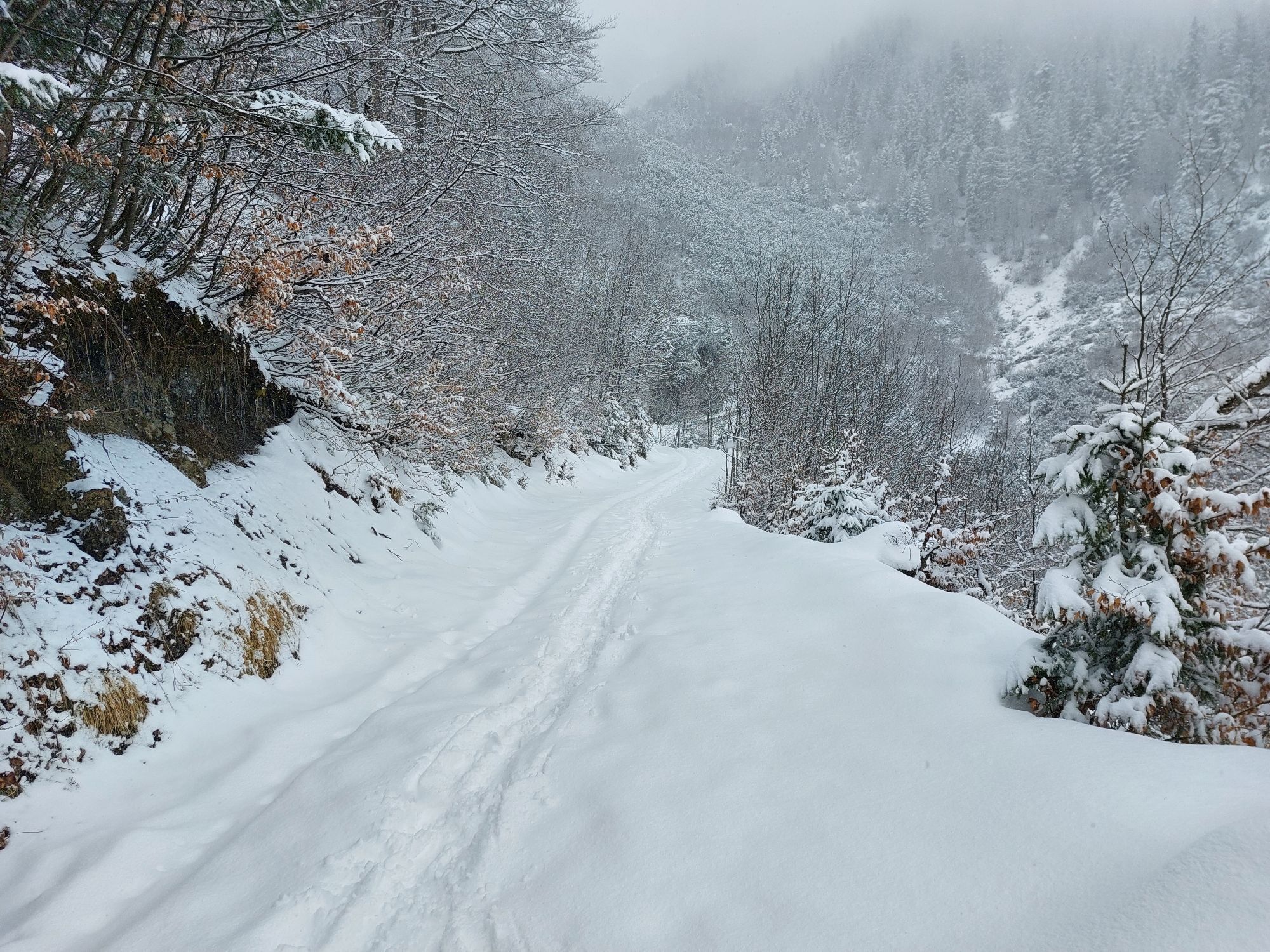
 © tracksauOprettet den 16.11.2024
 -
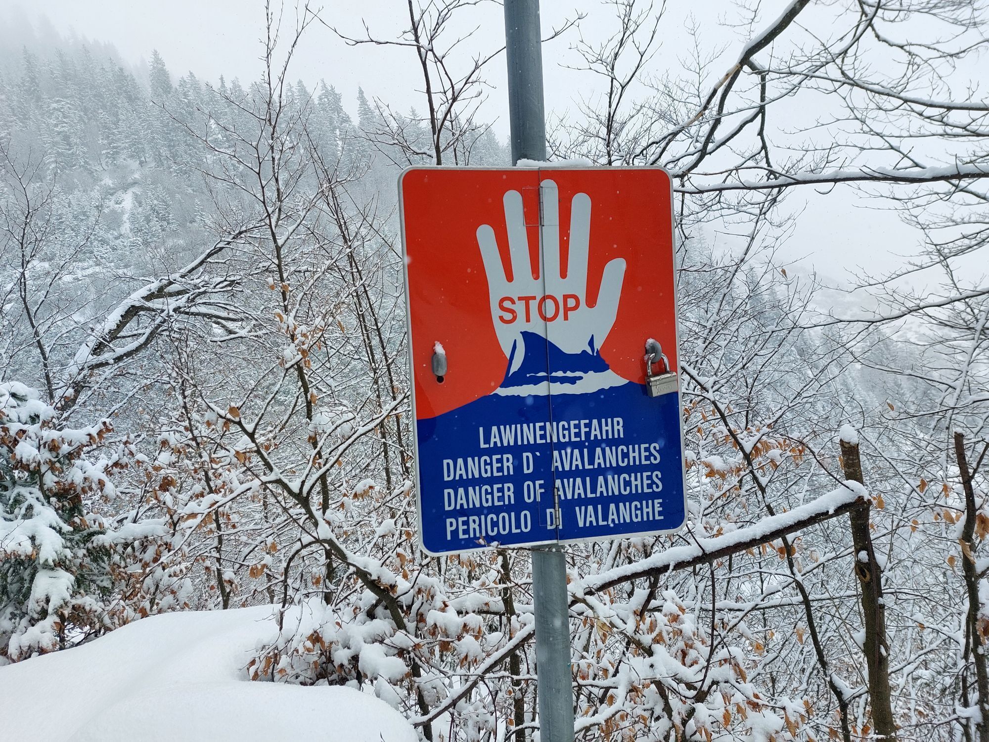
 © tracksauOprettet den 16.11.2024
 -
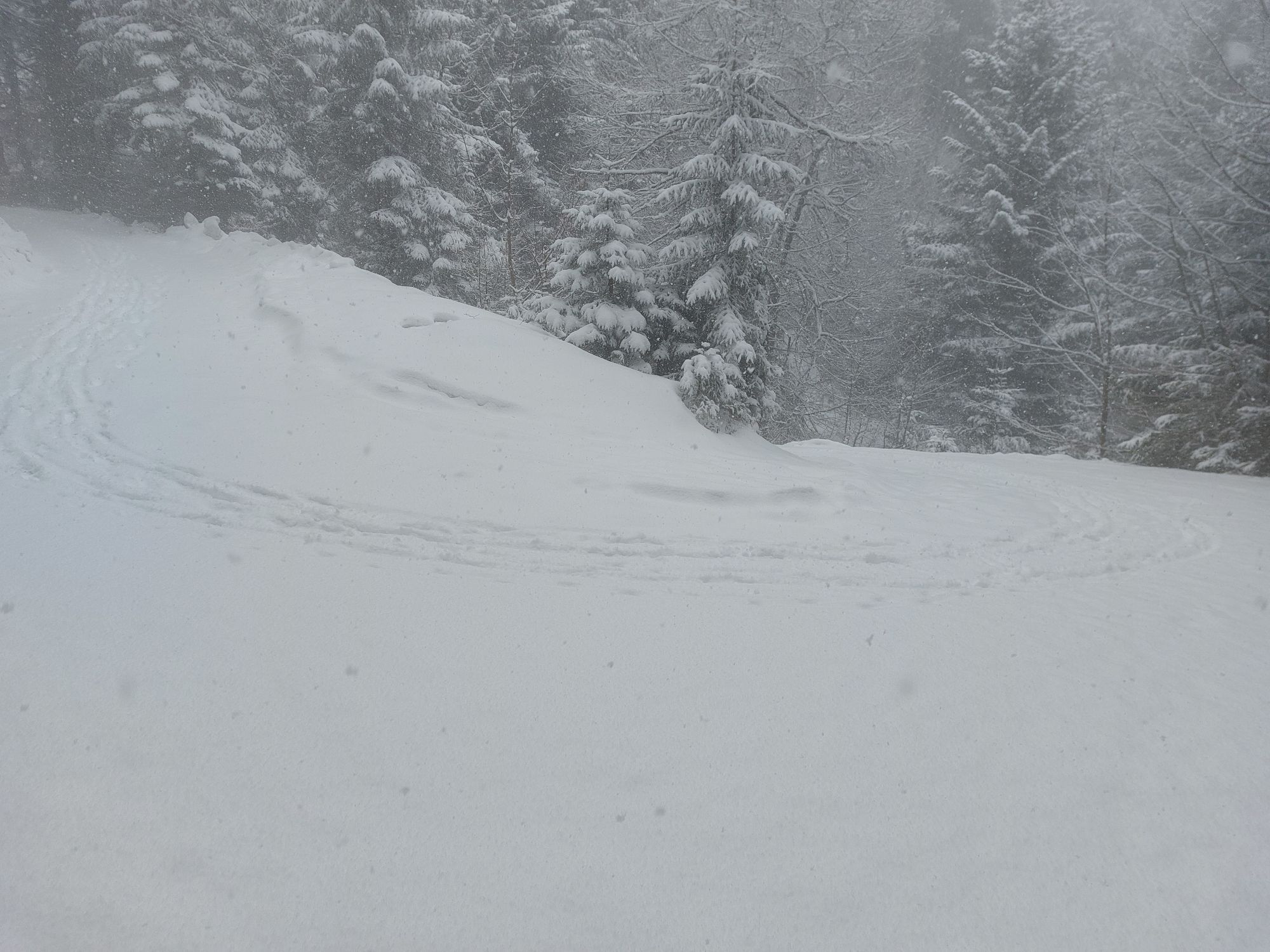
 © tracksauOprettet den 16.11.2024
 -
 © tracksauOprettet den 16.11.2024
 -
 © Manni W.Oprettet den 12.03.2023
 -
 © Manni W.Oprettet den 12.03.2023
 -
 © Manni W.Oprettet den 12.03.2023
 -
 © Manni W.Oprettet den 12.03.2023
 -
 © Manni W.Oprettet den 12.03.2023
 -
 © Manni W.Oprettet den 12.03.2023
 -

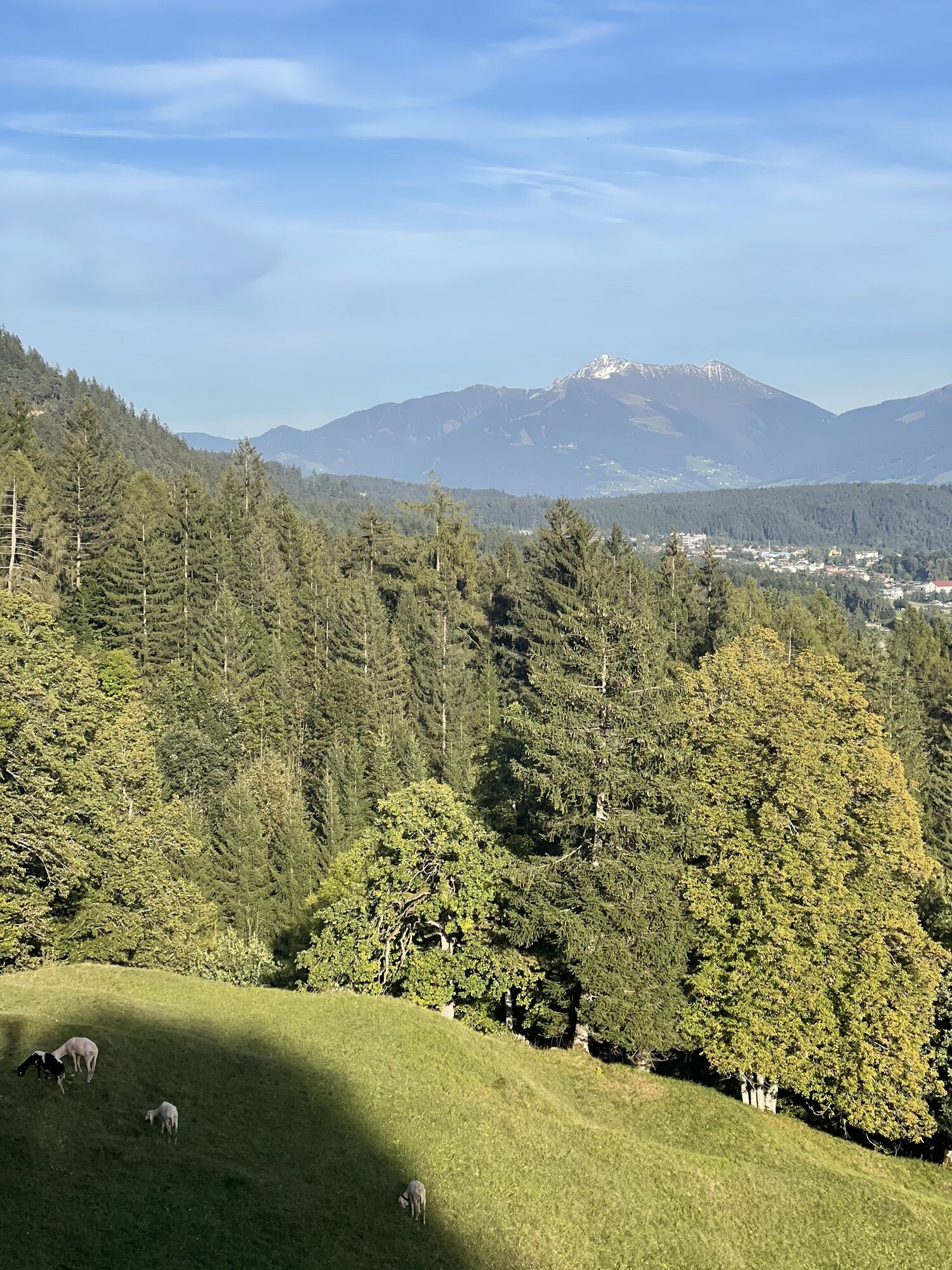
 © Boris RepschinskiOprettet den 23.09.2022
 -
 © Boris RepschinskiOprettet den 23.09.2022
 -
 © Boris RepschinskiOprettet den 23.09.2022
 -
 © Boris RepschinskiOprettet den 23.09.2022
 -
 © Boris RepschinskiOprettet den 23.09.2022
 -
 © Boris RepschinskiOprettet den 23.09.2022


This mountain route leads up to the Wildangerspitze. The return path can be chosen either via the Thaurer Alm or from the Törl with descent through St. Magdalena out through the Halltal.

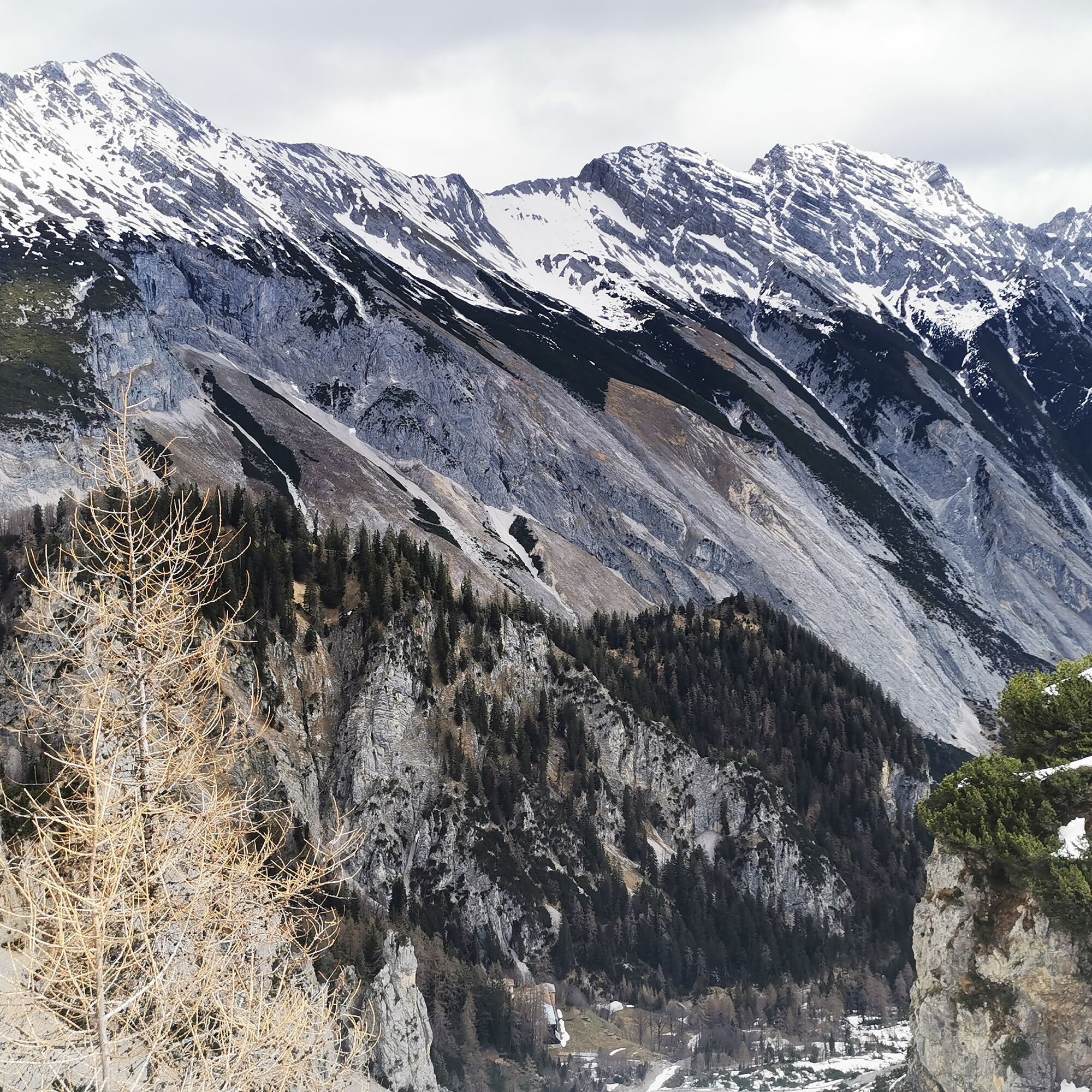
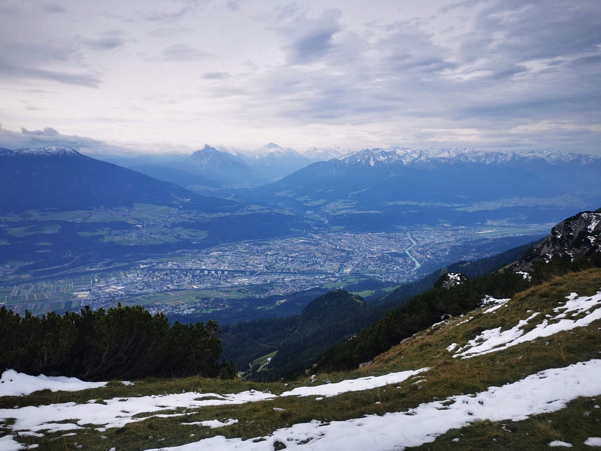
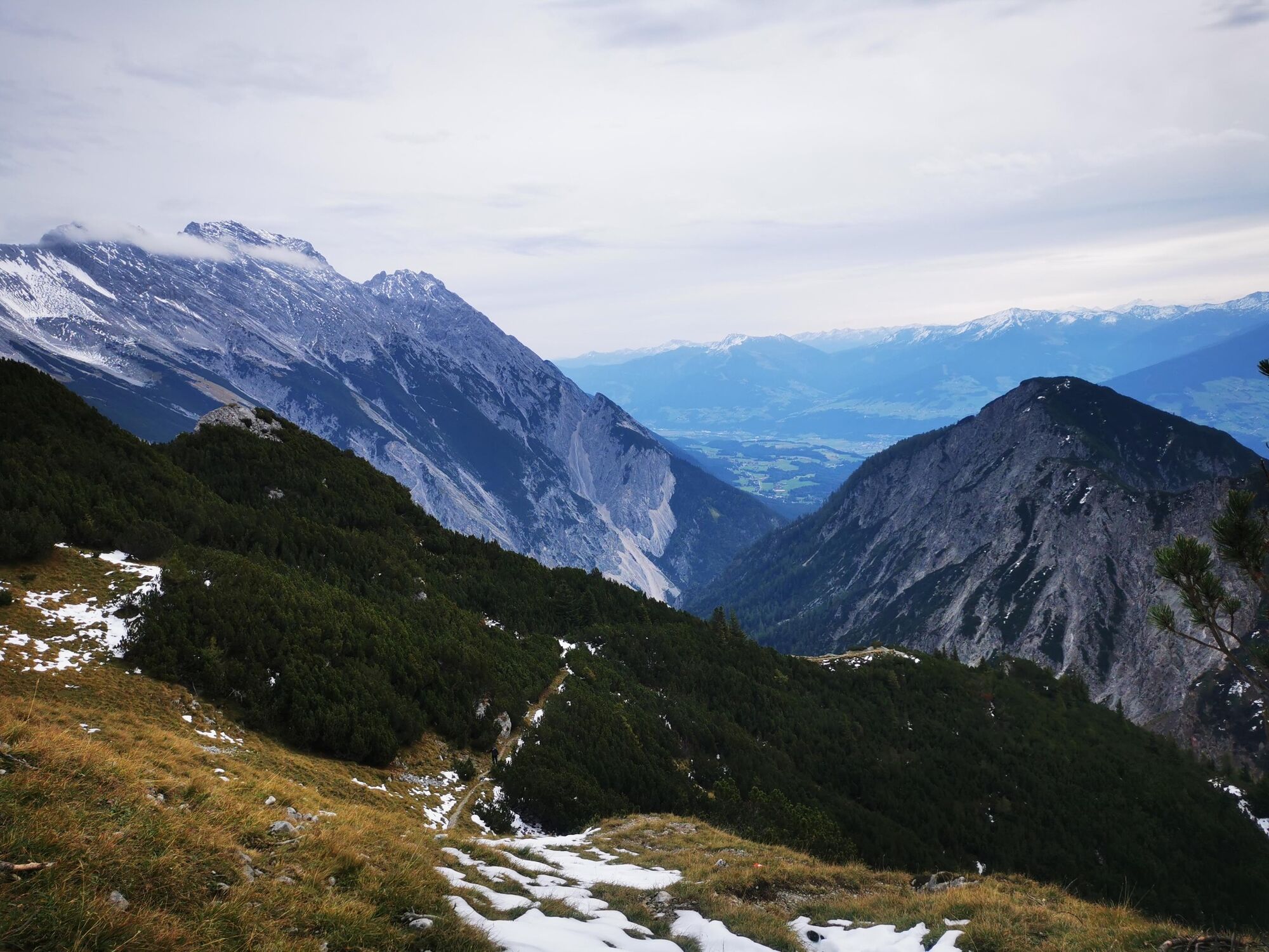
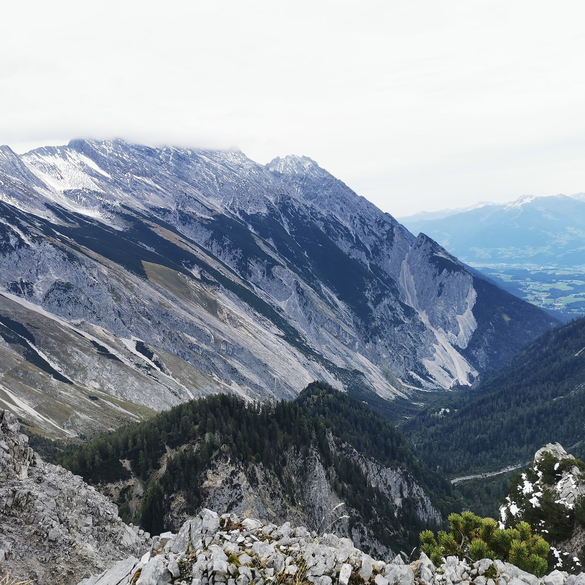
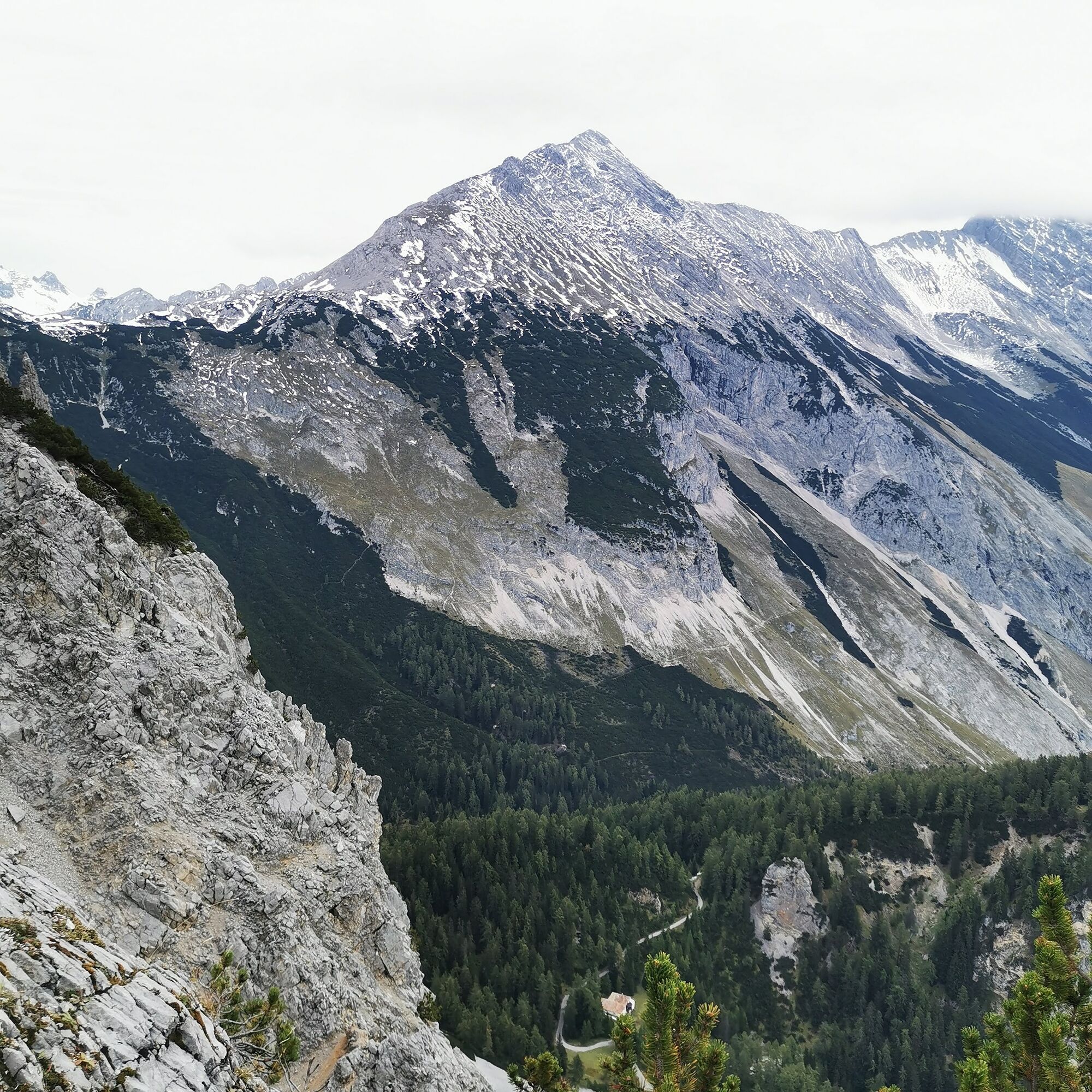
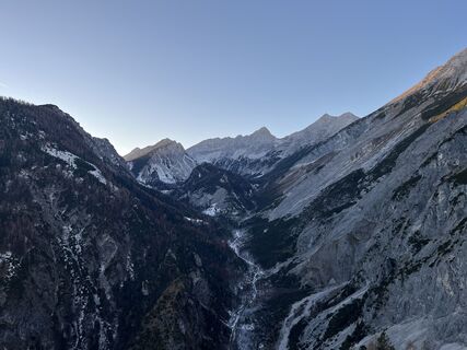
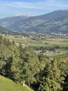
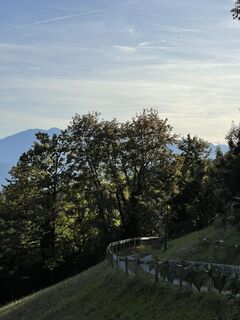
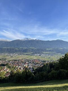
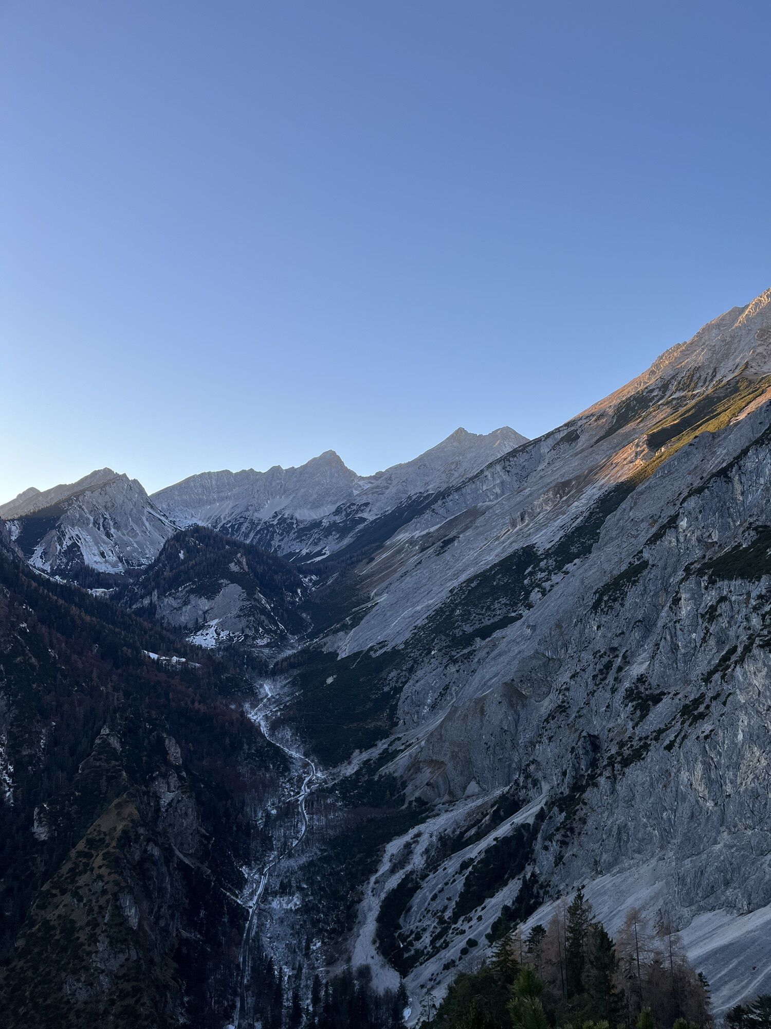
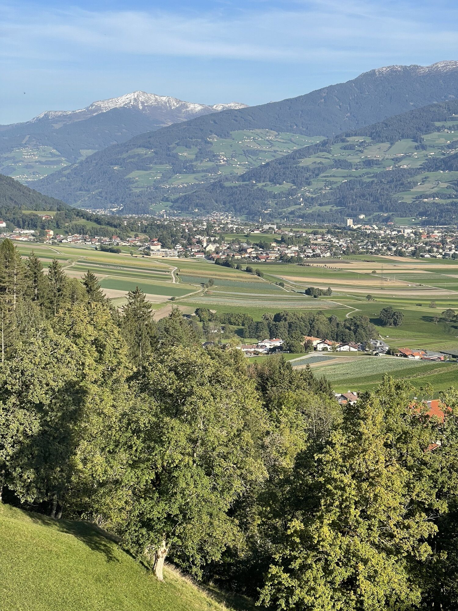
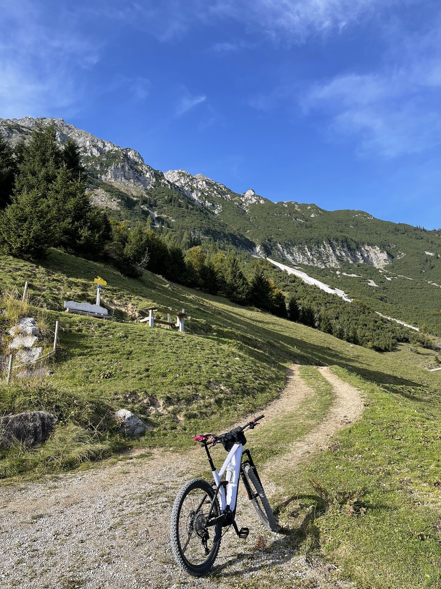
From Thaur you go up via the forest road or the path to the Thaurer Alm and further in the direction of the Törl. Following the meadows up to the Törl. At the saddle between the Thaurer Zunterkopf and the Wildangerspitze, you have a wonderful view of the Bettelwurf, over and down to the HerrenhÓ“user in the Halltal.
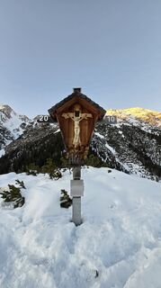
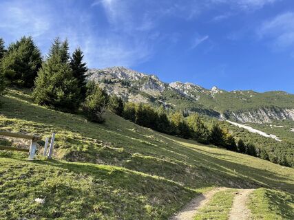
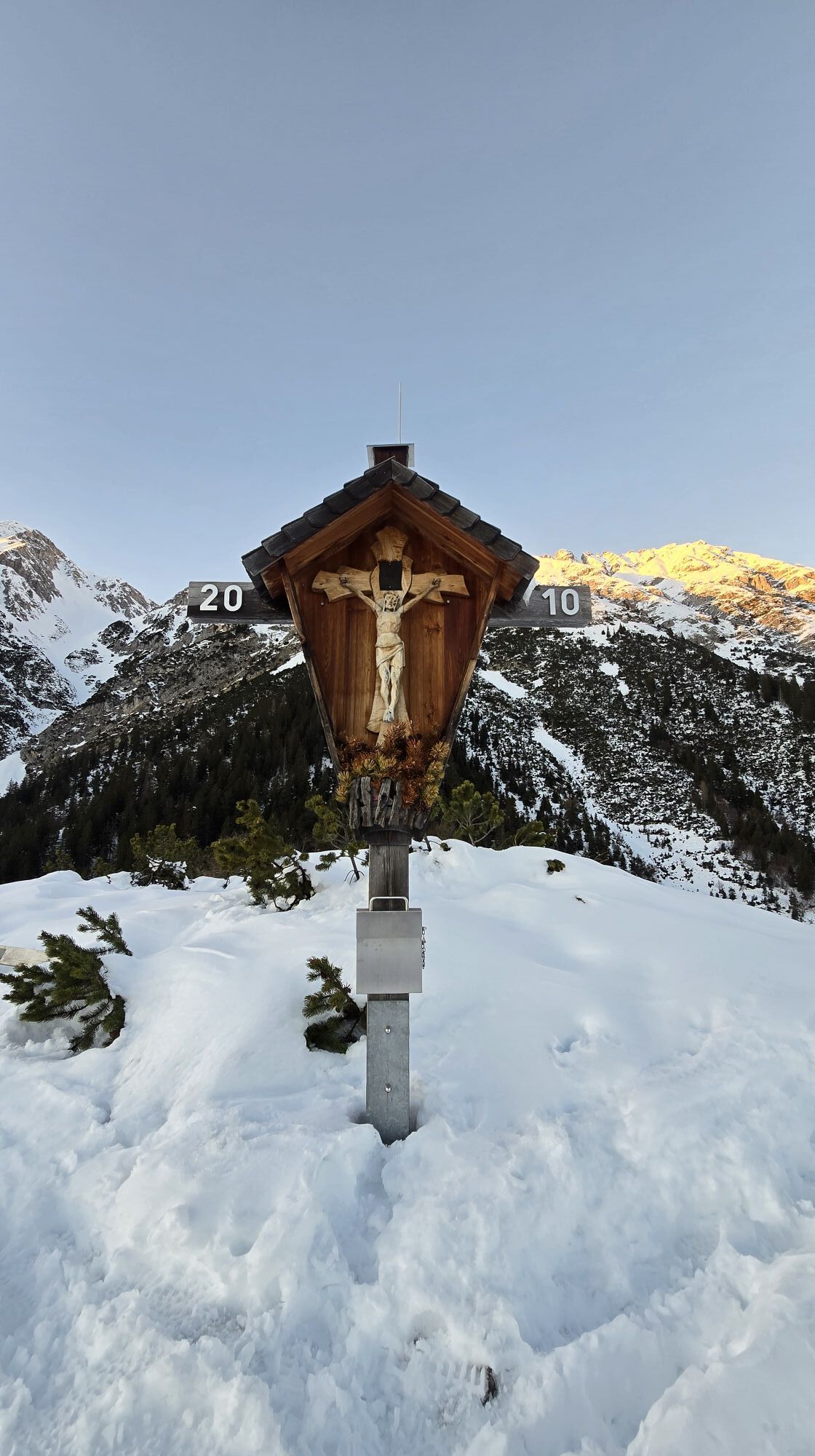
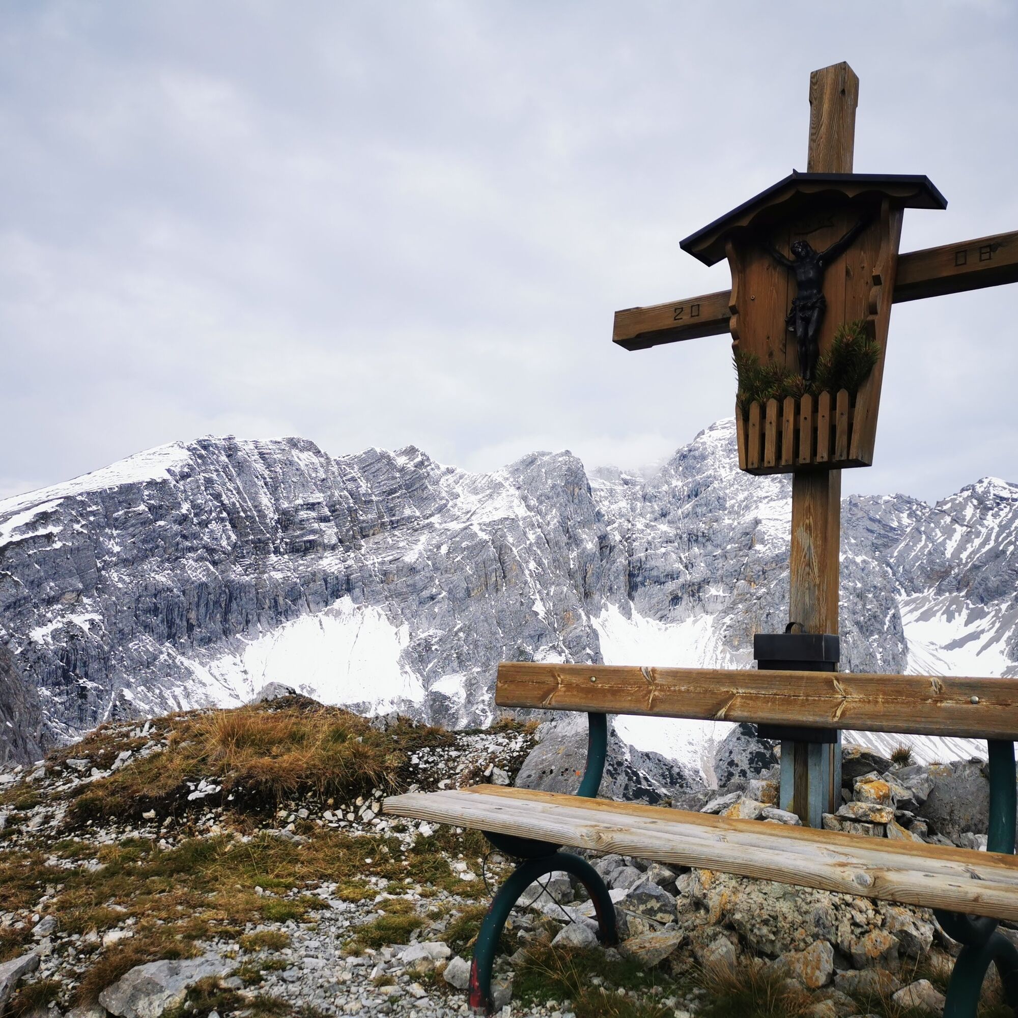
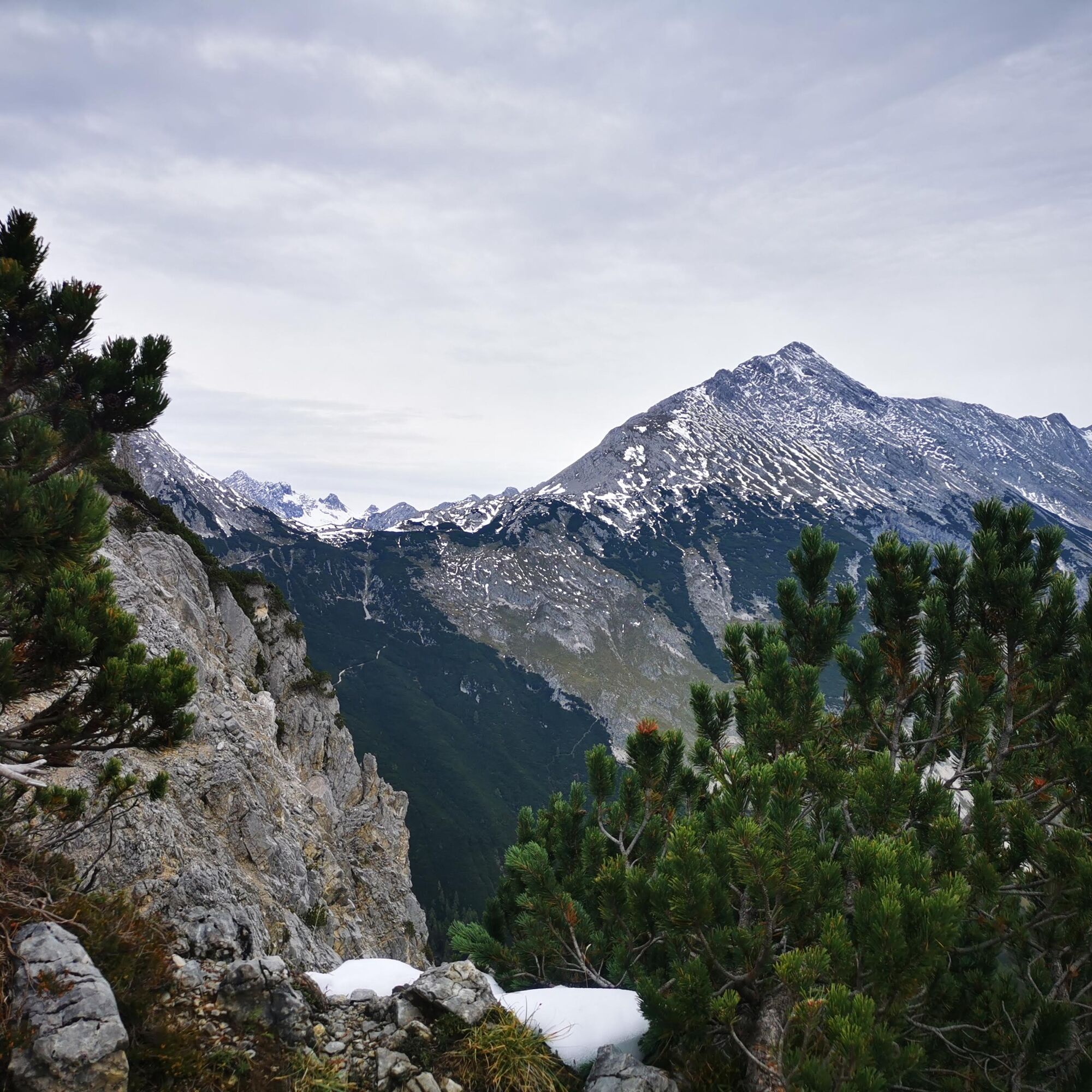
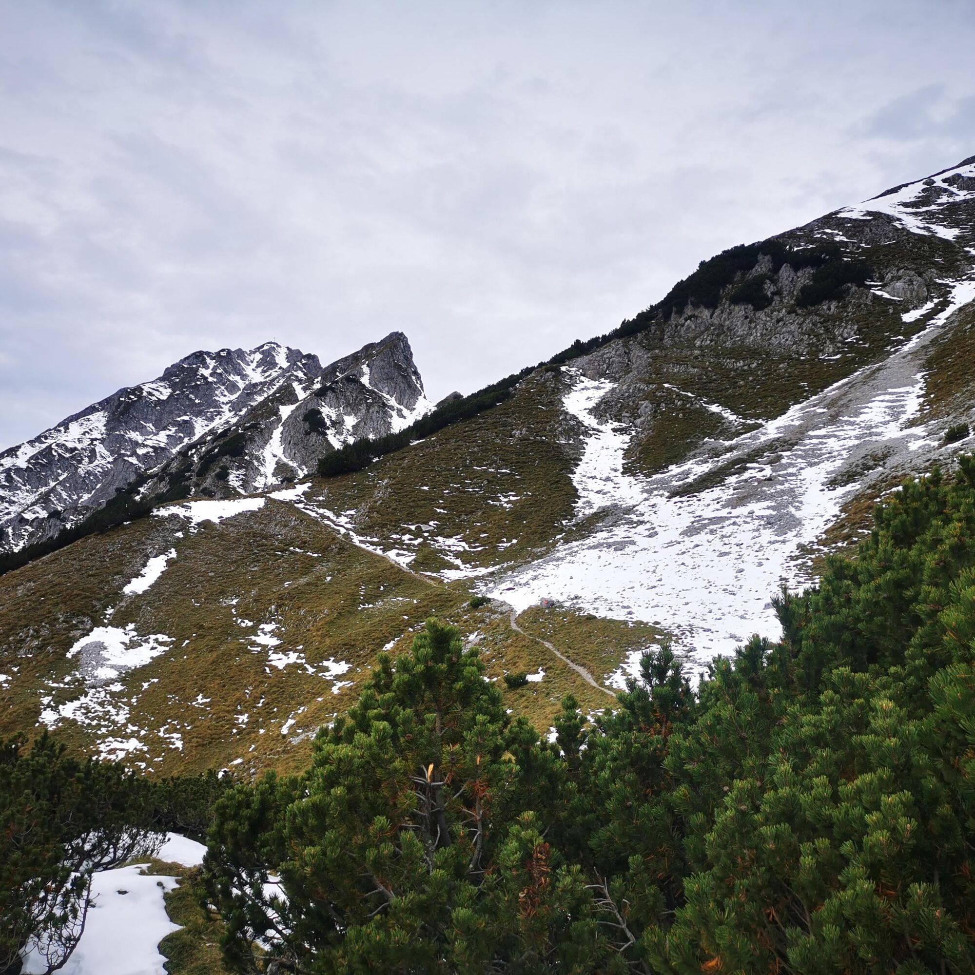
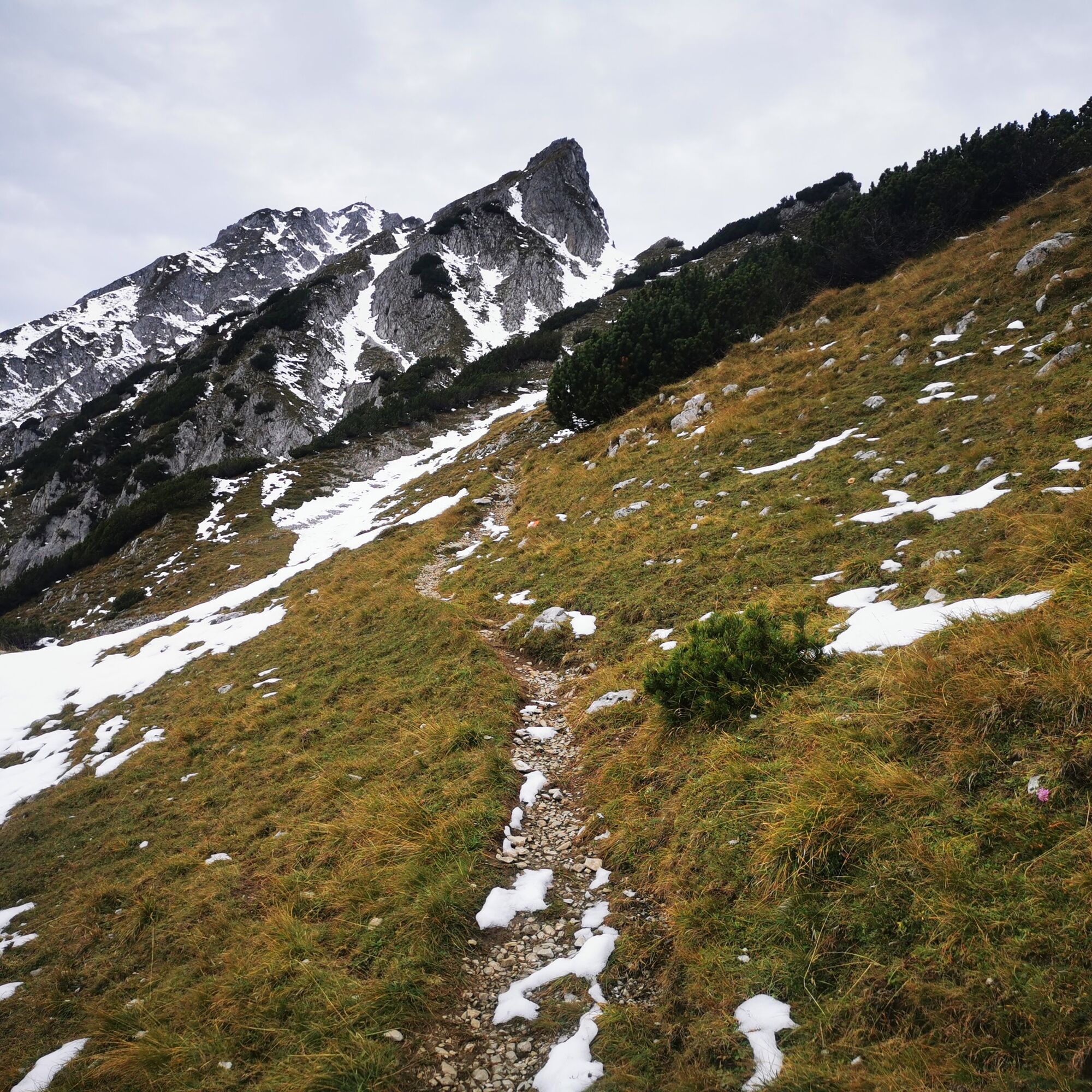
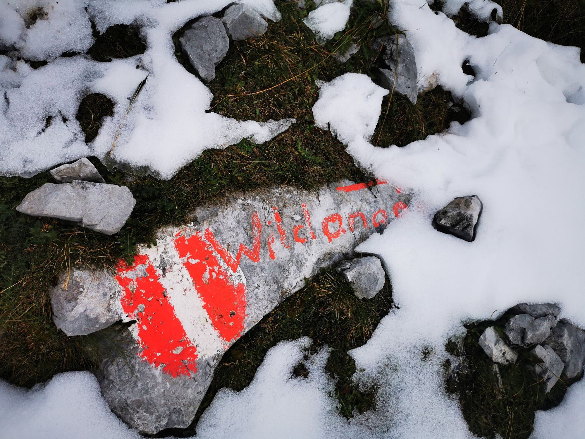
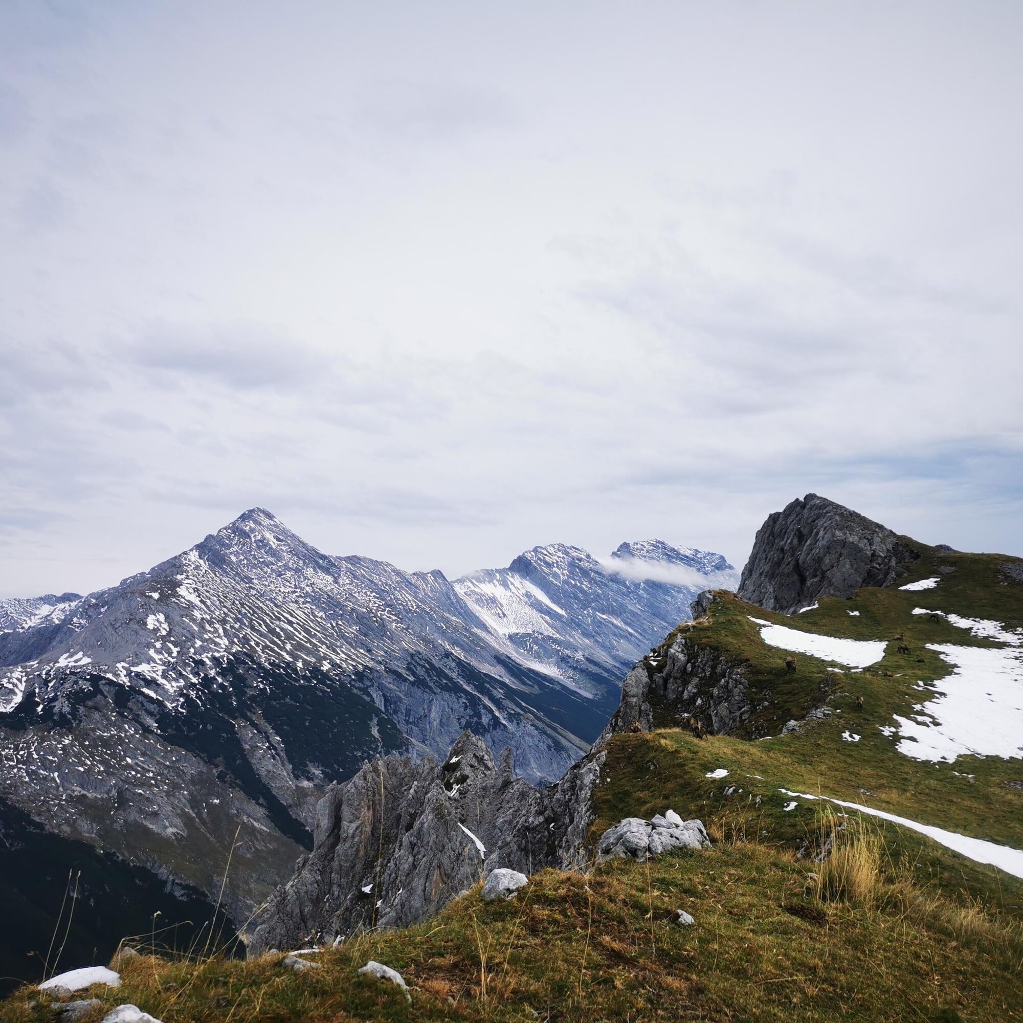
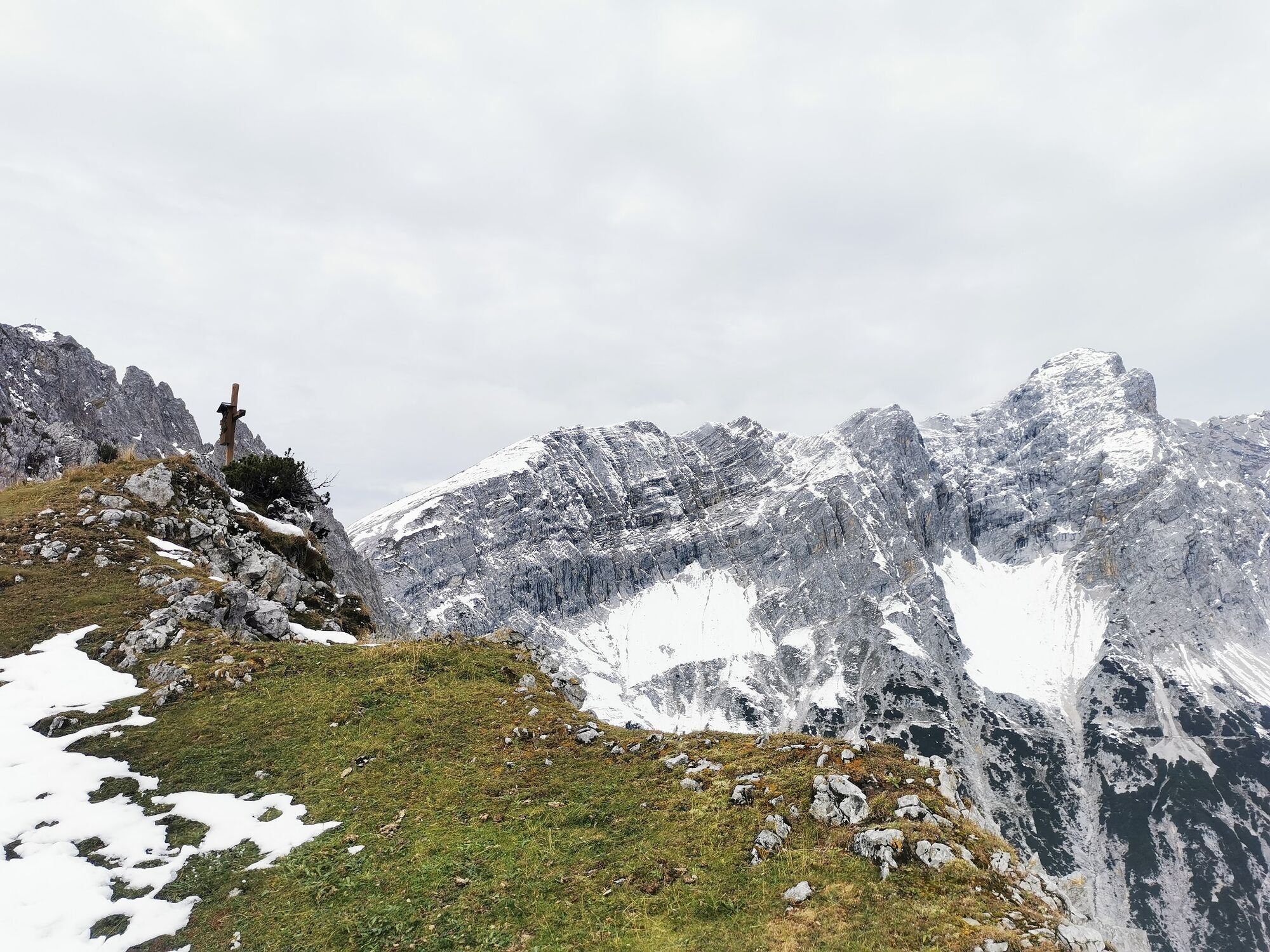
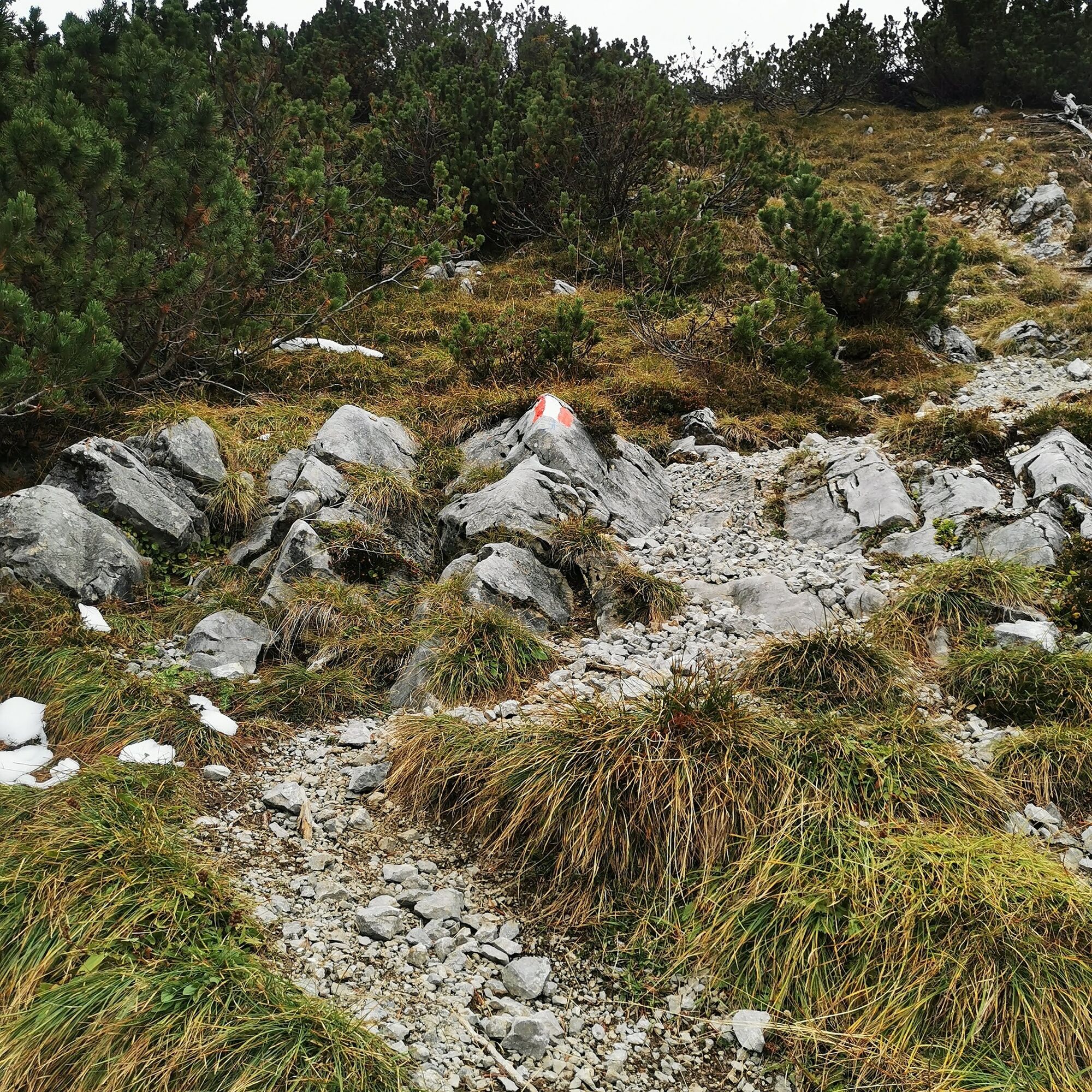
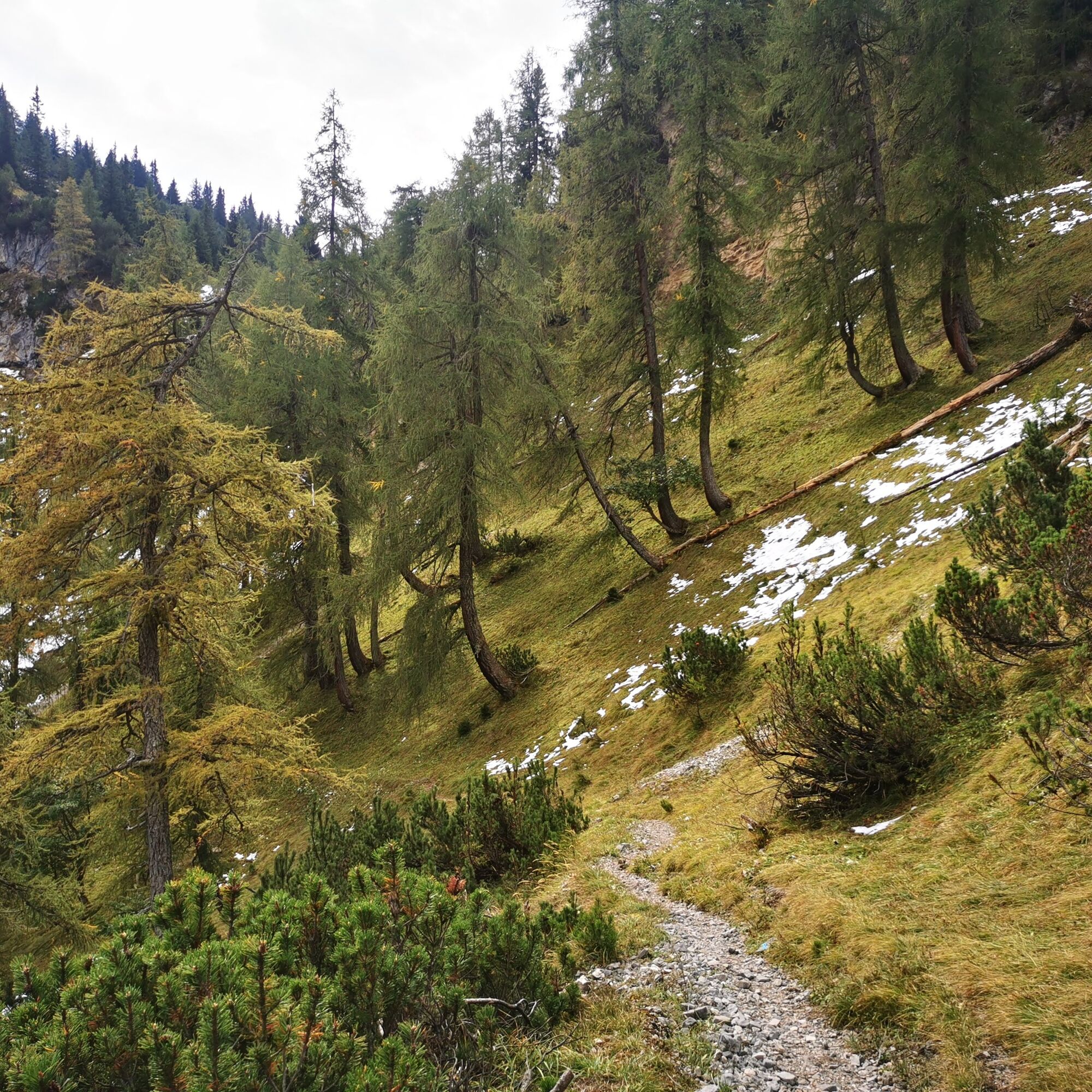
Further on, turn left heading northwards, up the steep path towards the Wildangerspitze/ Lattenspitze. You enter larch-covered slopes that clear at the very end. Crossing a grassy south-facing slope, head unmarked northwards along visible tracks towards the ridge edge. Here stands the "summit cross" of the Wildanger. Beware that it drops steeply to the north!
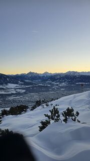
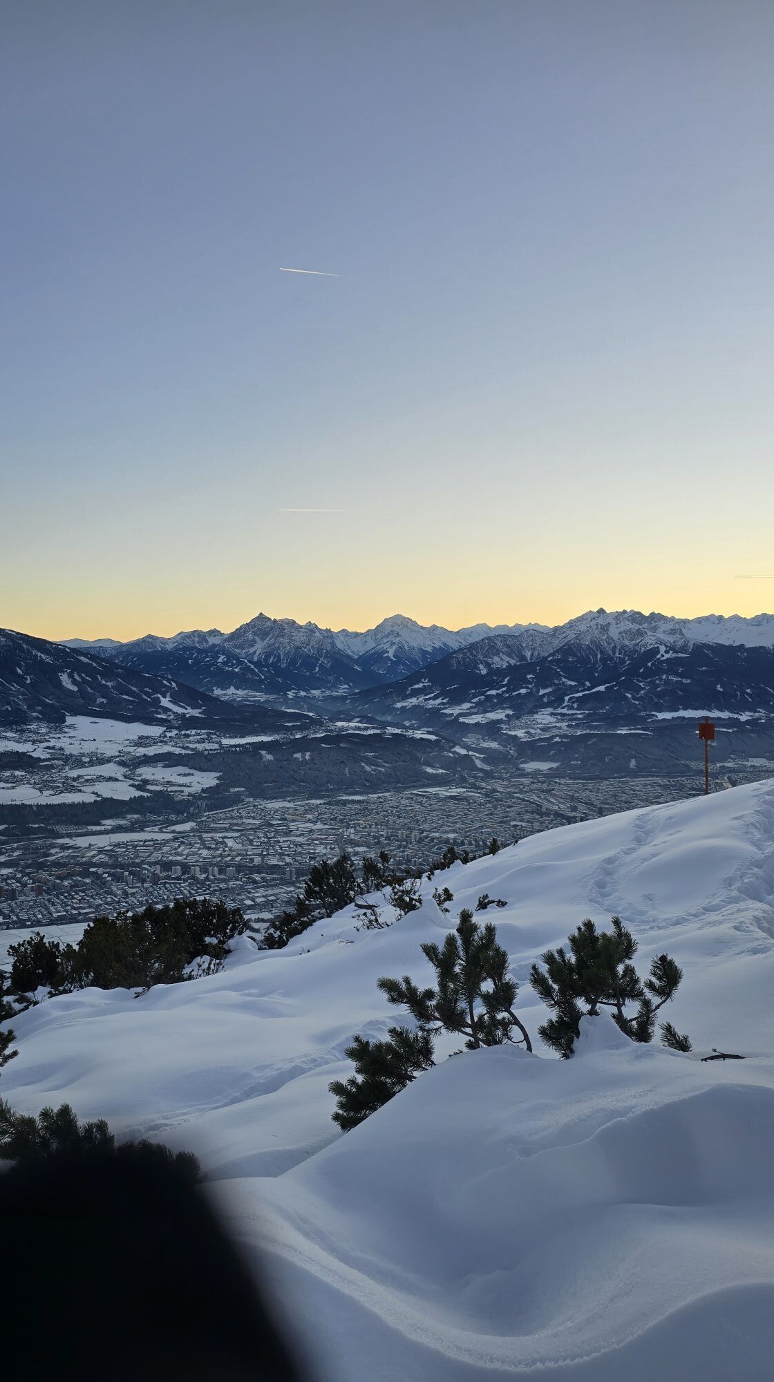
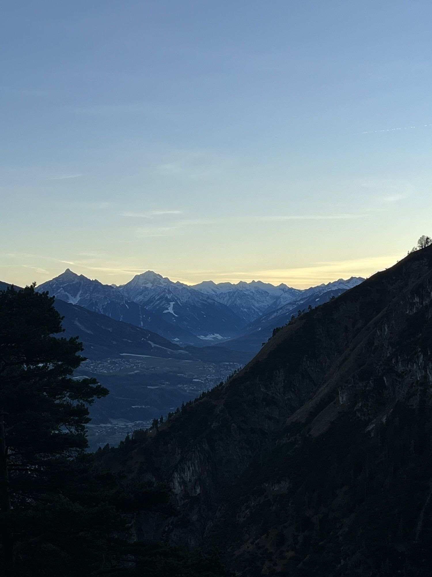
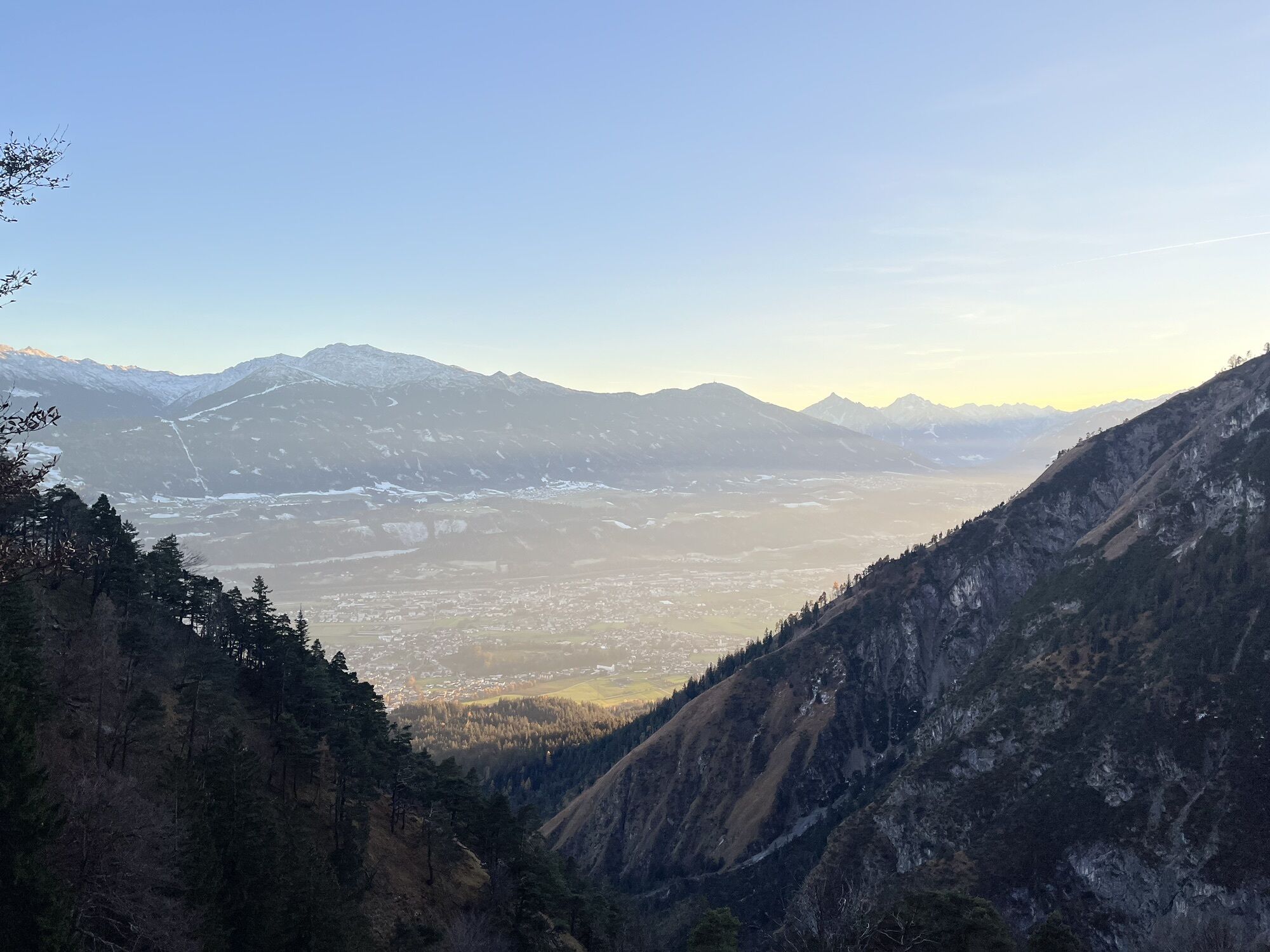
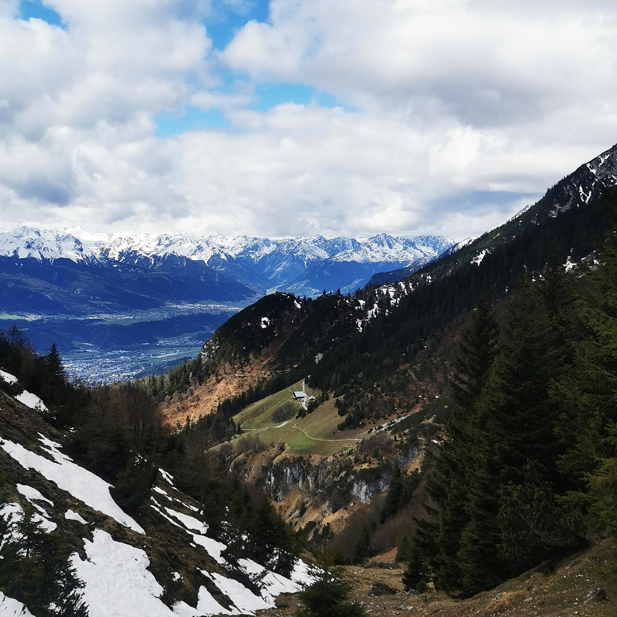
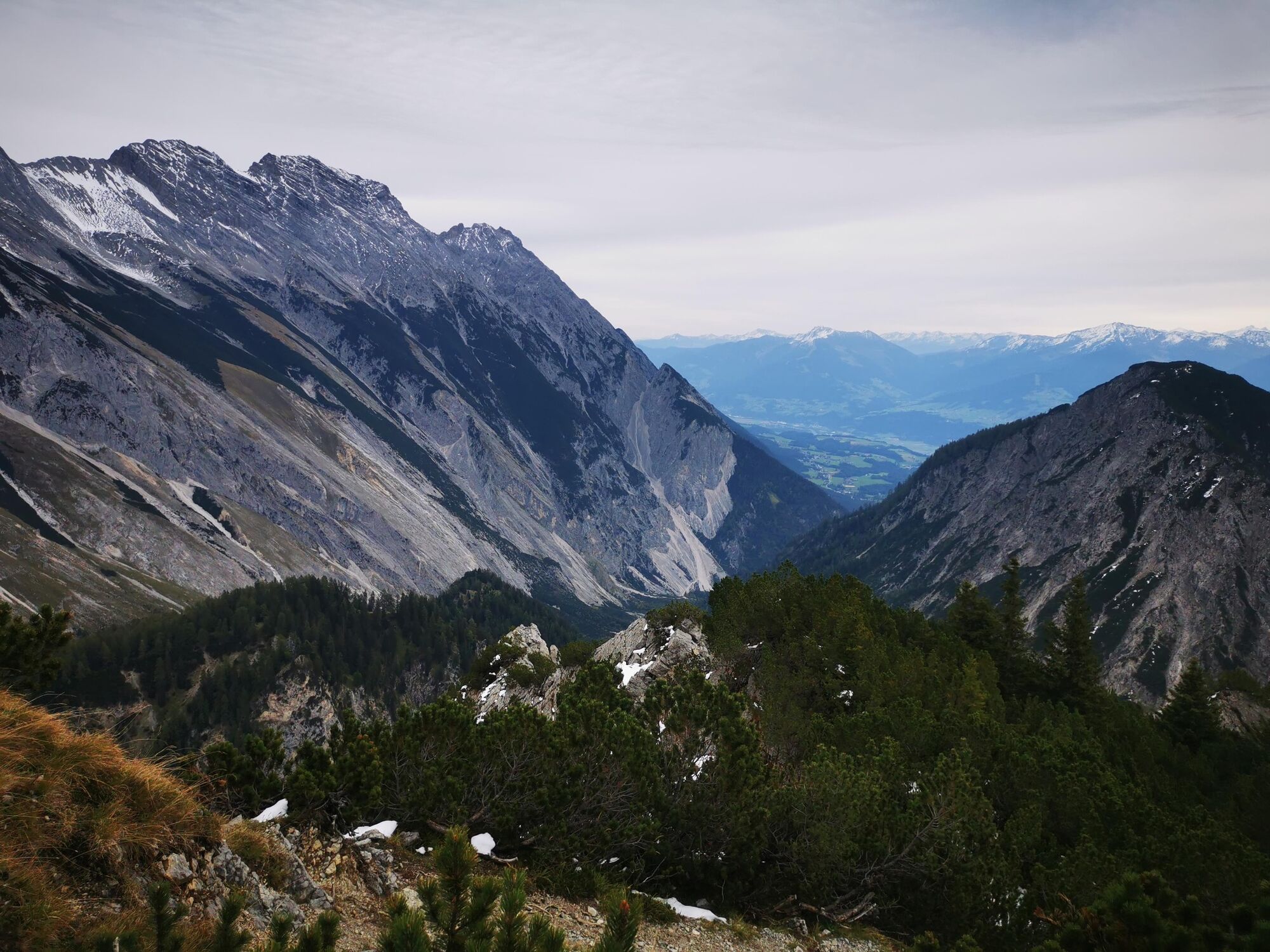
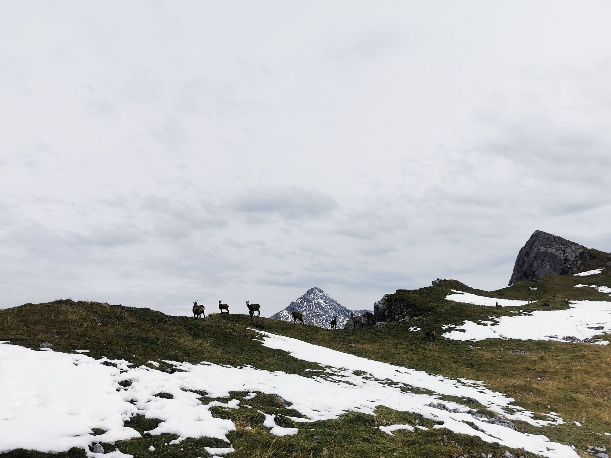
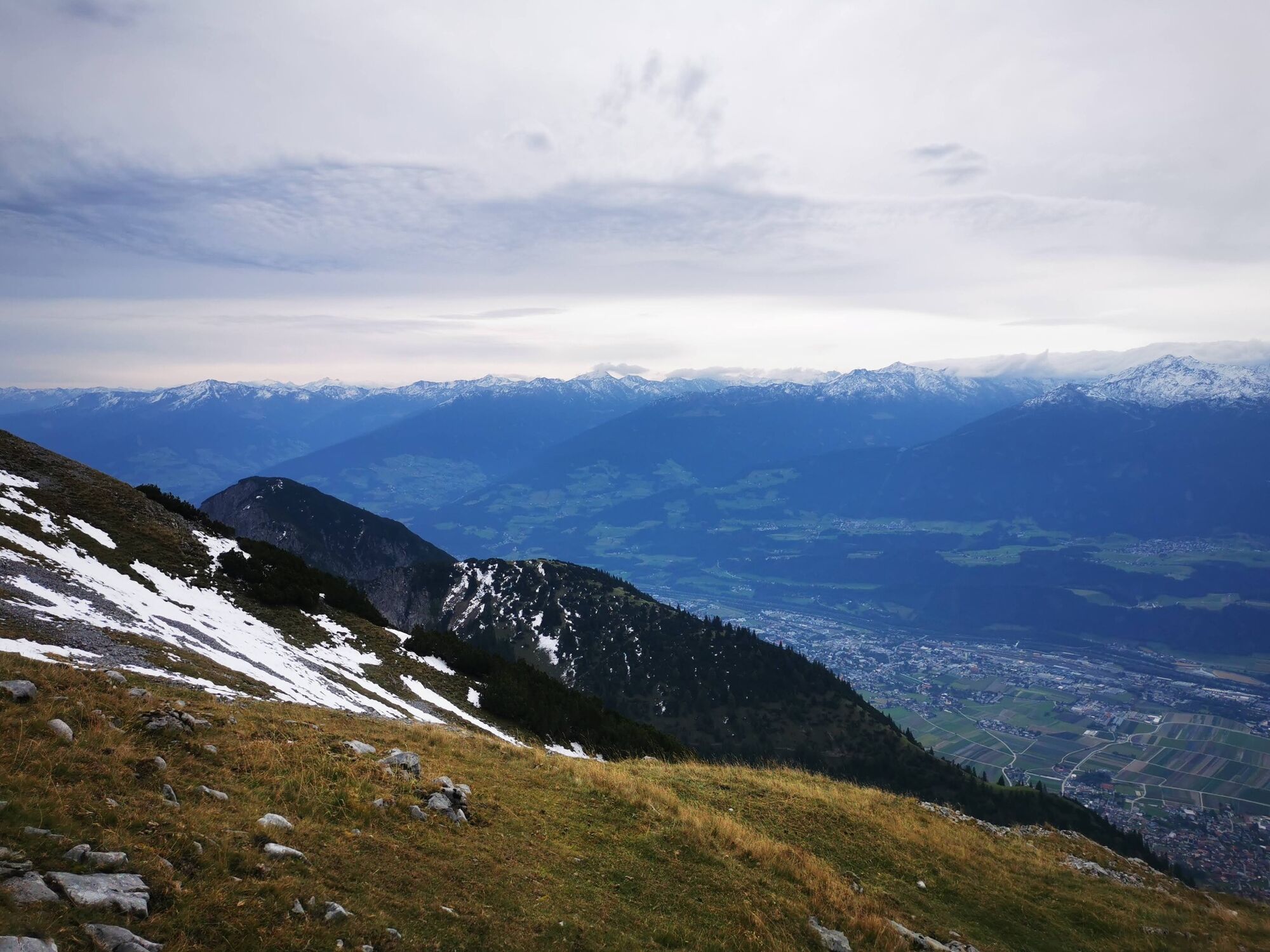
The view extends over the Inn valley to the Tux and Stubai Alps. Also, naturally, into a part of the Karwendel; to the Stempeljoch and Stempelspitze, the Wilde-Bande-Steig, Lafatscherjoch, Bettelwurf...and much more.
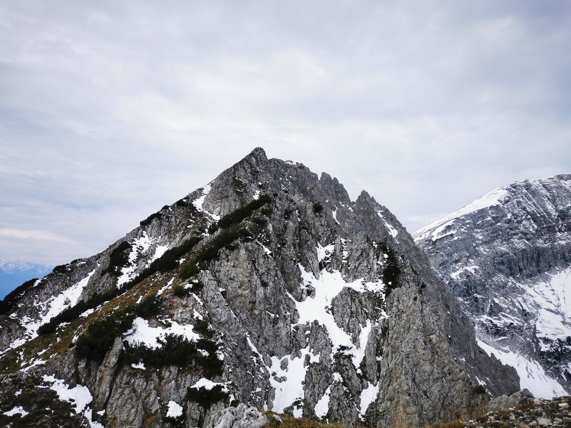
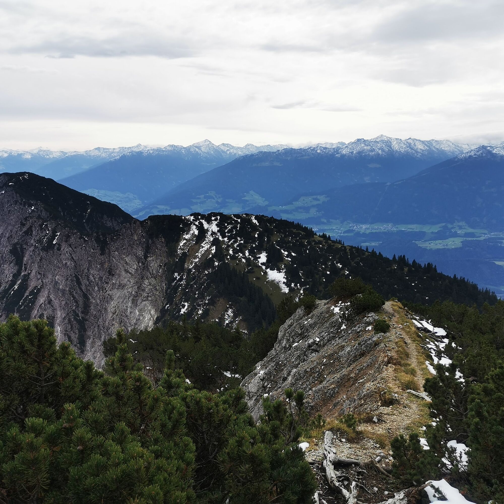
The possible onward route for sure-footed and experienced hikers is already distinguishable here and leads further to the Lattenspitze. However, this path also has exposed sections.
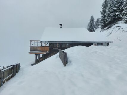
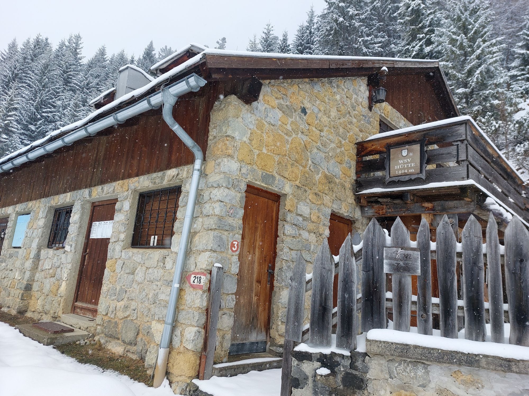
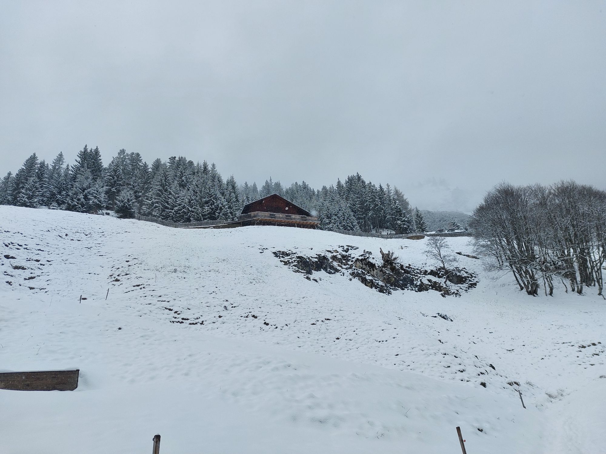
Today, the route does not go further but returns the same way to the Törl. From here, you have the option to end the route as a loop and hike through the Halltal to the bus stop, or return the same way. Both routes offer good opportunities for refreshments.
Ja
Parking lot Thaurer Alm
Bus 501/502/503 -> Thaur Mitte
Parking lot Thaurer Alm
T2
Expandable for experienced hikers to the Lattenspitze
Populære ture i området
-
4.6
To the scenic Hochmahdkopf
MediumVandring 8.31 km -
4.8
Via Ferrata at the Hundskopf
tungVia ferrata 2.18 km -
3.7
To the alpine inn St. Magdalena in the Halltal
MediumVandring 7.24 km -
4.6
Hinterriss - Eng - Falkenhütte
MediumVandring 6.88 km -
4.9
3 Almen Karwendelrunde MTB Route 408
tungMountainbike 23.8 km -
4.5
Sonnjoch
MediumVandring 11.2 km -
4.7
Gramaialm - Lamsenjochhütte
MediumVandring 4.08 km -
4.7
Patscherkofl
MediumVandring 18.5 km -
Der Goethe Weg in Tirol
MediumVandring 15.9 km -
4.0
In the footsteps of Emperor Franz I to the Kaisersäule
MediumVandring 11.0 km
Vandring og sporing


Gå ikke glip af tilbud og inspiration til din næste ferie
Din e-mailadresse er blevet tilføjet til mailinglisten.