© Tourismusverband Region Hall-Wattens - Anne W.
© Tourismusverband Region Hall-Wattens - Anne W.
© Tourismusverband Region Hall-Wattens - Anne W.
© Tourismusverband Region Hall-Wattens - Anne W.
© Tourismusverband Region Hall-Wattens - Anne W.
© Tourismusverband Region Hall-Wattens - Anne W.
© Tourismusverband Region Hall-Wattens - Anne W.
© Tourismusverband Region Hall-Wattens - Anne W.
© Tourismusverband Region Hall-Wattens - Anne W.
© Tourismusverband Region Hall-Wattens - Anne W.
- Kort beskrivelse
-
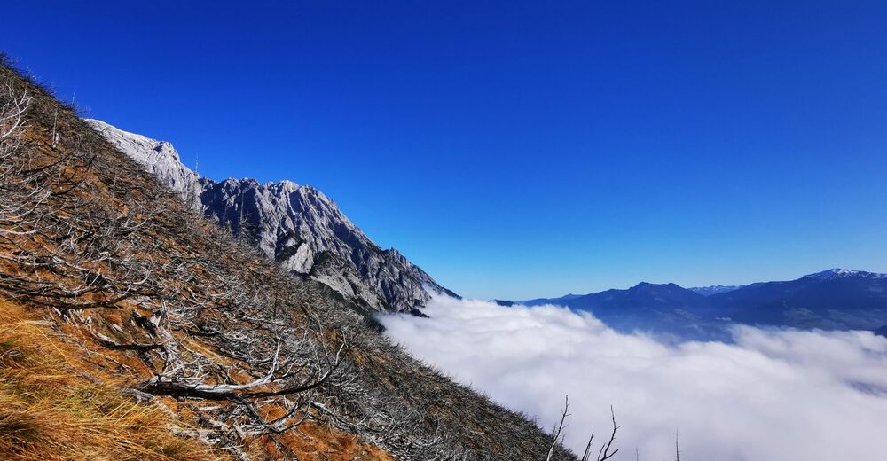
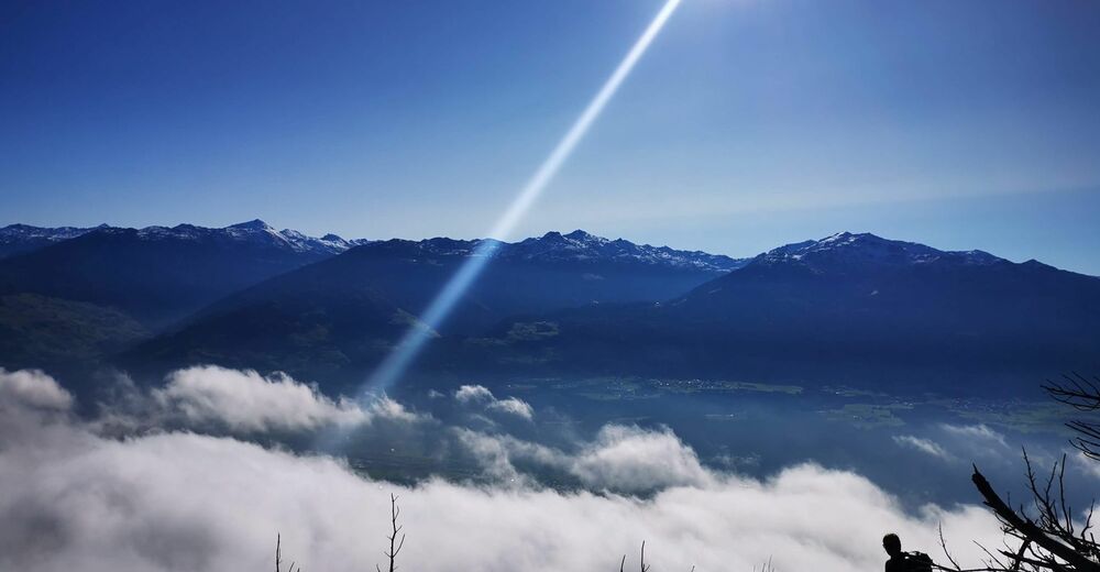
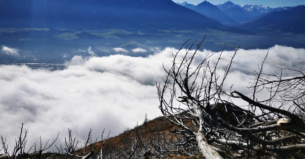
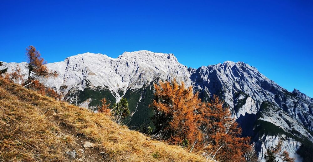
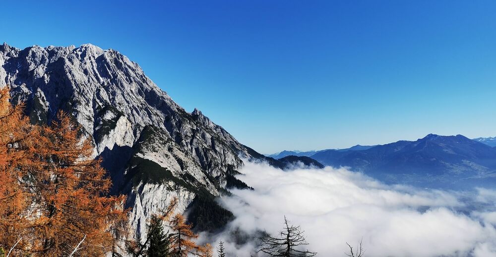
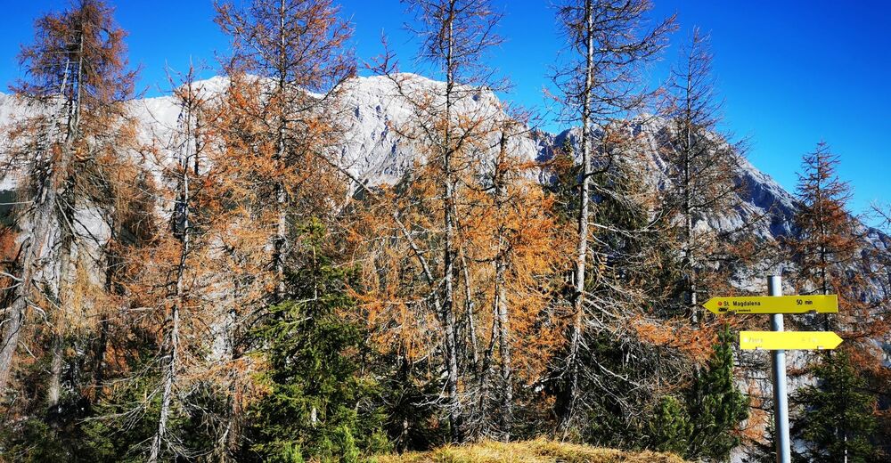
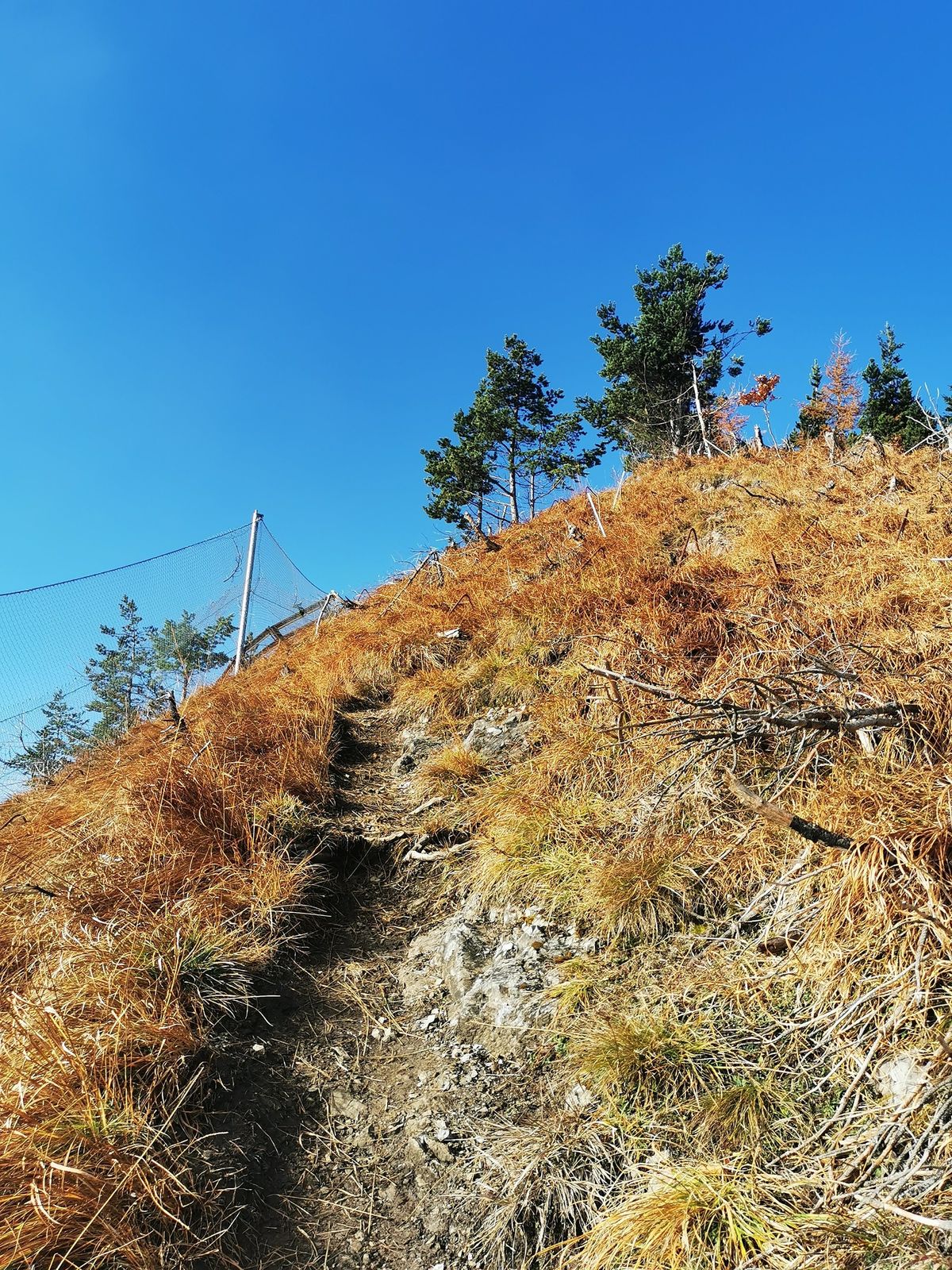
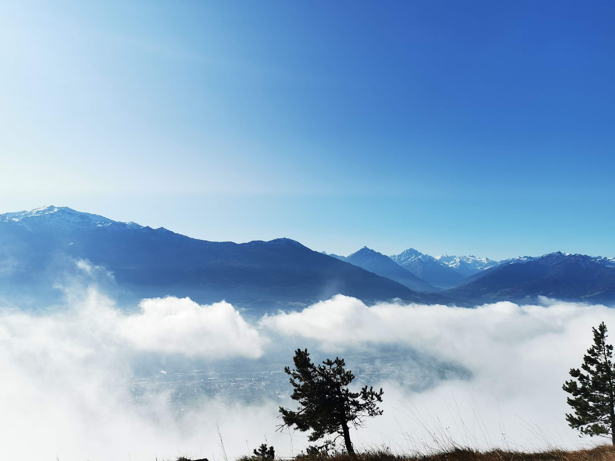
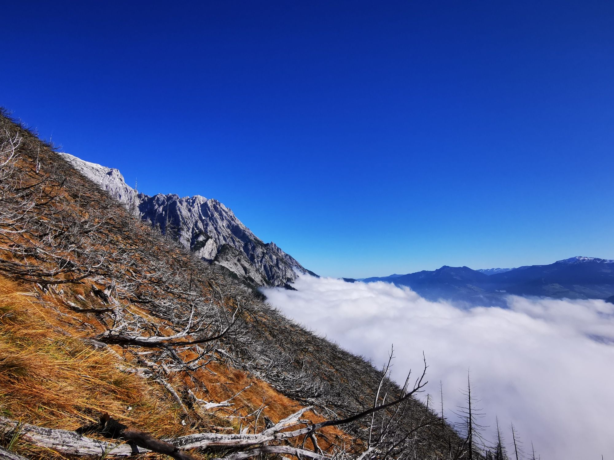
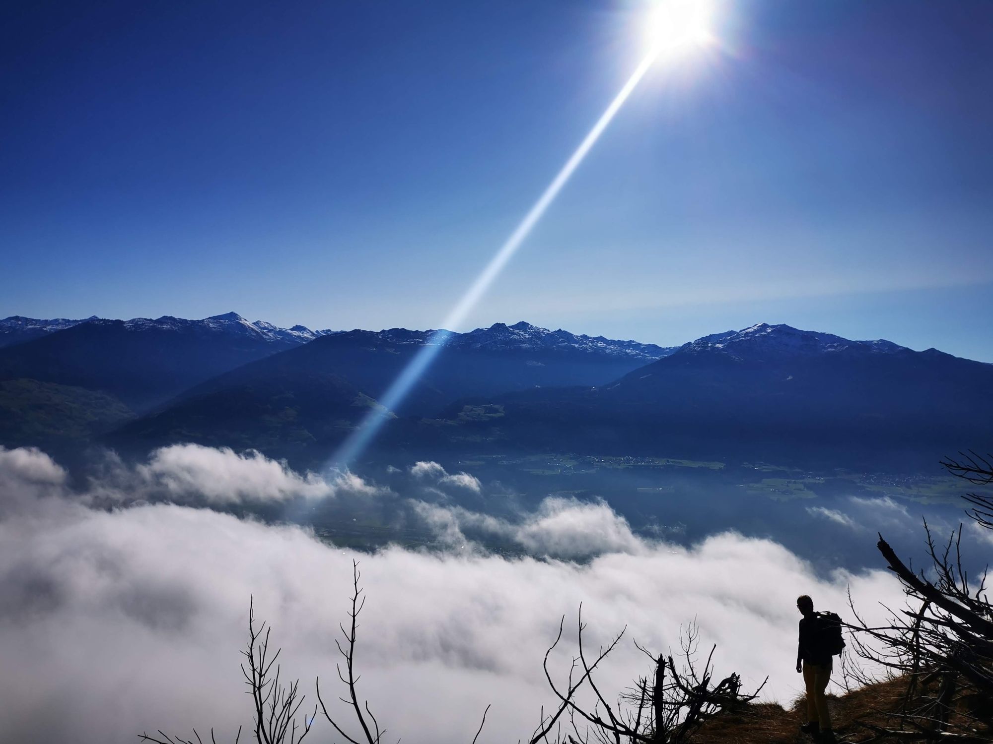
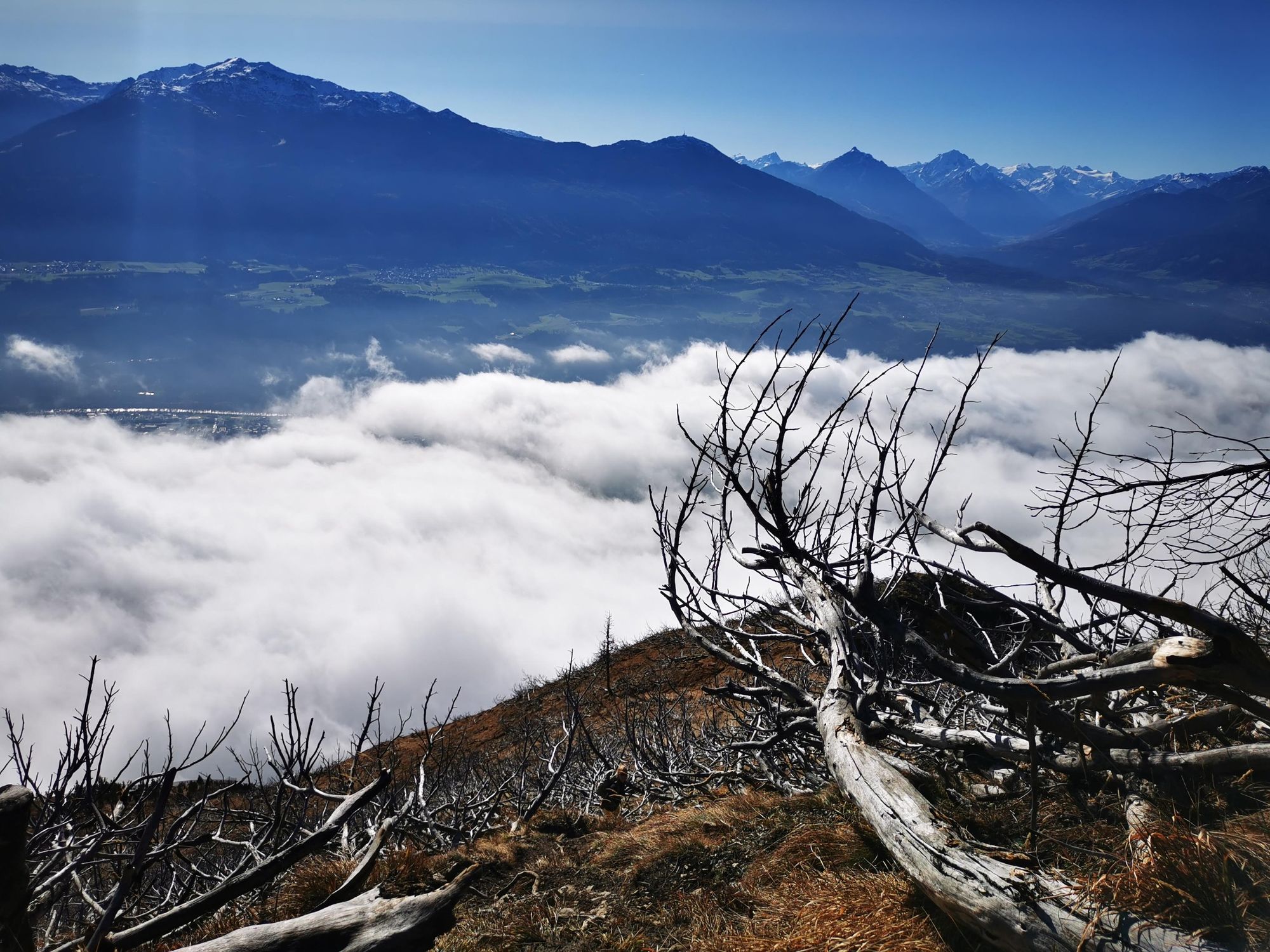
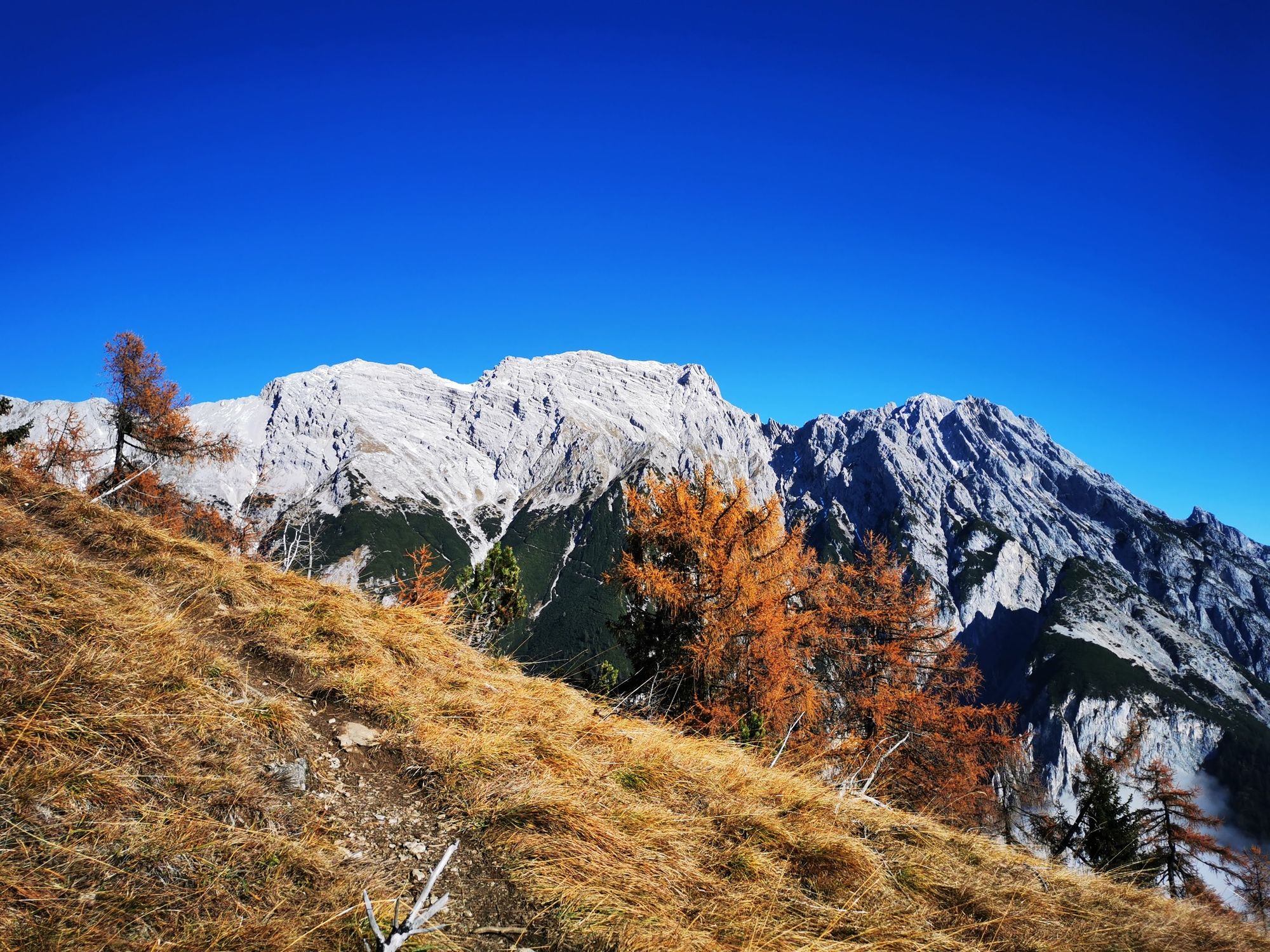
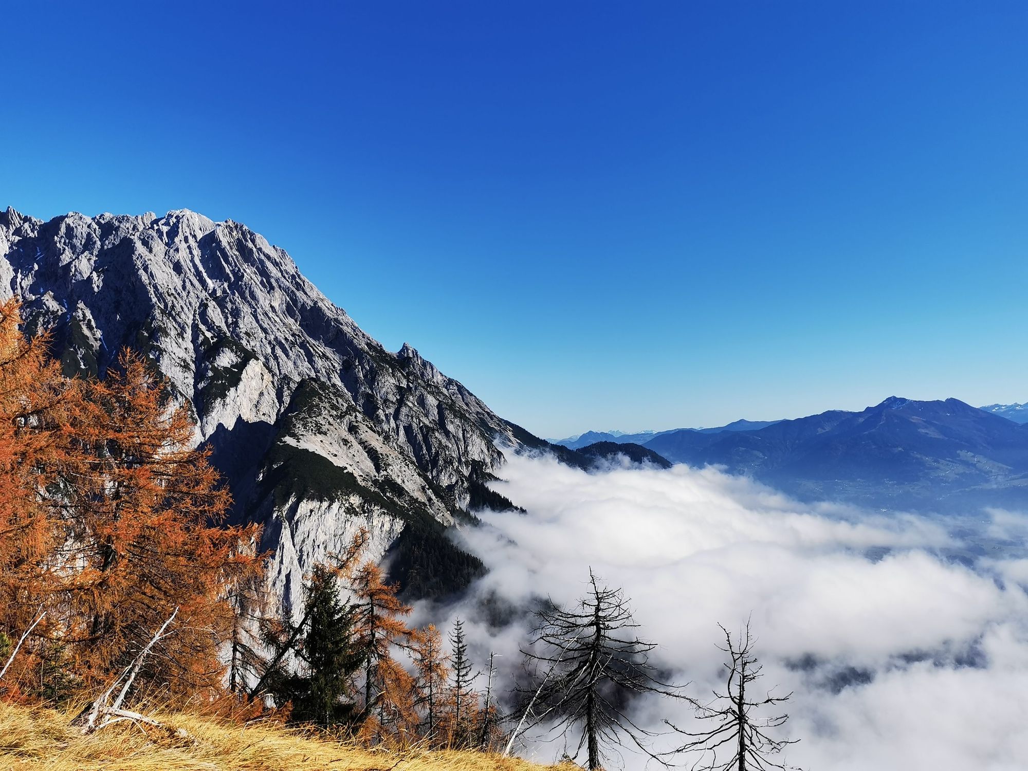
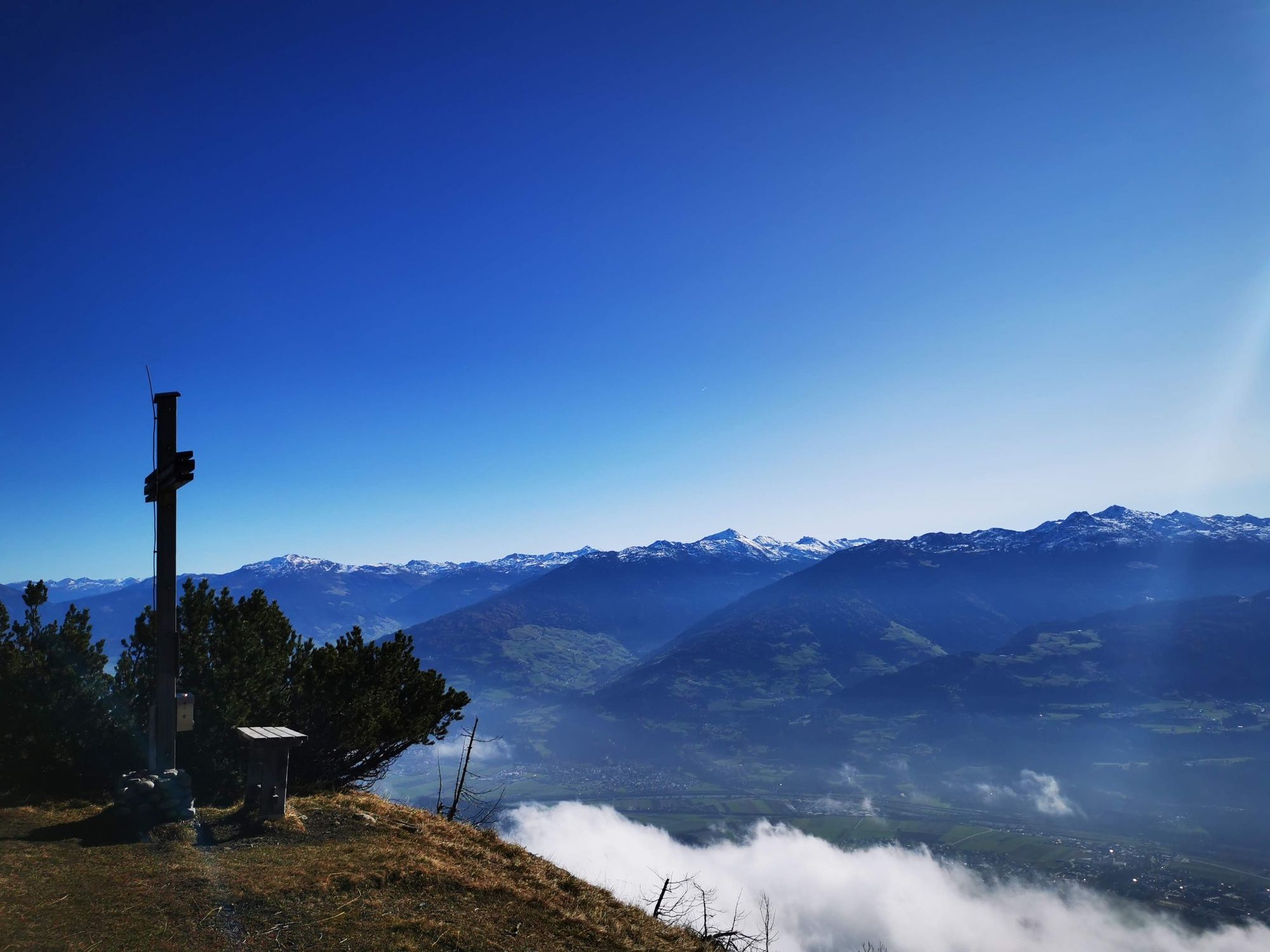
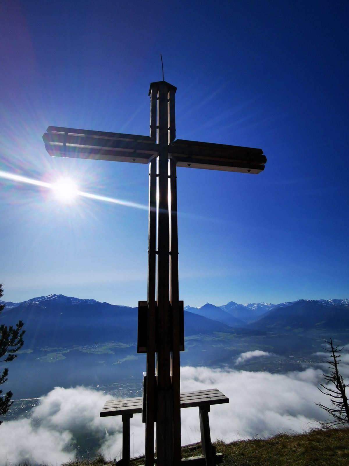
A short hike to the panoramic Hochmahdkopf!
- Sværhedsgrad
-
medium
- Evaluering
-
- Rute
-
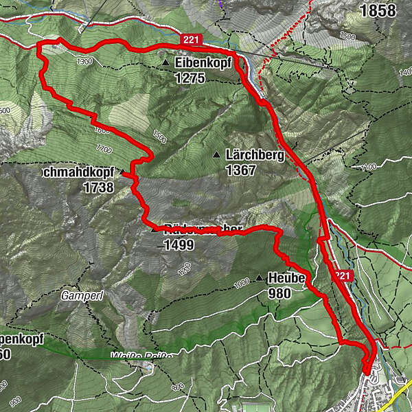
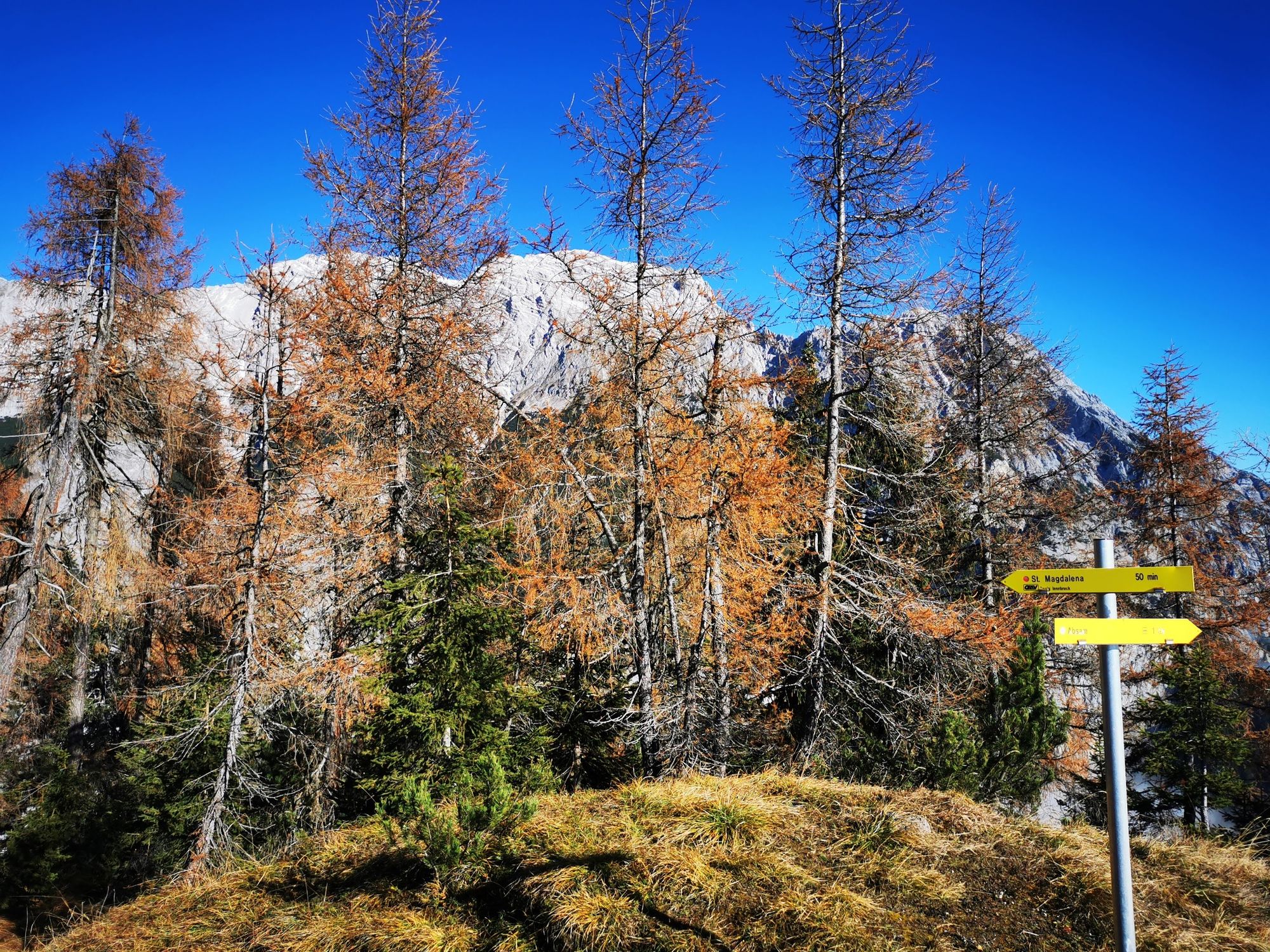
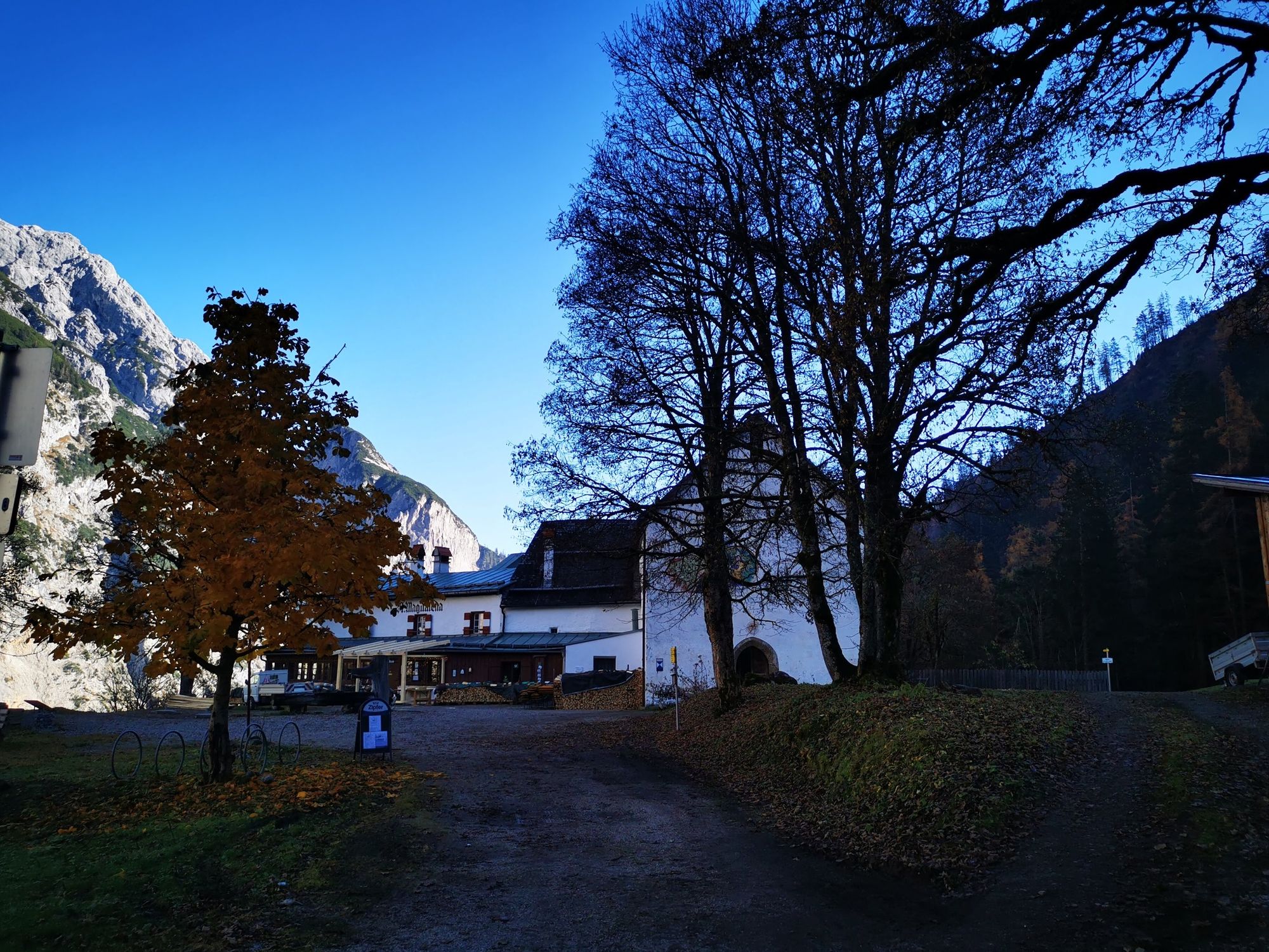
Runstboden1,0 kmPfeiferler2,3 kmRädermacher (1.499 m)2,3 kmHochmahdkopf (1.738 m)2,9 kmJausenstation St. Magdalena (1.287 m)4,6 kmKohlanger4,9 kmJakobibründlquelle5,9 kmBergerkapelle7,0 km
- Bedste sæson
-
janfebmaraprmajjunjulaugsepoktnovdec
- Højeste punkt
- 1.716 m
- Destination
-
Absam Halltal
- Højdeprofil
-


-

-
ForfatterRundvisningen On the panoramic Hochmahdkopf bruges af outdooractive.com forudsat.
GPS Downloads


Generel information
Forfriskningsstop
Insider-tip
Lovende
Flere ture i regionerne
-
Ferienregion Hall - Wattens
1477
-
Absam
344