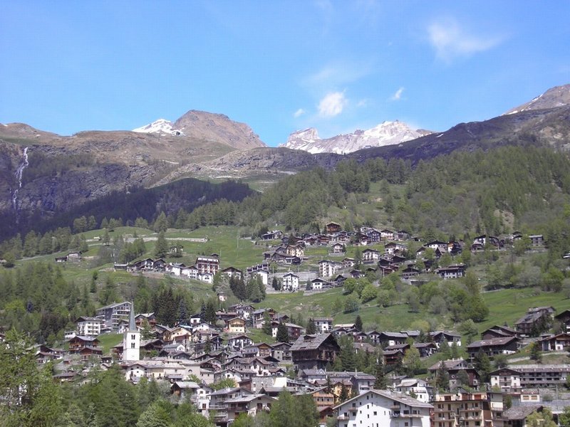
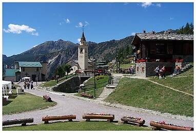
The town is located at an altitude of 1524 metres; here were born the most famous Matterhorn Guides, whose memory is found in a plaque placed in the main square of the town.
The inhabited area is scattered in the beautiful basin overlooking the valley floor, among vast pastures and coniferous woods.
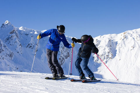
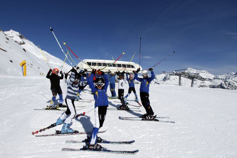
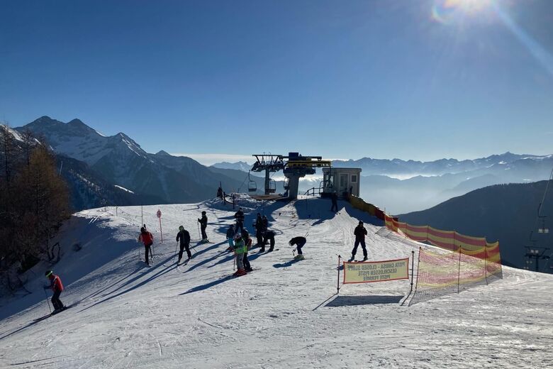
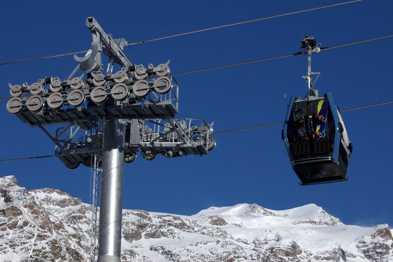
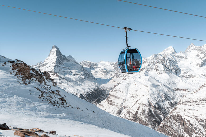
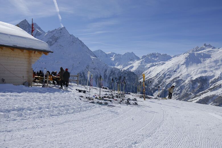
The ski area has 45 km of slopes and is also connected to Breuil-Cervinia, which can be accessed with...
The town is located at an altitude of 1524 metres; here were born the most famous Matterhorn Guides, whose memory is found in a plaque placed in the main square of the town.
The inhabited area is scattered in the beautiful basin overlooking the valley floor, among vast pastures and coniferous woods.
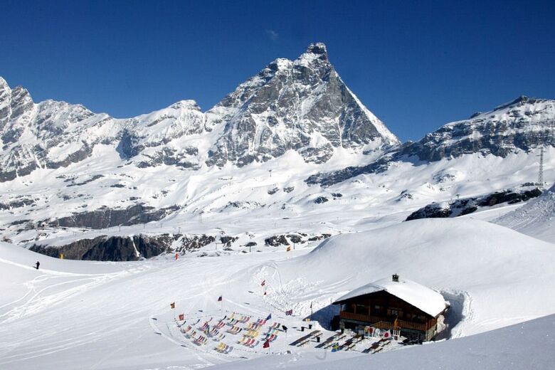
The ski area has 45 km of slopes and is also connected to Breuil-Cervinia, which can be accessed with skis on.
In the Middle Ages it belonged to the Lords of Cly, to then pass to the Savoys.
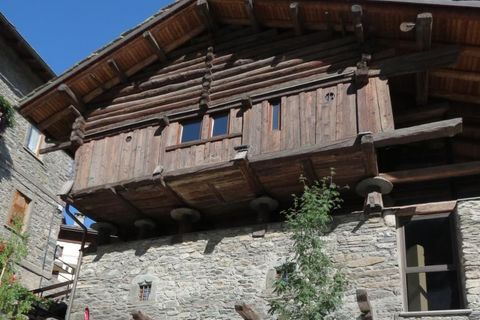
The tourist development of the town is linked to the history of mountaineering and started towards the end of the last century with the opening of the carriage road; even previously, however, mountaineers and scholars reached the village on foot or on the back of a mule.
The parish church of Sant'Antonio, whose bell tower stands out over the entire landscape, was rebuilt in 1856 on a 15th century building.
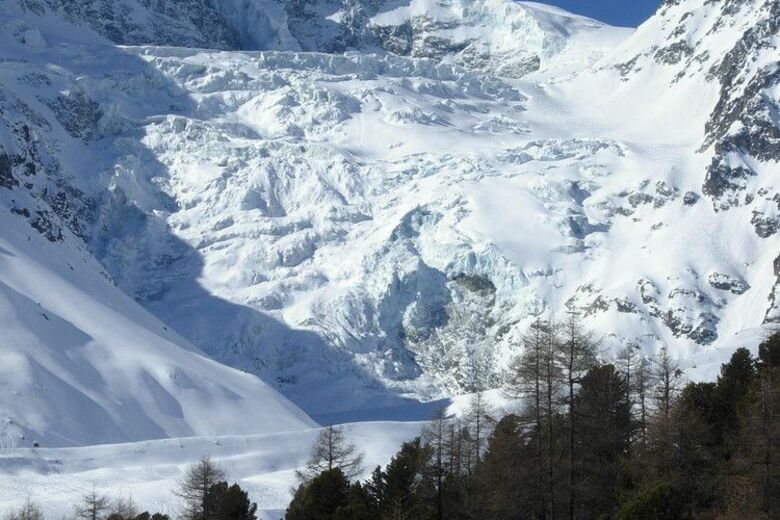
During the summer there are numerous walks and excursions that can be made: the trip to Cheneil is not particularly difficult, from where you can have a splendid view of Valtournenche and the Matterhorn, in a particularly suggestive natural context, among thick woods, rhododendrons and flowery pastures. "Le Gouffre des Busserailles" are another popular excursion destination. It is a ravine 35 meters deep and more than 100 long, dug into the rock over time by the waters of the Marmore stream, which here makes a jump of over 10 meters.
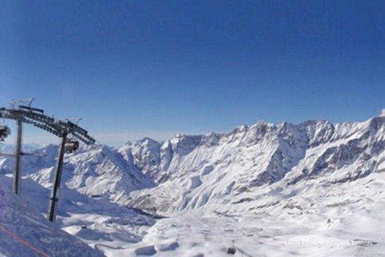
For ski lovers, the municipality of Valtournenche, under the picturesque chain of the Grandes Murailles, has a vast area between Monte Roisetta and Gran Sometta, with magnificent views of the Matterhorn. The connection with the Breuil-Cervinia and Zermatt ski areas via the new Sometta chairlift starts at the 2982 meters of the Cime Bianche.
Cross-country skiing is practiced in Champlève with two blue rings of 1 and 3 km and a red one of 2 km
Text: www.regione.vda.it
Kontakt os


Vandring og sporing


Gå ikke glip af tilbud og inspiration til din næste ferie
Din e-mailadresse er blevet tilføjet til mailinglisten.