


Sværhedsgrad: 3


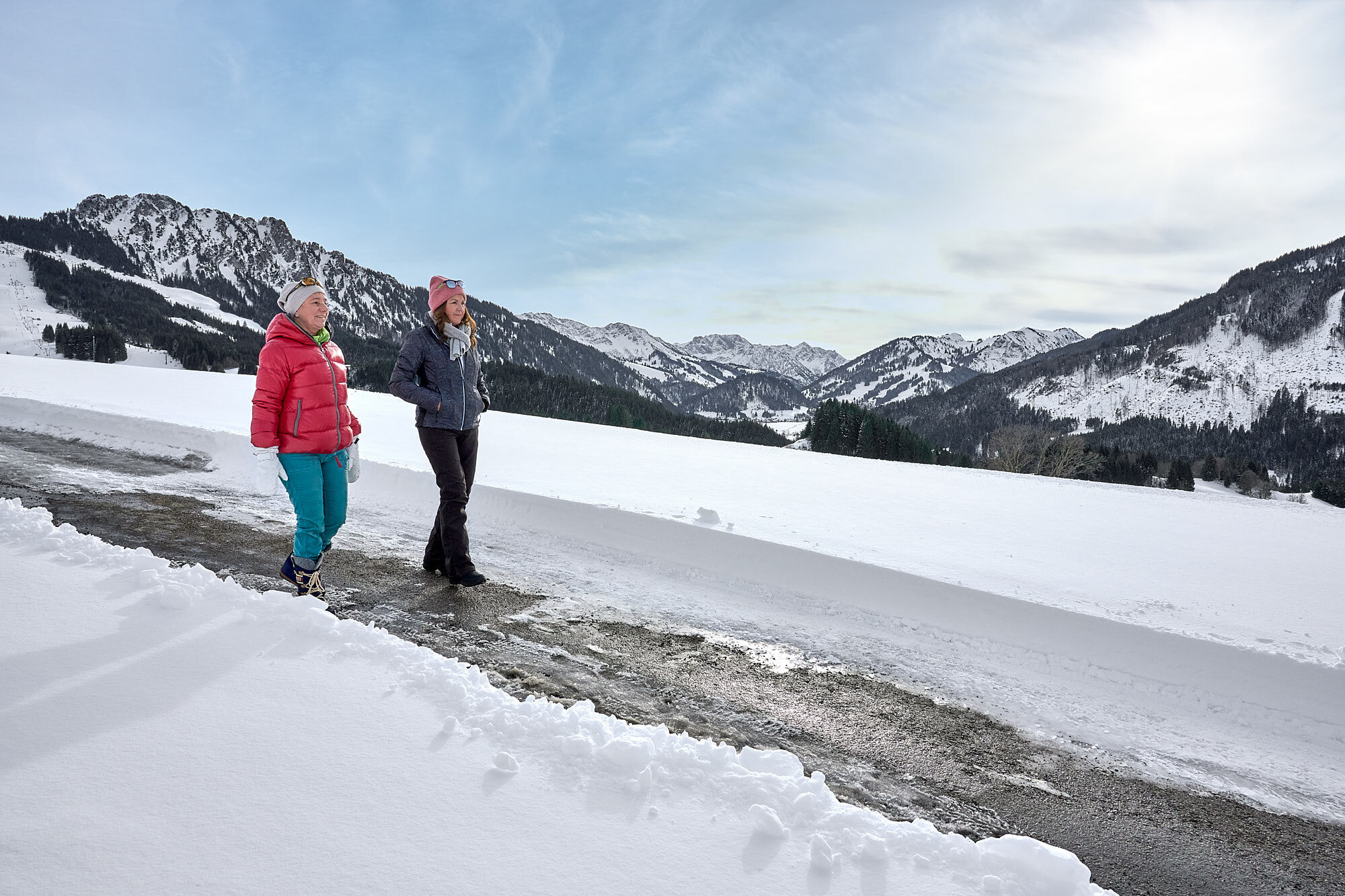
It doesn't always have to be skiing, snowboarding, or cross-country skiing. On nearly 81 kilometers of cleared paths, hikers stroll through the snowy fairytale landscape. Cosy huts invite you to stop by...
It doesn't always have to be skiing, snowboarding, or cross-country skiing. On nearly 81 kilometers of cleared paths, hikers stroll through the snowy fairytale landscape. Cosy huts invite you to stop by along the way. Sitting by the fireplace, warming up with a Jaga tea, or strengthening yourself with a snack for the next kilometers – this is how you can fully enjoy snow walks.
Along the approximately 81 kilometers of cleared hiking trails, there is so much to discover and see, so much fresh air to breathe, that every step becomes a pleasure – with numerous inns and cafés along the routes offering ample opportunities to refresh and warm up. Those wanting a special experience can join guided snowshoe hikes. Those looking to go high have two options in the Tannheimer Tal to summit even in winter: Neunerköpfle in Tannheim with the largest summit book in the Alps or the Gamskopf with the Panorama-Informator in Grän.

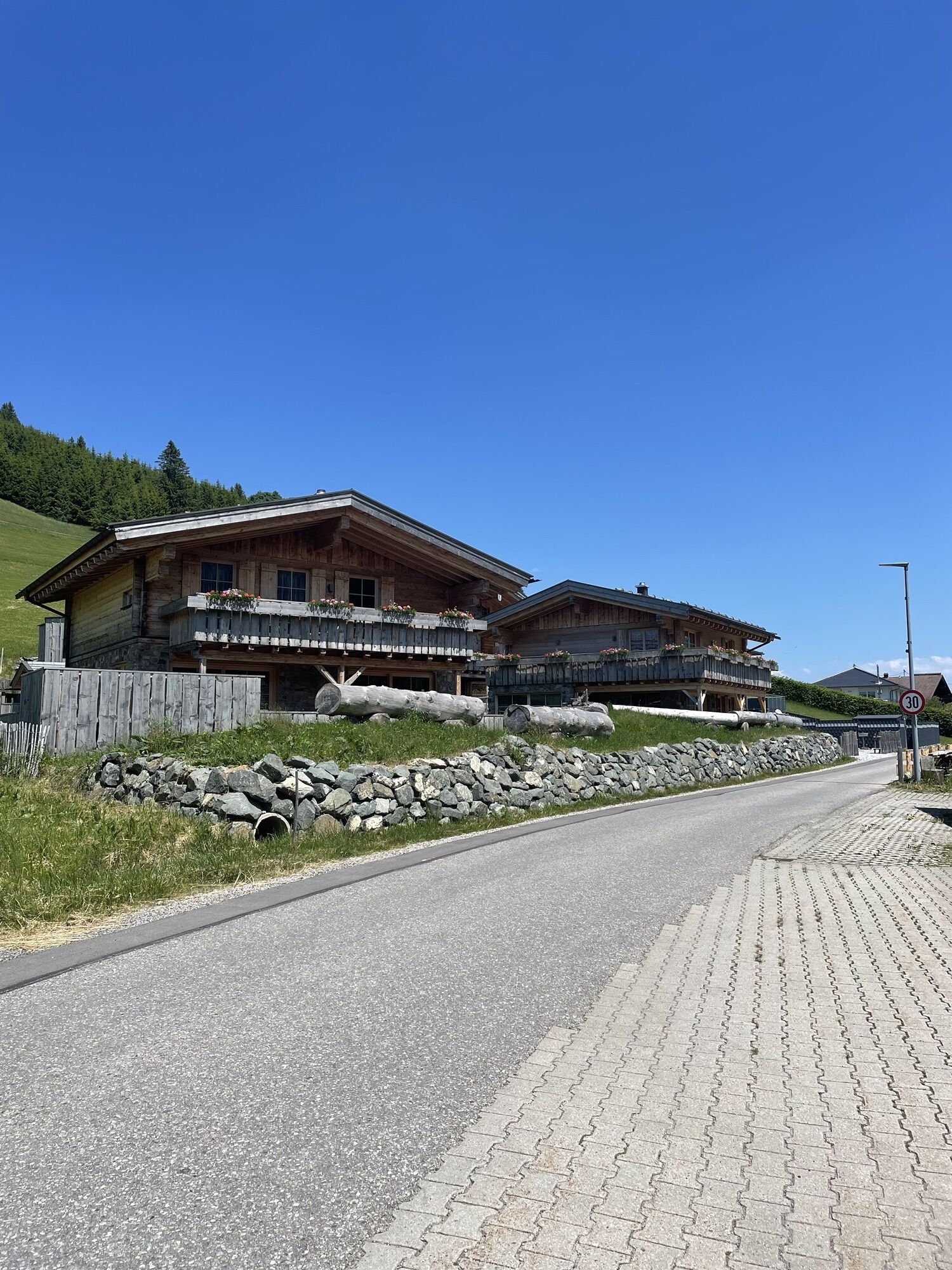
The hike begins in the town center and leads along the Mühlbach stream towards the Langenschwand district. There, you cross the street and follow a drive that leads up to the Höhenweg (panorama route). This path offers impressive views of the surrounding landscape and first ascends above Jungholz. The route then slopes gently downwards past the idyllic moor pond, which is particularly charming in the winter silence. It continues into the Gießenschwand district, from where you return to the town center via the drive. The hike combines nature experiences with beautiful views and ends again in the heart of the town.
Ja
Modern and well-maintained equipment (shoes, poles, and clothing) not only provides a significant level of safety but also greatly facilitates winter hiking. Sun protection (high factor and possibly sunglasses) as well as sufficient fluids should not be forgotten.
It should be noted that winter hiking also involves an increased risk of accidents and injuries. Especially in winter, special attention should be paid to the condition of the paths. Suitable clothing, good footwear, and possibly hiking poles provide additional safety. Stay on the marked paths.
On the A7 motorway at the "Oy-Mittelberg" exit onto the B310 towards Wertach and Oberjoch. At the "Jungholz" signpost, turn left towards Jungholz to the parking lots at the Jungholz ski lifts.
From the Tyrol side via Reutte on the B198 towards Lechtal to Weißenbach, over the Gaicht Pass along the B199 through the Tannheimer Tal to Oberjoch. There turn right towards Wertach and at the "Jungholz" signpost turn right towards Jungholz to the parking lots at the Jungholz ski lifts.
By train to Sonthofen, Oy, or Reutte, then by bus to Jungholz.
At the ski lift parking lots - free of charge
3
Hiking along the letter path.
Populære ture i området
-
4.3
Höllschlucht hike » Water & Forest
MediumVandring 7.38 km -
4.2
Three-lake route (awarded the Tyrolean Hiking Trail Seal of Quality)
MediumVandring 14.8 km -
4.6
3-Seen Rundtour Vilsalpsee / Schrecksee / Traualpsee
MediumVandring 17.1 km -
4.4
Wanderung auf den grünten
MediumVandring 8.31 km -
4.8
3-Gipfel-Tour
MediumVandring 11.2 km -
4.5
Mountain hike to the Aggenstein
tungVandring 15.3 km -
4.0
From Tannheim to the Sulzspitze
MediumVandring 15.6 km -
4.8
Around Weißensee
lysVandring 6.12 km -
5.0
Hiking tour to Breitenberg
tungVandring 15.6 km -
5.0
Gemeinde Grän, Tirol/Österreich Aggenstein Rundtour über Höhenweg
MediumVandring 9.84 km

Vandring og sporing


Gå ikke glip af tilbud og inspiration til din næste ferie
Din e-mailadresse er blevet tilføjet til mailinglisten.