


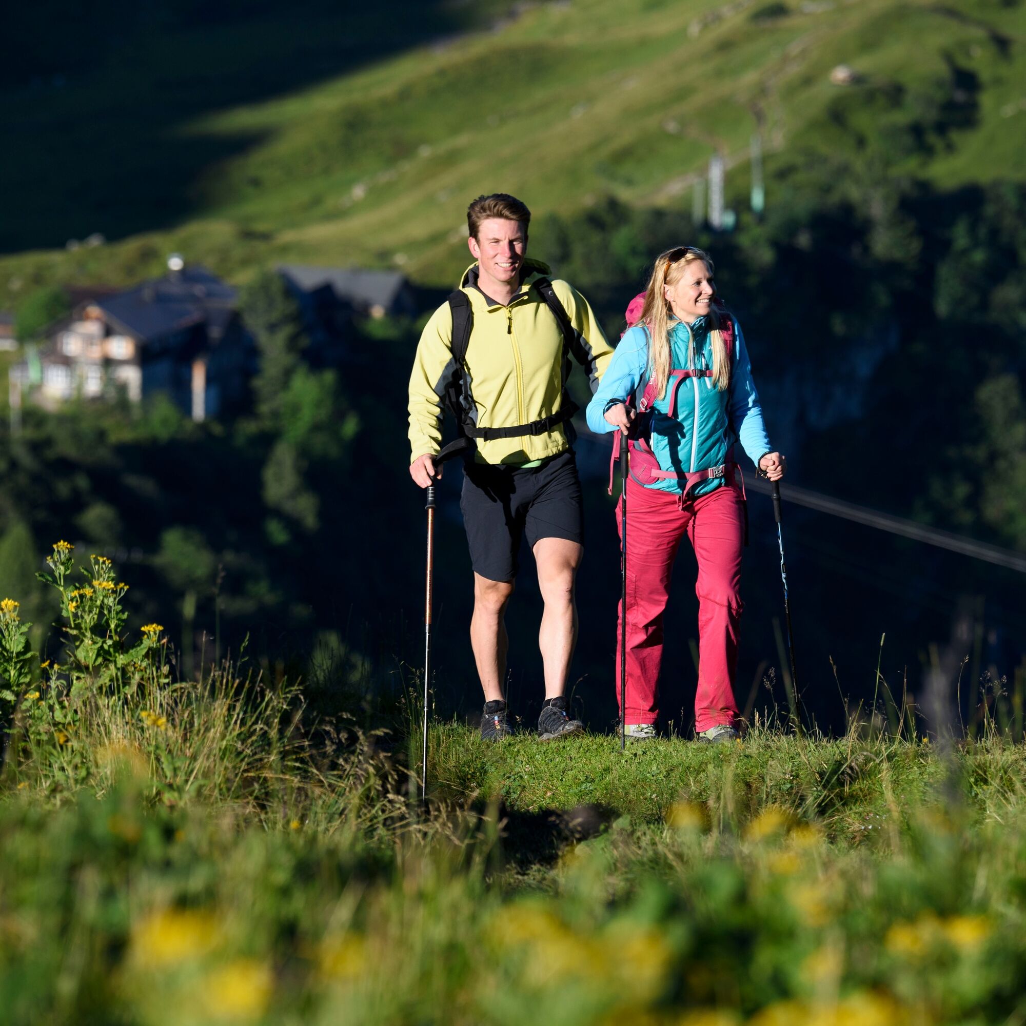
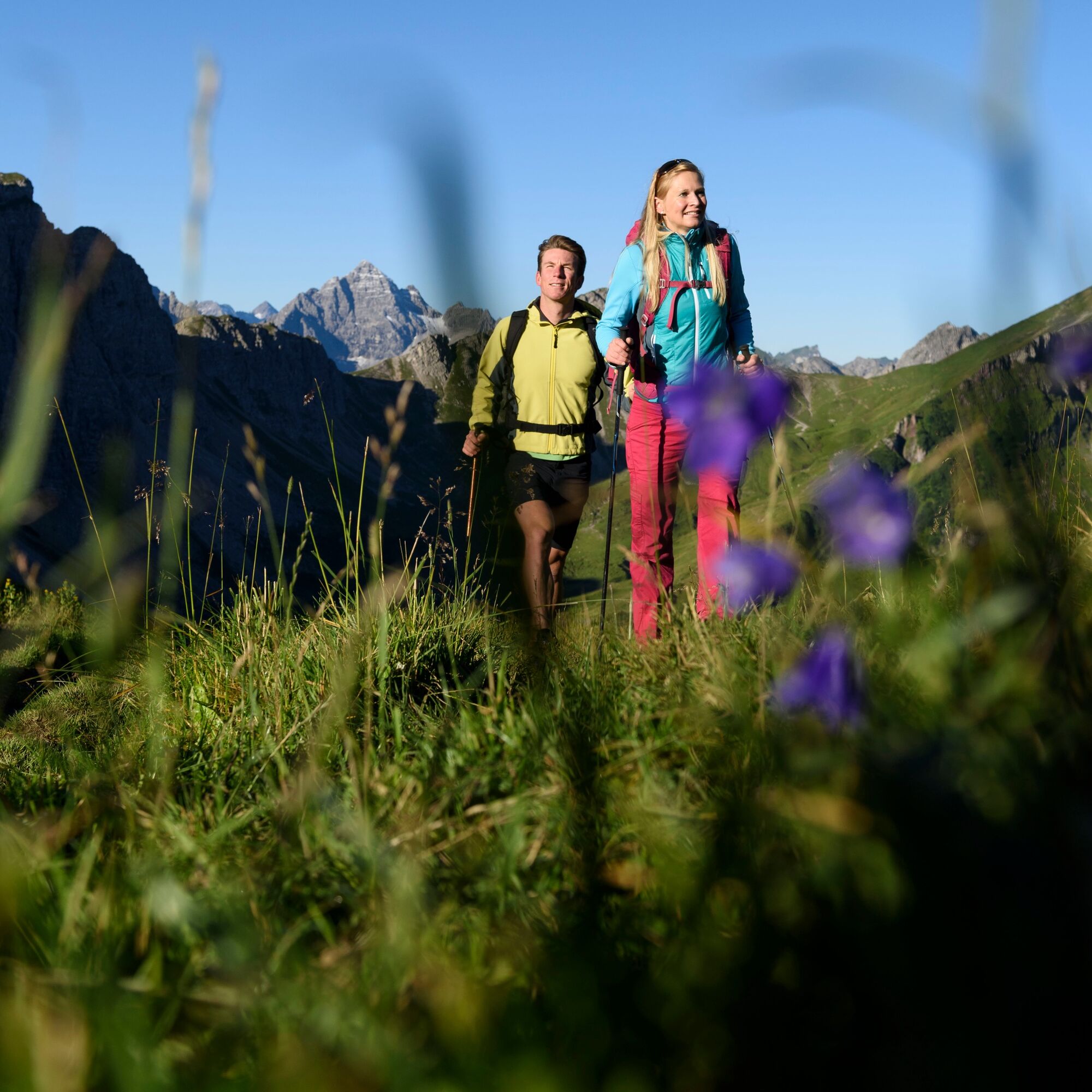
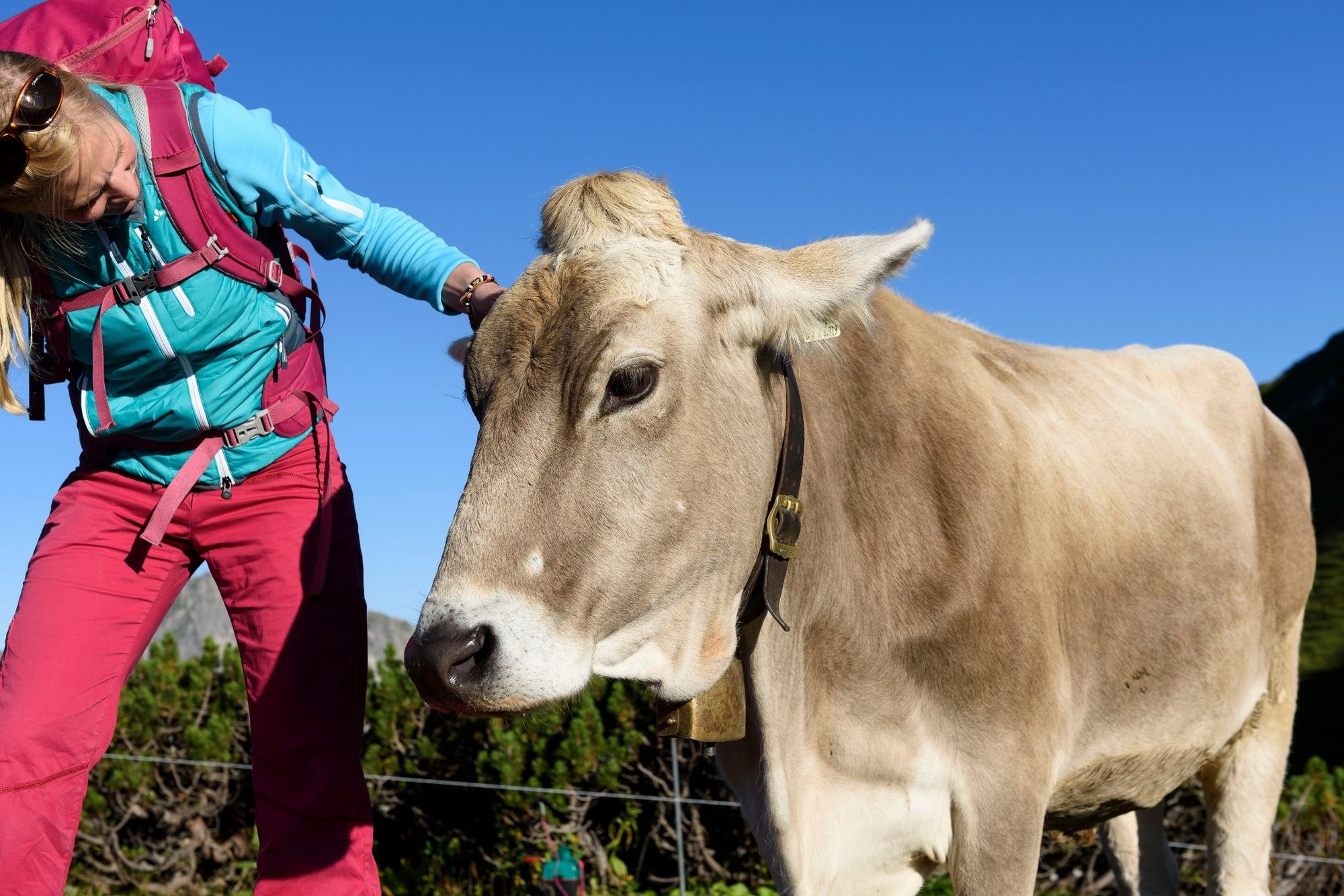
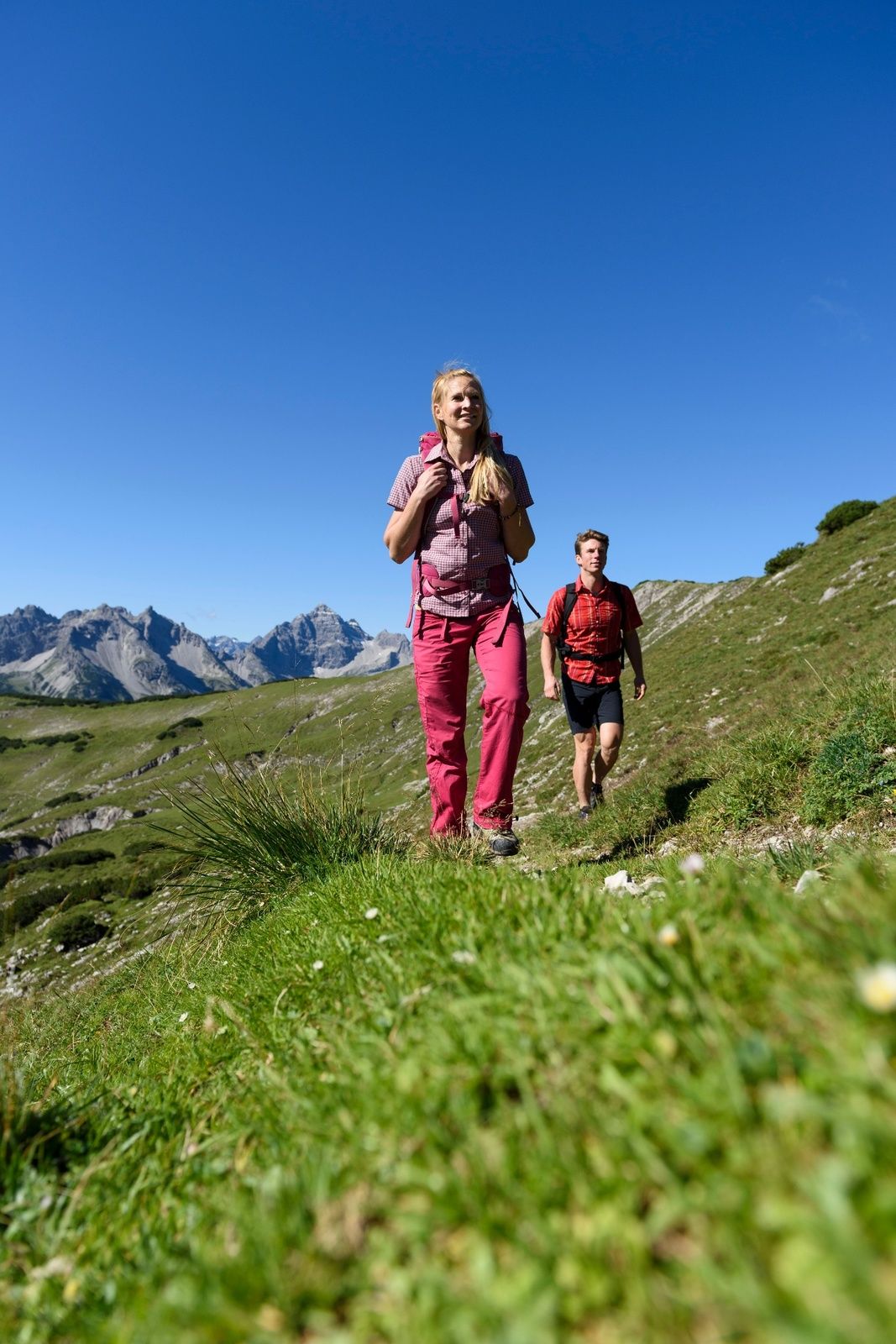
A somewhat longer pleasure route through the beautiful Birkental. This route is not overcrowded; here you can switch off and enjoy the peace. Let yourself be impressed by the wonderful impressions.

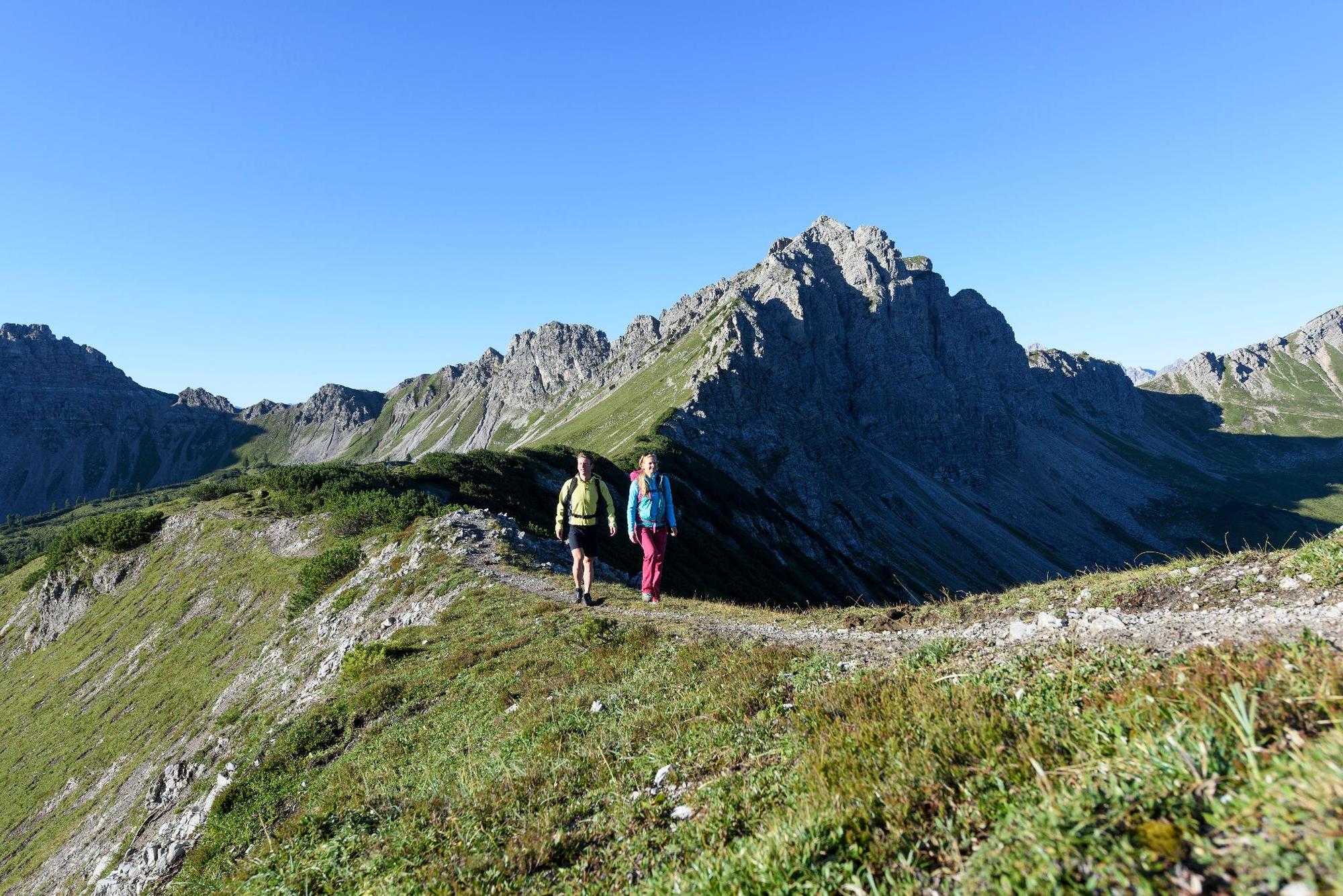

From the parking lot towards Nesselwängle to the underpass. After the underpass, turn left, parallel to the road and follow the signs to Rauth and into the Birkental. On the Dillinger path (long exposed and rope-secured sections at the beginning of the Dillinger path) it passes huts (Höflishütte and Birkentaler Jägerhütte), crossing streams and across pasture areas up to the Lachenjoch. Wonderful view of the Lache and the Landsberger hut. From the Lachenjoch, turn right on the Saalfelder Höhenweg to the Ziegerstein and continue under the Schochenspitze towards the Gappenfelder Alm. Past the Sulzspitze, over the Strindenscharte into the Strindental. The Strindenalm and Edenbachalm are still on the way before continuing to the Haldensee. Back in the valley, we turn sharply right. On the left side of the path is the outdoor pool at the Haldensee, inviting you to swim or take one last short break. Continue on the gravel road along the Haldensee. Shortly before Nesselwängle there is a small ascent through the forest, then it only goes downhill, first to the lifts of Nesselwängle and then back to our starting point, the parking lot at the lift at the east end of Nesselwängle.
Ja
Personal mountain sports equipment must be safe and functional and meet the respective technical standard. Every hiker is advised to inform themselves about the planned tours in alpine specialist literature or on site.
It should be noted that mountain sports can carry an increased risk of accidents and injuries. Despite careful route planning, there is always a basic risk. Preparing for the tour through endurance training, appropriate technical training and education as well as personal caution reduces the risk of accidents and hazards. But never forget that the weather in the mountains can change very quickly. Stay on the marked hiking paths.
On the A7 motorway at the "Oy-Mittelberg" exit on the B310 towards Wertach and then to Oberjoch. There follow the signs "Tannheimer Tal" B199, exit Nesselwängle to the district Rauth, parking lot Nesselwängle East.
From the Tyrol side via Reutte on the B198 towards Lechtal to Weißenbach, over the Gaichtpass along the B199 to the exit Nesselwängle to the district Rauth, parking lot Nesselwängle East.
By train to Sonthofen, Pfronten/Ried or Reutte, then by bus to Nesselwängle. Bus stop Krinnenalplift.
You can park in the Krinnenalplift parking lot, paid.
Tourismusverband Tannheimer Tal
Strindenalm
Edenbachalm
Gappenfeldalpe
Very beautiful day route with several places to stop for refreshments. High level of experience.
Webkameraer på turen
-
Tannheim
-
Neunerköpfle Mittelstation
-
Haldensee - Neunerköpfle
-
Wängle - Panoramahotel Talhof
-
Weißenbach - Hotel Florence
-
Grän - Almdorf Tirol
-
Neunerköpfle Mittelstation
-
Neunerköpfle Mittelstation
-
Neunerköpfle Mittelstation
-
Neunerköpfle Mittelstation
-
Neunerköpfle Mittelstation
-
Neunerköpfle Mittelstation
-
Neunerköpfle Mittelstation
-
Panoramarestaurant Hahnenkamm
-
Grän - Hotel Bergblick
-
Füssener Jöchle Bergstation
-
Füssener Jöchle Bergstation
-
Füssener Jöchle Bergstation
-
Füssener Jöchle Bergstation
-
Füssener Jöchle Bergstation
-
Füssener Jöchle Bergstation
-
Bergstation Neunerköpfle
-
Tannheimertal
-
Füssener Jöchle Bergstation
-
Füssener Jöchle Bergstation
-
Haller
-
Haller
-
Haller
-
Haller
-
Haller
-
Gundhütte - Tannheimertal
Populære ture i området
-
4.2
Three-lake route (awarded the Tyrolean Hiking Trail Seal of Quality)
MediumVandring 14.8 km -
4.6
3-Seen Rundtour Vilsalpsee / Schrecksee / Traualpsee
MediumVandring 17.1 km -
4.9
3-Gipfel-Tour
MediumVandring 11.2 km -
4.6
Mountain hike to the Aggenstein
tungVandring 15.3 km -
4.8
Around Weißensee
lysVandring 6.12 km -
5.0
Hiking tour to Breitenberg
tungVandring 15.6 km -
4.8
To the Bad Kissinger Hut via the Gräner Höhenweg
MediumVandring 13.0 km -
3.8
From Tannheim to Sulzspitze
MediumVandring 15.6 km -
4.7
Bad Hindelang, Hinterstein, Deutschland
MediumVandring 14.1 km -
5.0
Gemeinde Grän, Tirol/Österreich Aggenstein Rundtour über Höhenweg
MediumVandring 9.84 km
Vandring og sporing


Gå ikke glip af tilbud og inspiration til din næste ferie
Din e-mailadresse er blevet tilføjet til mailinglisten.