


Sværhedsgrad: T2


Billeder af vores brugere
-
 © YakovOprettet den 21.09.2024
 -

 © Doctor MacuseOprettet den 22.06.2024
 -
 © Kathabergfex kathabergfexOprettet den 25.09.2023
 -
 © Thomas StreckerOprettet den 15.08.2025
 -
 © Thomas StreckerOprettet den 15.08.2025
 -
 © Thomas StreckerOprettet den 15.08.2025
 -
 © YakovOprettet den 21.09.2024
 -
 © Doctor MacuseOprettet den 22.06.2024
 -
 © Doctor MacuseOprettet den 22.06.2024
 -
 © Doctor MacuseOprettet den 22.06.2024
 -
 © Kathabergfex kathabergfexOprettet den 25.09.2023


Enjoy a hike in alpine terrain. This multi-day route is a panoramic tour. Along the way, you will encounter countless highlights such as the Geißhorn or the Schrecksee, etc. etc.

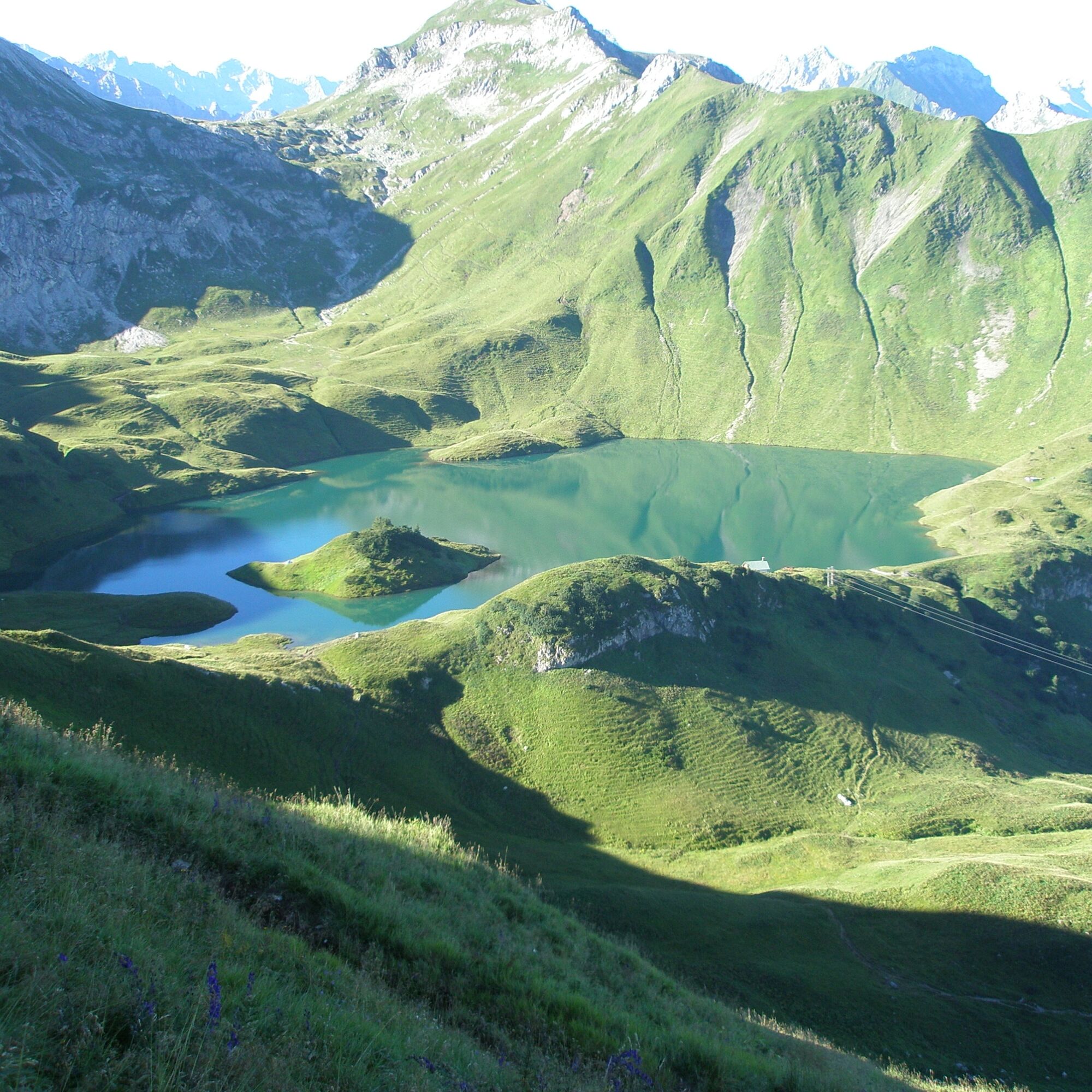
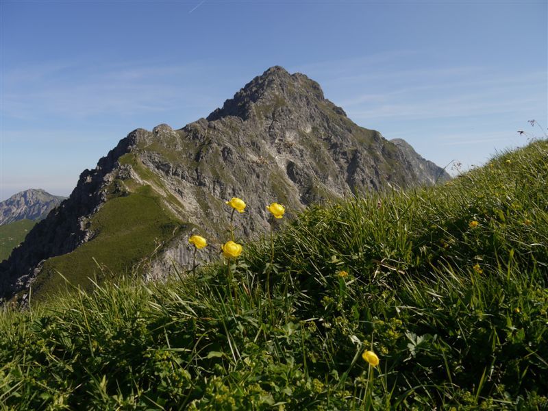
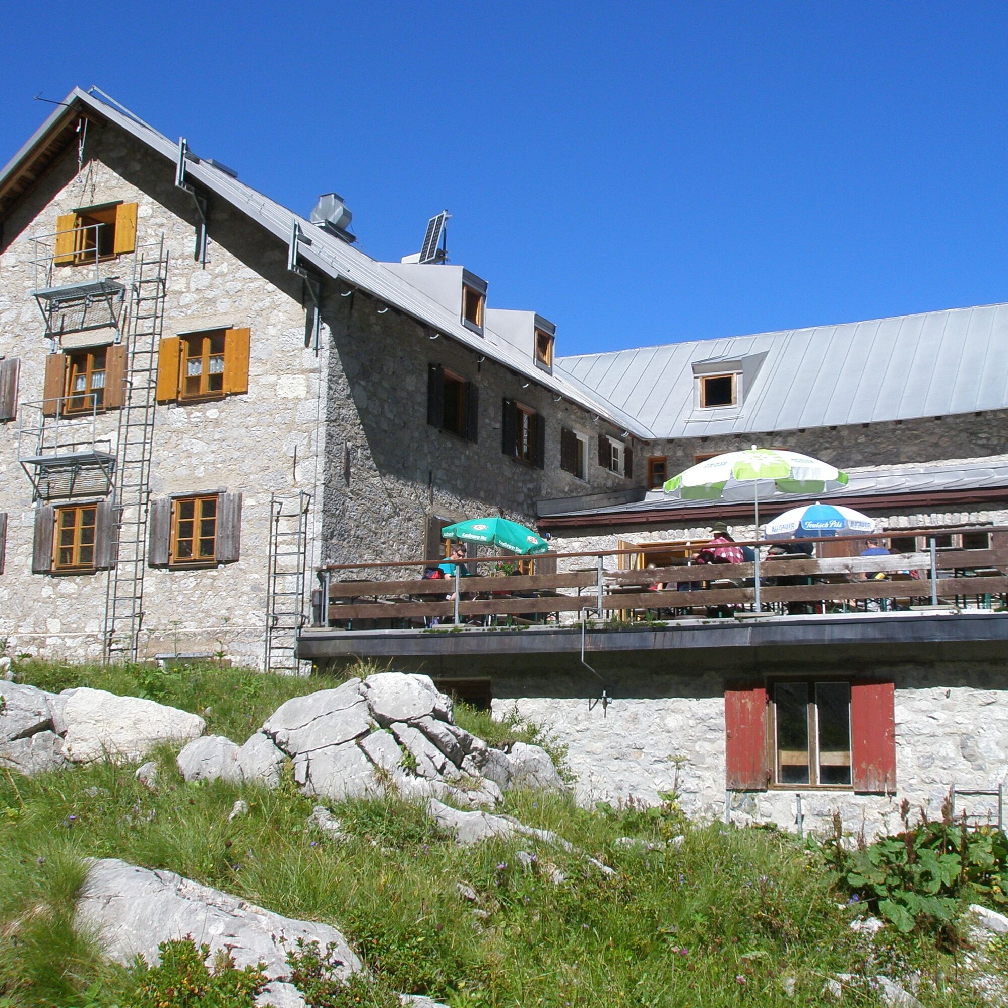
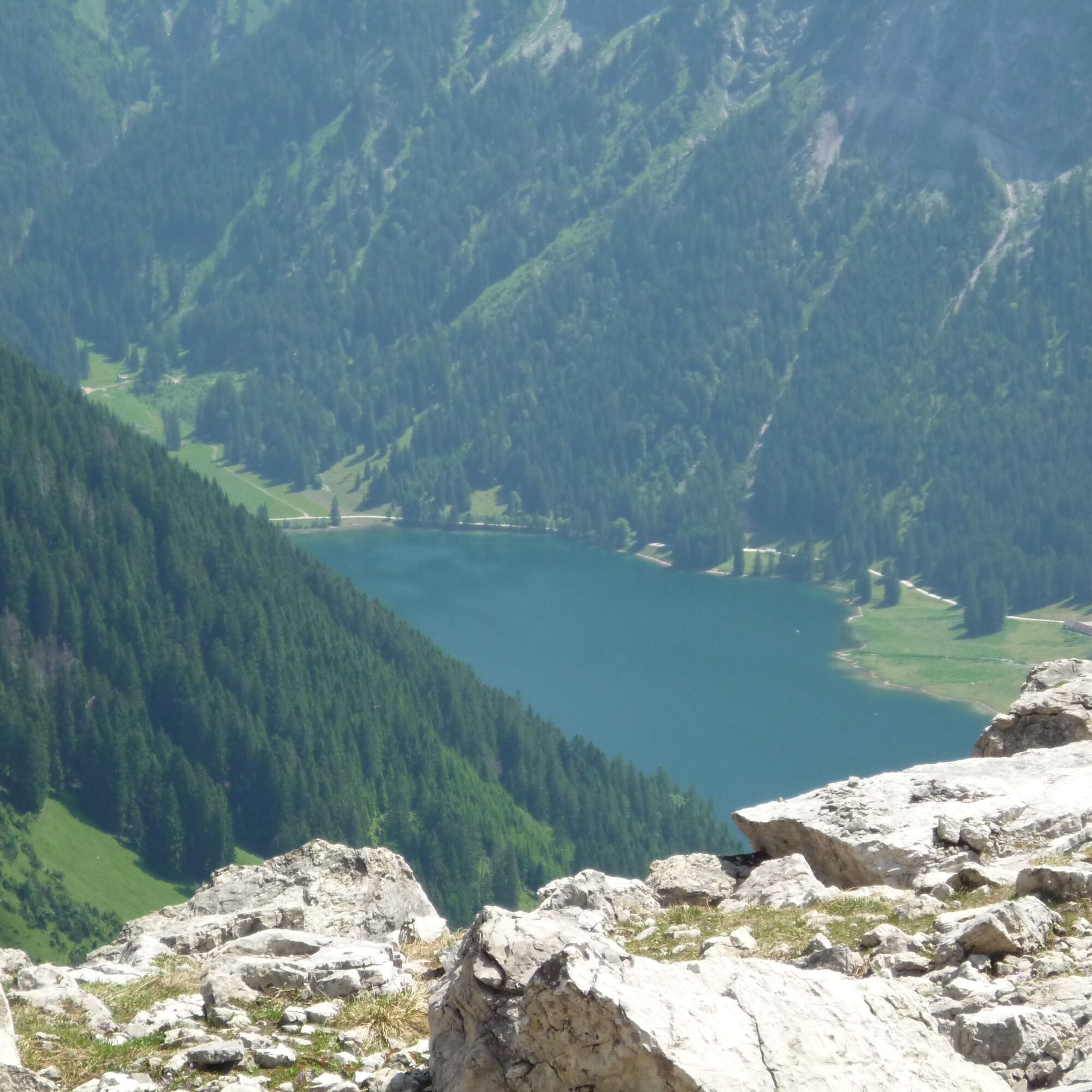
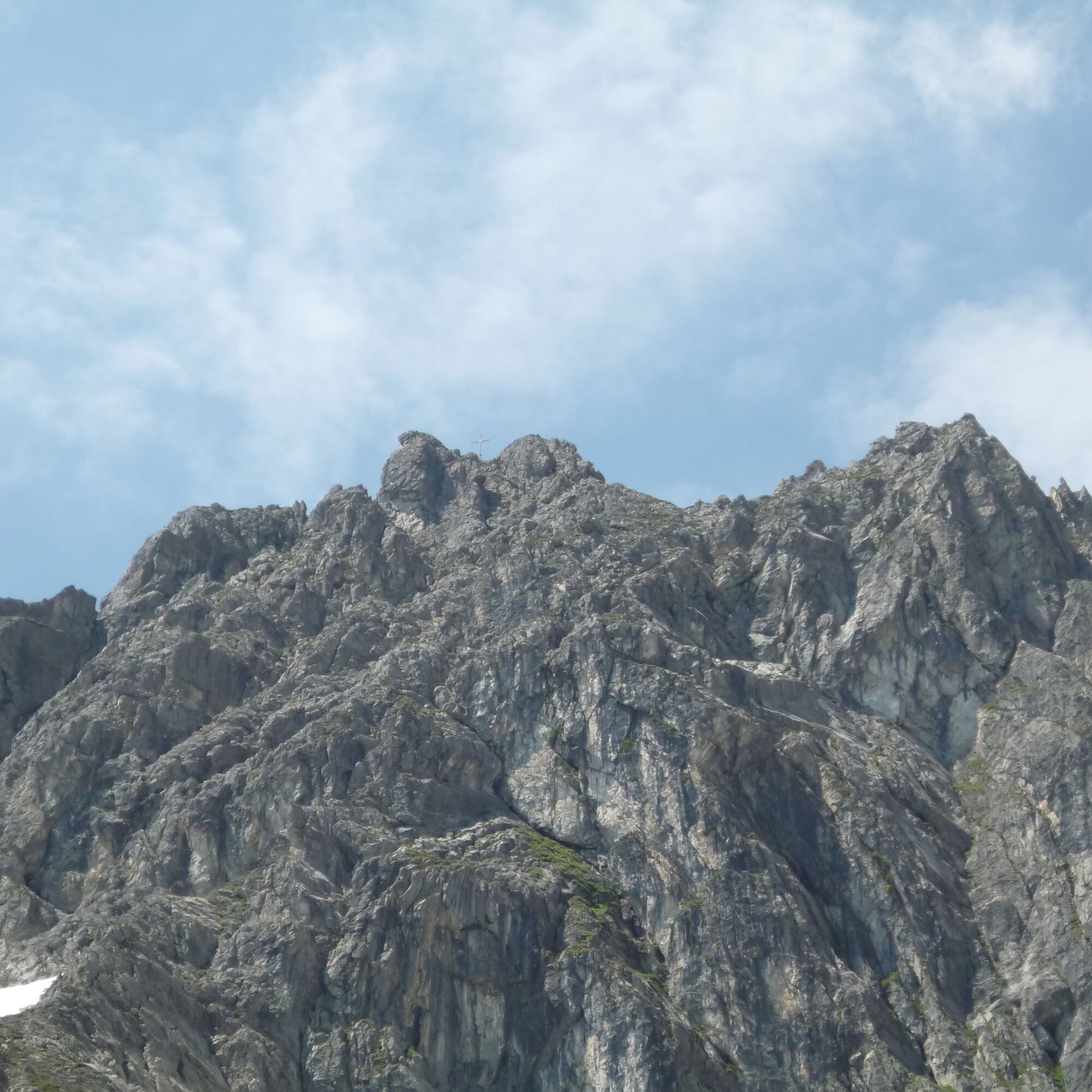
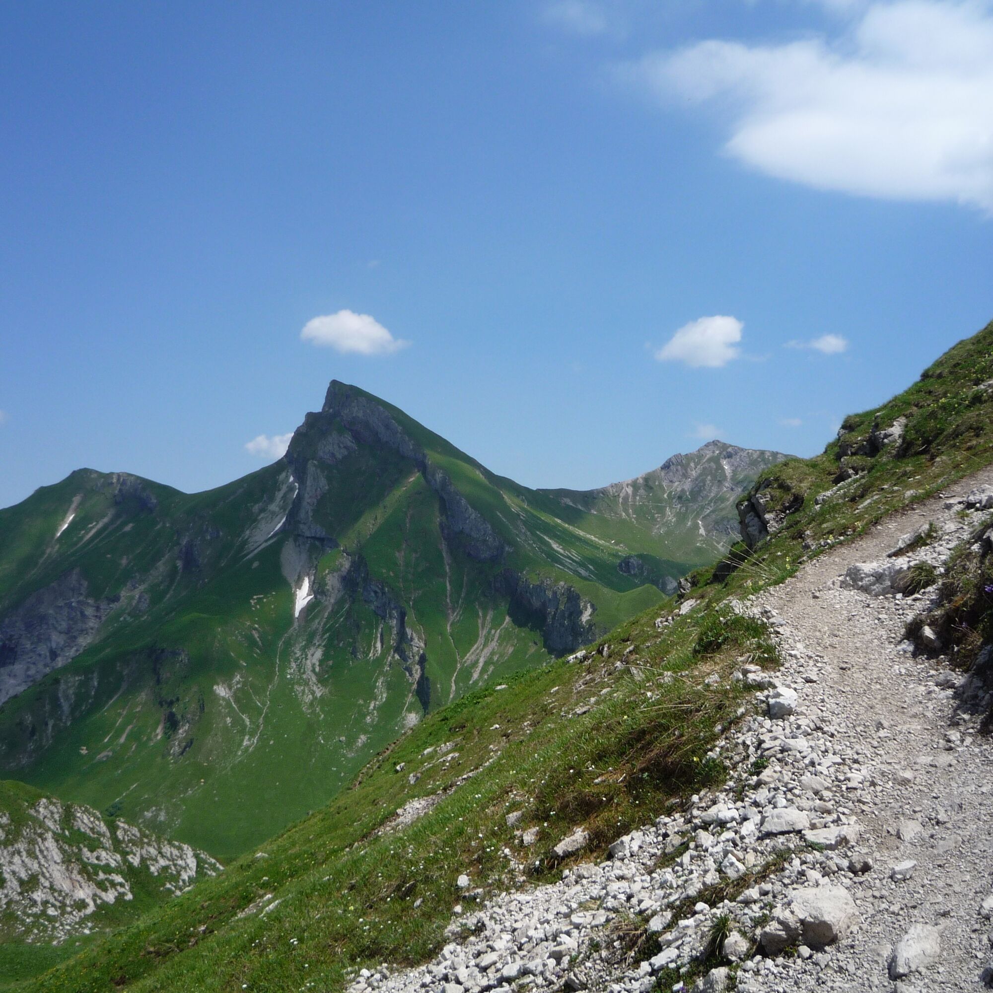
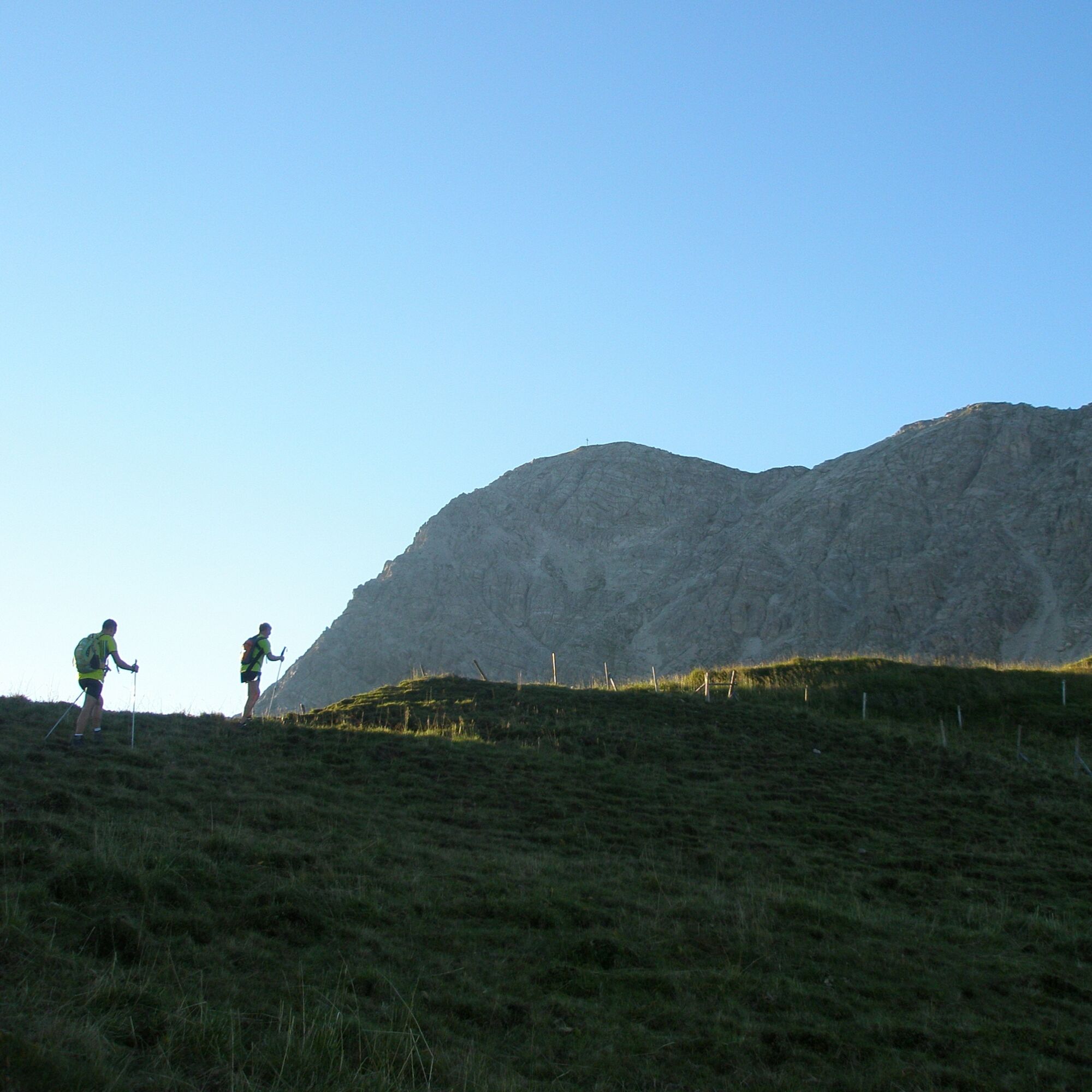
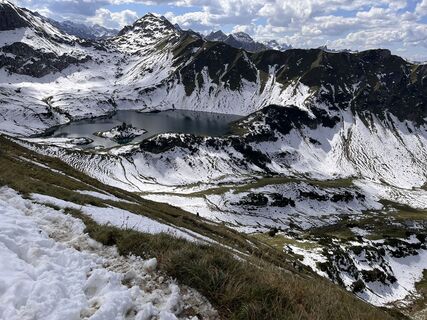
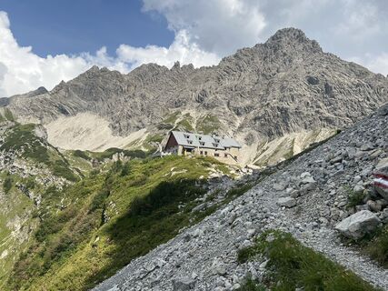
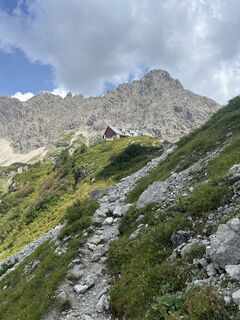
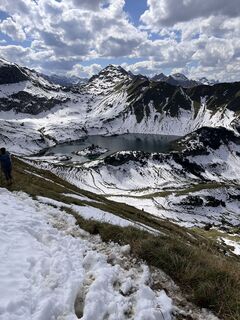
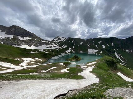
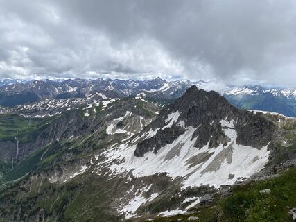
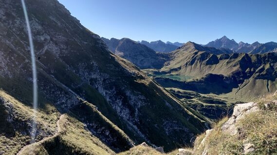
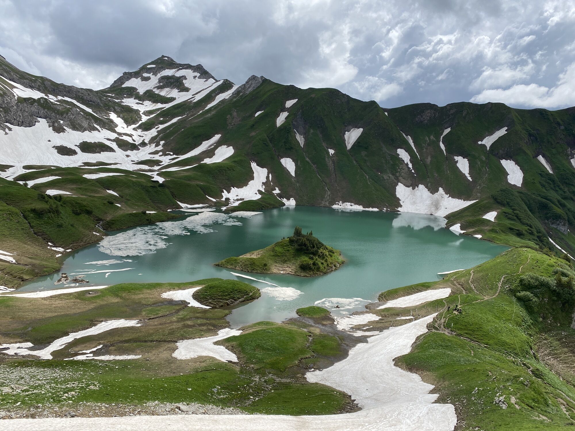
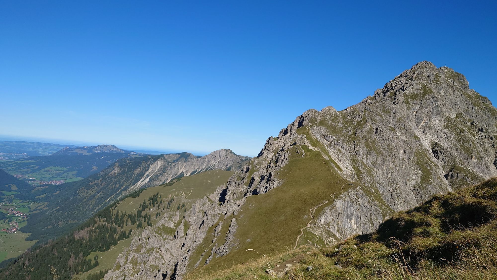
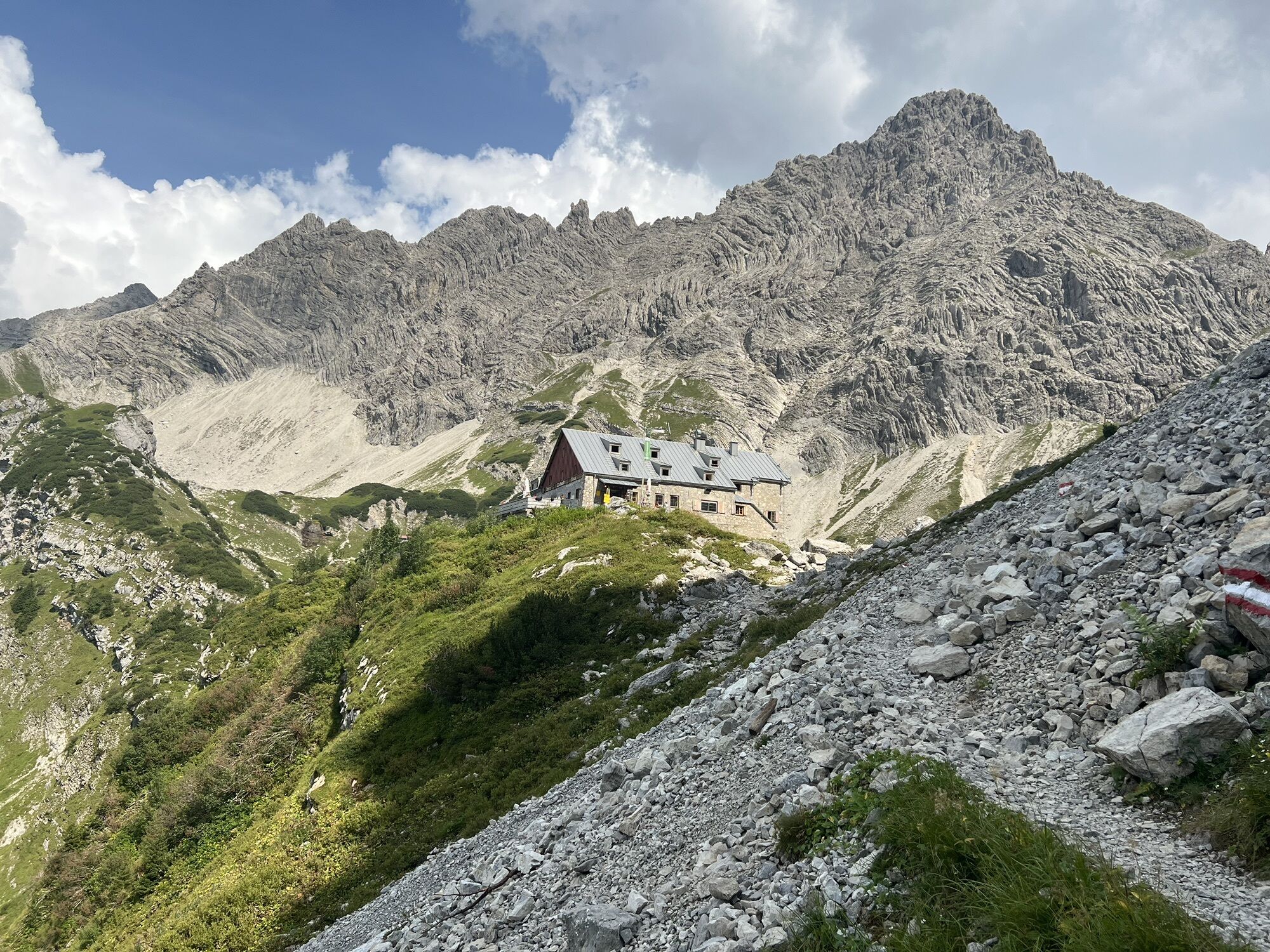
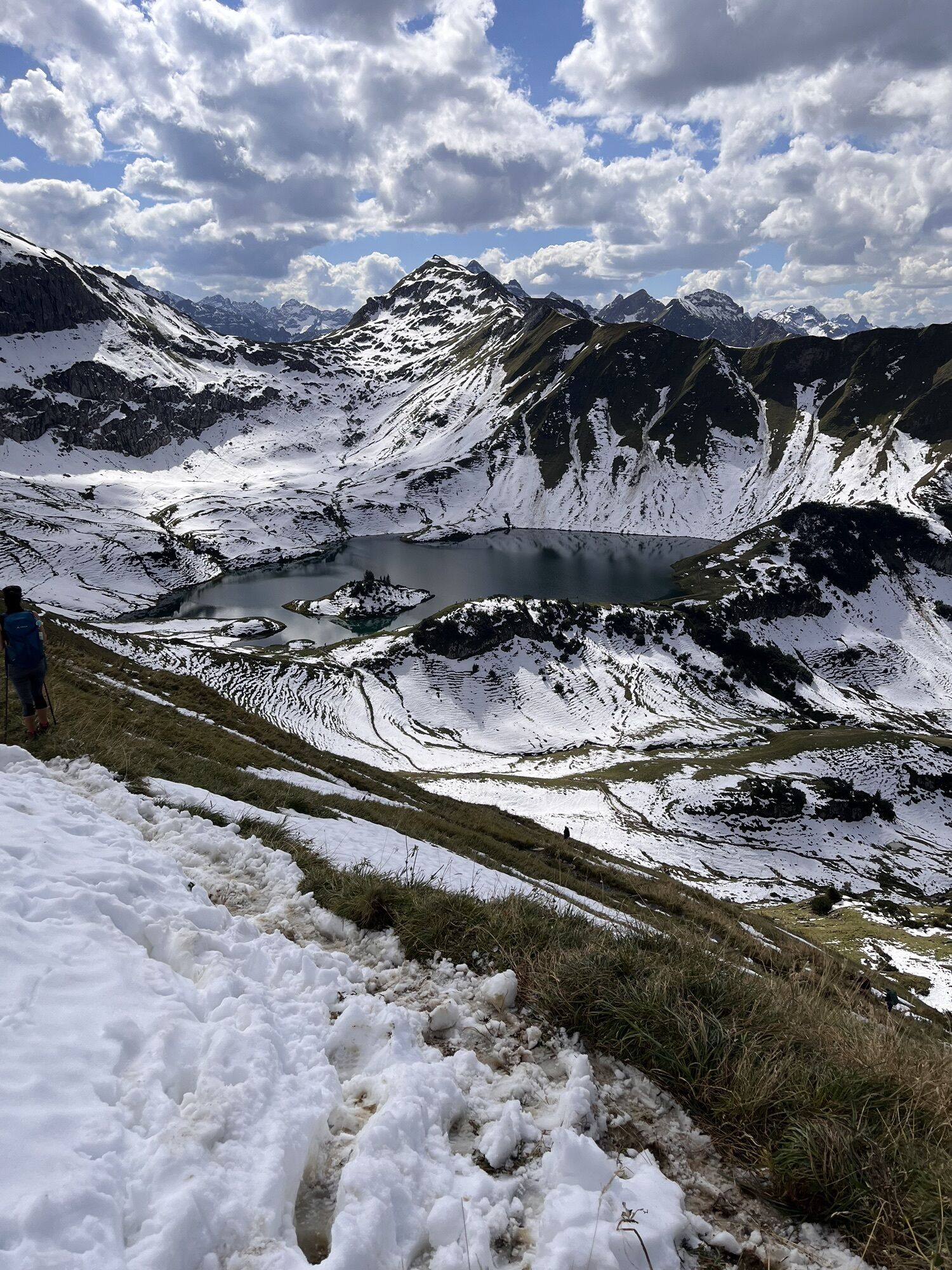
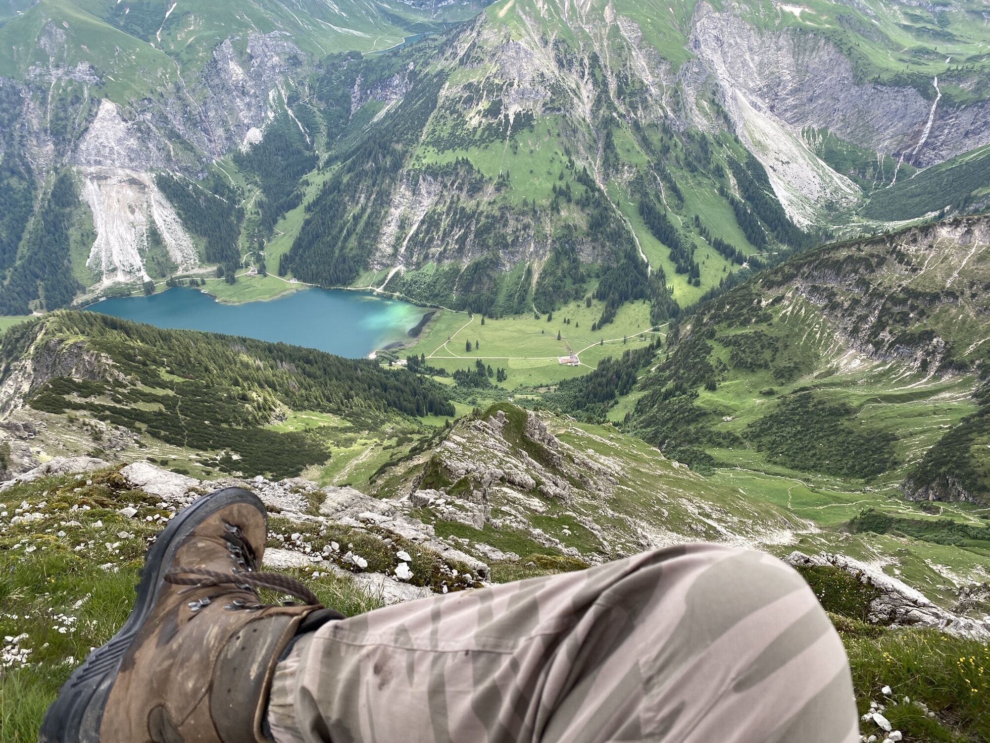
From the lift parking lot in Zöblen, the route goes almost parallel to the ski slope uphill, first into the Pontental and further onto the Zirleseck. Here we already see the Geißhorn, which is the first highlight of the route. After the Geißhorn, the route continues to the Rauhorn, passing the Kugelhorn and the Knappenkopf. At the Kirchdachsattel, it descends to the Schrecksee. This idyllic mountain lake with its island almost invites you to swim. After the ascent to the Schreckenjöchle, the route continues past Schänzlespitze and Schänzlekopf. This leads to the Bockkarscharte below the Kesselspitze. After crossing it, it goes downwards to the Prinz-Luitpold-Haus.
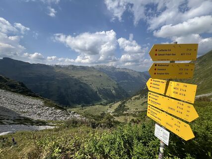
From here, there are several options to continue the hike: a: further to the Landsberger Hut; b: descent into the Hintersteinertal to the Giebelhaus; c: further to Oberstdorf; d: ascent to the Hochvogel and descent to Hinterhornbach.
Ja
Ja
Ja
Personal mountaineering equipment must be safe, usable, and meet the respective technical standards. Every hiker is advised to inform themselves about the planned routes in alpine specialist literature or on site.
It should be noted that mountaineering carries an increased risk of accidents and injuries. Despite careful route planning, a basic risk always remains. Preparation through endurance training, appropriate technical training and education, as well as personal caution, reduce the risk of accidents and dangers. But please never forget that the weather in the mountains can change very quickly. Stay on the marked hiking trails.
On the A7 motorway at the exit "Oy-Mittelberg" onto the B310 towards Wertach and Oberjoch. There follow the signs "Tannheimer Tal" B199, exit Zöblen, lift parking lot Zöblen.
From the Tyrol side via Reutte onto the B198 towards the Lechtal to Weißenbach, over the Gaicht Pass along the B199 to the exit Zöblen, lift parking lot Zöblen.
By train to Sonthofen, Pfronten/Ried or Reutte, then by bus to Zöblen. Bus stop Gemeindeamt.
At the valley station of the Rohnen lifts in Zöblen, paid parking.
T2
Very nice, extended day tour with a lot of variety and some meters of altitude
Populære ture i området
-
4.2
Three-lake route (awarded the Tyrolean Hiking Trail Seal of Quality)
MediumVandring 14.8 km -
4.6
3-Seen Rundtour Vilsalpsee / Schrecksee / Traualpsee
MediumVandring 17.1 km -
4.6
Rubihorn
MediumVandring 9.06 km -
4.9
3-Gipfel-Tour
MediumVandring 11.2 km -
4.6
Mountain hike to the Aggenstein
tungVandring 15.3 km -
5.0
Hiking tour to Breitenberg
tungVandring 15.6 km -
4.8
To the Bad Kissinger Hut via the Gräner Höhenweg
MediumVandring 13.0 km -
4.8
Hindelanger Klettersteig ab Edmund-Probst-Haus + Rückweg
MediumVia ferrata 10.7 km -
4.6
Entschenkopf
tungVandring 12.3 km -
3.8
From Tannheim to Sulzspitze
MediumVandring 15.6 km
Vandring og sporing


Gå ikke glip af tilbud og inspiration til din næste ferie
Din e-mailadresse er blevet tilføjet til mailinglisten.