


Sværhedsgrad: T1


On the well-maintained forest path, you can walk leisurely from Nesselwängle via the Krinnenalpe to Rauth and finally on the circular hiking trail back to Nesselwängle to the valley station of the Krinnenalp...
On the well-maintained forest path, you can walk leisurely from Nesselwängle via the Krinnenalpe to Rauth and finally on the circular hiking trail back to Nesselwängle to the valley station of the Krinnenalp lift.
If you would like to shorten the tour a little, you can enjoy the ascent with the 2-seater chairlift and/or take the bus from Rauth back to Nesselwängle.

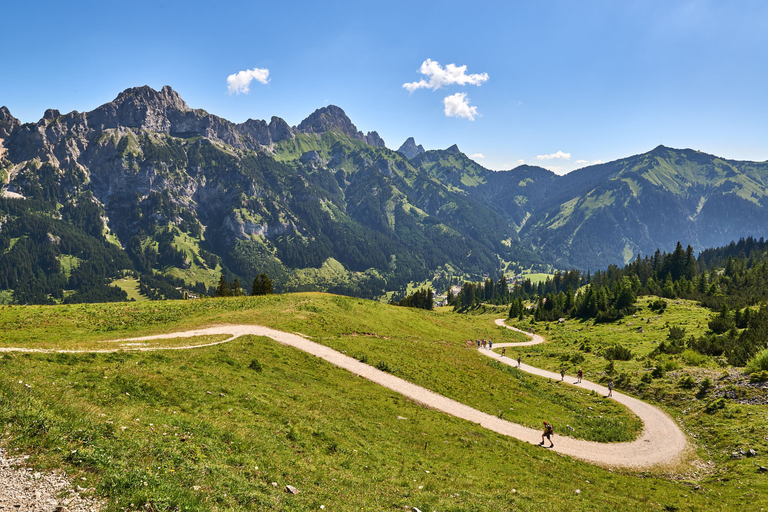
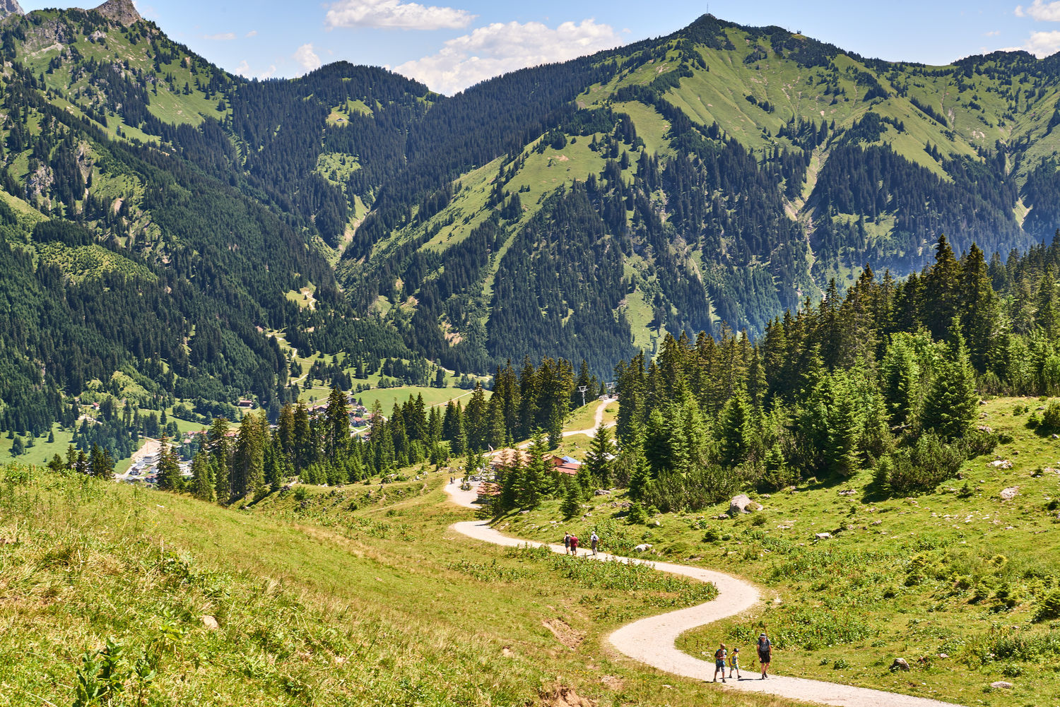
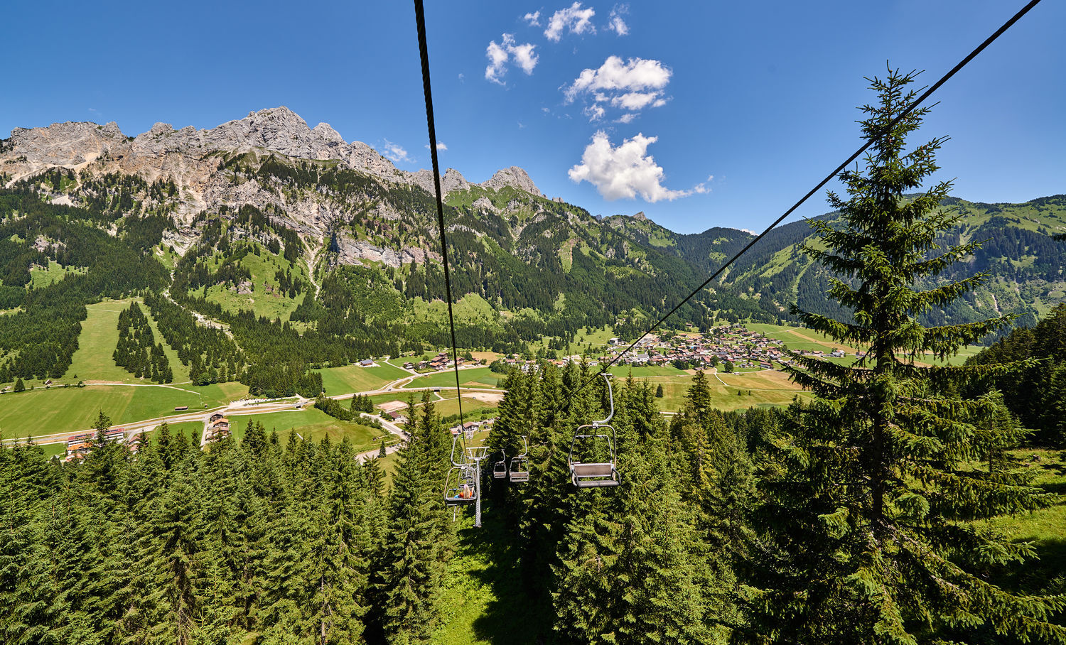
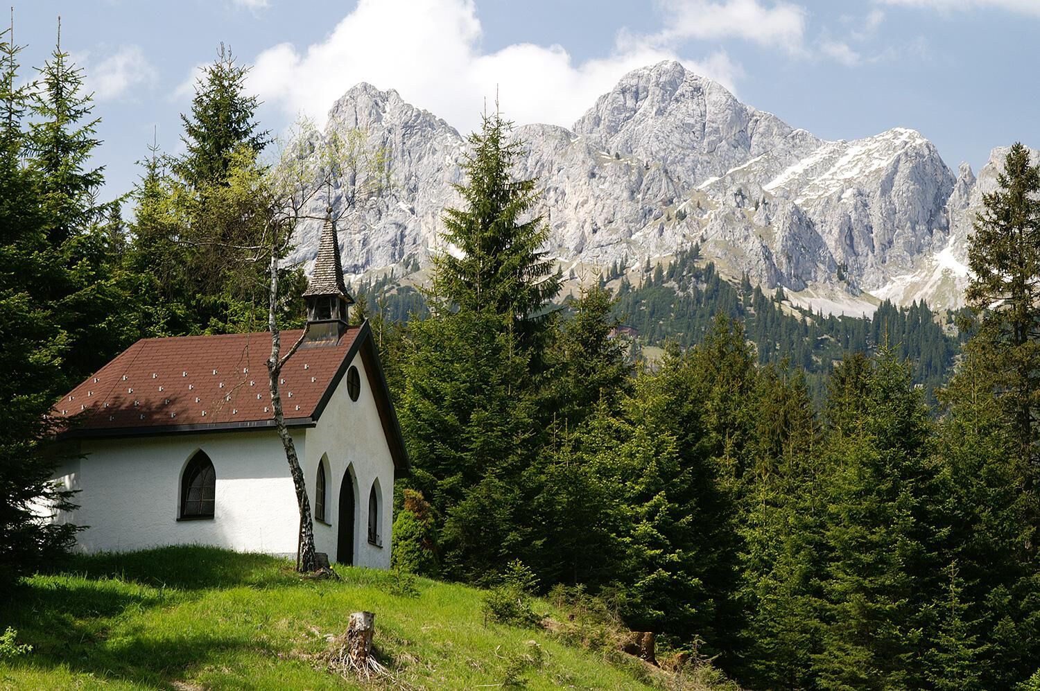
Starting point of the tour is the parking lot of the Krinnenalplift, continue on the forest path towards Krinnenalpe or choose the ascent with the 2-seater chairlift. Once you arrive at the Krinnenalpe, you take the Meraner Steig past the Rauther Alm (no hut) and descend on the forest path to Rauth. On the road you finally pass the Maria Hilf Chapel (Rauth bus stop). From there you can either take the hiking bus to the valley station of the Krinnenalplift in Nesselwängle or walk along the circular hiking trail.
Ja
Ja
Ja
Good footwear is essential despite good road conditions.
The Meraner Steig is relatively easy to walk on, the entire path is gravelled and well developed. However, good footwear is required! If necessary, make sure you have sun or rain protection and take something to drink with you.
On the motorway A7 at the exit "Oy-Mittelberg" on the B310 towards Wertach and to Oberjoch. There follow the signposting "Tannheimer Tal" B199, exit Nesselwängle.From the Tyrolean side via Reutte on the B198 towards Lechtal until Weißenbach, over the Gaichtpass along the B199 until exit Nesselwängle.
By train to Sonthofen, Pfronten/Ried or Reutte, then by bus to Nesselwängle.
Lift parking in Nesselwängle - parking fee
T1
The district Rauth is situated at the eastern end of the Tannheimer Tal and is also called Little Merano among the locals, as it is one of the sunniest places in the whole valley, both in winter and in summer.
Relax and fortify yourself in one of the refreshment facilities along the way.
Webkameraer på turen
-
Neunerköpfle Mittelstation
-
Haldensee - Neunerköpfle
-
Wängle - Panoramahotel Talhof
-
Weißenbach - Hotel Florence
-
Grän - Almdorf Tirol
-
Neunerköpfle Mittelstation
-
Neunerköpfle Mittelstation
-
Neunerköpfle Mittelstation
-
Neunerköpfle Mittelstation
-
Neunerköpfle Mittelstation
-
Neunerköpfle Mittelstation
-
Neunerköpfle Mittelstation
-
Panoramarestaurant Hahnenkamm
-
Grän - Hotel Bergblick
-
Füssener Jöchle Bergstation
-
Füssener Jöchle Bergstation
-
Füssener Jöchle Bergstation
-
Füssener Jöchle Bergstation
-
Füssener Jöchle Bergstation
-
Füssener Jöchle Bergstation
-
Bergstation Neunerköpfle
-
Füssener Jöchle Bergstation
-
Füssener Jöchle Bergstation
-
Haller
-
Haller
-
Haller
-
Haller
-
Haller
-
Gundhütte - Tannheimertal
Populære ture i området
-
4.2
Three-lake route (awarded the Tyrolean Hiking Trail Seal of Quality)
MediumVandring 14.8 km -
4.6
3-Seen Rundtour Vilsalpsee / Schrecksee / Traualpsee
MediumVandring 17.1 km -
4.9
3-Gipfel-Tour
MediumVandring 11.2 km -
4.6
Mountain hike to the Aggenstein
tungVandring 15.3 km -
4.8
Around Weißensee
lysVandring 6.12 km -
5.0
Hiking tour to Breitenberg
tungVandring 15.6 km -
4.8
To the Bad Kissinger Hut via the Gräner Höhenweg
MediumVandring 13.0 km -
3.8
From Tannheim to Sulzspitze
MediumVandring 15.6 km -
4.7
Bad Hindelang, Hinterstein, Deutschland
MediumVandring 14.1 km -
5.0
Gemeinde Grän, Tirol/Österreich Aggenstein Rundtour über Höhenweg
MediumVandring 9.84 km
Vandring og sporing


Gå ikke glip af tilbud og inspiration til din næste ferie
Din e-mailadresse er blevet tilføjet til mailinglisten.