


Billeder af vores brugere
-

 © Werner FögerOprettet den 14.08.2025
 -
 © Werner FögerOprettet den 14.08.2025
 -
 © Werner FögerOprettet den 14.08.2025
 -
 © Werner FögerOprettet den 14.08.2025
 -
 © Werner FögerOprettet den 14.08.2025
 -
 © DIIMOprettet den 13.10.2022
 -
 © DIIMOprettet den 13.10.2022
 -
 © DIIMOprettet den 13.10.2022
 -
 © Manuel FögerOprettet den 19.10.2025
 -
 © M. SchumannOprettet den 18.10.2025
 -
 © A. HeckOprettet den 10.10.2025
 -
 © A. HeckOprettet den 10.10.2025
 -
 © A. HeckOprettet den 10.10.2025
 -
 © A. HeckOprettet den 10.10.2025
 -
 © A. HeckOprettet den 10.10.2025
 -
 © A. HeckOprettet den 10.10.2025
 -
 © A. HeckOprettet den 10.10.2025
 -
 © A. HeckOprettet den 10.10.2025
 -
 © A. HeckOprettet den 10.10.2025
 -
 © A. HeckOprettet den 10.10.2025
 -
 © A. HeckOprettet den 10.10.2025
 -

 © Martin GlaserOprettet den 03.09.2025
 -

 © Katja HutterOprettet den 30.05.2025
 -
 © Katja HutterOprettet den 30.05.2025
 -
 © Katja HutterOprettet den 30.05.2025
 -
 © Martin GlaserOprettet den 15.02.2025


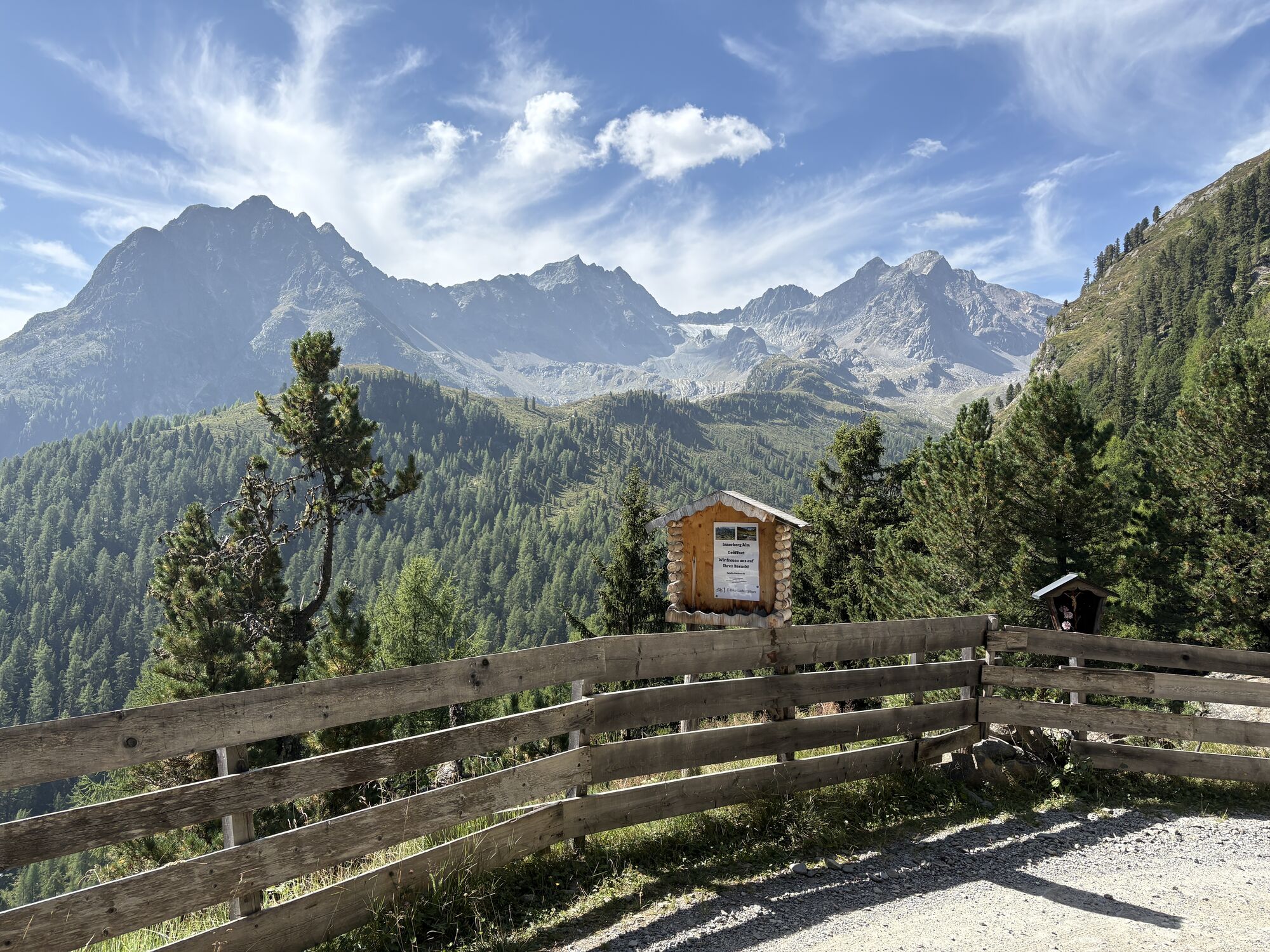
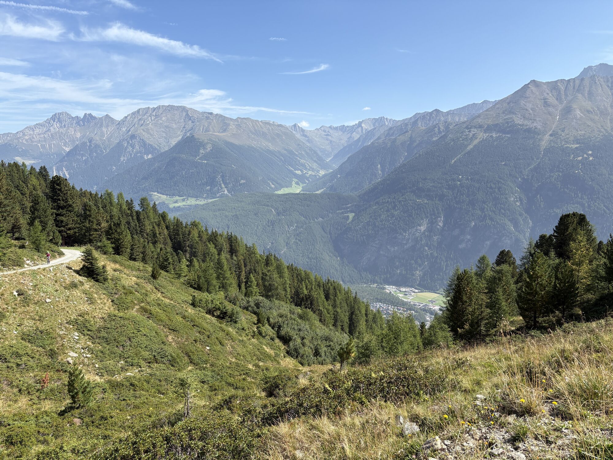
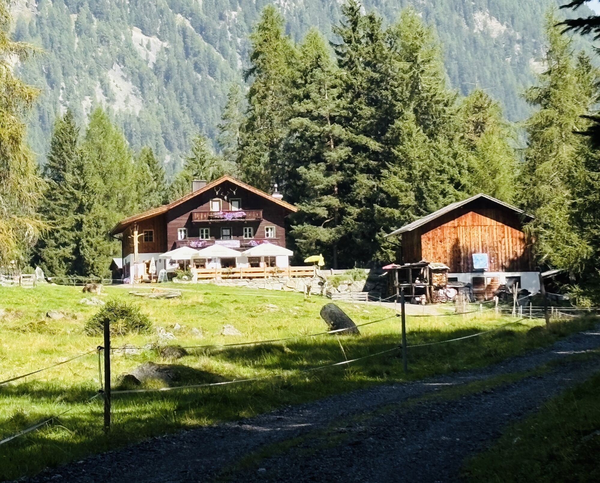
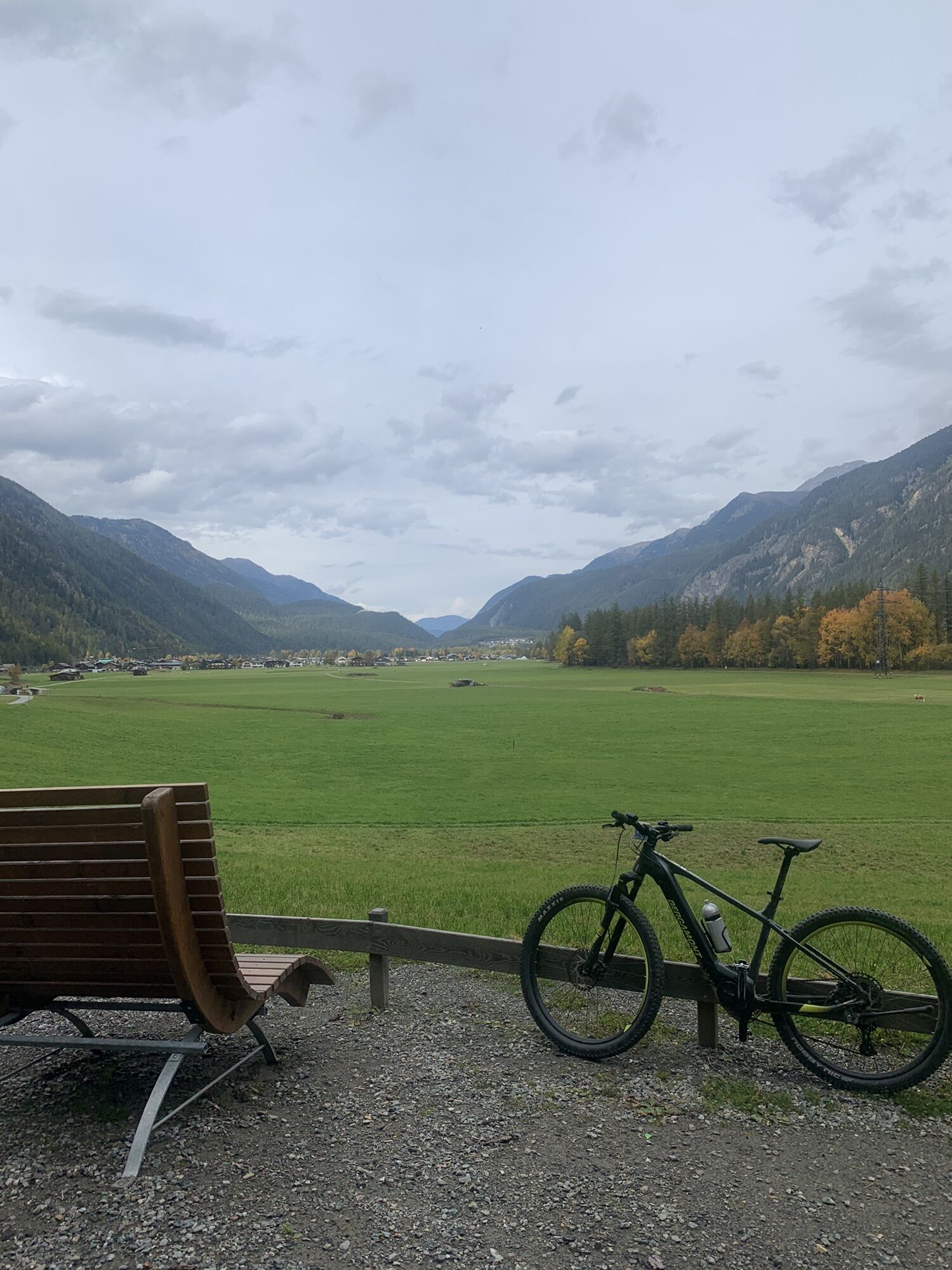


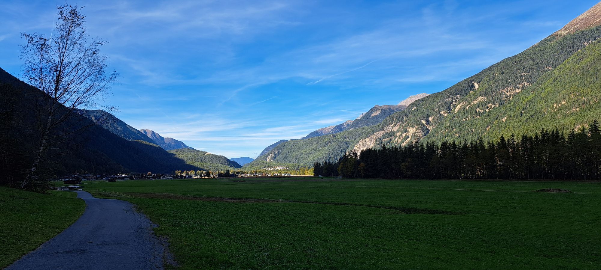
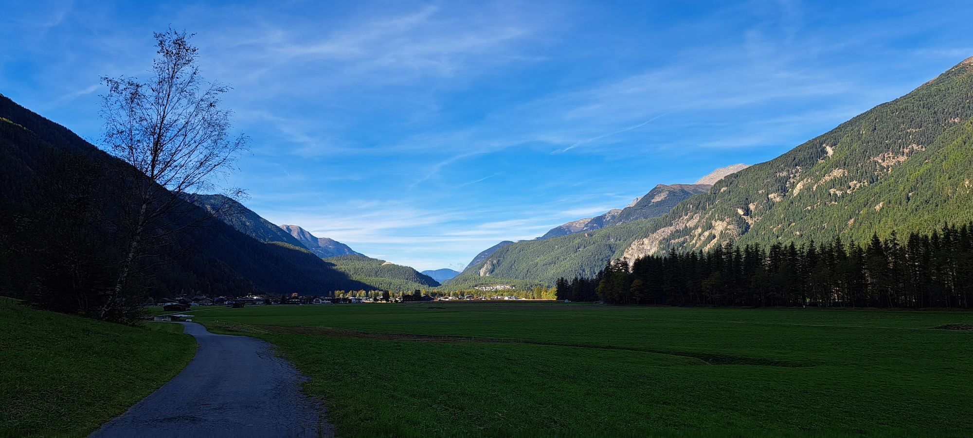
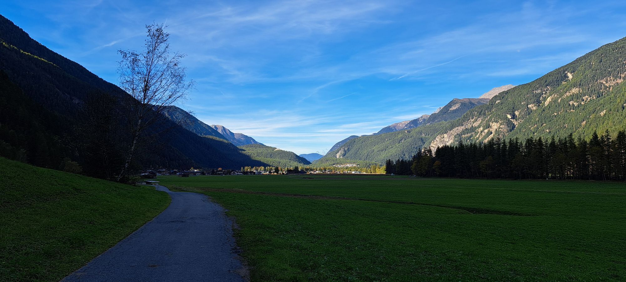
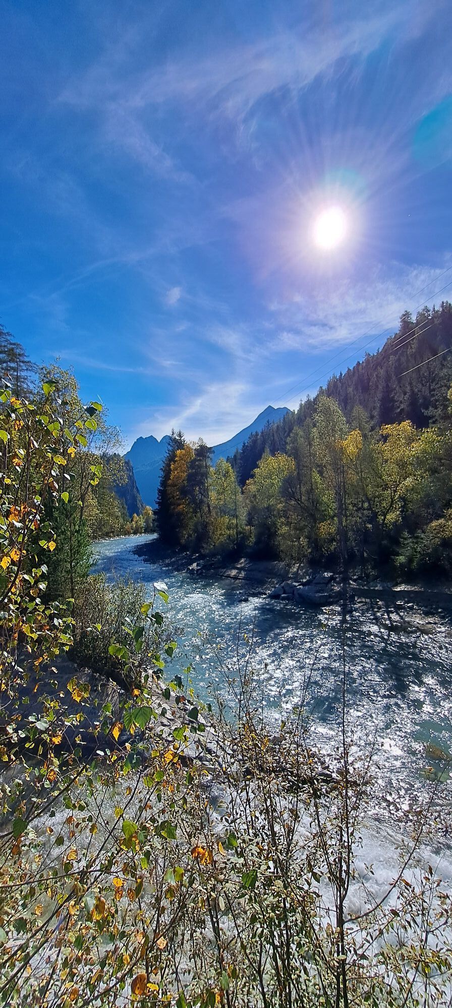


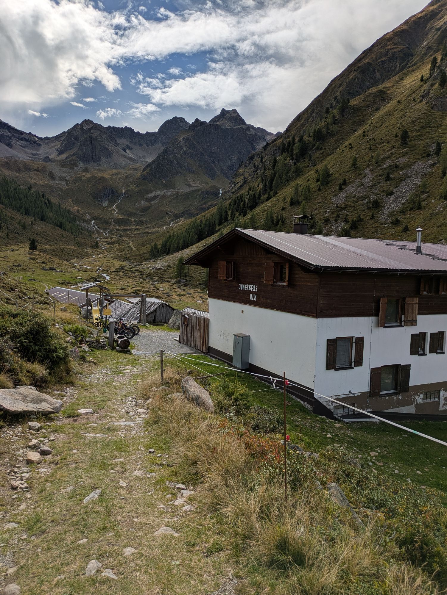

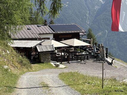
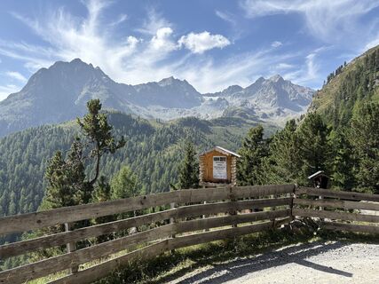
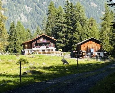
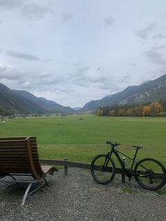
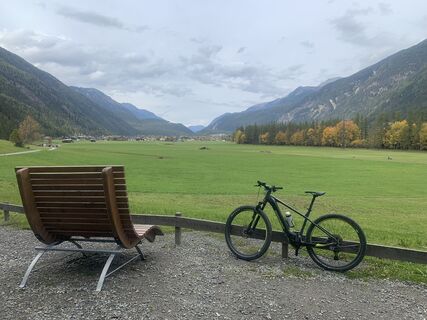
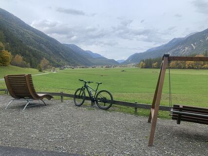
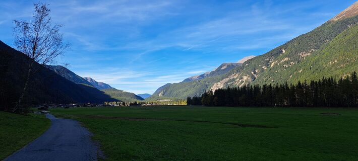
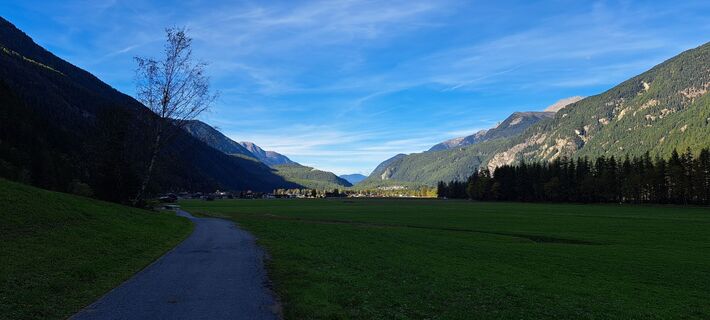
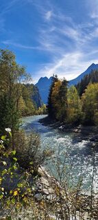
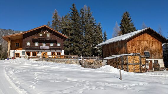
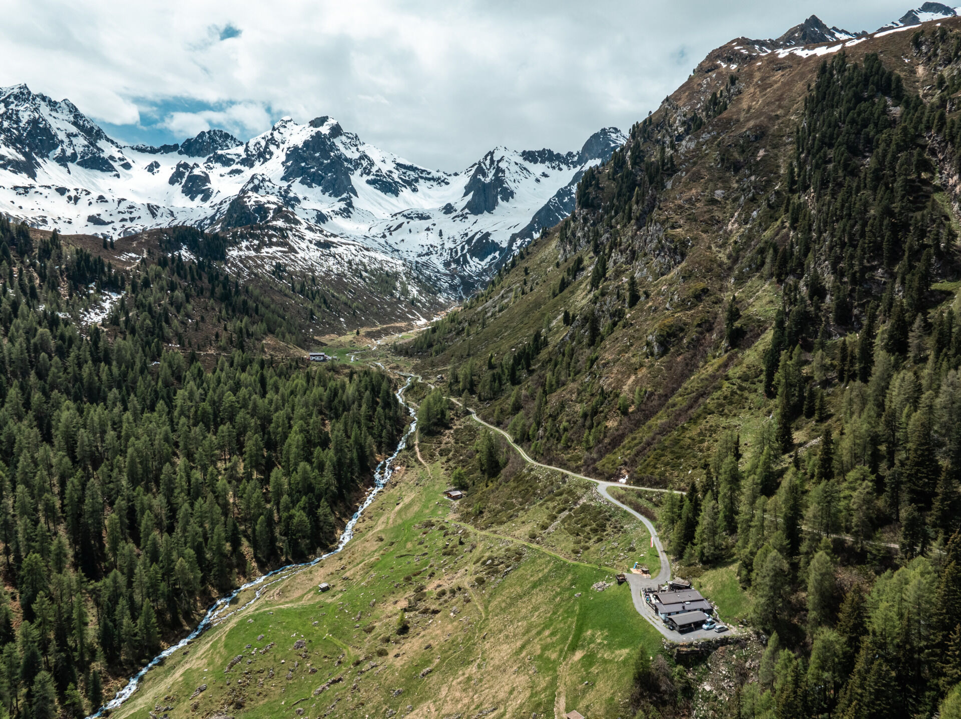
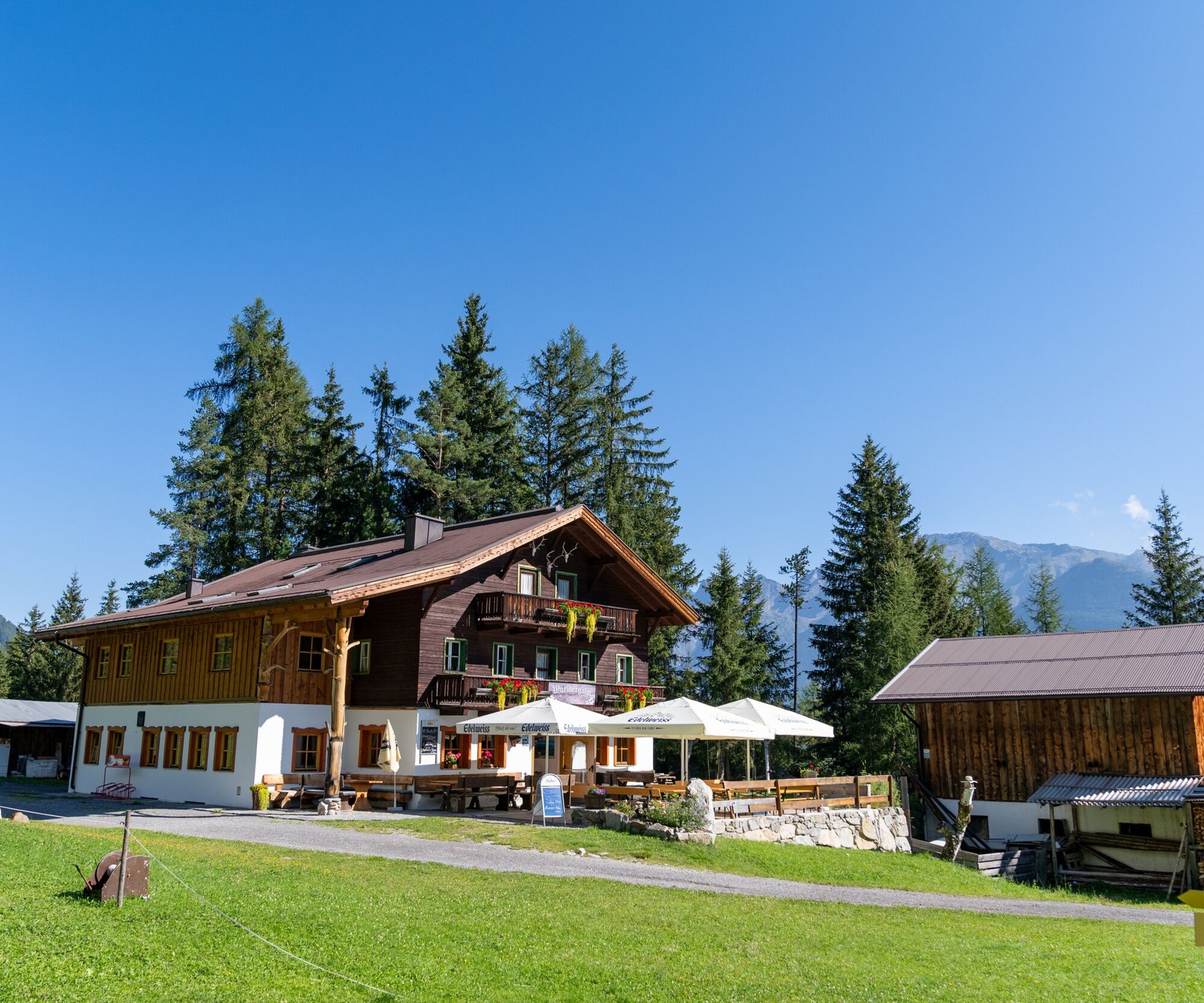
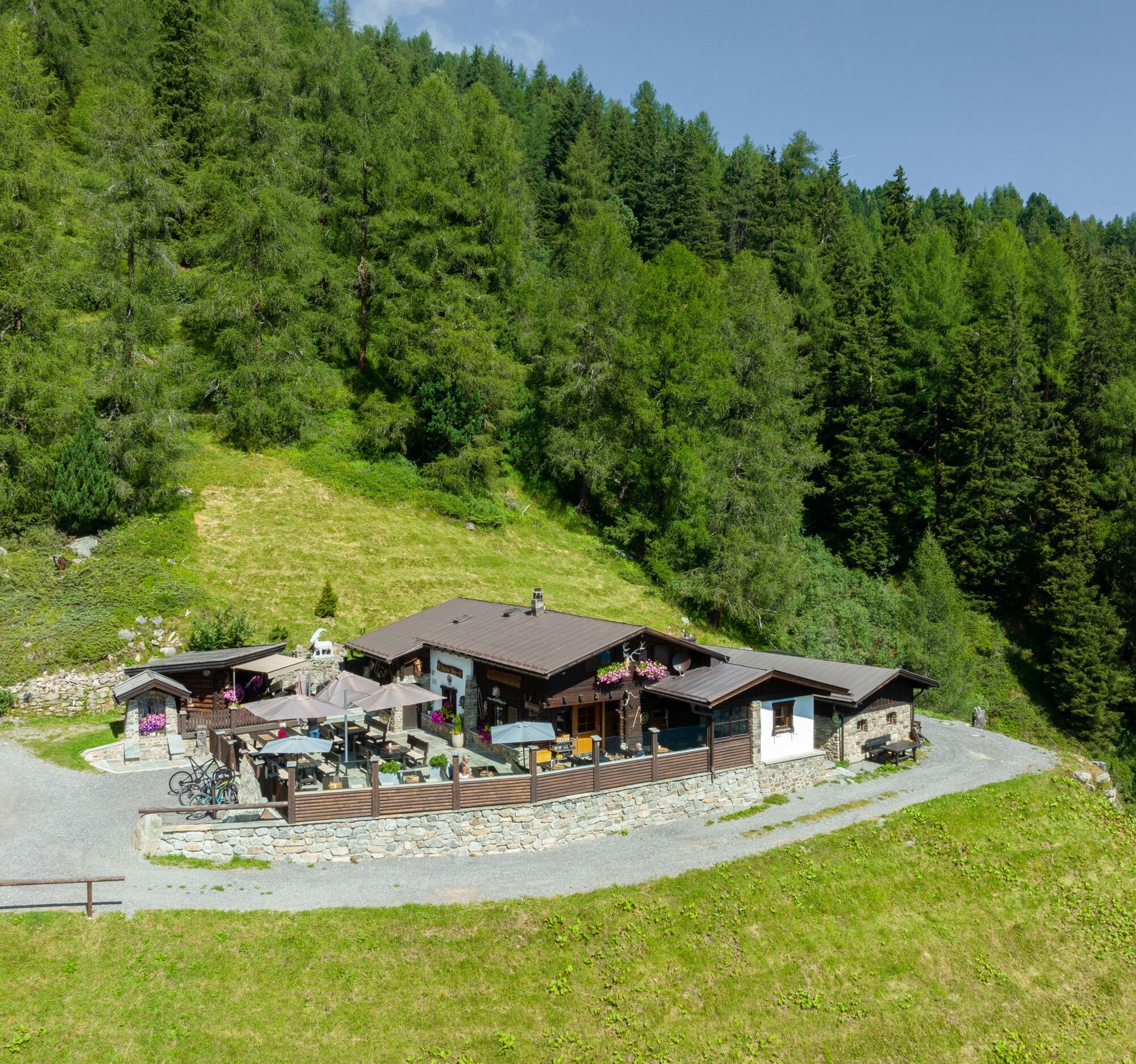
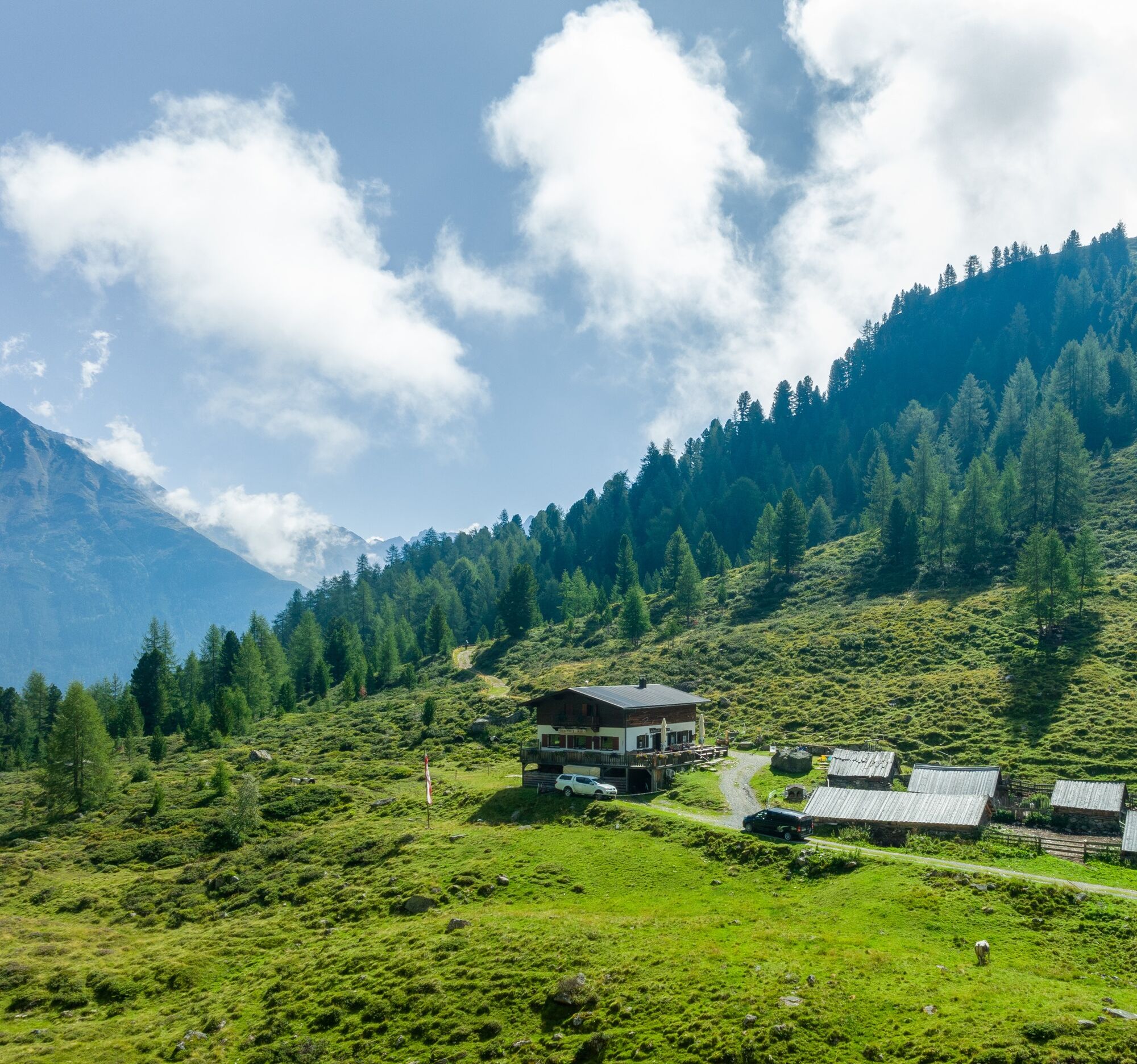
The start of the route is at the Sportzentrum Längenfeld. From there, you follow the Ötztaler Radweg (No. 11) downhill. Through the hamlets of Längenfeld, you soon reach the turnoff to Wurzberg Alm. The...
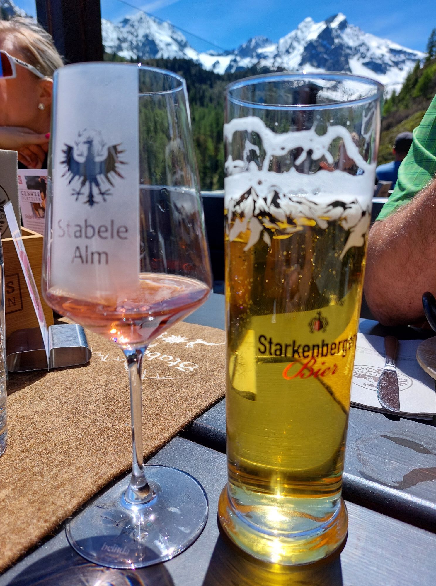
The start of the route is at the Sportzentrum Längenfeld. From there, you follow the Ötztaler Radweg (No. 11) downhill. Through the hamlets of Längenfeld, you soon reach the turnoff to Wurzberg Alm. The gravel road leads upwards in countless switchbacks. Fortunately, the forest provides some shade. After just under 4 kilometers, Wurzbergalm offers the first opportunity to stop for refreshments. It then continues towards Stabele Alm and Innerberg Alm. Soon the forest boundary is reached. Here you get an unobstructed view of the Ötztal mountain world. Further switchbacks provide an entertaining ride and build anticipation for the descent. Shortly before Stabele Alm, you pass the highest point of the route at 2,010 meters. Just a short dip, and the destination at Innerberg Alm is reached. You return to Längenfeld via the same path.

Appropriate equipment such as breathable clothing and weather-appropriate outdoor gear, bicycle helmet, gloves, sunglasses, and a GPS device or maps. On bike rides without opportunities to stop for food, sufficient provisions are necessary.
Sporty bike handling skills and defensive riding behavior are required due to some steep ascents and more difficult descents, and the demands on fitness and riding technique are rated as medium. The focus is on sporty, active (pleasure) cycling.
The car journey into ÖTZTAL. Located in Tyrol, the ÖTZTAL branches southwards as the longest side valley of the Eastern Alps. Travel by car leads visitors via the Inn valley to the valley entrance and further along the Ötztal. In addition to the toll motorway, country roads can also be used. With the route planner, your trip can be planned quickly and conveniently.
For the route planner: https://www.google.at/maps.
Travel comfortably and safely by train to the Ötztal train station. The final stop or exit point is the ÖTZTAL station. Afterwards, you can conveniently and quickly travel through the entire valley to your desired destination by public bus service or local taxi companies! The current bus schedule is available at: fahrplan.vvt.at
The following parking options are available in Längenfeld:
Sportzentrum Längenfeld, free of charge
More information about biking & cycling in Ötztal: https://www.oetztal.com/biken
This route runs along developed paths and can be easily ridden with a motorized e-mountain bike or a classic mountain bike without motor assistance.
Populære ture i området
-
4.7
Winnebachsee Hut – Längenfeld/Gries
MediumVandring 4.74 km -
4.4
Oetz - Piburger See - Oetz
MediumVandring 7.16 km -
4.2
Hike Stuibenfall - Umhausen
lysVandring 2.95 km -
4.4
Stuibenfall Umhausen circular hike
lysVandring 9.32 km -
5.0
Larstigalm - Niederthai
lysVandring 3.24 km -
4.5
Amberger Hut - Längenfeld/Gries
MediumVandring 5.60 km -
3.4
Peerler Lake
MediumVandring 12.6 km -
4.7
Umhausen - Stuibenfall - Umhausen
MediumVandring 7.94 km -
4.6
Summit route Weather Cross from Hochoetz
MediumVandring 3.06 km -
5.0
Nissl Alm - Längenfeld/Gries
lysVandring 5.17 km
Vandring og sporing


Gå ikke glip af tilbud og inspiration til din næste ferie
Din e-mailadresse er blevet tilføjet til mailinglisten.