


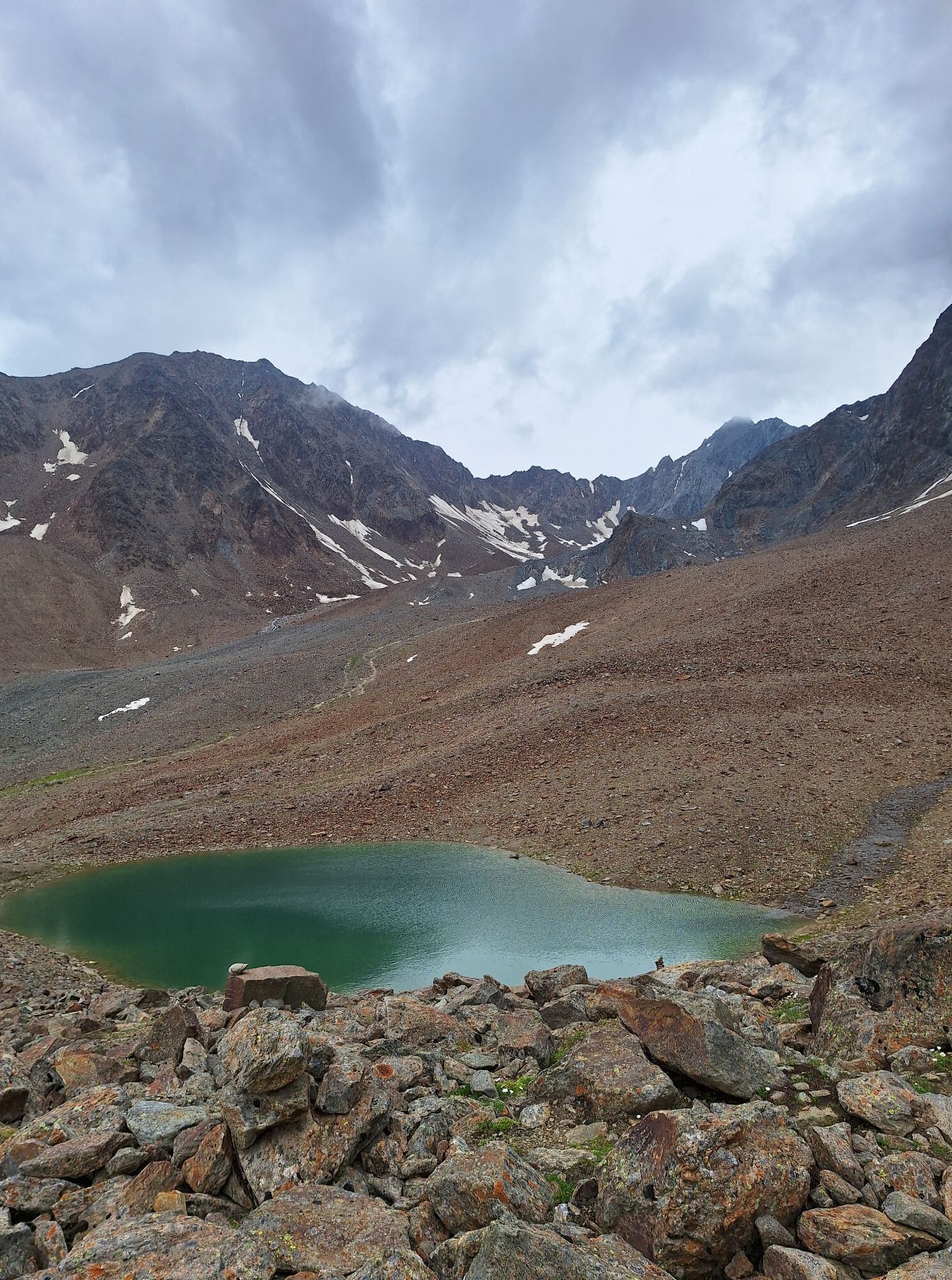
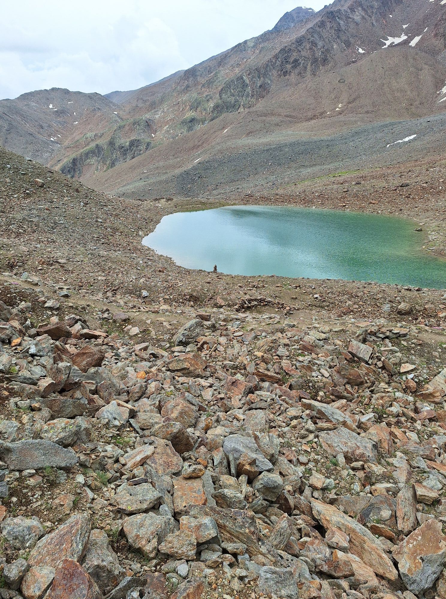
From the Breslauer Hut on the Seufert Way towards Vernagthütte, turn right over the Mitterkarferner to the Mitterkarjoch and continue over the block ridge to the summit.

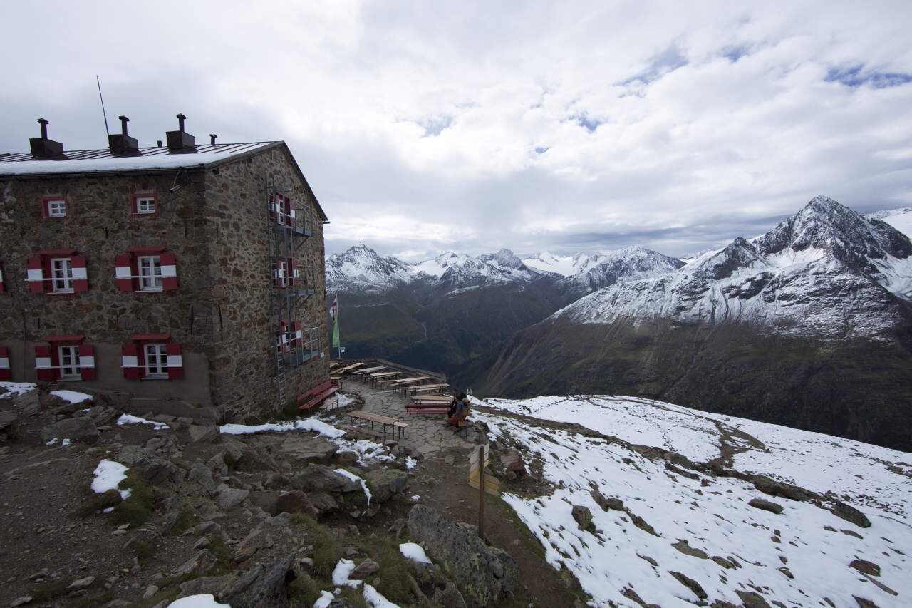
From the Breslauer Hut on the Seufert Way towards Vernagthütte, turn right over the Mitterkarferner to the Mitterkarjoch and continue over the block ridge to the summit.
Ja
Ja
Appropriate equipment such as breathable and weather-appropriate outdoor clothing, ankle-high hiking boots, wind, rain and sun protection, hat, possibly gloves, is required for all hikes and routes. Bringing a first aid kit, a mobile phone and possibly a hiking map, as well as sufficient provisions for hikes without the possibility of stopping, is necessary.
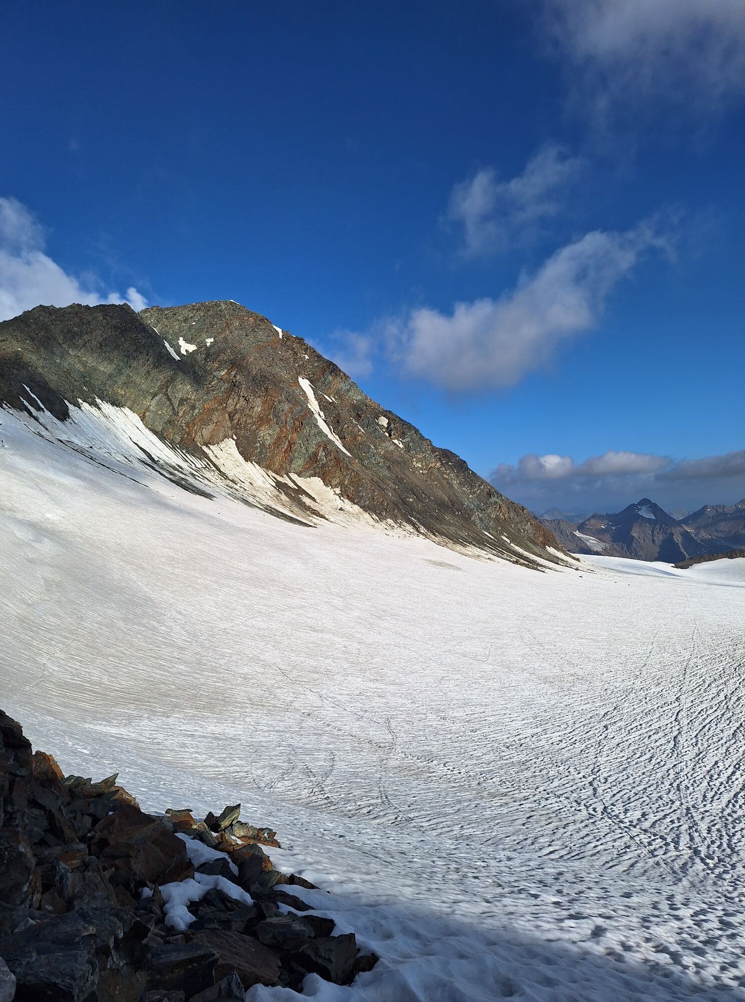
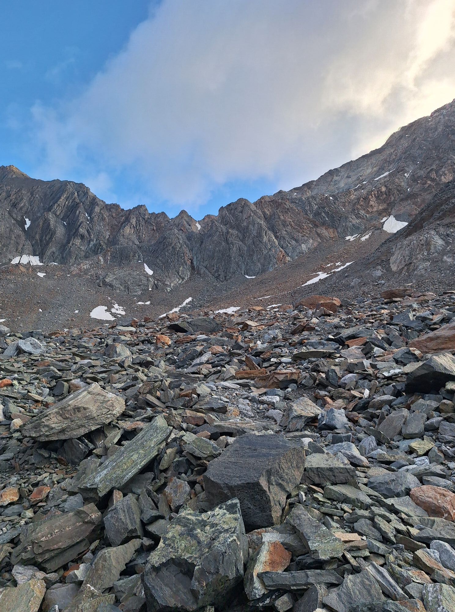
For mountaineers free from dizziness, sure-footed and highly experienced in alpine terrain; excellent physical condition, extensive mountaineering experience, alpine climbing equipment, securing and orientation tools, good weather conditions recommended Please check the current weather report at: www.oetztal.com/en/summer.html
Car journey into the ÖTZTAL. Located in Tyrol, the Ötztal branches off to the south as the longest side valley of the Eastern Alps. Traveling by car takes visitors through the Inn Valley to the valley entrance and then along the Ötztal. In addition to the toll motorway, country roads can also be used. With the route planner, your journey can be determined quickly and conveniently: To the route planner: https://www.google.at/maps
Travel comfortably and safely by train to the Ötztal train station. The final stop or exit point is ÖTZTAL station. Afterwards, you can travel conveniently and quickly by public transport or local taxi companies throughout the valley to your desired destination! The current bus schedule is available at: http://fahrplan.vvt.at
In the mountaineering village of Vent, the following parking options are available.
- In summer, in front of the village (parking meter, coins or EC card only) and at the valley station of the chairlift (at the ticket office of the mountain railways)
- In winter, only at the valley station of the chairlift.
Cost: €5.00 per day/car
More info about hiking in the Ötztal: www.oetztal.com/hiking
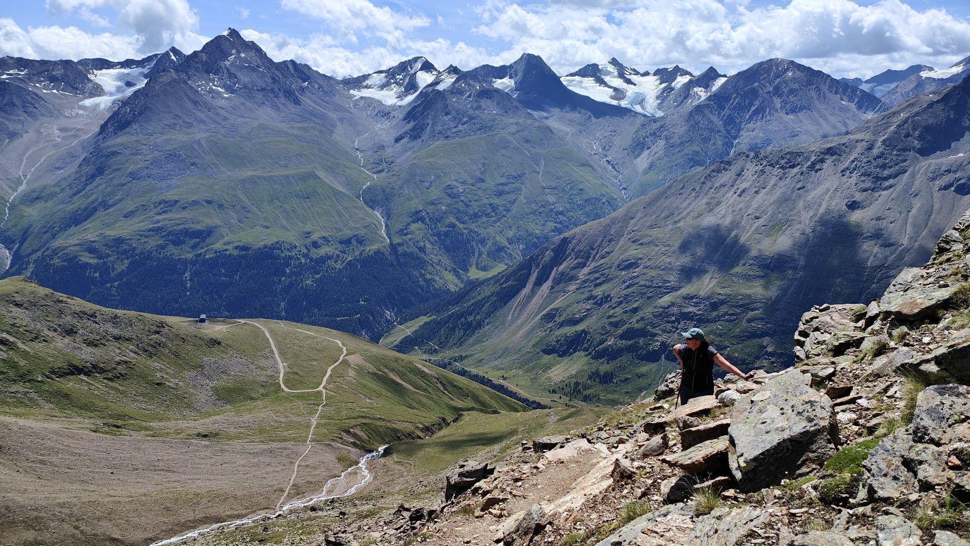
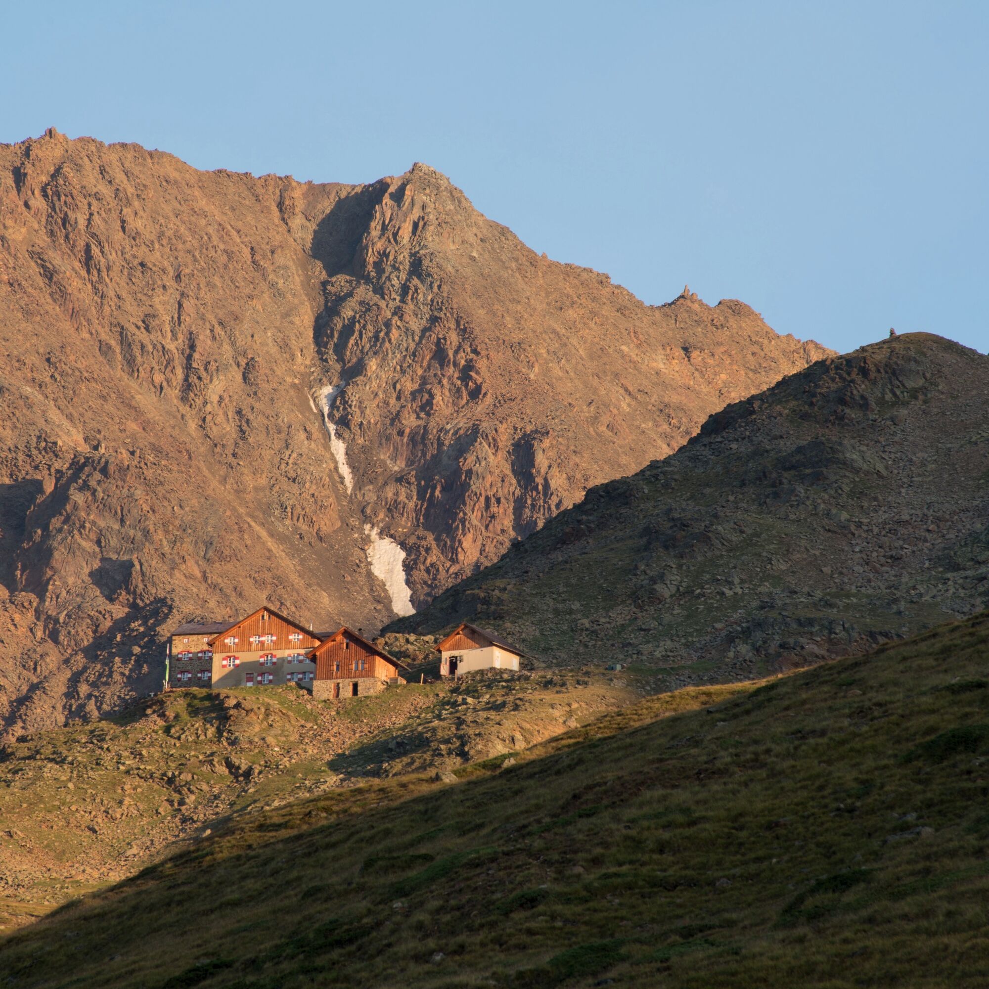
The Hinterer Brochkogel is only recommended for sure-footed and experienced mountaineers!
Reservation of hut sleeping places necessary!
Populære ture i området
-
3.1
Tiefenbachglacier - Mountaineering Village Vent
MediumVandring 10.8 km -
5.0
Kreuzspitze
tungVandring 11.6 km -
4.5
Vent - Wilder Mann - Breslauer Hütte - Stableinalm
MediumVandring 7.25 km -
5.0
From Vent to the Similaun at 3,606 m
tungHøj tur 29.2 km -
4.5
Nederkogl
tungVandring 6.22 km -
4.8
Vent - Martin Busch Hut - Similaun Hut
MediumVandring 13.7 km -
4.5
Lake Gaislachsee
MediumVandring 4.04 km -
5.0
07. 19.07.19 - Langeggbahn-Rotkogel–Schwarzsee-Schwarzkogel-Giggijochbahn
MediumVandring 6.67 km -
5.0
Vent - Similaun Hut - Ötzi Discovery Site
MediumVandring 14.9 km -
5.0
Stabele - Brunnenbergalm
MediumVandring 5.52 km
Vandring og sporing


Gå ikke glip af tilbud og inspiration til din næste ferie
Din e-mailadresse er blevet tilføjet til mailinglisten.