


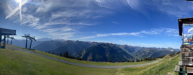
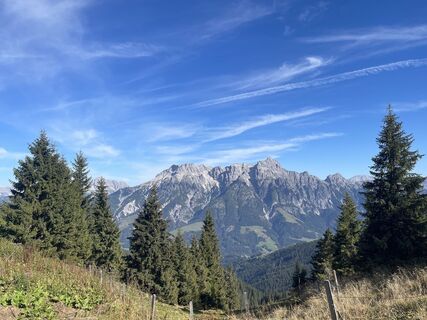
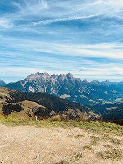
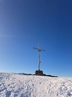
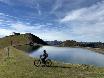
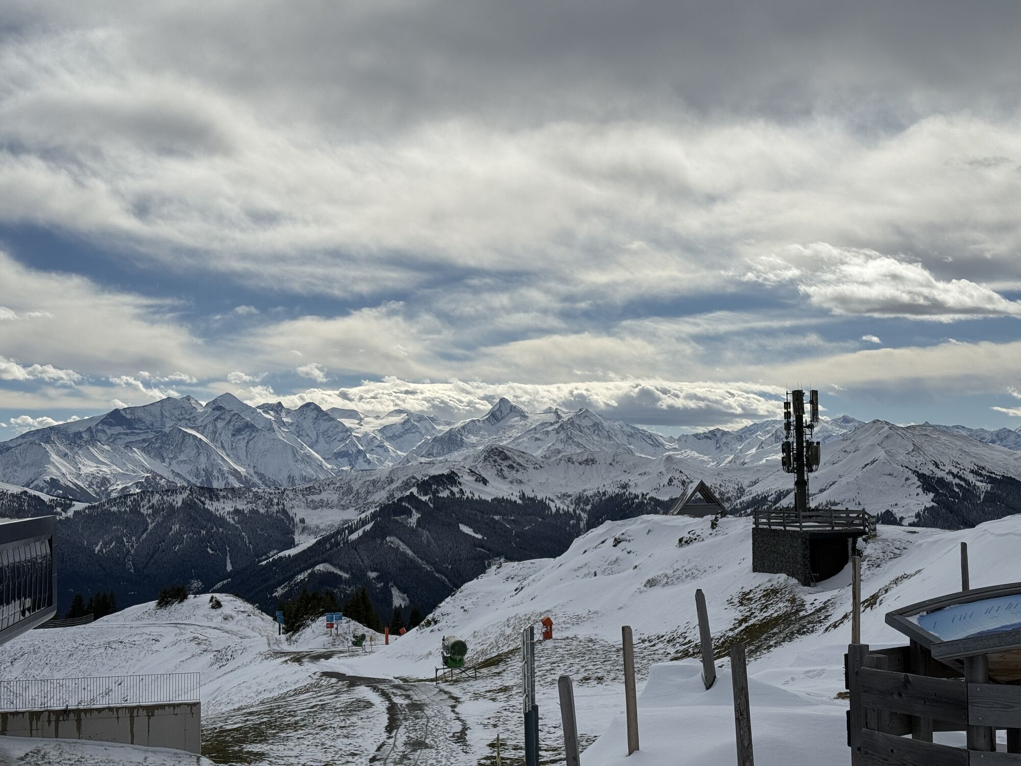
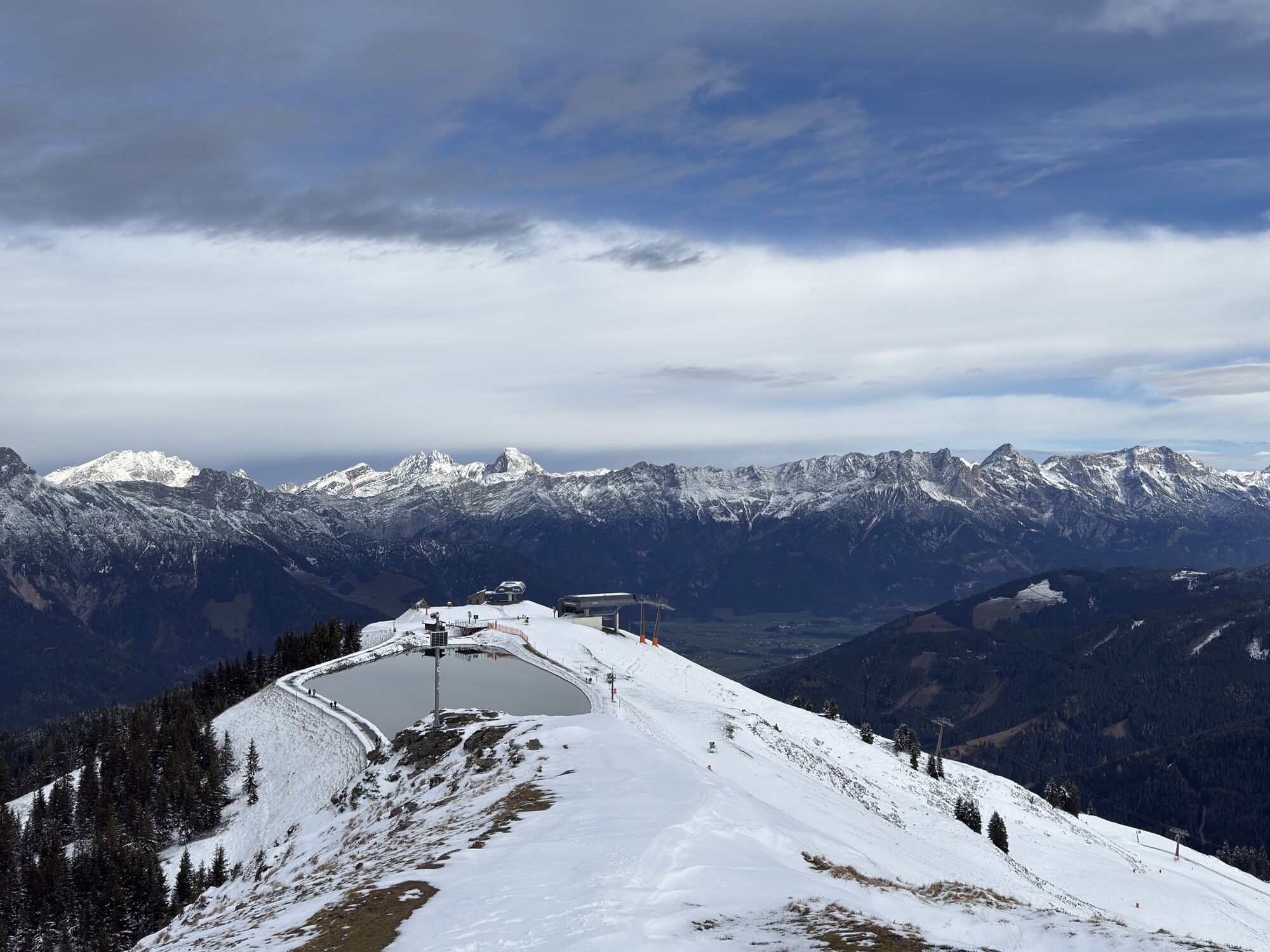
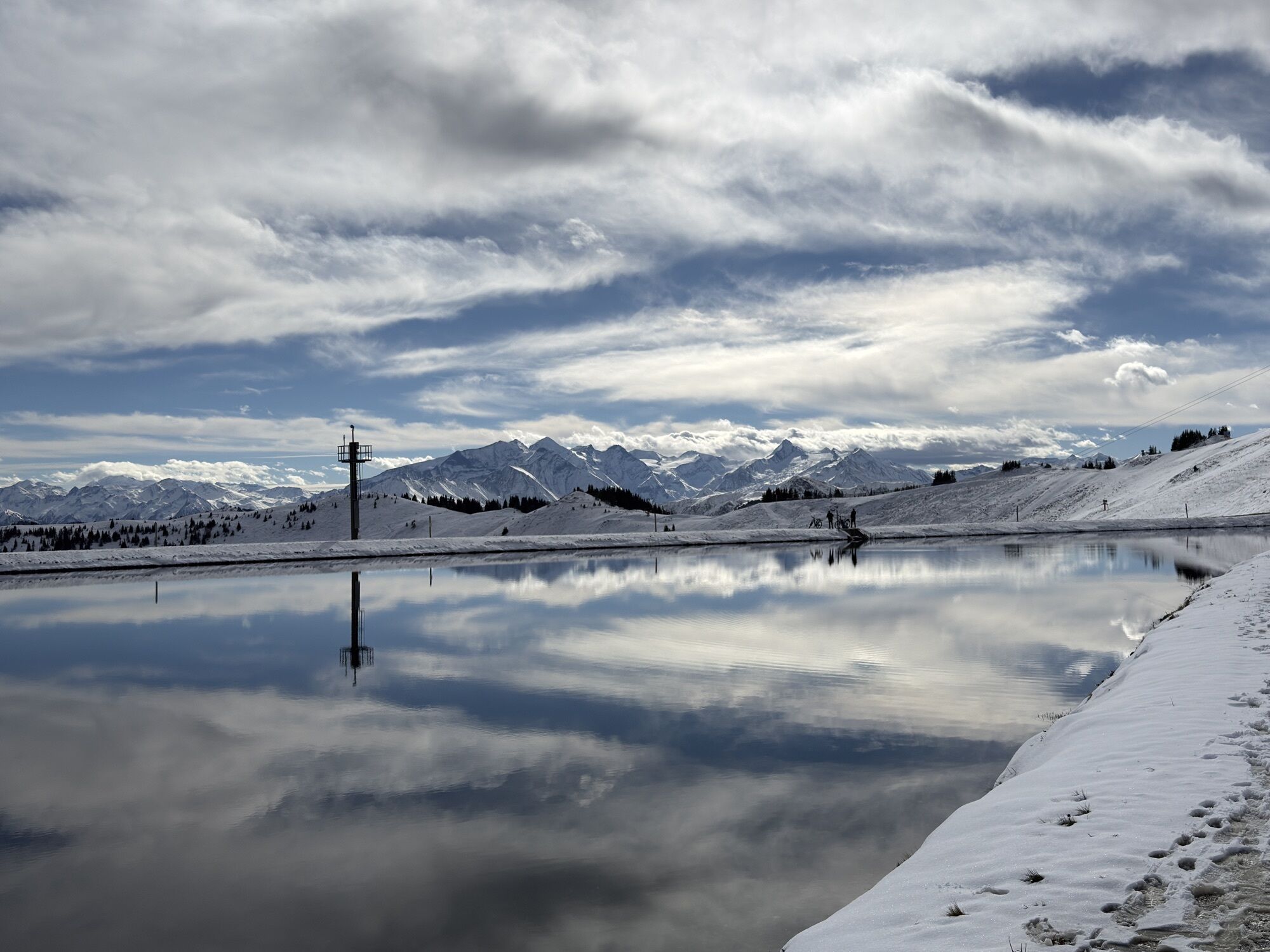
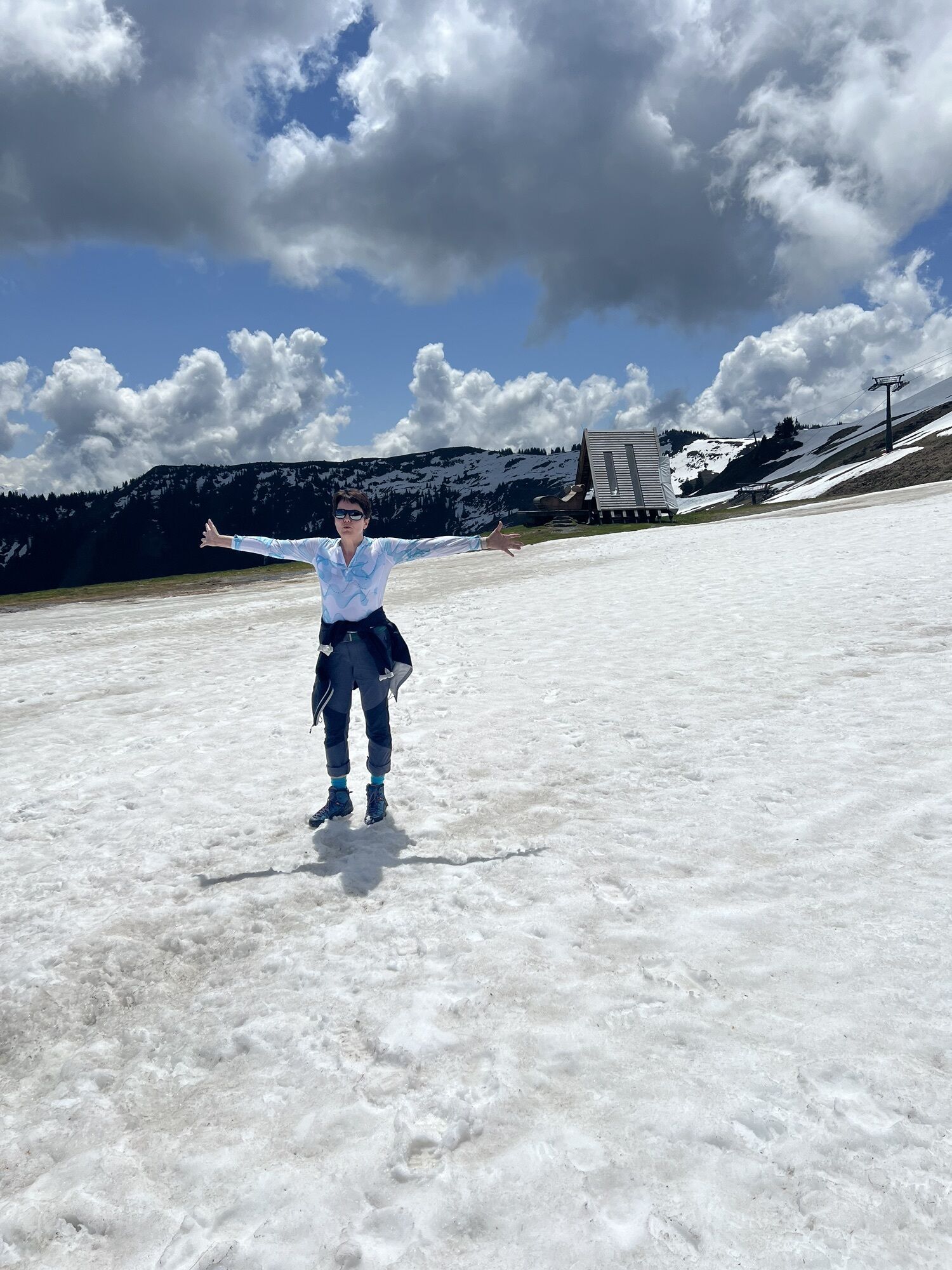
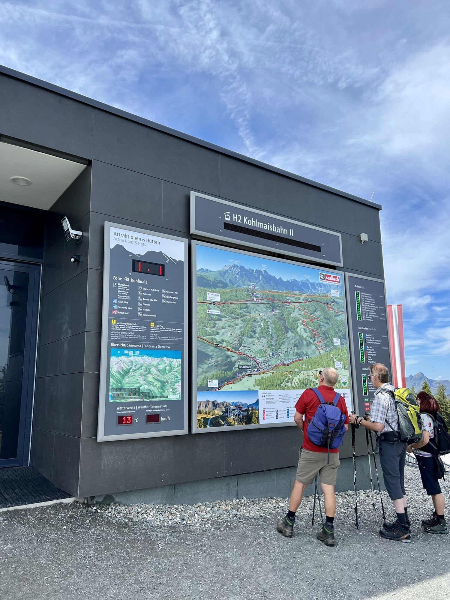
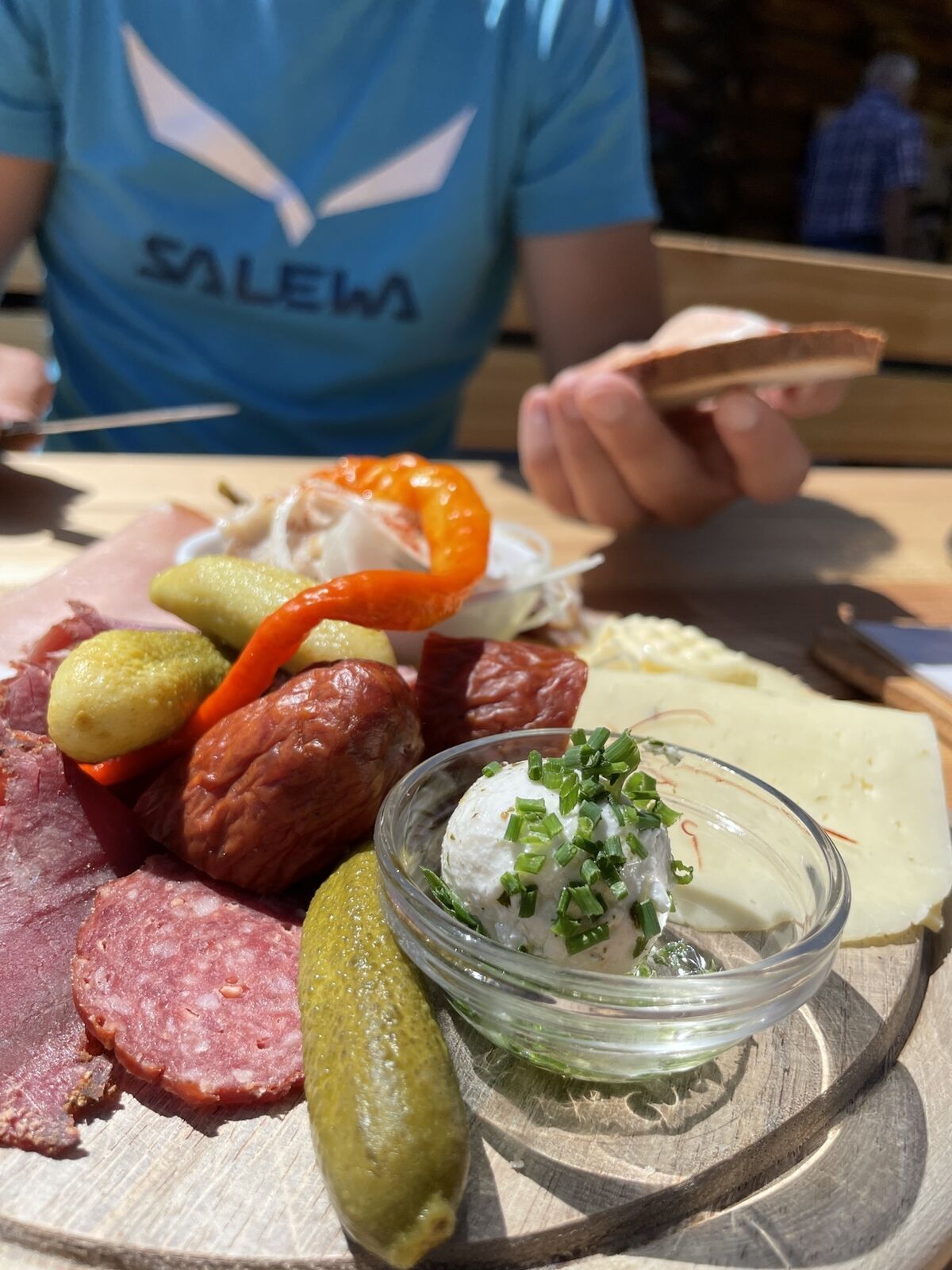
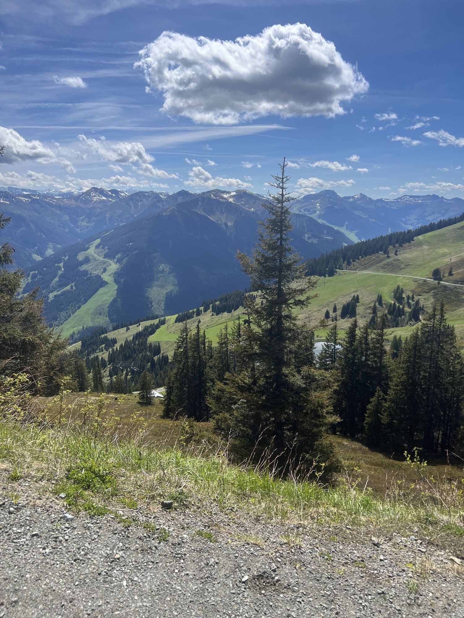
Billeder af vores brugere
-
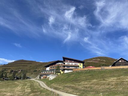
 © firebird 93Oprettet den 28.09.2023
 -
 © firebird 93Oprettet den 28.09.2023
 -
 © firebird 93Oprettet den 28.09.2023
 -
 © Andreas AufschnaiterOprettet den 05.09.2022
 -
 © Markus RadlgruberOprettet den 04.06.2022
 -
 © Bernd EttingerOprettet den 14.09.2020
 -
 © Wolfgang SimhoferOprettet den 25.10.2025
 -
 © Wolfgang SimhoferOprettet den 25.10.2025
 -
 © Wolfgang SimhoferOprettet den 25.10.2025
 -
 © Wolfgang SimhoferOprettet den 25.10.2025
 -
 © MiriamhaferkampOprettet den 21.08.2025
 -
 © Werner RupprechtOprettet den 09.08.2025
 -
 © Peter GerdemannOprettet den 25.06.2025
 -
 © Peter GerdemannOprettet den 25.06.2025
 -
 © Peter GerdemannOprettet den 25.06.2025
 -
 © Hermann E.Oprettet den 09.06.2025
 -
 © Hermann E.Oprettet den 09.06.2025
 -
 © Hermann E.Oprettet den 09.06.2025
 -
 © Hermann E.Oprettet den 08.06.2024
 -
 © Hermann E.Oprettet den 08.06.2024
 -
 © Hermann E.Oprettet den 08.06.2024
 -
 © Simon ZelderOprettet den 08.10.2023
 -

 © Babsi-Elias-Sophie-MaxOprettet den 07.08.2025
 -

 © juliphiOprettet den 30.08.2024
 -
 © juliphiOprettet den 30.08.2024
 -
 © juliphiOprettet den 30.08.2024
 -
 © Zoran DujakovicOprettet den 18.05.2024
 -
 © Zoran DujakovicOprettet den 18.05.2024
 -
 © Zoran DujakovicOprettet den 18.05.2024
 -
 © firebird 93Oprettet den 28.09.2023
 -
 © Bernhard DewitzOprettet den 25.05.2023
 -
 © Bernhard DewitzOprettet den 25.05.2023
 -
 © Bernhard DewitzOprettet den 25.05.2023
 -
 © Bernhard DewitzOprettet den 25.05.2023
 -
 © Andreas AufschnaiterOprettet den 05.09.2022
 -
 © Markus RadlgruberOprettet den 04.06.2022
 -
 © Markus RadlgruberOprettet den 04.06.2022
 -
 © Zoran DujakovicOprettet den 30.05.2025
 -
 © Zoran DujakovicOprettet den 30.05.2025
 -
 © Matej Mikus 1Oprettet den 15.02.2025
 -
 © Ulrich Dr. GerhardtOprettet den 31.01.2025
 -
 © Michael RohrmoserOprettet den 19.01.2025
 -
 © Michael RohrmoserOprettet den 19.01.2025
 -
 © Michael RohrmoserOprettet den 19.01.2025
 -
 © Heinrich SlesakOprettet den 25.10.2024


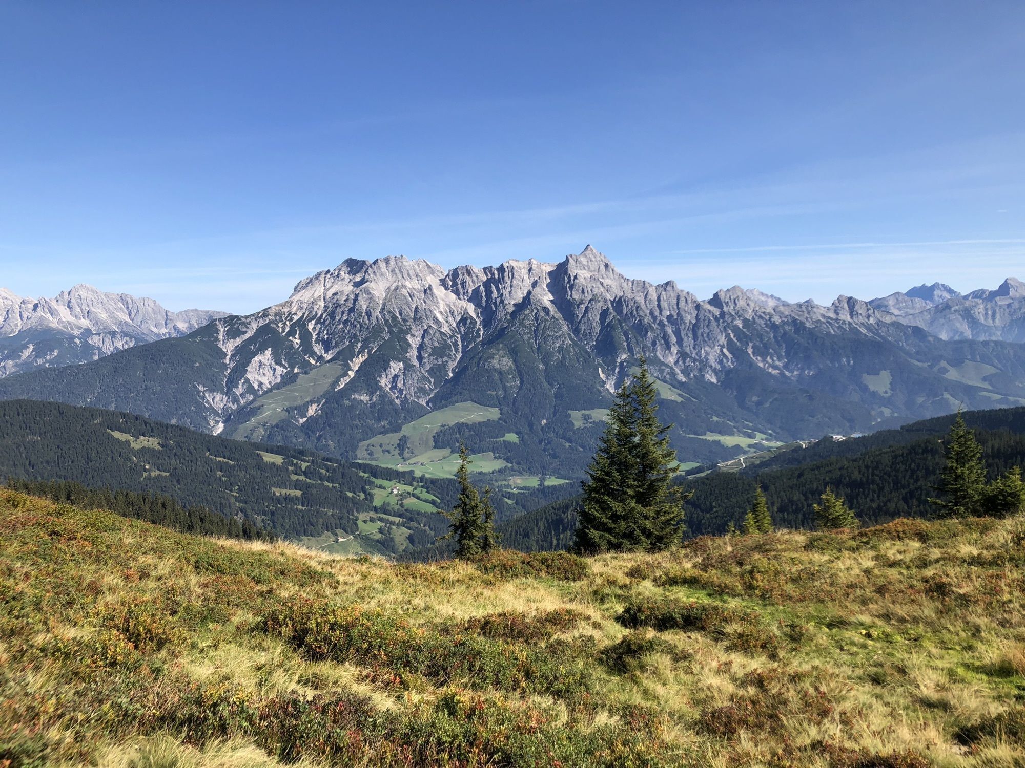


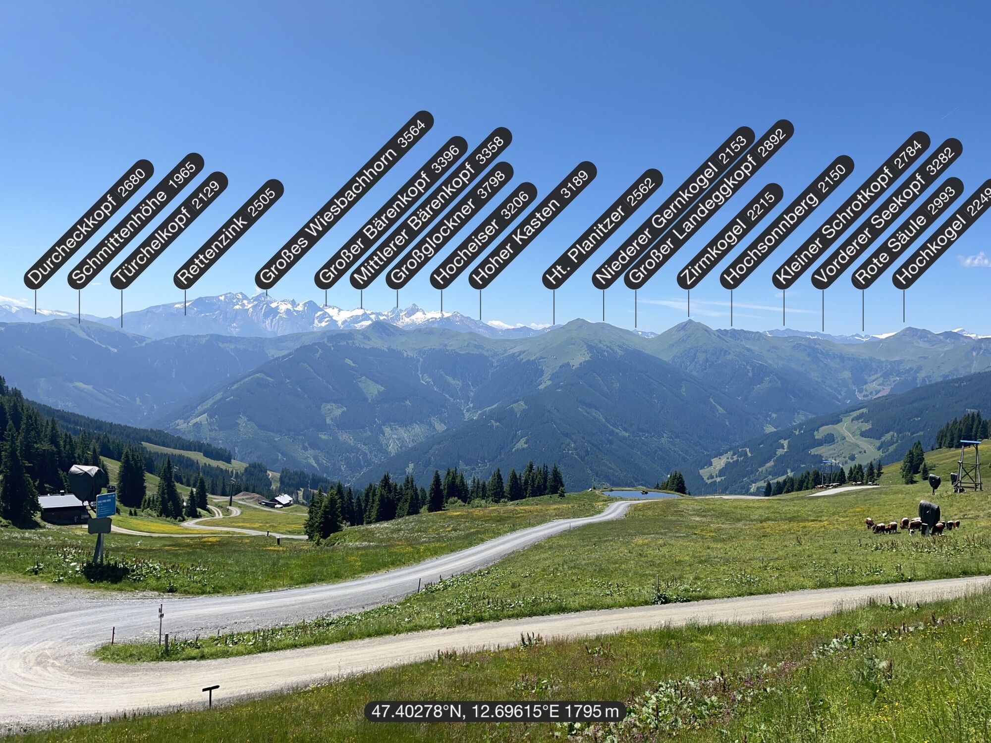
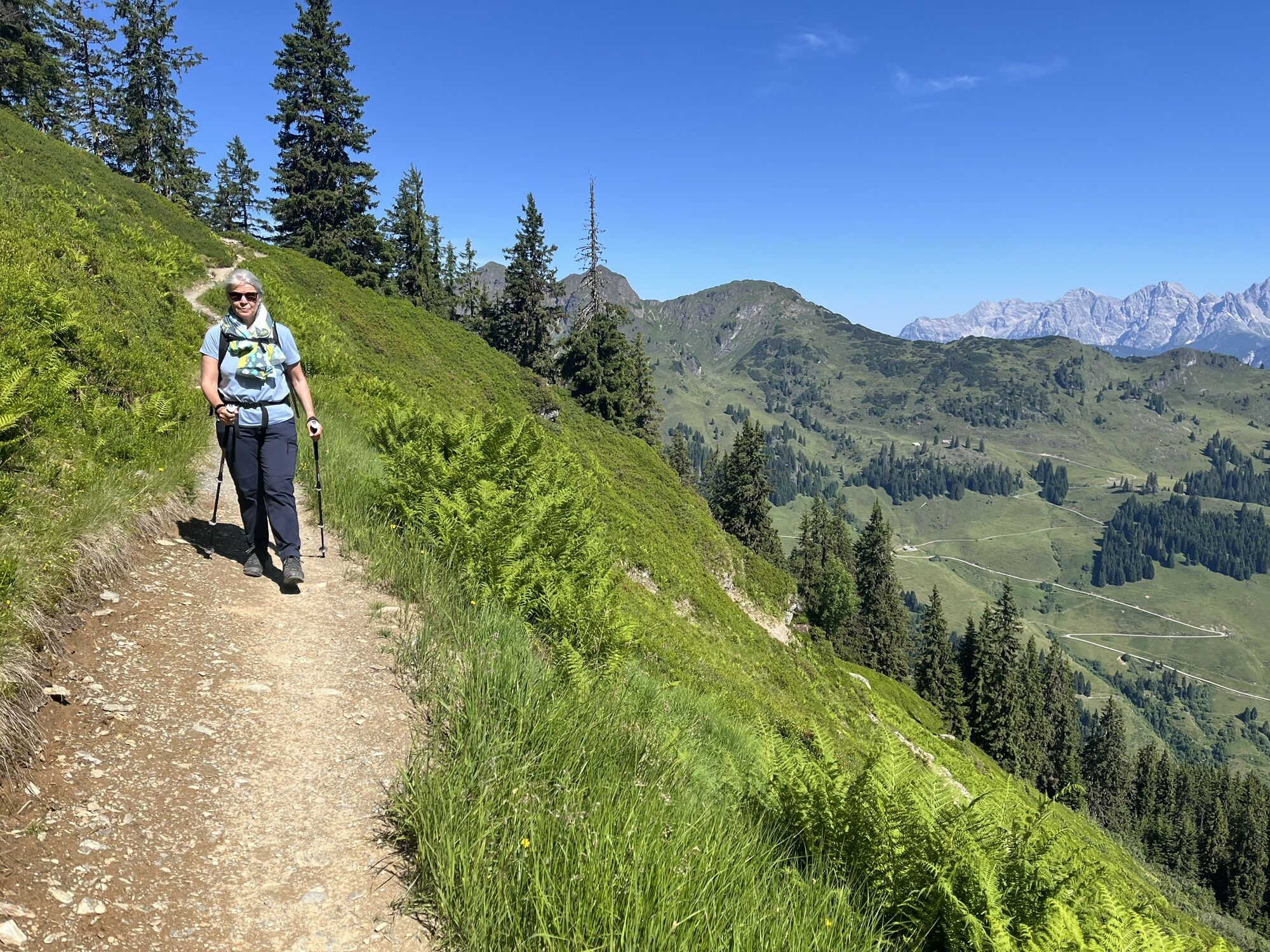
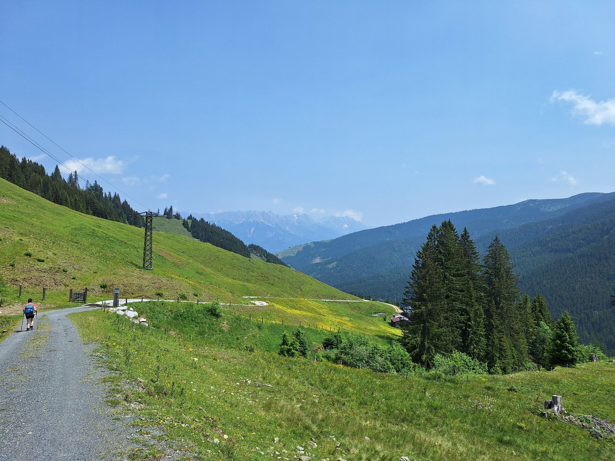

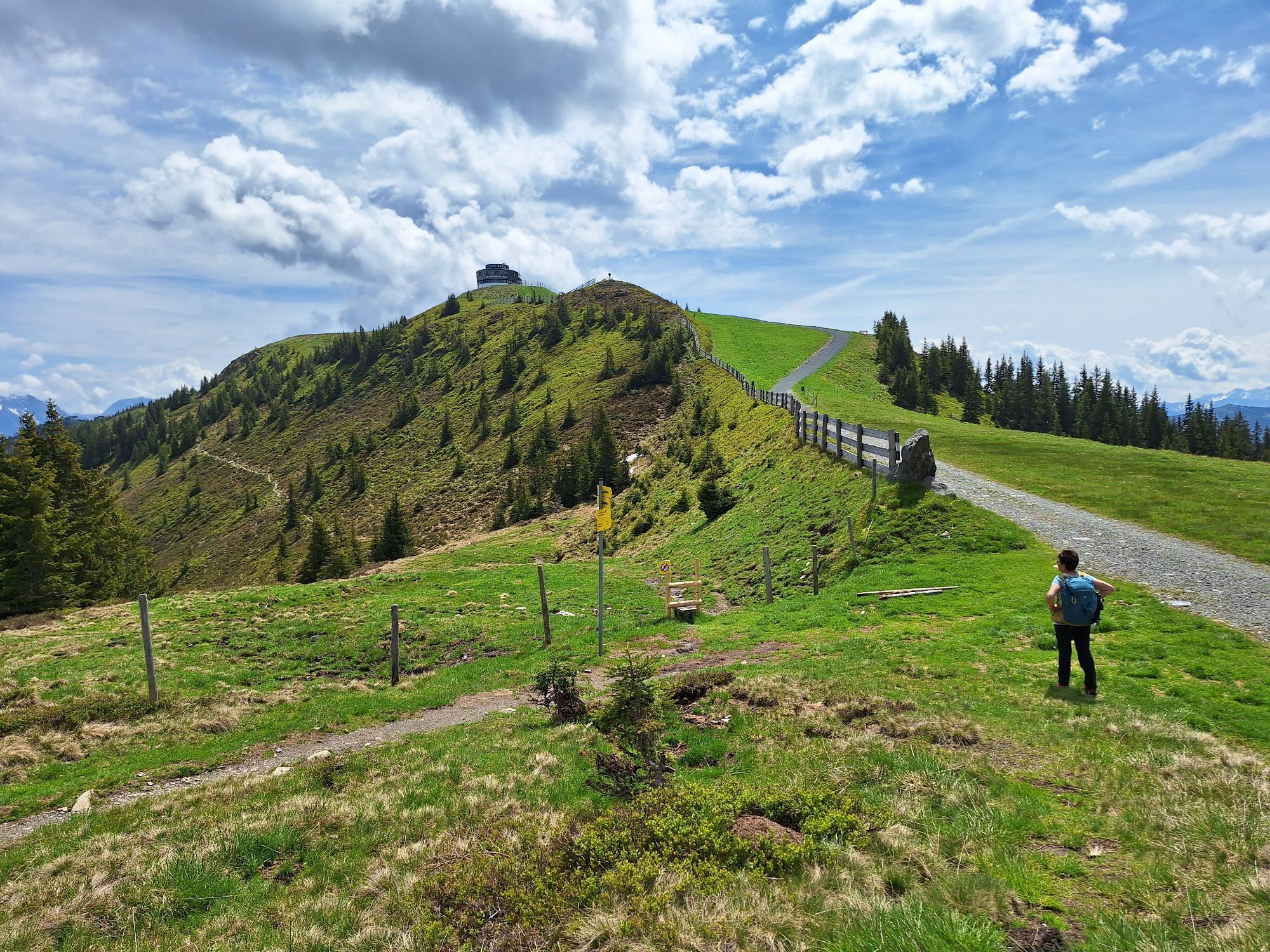


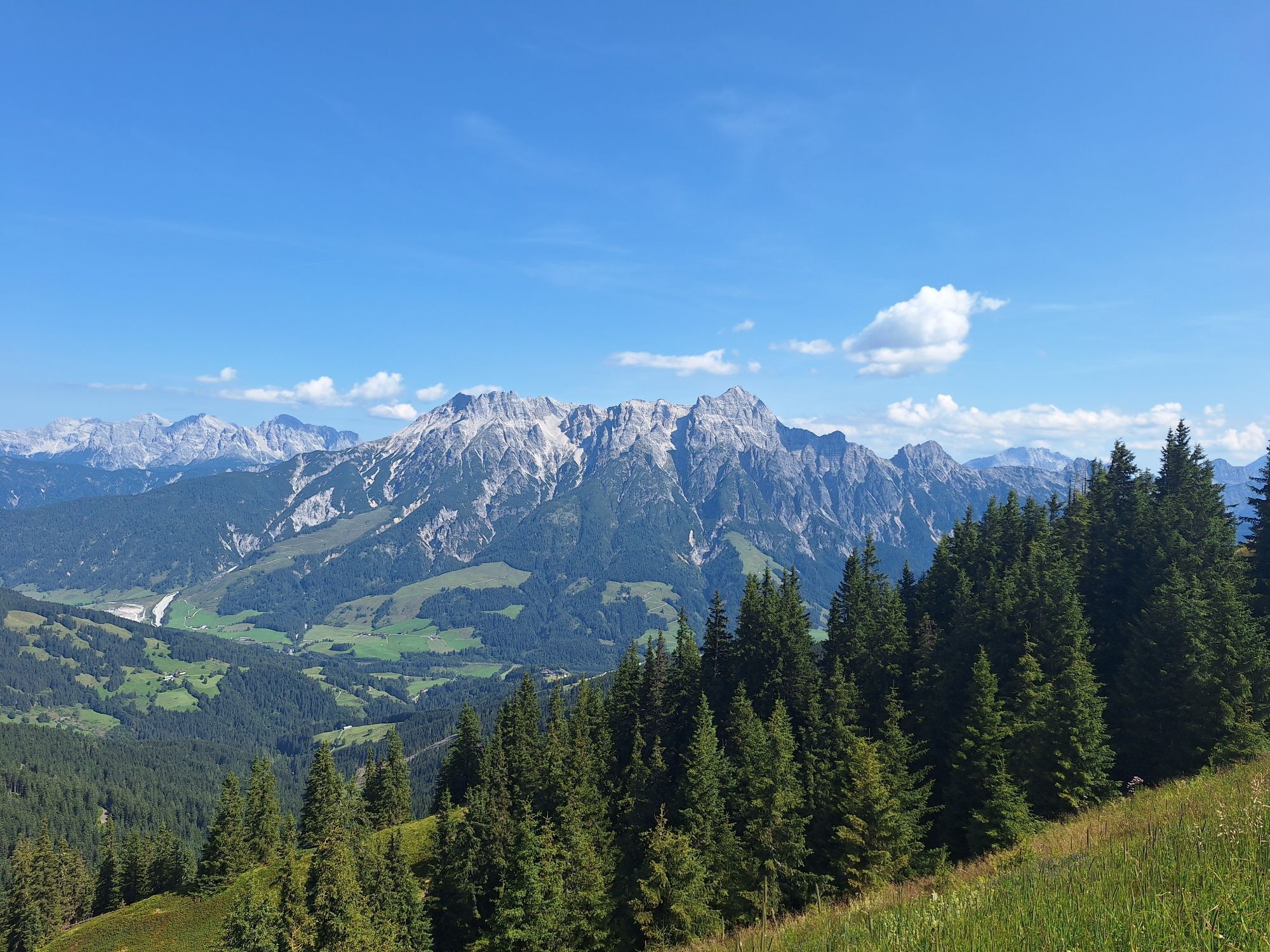


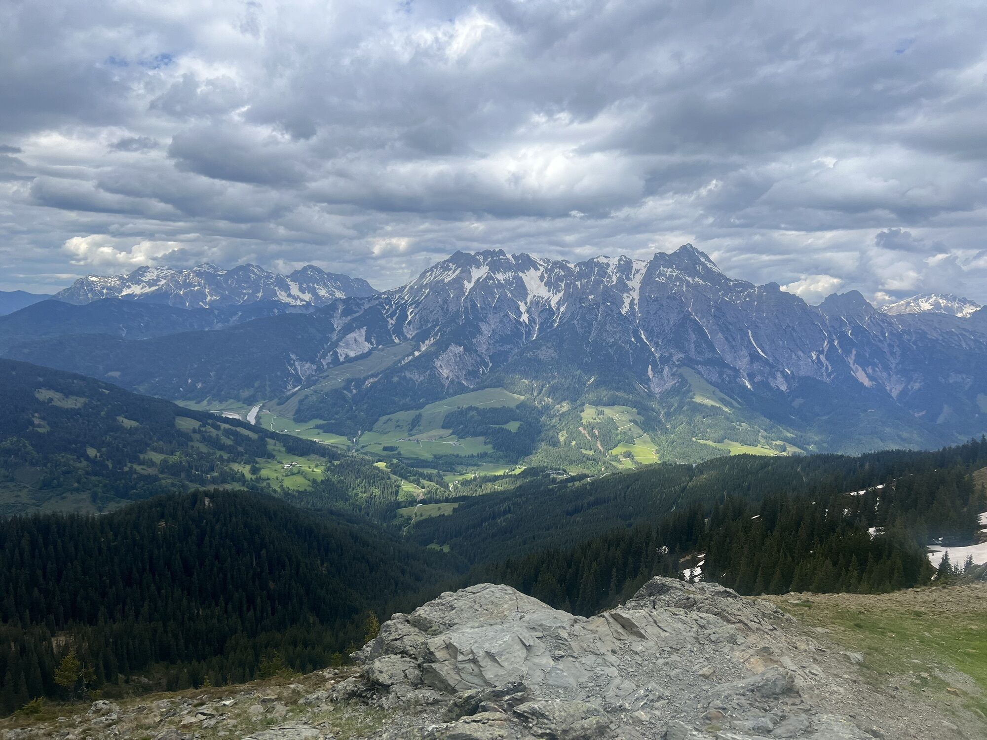

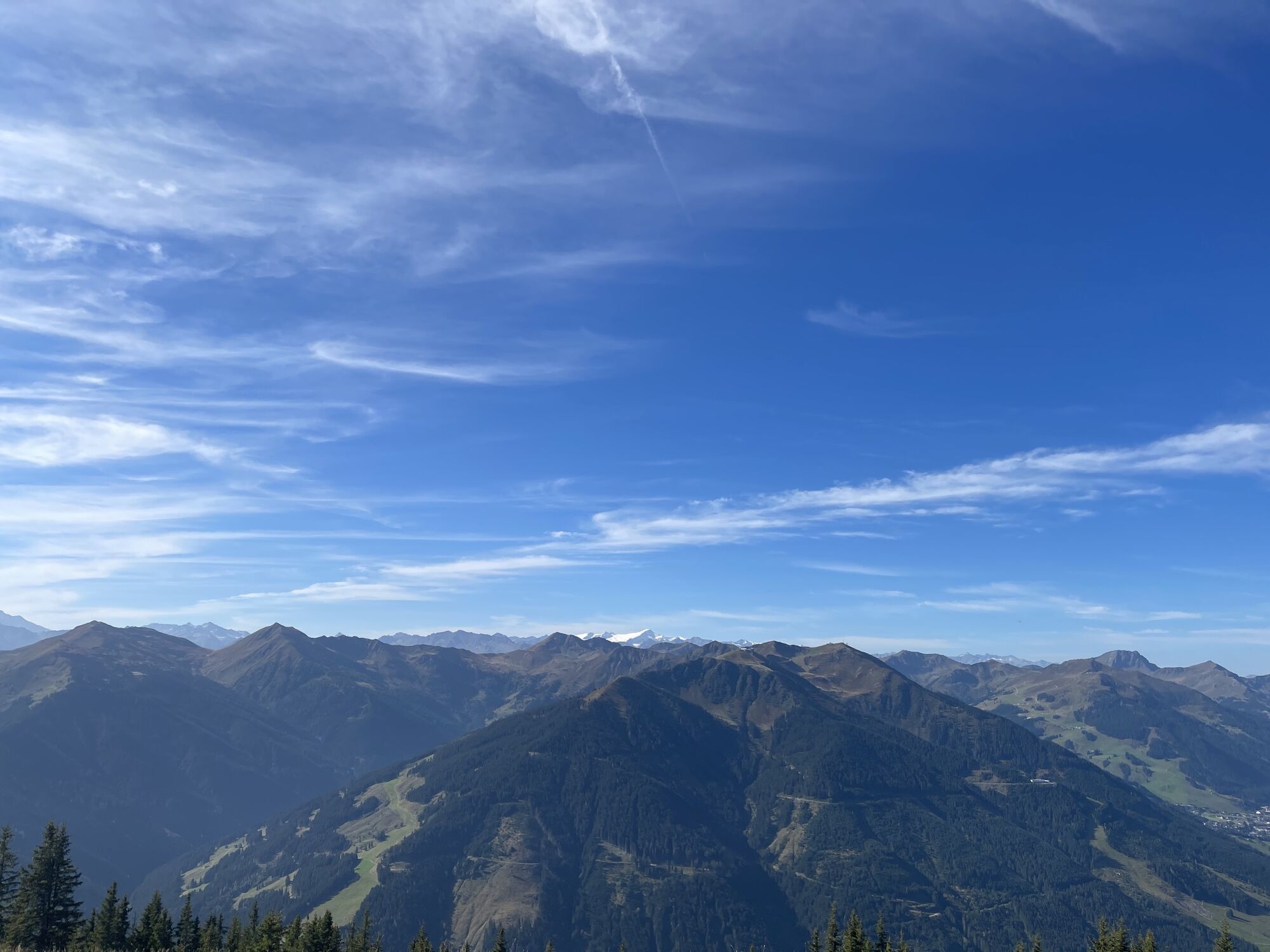


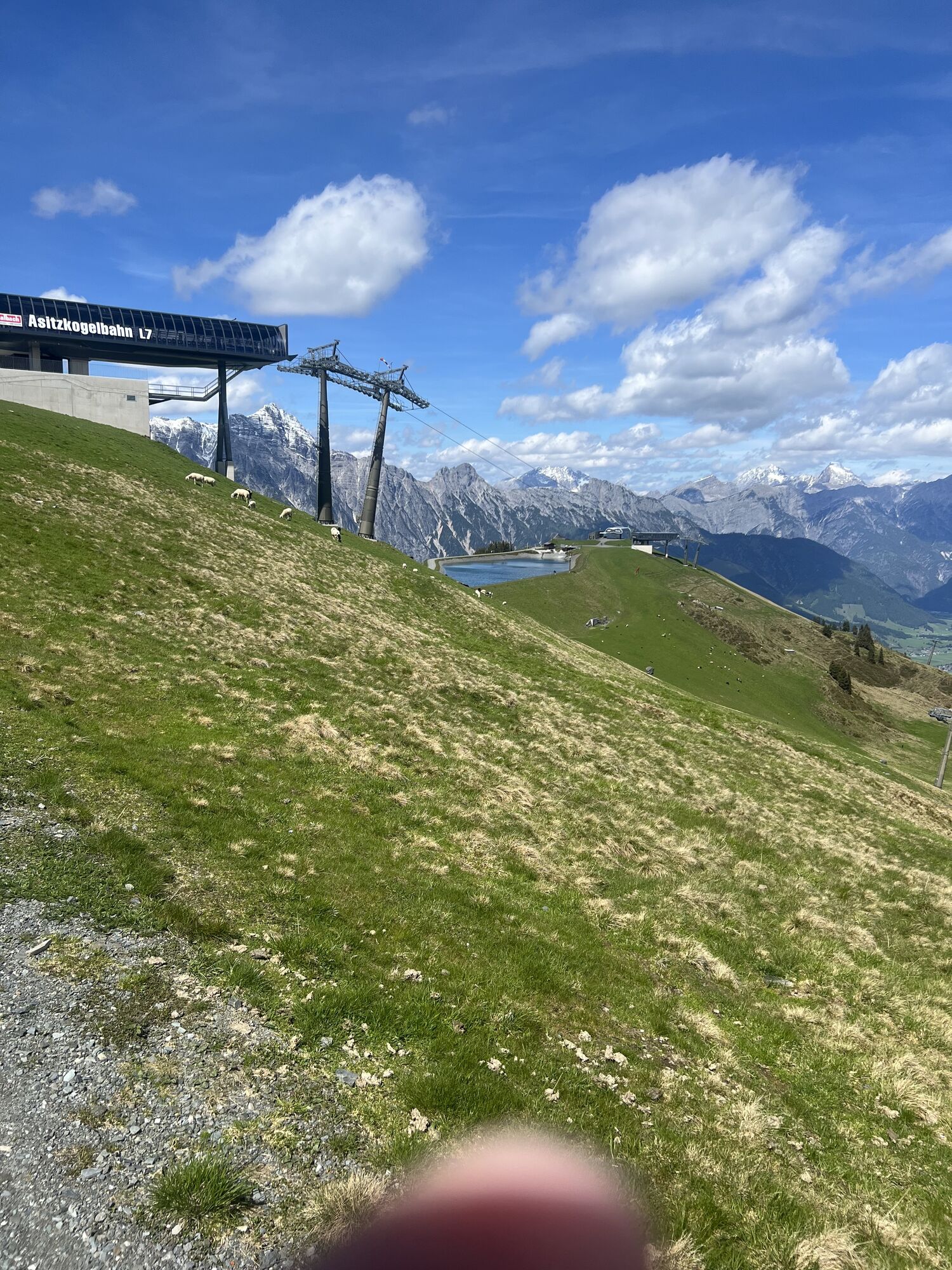


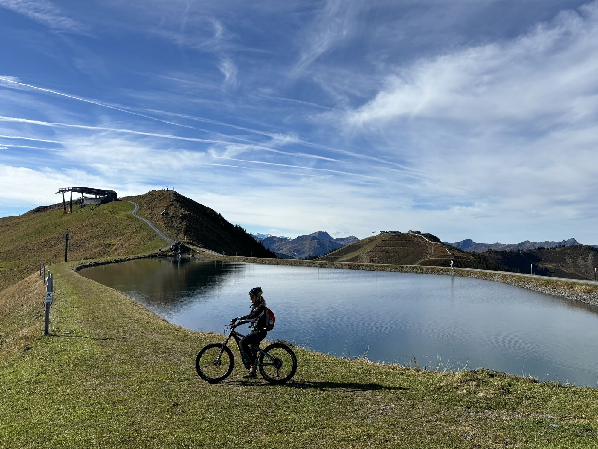
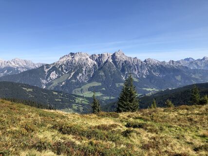
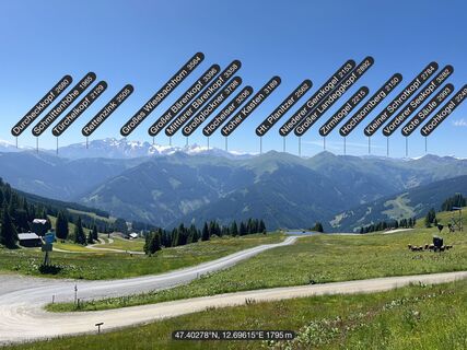
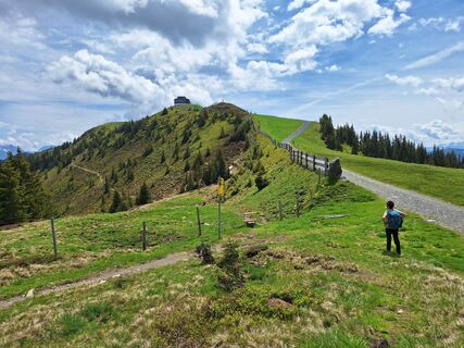
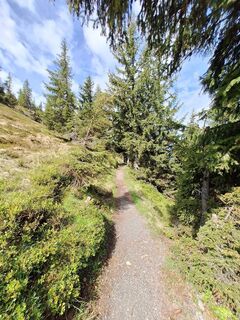
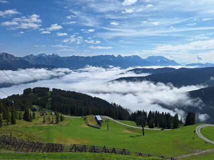
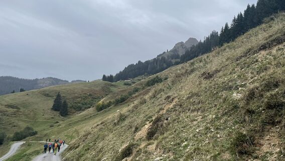
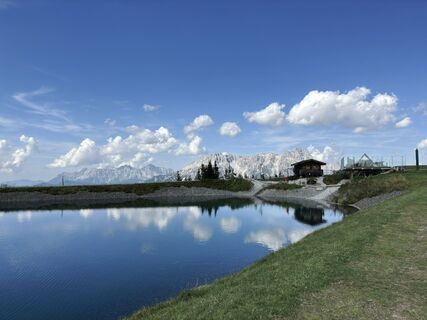
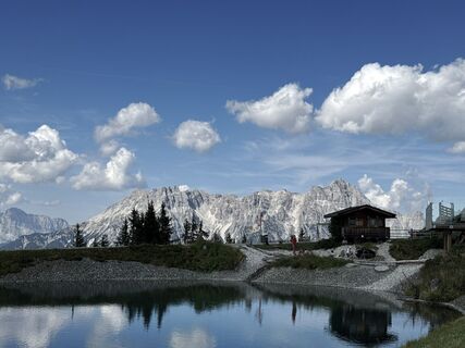
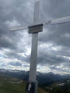
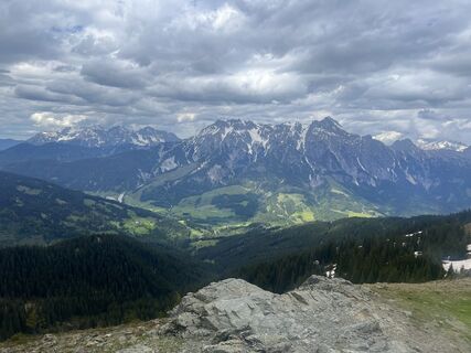
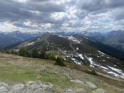
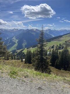
The western part of the Saalachtal high trail is a beautiful multi-hour hike over mountain ridges, through alpine meadows and down into the Leogang Schwarzleotal. Due to its length, it is ideal for a day...
The western part of the Saalachtal high trail is a beautiful multi-hour hike over mountain ridges, through alpine meadows and down into the Leogang Schwarzleotal. Due to its length, it is ideal for a day trip. The gentle slopes, however, make it the perfect hiking trail for young and old.

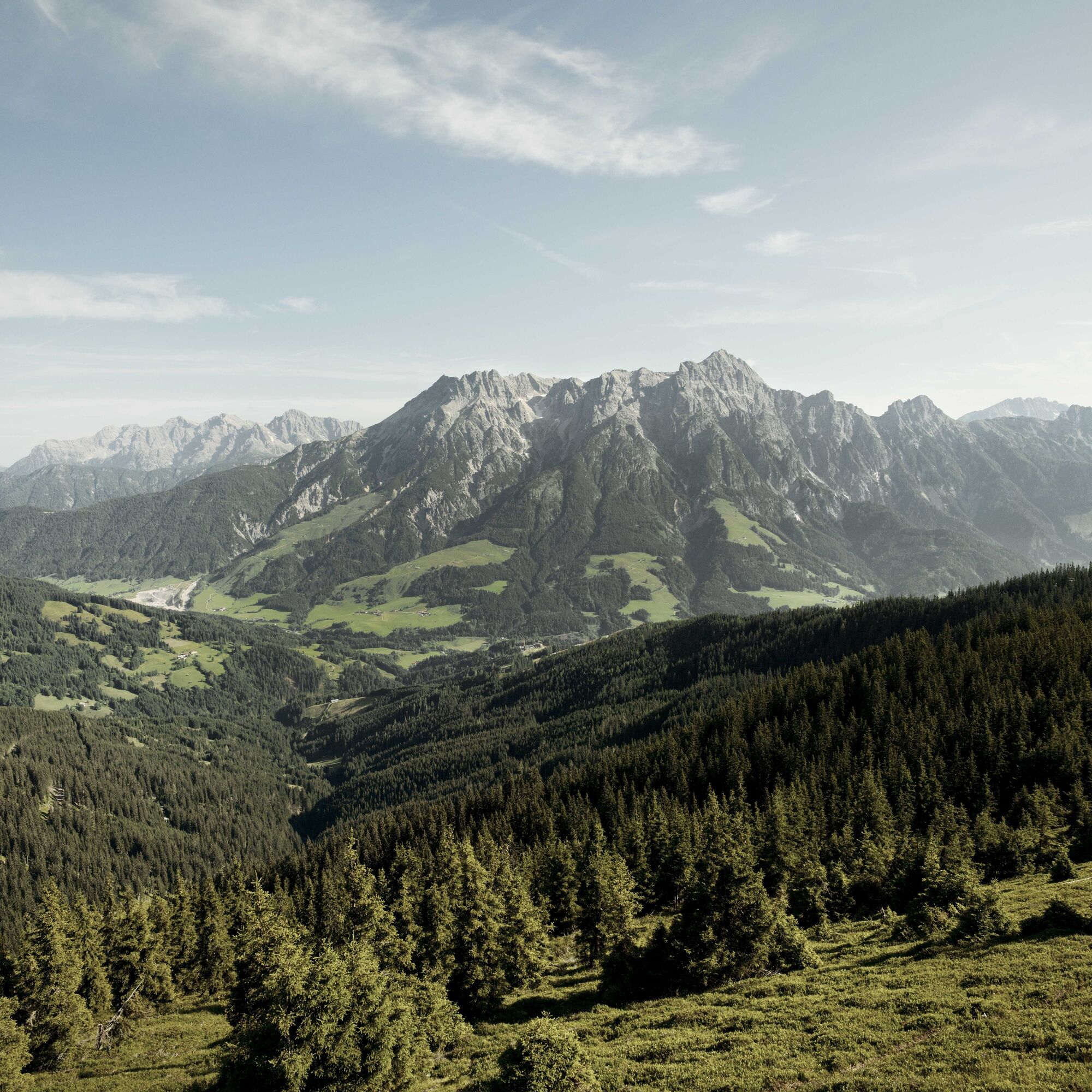
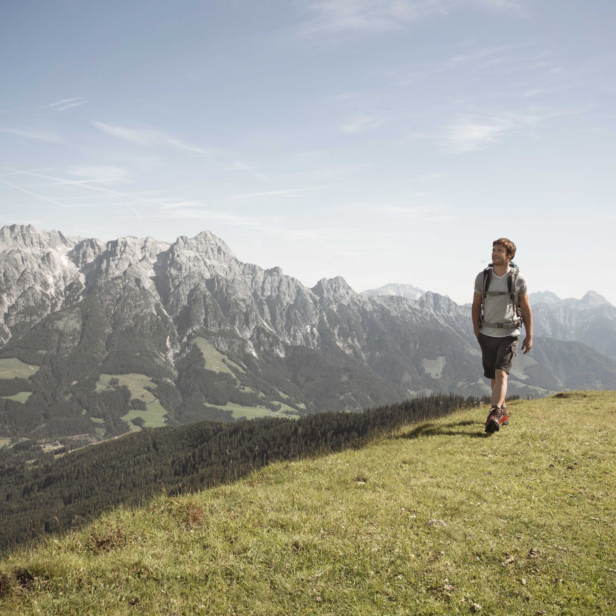
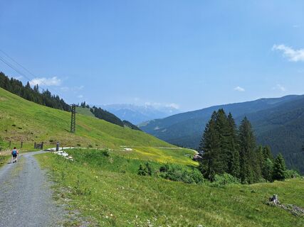
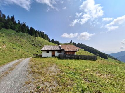
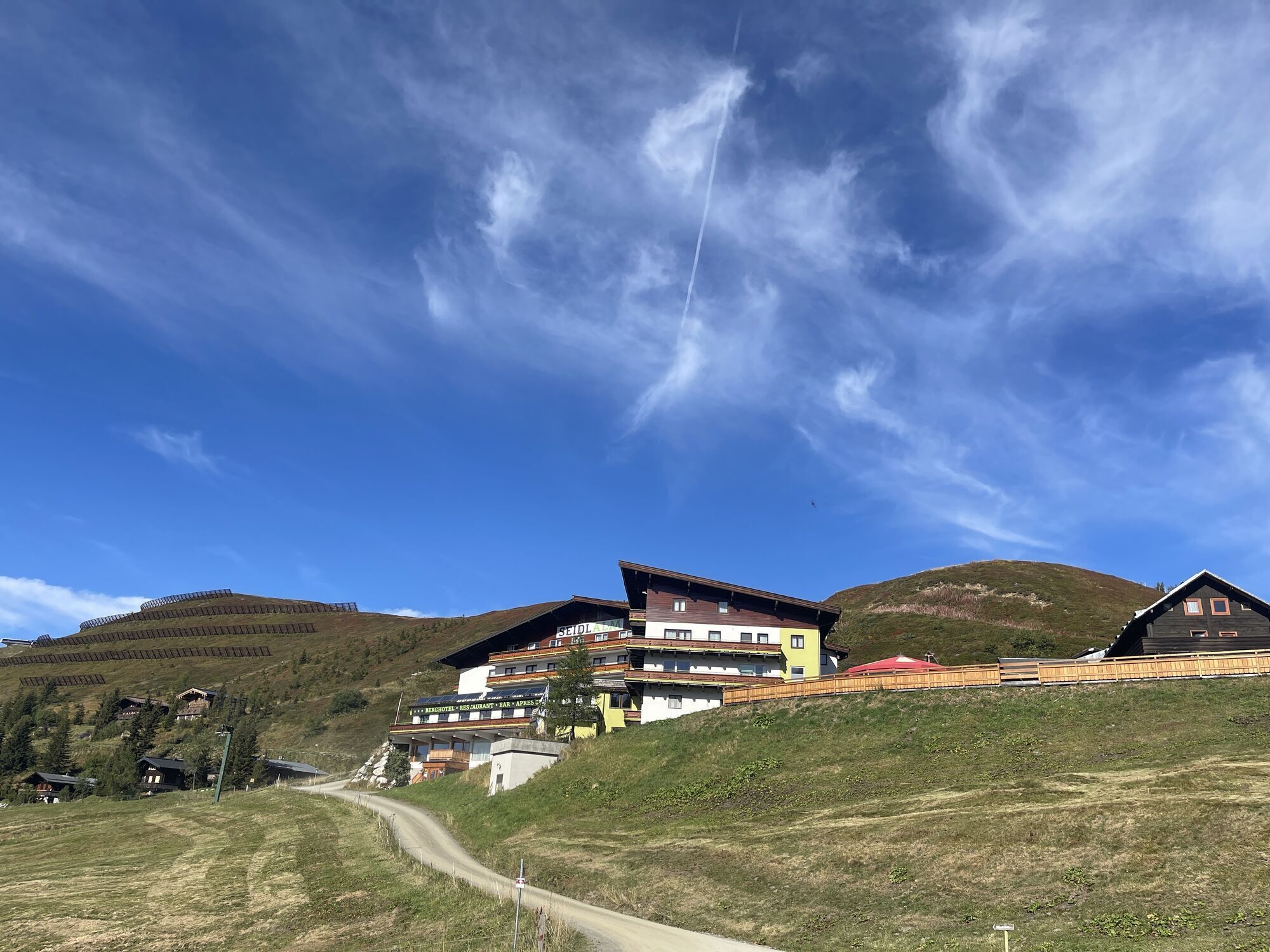
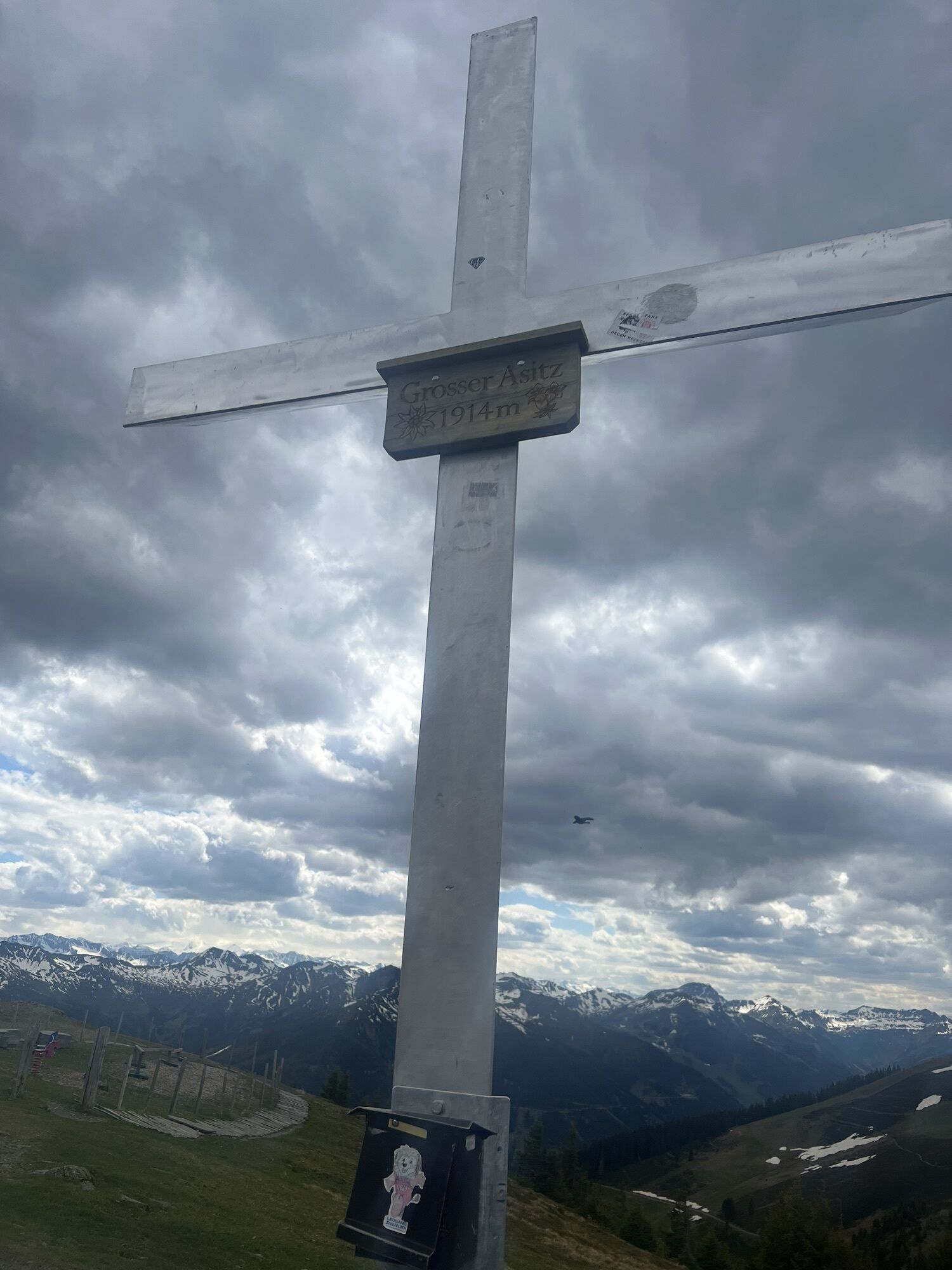
The hike starts at the mountain station of the Asitz or Steinberg cable car. From the mountain station head west towards the small Asitz and continue to the large Asitz. From here continue west over the Schönleiten hut and the Seidlalm to the Barnkogel. Then continue over the Spielbergtörl further to the Spielbergalm. The last stage leads back down to the valley to the Knappenstube "Unterberghaus" in the Leogang Schwarzleotal.
Ja
Ja
Ja
Sturdy footwear, daypack, map material, sufficient water / snacks
BY CAR
From Saalfelden or St. Johann in Tirol via B 164 to Leogang. The valley station of the Asitz cable car is about 4 km from the town center in the direction of Hochfilzen. From here you take the Asitz cable car to the mountain station and start the hike there.
Return journey: From the Knappenstube "Unterberghaus," the valley station of the Asitz cable car can be reached either by taxi (approx. 12 min) or on foot (approx. 50 min).
Tip: or book the Loigom-Soifen shuttle at +436649271464
BY TRAIN
You can enjoy your vacation from the start by train. No traffic jam keeps you from coming to Saalfelden Leogang! Furthermore, the ÖBB timetable helps you quickly and easily find the ideal train connection to Leogang station: www.oebb.at (walking distance to the starting point approx. 30 minutes)
BY BUS
The starting point at the valley station of the Leogang Asitz cable car can be reached by Postbus from the town center Saalfelden or Leogang. From the bus stop "Leogang Asitzbahnen," the starting point is reachable on foot within a few minutes. More information can be found at https://fahrplan.salzburg-verkehr.at/
Parking spaces are available at the valley station of the Asitz cable car (Hütten 39, 5771 Leogang)
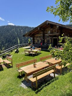
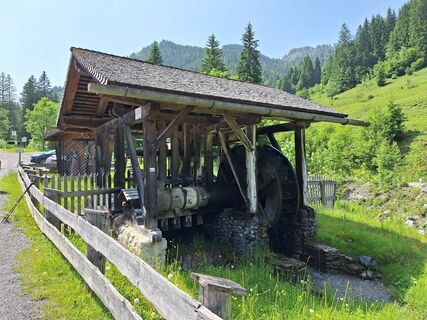
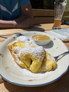
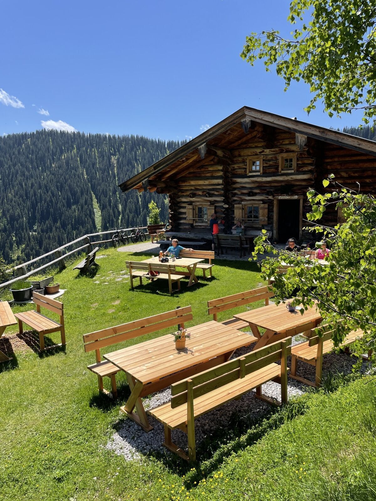
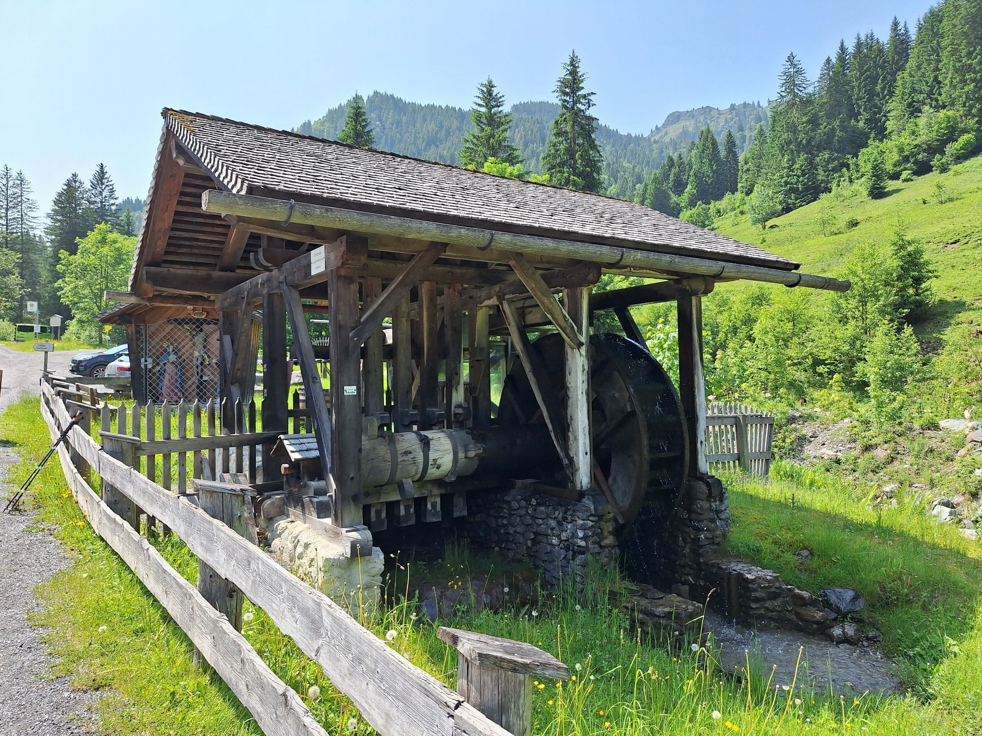
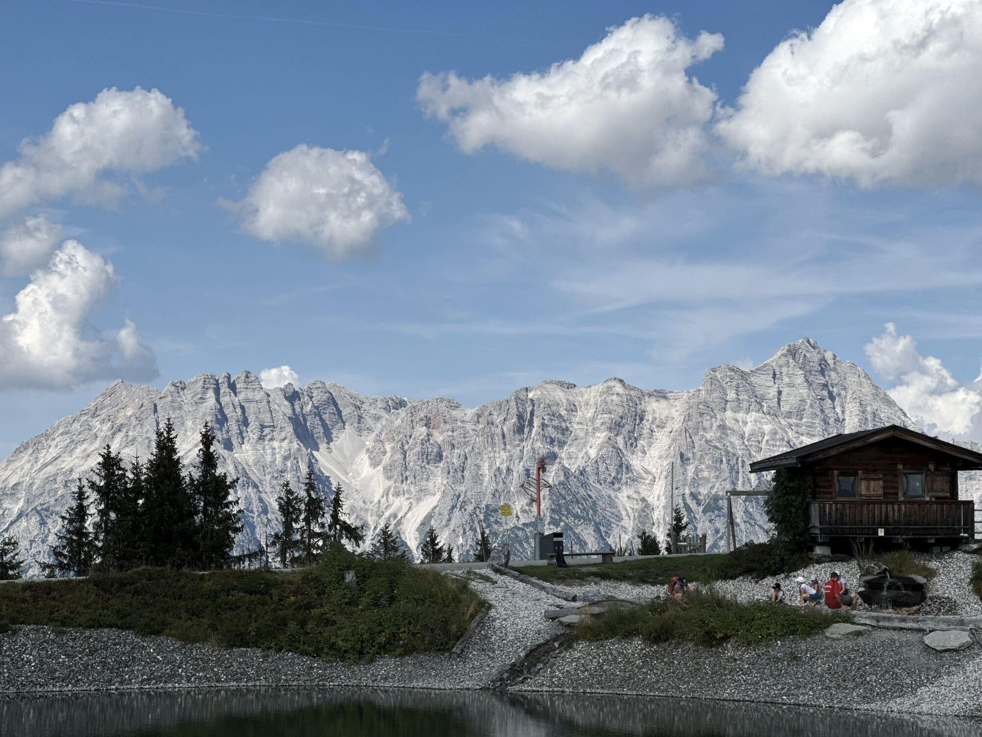
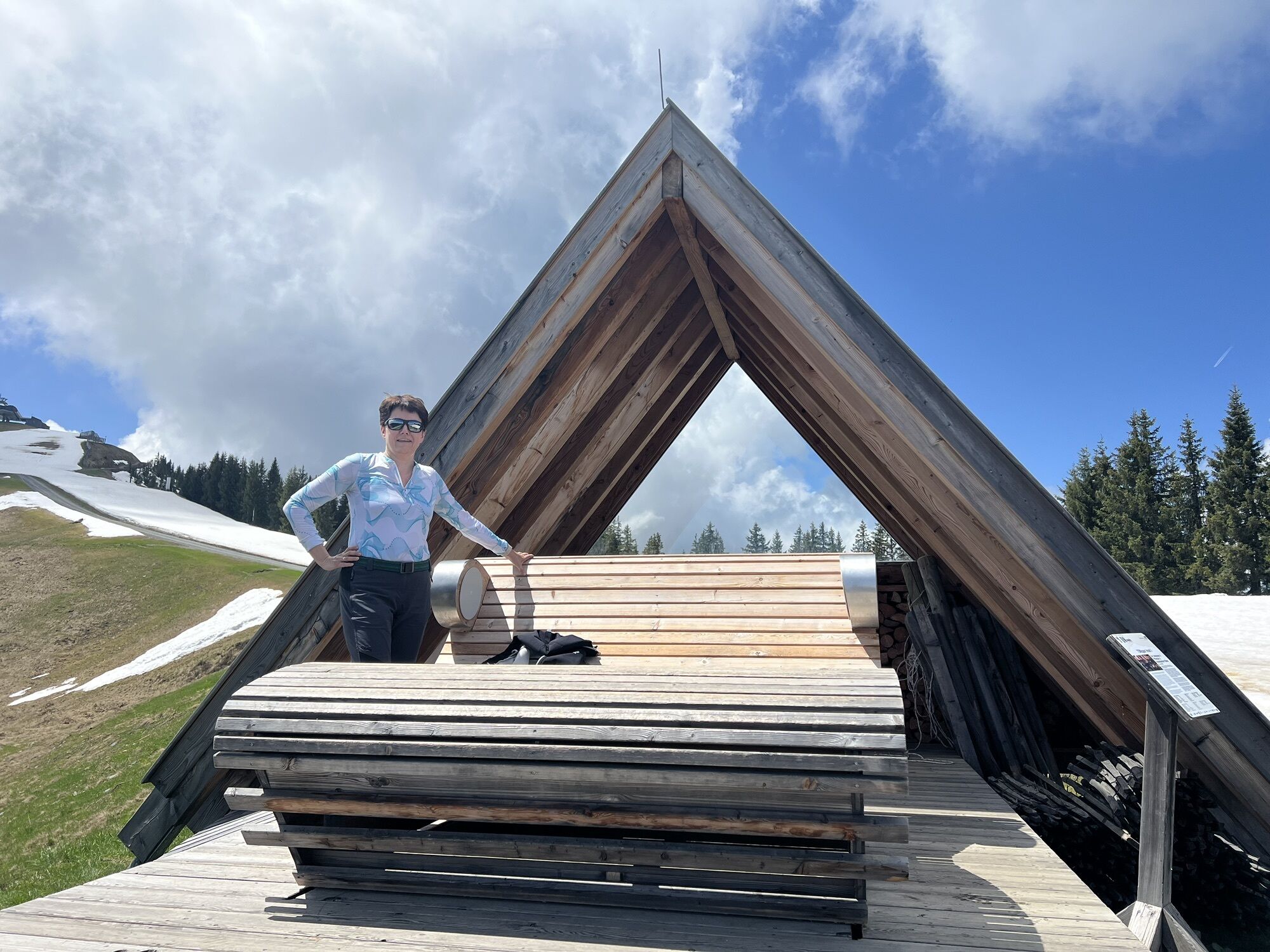
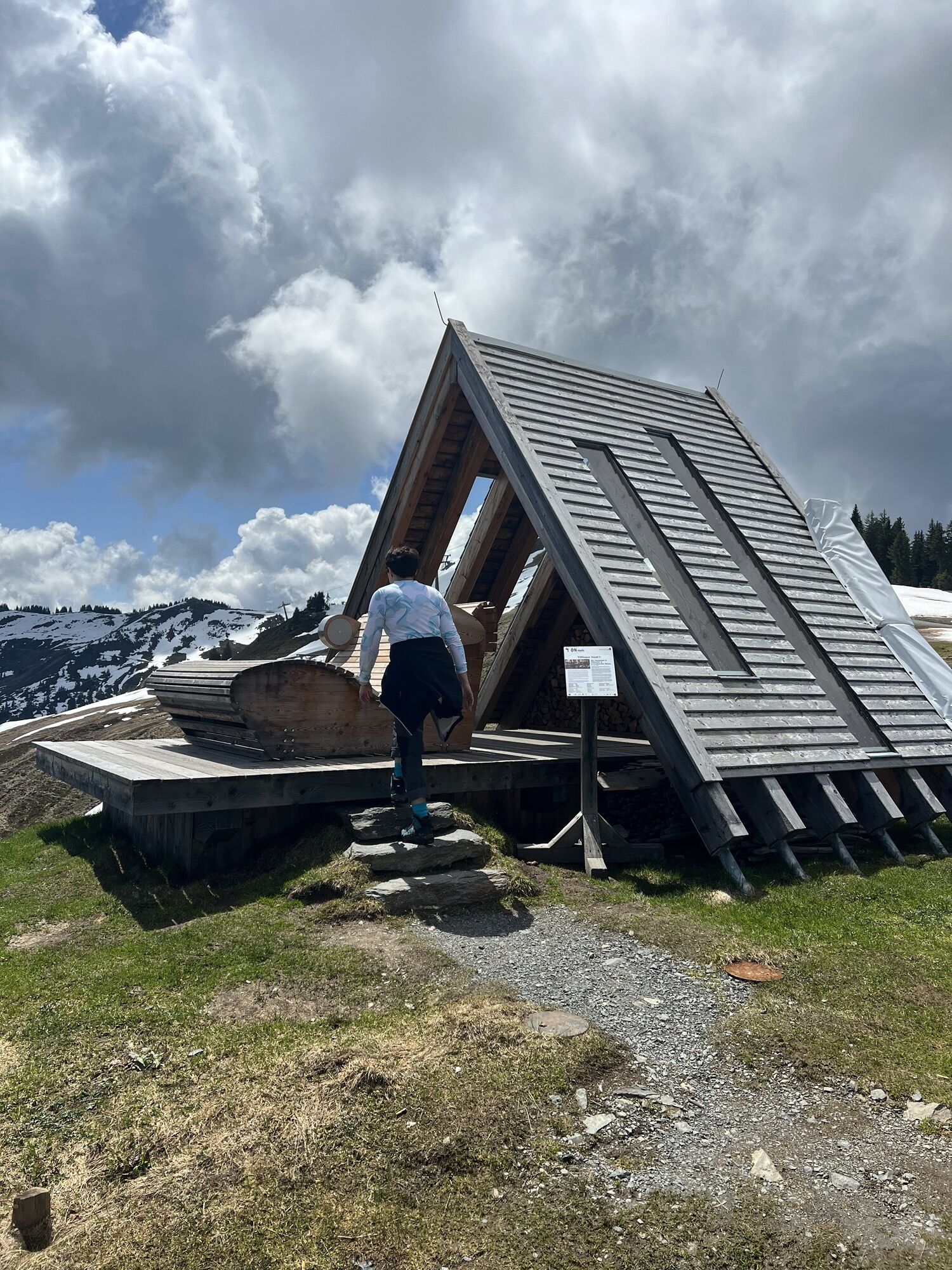
Places to eat: Alte Schmiede, Asitzbräu, Spielbergalm and Unterberghaus
A snack for the break
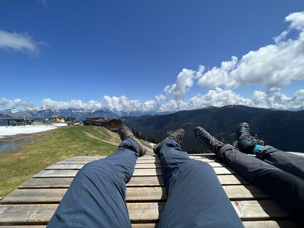
Along the Saalachtal high trail, numerous spots invite you to take a break in the open air. Regional products brought along taste particularly good up here!
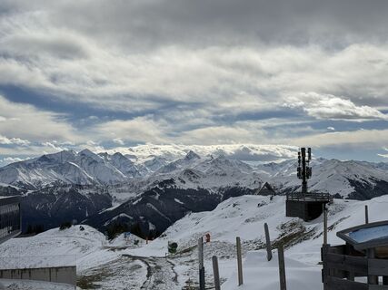
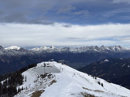
Webkameraer på turen
-
Asitz Gipfel
-
Berghotel Seidl-Alm
-
Hinterglemm Dorf
-
Asitz Mittelstation
-
Kohlmais Tal
-
Asitz Bergstation
-
Asitz Talstation
-
Saalbach
-
Leogang
-
Großer Asitz / Gipfelkreuz
-
Wildenkarkogel
-
Saalbach - Alpinresort Sport & Spa
-
Talstation Asitzbahn
-
Leogang - Grosser Asitz
-
zellamseeXpress
-
Saalbach-Hinterglemm - Reiterkogel
-
Wohlfühlhotel-Johanneshof
-
Eberharthof - Saalbach-Hinterglemm
Populære ture i området
-
4.7
Tristkogel
tungVandring 15.6 km -
4.5
Birnbachloch Leogang, Österreich
MediumVandring 5.18 km -
4.3
Peter-Wiechenthaler Hut
MediumVandring 4.32 km -
4.1
Passauer Hütte
tungVandring 4.14 km -
4.6
Steinalm
lysVandring 2.71 km -
4.4
Birnbachloch
MediumVandring 6.40 km -
5.0
Leoganger SOUTH
tungVia ferrata 4.08 km -
4.2
Spielbergalmen
MediumVandring 10 km -
5.0
Manlitzkogel
tungVandring 13.4 km -
4.6
Wanderung auf die Peter-Wiechenthaler-Hütte
MediumVandring i bjerge 4.02 km
Vandring og sporing


Gå ikke glip af tilbud og inspiration til din næste ferie
Din e-mailadresse er blevet tilføjet til mailinglisten.