


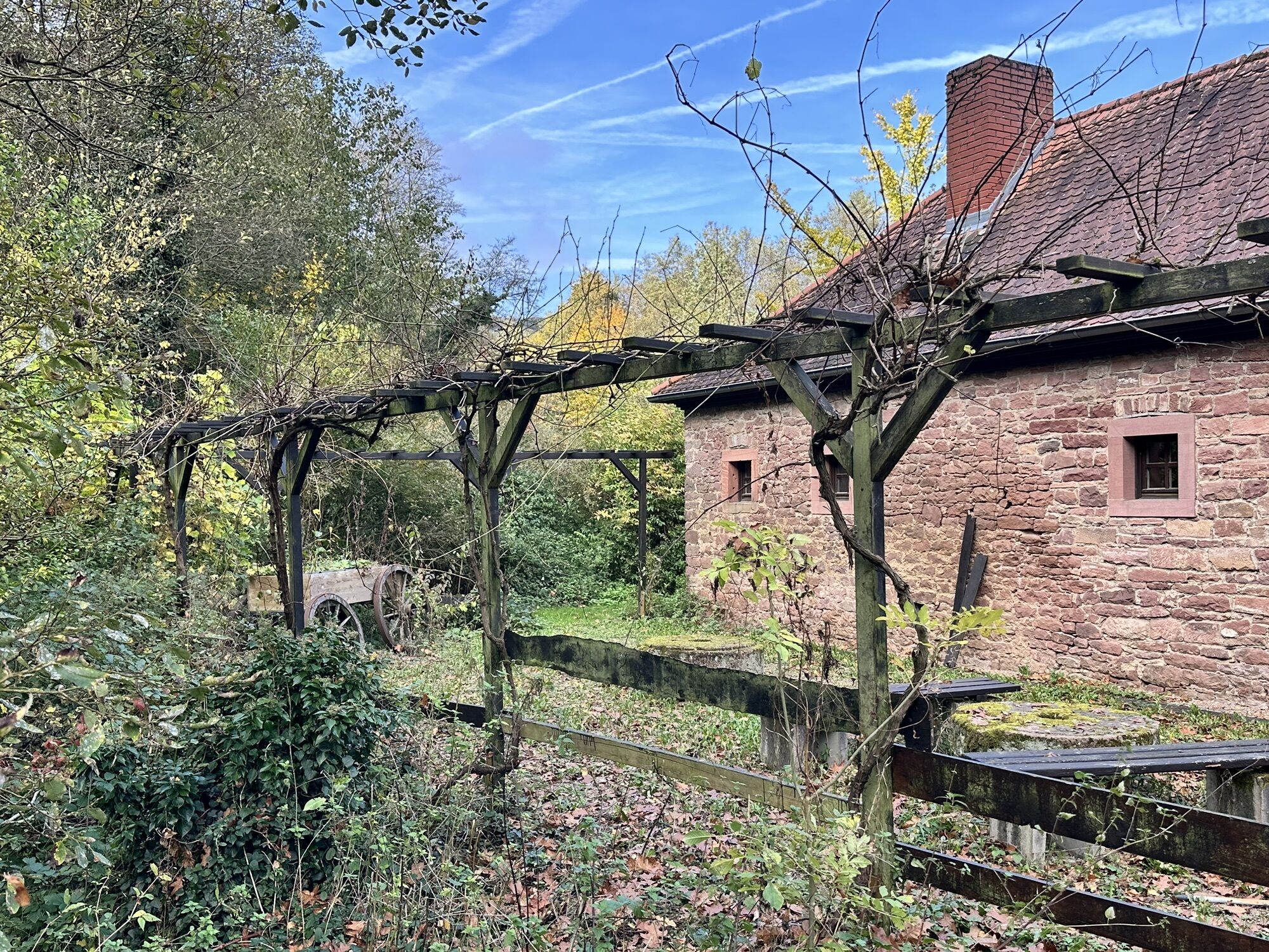

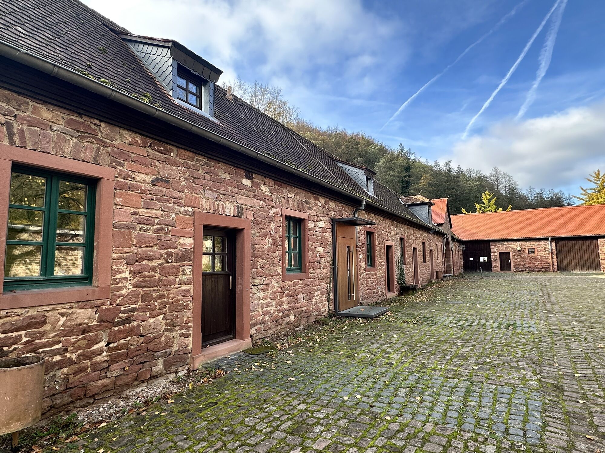
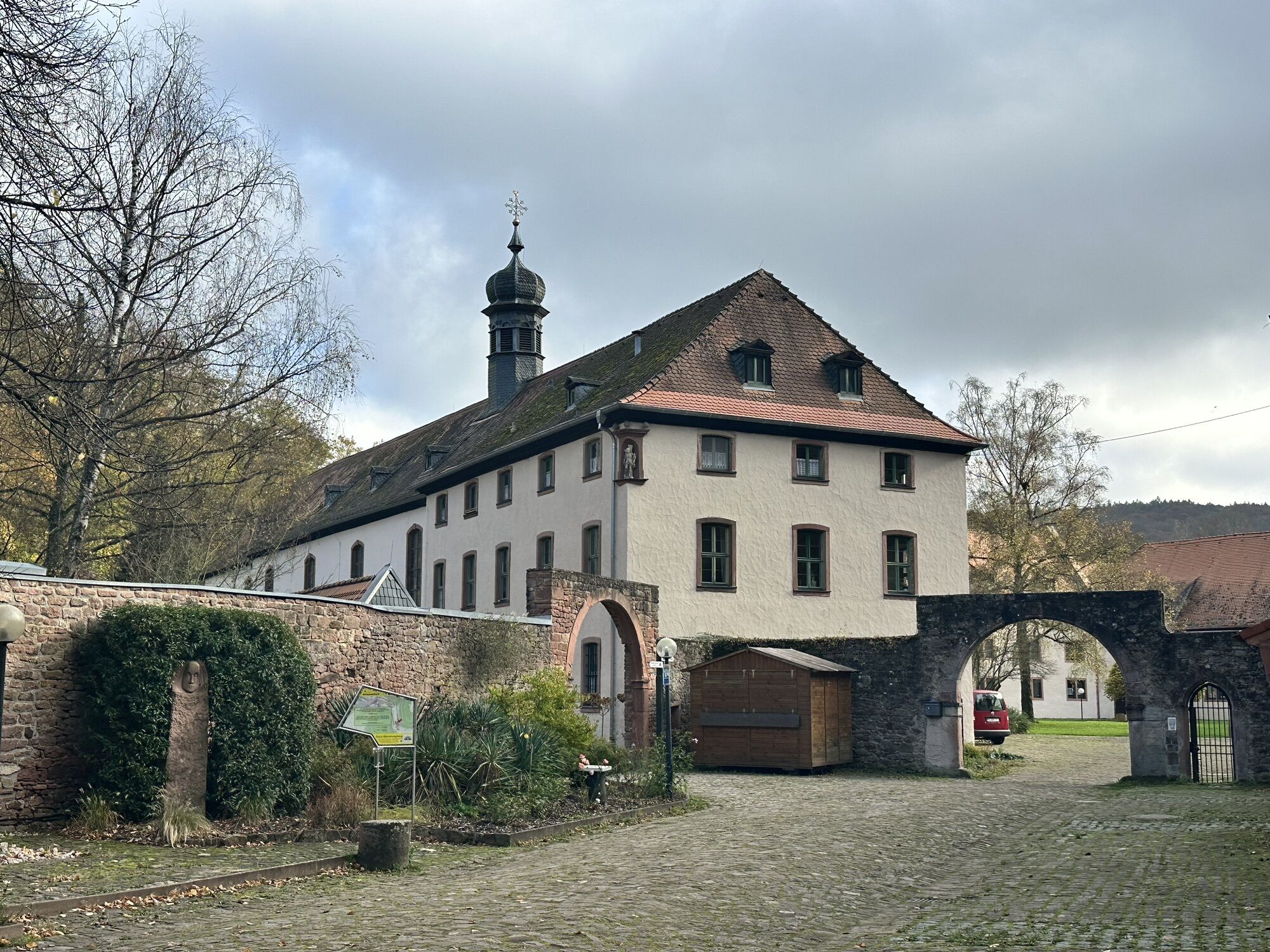


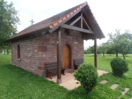
You follow the "Red X" marking and the Franconian Marienweg through the village to the "Sommerauer Weg" signpost. Continue straight on the Franconian Marienweg towards Himmelthal, passing a Marian chapel to Himmelthal Monastery. After crossing the Elsava, leave the Franconian Marienweg at the "Himmelthal Ost" signpost, turn right there and follow the Franconian Red Wine Hiking Trail through the monastery courtyard. The path leads you past Rück over the vineyards to the Übergang Weinberg parking lot. You now follow the "Red X" marking to the right past the garages, through the forest up to Eichelsbach. Before entering the village, you will meet the "Sommerauer Weg" signpost again, where you turn left following the "Red X" to the starting point.
A3 to the Stockstadt exit, then continue on the B469 towards Miltenberg to the Elsenfeld exit, then continue towards Eichelsbach.
Take the train from the direction of Aschaffenburg or Miltenberg to the Obernburg-Elsenfeld stop. Then continue by bus No. 69 towards Eichelsbach, stop Eichelsbach Mitte.
Parking facilities Elsenfeld district Eichelsbach, Eichelsberghalle
Populære ture i området
-
5.0
Kulturweg Niedernberg: Blechkatzen im Honischland
Vandring 10.2 km -
3.0
Elsenfeld district Rück: Across the vineyards past the Red Cross to Hofstetten, return over the Hochberg to the parking lot
tungVandring 10.6 km -
5.0
Dorfprozelten: Kollenburg-Chapel-Route
MediumVandring 11.8 km -
South Spessart Trail
tungLangdistance-vandresti 60.8 km -
Franconian Mary’s Way in the southern Spessart
MediumLangdistance-vandresti 25.6 km -
Stadtprozelten: Nature and Stone Monuments - Circular Route 2
MediumVandring 11.5 km -
Elsenfeld: To Hofstetten via Hochberg and the Rücker vineyards back to the car park
tungVandring 11.1 km -
Elsenfeld OT Schippach: From Schippach through the Rück vineyards to Elsenfeld, over the Elsava and back to the parking on the forest path.
MediumVandring 8.41 km -
Elsenfeld OT Rück: Along the Rück vineyards to Elsenfeld, over the Elsava and via the forest path back to Schippach to the parking lot.
MediumVandring 8.40 km -
Buntsandsteinweg Etappe 4 - Kirschfurt-Collenberg
MediumVandring 8.61 km

Vandring og sporing


Gå ikke glip af tilbud og inspiration til din næste ferie
Din e-mailadresse er blevet tilføjet til mailinglisten.