


Billeder af vores brugere
-
 © Daniel SchulzeOprettet den 28.09.2023
 -
 © Ilona SchusterOprettet den 10.09.2025
 -
 © Thorsten KlusmeyerOprettet den 10.08.2025
 -
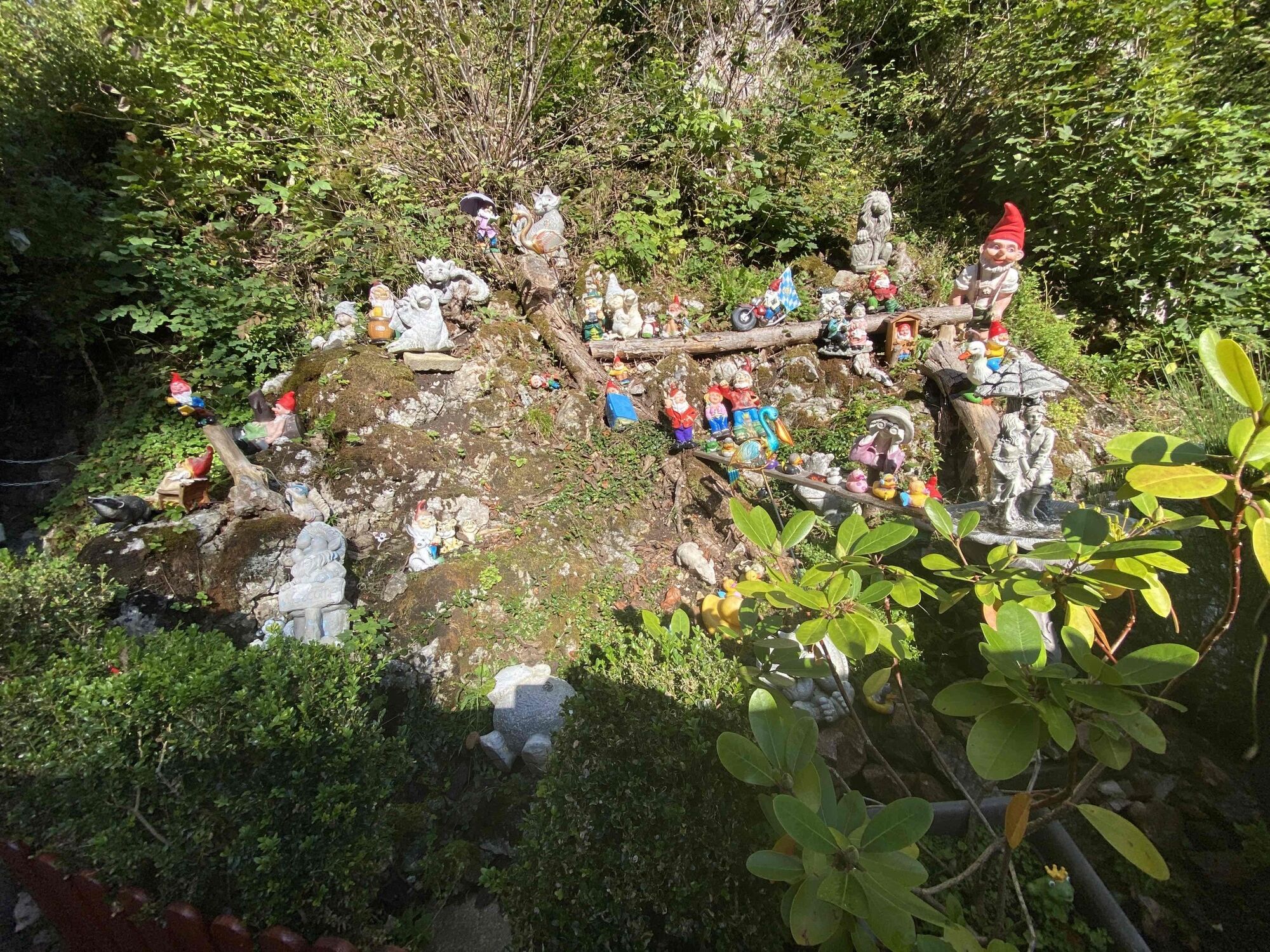
 © GrizzliOprettet den 06.08.2025
 -
 © GrizzliOprettet den 06.08.2025
 -
 © GrizzliOprettet den 06.08.2025
 -
 © GrizzliOprettet den 06.08.2025
 -
 © Rainer KieningOprettet den 11.05.2025
 -
 © Rainer SauterOprettet den 28.04.2025
 -
 © Rainer SauterOprettet den 28.04.2025
 -
 © Rainer SauterOprettet den 28.04.2025
 -
 © Rainer SauterOprettet den 28.04.2025
 -
 © Rainer SauterOprettet den 28.04.2025
 -
 © Kristijan DržajOprettet den 21.04.2025
 -
 © Kristijan DržajOprettet den 21.04.2025
 -
 © Florian GrundOprettet den 01.12.2024
 -
 © Florian GrundOprettet den 01.12.2024
 -
 © Florian GrundOprettet den 01.12.2024
 -
 © Florian GrundOprettet den 01.12.2024
 -
 © Daniel HerzOprettet den 19.09.2024
 -
 © Edit SzoboszlayOprettet den 09.08.2021
 -
 © PerryBOprettet den 06.07.2021
 -
 © AloisiusKOprettet den 29.09.2024
 -
 © AloisiusKOprettet den 29.09.2024
 -
 © Olaf ScheinOprettet den 13.07.2024
 -
 © Daniel SchulzeOprettet den 28.09.2023
 -
 © Daniel SchulzeOprettet den 28.09.2023
 -

 © SussyOprettet den 28.09.2023
 -
 © SussyOprettet den 28.09.2023
 -
 © SussyOprettet den 28.09.2023
 -
 © SussyOprettet den 28.09.2023
 -
 © SussyOprettet den 28.09.2023
 -
 © SussyOprettet den 28.09.2023
 -
 © Thomas LändlsbergerOprettet den 03.11.2022
 -
 © Michael BräuerOprettet den 21.04.2022
 -
 © Michael BräuerOprettet den 21.04.2022
 -
 © Kaiser OberwihlOprettet den 17.06.2025
 -
 © Kaiser OberwihlOprettet den 17.06.2025
 -
 © Cristian Mario RotaOprettet den 22.08.2024
 -
 © lotharkoernerOprettet den 11.06.2023

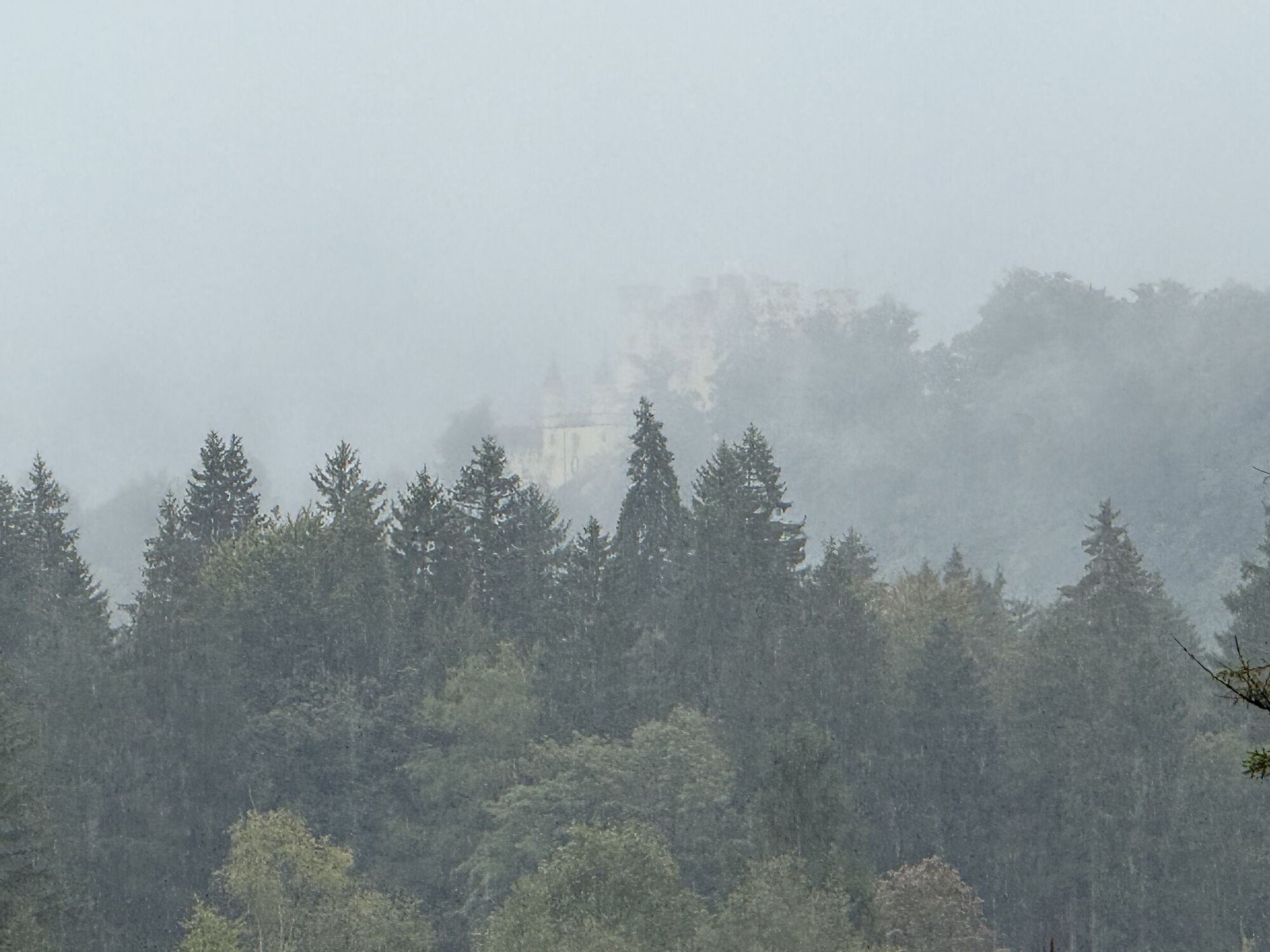

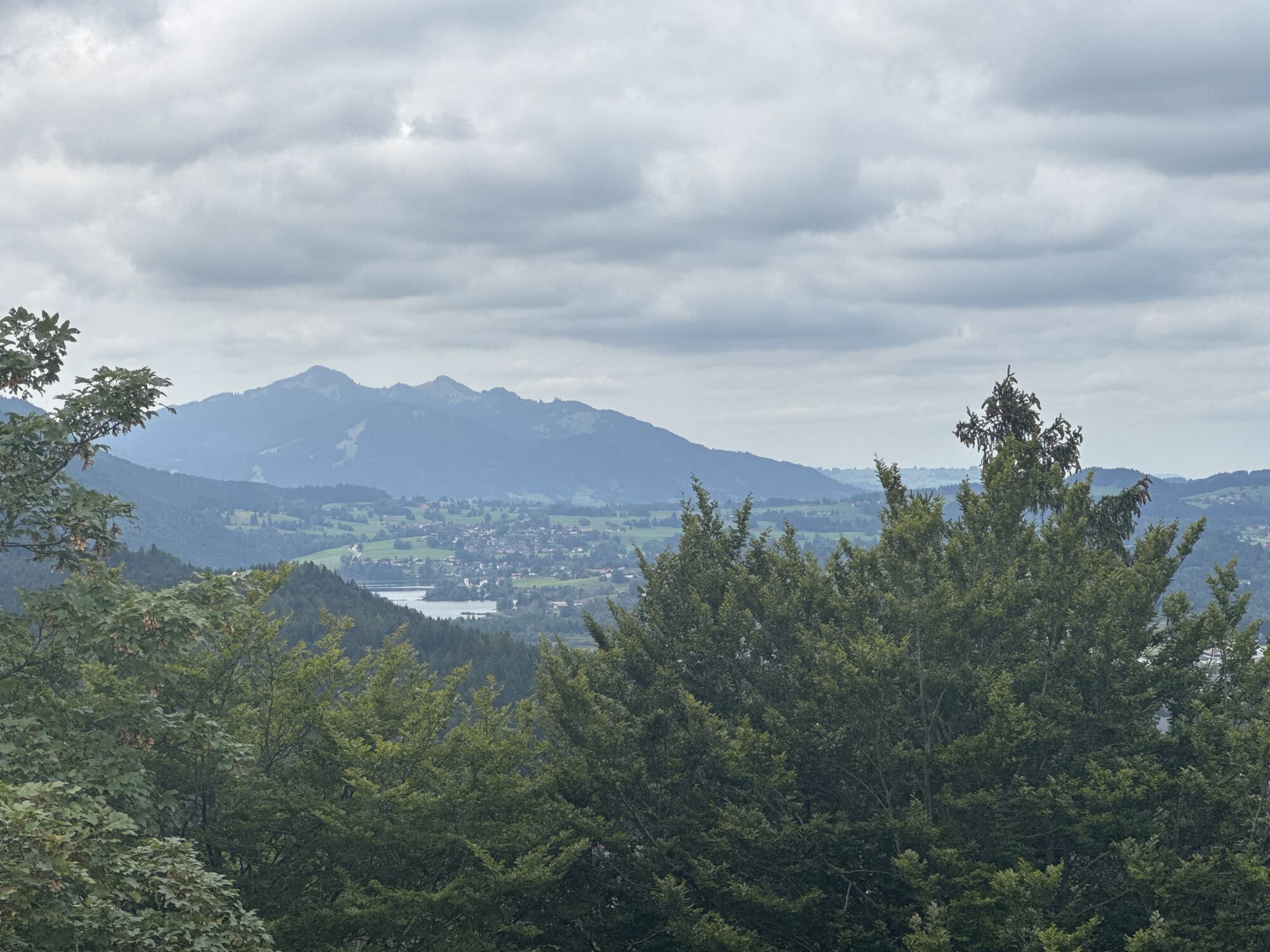
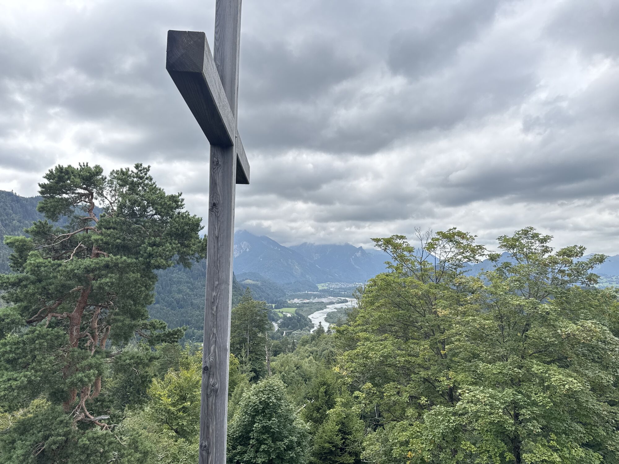
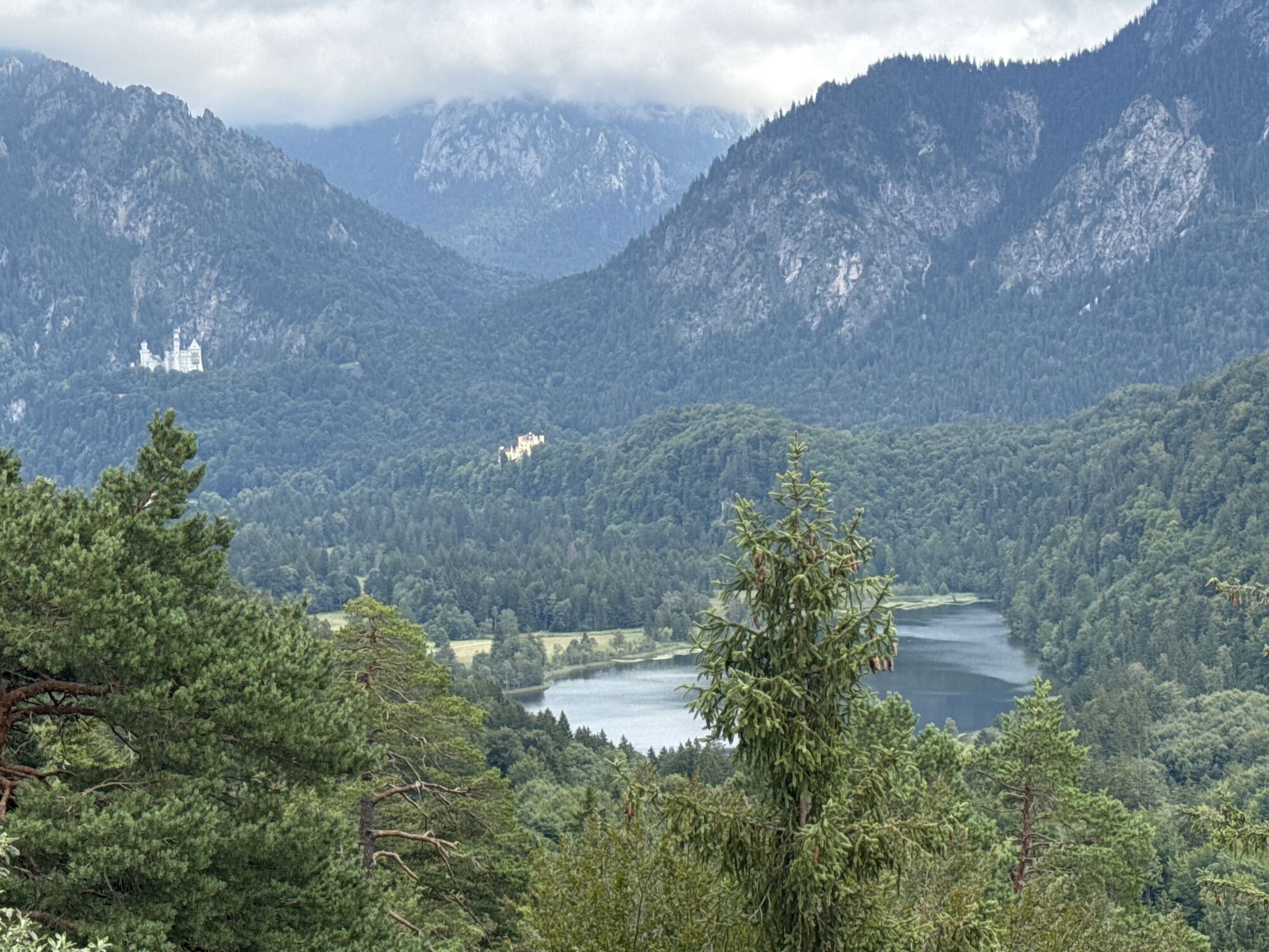
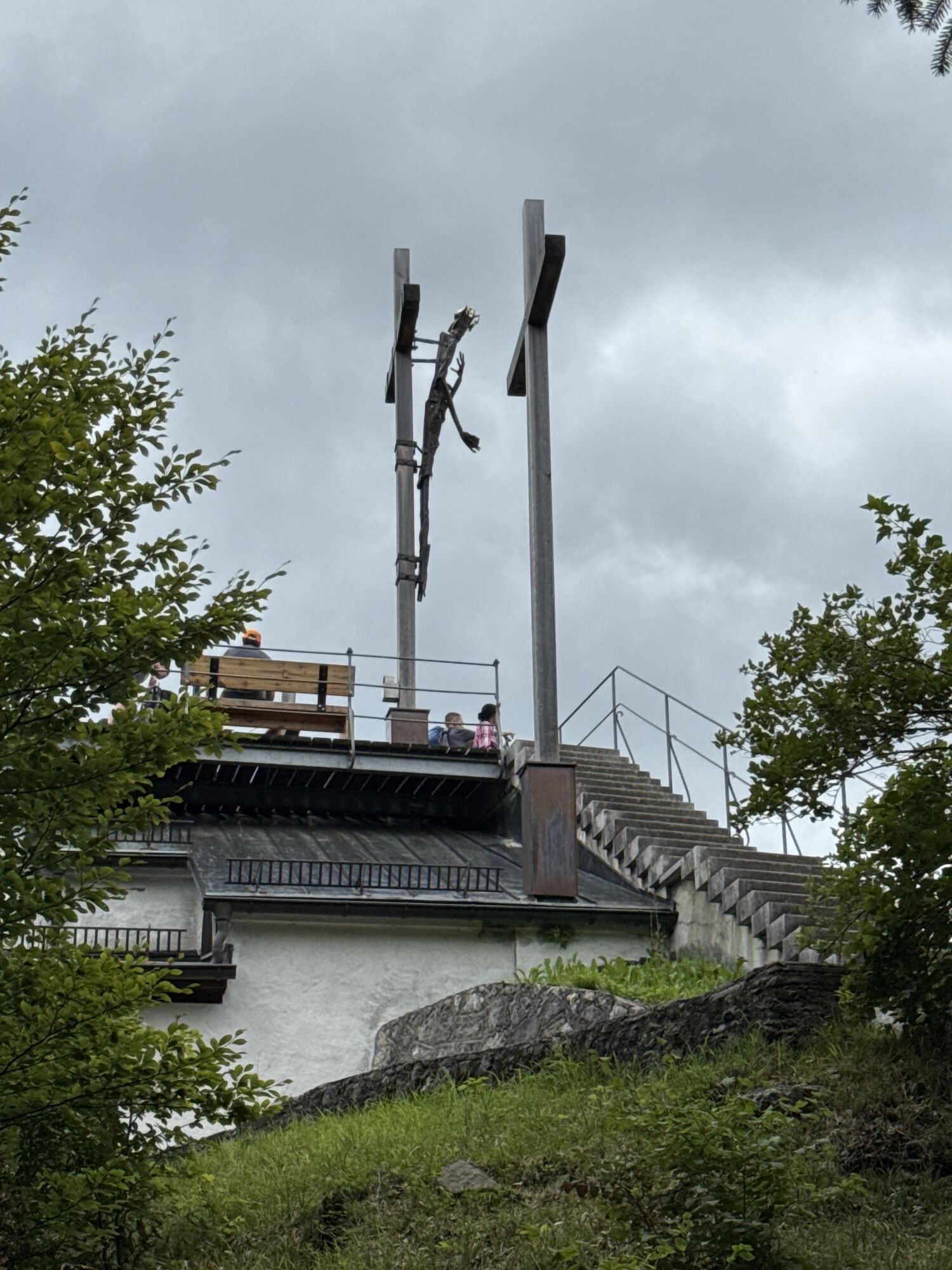
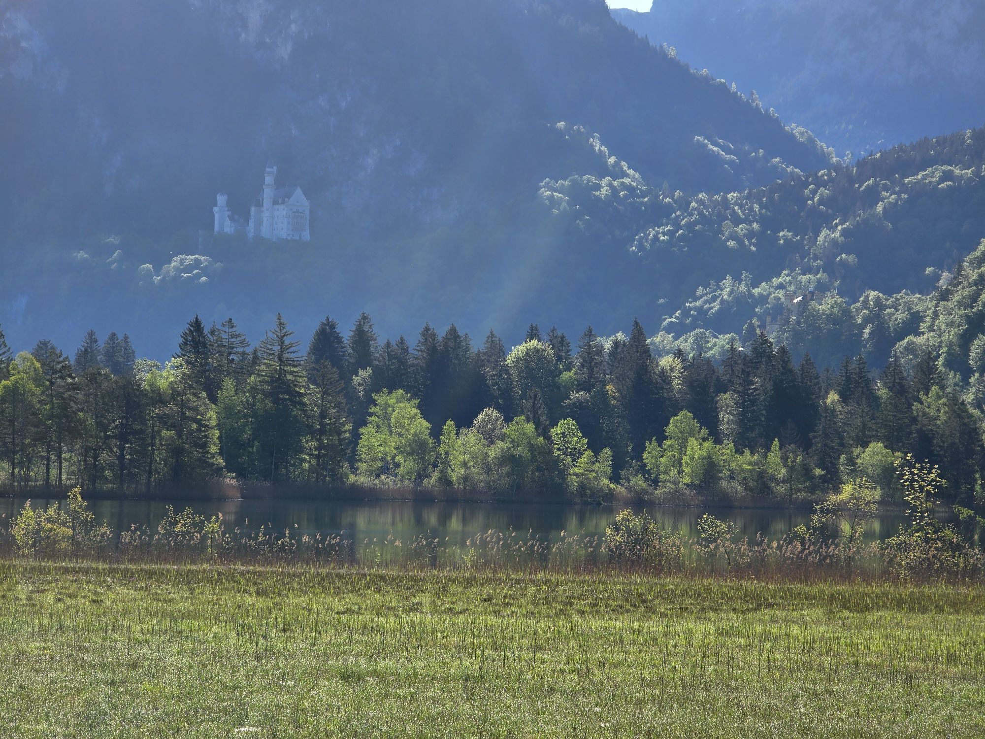
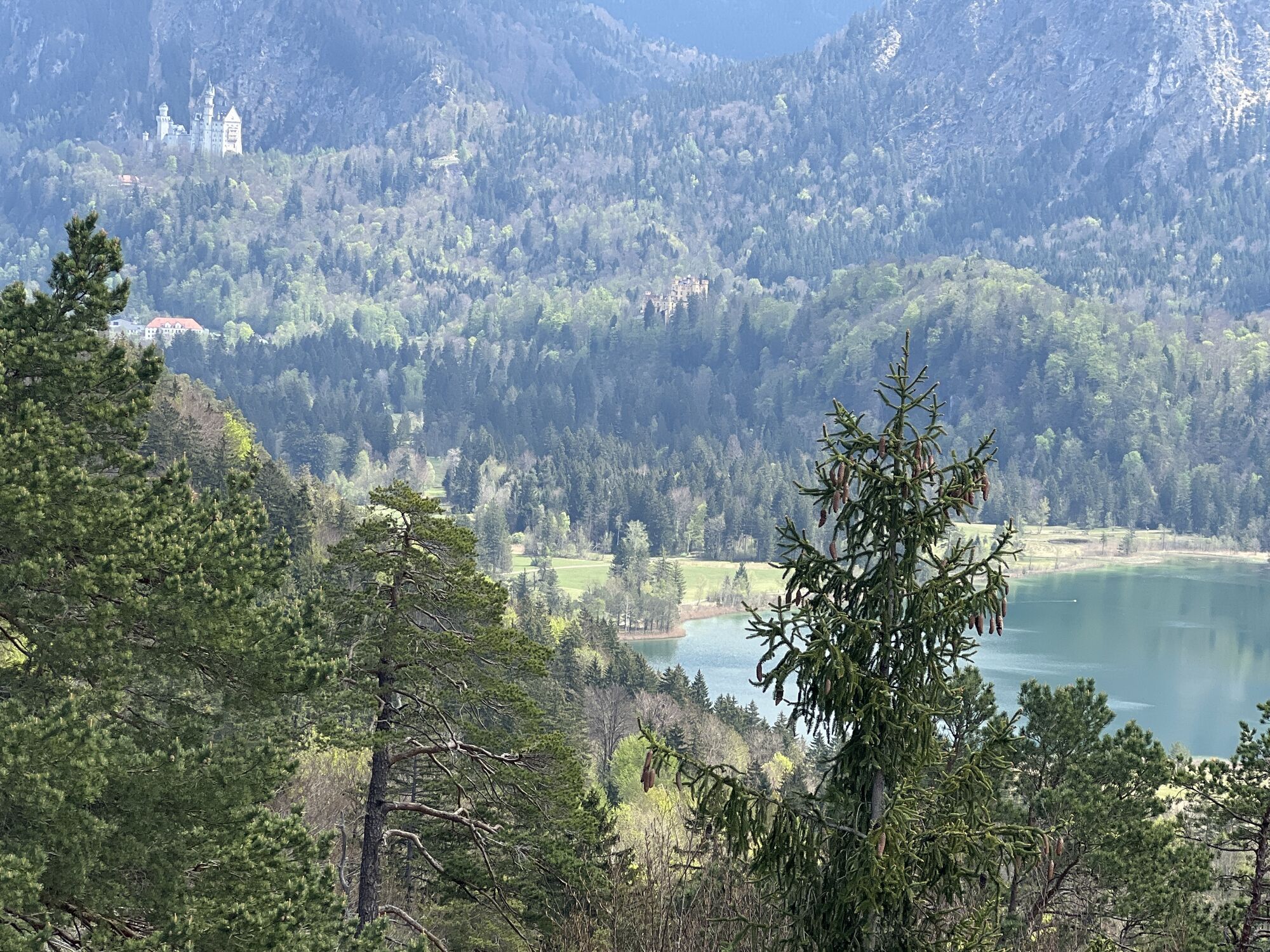

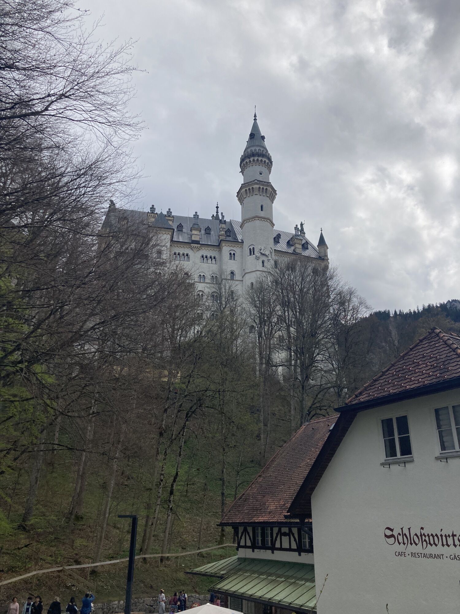


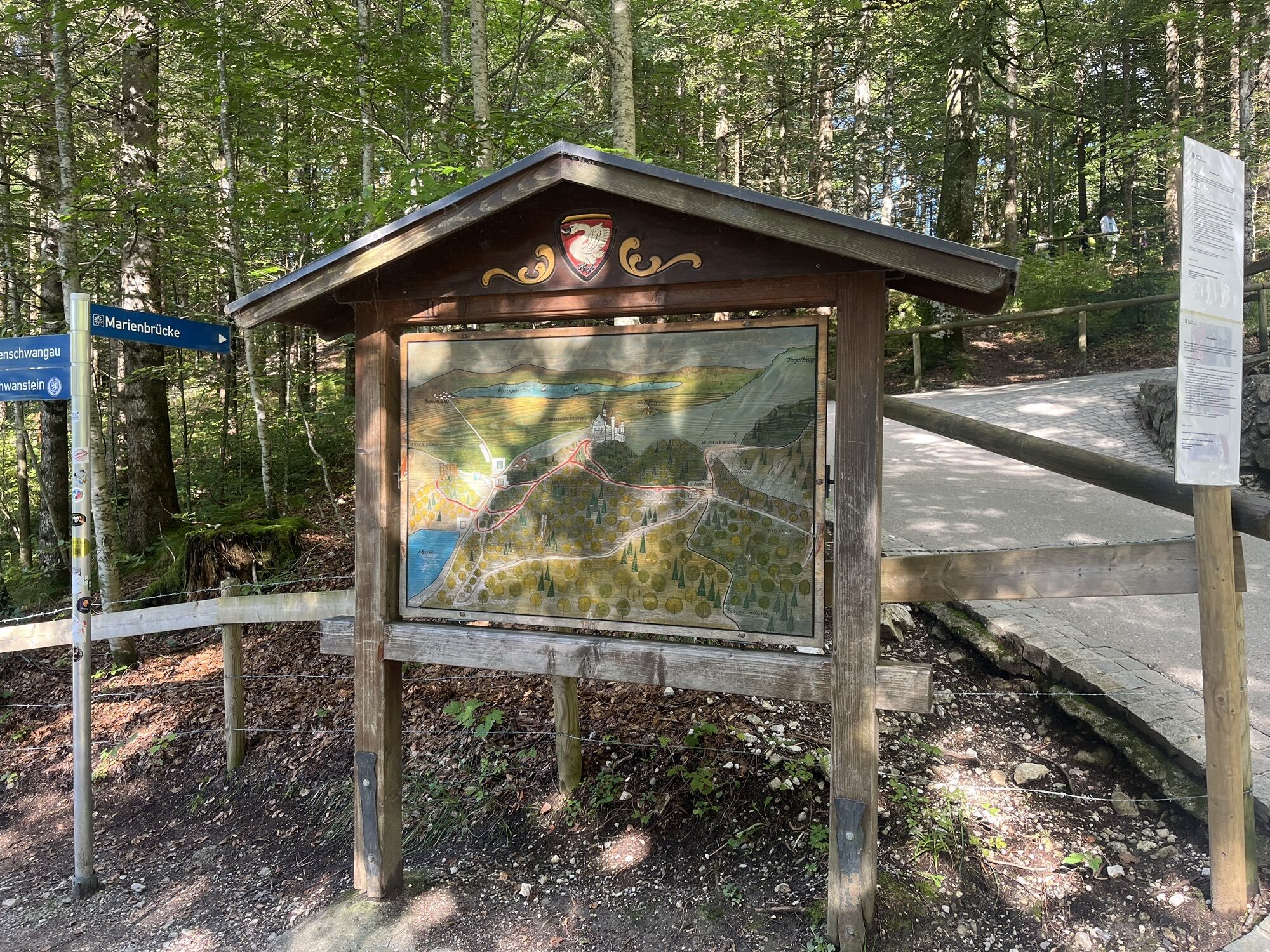

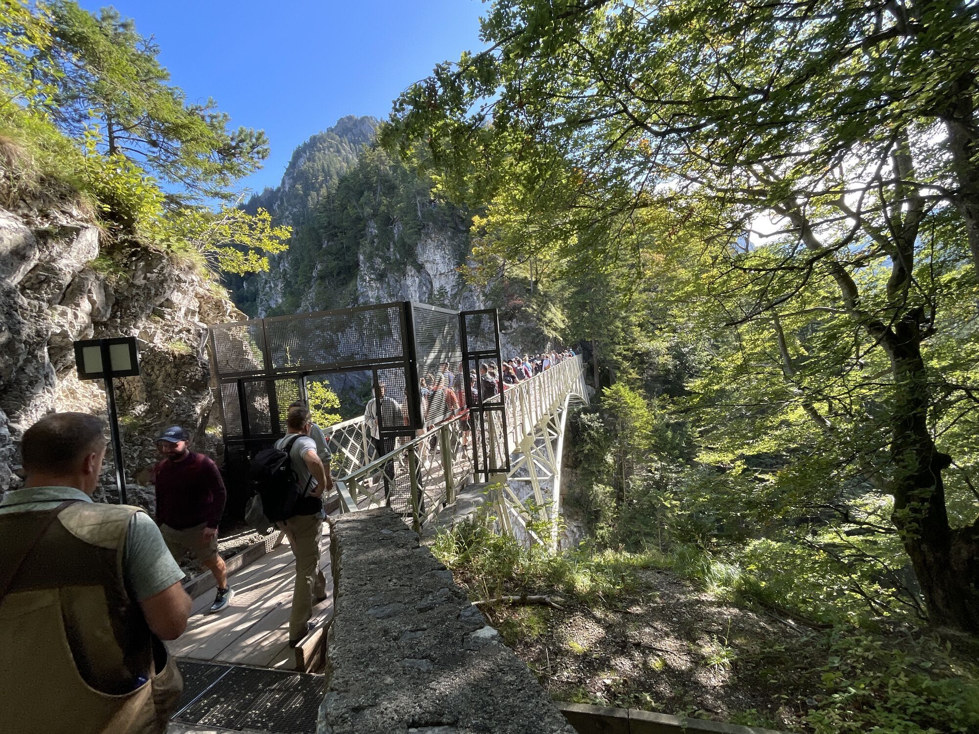

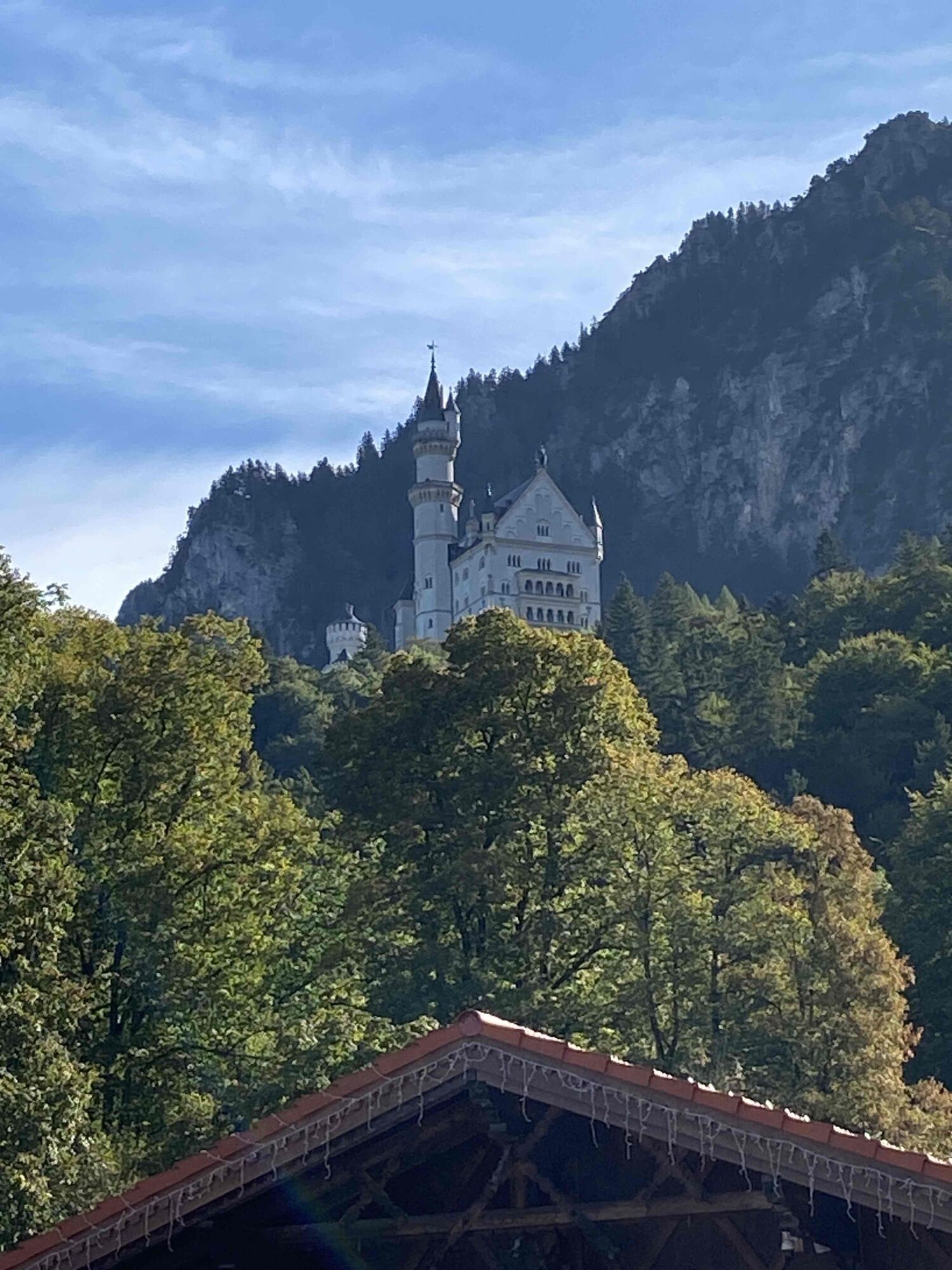
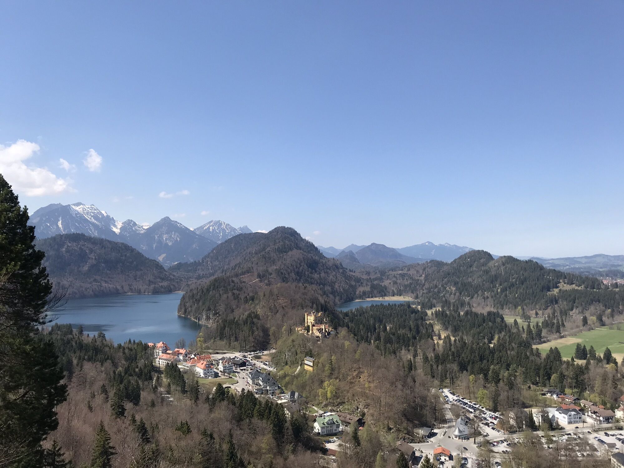
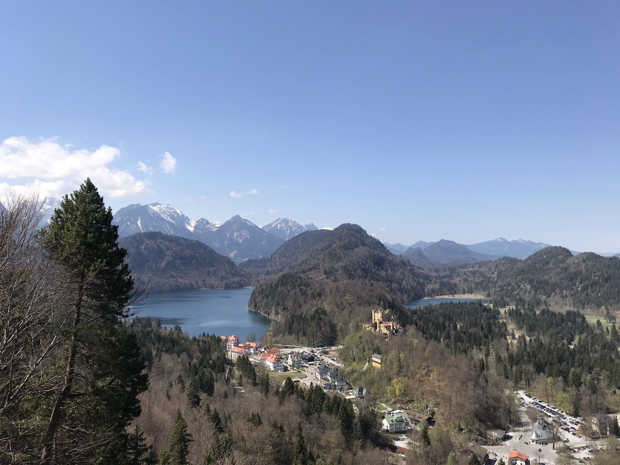


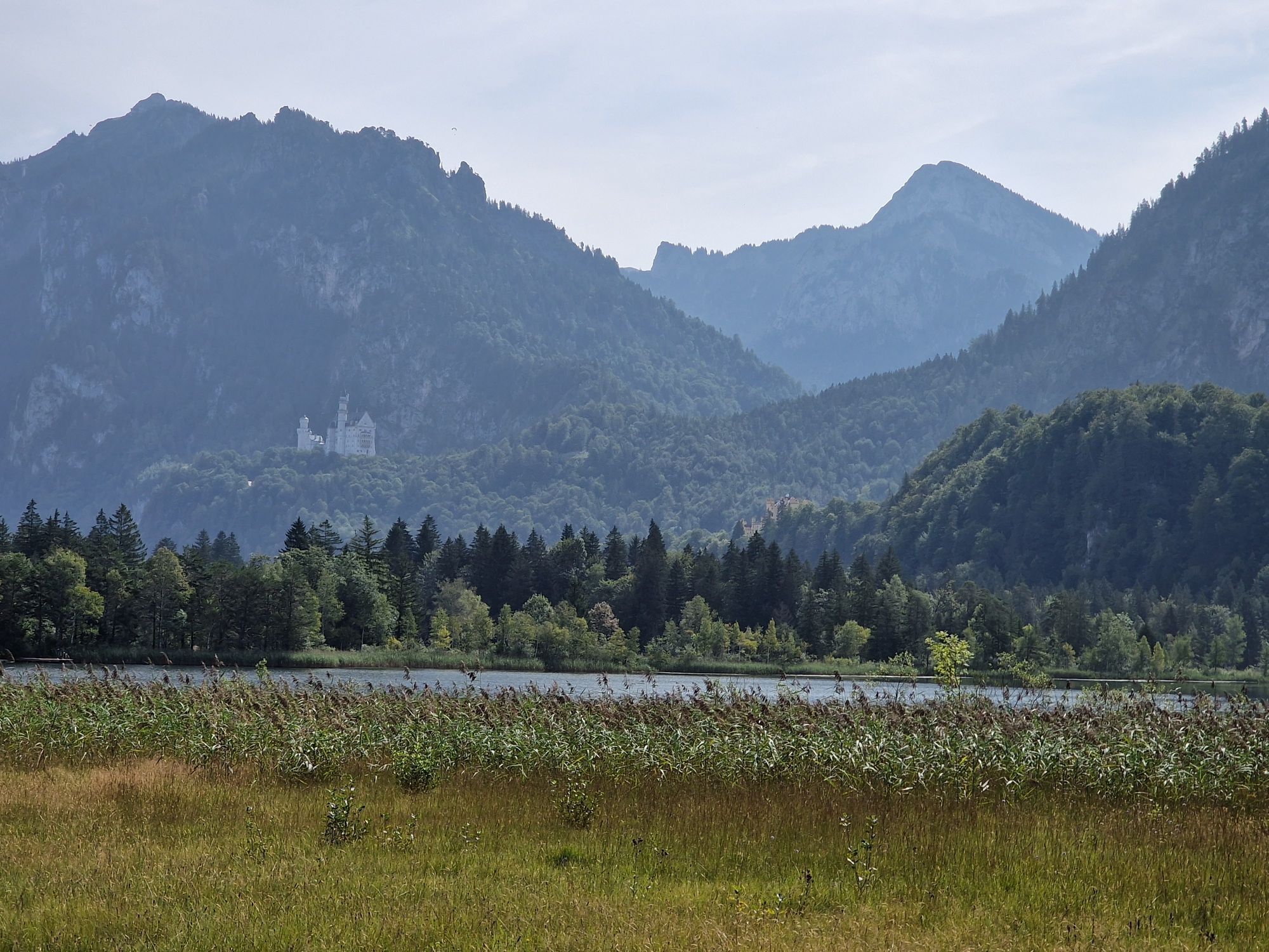

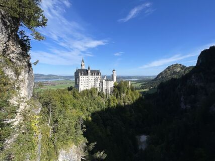
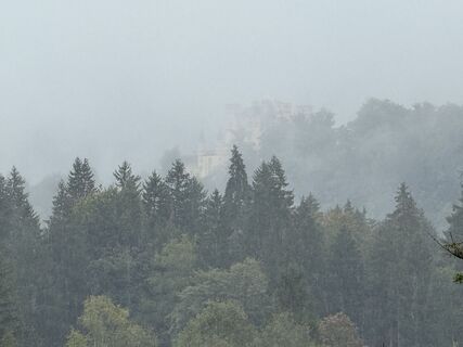
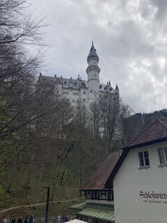
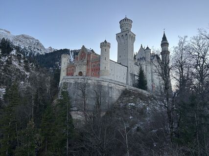
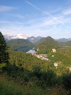
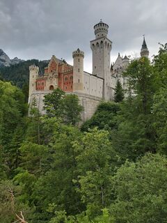
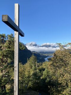
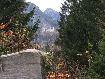
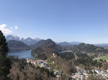
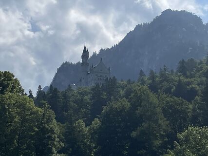
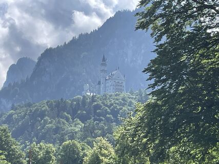
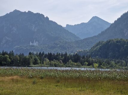
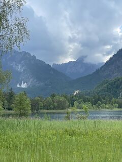
Until now, the trail connection between the town of Füssen and the village of Schwangau was considered the "unknown beauty" among hiking trails.

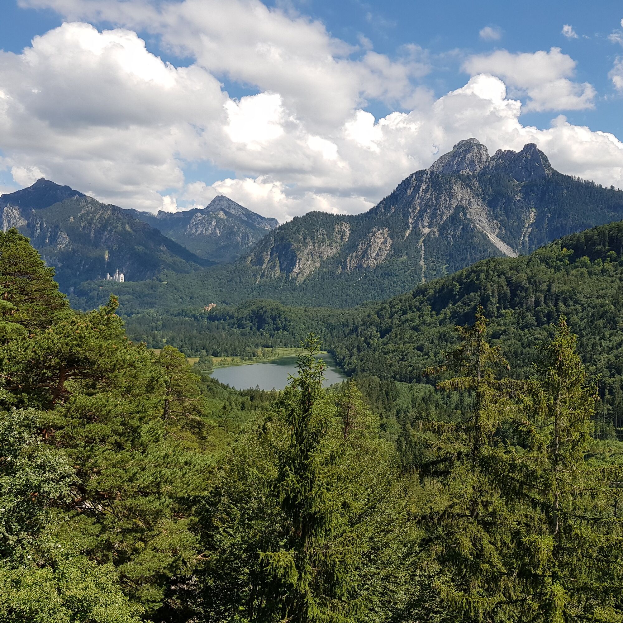
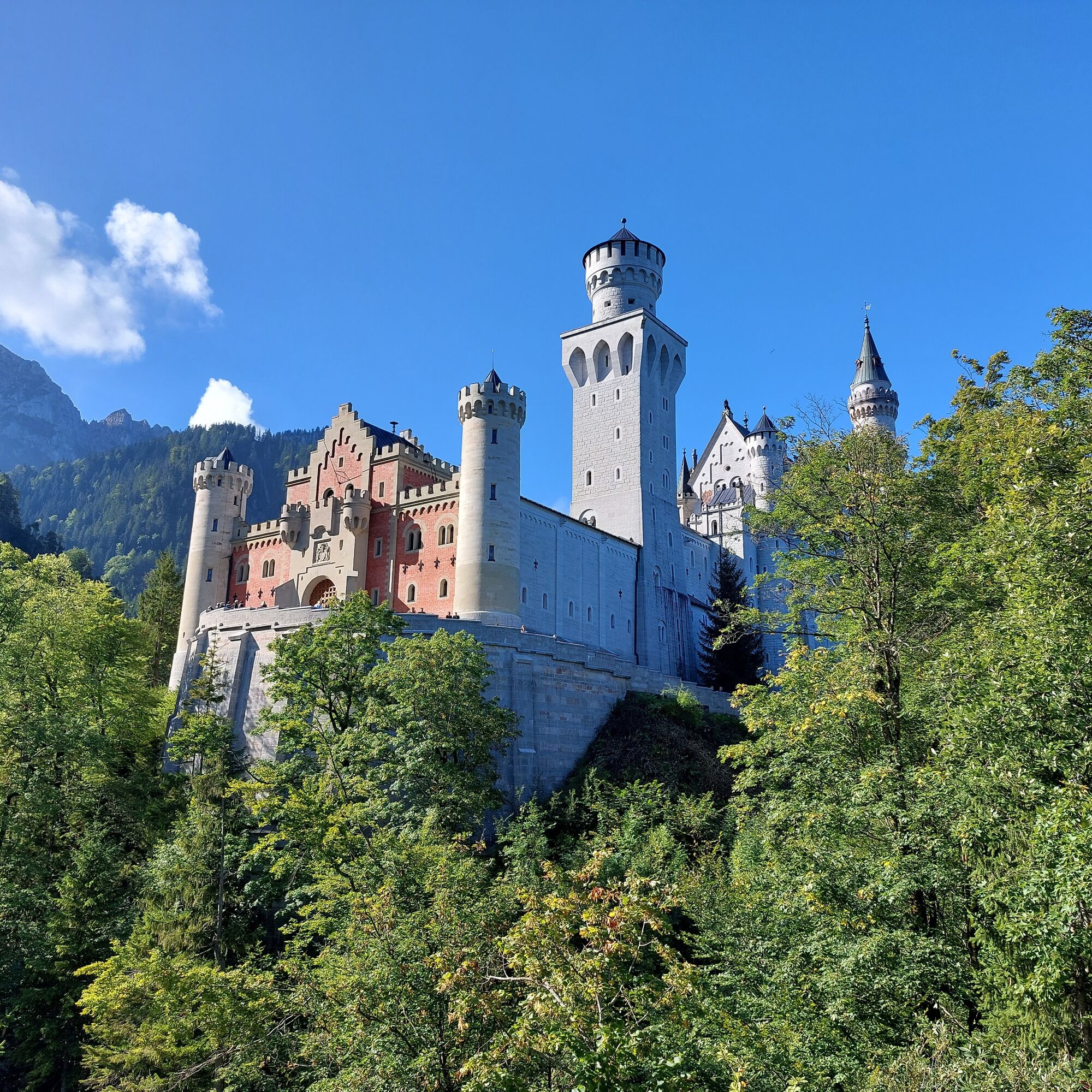
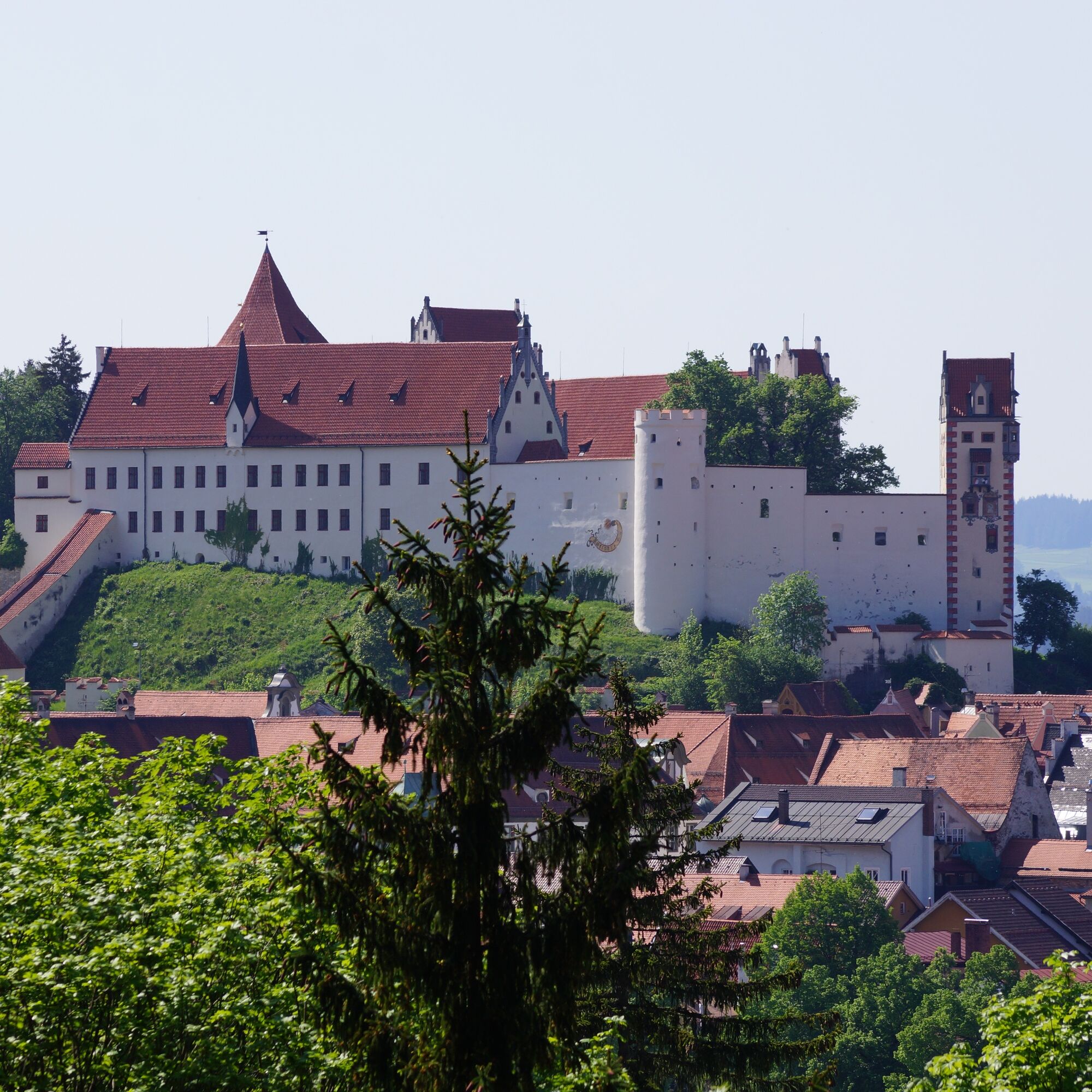
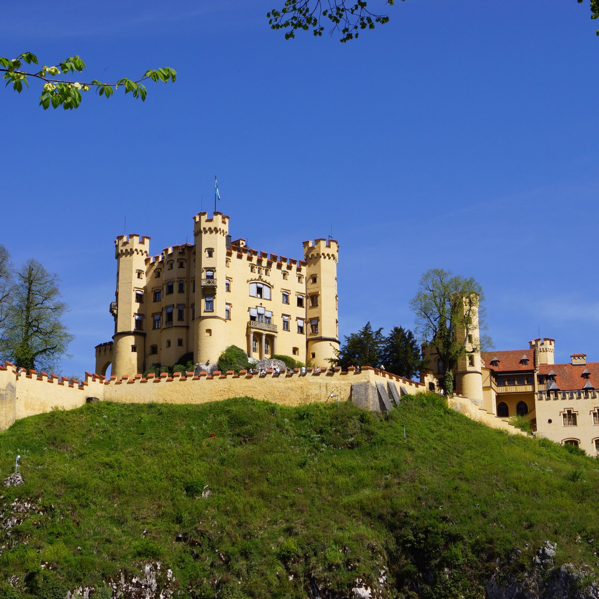
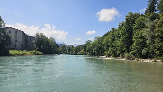
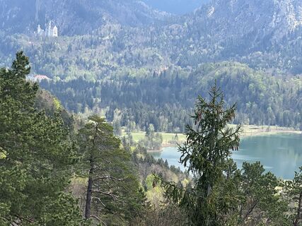
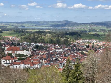
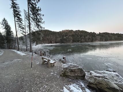
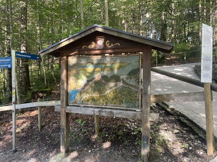
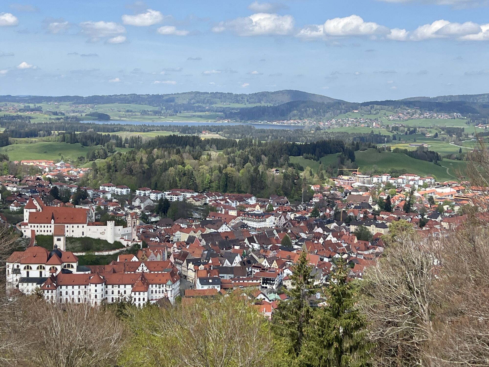
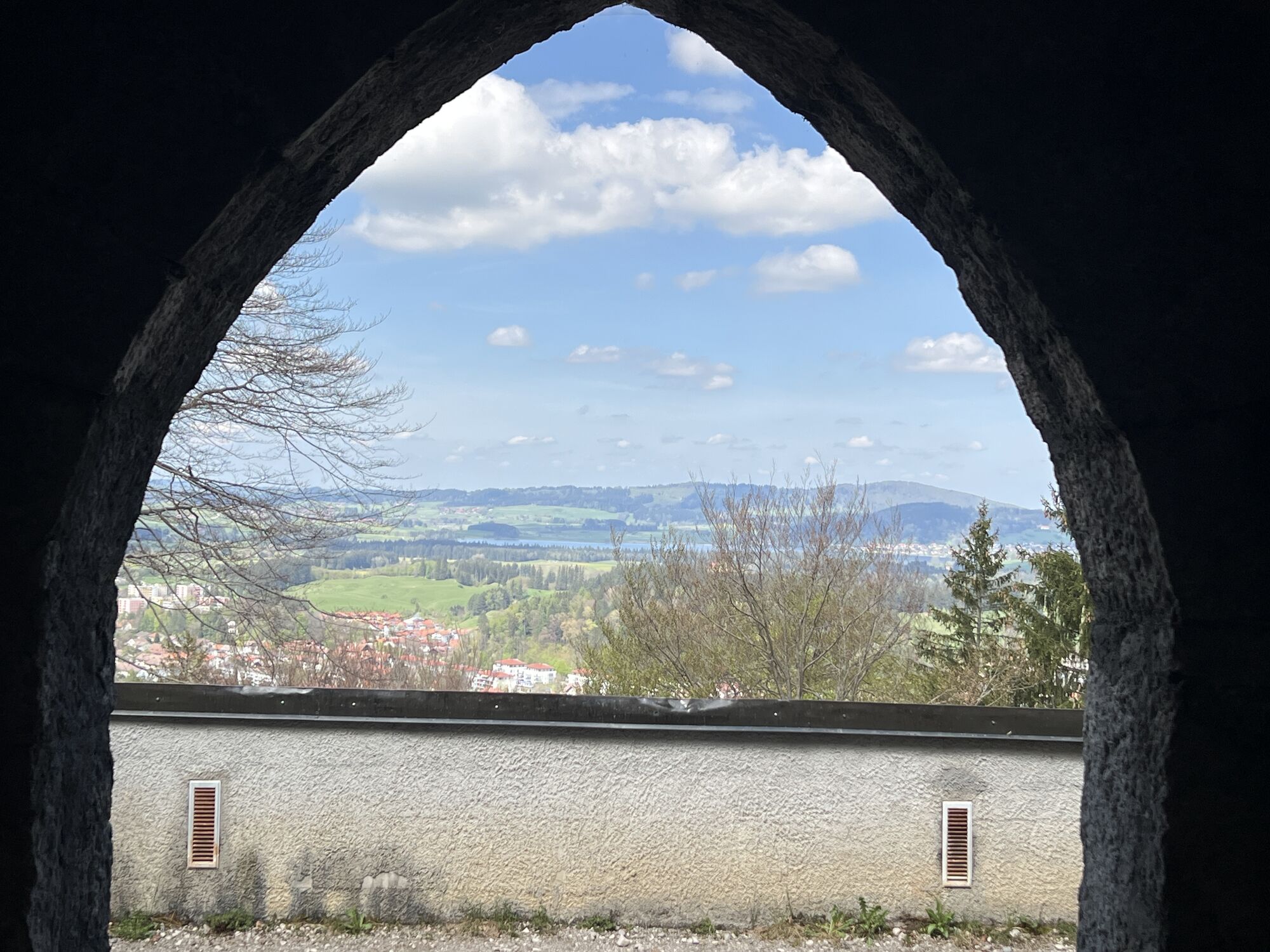
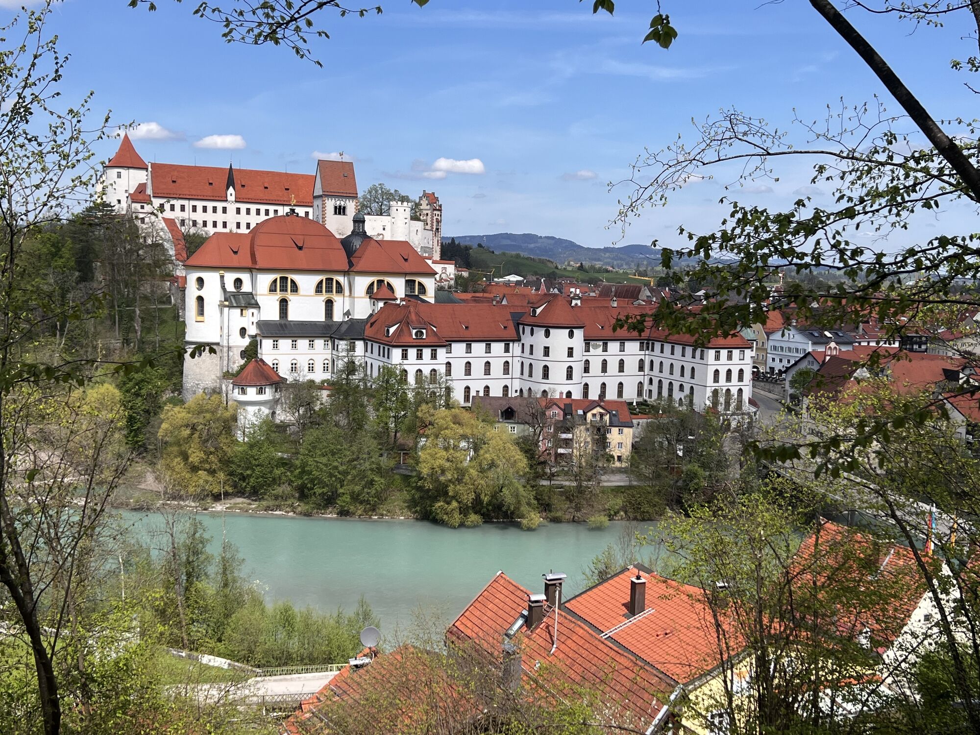
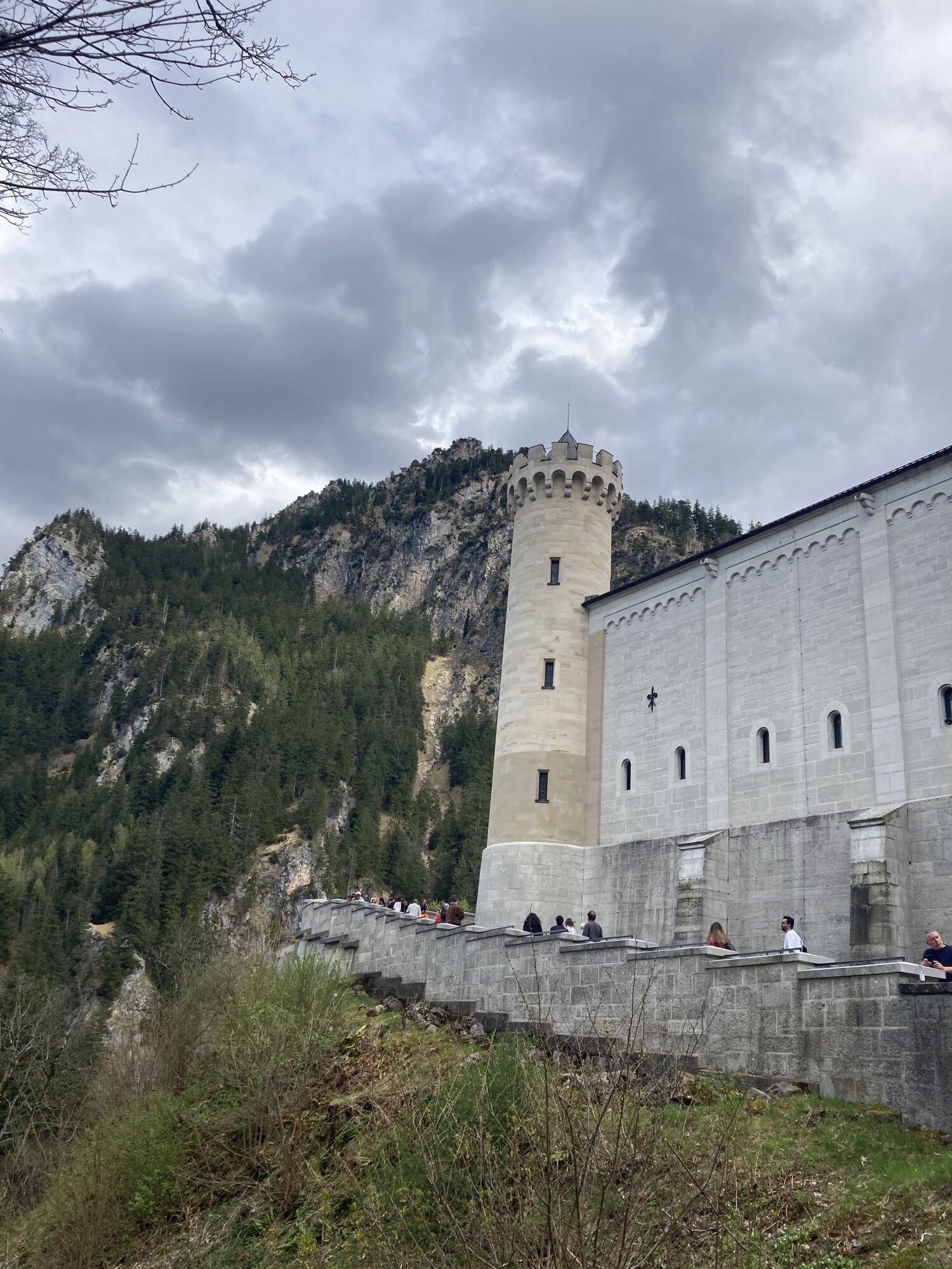
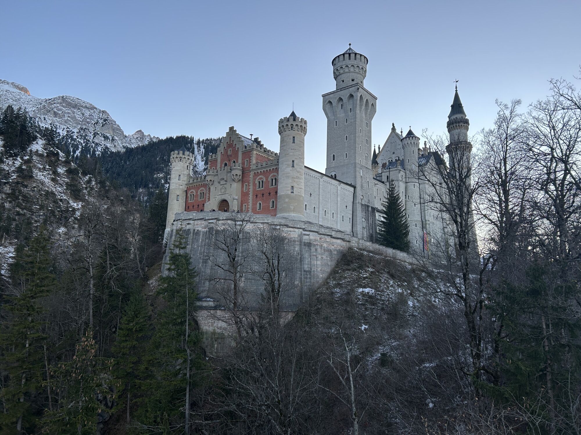
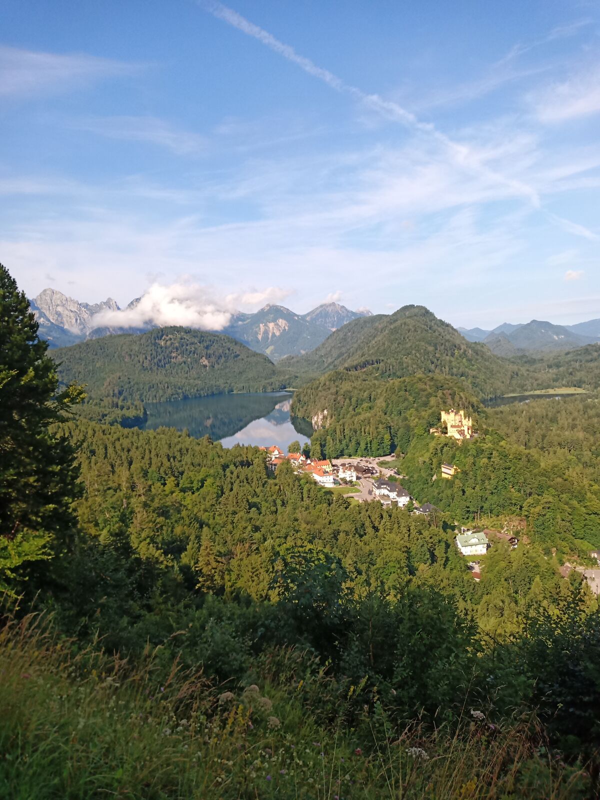
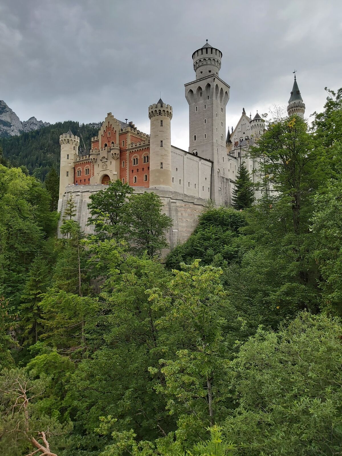
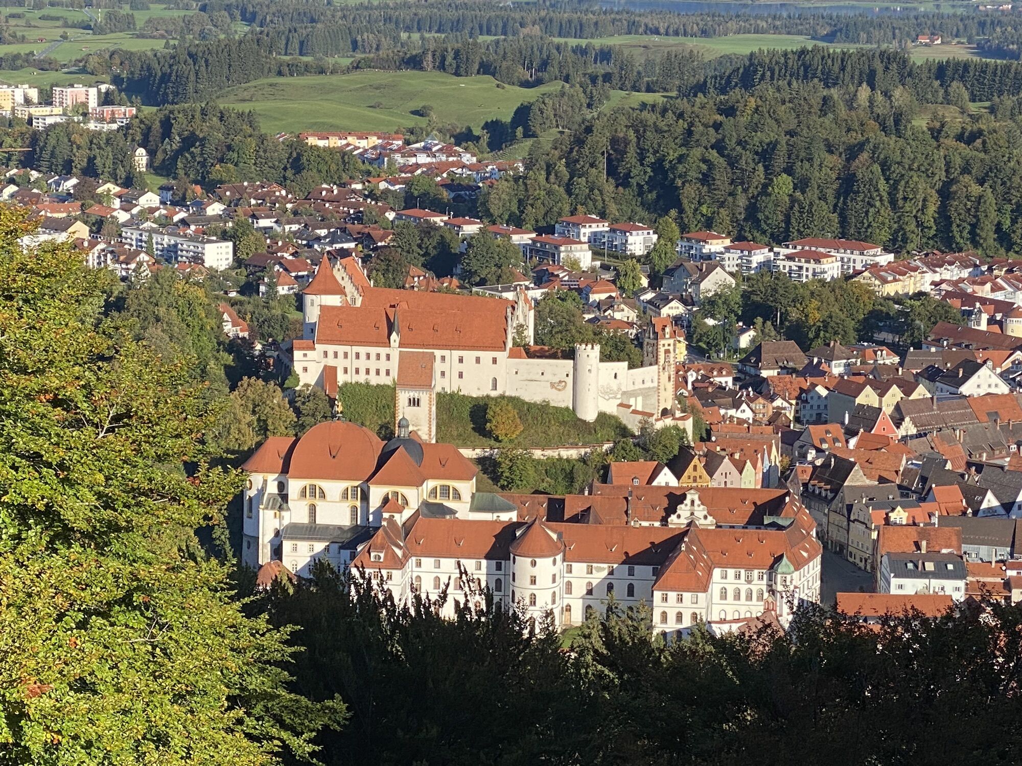
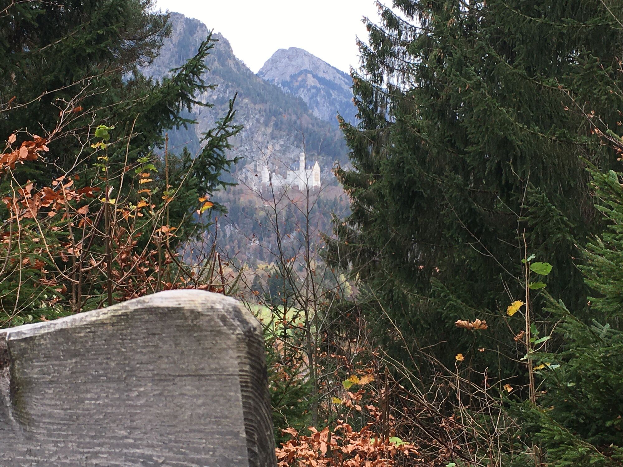
The hike starts from the Hohenschwangau parking lot. After a short distance you will see Neuschwanstein Castle (tickets for a tour must be purchased in advance in the valley at the ticket center or in the online ticket store). Continue on Schlossstraße into town and 10-minute climb to Hohenschwangau Castle. Then follow the signs to Schwansee. At Schwansee, continue on Königsstraße in the direction of Füssen. After a few hairpin bends, you come to the Kalvarienberg branch, which you should definitely climb, because from here a 360-degree panorama opens up on the three castles (Neuschwanstein, Hohenschwangau, Hohes Schloss, Füssen), the imposing mountain scenery and the Allgäu foothills of the Alps with its numerous lakes. The descent is via the Kreuzweg to Füssen, where the beautiful old town and the High Castle (gallery) invite you to visit. After crossing the old town, keep to the right at Kaiser-Maximilian-Platz out of town in the direction of Lech/Schwangau-Horn. After about 10 minutes you cross the Lech and walk on the footpath back to Hohenschwangau.
Easy tour, also suitable for children.
Follow the signs Hohenschwangau/Königsschlösser
Nearest bus stop at the information point Hohenschwangau (Neuschwanstein-Hohenschwangau-Castles).
Paid parking in Hohenschwangau (P1-P4)
With the Schwangau hiking pass for large and small hiking enthusiasts, you now have the opportunity to explore our unique natural landscape on your own. As proof of your achievement, you will find a small wooden box with a punching tool on the respective routes.
Simply punch the corresponding hiking route in your hiking passport and show it at the tourist information after completing enough hiking tours. There you will receive a hiking pin as a reward and the little hikers a hiking certificate.
The printed Schwangau hiking pass is available free of charge at the Tourist Information Schwangau, at the information point in Hohenschwangau, at the Tegelbergbahn valley station and at the Ziegelwies Forest Adventure Center.
https://www.schwangau.de/aktivitaeten/wandern-und-klettern/wanderpass-schwangau/
The tour can be shortened by bus (bus station in Füssen, bus stop Hohenschwangau, timetable at .
Webkameraer på turen
-
Talstation
-
Tegelbergbahn Bergstation
-
Tegelberghaus
-
Füssen - Wellness Hotel Sommer
-
Segelclub Füssen
-
Camping Hopfensee
-
Camping Hopfensee
-
Hopfen am See - Restaurant Fischerhütte
-
Talstation
-
Talstation
-
Talstation
-
Talstation
-
Tegelbergbahn Bergstation
-
Talstation
-
Talstation
-
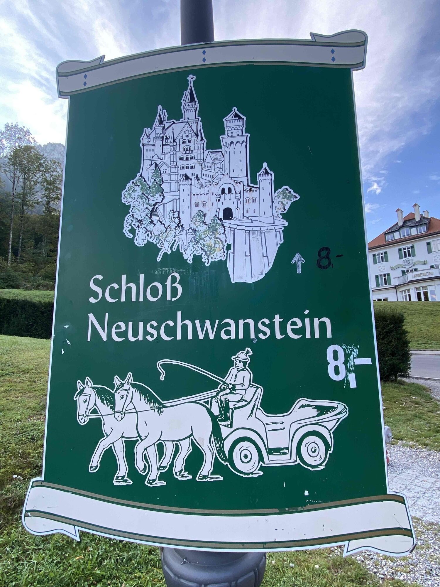
Schloss Hohenschwangau
-
Schloss Hohenschwangau
-
Schloss Hohenschwangau
-
Schloss Hohenschwangau
-
Schloss Hohenschwangau
-
Schloss Hohenschwangau
-
Schloss Hohenschwangau
-
Schloss Hohenschwangau
-
Ludwigs Festspielhaus Füssen
-
Ludwigs Festspielhaus Füssen
-
Forggensee
-
Schwangau - Blick auf den Tegelberg
-
Hotel Hirsch
-
Schwangau - Schlossbrauhaus
-
Schwangau - Tegelbergbahn
-
Tegelberg Landeplatz
Populære ture i området
-
4.2
Cultural trail Schutzengelweg
MediumVandring 5.13 km -
4.5
Mountain hike to the Aggenstein
tungVandring 15.3 km -
4.5
Circular hike Dreh- and Rohrkopfhütte
lysVandring 8.76 km -
4.8
Around Weißensee
lysVandring 6.12 km -
5.0
Hiking tour to Breitenberg
tungVandring 15.6 km -
3.6
Rundwanderung Plansee
MediumVandring 9.80 km -
5.0
Gemeinde Grän, Tirol/Österreich Aggenstein Rundtour über Höhenweg
MediumVandring 9.84 km -
4.8
To the Bad Kissinger Hut via the Gräner Höhenweg
MediumVandring 13.0 km -
4.5
Traumhafte Panorama Plansee-Umrundung
lysVandring 13.8 km -
4.6
Schönleitenschrofen
tungVandring 15.5 km
Vandring og sporing


Gå ikke glip af tilbud og inspiration til din næste ferie
Din e-mailadresse er blevet tilføjet til mailinglisten.