


Sværhedsgrad: 1


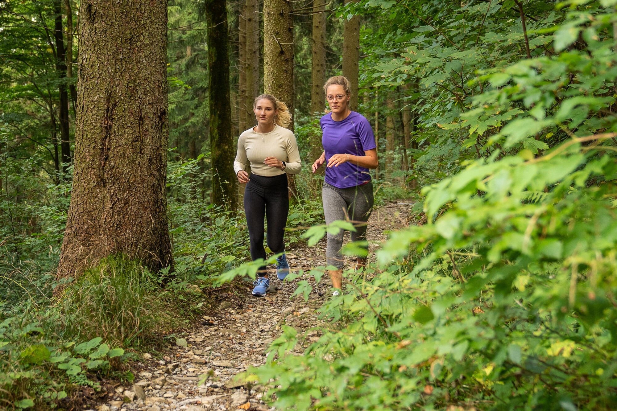
This easy running round first leads shaded, flat, continuously paved and always along the Schlierach from Miesbach south to Agatharied. From there it goes in a small loop back to the starting point – either...
This easy running round first leads shaded, flat, continuously paved and always along the Schlierach from Miesbach south to Agatharied. From there it goes in a small loop back to the starting point – either with a slight ascent and along some wonderful farms or on small forest paths and trails directly along the Schlierach stream back to Warmbad in Miesbach.
The loop is about 4 km long with 40 meters of elevation gain and is very well suited for beginners and even children or teenagers. It is continuously paved (except for the alternative route on the way back) and thus also suitable as a jogging route with a stroller.
The ‘Laufpark Miesbach Hausham’ is supported by the Bavarian State Ministry for Food, Agriculture and Forestry and the European Agricultural Fund for Rural Development (EAFRD). The Laufpark Hausham Miesbach was opened in summer 2022.


After starting at Warmbad, we follow Badstraße south and continue along the narrower footpath to the junction with Angerstraße. There, turn left and shortly after right into Haidmühlstraße. Through the forest, we follow this road, which is closed to car traffic. We follow the Schlierach, which accompanies us on the right, further upstream, and continue along the bike path to the junction with Lehenweg. We follow this to the right. Just before going under the railway line, the alternative route branches off, which returns to Miesbach via forest paths. The main route follows Lehenweg briefly uphill and along some farms on the high bank of the Schlierach. The path continues under the B472 and to Angerstraße. There, turn right and shortly after left again on the same route back to the start at Warmbad.
Ja
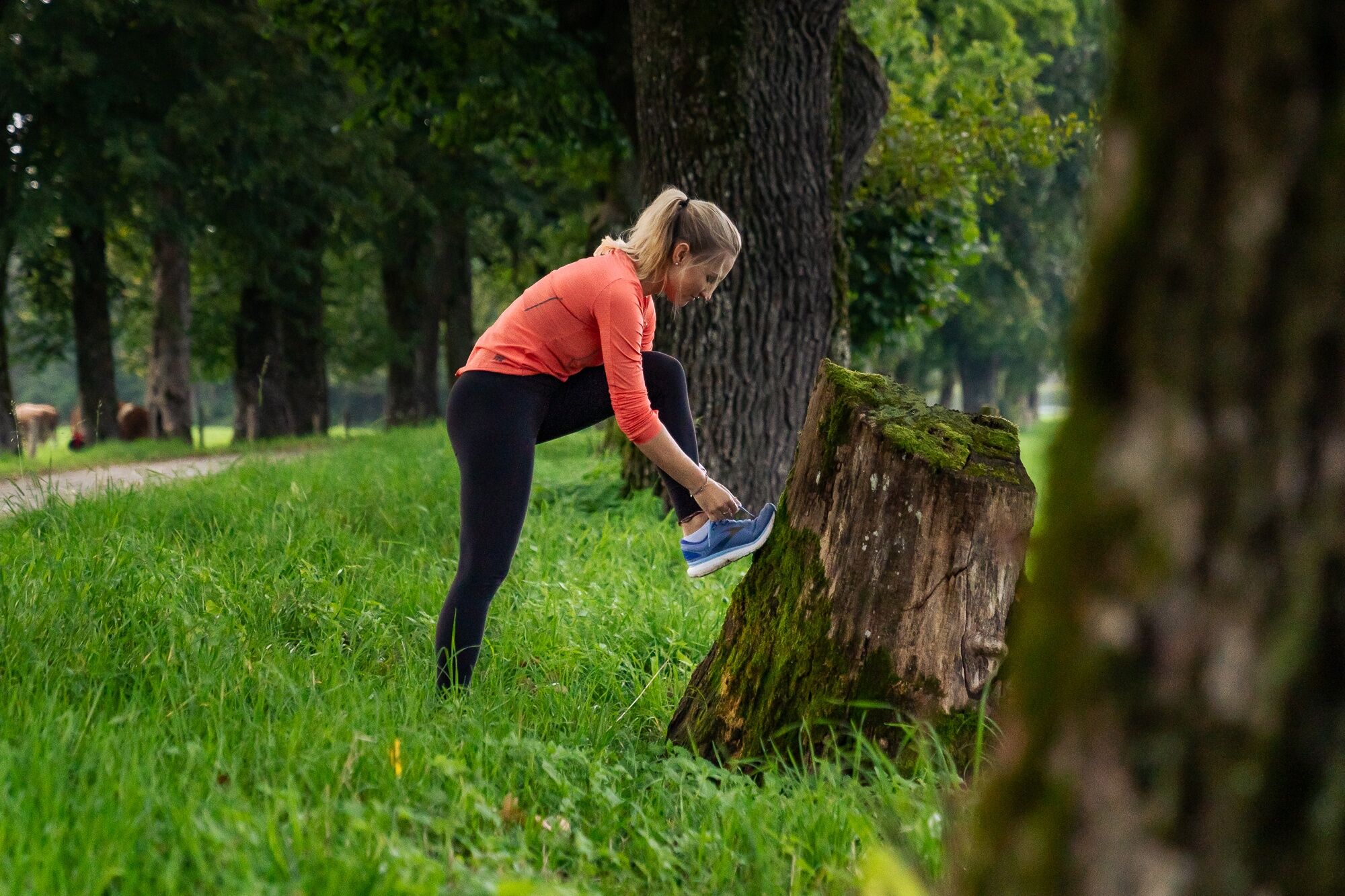
Running shoes and equipment, possibly a drink
All information without guarantee. Entering and using the routes described here is at your own risk.
A8 to Weyarn exit, via state road 2072 to Miesbach
Trains of the Bayerische Regiobahn (BRB) run hourly from Munich to Miesbach. It is about 1 km from the station to the start of the jogging route.
Here you can find the current timetable information.
Parking lot at the outdoor pool in Miesbach
1
The ‘Laufpark Miesbach Hausham’ is supported by the Bavarian State Ministry for Food, Agriculture and Forestry and the European Agricultural Fund for Rural Development (EAFRD). The Laufpark Hausham Miesbach was opened in summer 2022.
Populære ture i området
-
4.8
Breitenstein
MediumVandring 9.13 km -
4.0
Von der Kistenwinterstube zum Risserkogel
MediumVandring 10.4 km -
4.0
Jägerkamp und Benzingspitze
MediumVandring 8 km -
4.8
Brecherspitze
MediumVandring 14.5 km -
4.5
Brecherspitz-Runde auf dem Normalweg Schliersee, Bayern
MediumVandring 11.3 km -
4.6
Aueralm/Zwerglberg
MediumVandring 11.9 km -
4.2
Aueralm and Fockenstein
tungVandring 14.8 km -
4.0
Tegernsee Höhenweg - North
lysVandring 12.3 km -
4.2
Alpbach valley and Neureuth
MediumVandring 12.9 km -
5.0
From Neuhaus to Brecherspitze
tungVandring 14.4 km

Vandring og sporing


Gå ikke glip af tilbud og inspiration til din næste ferie
Din e-mailadresse er blevet tilføjet til mailinglisten.