


Sværhedsgrad: 2


The path starts at the valley station of the Bergbahnen Hohsaas and initially follows the sledding piste. At the first 180° bend, the path leaves the piste to the right and leads pleasantly in switchbacks...
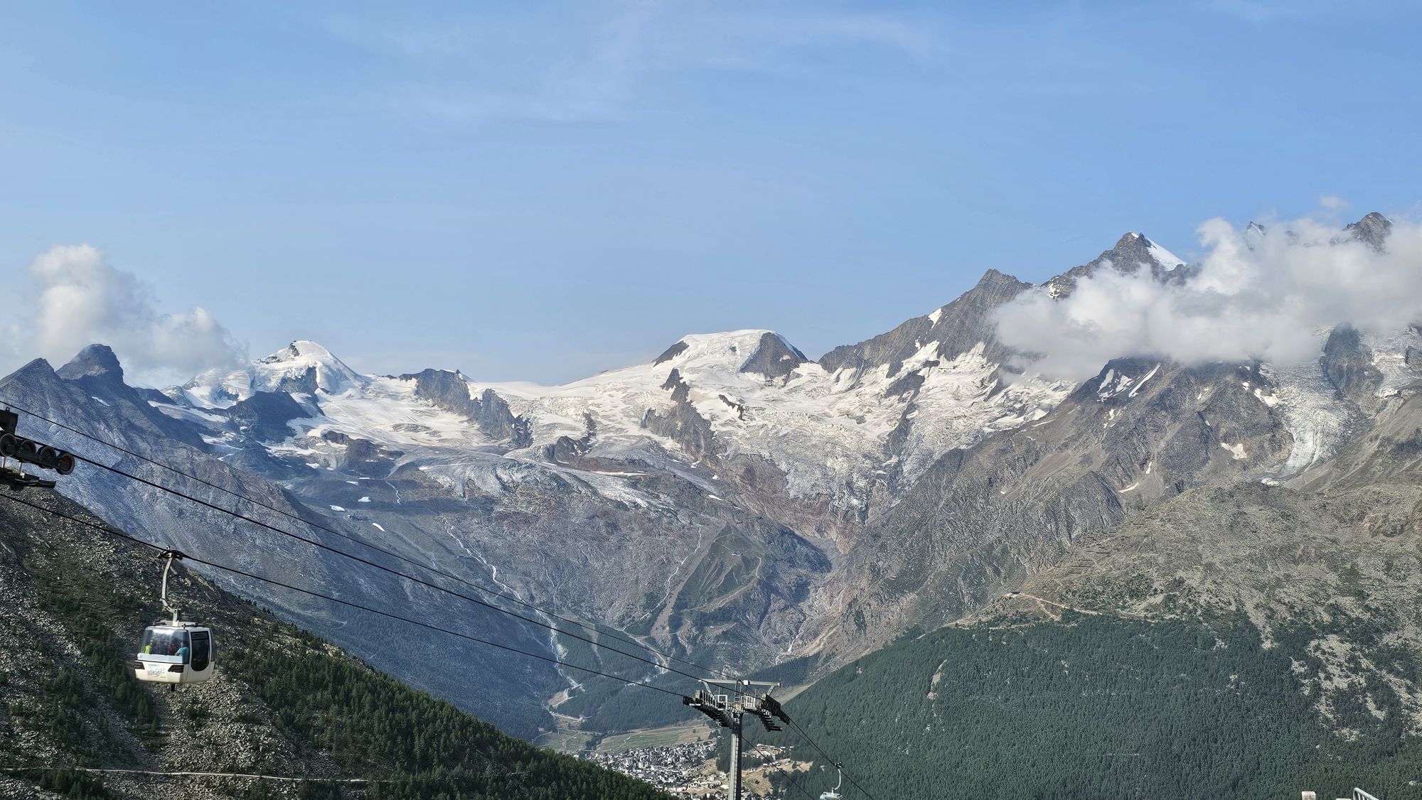
The path starts at the valley station of the Bergbahnen Hohsaas and initially follows the sledding piste. At the first 180° bend, the path leaves the piste to the right and leads pleasantly in switchbacks through the snow-covered forest up to Alpe Bodme. After Alpe Bodme, you meet the sledding path again and follow it past Tewald, Triftalp and Zingelstapfu (second 180° bend) to Kreuzboden. At Kreuzboden the restaurant and the Hohsi-Bar invite you to stay. The return can be made by gondola or sled.


Valley station Bergbahnen Hohsaas - Ziebel - Bodme - Zer Engi - Tewald - Trift - Zingelstapfu - Kreuzboden
Ja
Ja
Hiking shoes or winter shoes with snow-grip soles
Spikes/crampons (depending on weather conditions)
Warm clothing
Headgear
Sun protection
Fluids and provisions
Navigation tool
First aid kit
Poles (optional)
Use of the winter hiking trails and information on this website is at your own risk. Conditions on site may lead to changes in the routes.
Winter hiking trails require increased attention and caution regarding weather conditions and risk of slipping. Wearing sturdy footwear with snow-grip soles and spikes/crampons as well as weather-appropriate equipment is required. Sections of the path with black ice are marked but may only be used at your own risk. Use only marked hiking trails and observe all signs and instructions - for your own safety, to protect livestock, and to avoid disturbing wildlife. Plan your hike carefully: consider the required fitness of all participants, the weather forecast and the season. Weather conditions in the mountains can change very quickly and without warning. Appropriate clothing and enough provisions (food and drink) are very important. In unstable weather it is better to turn back early. Watch for warning signals indicating dangers, especially avalanche danger. Inform third parties about your route and avoid hiking alone if possible. Do not venture onto glaciers without a mountain guide.
The Saas Valley is easily and conveniently accessible by car from all directions, whether from Switzerland or abroad. From the north you reach us via Bern through the Lötschberg car shuttle. From the east you come via the Furka Pass or the Furka car shuttle. From the south we are reachable via Simplon Pass or the Simplon car shuttle, and from the west you drive over Lausanne along the Rhone Valley to Visp and then towards Saas-Fee.
From Visp you drive south towards Saas-Fee. At the "Killerhof" roundabout towards Stalden, take the second exit to Saas-Fee and follow the main road to Saas-Grund.
Take the SBB train to Visp and change there to the PostBus towards Saas-Fee (Bus 511). Get off in Saas-Grund at the Bergbahnen stop.
Parking spaces are available at the valley station of the Bergbahnen Hohsaas.
2
Saastal Tourismus AG
Obere Dorfstrasse 2
3906 Saas-Fee
Tel.: +41 (0)27 958 18 58
Email: info@saas-fee.ch
www.saas-fee.ch
For an adventurous return, the sled descent from Kreuzboden to Saas-Grund is recommended.
Populære ture i området
-
4.9
Allalinhorn vom Mittelallalin über Normalweg
MediumHøj tur 6.15 km -
5.0
Weissmies Südgrat von Saas Almagell
MediumHøj tur 20.5 km -
3.8
Höhenweg Saas-Fee - Grächen
Vandring 12.0 km -
Around the Mattmark Reservoir in the Saastal
lysVandring 8 km -
5.0
Via ferrata Jägihorn
tungVia ferrata 6.14 km -
Panoramaweg Visperterminen
lysVandring 9.72 km -
4.5
Saas Fee - Bärenfalle - Melchboden - Hannigalp
MediumVandring 8.38 km -
Gibidumpass
lysVandring 11.6 km -
3.0
Mattmark - Monte Moro - Macugnaga
Vandring 10.6 km -
Hannigalp-Seetal-Hannigalp
MediumVandring 10.4 km

Vandring og sporing


Gå ikke glip af tilbud og inspiration til din næste ferie
Din e-mailadresse er blevet tilføjet til mailinglisten.