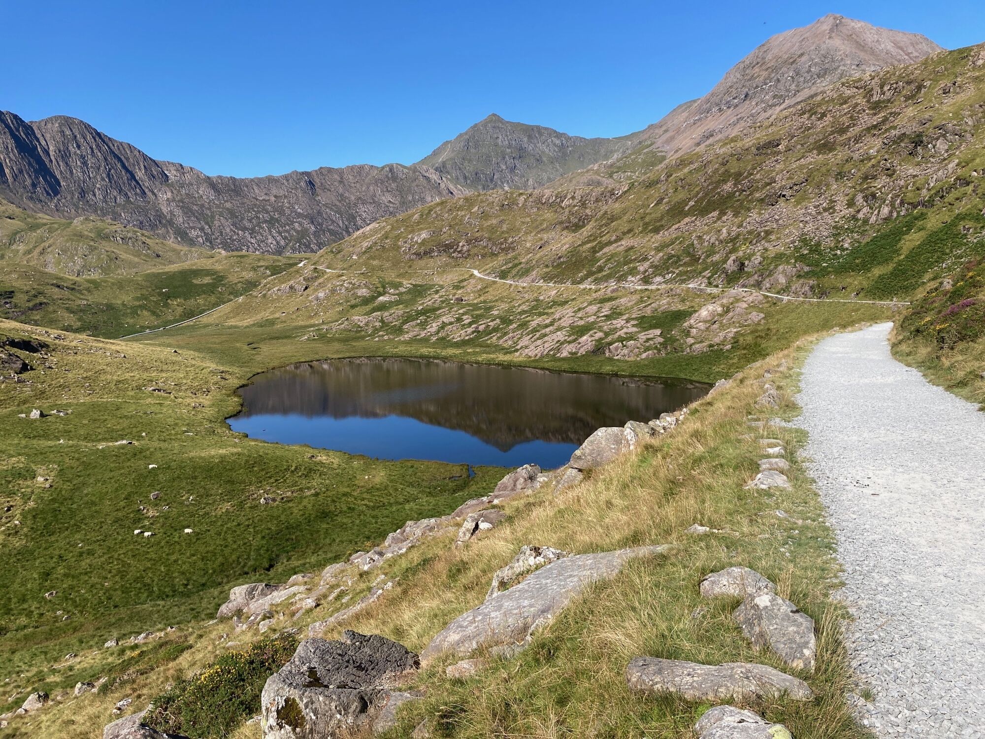
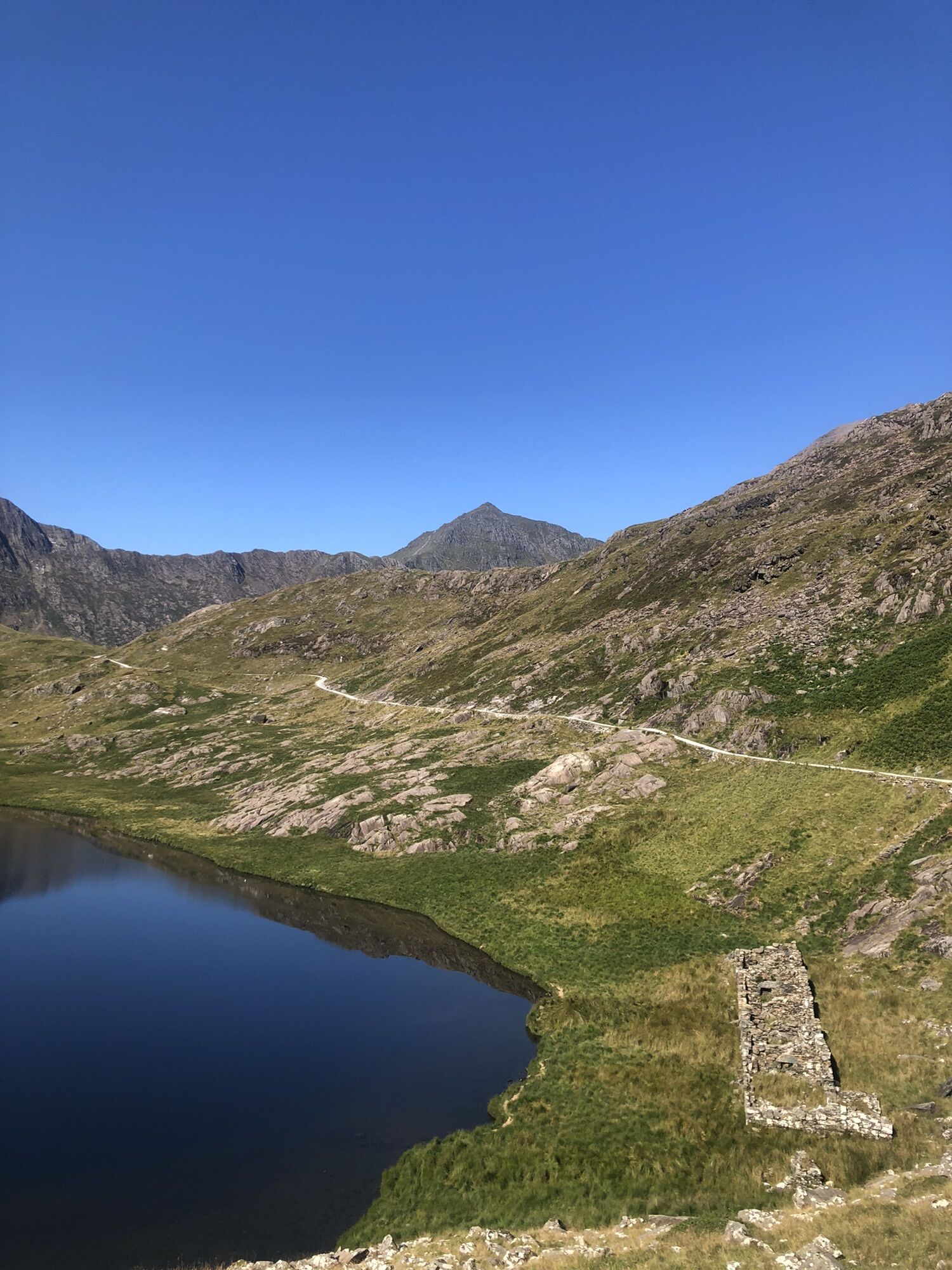
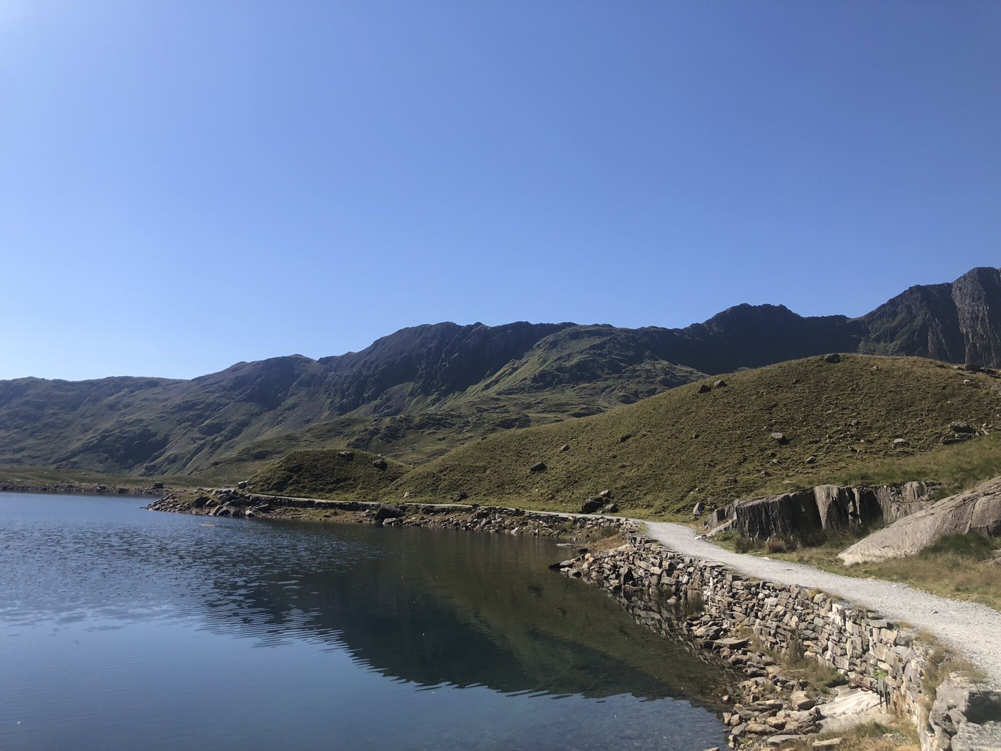
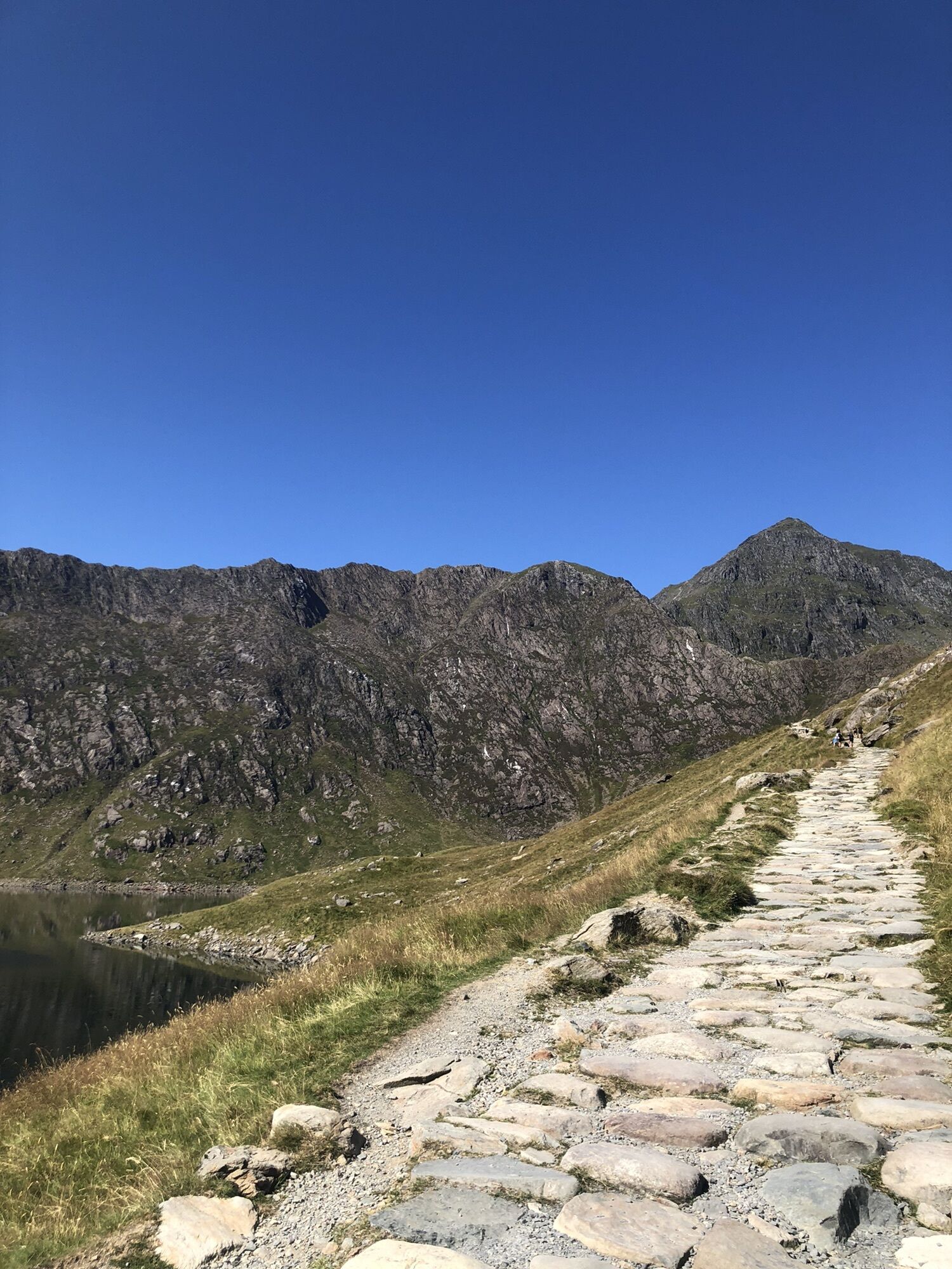
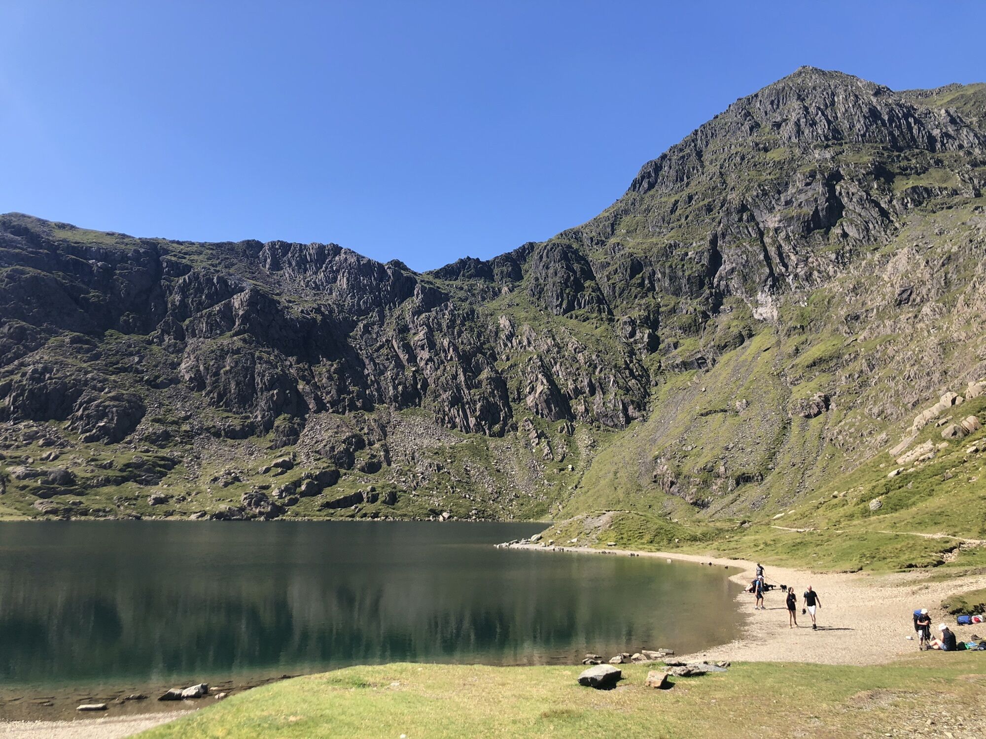
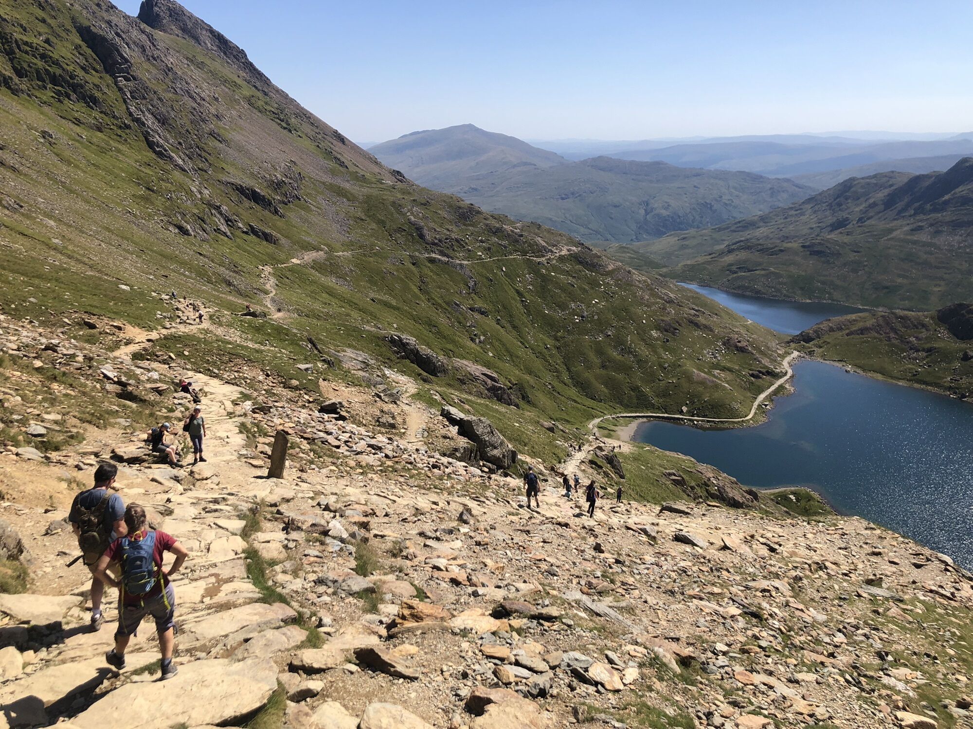
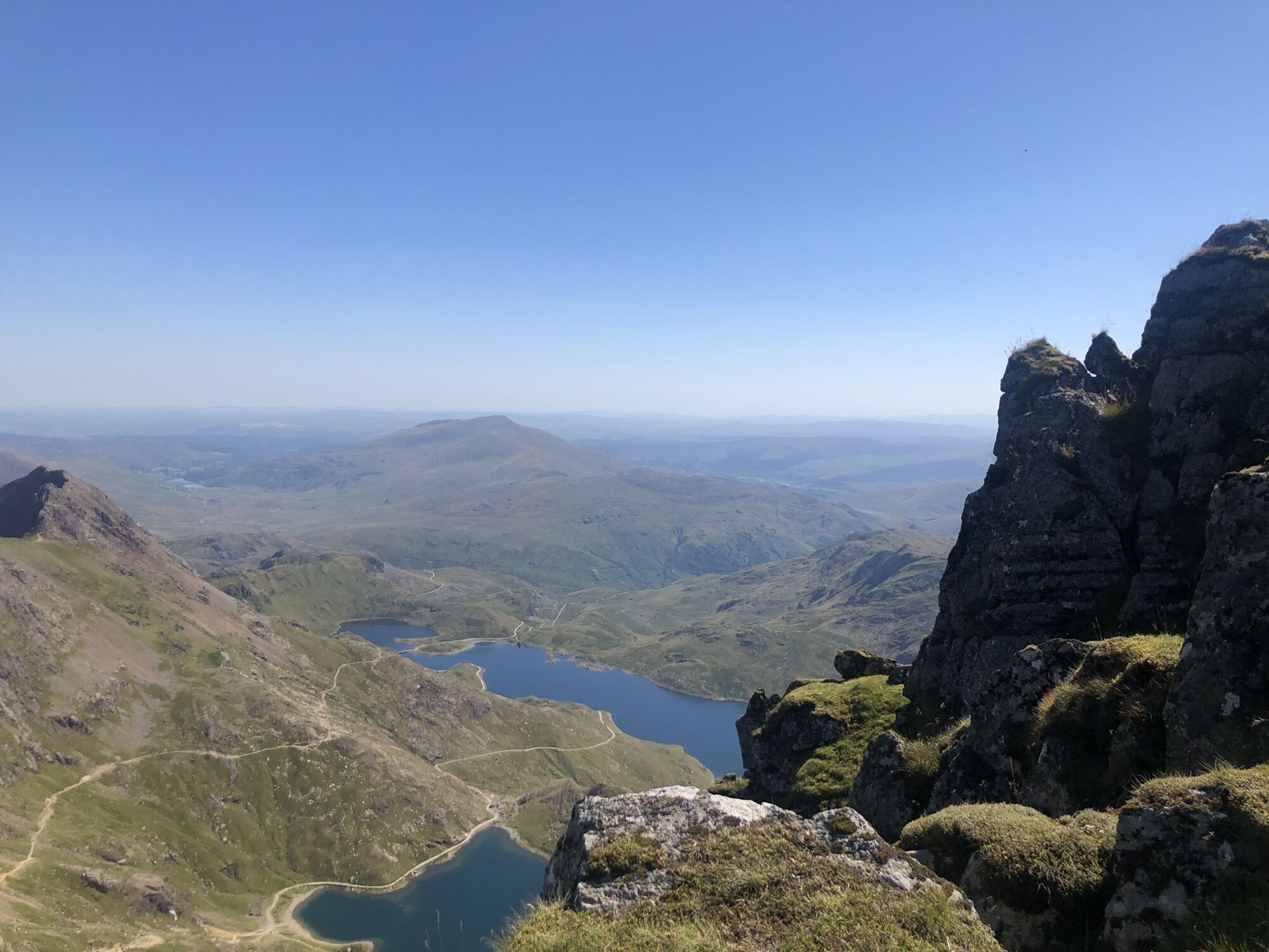
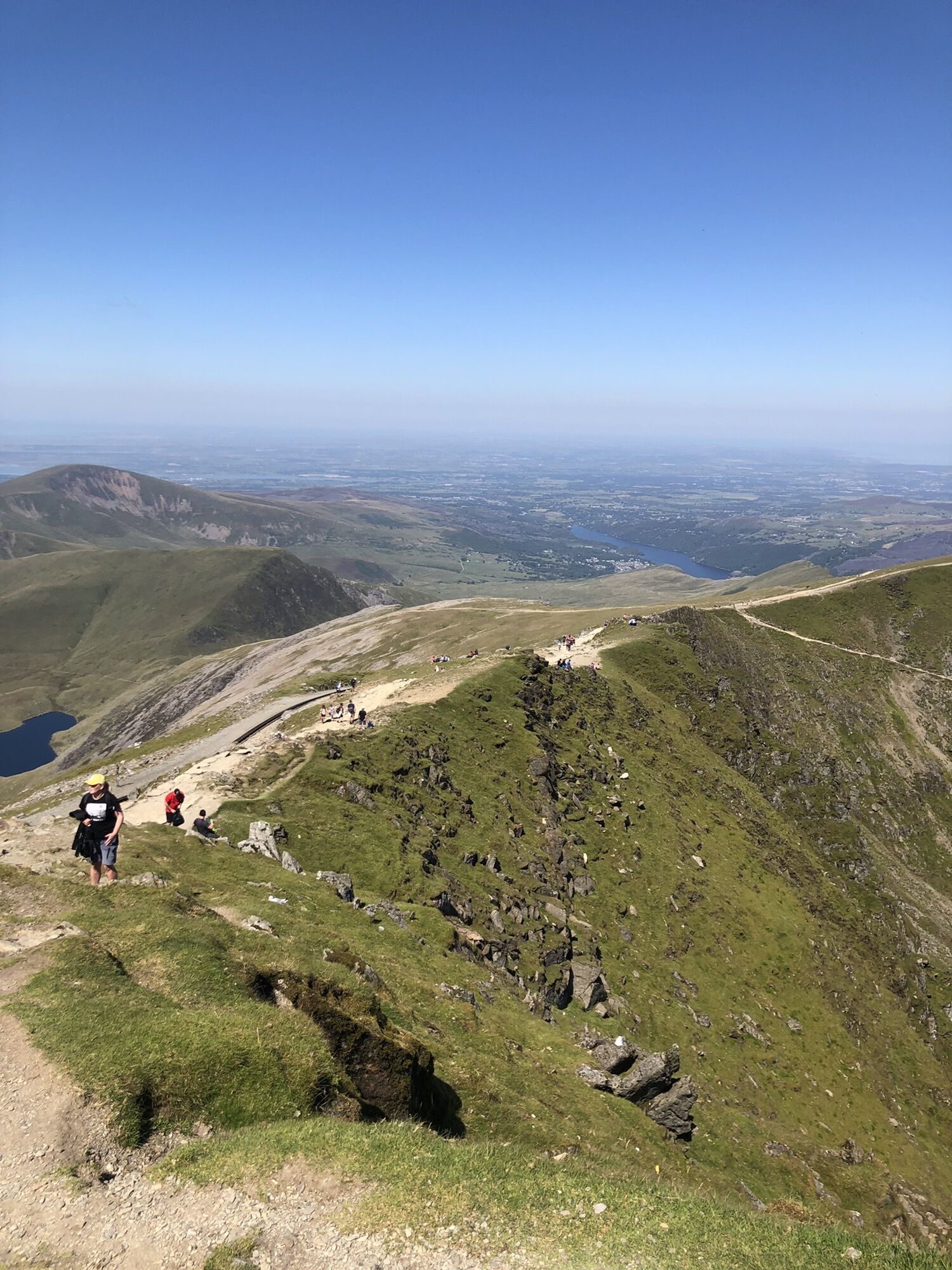
Pen-y-Pass – Snowdon – Beddgelert
Medium
Naviger
Naviger
Få denne tur på din mobiltelefon
Pen-y-Pass – Snowdon – Beddgelert
Medium
Vandring
18.40
km
Scan QR-koden, og start navigationen i bergfex -appen

Vandring og sporing


Afstand
18.40
km
Varighed
04:29
h
Opstigning
879
hm
Havets niveau
40 -
1074
m
Download af spor
Pen-y-Pass – Snowdon – Beddgelert
Medium
Vandring
18.40
km


Rute
Bwlch Glâs
(998 m)
Mountain-sadel
6.2 km
Snowdon
(1085 m)
Topmøde
6.8 km
Bwlch Ciliau
(744 m)
Mountain-sadel
8.5 km
Adwy Bwlch Du
(298 m)
Korridor/terræn
10.8 km
Plas Cwmllan
(258 m)
Korridor/terræn
11.1 km
Cwm Llan
(166 m)
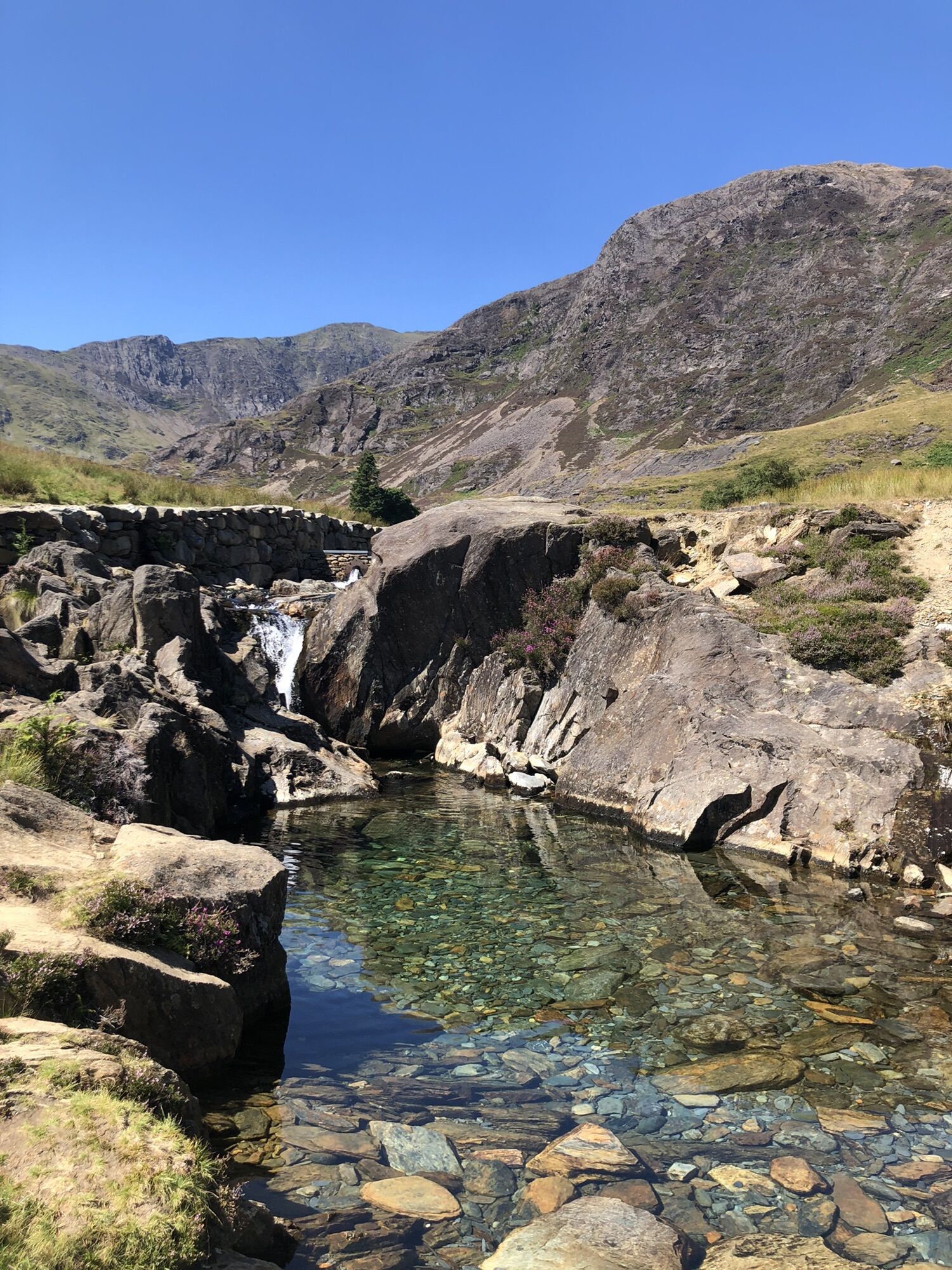
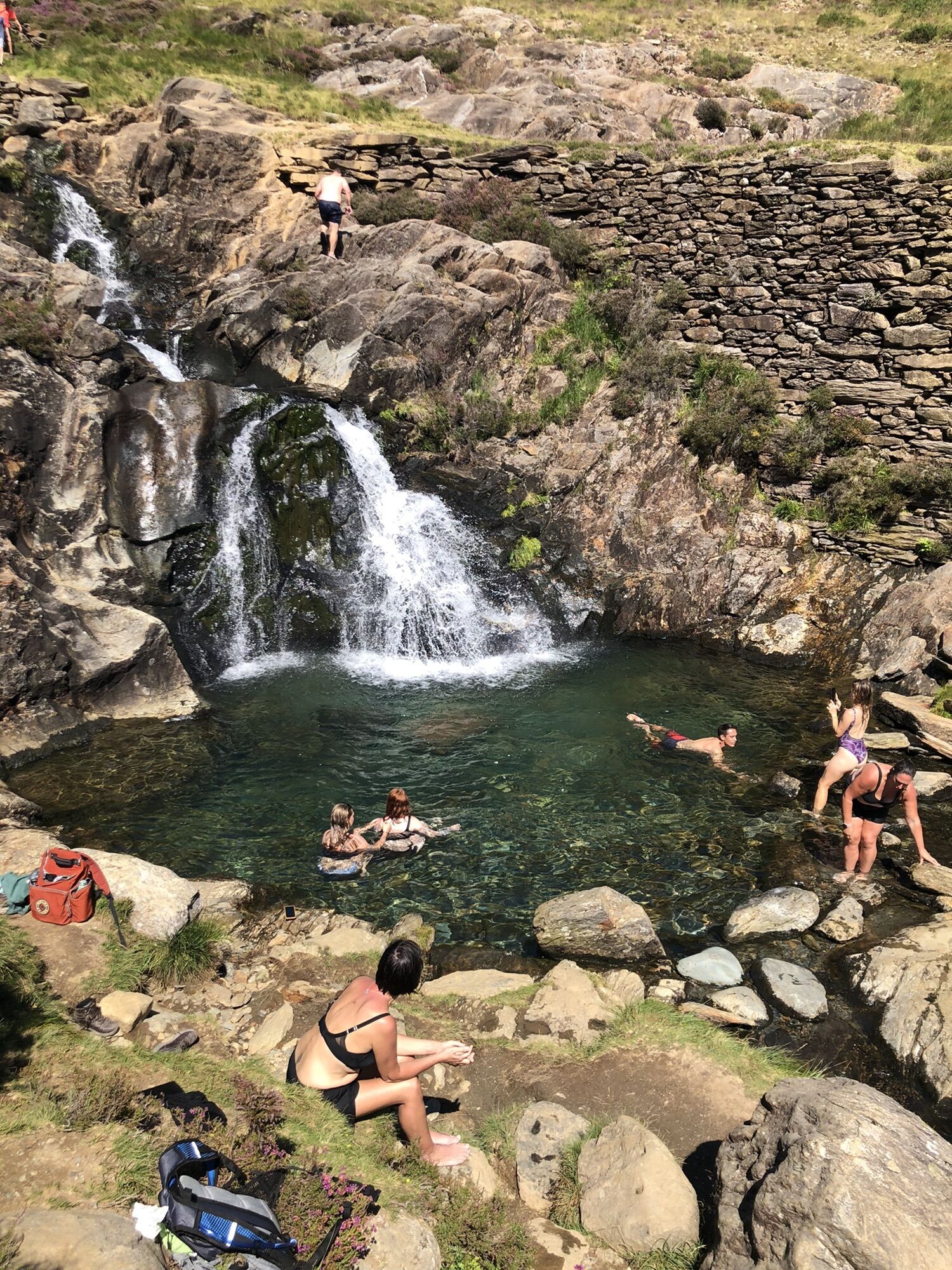
Vandfald
11.8 km
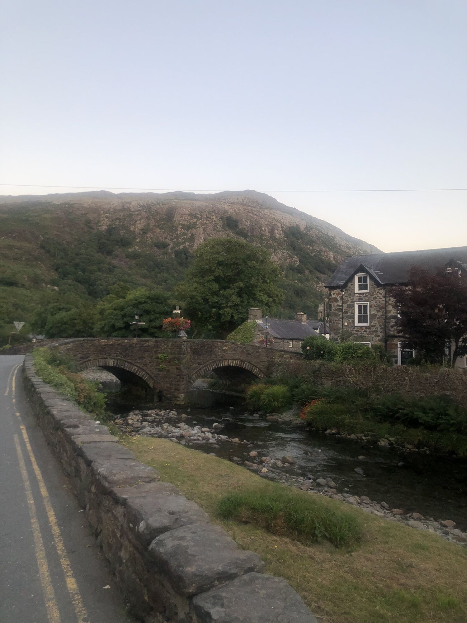
Beddgelert
(38 m)
Landsby
18.4 km
Rute
Bwlch Glâs
(998 m)
Mountain-sadel
6.2 km
Summit
(1064 m)
Jernbanestation
6.7 km
Snowdon
(1085 m)
Topmøde
6.8 km
Bwlch Ciliau
(744 m)
Mountain-sadel
8.5 km
Adwy Bwlch Du
(298 m)
Korridor/terræn
10.8 km
Plas Cwmllan
(258 m)
Korridor/terræn
11.1 km
Cwm Llan
(166 m)
Vandfald
11.8 km
Beddgelert
(38 m)
Landsby
18.4 km

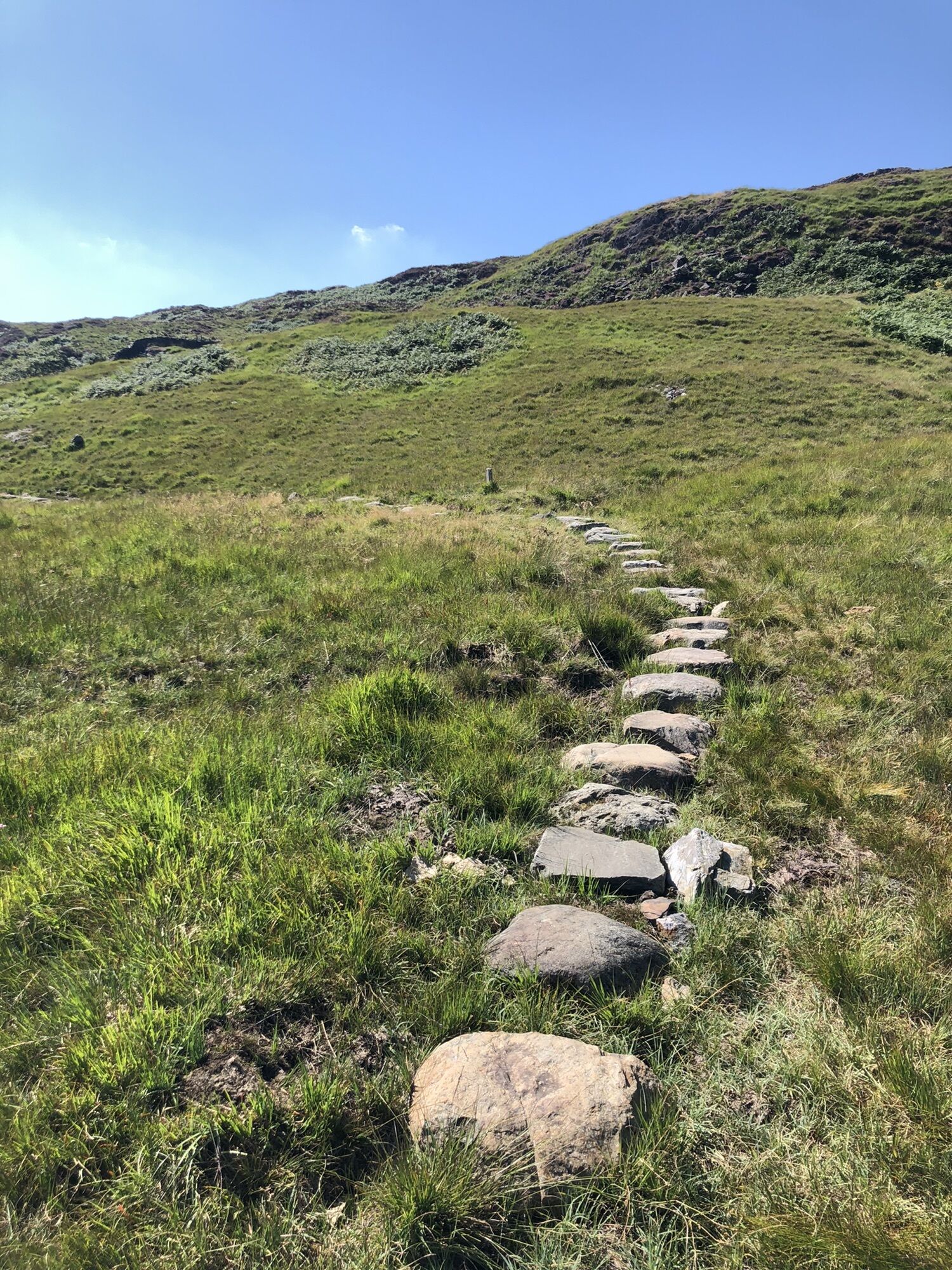
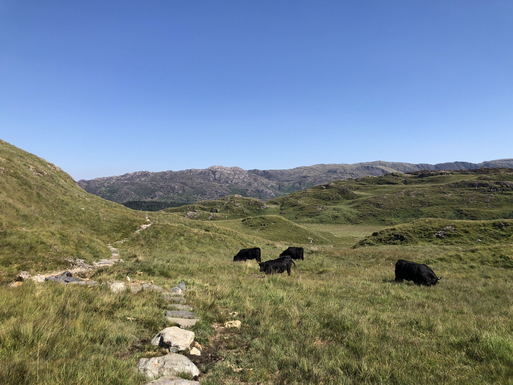
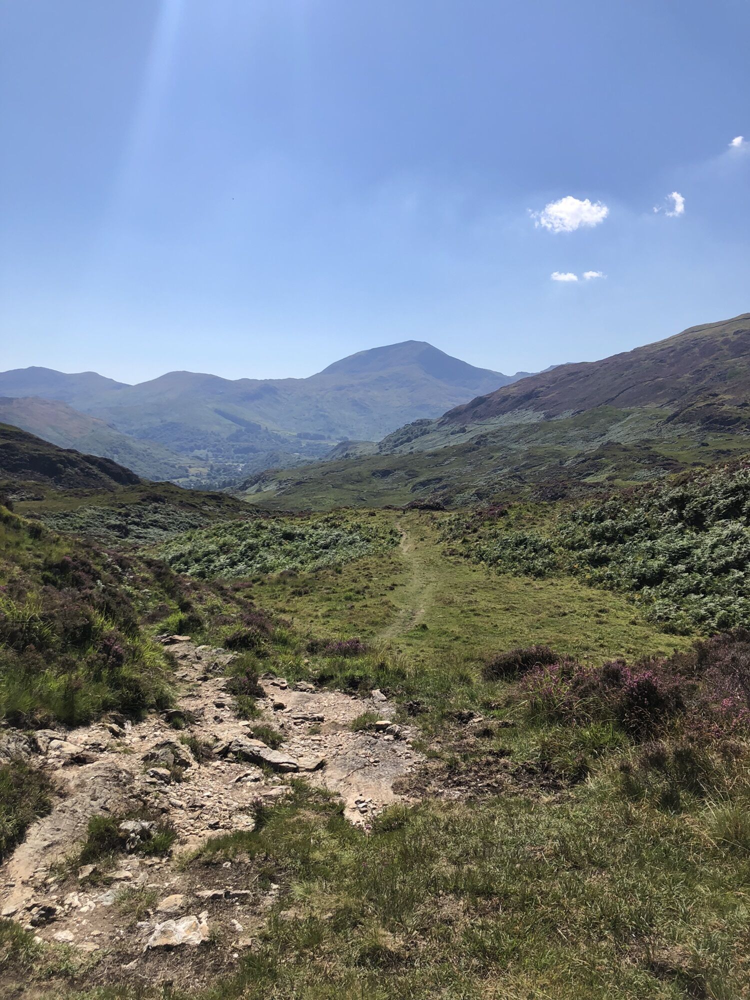
Information om ruten
Rute
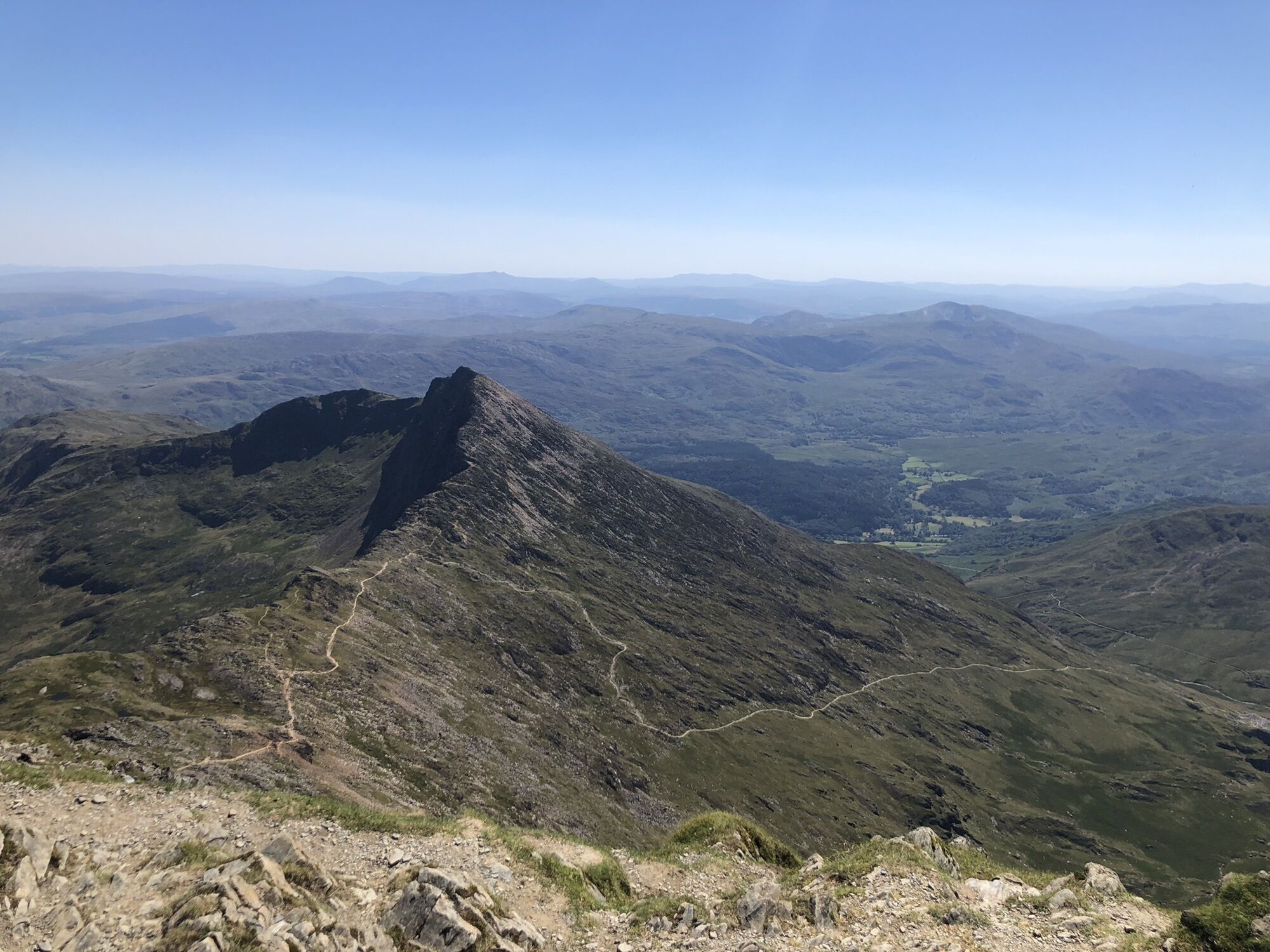
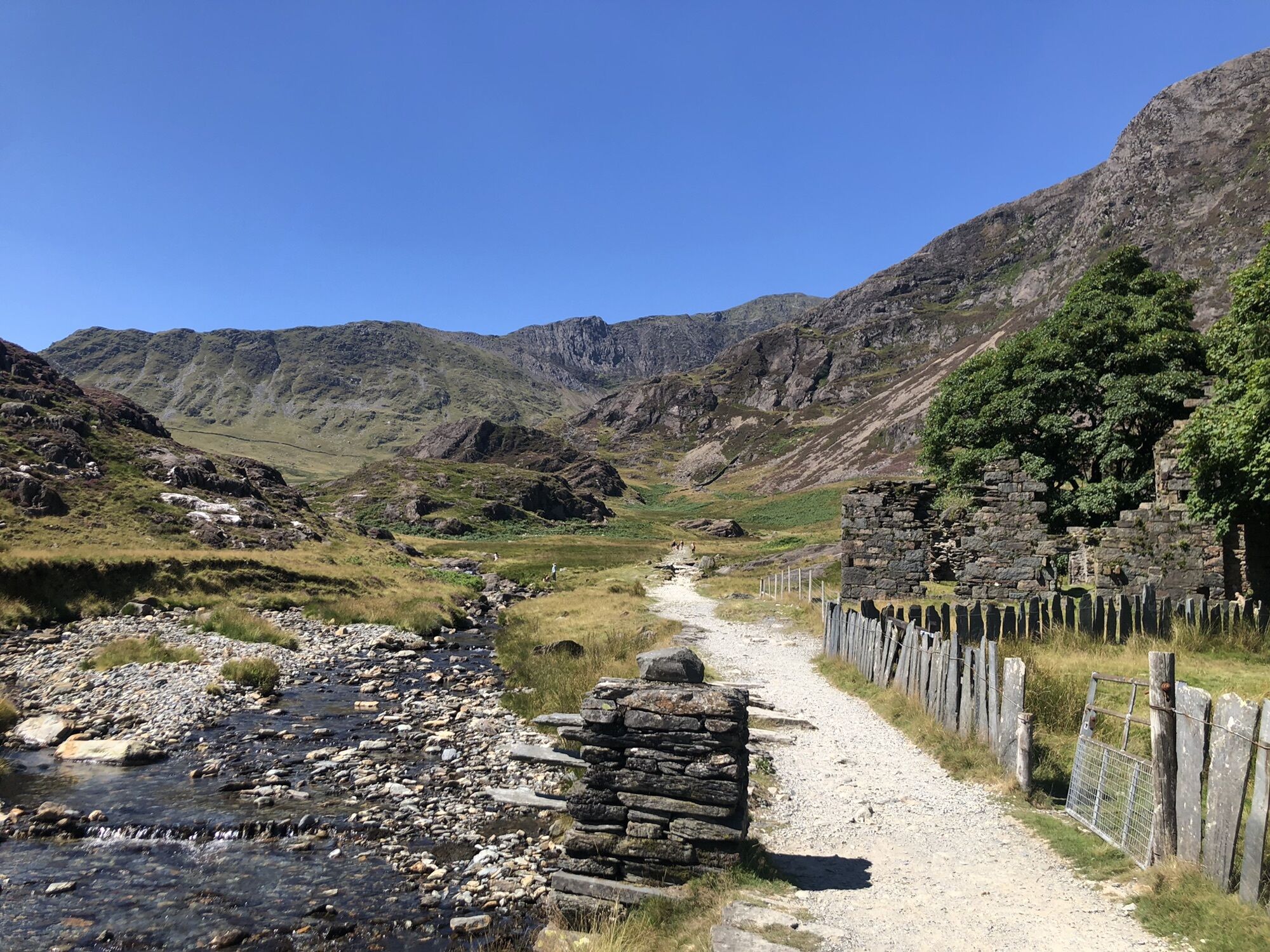
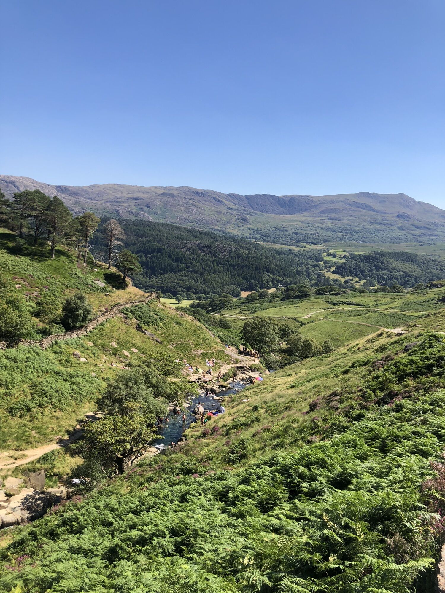
Get up to Pen-y-Pass by Bus, starting the Miners Track and then going back on the Watkin Path until the waterfalls and then turn right and have a beautiful walk by yourself.
Information om ankomst
Offentlig transport
S4 to Penn-y-Pass
Parkering
Parking Place at Penn-y-Pass
Ingen anmeldelser endnu
Populære ture i området
-
Fishermen's Trail
MediumVandring 13.3 km -
Croesor - Cnicht - Cnicht North Top - Croesor Uchaf
MediumVandring 10.4 km -
Nantmor Mountain Centre - Cnicht - Cnicht North Top - Beddgelert
MediumVandring 11.1 km -
Croesor - Cnicht - Moelwyn Mawr - Moelwyn Bach
tungVandring 18.1 km -
Blaenau Ffestiniog - Moelwyn Bach - Moelwyn Mawr - Beddgelert
tungVandring 26.3 km -
Maentwrog - Moelwyn Mawr - Cnicht - Beddgelert
tungVandring 24.0 km -
Garreg - Cnicht - Cnicht North Top - Beddgelert
tungVandring 16.4 km -
Croesor - Cnicht - Cnicht North Top - Pont Sion-goch
MediumVandring 11.2 km -
Beddgelert - Cnicht - Moelwyn Mawr - Gellilydan
tungVandring 23.0 km -
Penrhyndeudraeth - Moelwyn Mawr - Cnicht - Beddgelert
tungVandring 27.1 km
Vandring og sporing

Over 550.000 turforslag, detaljerede kort og en intuitiv ruteplanlægger gør appen til et must-have for alle naturentusiaster.

Gå ikke glip af tilbud og inspiration til din næste ferie
Tilmeld dig nyhedsbrevet
Fejl
Der er opstået en fejl. Prøv venligst igen.
Tak for din tilmelding
Din e-mailadresse er blevet tilføjet til mailinglisten.
Rundrejser i hele Europa
Østrig
Schweiz
Tyskland
Italien
Slovenien
Frankrig
Holland
Belgien
Polen
Liechtenstein
Tjekkiet
Slovakiet
Spanien
Kroatien
Bosnien-Hercegovina
Luxembourg
Andorra
Portugal
Iceland
United Kingdom
Ireland
Greece
Albania
North Macedonia
Malta
Norway
Montenegro
Moldova
Kosovo
Hungary
San Marino
Romania
Estonia
Latvia
Belarus
Cyprus
Lithuania
Serbia
Bulgaria
Monaco
Denmark
Sweden
Finland