


Sværhedsgrad: T2


Billeder af vores brugere
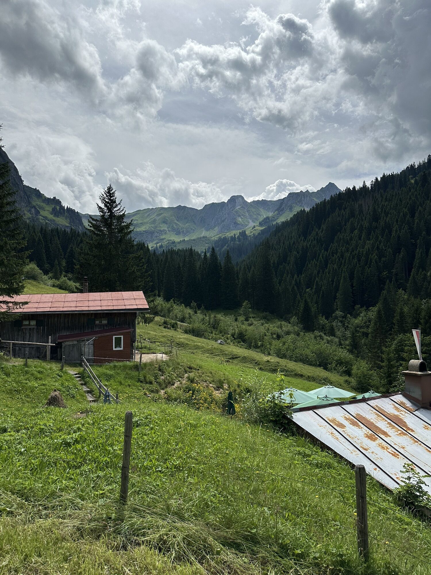
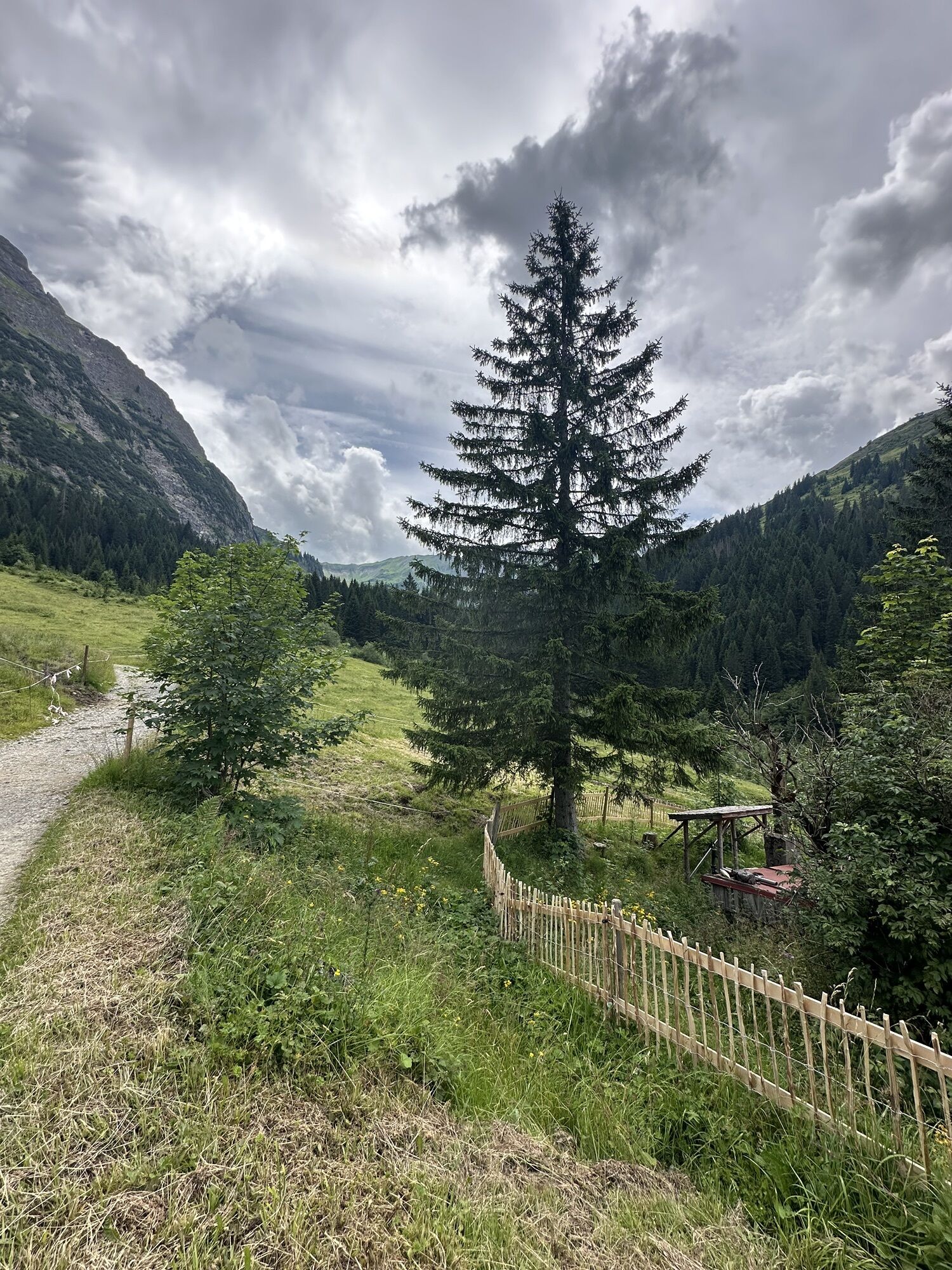
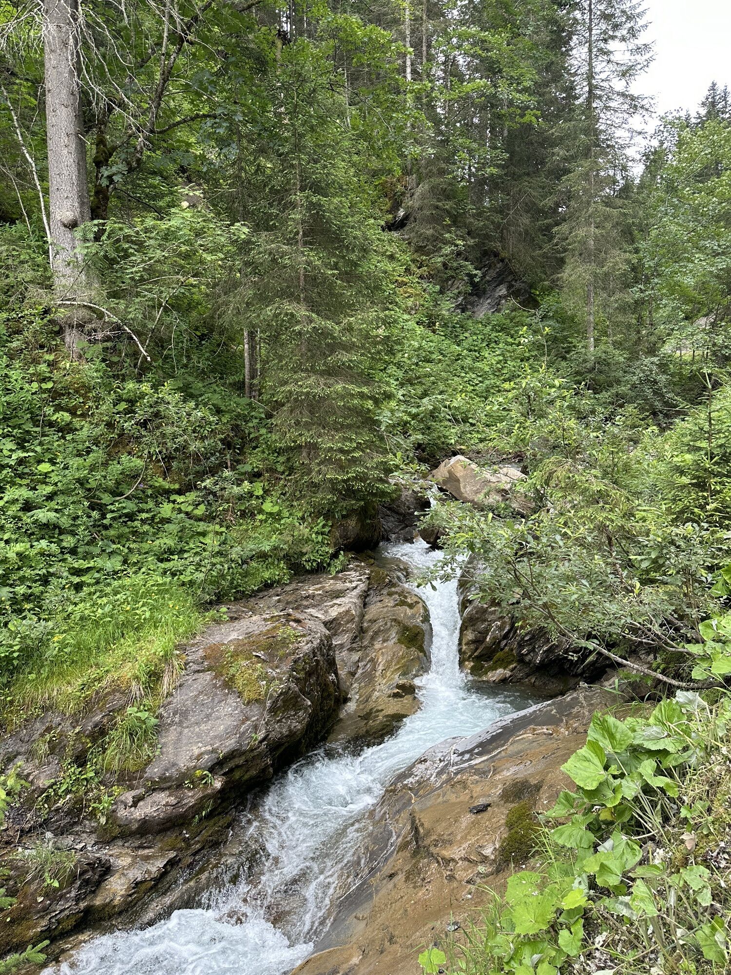
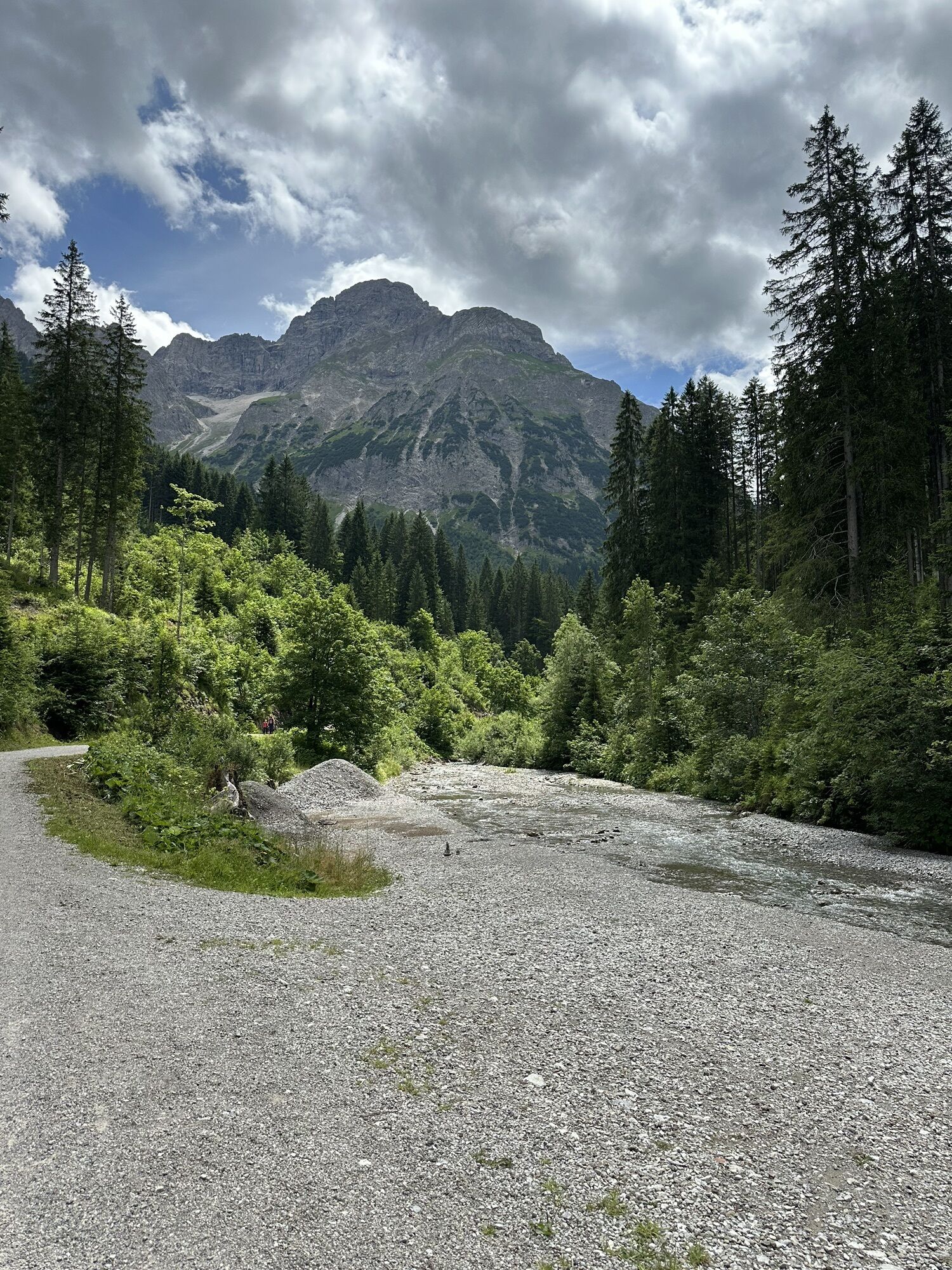
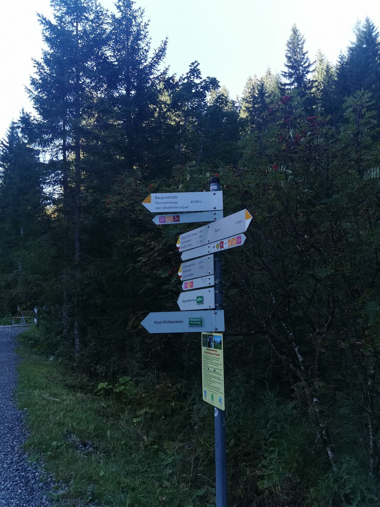
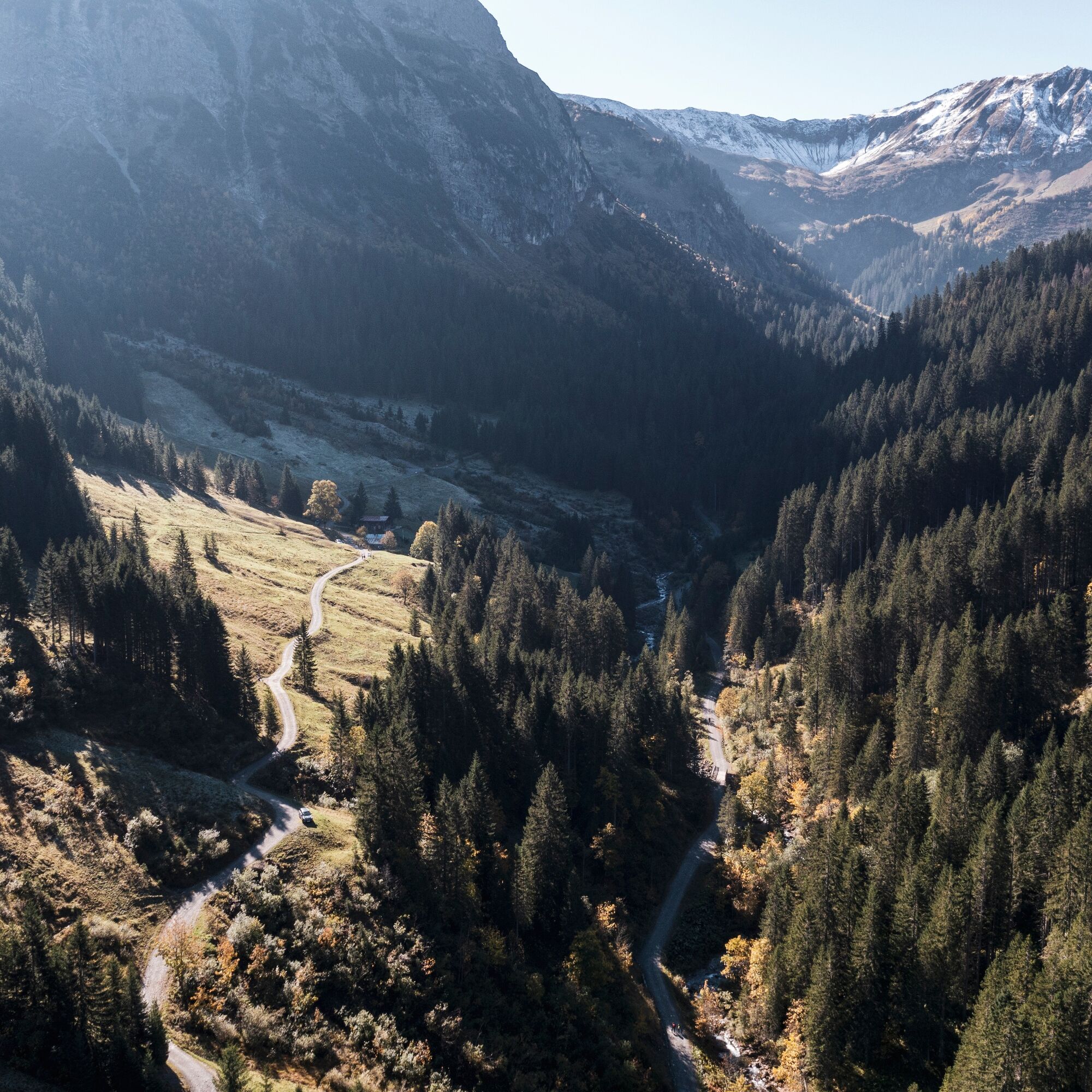
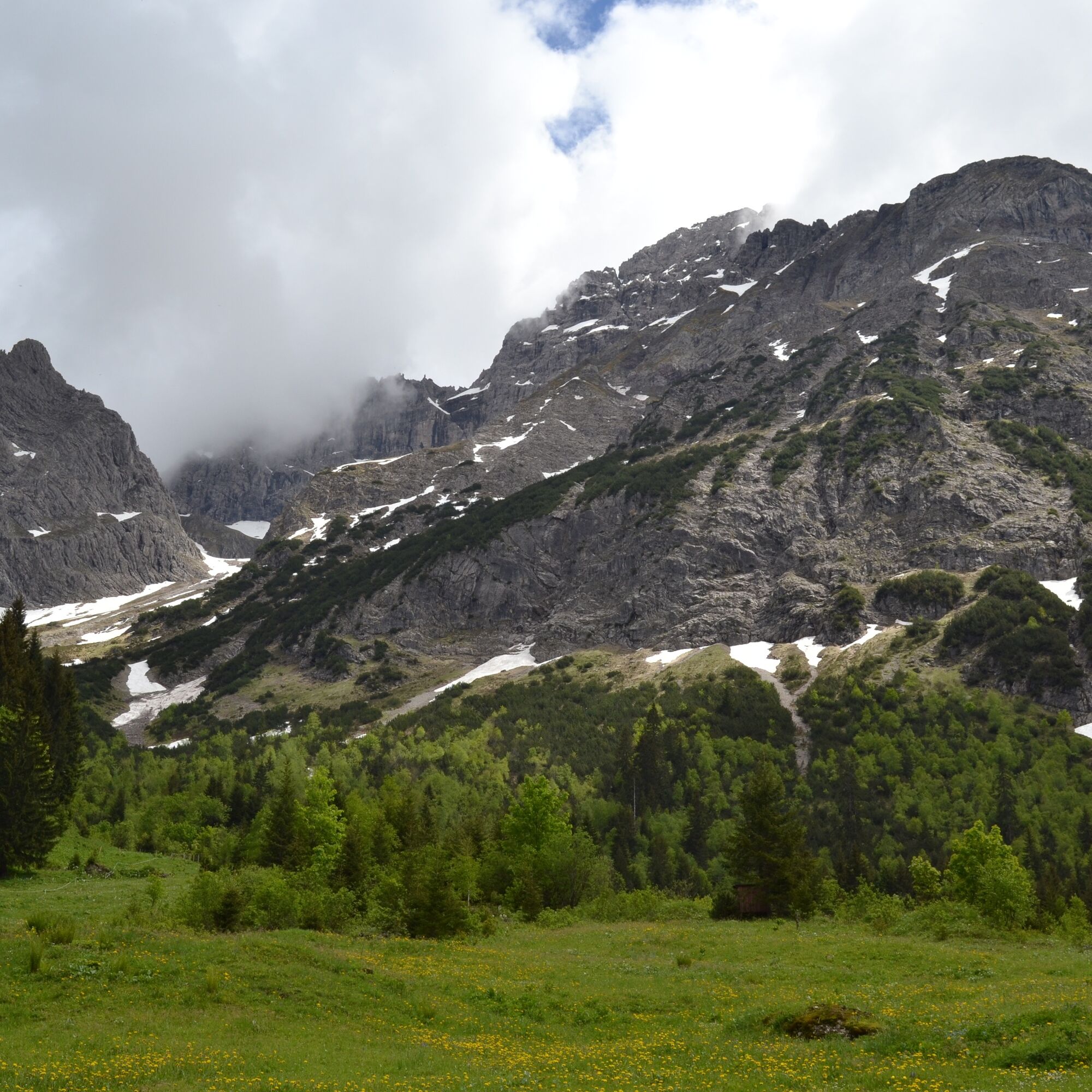
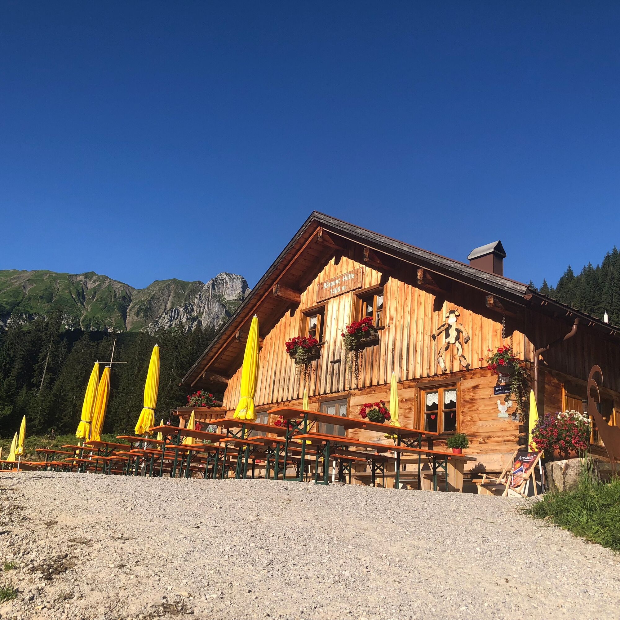
From the Baad bus stop, a wide alpine path leads gently ascending along the Bärguntbach up to the managed Bärgunt hut. From there, the return path leads down a panoramic trail on the other side of the...
From the Baad bus stop, a wide alpine path leads gently ascending along the Bärguntbach up to the managed Bärgunt hut. From there, the return path leads down a panoramic trail on the other side of the stream at the foot of the Widderstein to the managed Widdersteinalpe. Here the hiking trail joins the already known path and follows the familiar route back to Baad.

Hiking parking lot Baad - Bärgunthütte - Inner Widdersteinalpe - Outer Widdersteinalpe - Hiking parking lot Baad
Ja
Ja
Weather-appropriate clothing and sturdy footwear. Hiking poles are recommended for steeper sections if necessary.
EMERGENCY CALL:
144 Alpine emergencies Vorarlberg
112 European emergency number (works with any mobile/ network)
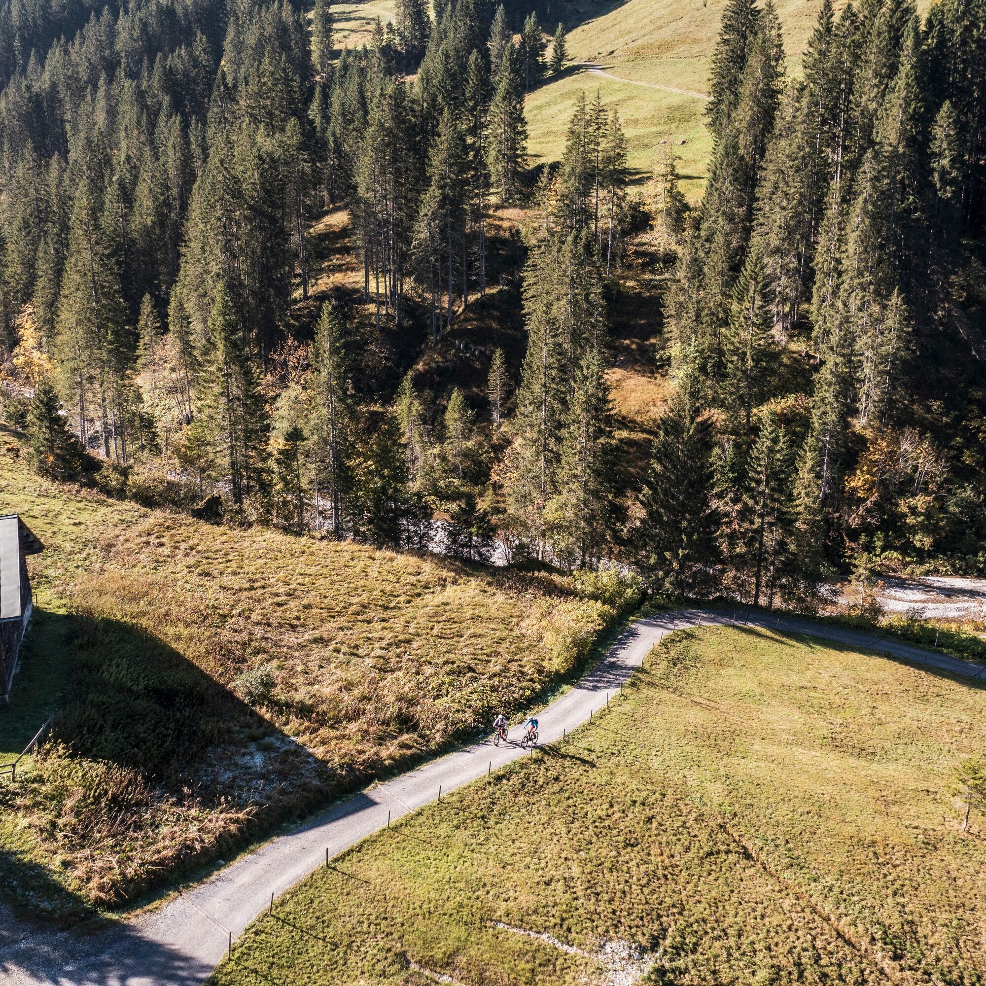
The Bärgunttal is very popular in summer both with bikers and walkers. Cyclists and hikers here respect each other.
Most routes from Germany converge in Ulm and continue on the A7. At the Allgäu motorway junction, take the A980 section to the Waltenhofen exit and via the four-lane B19 through Sonthofen and Oberstdorf into the Kleinwalsertal. From Austria (Vorarlberg) and Switzerland, Kleinwalsertal can be reached via the Bregenz Forest (Hittisau) – Riedberg Pass – Fischen – Oberstdorf. From Tyrol, the quickest route is via the A7 to Kempten and then on the B19 towards Oberstdorf. No motorway vignette is required for the journey into the valley.
Just leave the car behind!
It is possible to use the Walserbus for arrival. Bus line 1 serves the town of Baad. For this route, get off at the "Baad" stop.
Paid parking directly at the starting point.
T2
The Bärgunttal is a valley with history: it was already traversed by hunters and gatherers in the Stone Age. When the Kleinwalsertal was settled in the late Middle Ages, the Tannberg and thus the Bärgunttal was probably the most important access route.
Bring binoculars and watch out for chamois and ibex on the rocks!
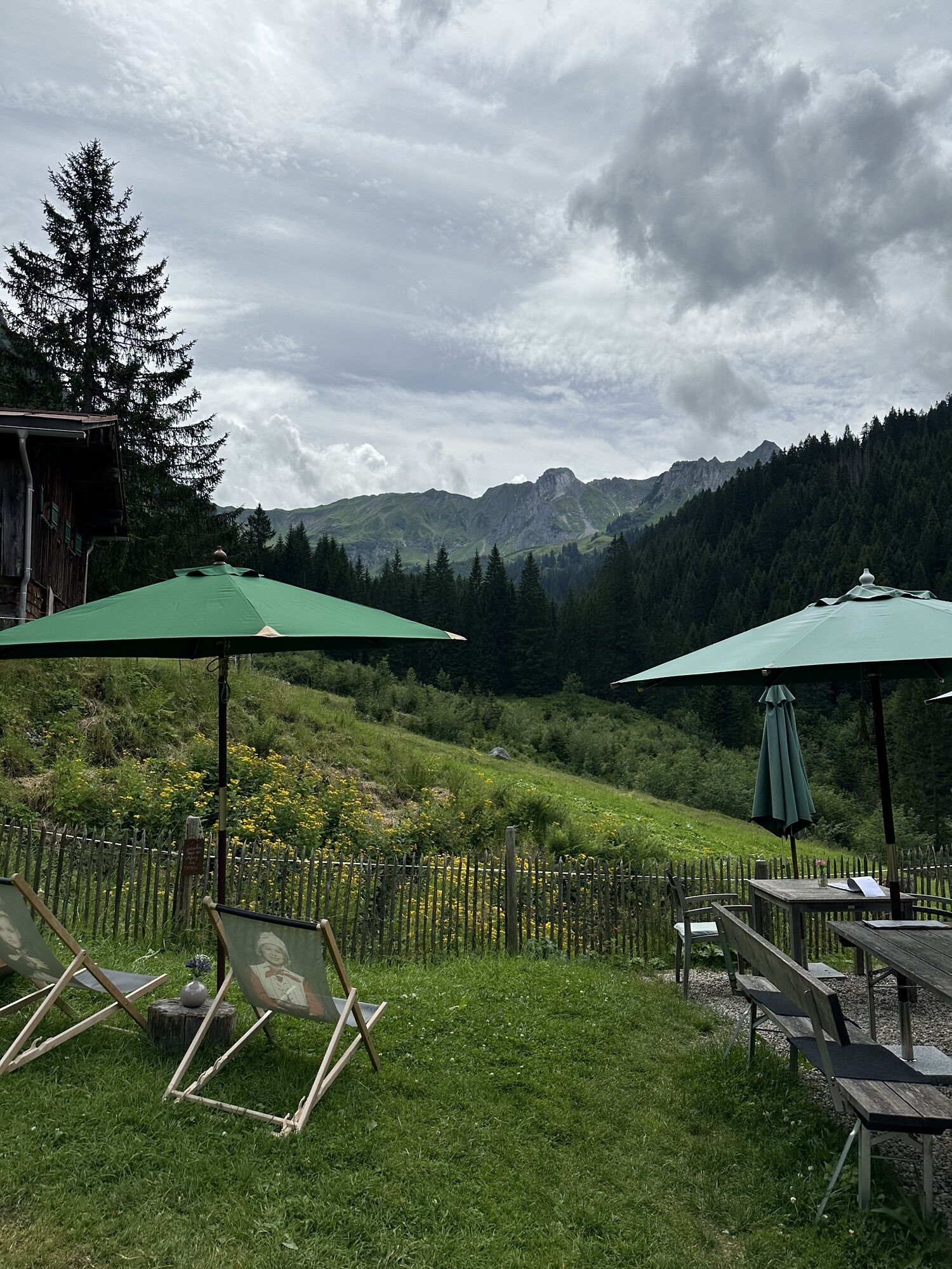
This easy circular hike leads to two GenussHütten, which are suitable for a cozy stop. On this occasion, the hut keepers are happy to tell you something about the philosophy of alpine farming: where the fresh products of meat and milk come from, why a close relationship with their producers is important to them, and what the designation as an Austrian “GenussHütte” means. All of this with a view of the sensational mountain panorama of the hinter Kleinwalsertal.
Webkameraer på turen
-
Zaferna Bergstation
-
Wildentalhütte
-
Hochalphütte
-
Salober Ski Arena
-
Salober-Jet Berg
-
Schröcken
-
Mittelberg - Haus Walser Berge
-
Körbersee
-
Mittelberg - Bergpension Starzelhaus
-
Mittelberg - Bergpension Starzelhaus
-
Warth-Schröcken - Widdersteinhütte
-
Mittelberg - Gästehaus Otto Fritz
-
Schröcken - Oberboden
-
Walmendingerhorn
-
Walmendingerhorn
-
Walmendingerhorn
-
Walmendingerhorn
-
Walmendingerhorn
-
Walmendingerhorn
-
Walmendingerhorn
-
Kleinwalsertal - Ifenbahn
-
Warth
Populære ture i området
-
4.4
Mountain tour over the Fellhorn ridge
MediumVandring 8.24 km -
3.4
Mountain tour over the Hoher Ifen
tungVandring 13.9 km -
4.7
Kanzelwand nach Söllereck
MediumVandring 8.58 km -
4.7
Widderstein Runde von Baad
MediumVandring 15.7 km -
4.2
Kanzelwand- Fellhorn- Kanzelwand
lysVandring 7.60 km -
4.8
Round trip Gemstel
lysVandring 5.57 km -
4.9
Schöne Rundtour vom Fellhornbahn Parkplatz
MediumVandring 29.0 km -
4.2
Hiking through the Schwarzwassertal via Melköde to the Schwarzwasserhütte
MediumVandring 4.94 km -
4.3
Mountain route around the great Widderstein
tungVandring 15.7 km -
4.5
Walmendingerhorn - Schwarzwasserhütte - Auenhütte
MediumVandring 10.8 km
Vandring og sporing


Gå ikke glip af tilbud og inspiration til din næste ferie
Din e-mailadresse er blevet tilføjet til mailinglisten.