Lusérn - Luserna - Casare Mandrielle Vecchio Patrimonio - Monte Verena - Monte Costesin
tung
Naviger
Naviger
Få denne tur på din mobiltelefon
Lusérn - Luserna - Casare Mandrielle Vecchio Patrimonio - Monte Verena - Monte Costesin
tung
Mountainbike
53.53
km
Scan QR-koden, og start navigationen i bergfex -appen

Vandring og sporing


Afstand
53.53
km
Varighed
05:31
h
Opstigning
1700
hm
Havets niveau
1282 -
1994
m
Download af spor
Lusérn - Luserna - Casare Mandrielle Vecchio Patrimonio - Monte Verena - Monte Costesin
tung
Mountainbike
53.53
km


Rute
Lusérn - Luserna
(1333 m)
Landsby
0.2 km
Casare Mandrielle Vecchio Patrimonio
(1586 m)
Korridor/terræn
11.6 km
Ponte del Martin
(1350 m)
Korridor/terræn
22.3 km
Malga Verena
(1695 m)
Korridor/terræn
27.0 km
Monte Verena
(2015 m)
Topmøde
32.2 km
Hüttn
(1420 m)
Korridor/terræn
52.0 km
Lusérn - Luserna
(1333 m)
Landsby
53.3 km
Rute
Lusérn - Luserna - Casare Mandrielle Vecchio Patrimonio - Monte Verena - Monte Costesin
tung
Mountainbike
53.53
km
Lusérn - Luserna
(1333 m)
Landsby
0.2 km
Fonte Costesin (Obartrogar)
(1359 m)
Kilde
6.8 km
Casare Mandrielle Vecchio Patrimonio
(1586 m)
Korridor/terræn
11.6 km
Curva del Martin
(1295 m)
Korridor/terræn
21.5 km
Ponte del Martin
(1350 m)
Korridor/terræn
22.3 km
Malga Quarti di Verena
(1654 m)
Korridor/terræn
25.7 km
Malga Verena
(1695 m)
Korridor/terræn
27.0 km
Casermette
(1817 m)
Korridor/terræn
29.3 km
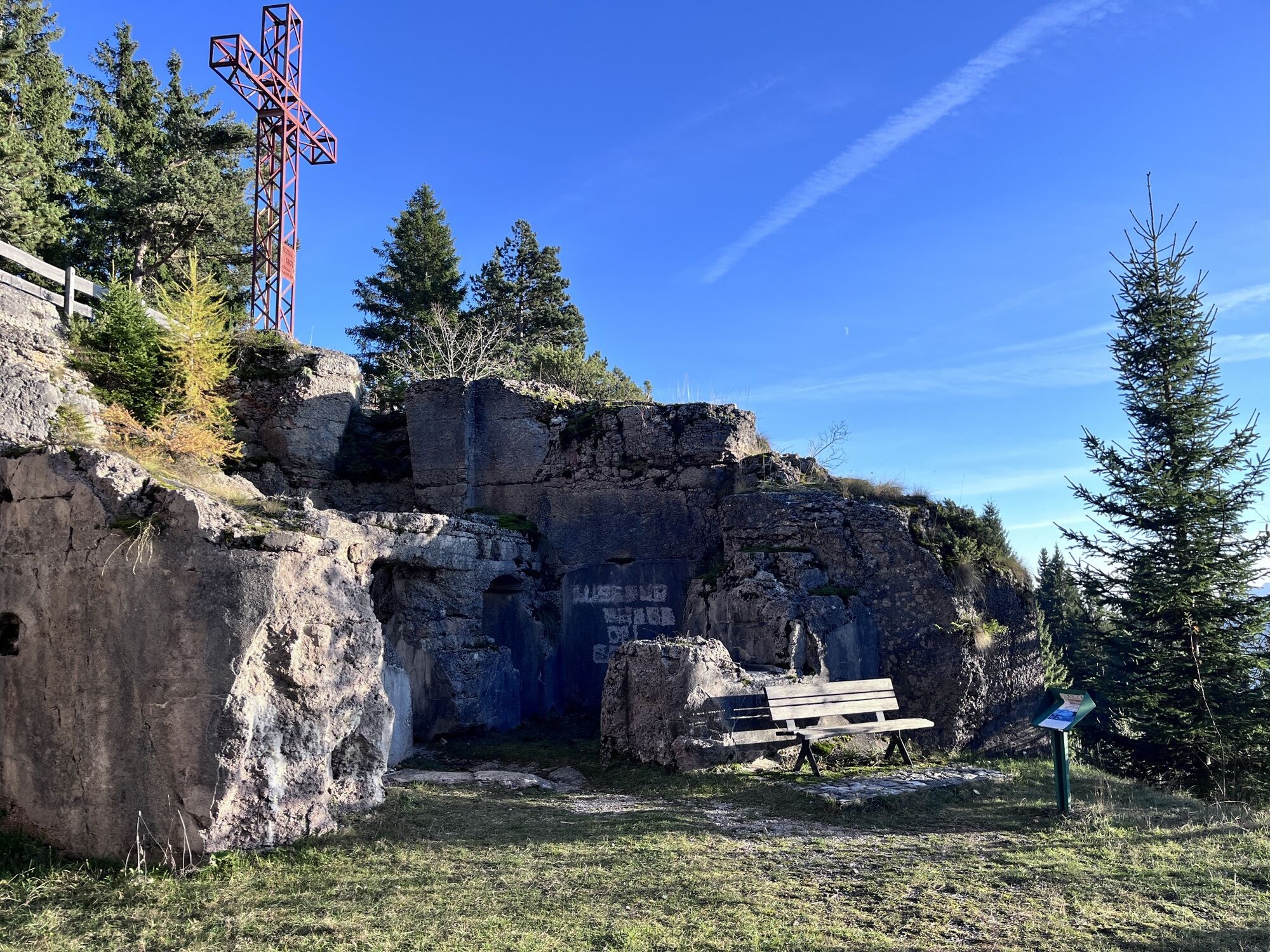
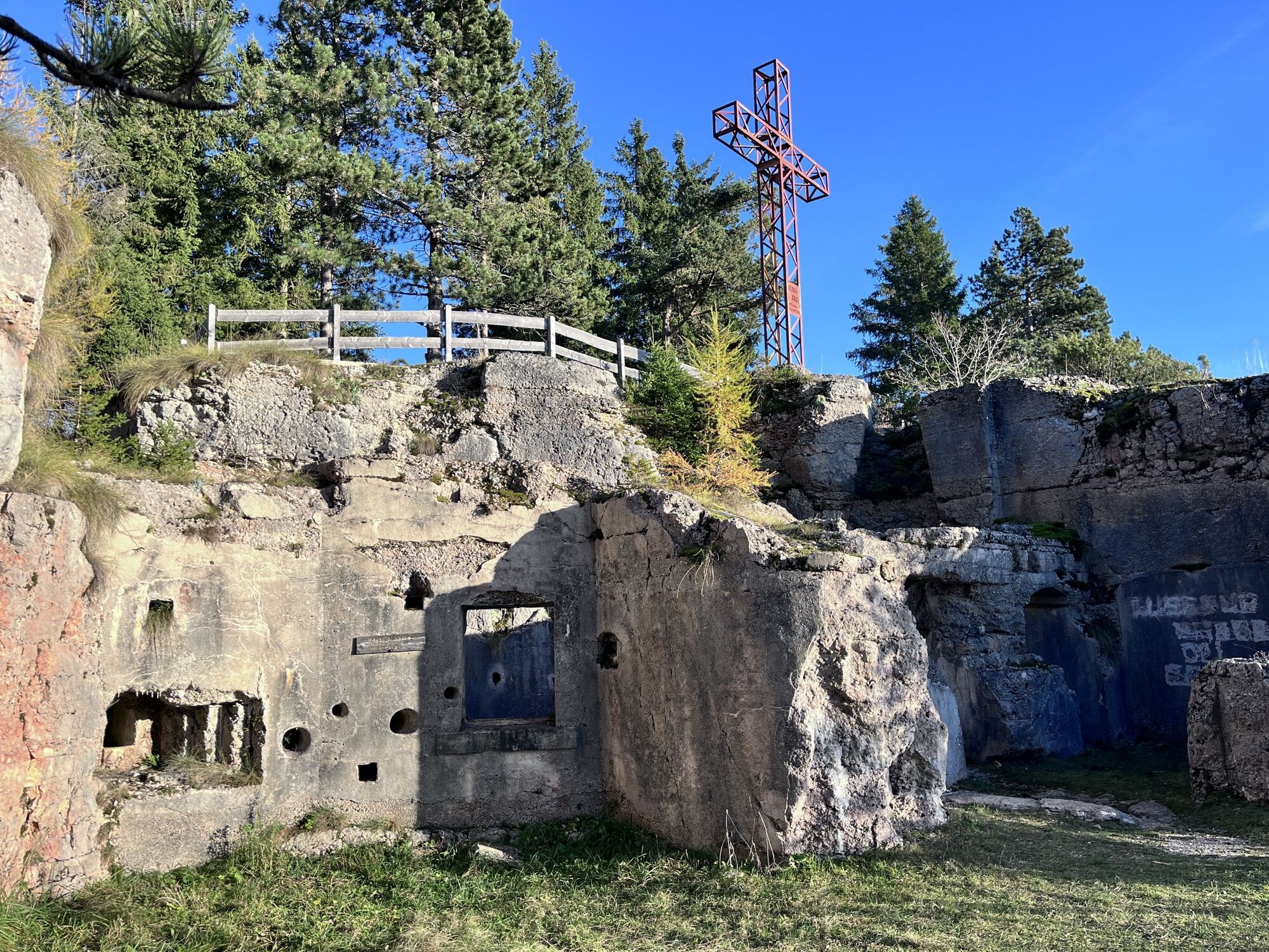
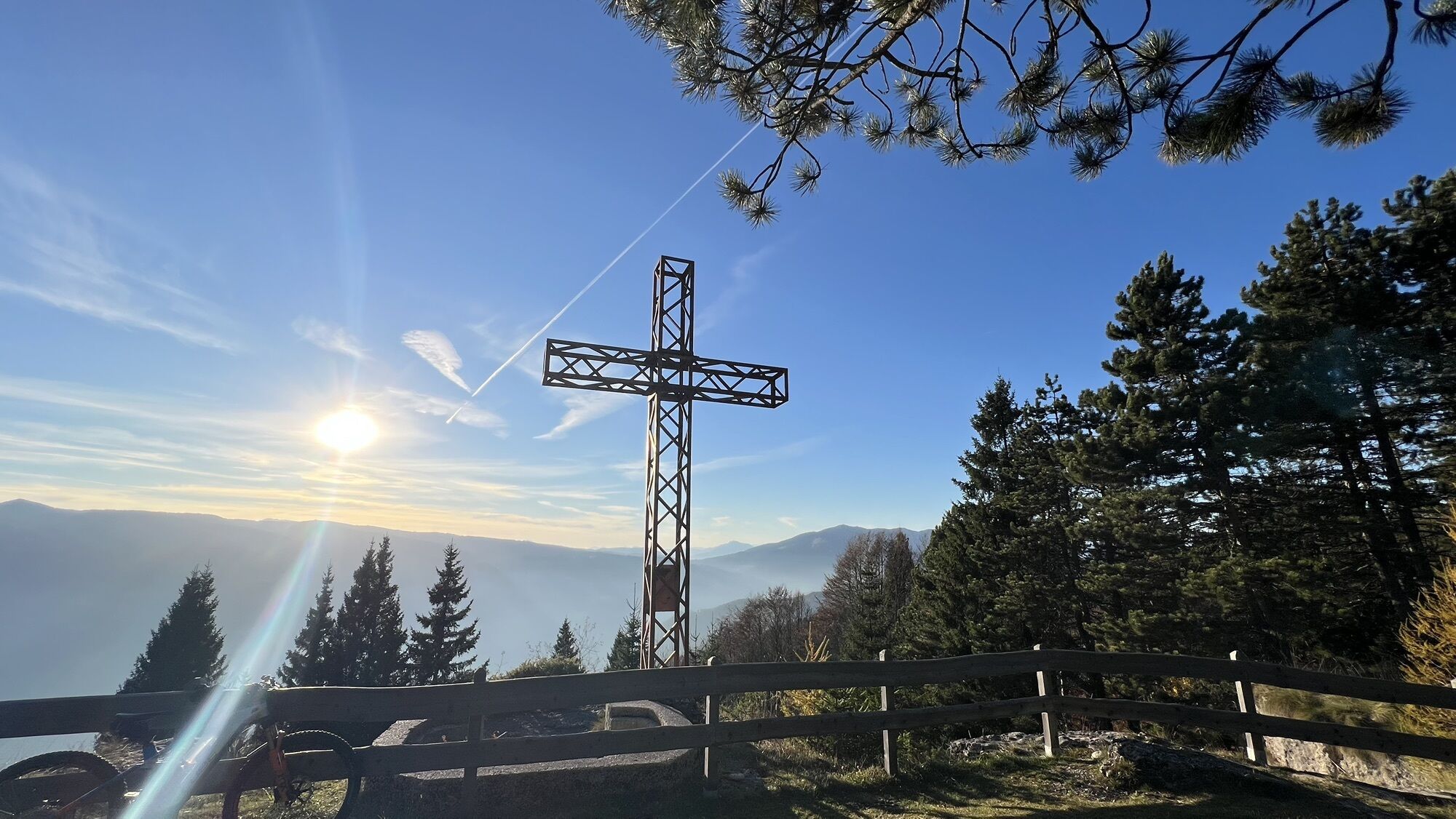
Monte Verena
(2015 m)
Topmøde
32.2 km
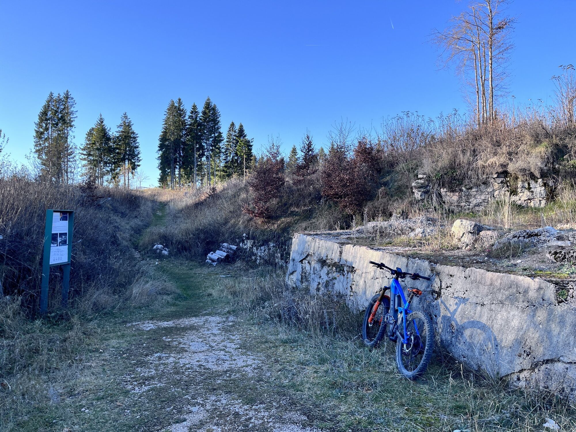
Monte Costesin
(1528 m)
Topmøde
46.1 km
Hüttn
(1420 m)
Korridor/terræn
52.0 km
Lusérn - Luserna
(1333 m)
Landsby
53.3 km
Ingen anmeldelser endnu
Populære ture i området
-
4.7
Cima Vezzana
MediumVandring 11.2 km -
Forte Busa Granada
lysVandring 3.01 km -
Via ferrata anello delle anguane
tungVia ferrata 3.35 km -
Caldonazzosee, Italien
lysVandring 7.95 km -
4.5
Caldonazzo - Levico
MediumCykling 18.9 km -
Piazzale Lozze-cima Caldiera-monte Ortigara
MediumVandring 8.55 km -
Melette anello 12 km
lysVandring 11.5 km -
Caldonazzo Monte Tamazol
MediumVandring 11.0 km -
Ex Comando Ausriaco und Ex Forte Cherle
MediumMountainbike 26 km -
sentiero delle cenge
tungVandring 15.5 km
Vandring og sporing

Over 550.000 turforslag, detaljerede kort og en intuitiv ruteplanlægger gør appen til et must-have for alle naturentusiaster.

Gå ikke glip af tilbud og inspiration til din næste ferie
Tilmeld dig nyhedsbrevet
Fejl
Der er opstået en fejl. Prøv venligst igen.
Tak for din tilmelding
Din e-mailadresse er blevet tilføjet til mailinglisten.
Rundrejser i hele Europa
Østrig
Schweiz
Tyskland
Italien
Slovenien
Frankrig
Holland
Belgien
Polen
Liechtenstein
Tjekkiet
Slovakiet
Spanien
Kroatien
Bosnien-Hercegovina
Luxembourg
Andorra
Portugal
Iceland
United Kingdom
Ireland
Greece
Albania
North Macedonia
Malta
Norway
Montenegro
Moldova
Kosovo
Hungary
San Marino
Romania
Estonia
Latvia
Belarus
Cyprus
Lithuania
Serbia
Bulgaria
Monaco
Denmark
Sweden
Finland