


Sværhedsgrad: T1


The route leads from Castle Ehrenstein along the Ohra and the mill channel to interesting and species-rich biotopes. A diverse plant and animal world can be admired in every season. Particularly impressive...
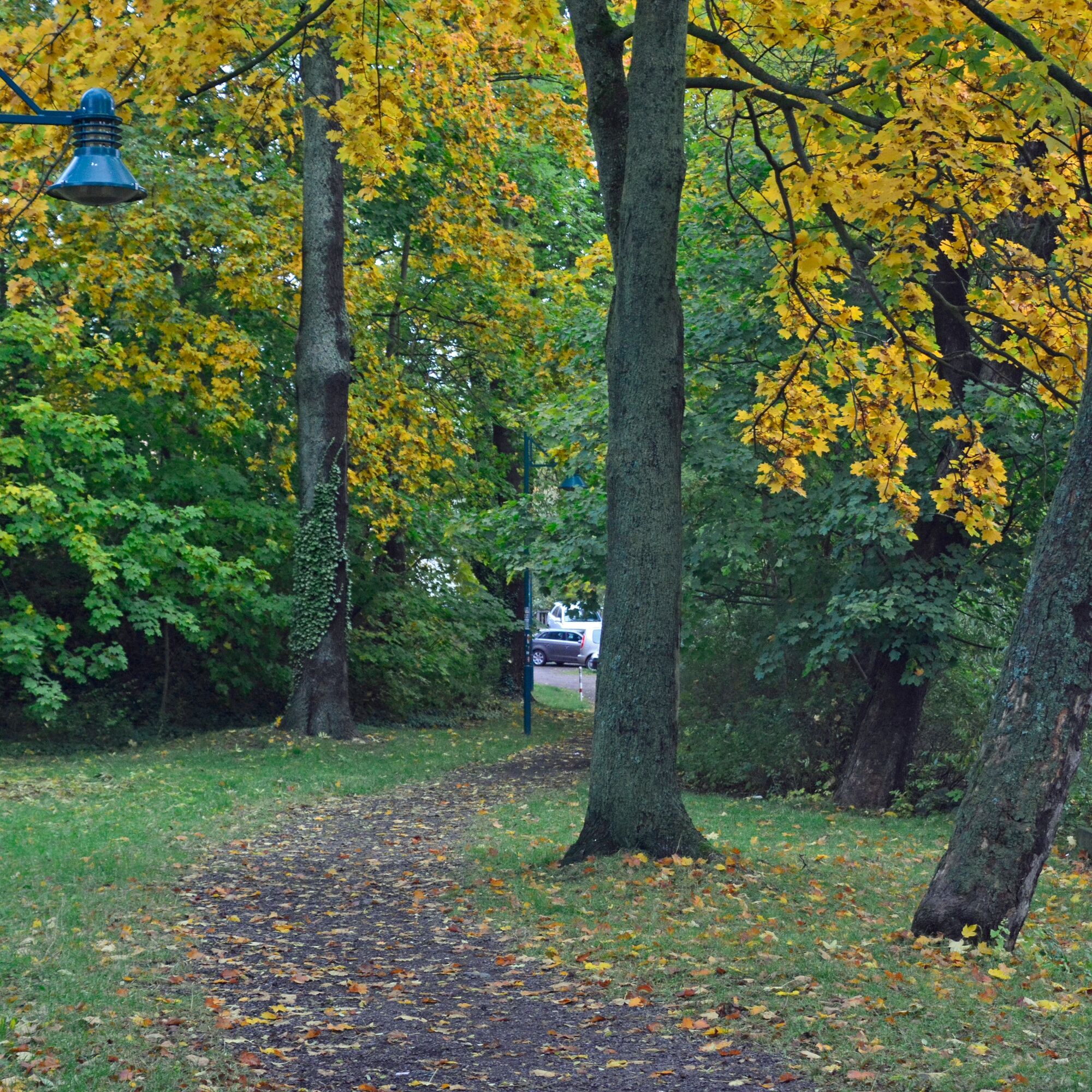
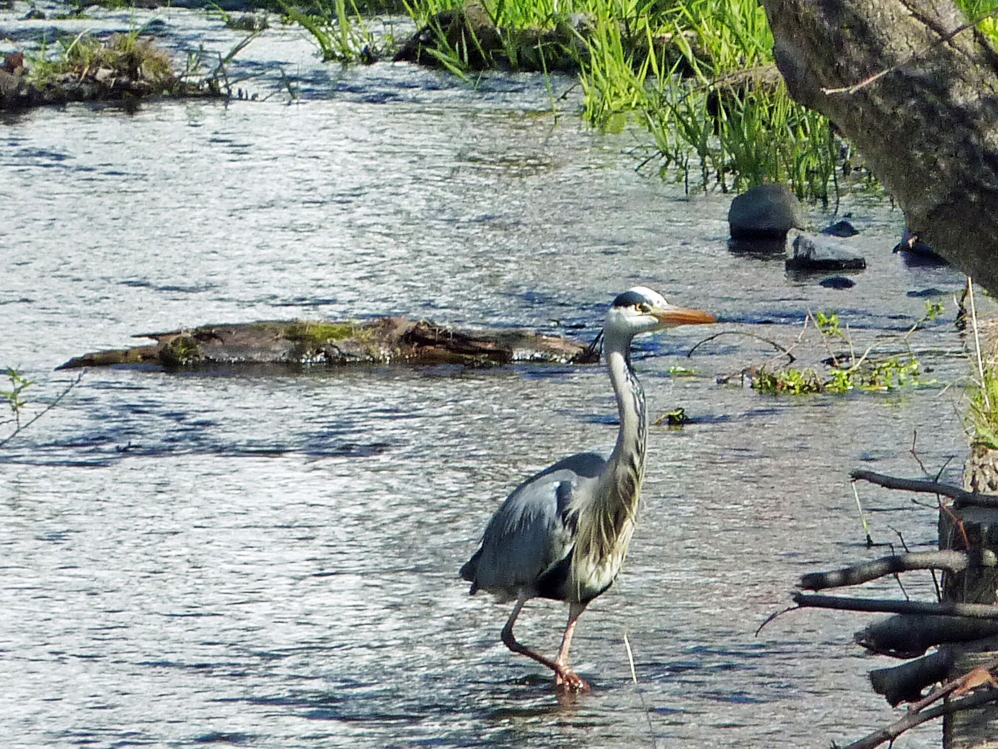
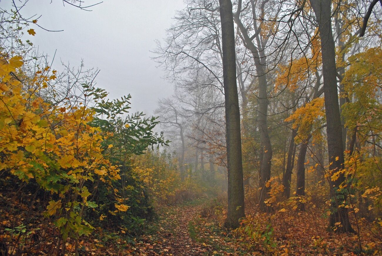
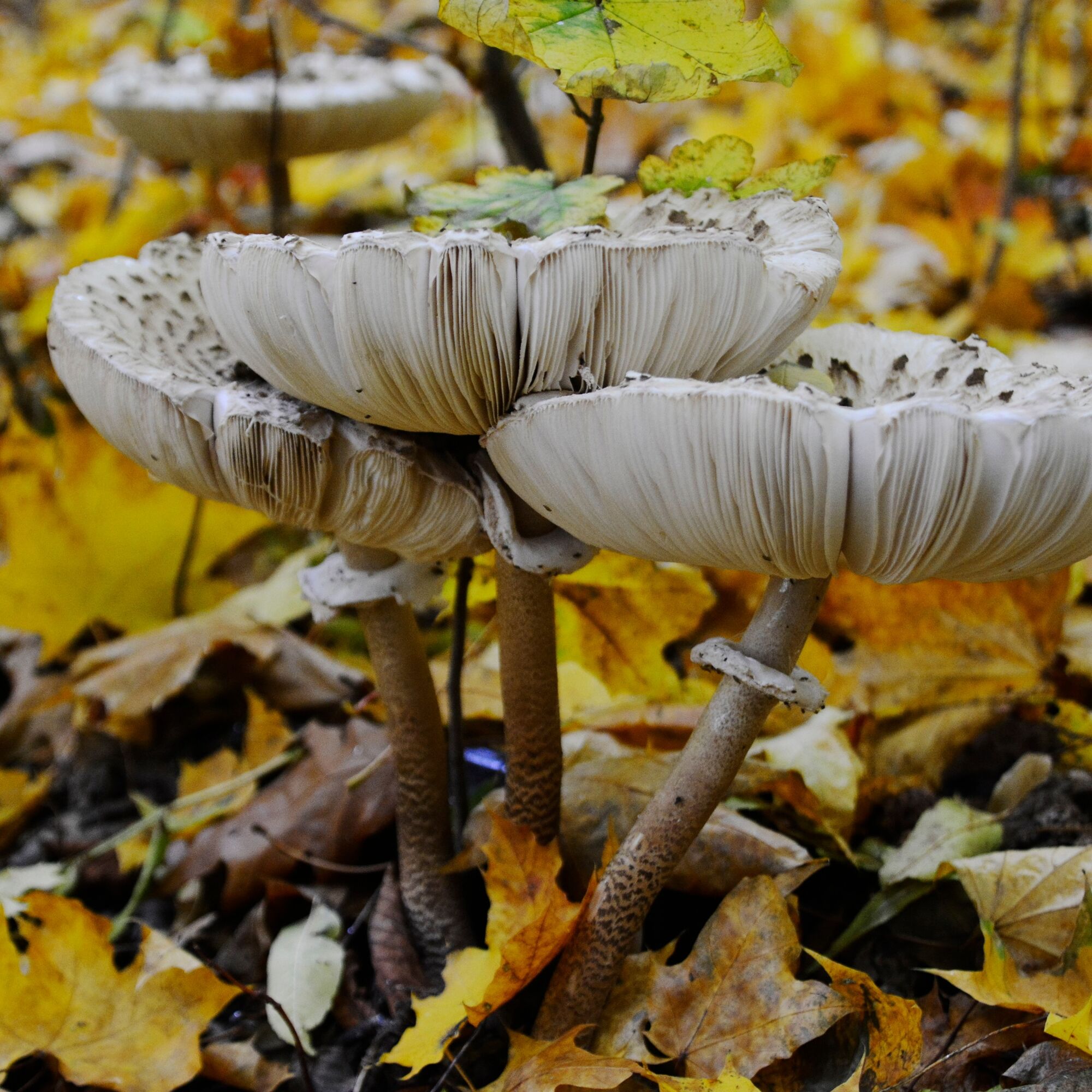
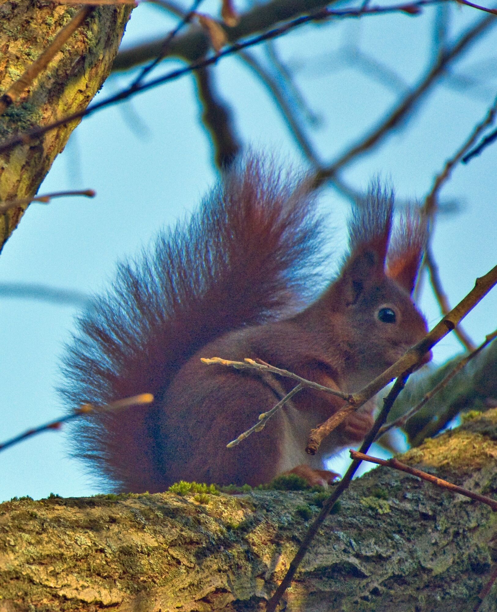
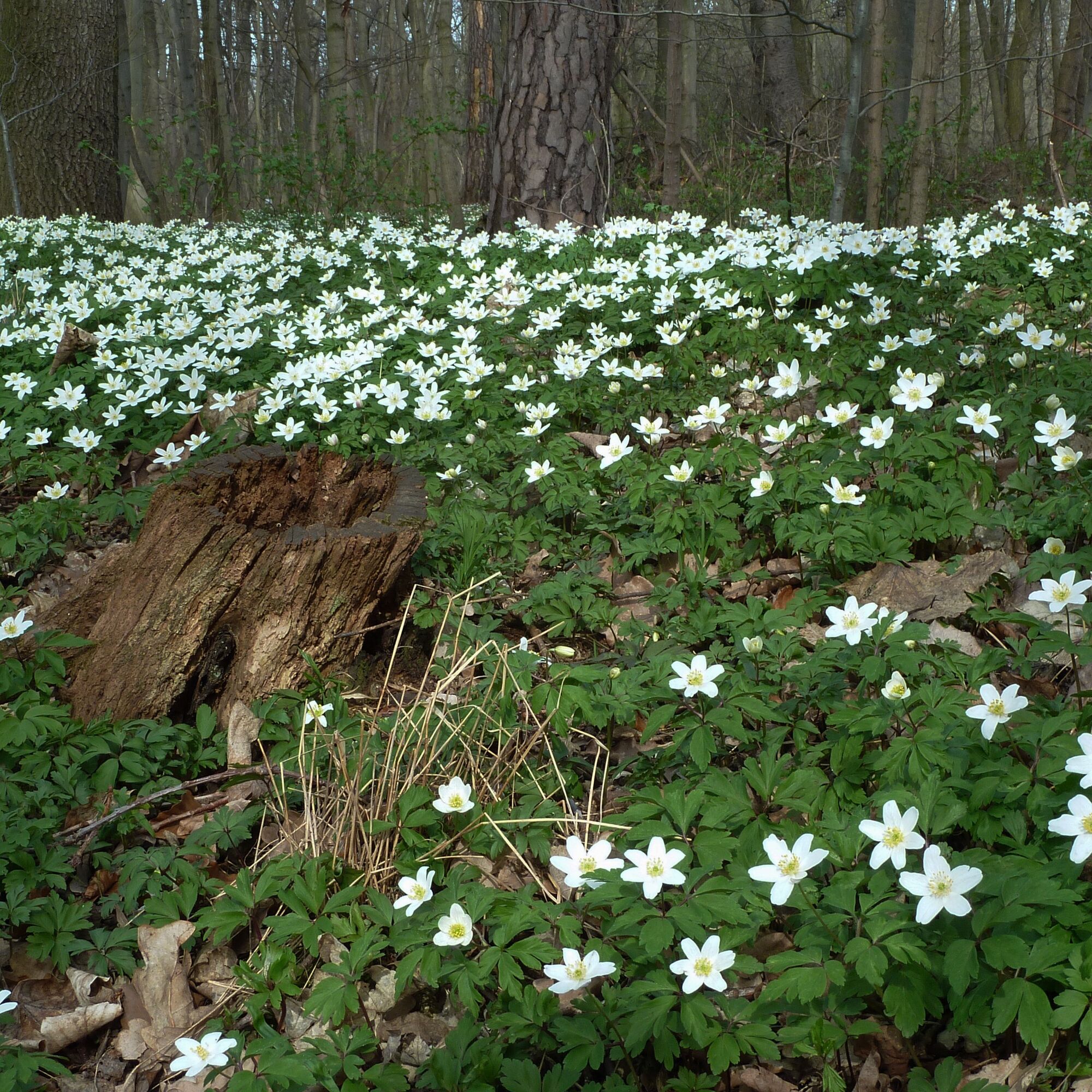
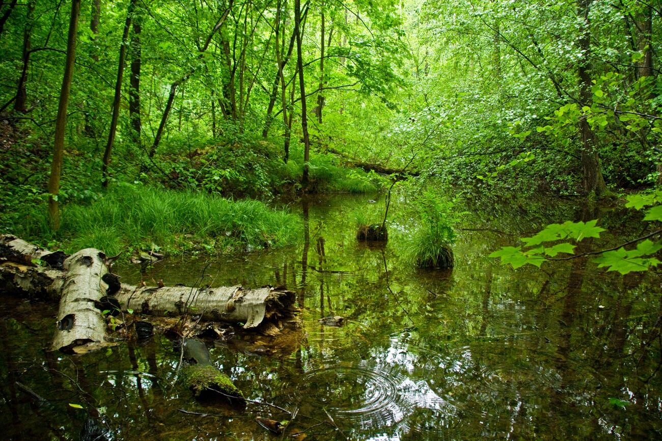
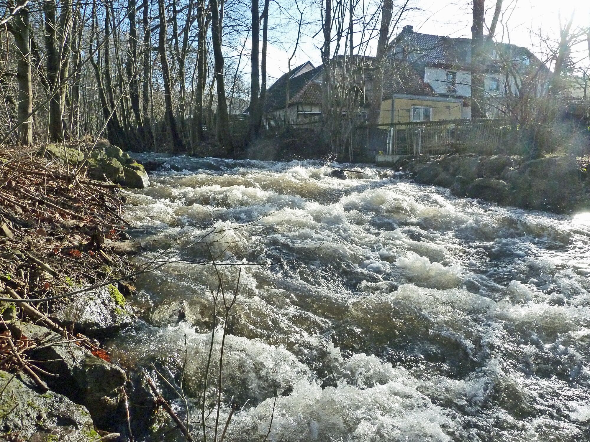
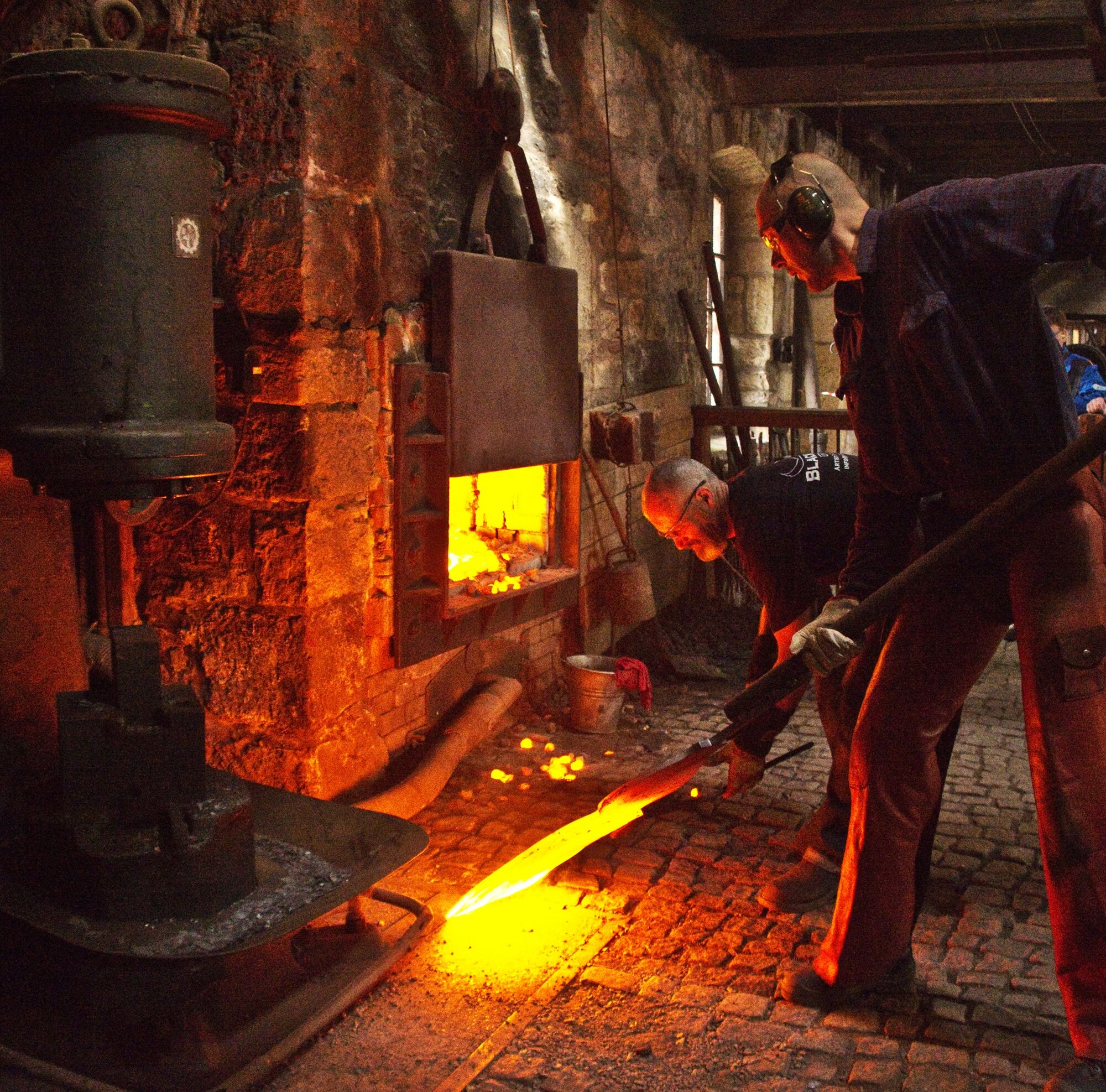
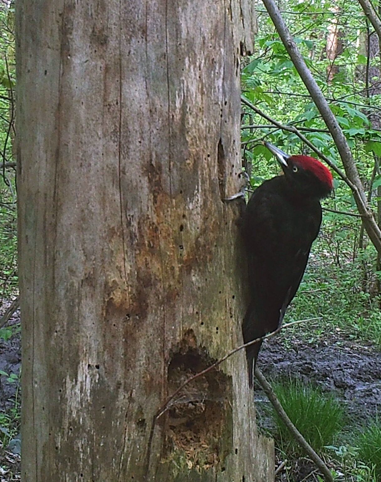
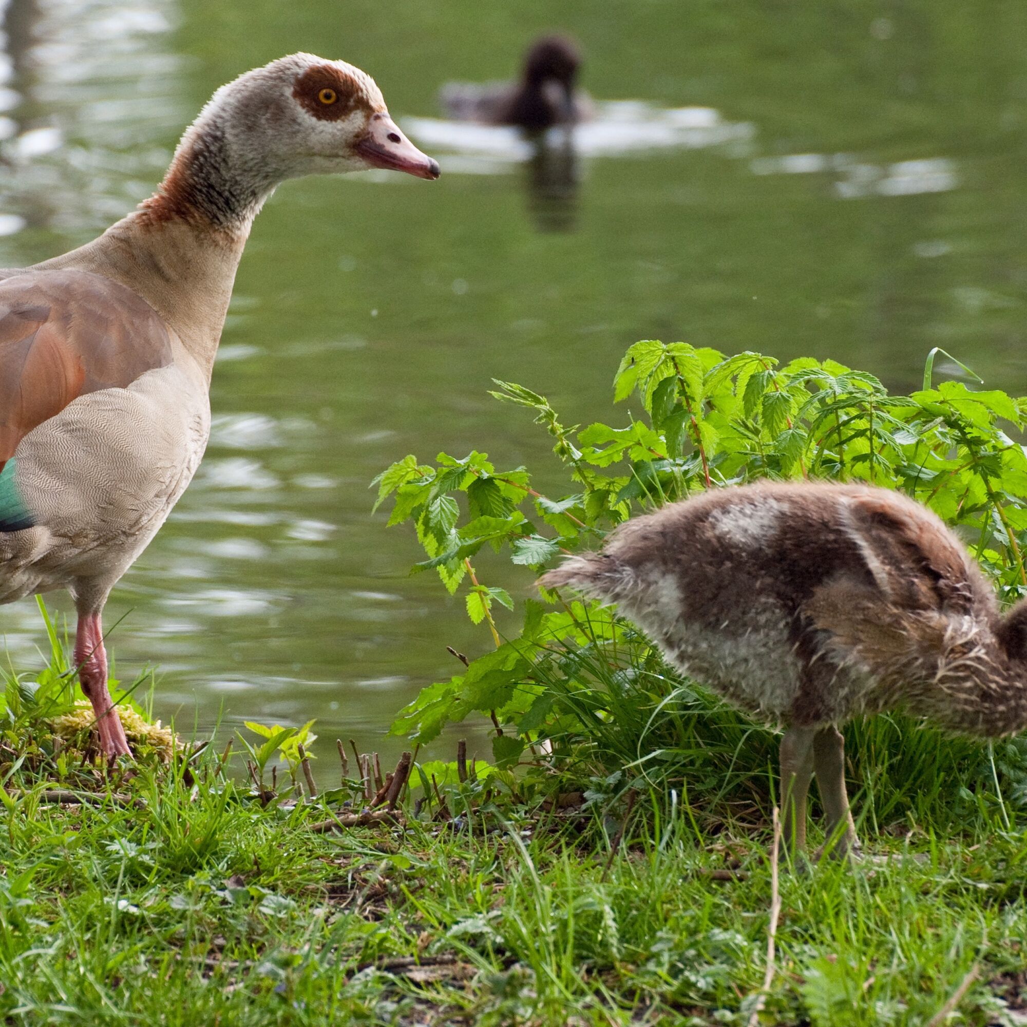
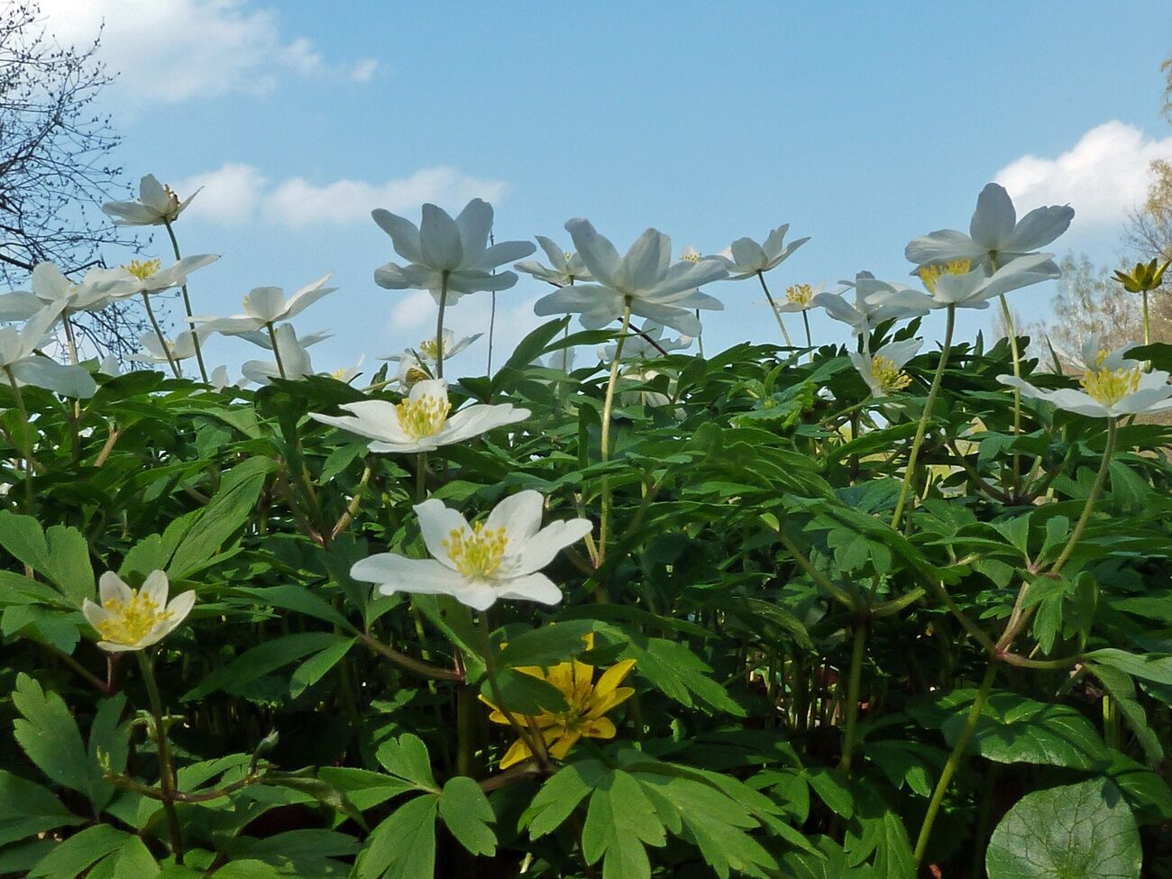
The route leads from Castle Ehrenstein along the Ohra and the mill channel to interesting and species-rich biotopes. A diverse plant and animal world can be admired in every season. Particularly impressive in spring is the bloom of the wood anemones in the princes' bushes or around the grass pond. There is always a lot to discover on the banks of the Ohra. This also applies to the area around the grass pond. Dippers and sometimes even kingfishers can be spotted. The grass pond is not only a fishing paradise but also a breeding and hunting ground for various water birds. The mill channel flowing alongside the path in sections was once the power artery for the early industrialization of the town. The technical monument Tobiashammer is a fully functional hammer mill from this early period.

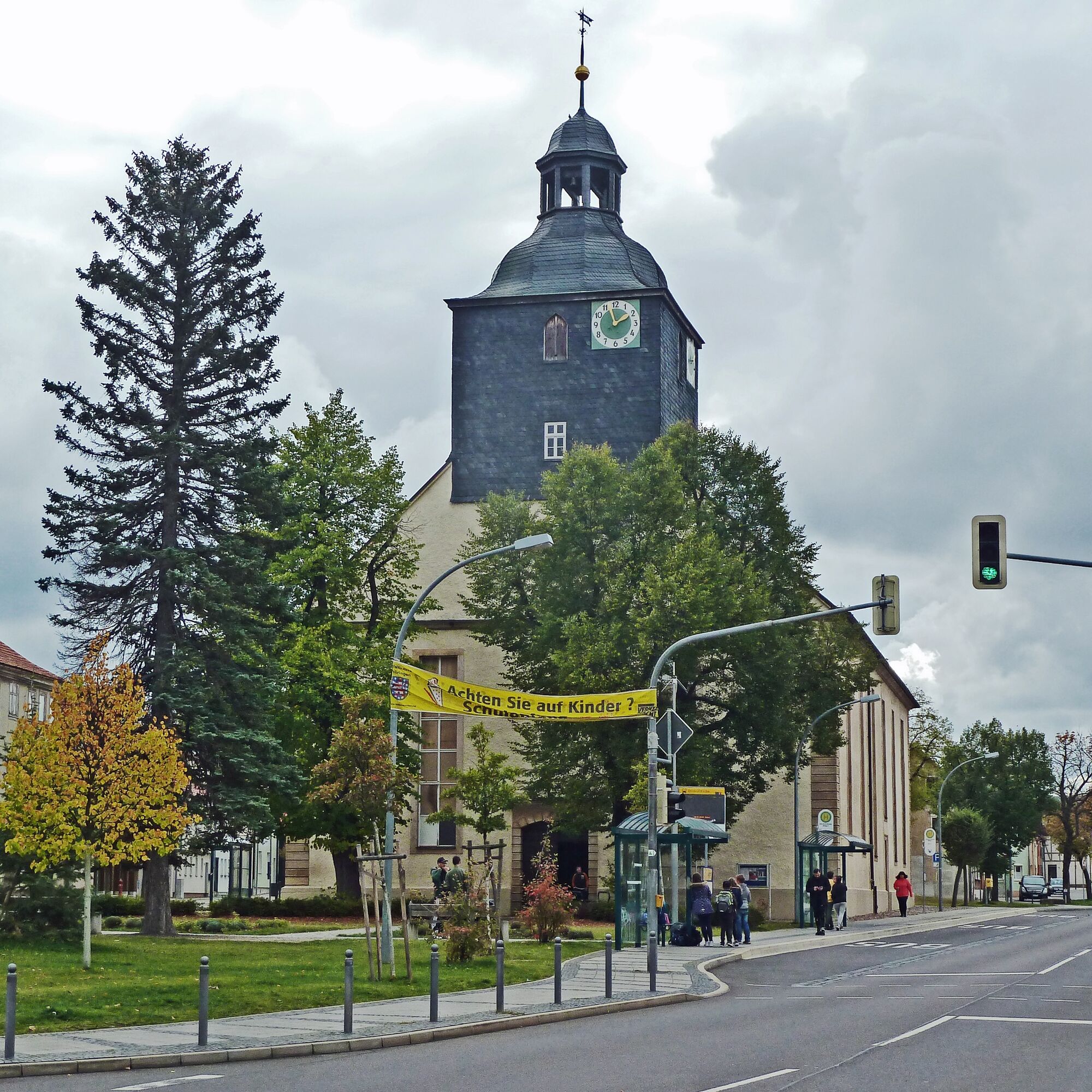
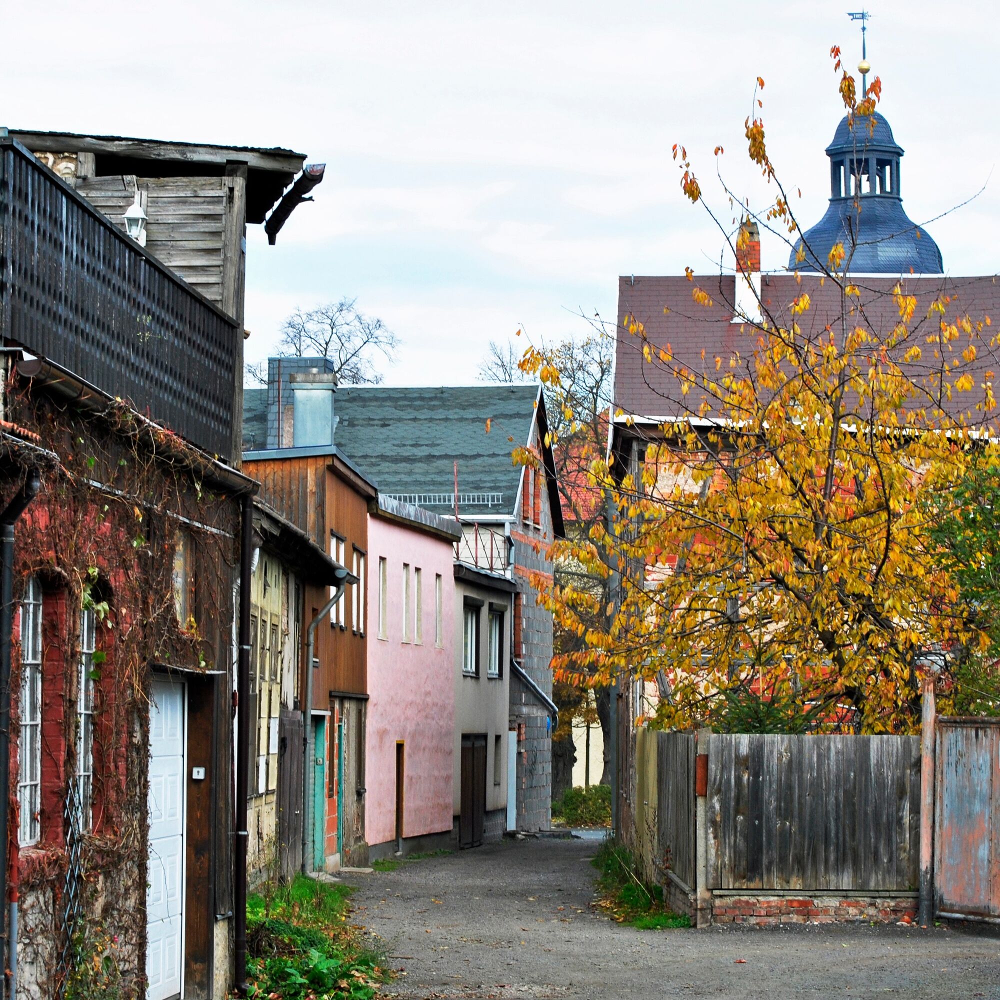
Castle Park-Gleichenstraße-Philosophers' Way-St. Trinitatis Church-Bleich-Woodland-Princes' Bushes-Tobiashammer-Cow Keeper's Meadow-Wiesenröder-Grass Pond-Woodland-back to Castle Park, bus station or Tobiashammer
Ja
Ja
Ja
Sturdy footwear
Rainwear
First aid kit
GPS device / smartphone
Drinks
Optional trekking poles
Sturdy footwear and a drink supply are recommended.
A4 exit Gotha onto B247 towards Ohrdruf, follow signs in Ohrdruf to Castle Ehrenstein or Tobiashammer until the parking lot
A71 exit Gräfenroda, B88 towards Ohrdruf, follow signs in Ohrdruf to Castle Ehrenstein or Tobiashammer
You can reach Ohrdruf by bus lines 857, 860 and 861 to Ohrdruf Church (bus station). The 860 and 861 lines offer a transfer possibility in Gotha to the train
Parking lot Castle Ehrenstein (Google NAV point) Parking lot Tobiashammer (Google NAV point)
T1
Technical Monument Tobiashammer. Please register by phone due to construction work: 03624 317949
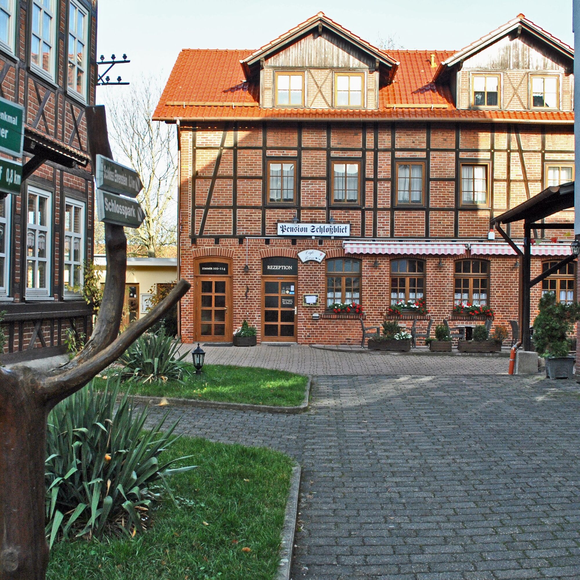
Castle Garden Passage with Pension Schlossblick and Cafe Rose
Populære ture i området
-
4.1
Rund um die Ohratalsperre
lysVandring 14.5 km -
3.8
Wanderung zum Spitterfall
MediumVandring 14.6 km -
5.0
Circular route - Ohratalsperre - Luisenthal - Thuringian Forest
lysVandring 14.3 km -
4.0
Circular hiking route "Oberschönauer Felsenwanderung" - Steinbach-Hallenberg - Thuringian Forest
tungVandring 12.0 km -
Rundwanderung Ohratalsperre
MediumVandring 14.6 km -
Ohra Talsperre
lysVandring 16.8 km -
5.0
Rundvandresti - Lütsche flodgrav - Frankenhain - Thüringer Wald
MediumVandring 13.8 km -
Circular hike to Bärenstein & Pfanntalsteich
MediumVandring 9.10 km -
4.0
Circular route - Spießberghaus - Friedrichroda - Thuringian Forest
MediumVandring 10.7 km -
Circular hiking trail - "Zum Ausgebrannten Stein" - Oberhof - Thuringian Forest
lysVandring 11.2 km
Vandring og sporing


Gå ikke glip af tilbud og inspiration til din næste ferie
Din e-mailadresse er blevet tilføjet til mailinglisten.