


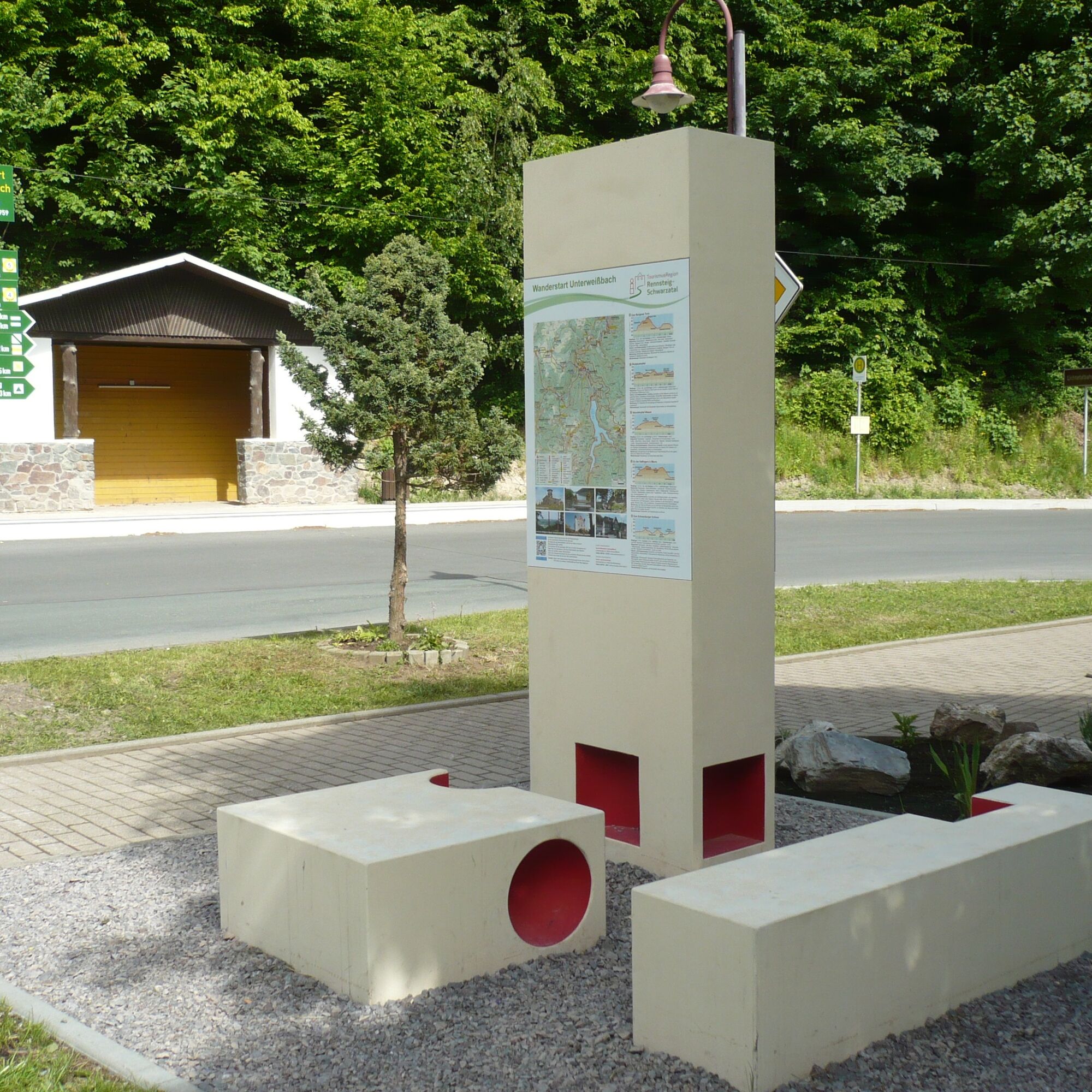
The varied and easy route, well suited for families and children, is continuously marked with the green diagonal stripe, the marking sign for nature trails and themed paths, and the yellow horizontal stripe....
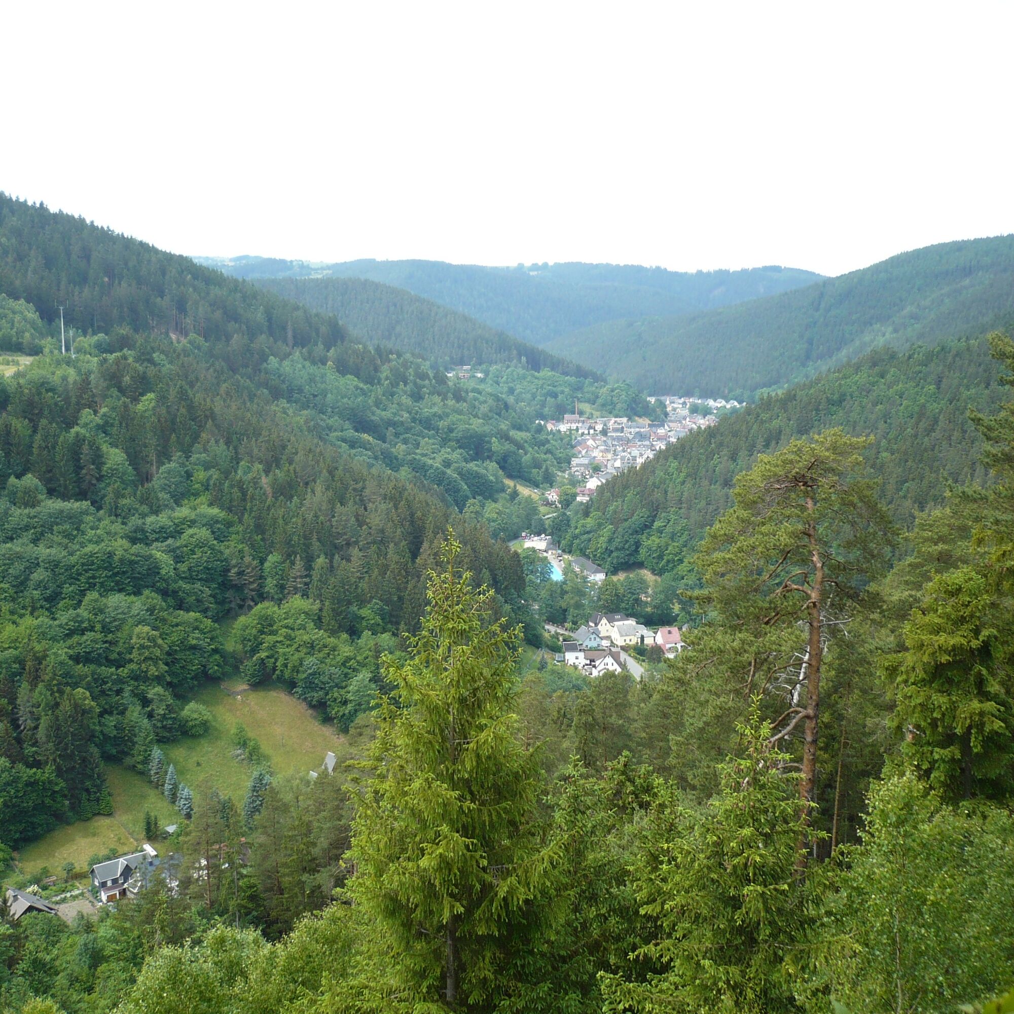
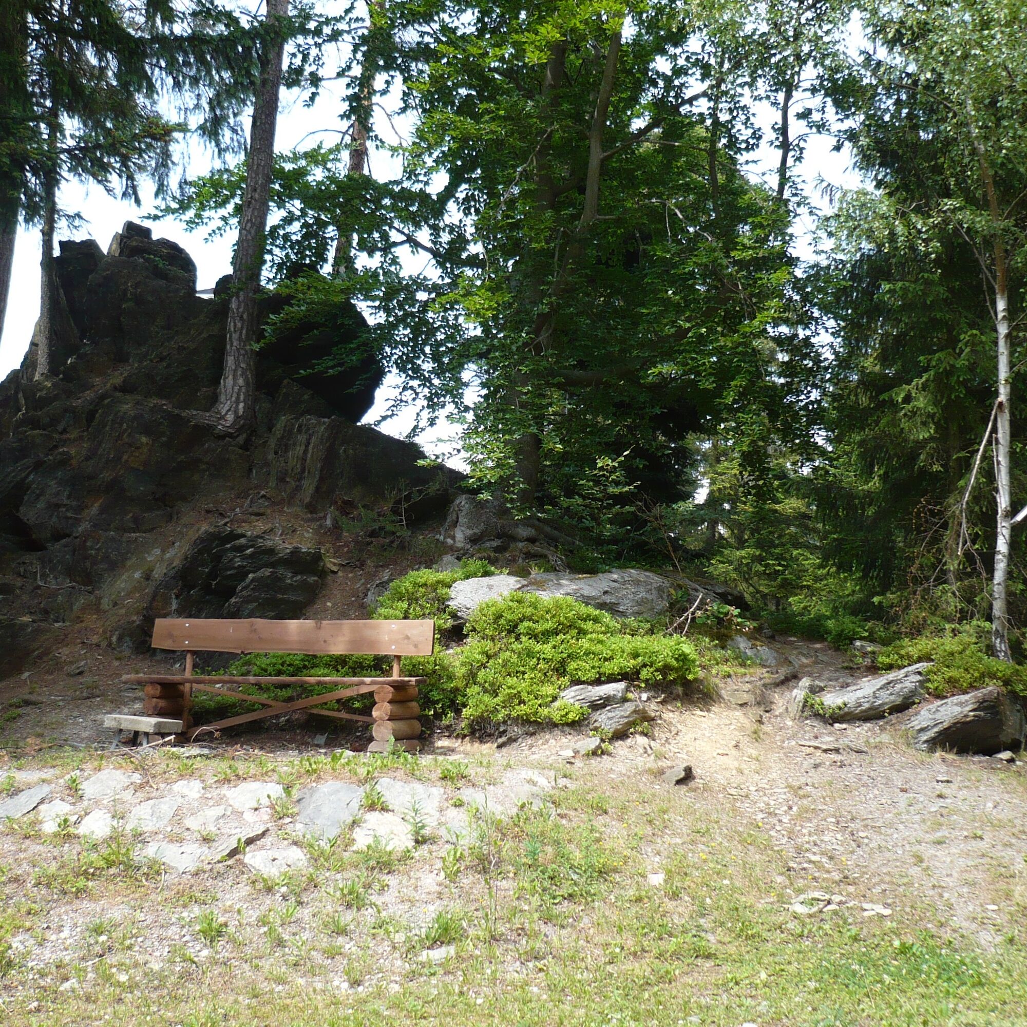
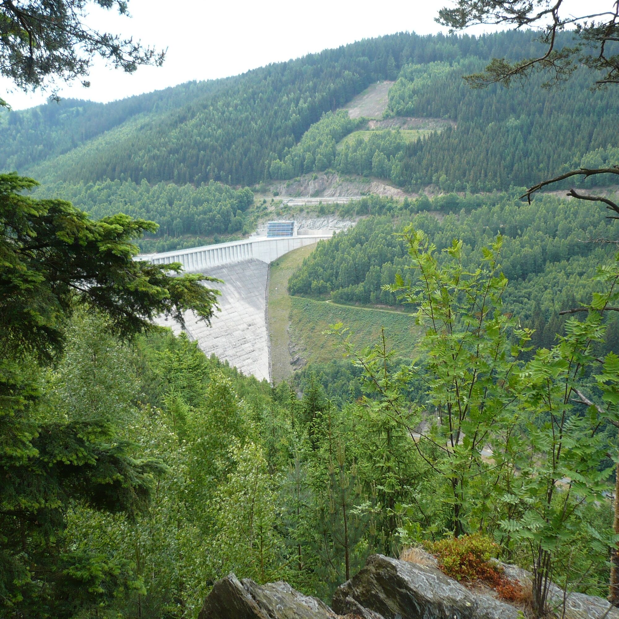
The varied and easy route, well suited for families and children, is continuously marked with the green diagonal stripe, the marking sign for nature trails and themed paths, and the yellow horizontal stripe. It leads from the starting point at the parking lot in Unterweißbach past the bowling alley up to the shelter at Pulverturmsweg. At 450 - 500 m elevation, several small brooks, such as the Cold Channel and the Wet Quelitz, cross the path before it reaches the Kämpf's Rest dam nearby, a small rock with a shelter. A detour to the Bielstein shelter offers a view over the reservoir. From Kämpf's Rest, the path leads downhill to the entrance of Unterweißbach at the foot of the dam. Passing the outdoor pool and further through the town, hikers reach their starting point in just over 2 hours.
Note on the digital hiking stamp: On this hiking trail, you can collect digital stamps for your personal hiking certificate. At the marked stamp locations, scan the QR code with your smartphone, add the location to your stamp account via the generated link, and receive additional information. You can also obtain your personal hiking certificate without a smartphone. Instructions are provided on the QR code signs.

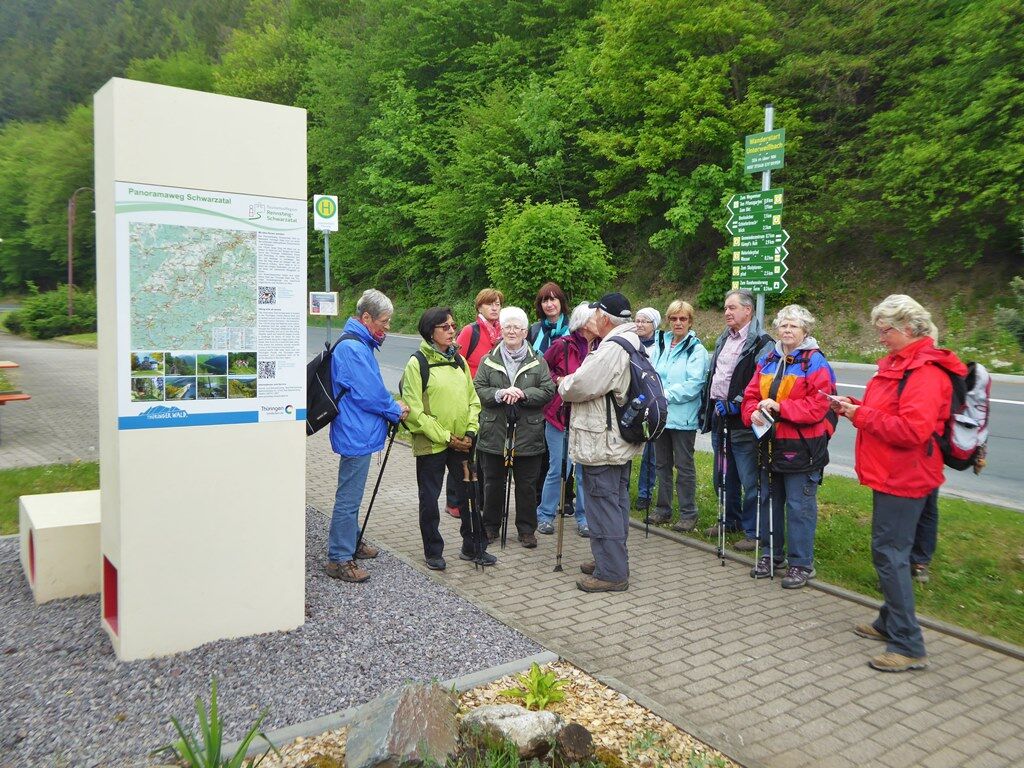
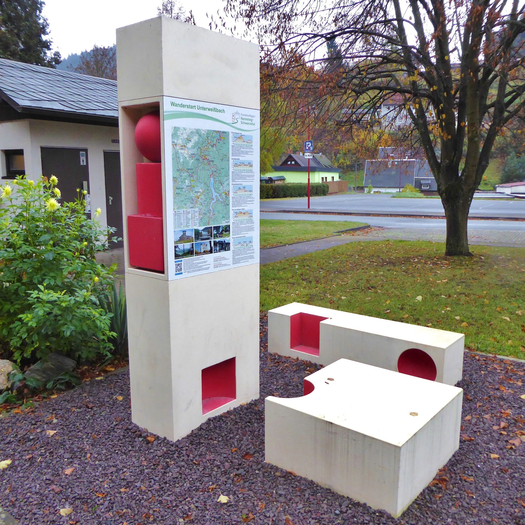
Starting point – Bowling alley – Shelter at Pulverturmsweg – Dreary Quelitz – Cold channel – Wet Quelitz – Kämpf's Rest – Bielstein – Detour Quelitzfelsen – Lichte – Terrace swimming pool – Community center – Starting point
Ja
Sturdy footwear
Rainwear
First aid kit
GPS device or smartphone
Drinks
Always stay on the marked hiking trails and be aware of forest-specific hazards.
Coming from the A71 exit 15 (Ilmenau-East) and continue on the B88 towards Gehren / Königsee. Follow the federal road to Unterköditz (after Königsee) and turn right onto L1113. Drive to Schwarzburg (town entrance) - Hotel Weißer Hirsch and turn sharply right in the hairpin bend onto L1112 toward Sitzendorf and Unterweißbach. In Sitzendorf, turn left immediately at the train station onto L1145 towards Unterweißbach.
You can reach the starting point Unterweißbach by the trains of the Schwarzatalbahn (Sitzendorf/Unterweißbach stop) and additionally with the buses of KomBus.
Use the Deutsche Bahn travel portal for route planning. Enter "Unterweißbach/ parking lot" as your destination.
Parking lot at the starting point Unterweißbach (Google NAV point)
Local contact:
Community center Unterweißbach "Goldene Lichte"
Lichtetalstraße 38 | 98744 Unterweißbach
Tel. 03 67 30 – 28 143
Central contact:
Tourist and Service Center
(Main entrance Stadthalle)
Bahnhofstr. 23 | 07422 Bad Blankenburg
Tel. 03 67 41 - 26 67
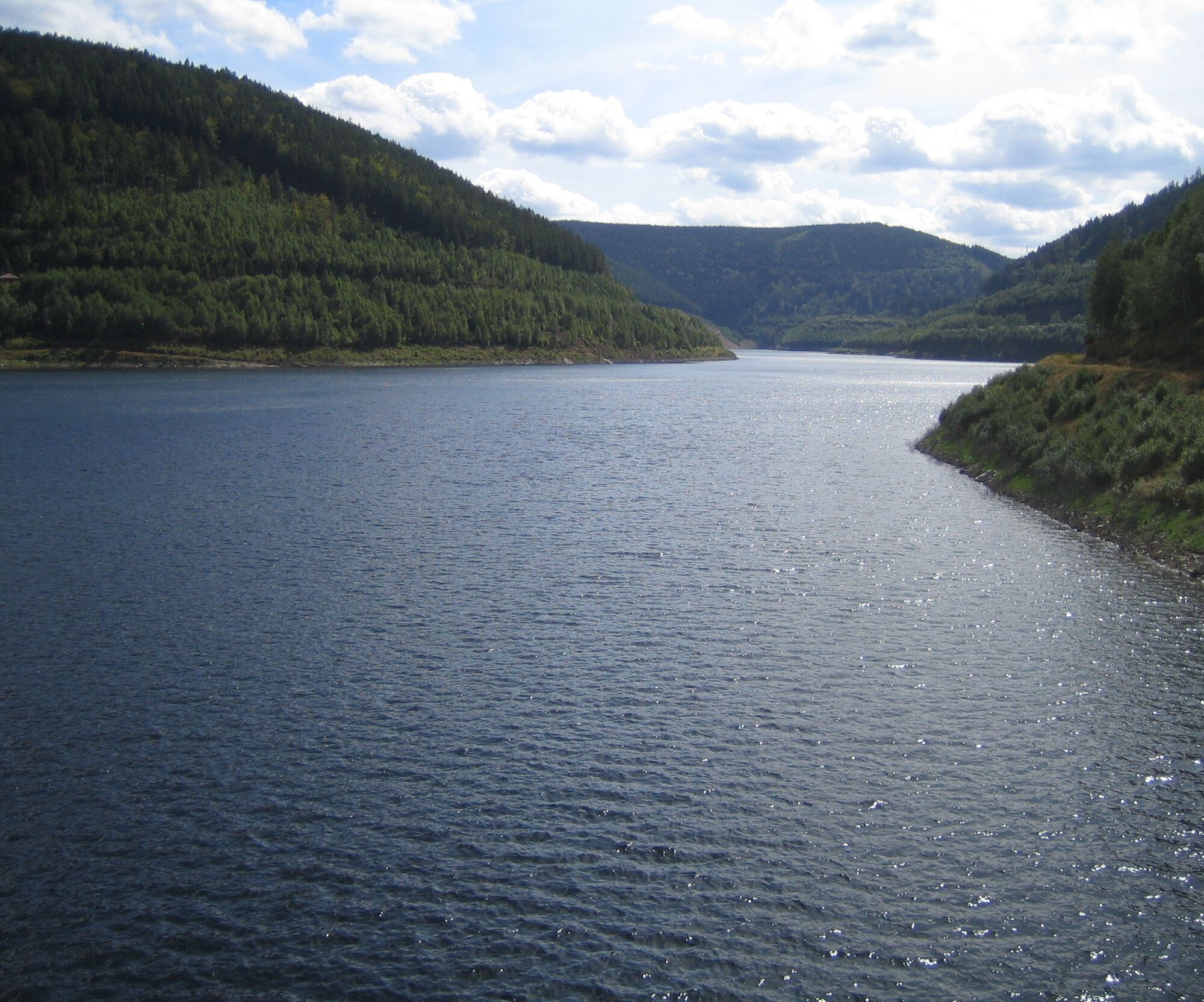
It is definitely worth walking a little further downhill from Kämpf's Rest to enter the impressive dam and enjoy the view over the reservoir, as well as down to the foot of the dam.
Populære ture i området
-
5.0
Circular hiking trail - "To the most beautiful viewpoints" - Thuringian Forest
MediumVandring 12.8 km -
Rundvandresti - "Friedrich-Fröbel" - Bad Blankenburg
MediumVandring 14.5 km -
Circular trail - Saugartenpfad - Hiking start at Chrysopraswehr - Bad Blankenburg
MediumVandring 8.39 km -
Circular hiking trail - "Sculpture Trail" - Hiking start Unterweißbach - Thuringian Forest
MediumVandring 24.4 km -
Nature park path Meurasteine in the Thuringian Forest
tungVandring 11.7 km -
Circular hiking trail - Pearls of the lower Schwarzatal - Bad Blankenburg
tungVandring 15.3 km -
Circular hiking trail - "Stroll through the Werretal" - Bad Blankenburg
MediumVandring 9.35 km -
Circular route - Dr. Erich Krauß - Hiking start Schwarzmühle
MediumVandring 15.2 km -
4.0
Circular route - “To the Strudel pots of the Schwarza” - Starting point at the Chrysopras weir - Bad Blankenburg
MediumVandring 9.01 km -
Meurasteine, Talsperre Leibis-Lichte
MediumVandring 13.4 km
Vandring og sporing


Gå ikke glip af tilbud og inspiration til din næste ferie
Din e-mailadresse er blevet tilføjet til mailinglisten.