


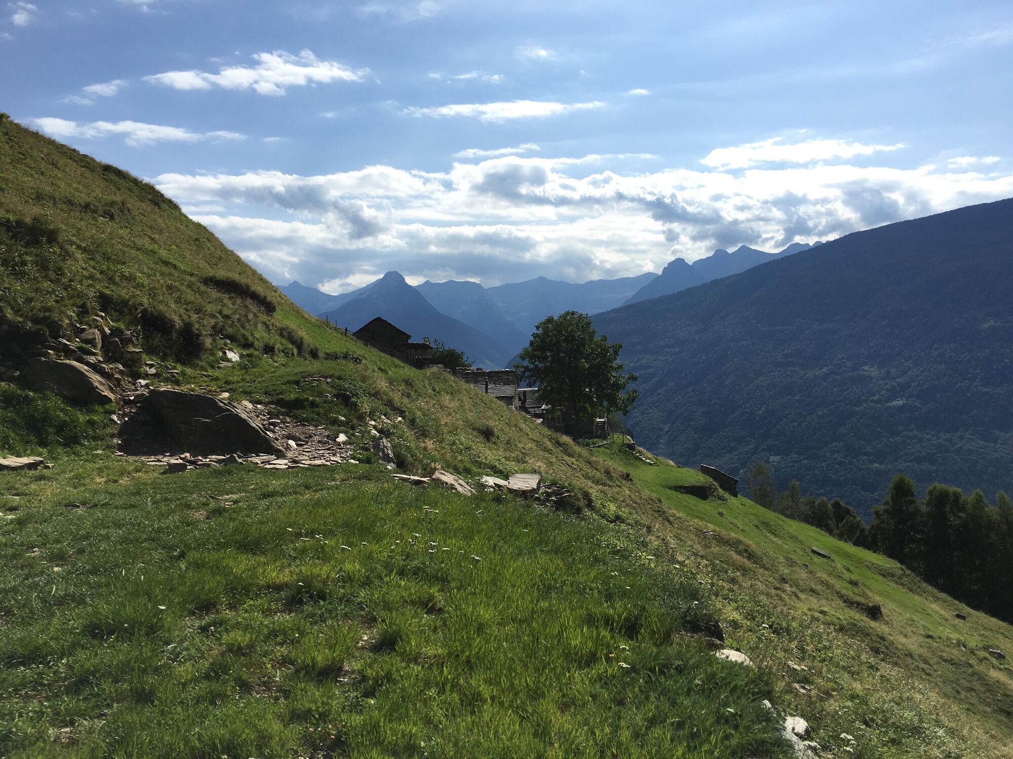
The Celtic Trail starts from Montegreco and, running up to Solgone, gets hikers close to nature. Informative boards along the trail explain the Bovis measurements which determine the quality of energy...
The Celtic Trail starts from Montegreco and, running up to Solgone, gets hikers close to nature. Informative boards along the trail explain the Bovis measurements which determine the quality of energy that these places give off: an invitation to close your eyes and experience the harmony. The itinerary returns to Malvaglia by passing Pontironetto and the old mule trail.

Ja
The careful planning of a tour will ensure that you also derive the maximum pleasure and enjoyment from it.
Populære ture i området
-
Lago di Canée
Vandring 14.2 km -
5.0
Via Alta della Verzasca - Stage 3: Capanna Cornavosa-Capanna Efra
tungVandring 13.3 km -
Efra mountain lake trail
tungTrailrunning 13.6 km -
Cima del Simano (2580 m)
Vandring 9 km -
5.0
Cusié > Capanna Quarei > Laghetto dei Cadabi > Alpe di poxxo > Cusié
MediumVandring 13.0 km -
Capanna Quarnei
lysVandring 10.8 km -
5.0
Cancorì Bike (SvizzerMobile 383)
tungMountainbike 23.8 km -
Via Alta Crio
tungLangdistance-vandresti 106.0 km -
Giro del Castello di Serravalle (SwitzerlandMobility 626)
Vandring 6.17 km -
Giro delle Tre Valli (SwitzerlandMobility 625)
MediumVandring 12.1 km
Vandring og sporing


Gå ikke glip af tilbud og inspiration til din næste ferie
Din e-mailadresse er blevet tilføjet til mailinglisten.