


Sværhedsgrad: T4


Billeder af vores brugere
-
 © Marisa scafettaOprettet den 17.08.2025
 -
 © Marisa scafettaOprettet den 17.08.2025
 -

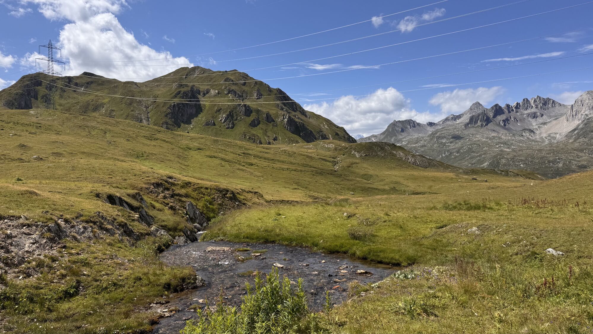
 © peter_oeOprettet den 05.08.2025
 -
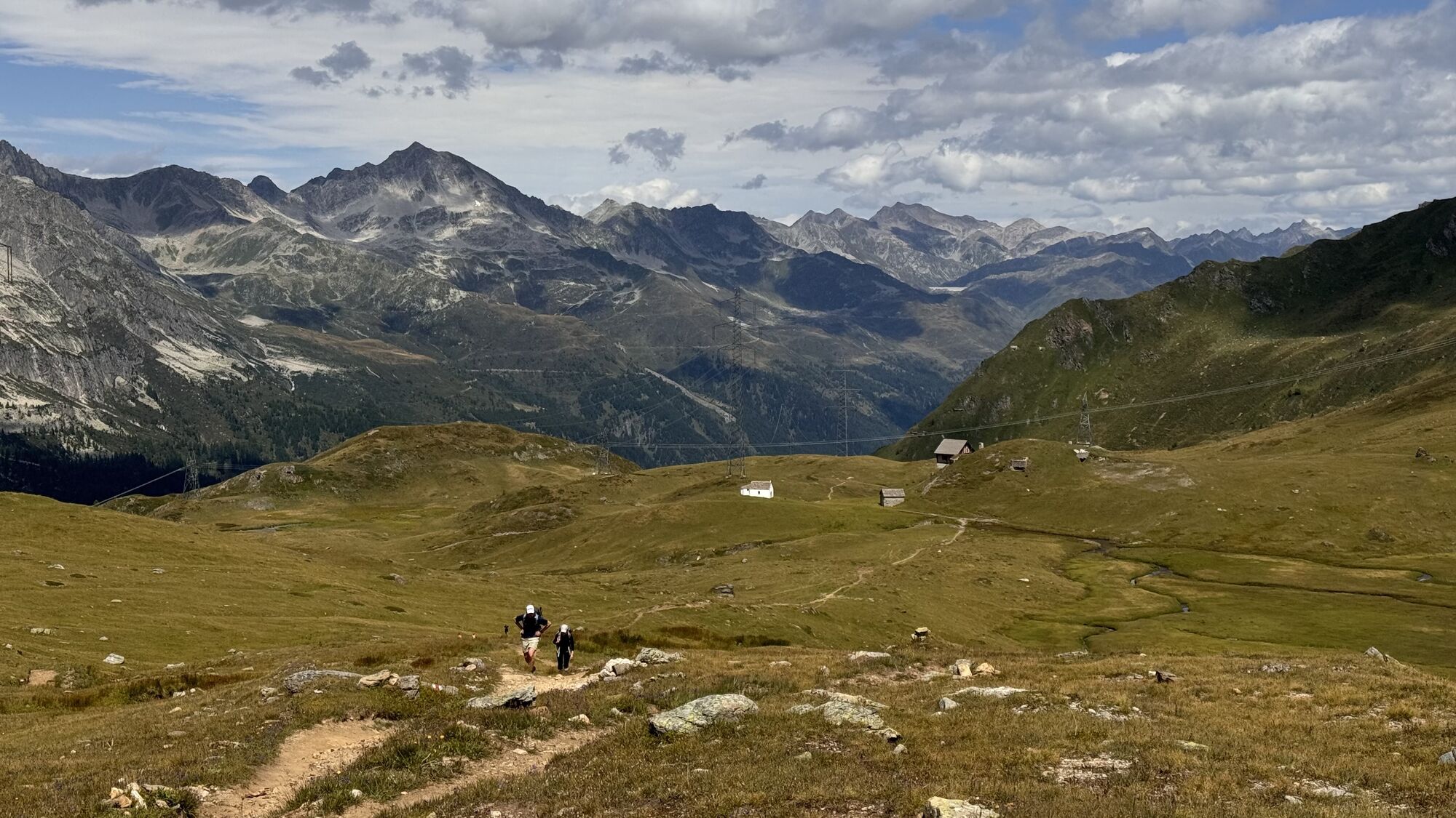
 © peter_oeOprettet den 05.08.2025
 -
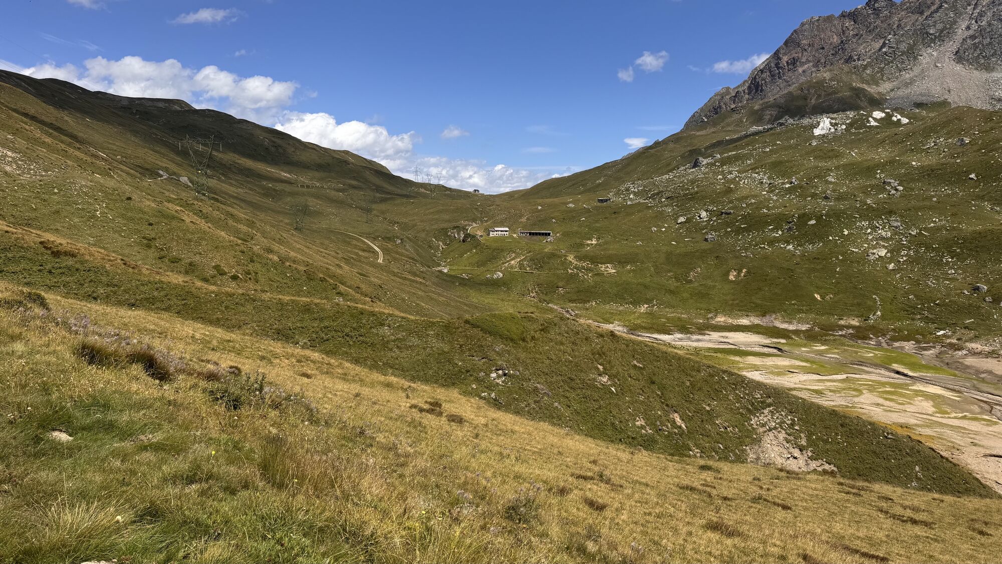
 © peter_oeOprettet den 05.08.2025
 -
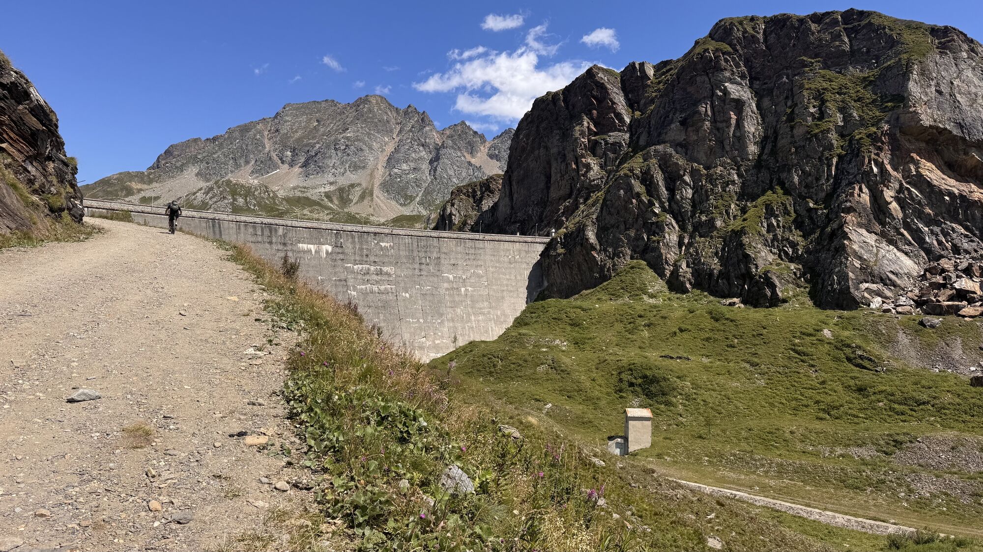
 © peter_oeOprettet den 05.08.2025
 -
 © peter_oeOprettet den 05.08.2025
 -
 © peter_oeOprettet den 05.08.2025
 -
 © peter_oeOprettet den 28.07.2024
 -
 © peter_oeOprettet den 28.07.2024


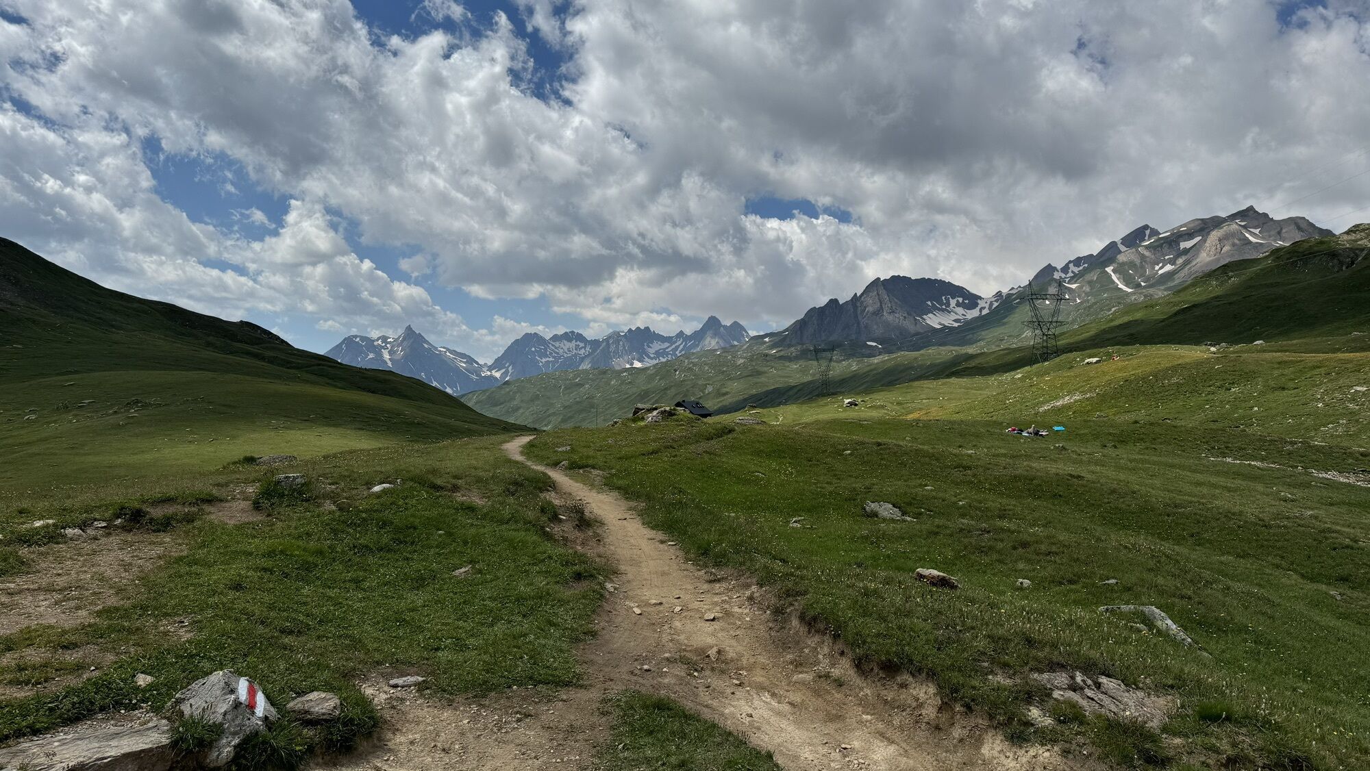
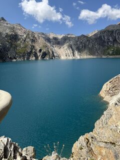
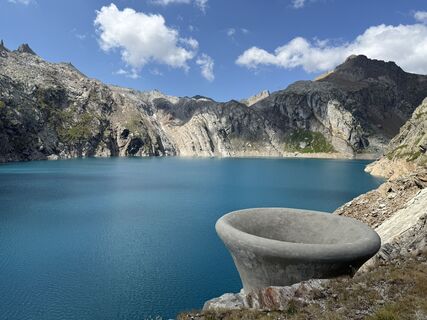
The route starts with a descent towards the green Lago Sfundau and continues towards the deep blue Lago dei Cavagnöö in the middle of a rocky landscape. Ascending, the panorama opens onto the Bavona and...
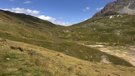
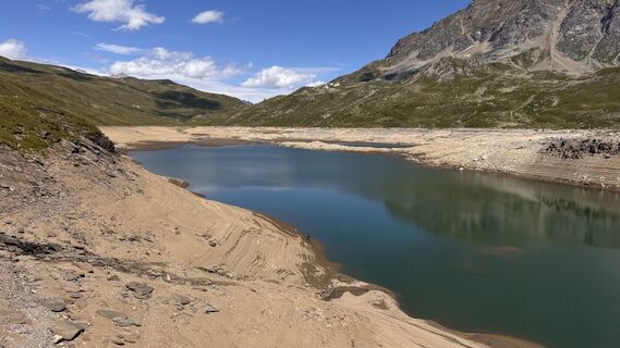
The route starts with a descent towards the green Lago Sfundau and continues towards the deep blue Lago dei Cavagnöö in the middle of a rocky landscape. Ascending, the panorama opens onto the Bavona and the Vallemaggia, then we enter a hidden little valley that leads to the Passo Grandinagia. After descending a barren scree, there is a chapel whitewashed that in the Middle Ages welcomed pilgrims and merchants crossing the Alps. The route continues through Passo San Giacomo and on a gravel road closed to traffic along Lago Toggia to Rifugio Maria Luisa.
Source: Via Alta Vallemaggia Association


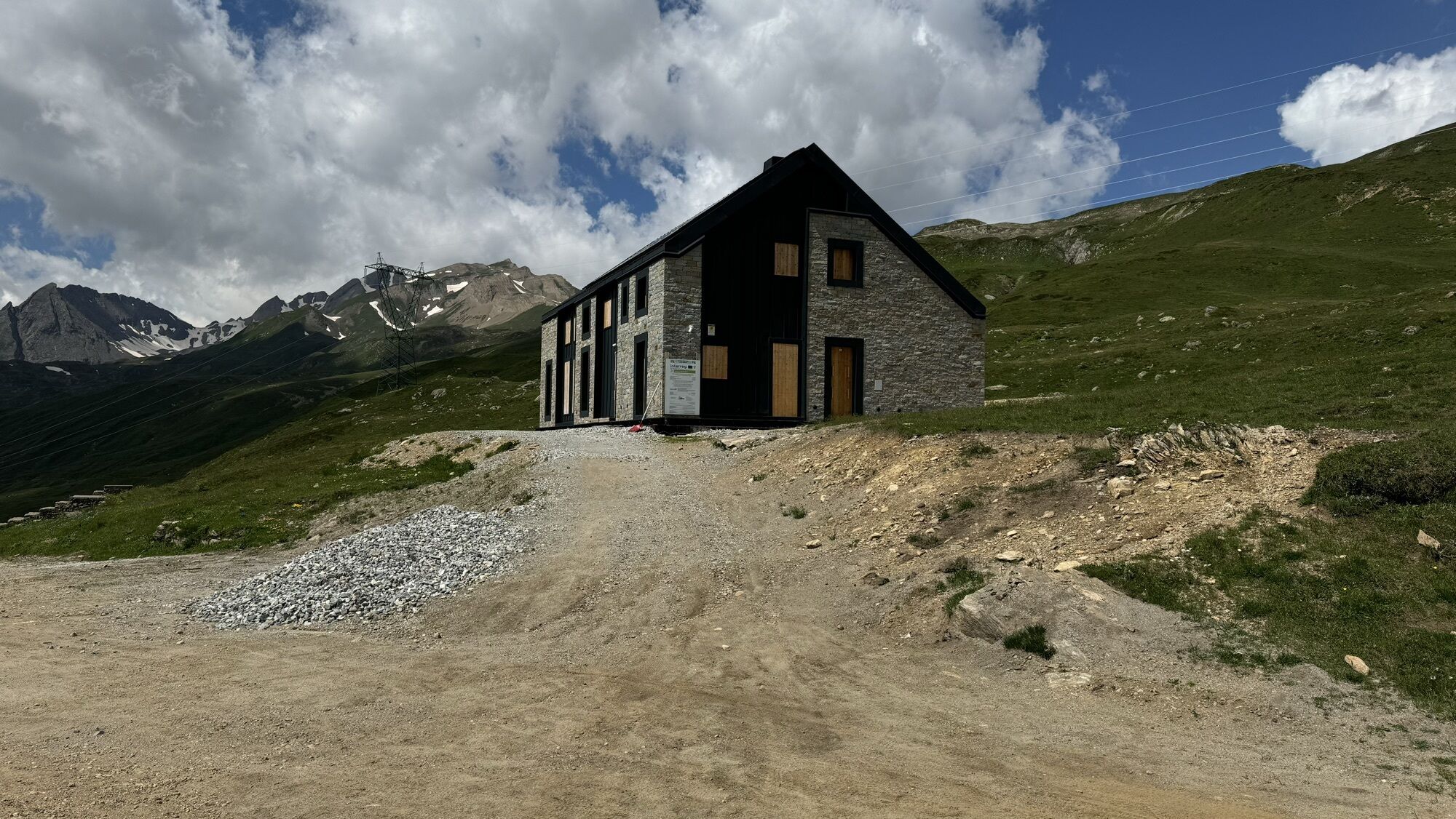
Capanna Cristallina-Cortino-Lago di Cavagnöö-Passo Grandinagia-San Giacomo-Passo San Giacomo-Rifugio Maria Luisa
Ja
Good hiking boots
Adequate clothing
Sunglasses, sunscreen
Map 1:25,000, altimeter, compass, possibly GPS
Small first aid kit, emergency thermal blanket
Sufficient food and drinks
ID card, cash (Swiss francs and euros for the hut in Italy)
The Via Alta Vallemaggia alternates between mountain trails (T3) and alpine tracks (T4-T5–). Occasionally, it is necessary to face short exposed sections at risk of falling and some simple climbing. Often the more delicate passages are equipped with chains or metal steps.
Some huts open already in June, when the connecting stages are usually still snowy. Generally, the best trekking season is from July to September/October. However, even in full summer it is advisable to contact the hut wardens to inquire about the passability of the route. Booking overnight stays is mandatory to avoid unpleasant surprises and finding yourself without accommodation.
Requirements:
Good experience in an alpine environment Adequate physical condition Detailed planning (possibly descents to the valley, weather...) Secure footing off the trails and no fear of heights
Not to underestimate:
High altitude Rapid weather changes Presence of snowfields at the beginning of the season Travel times (especially with large groups) Often no phone reception Absence of potable water sources along some stages
Emergency number in Switzerland REGA: 1414
General emergency number (international): 112
Calling 112 transfers the call directly to the competent rescue unit (ambulance, police, fire brigade). The 112 can be called on a GSM network even if the SIM card or the phone is locked. In most countries, 112 works on GSM networks. Outside Switzerland, it also works without a SIM card.
In case of emergency:
Keep calm Protect the injured and those in difficulty from further danger, cold, and bad weather Give first aid Call for help and start rescue operations; do not leave the injured alone Also consider your own safety
T4
As an alternative to the northern route, you can take three stages on the southern route from Fusio: 7S (link), 8S (link), 9S (link). From Rifugio Maria-Luisa, the two routes join again: 10 (link).
BOOK NOW
Check the availability of beds in the huts of the Via Alta Vallemaggia by indicating the departure day, the number of participants, and the chosen direction.
Bookings must be made individually for each hut. By clicking on the number of available beds, the reservation page of the relevant hut will open.
https://www.viaaltavallemaggia.ch/it/verifica-disponibilita
https://www.viaaltavallemaggia.ch/it/capanne
Populære ture i området
-
Furka Pass – Rhone Glacier
lysVandring 3.59 km -
4.0
Foroglio-Calnègia-Foroglio
MediumVandring 8.37 km -
2.0
Circular hike Furka Pass-Tällistock
MediumVandring 11.0 km -
5.0
Sidelenhütte
lysVandring 3.39 km -
5.0
Bignasco-San Carlo
MediumVandring 12.8 km -
4.5
Lakes Orsino, Orsirora and Valletta Route
Vandring 12.8 km -
Lago del Naret-Sasso Nero-Lago del Naret
MediumVandring 8.55 km -
5.0
Bosco Gurin-Lago Melo-Lago Pero-Bosco Gurin
MediumVandring 10.6 km -
Gommer ridge route: Oberwald - Münster
MediumVandring 11.9 km -
Glacier path
MediumVandring 8.18 km
Vandring og sporing


Gå ikke glip af tilbud og inspiration til din næste ferie
Din e-mailadresse er blevet tilføjet til mailinglisten.