


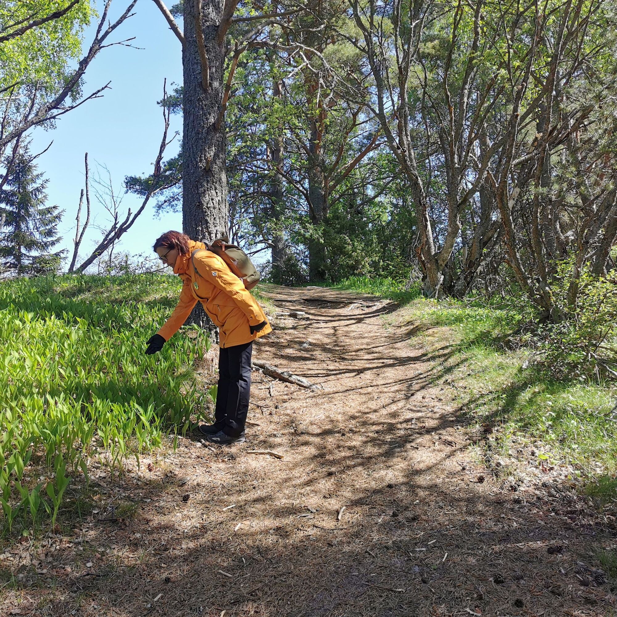
The Santojen route is a stunning circular route among dunes and the shore. Yyteri beach is the first beach in Finland to be awarded the Blue Flag sustainability certificate. The magnificent sandy beach...
The Santojen route is a stunning circular route among dunes and the shore. Yyteri beach is the first beach in Finland to be awarded the Blue Flag sustainability certificate. The magnificent sandy beach of the Nordic countries has a total length of three kilometers. On the route, you get to see dunes, their nature, and fauna. From Munakari bay, you can see Munakari island and take a break at the campfire site offering a beautiful sea view. The route partly runs along Yyteri sandy shores. If you want, you can take a refreshing dip in the sea. If a dip feels too daring, you can walk barefoot in the shallow water. After the route, you can enjoy many services offered by Yyteri.
After visiting this route, Yyteri's world-famous sandy beach gains entirely new dimensions and you will also see the diversity of the surrounding nature. Yyteri is many things, but one experience unites every visitor - at Yyteri, you find your nature!

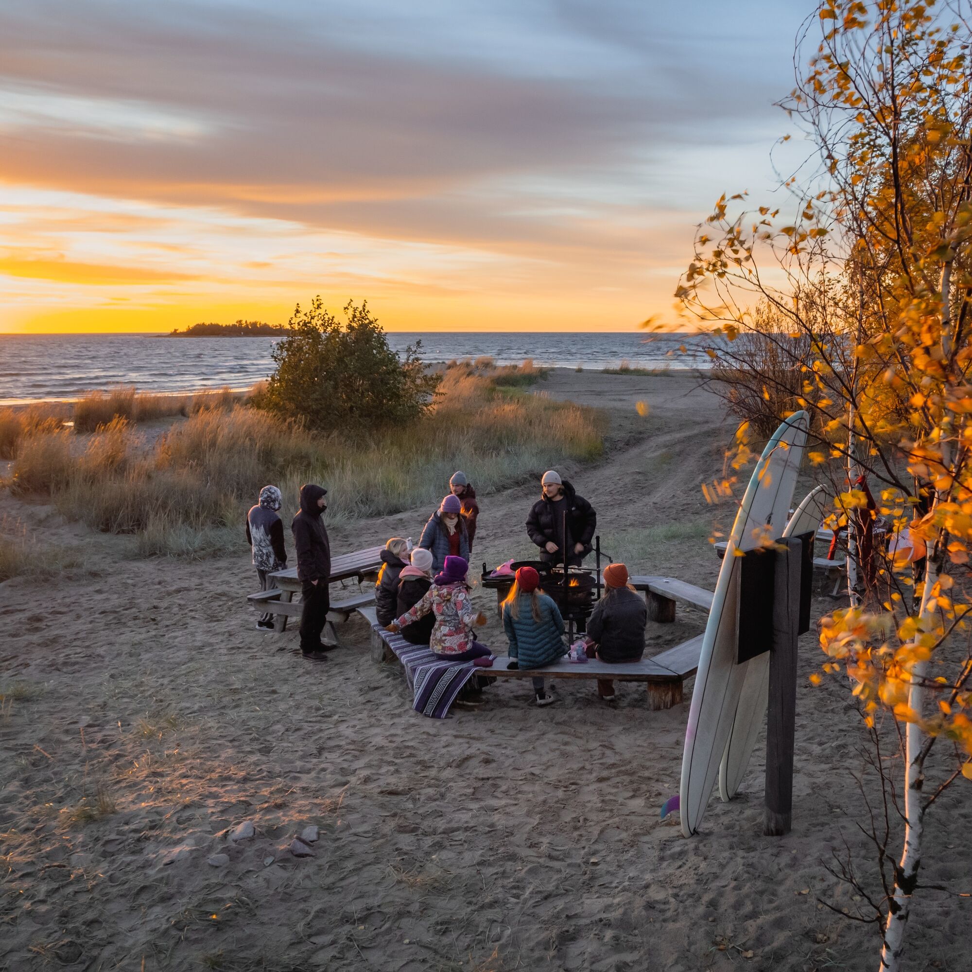
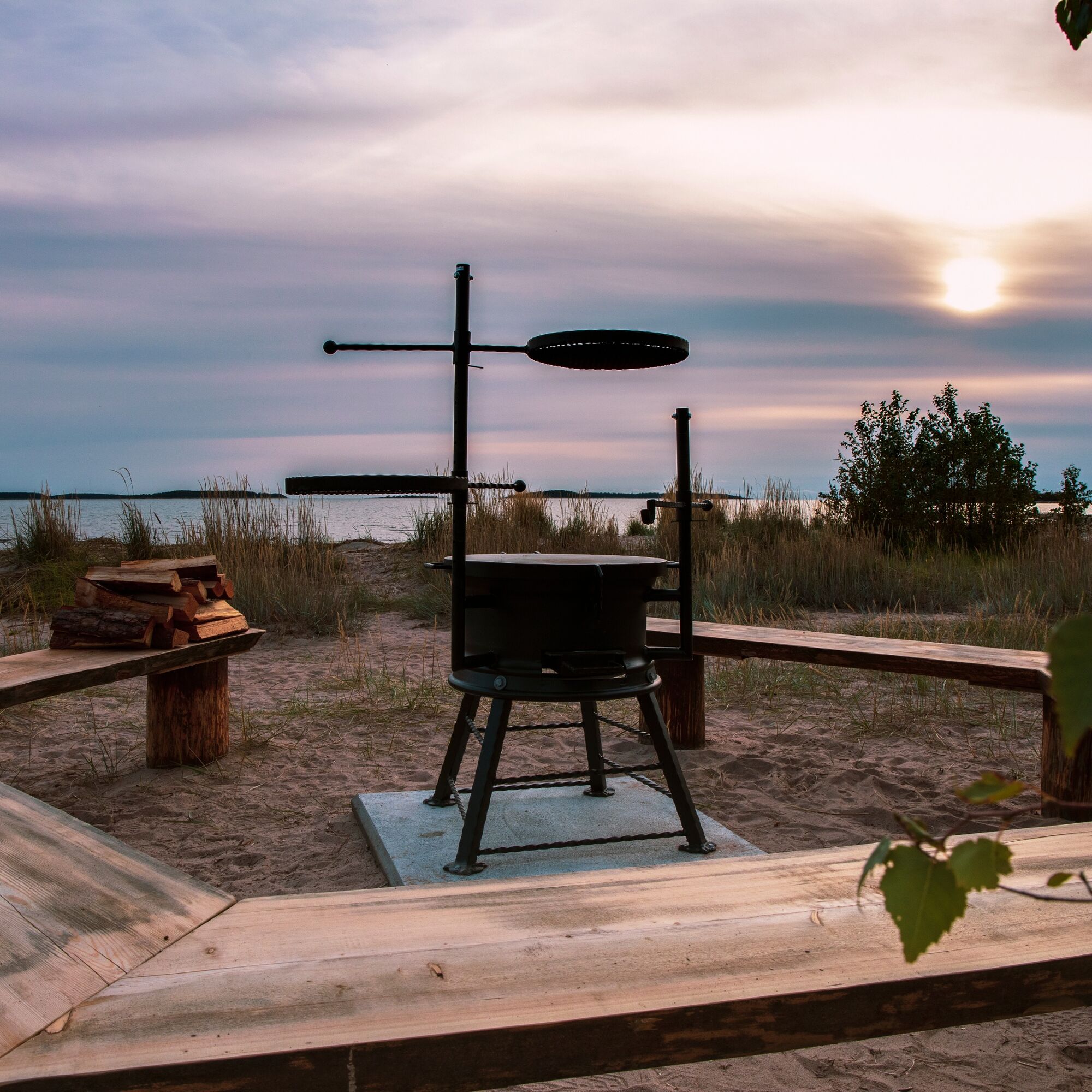
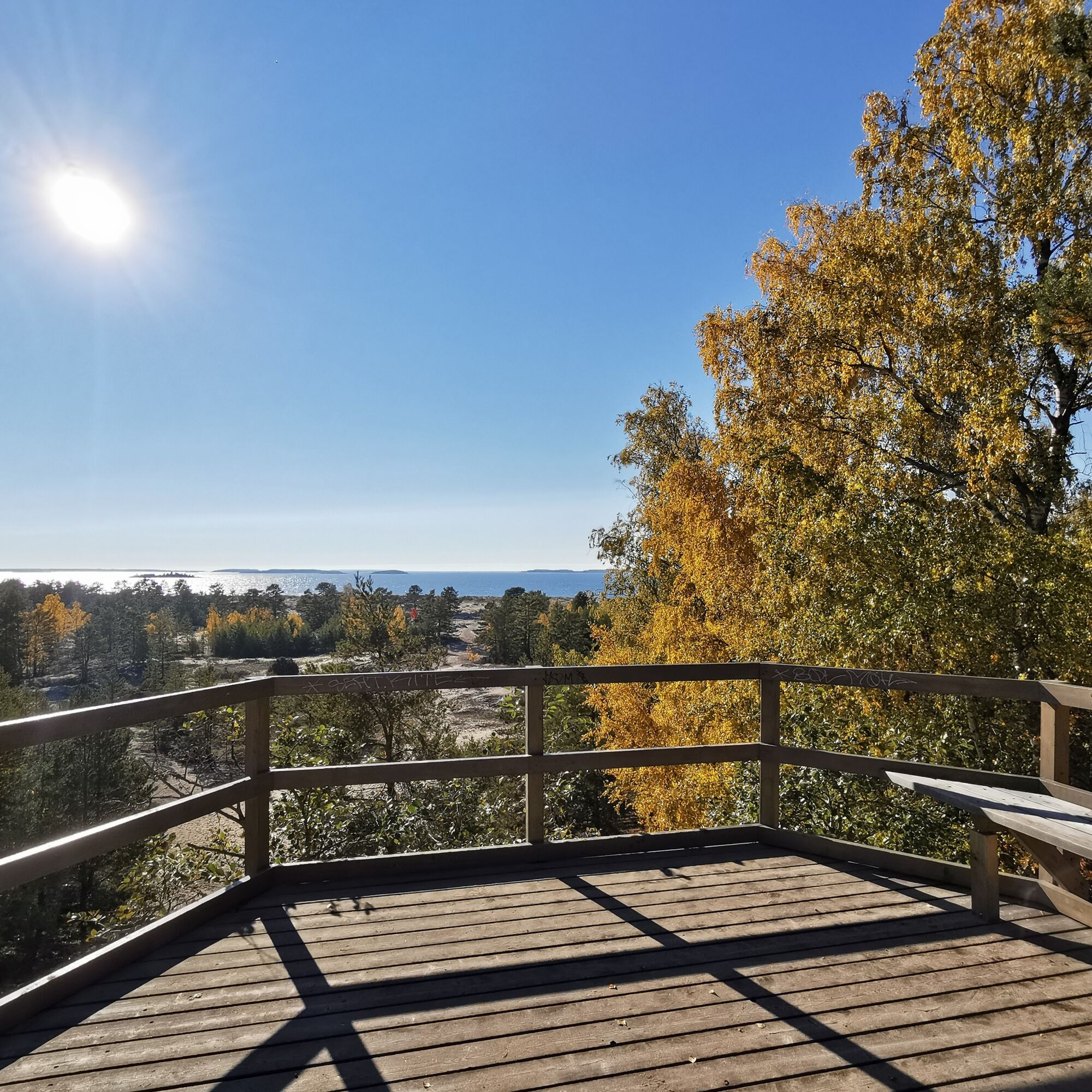
The Santojen route goes along Seikkailupuisto Huikea, Yyteri's oldest and highest dune ridge, Keisarinpankki. From the adventure park, the route continues through the pine forest towards Munakari bay, where there is a rest and campfire area. The route follows Yyteri's sandy beach and returns back to Yyteri square via the boardwalk.
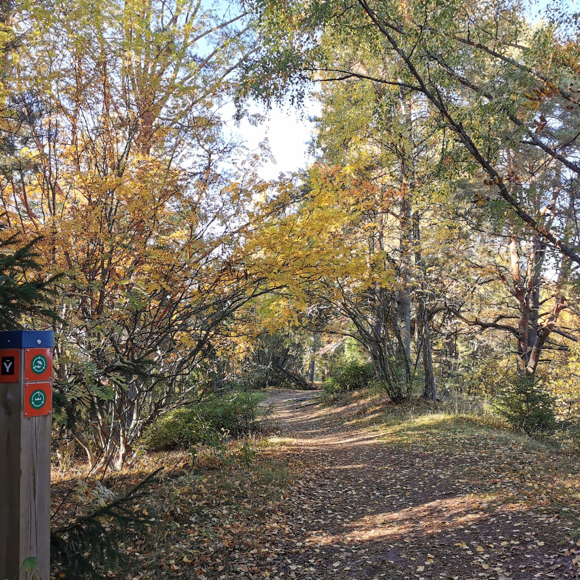
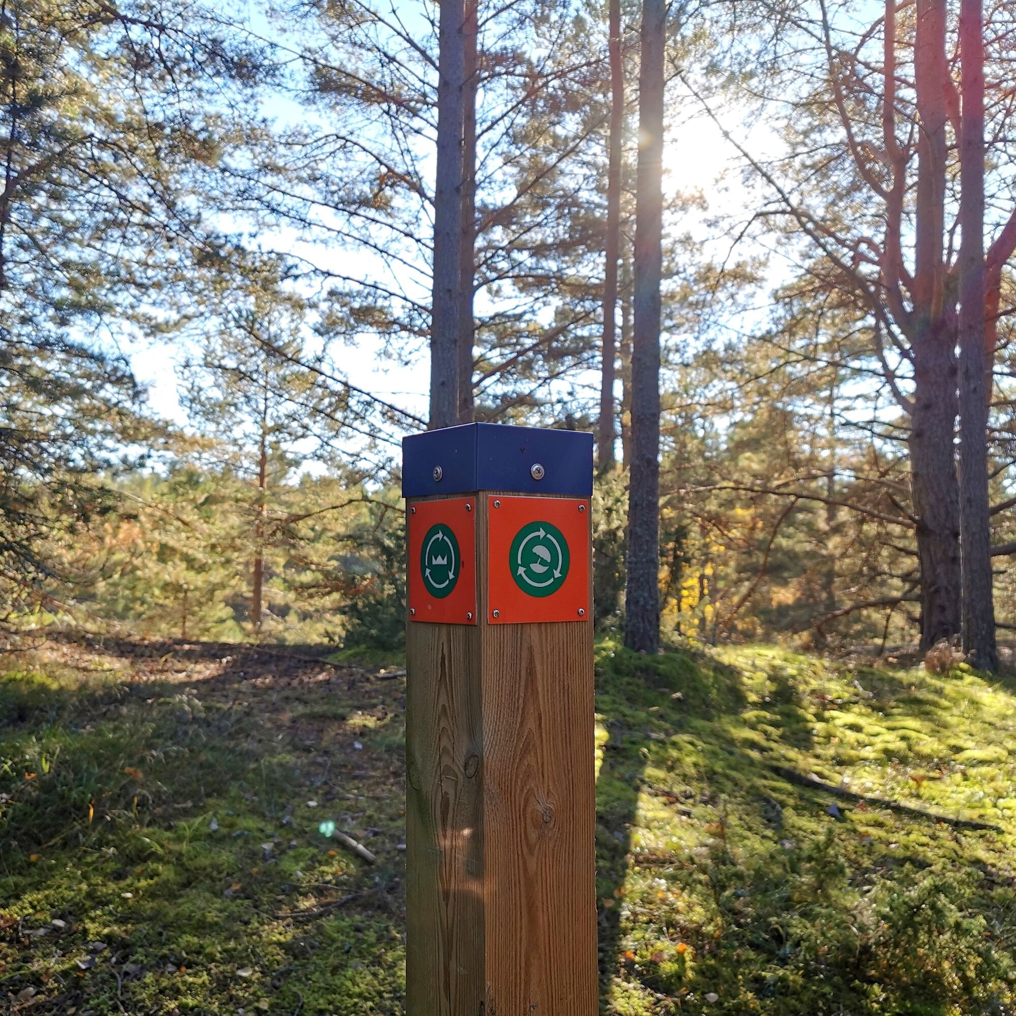
Route marking: sun umbrella symbol on a green-orange background
Ja
It is advisable to bring appropriate clothing, good outdoor shoes, snacks, and drinks. Binoculars are also a good addition for birdwatching.
We recommend downloading the 112 Suomi app in case something happens along the route.
Follow general safety rules
No winter maintenance
You can arrive by your own car to Yyteri square at the address Kortejärventie 1, 28840 Pori.
On weekdays, you can take bus line 34 from Pori city center to Yyteri square. On weekends, lines 34M and 34R run from the city center to Yyteri square. You can check schedules and routes at Schedules and routes - Porin Joukkoliikenne
There is plenty of free parking space at the Yyteri square parking lot.
Please note that the route also runs on sand. You are an honored guest in nature. Thank you for adhering to hiking etiquette so our valuable natural sites are preserved for the future! Read more https://www.luontoon.fi/retkietiketti Near the route, there are food and drink places (Rento Burger, Kota Pizzeria), you can read more at Cafes and restaurants in Yyteri
Also remember that
Bird nesting and disturbing animals are prohibited. Walking on top of the dunes is forbidden. This route can also be cycled, but there are cycling restrictions in the Yyteri area. Read more: Cycling in Yyteri, Responsible tourism in Yyteri Access to Munakari island and the isthmus leading to it at the front of Munakari bay is prohibited from 1.4. to 31.7.
The Santojen route partly runs along Yyteri's shore, so you can stop along the way for a swim!
Populære ture i området
-
Sauvakävelyreitti (Nordic walking trail)
MediumVandring 6.88 km -
Karhuluoto loop in Yyteri (MTB)
lysMountainbike 10.5 km -
Mudflat route in Yyteri
lysVandring 4.14 km -
Munakari route in Yyteri (MTB)
lysMountainbike 9.70 km -
Golf Trail in Yyteri (partly accessible)
lysVandring 2.69 km -
Herrainpäivät nature trail in Yyteri
lysTemaspor 1.26 km -
Raatimiehenluodon reitti
lysVandring 5.71 km -
Kallo route in Yyteri
lysVandring 4.85 km -
Lanajuovan reitti
MediumVandring 1.30 km -
Herrainpäivien Lankongi in Yyteri (accessible)
lysVandring 0.32 km
Vandring og sporing


Gå ikke glip af tilbud og inspiration til din næste ferie
Din e-mailadresse er blevet tilføjet til mailinglisten.