


Sværhedsgrad: 2


The scenic winter hike starts at the village square in Maria Alm. Over the bridge opposite (next to the Moserwirt inn) you walk past the Almerwirt inn. Here begins path no. 12 towards Saalfelden. Along...
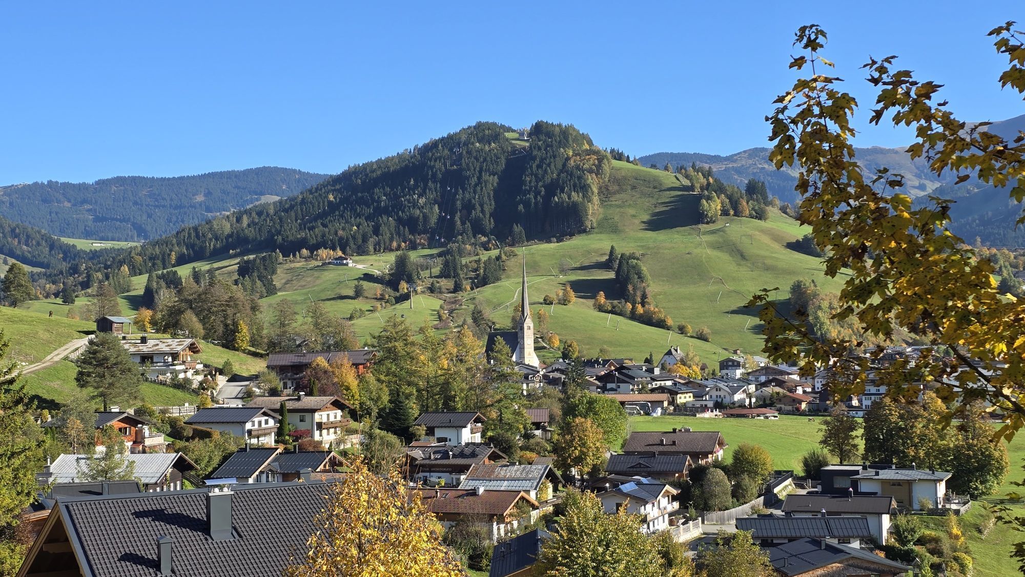
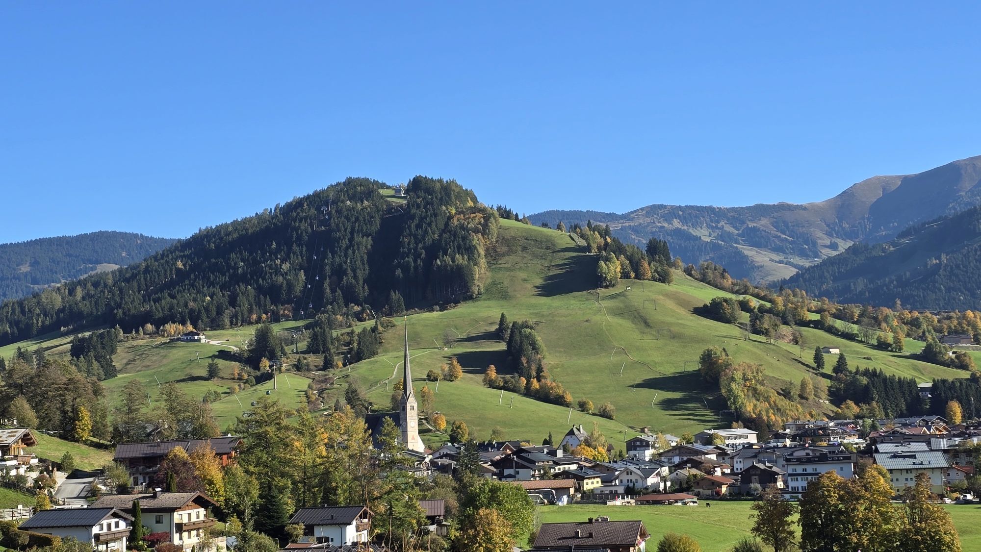
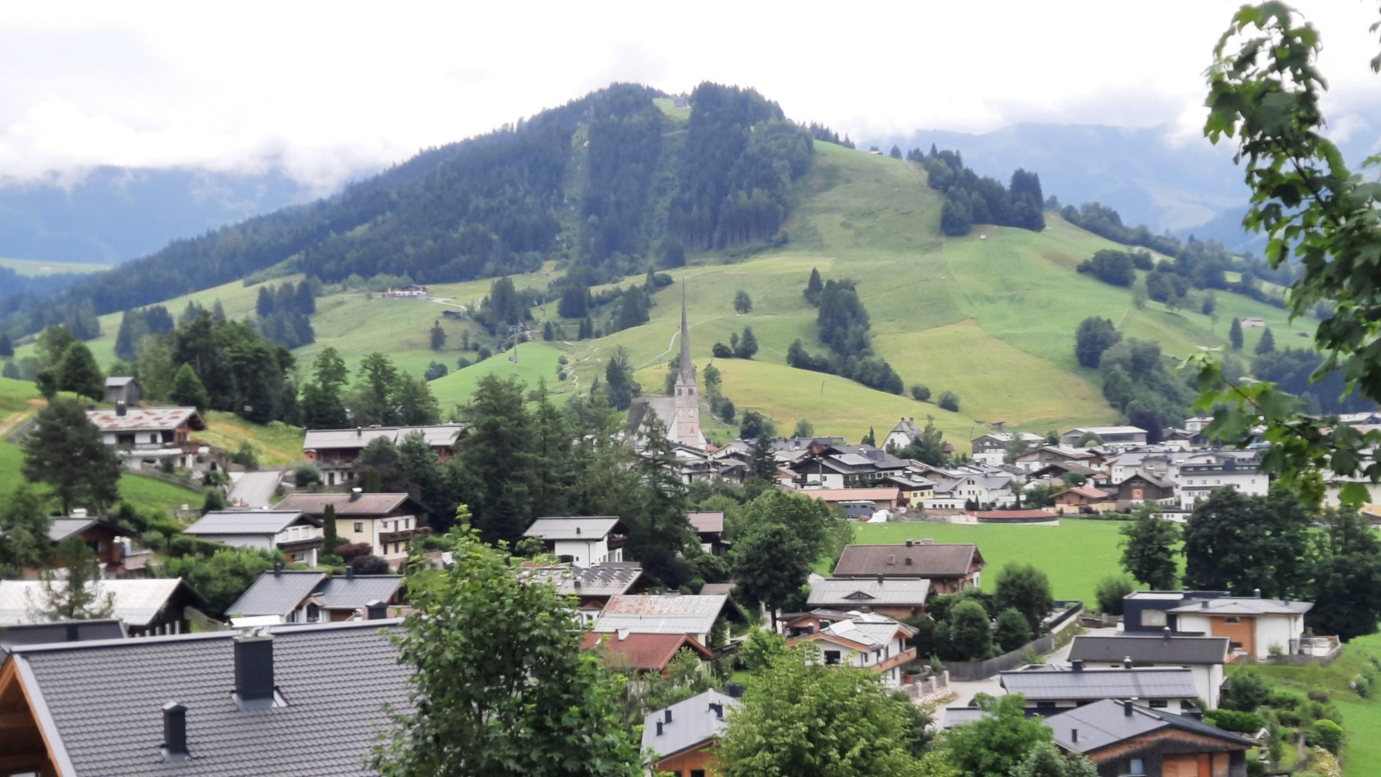
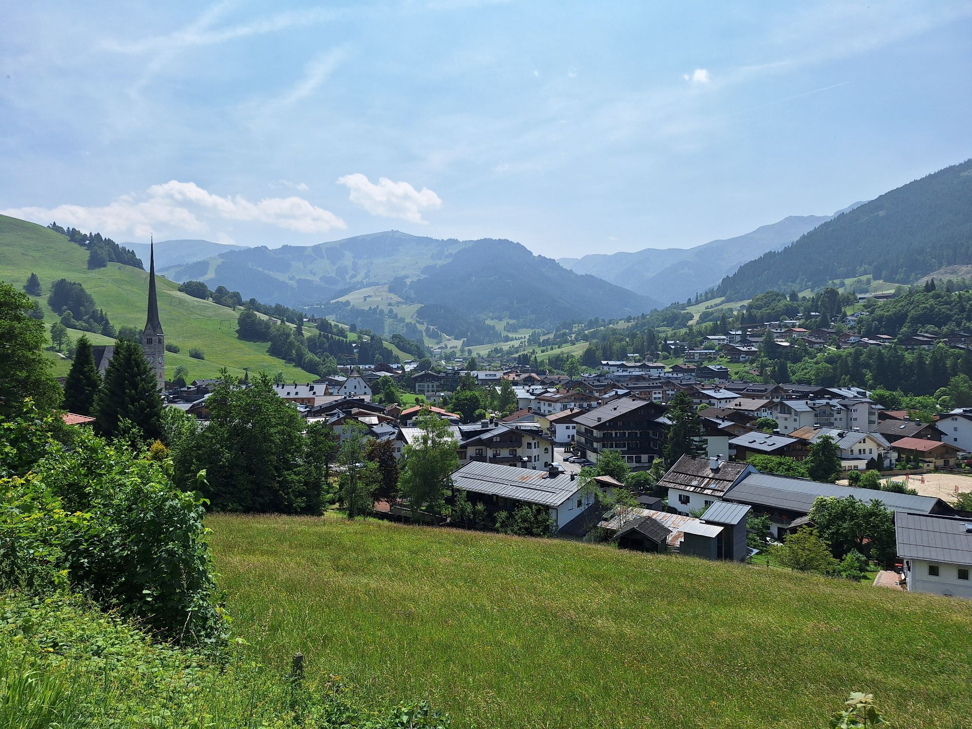
The scenic winter hike starts at the village square in Maria Alm. Over the bridge opposite (next to the Moserwirt inn) you walk past the Almerwirt inn. Here begins path no. 12 towards Saalfelden. Along the way you pass the dreamy Gasteg chapel, which is located on a small hill. Perhaps you are lucky, and the Augenbründl, according to legend a miraculous healing spring, bubbles cheerfully. Now follows a short, somewhat steep ascent to Dürnberg on path no. 21b, always along the forest edge with a magnificent view of the Steinerne Meer. After a short stretch in the forest, you branch off onto path no. 21c, descend past the Schönbergbauern into the Grießbachgraben and thus return again to Maria Alm.

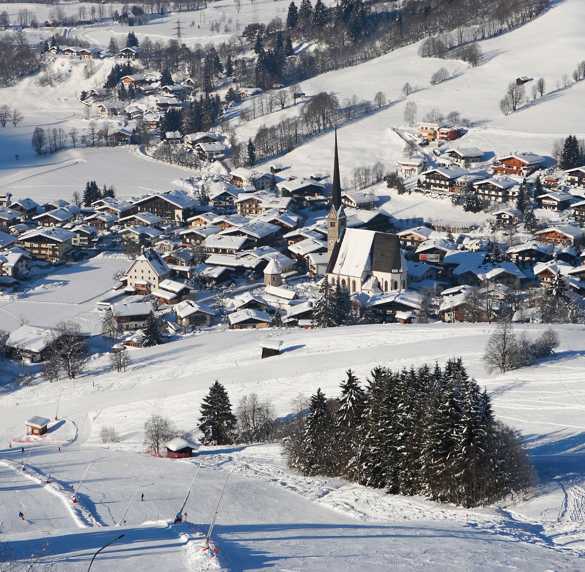
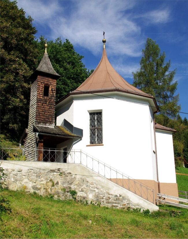
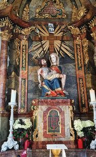
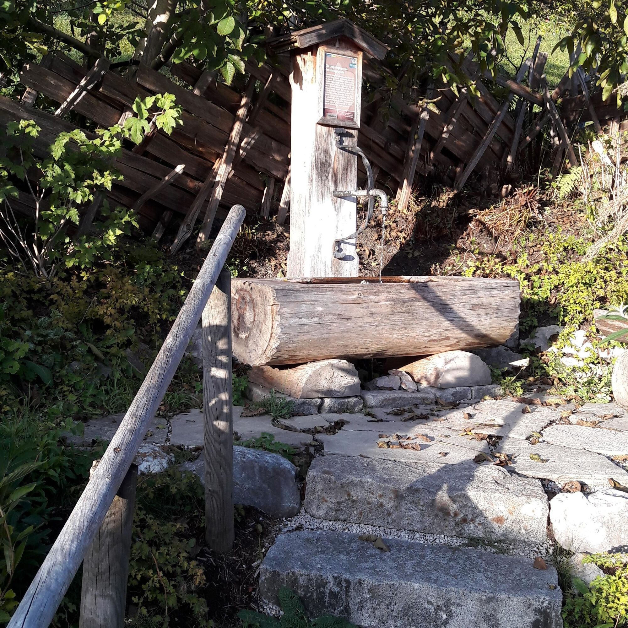
The scenic winter hike starts at the village square in Maria Alm. Over the bridge opposite, which lies next to the Moserwirt inn, you pass by the Almerwirt inn. Here begins path no. 12 towards Saalfelden. Along the way, you pass the dreamy Gasteg chapel, which sits on a small hill. Perhaps you’ll be lucky and the Augenbründl, a miraculous healing spring, bubbles cheerfully. After the chapel, there is a short, somewhat steep ascent to Dürnberg on path no. 21b. You hike along the forest edge, enjoying the beautiful view of the Steinerne Meer (Rocky Sea). After walking a short stretch through the forest, you branch off onto path no. 21c. From there, you descend past the Schönbergbauern into the Grießbachgraben and thus return to Maria Alm. Have fun on your hike!
Ja
Clothing: warm, layered clothing, hat, gloves, non-slip boots
Equipment: daypack, hiking poles, headlamp, possibly crampons or snowshoes
Safety & navigation: mobile phone, map/GPS, first aid kit, whistle
Food and drink: water, snacks, thermos flask
Optional: sunglasses, sun cream, seat pad
Check the weather: Obtain the latest weather and avalanche reports before setting off.
Wear the right clothing: Layers, waterproof, warm, with a hat, gloves and non-slip boots.
Equipment: Walking sticks, head torch, map/GPS, mobile phone, first aid kit. In case of ice or snow, possibly snowshoes or crampons.
Consider your fitness level: Adjust your pace to suit your fitness level.
Make use of daylight: Winter days are short – allow enough time.
Avoid slipping: Walk carefully, use poles and non-slip soles.
Food and drink: Take water, warm drinks and snacks with you.
Emergency plan: Tell someone your route and have emergency numbers to hand.
Respect nature: stay on the paths, avoid avalanche and wildlife protection areas.
Arrival coming from Salzburg: Take the A10 motorway to the Bischofshofen exit, then follow the B311 towards Bischofshofen. Follow the Hochkönig federal road/B164 to Maria Alm.
Arrival coming from Innsbruck/Kufstein: Take the Loferer road/B178 towards St. Johann i.T., then continue via the Hochkönig federal road/B164 via Saalfelden to Maria Alm.
A valid vignette is required for the use of the Austrian motorway and expressway network. Carrying a first-aid kit, warning triangle, and safety vest is also mandatory. More information at Asfinag.
ÖBB-Scotty: timetable info
Bus line 620: timetable info
Ski bus: timetable info
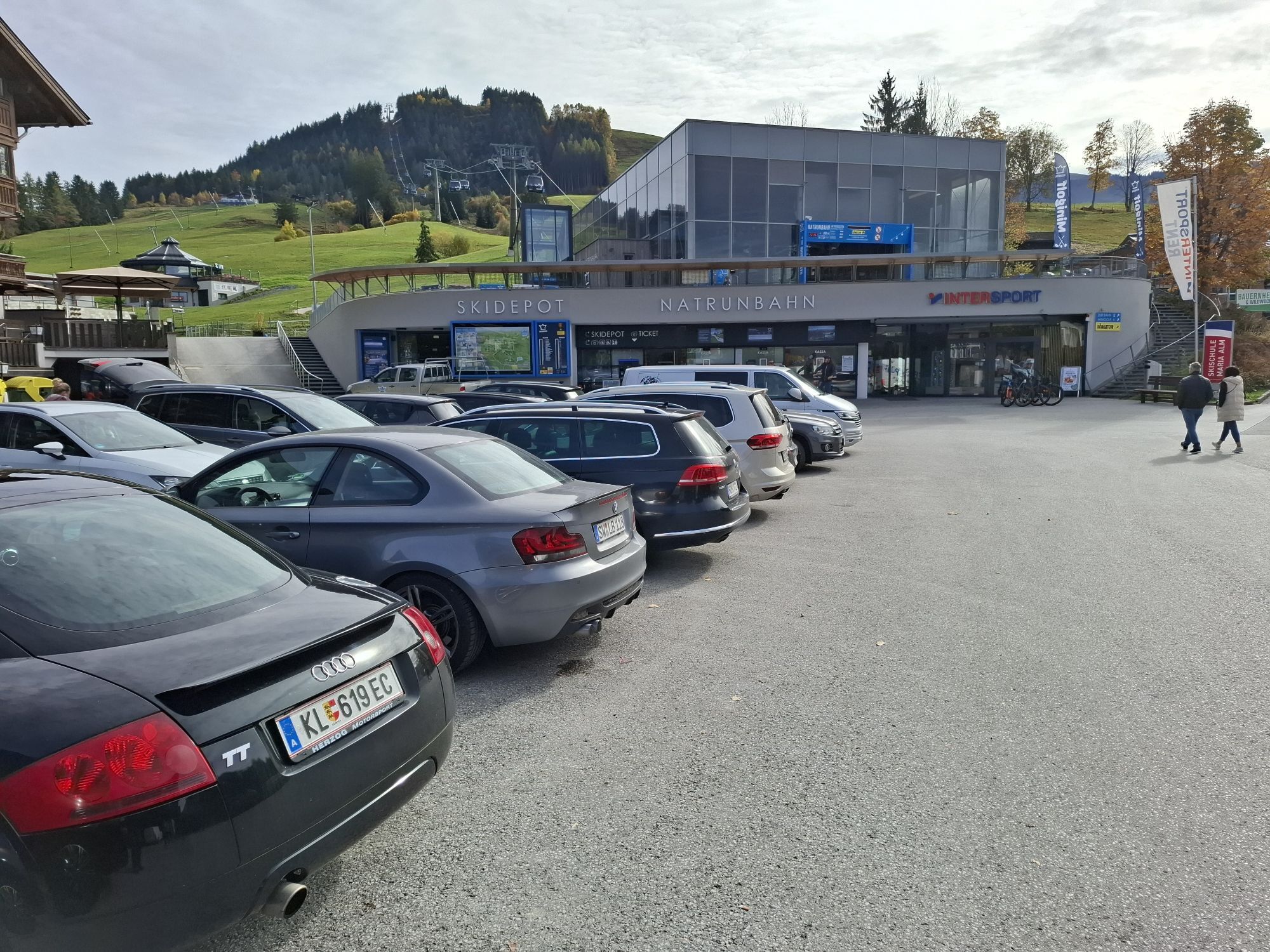
Free parking spaces at the entrance and in the centre of Maria Alm
2
Further information on winter hikes and activities in the Hochkönig region:
For detailed information on hiking maps, the opening hours of the mountain railways and the huts and alpine pastures in winter, we recommend visiting the local service centre. There you will not only receive a hiking map, but also valuable tips on the best winter hiking routes and current conditions.
Opening hours of the mountain railways in winter: The mountain railways offer different opening hours during the winter months, which can vary depending on weather conditions and the season. Please check the current operating hours in advance.
Opening hours of huts and alpine pastures in winter: The huts and alpine pastures in the region are ideal rest stops for hikers. Here, too, opening hours may vary depending on the season and day of the week. Ask the friendly hosts for advice on what's on offer and local specialities.
For further information, please visit our website: www.hochkoenig.at.
If you have any questions or would like specific information, please feel free to contact us:
Email: region@hochkoenig.at
Telephone: +43 (0)6584 20388
We look forward to helping you and hope you enjoy exploring the beautiful Hochkönig winter region!
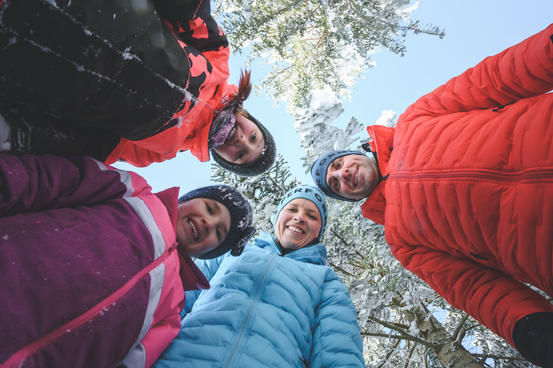
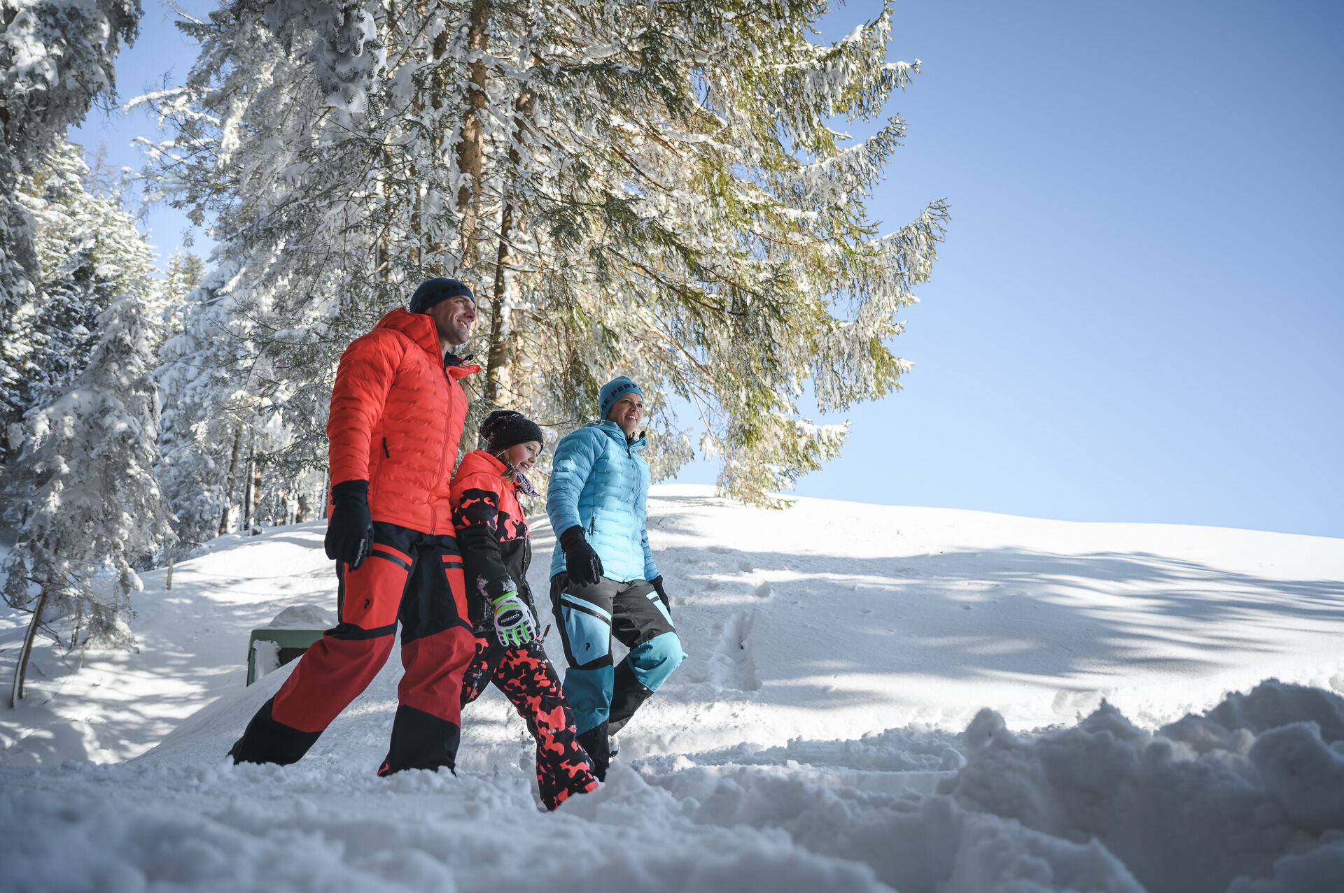
A scenic winter hike for the whole family.
Populære ture i området
-
4.8
Summit storming route Taghaube
tungVandring 6.25 km -
4.8
Summit stormer route Lauskopf
tungVandring 8.16 km -
5.0
Königssee - Kärlinger-Haus
Vandring 10.1 km -
4.4
Riemannhaus
tungVandring 3.69 km -
4.5
Birnbachloch Leogang, Österreich
MediumVandring 5.18 km -
3.9
Mühlbacher Höhenweg
MediumVandring 11.2 km -
4.3
Peter-Wiechenthaler Hut
MediumVandring 4.32 km -
3.0
Alpine hike to Erichhütte
lysVandring 4.02 km -
4.1
Passauer Hütte
tungVandring 4.14 km -
3.9
Persailhorn South via ferrata
MediumVia ferrata 6.83 km
Vandring og sporing


Gå ikke glip af tilbud og inspiration til din næste ferie
Din e-mailadresse er blevet tilføjet til mailinglisten.