


Billeder af vores brugere
-
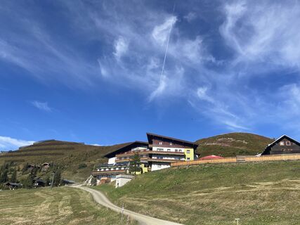
 © firebird 93Oprettet den 28.09.2023
 -
 © firebird 93Oprettet den 28.09.2023
 -
 © firebird 93Oprettet den 28.09.2023
 -
 © Andreas AufschnaiterOprettet den 05.09.2022
 -
 © Bernd EttingerOprettet den 14.09.2020
 -
 © MiriamhaferkampOprettet den 21.08.2025
 -

 © Werner RupprechtOprettet den 09.08.2025
 -
 © Peter GerdemannOprettet den 25.06.2025
 -
 © Peter GerdemannOprettet den 25.06.2025
 -
 © Peter GerdemannOprettet den 25.06.2025
 -
 © Hermann E.Oprettet den 08.06.2024
 -

 © juliphiOprettet den 30.08.2024
 -
 © juliphiOprettet den 30.08.2024
 -
 © juliphiOprettet den 30.08.2024
 -
 © Zoran DujakovicOprettet den 18.05.2024
 -
 © firebird 93Oprettet den 28.09.2023
 -
 © Andreas AufschnaiterOprettet den 05.09.2022
 -
 © Zoran DujakovicOprettet den 30.05.2025
 -
 © Zoran DujakovicOprettet den 30.05.2025
 -
 © Zoran DujakovicOprettet den 30.05.2025
 -
 © Matej Mikus 1Oprettet den 15.02.2025
 -
 © Matej Mikus 1Oprettet den 14.05.2024


The original Saalachtaler Höhenweg runs from Saalbach to Spielbergtörl and on to Saalfelden.
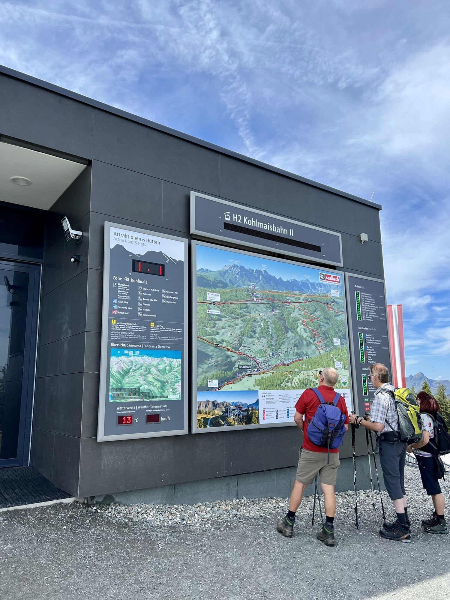
Since the existence of the Kohlmaisbahn, the starting point is at the mountain station of the lift.
From here...
The original Saalachtaler Höhenweg runs from Saalbach to Spielbergtörl and on to Saalfelden.
Since the existence of the Kohlmaisbahn, the starting point is at the mountain station of the lift.
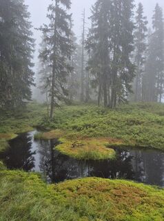
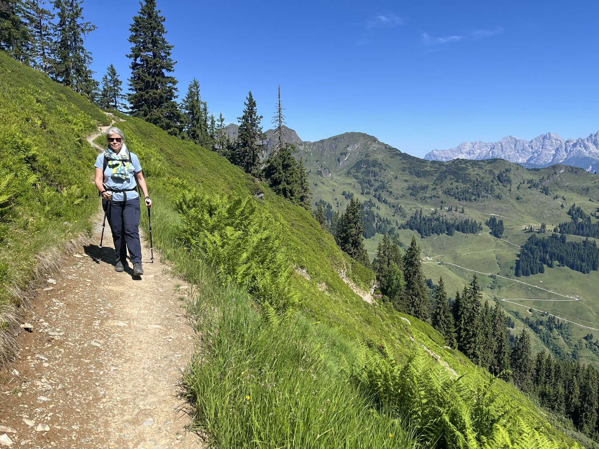
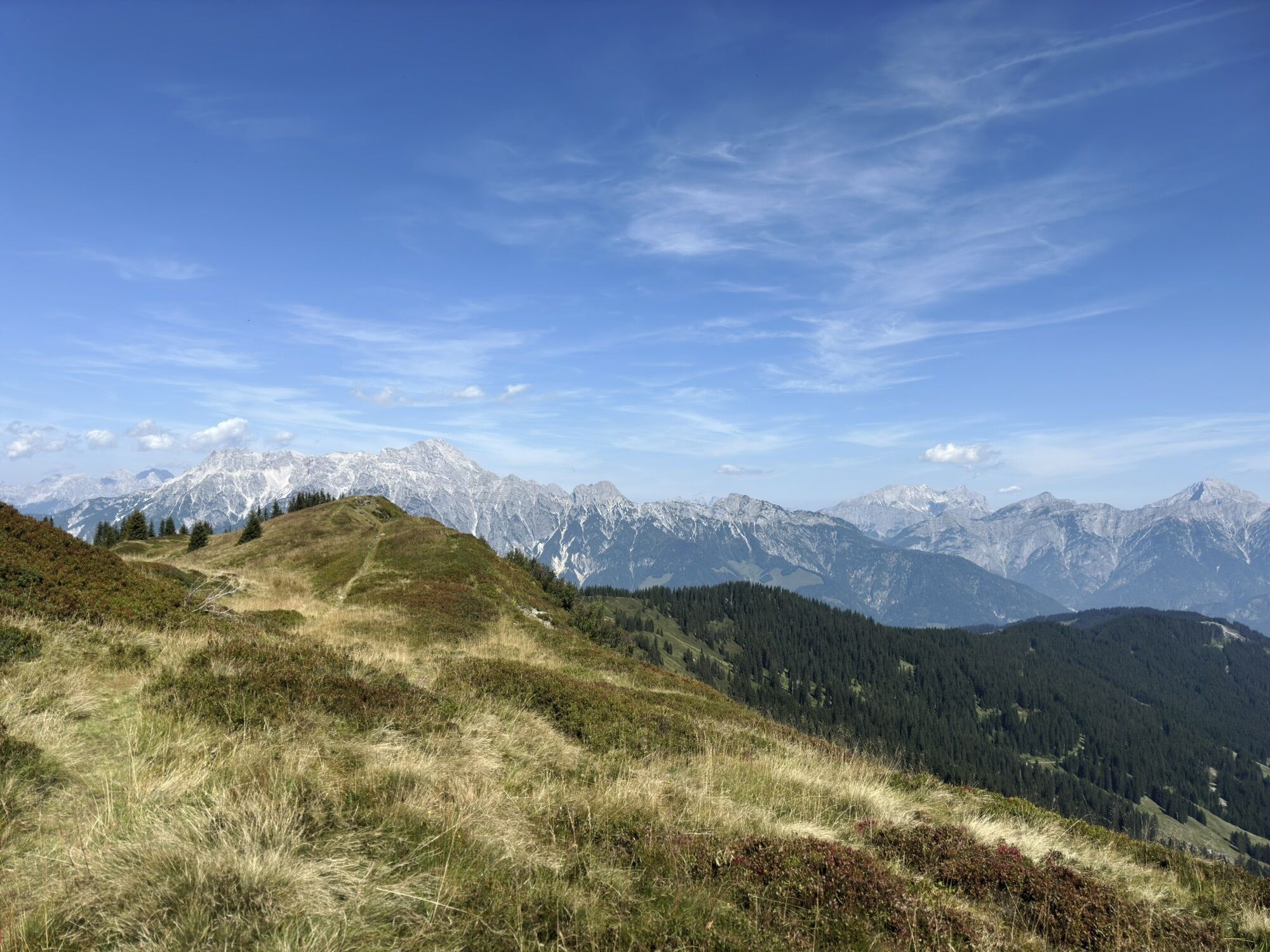
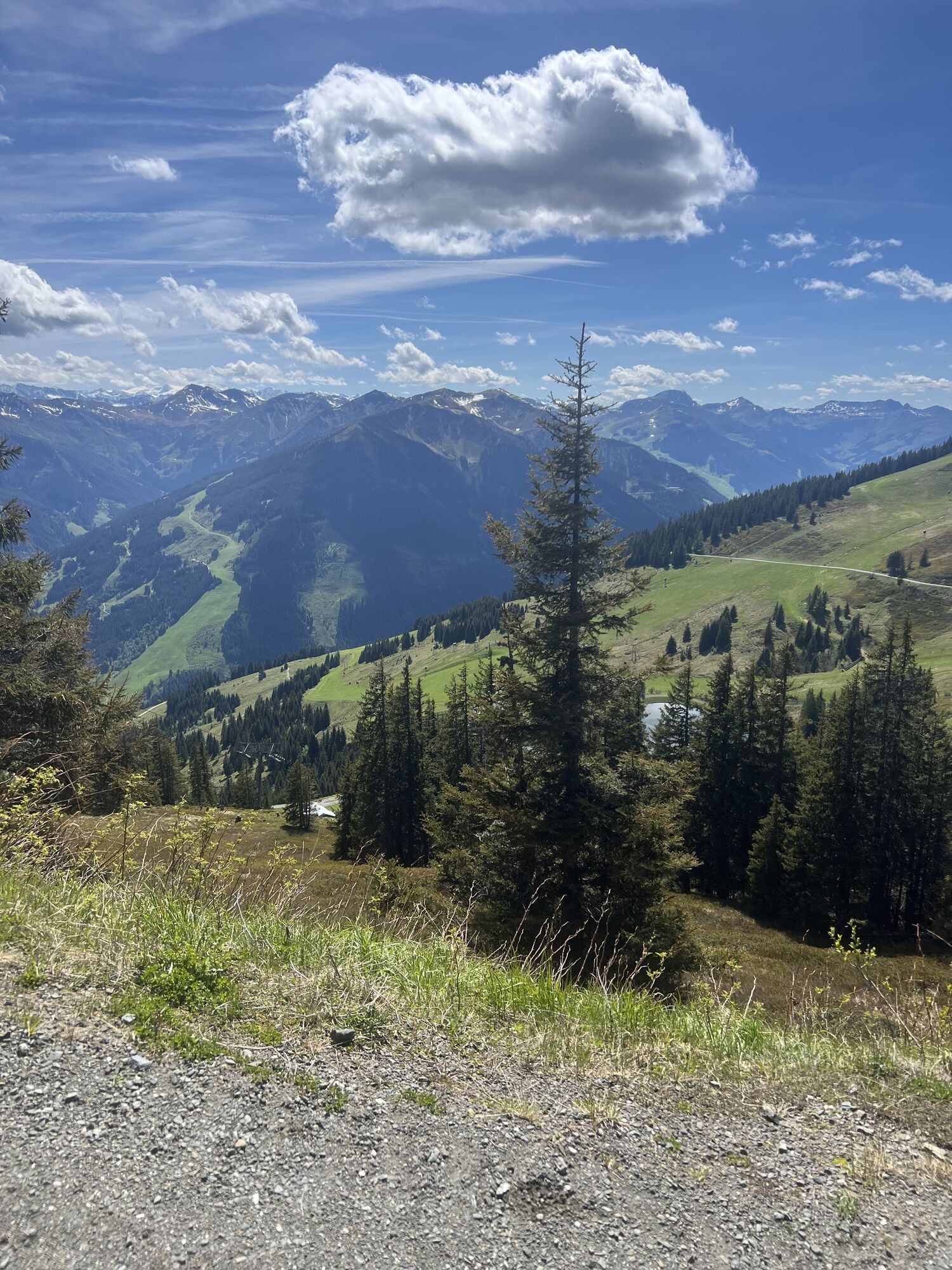
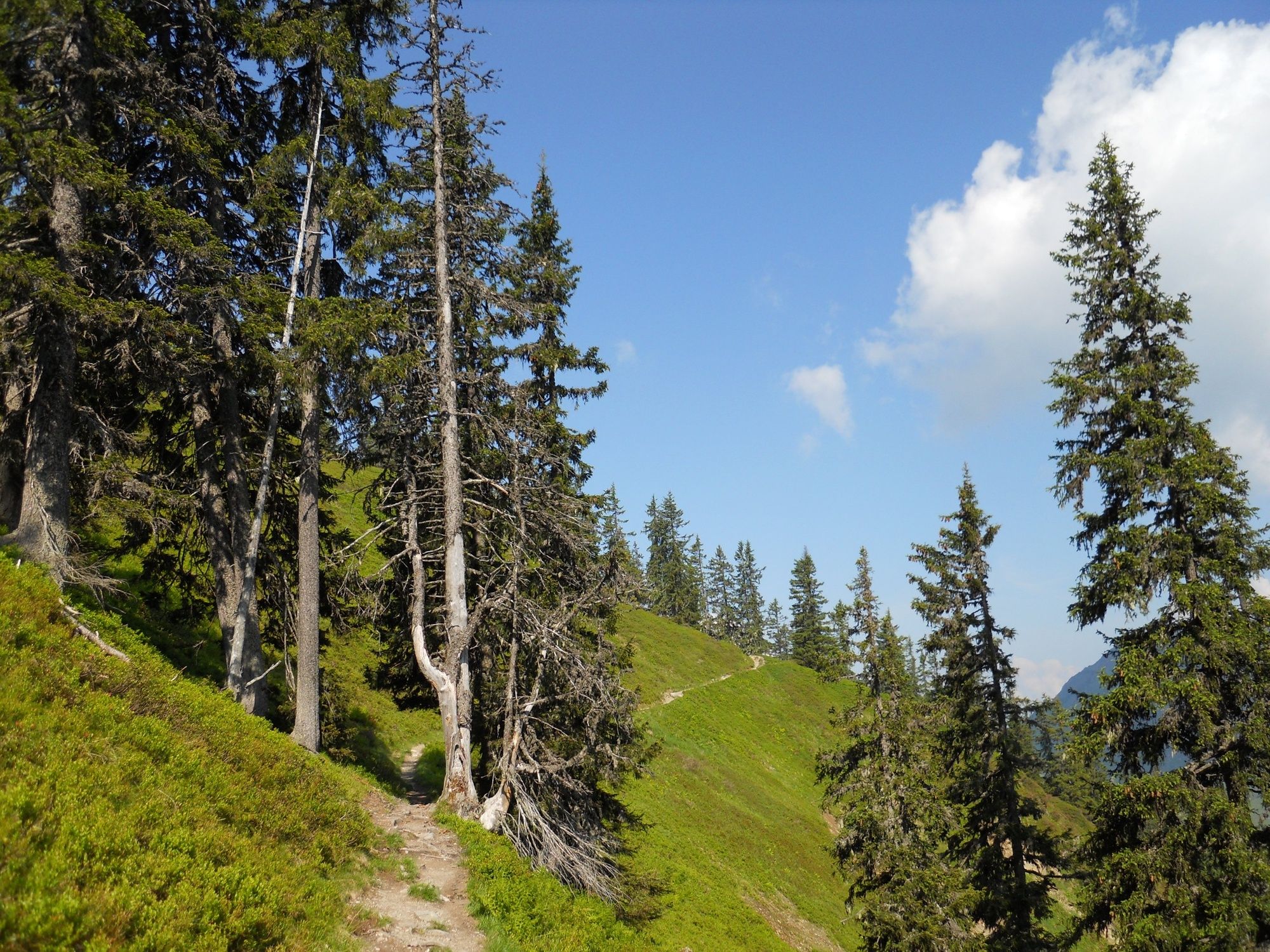
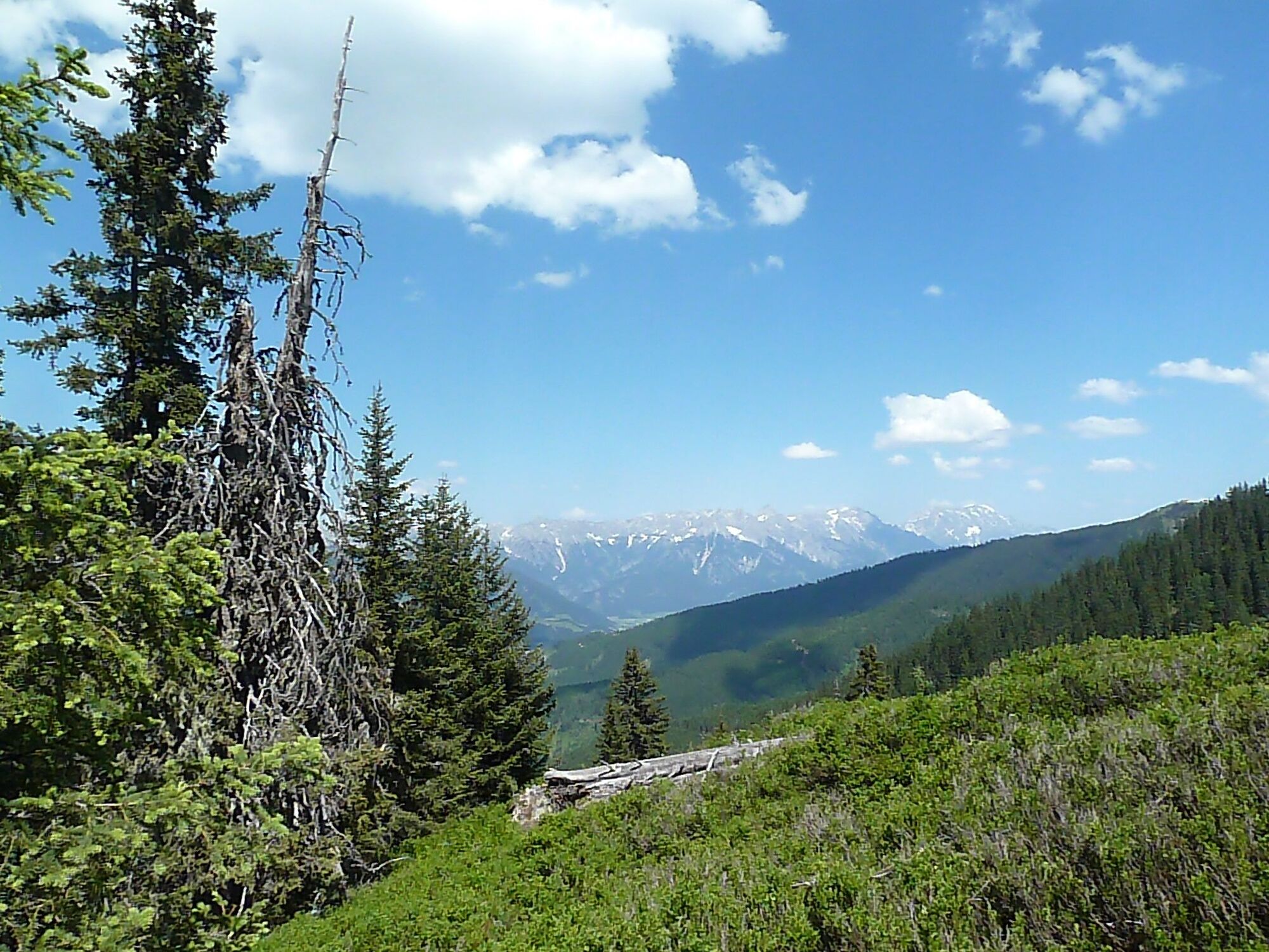
From here the route is very varied, always through forests and over mountain ridges to the Biberg.
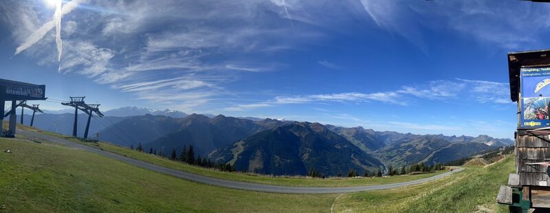
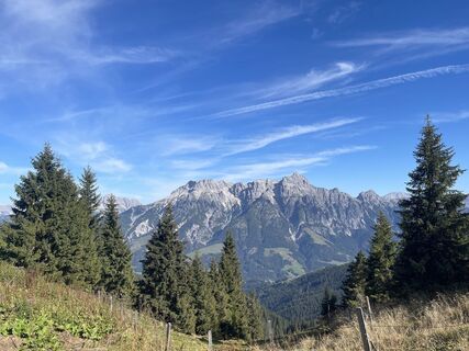
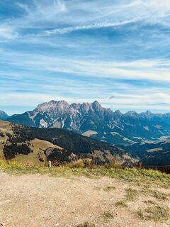
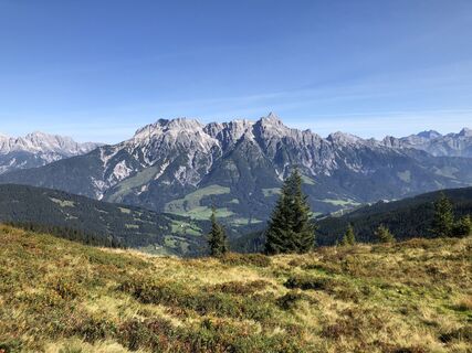
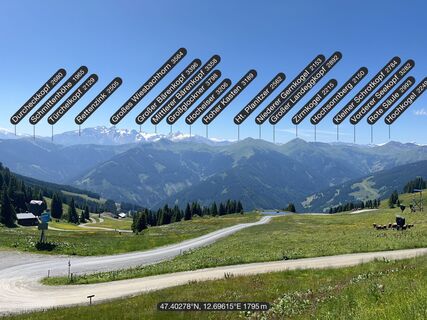
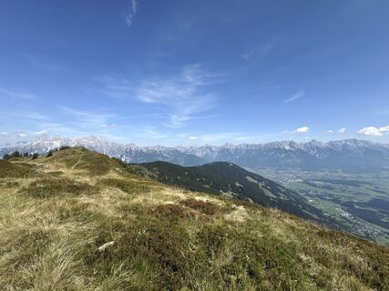
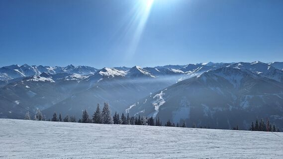
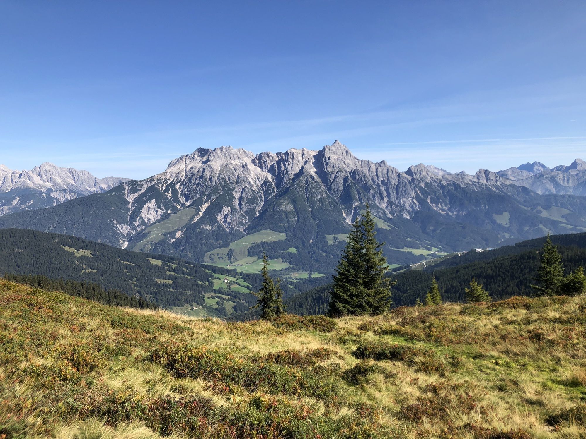
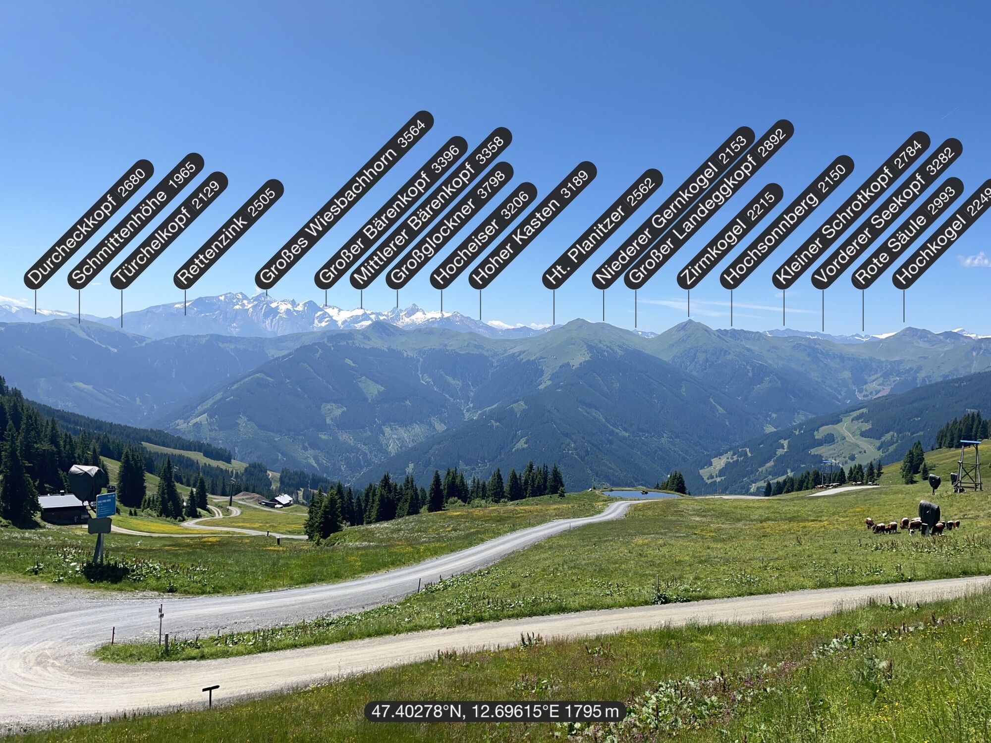
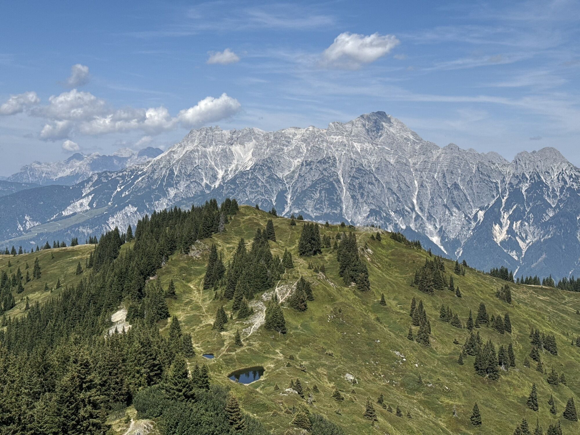
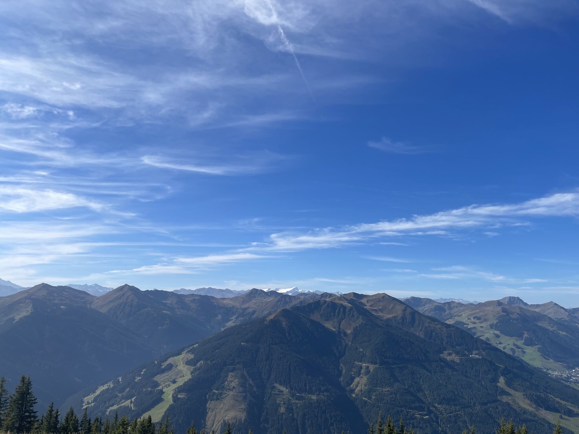
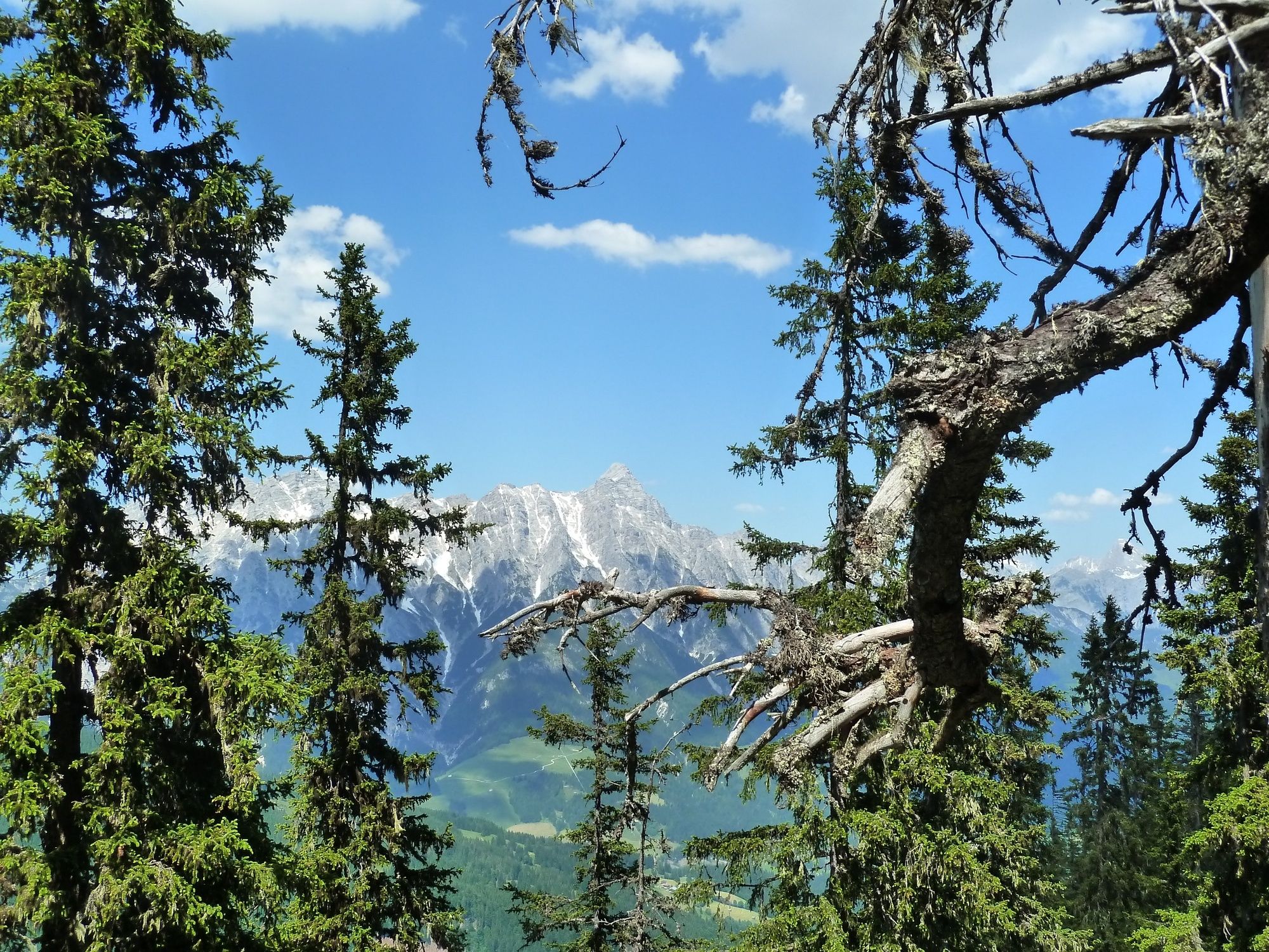
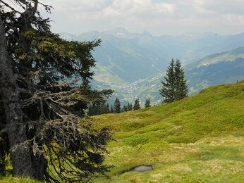
Along the way, there is a magnificent panorama with the High Tauern with Glockner and Venediger and to the south the Northern Limestone Alps with the Stone Sea, Watzmann, Hochkönig, Loferer and Leoganger Steinberge to the north.

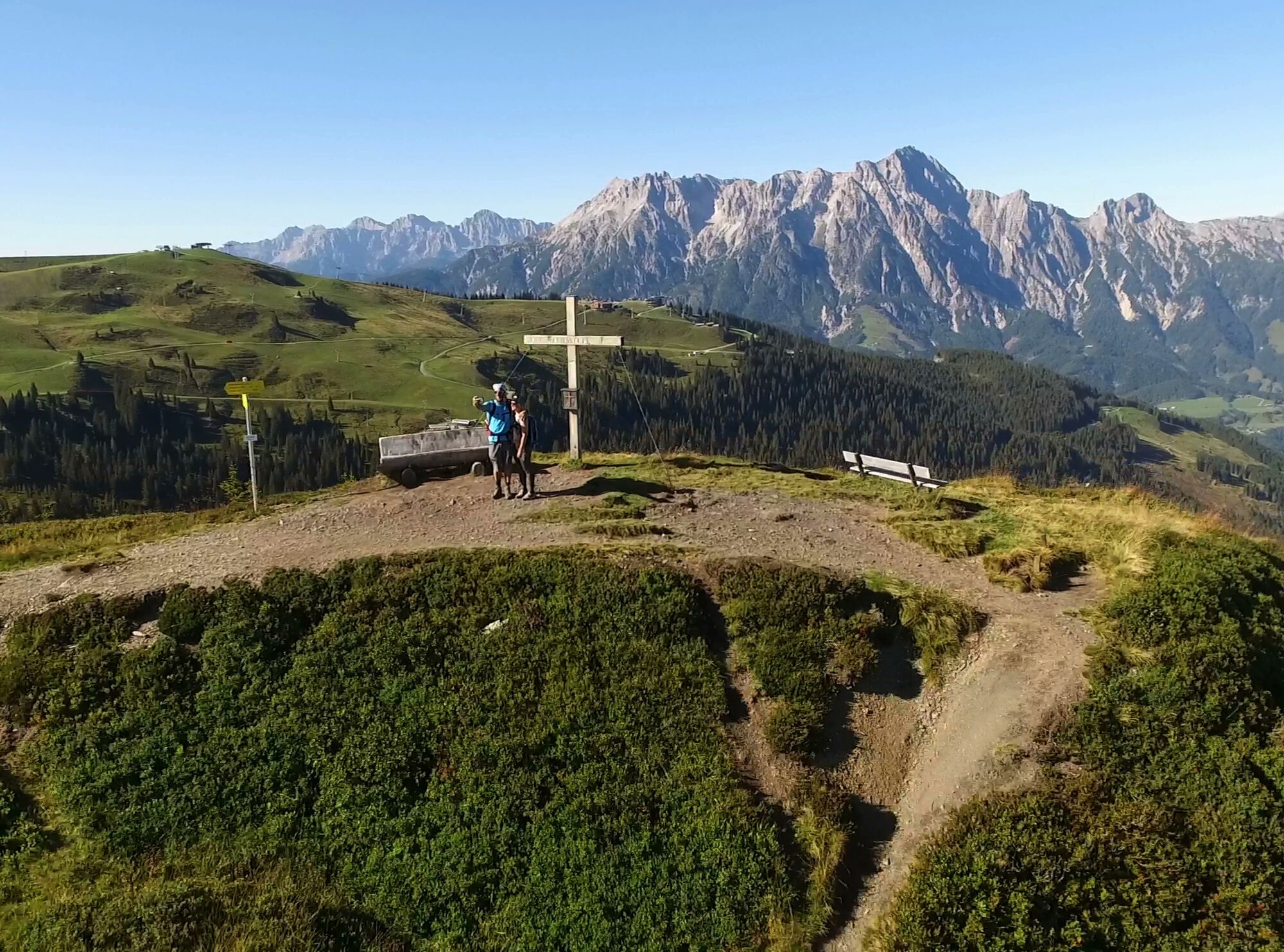
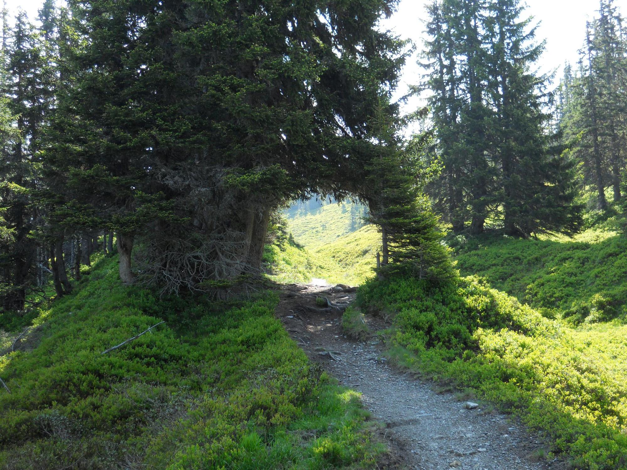


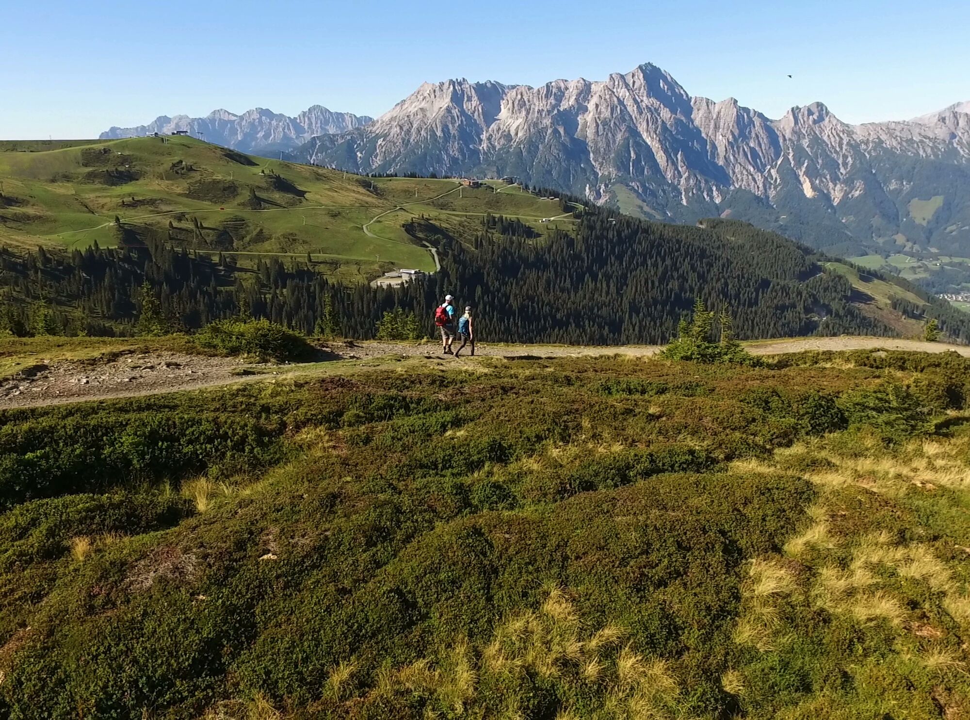
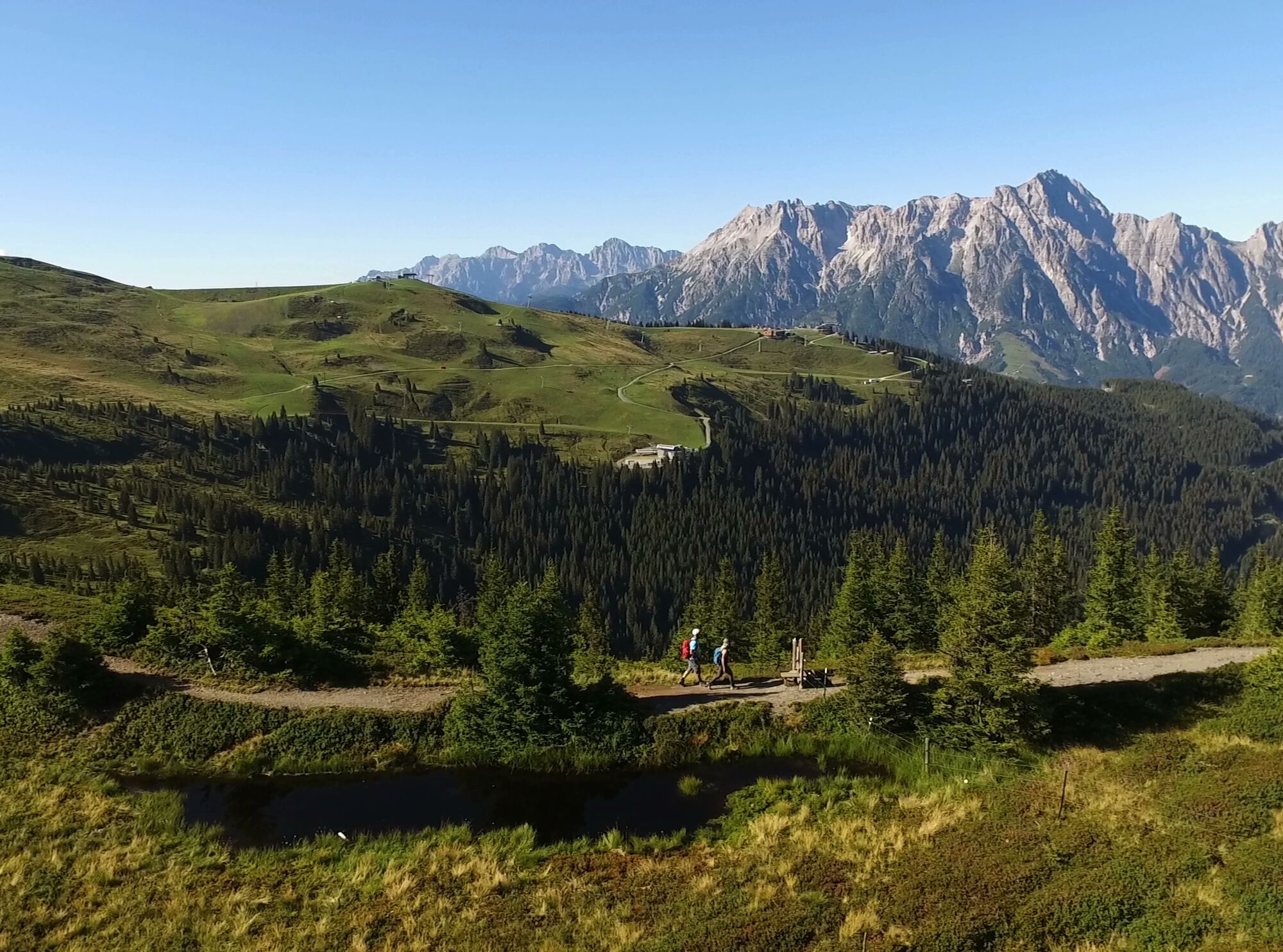
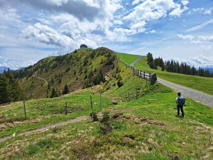
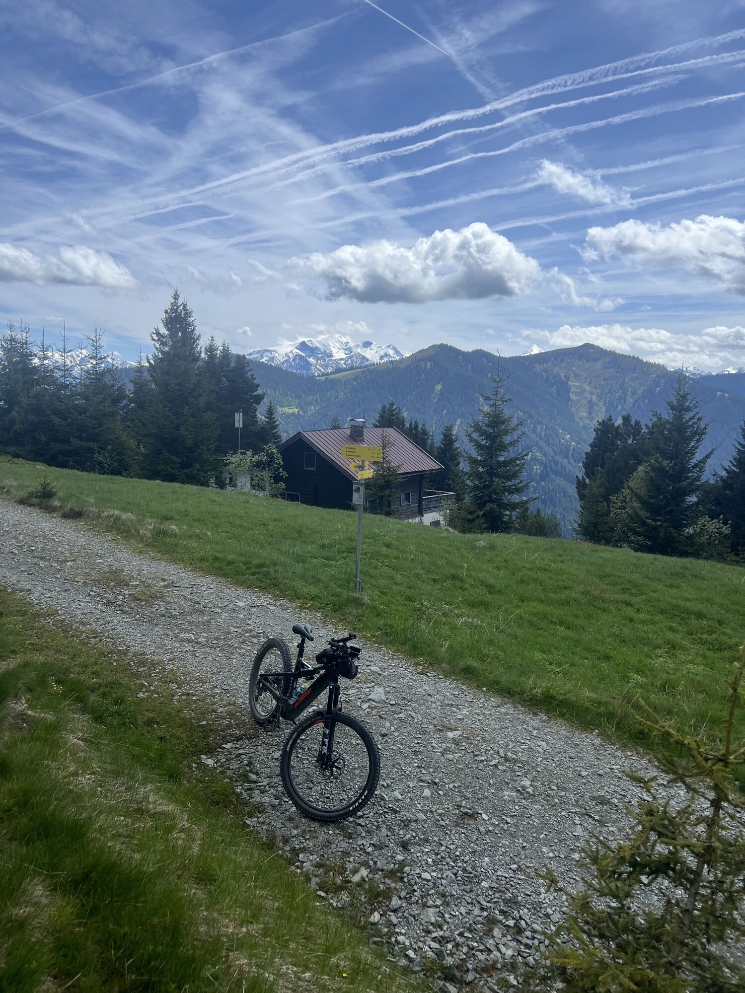
From the Kohlmaisbahn, first a slight downhill to the mountain station of the Panorama 6er, then follow the signs into the forest
and along the narrow path on the right side of the mountain ridge to the Grünen Böden hut.
After a short rest, uphill over the ridge to the Wildenkar hut.
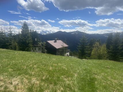
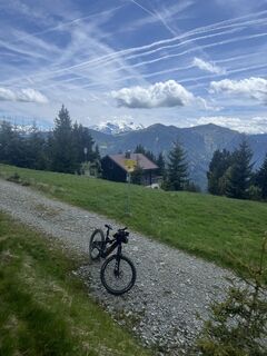
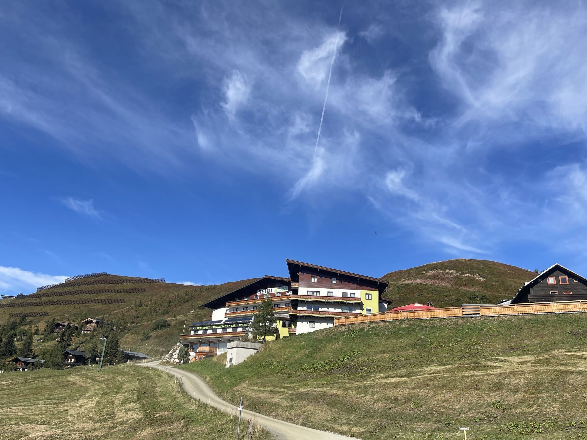
Now past the beautifully located reservoir down to the Seidlalm, from here about 15 minutes along the forest road
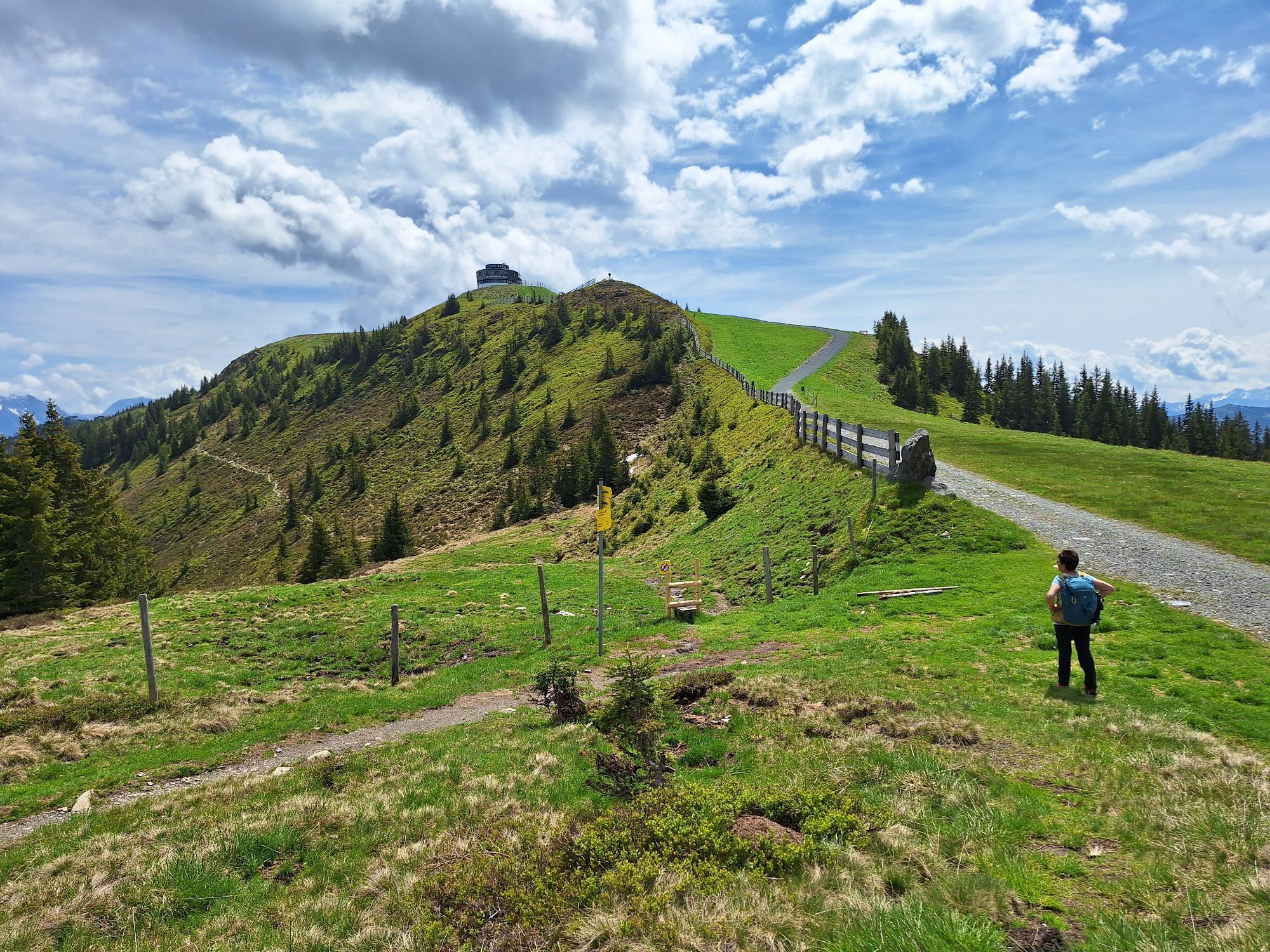
to the Asitz.
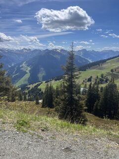
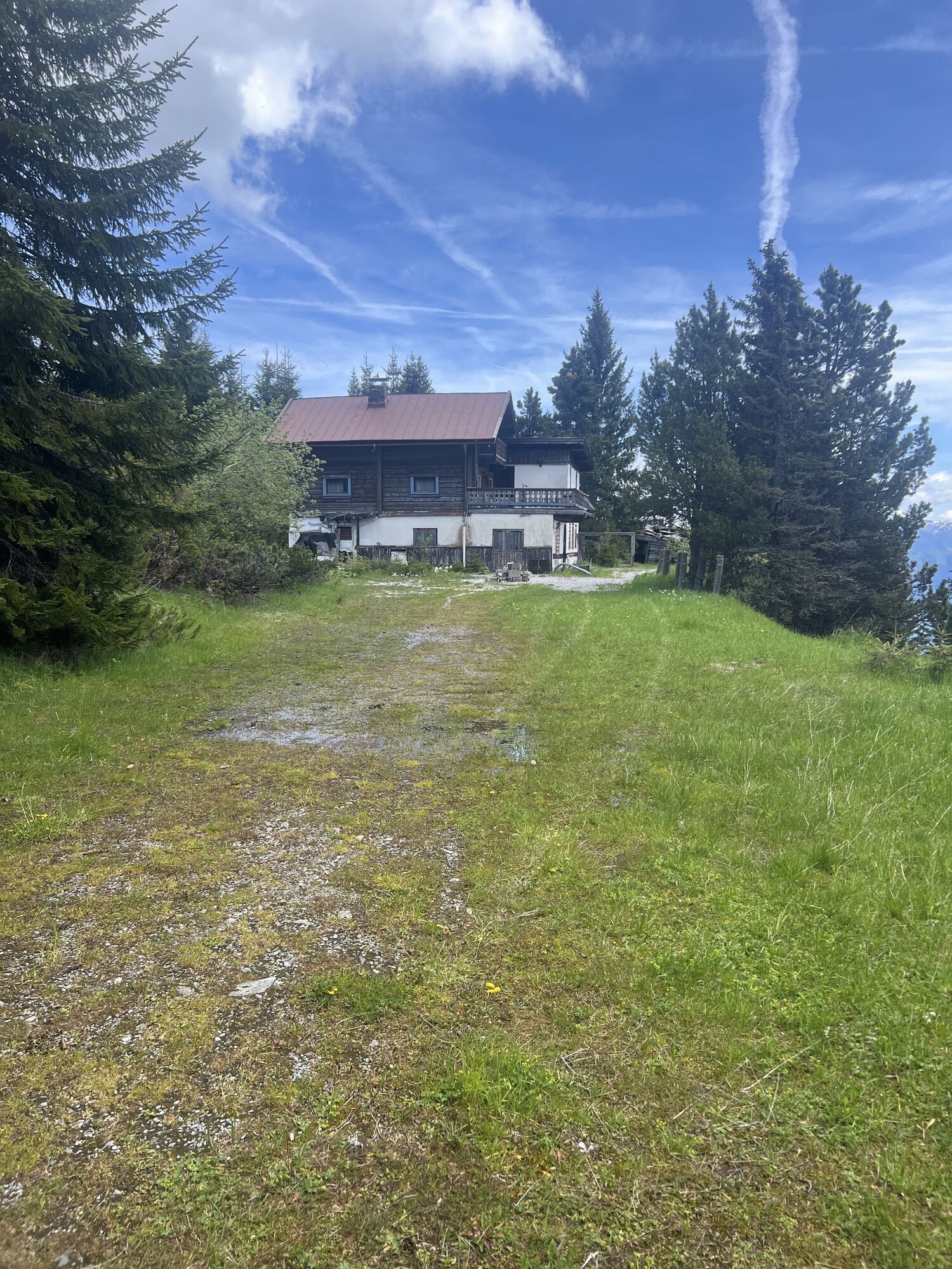
Now on the Leoganger side to the Geierkogel and shortly afterwards to the shelter hut of the same name.
The next destination for hikers who want to go to Viehhofen is the Sausteige with a wonderful view of Lake Zell,
unfortunately, the Jahnhütte is closed, so there is no opportunity to stop here on the descent.
Therefore, it is recommended to continue to the Biberg.
Past the Durchenkopf with the shelter hut, the Biberg mountain inn, and Huggenberg, you reach the start of the toboggan run or the mountain station of the chairlift and can comfortably descend to the valley.
Ja
Sturdy footwear, rain gear, sun protection
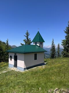
The three shelter huts are not only intended as rest stops but also for emergencies such as thunderstorms, storms, and hail.
Return trip by post bus or taxi to Saalbach.
If you have enough time and fitness, you should definitely hike to the summits of Asitz and Sausteige.
Webkameraer på turen
-
Schmittenhöhe
-
Asitz Gipfel
-
Berghotel Seidl-Alm
-
Hinterglemm Dorf
-
Asitz Mittelstation
-
Kohlmais Tal
-
Sonnkogel
-
Asitz Bergstation
-
Asitz Talstation
-
Schmittenhöhe
-
Schmittenhöhe
-
Saalbach
-
Großer Asitz / Gipfelkreuz
-
Saalbach - Alpinresort Sport & Spa
-
Talstation Asitzbahn
-
Maishofen Sausteige
-
Maishofen - Schloss Kammer
-
Leogang - Grosser Asitz
-
Maishofen Dorfplatz
-
zellamseeXpress
-
Eberharthof - Saalbach-Hinterglemm
Populære ture i området
-
4.5
Birnbachloch Leogang, Österreich
MediumVandring 5.18 km -
4.3
Peter-Wiechenthaler Hut
MediumVandring 4.32 km -
4.1
Passauer Hütte
tungVandring 4.14 km -
4.6
Steinalm
lysVandring 2.71 km -
3.9
Persailhorn South via ferrata
MediumVia ferrata 6.83 km -
4.4
Birnbachloch
MediumVandring 6.40 km -
5.0
Leoganger SOUTH
tungVia ferrata 4.08 km -
4.2
Spielbergalmen
MediumVandring 10 km -
5.0
Manlitzkogel
tungVandring 13.4 km -
4.6
Wanderung auf die Peter-Wiechenthaler-Hütte
MediumVandring i bjerge 4.02 km
Vandring og sporing


Gå ikke glip af tilbud og inspiration til din næste ferie
Din e-mailadresse er blevet tilføjet til mailinglisten.