


Billeder af vores brugere
-
 © jsOprettet den 18.09.2025
 -
 © jsOprettet den 18.09.2025
 -
 © ReginaStOprettet den 06.09.2025
 -
 © ReginaStOprettet den 06.09.2025
 -
 © Enkidu55Oprettet den 15.06.2025
 -
 © SFKOprettet den 01.05.2025
 -
 © SFKOprettet den 01.05.2025
 -
 © SFKOprettet den 01.05.2025
 -
 © SFKOprettet den 01.05.2025
 -
 © Domenic SchmidtOprettet den 30.04.2025
 -
 © Domenic SchmidtOprettet den 30.04.2025
 -
 © Domenic SchmidtOprettet den 30.04.2025
 -
 © Domenic SchmidtOprettet den 30.04.2025
 -
 © Domenic SchmidtOprettet den 30.04.2025
 -
 © MoroOprettet den 07.03.2025
 -
 © MoroOprettet den 07.03.2025
 -

 © Lehel AntalOprettet den 15.02.2025
 -

 © Heinz SperlOprettet den 17.11.2024
 -
 © Heinz SperlOprettet den 17.11.2024
 -
 © Heinz SperlOprettet den 17.11.2024
 -
 © Marina IOprettet den 21.10.2023
 -
 © Marina IOprettet den 21.10.2023
 -
 © Lizz ZzyOprettet den 15.08.2024
 -
 © Lizz ZzyOprettet den 15.08.2024
 -
 © Lizz ZzyOprettet den 15.08.2024
 -
 © Heinz SperlOprettet den 09.08.2024
 -
 © Heinz SperlOprettet den 16.09.2023
 -
 © Heinz SperlOprettet den 17.06.2023
 -
 © Heinz SperlOprettet den 17.06.2023


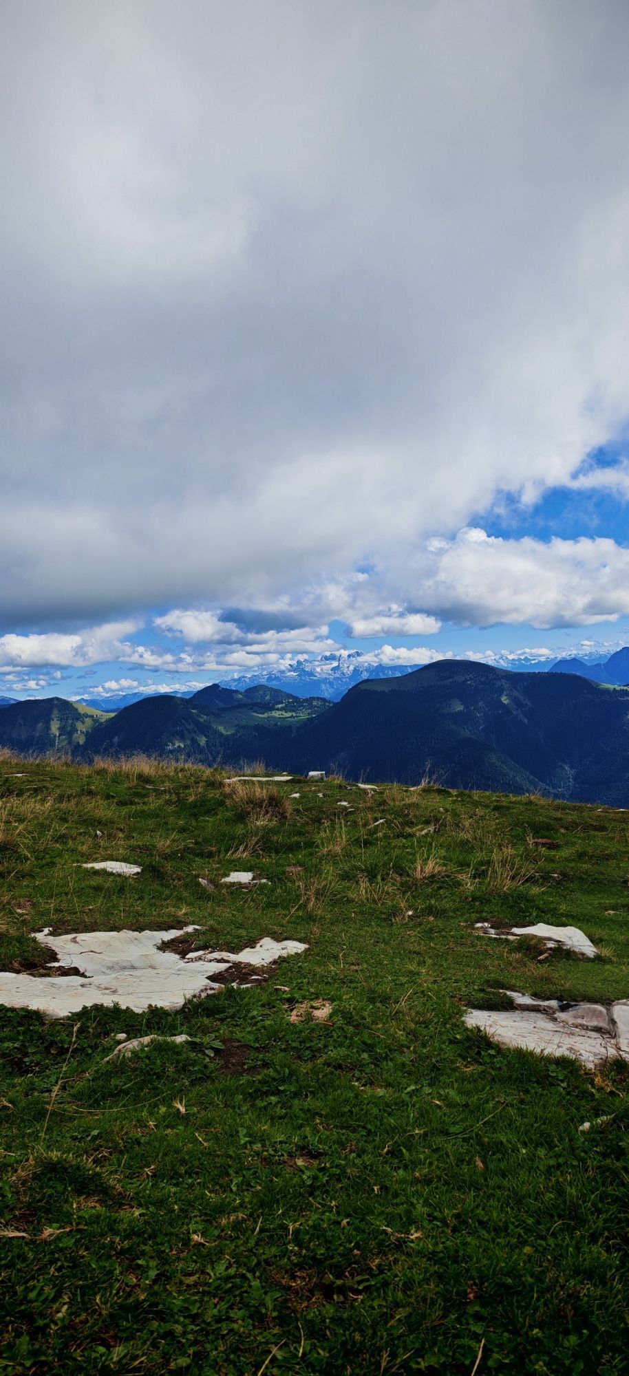
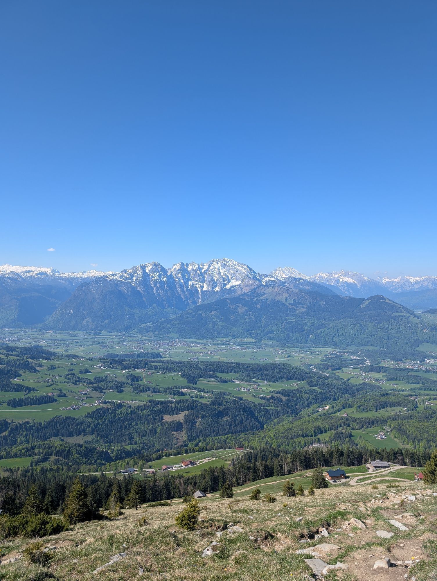
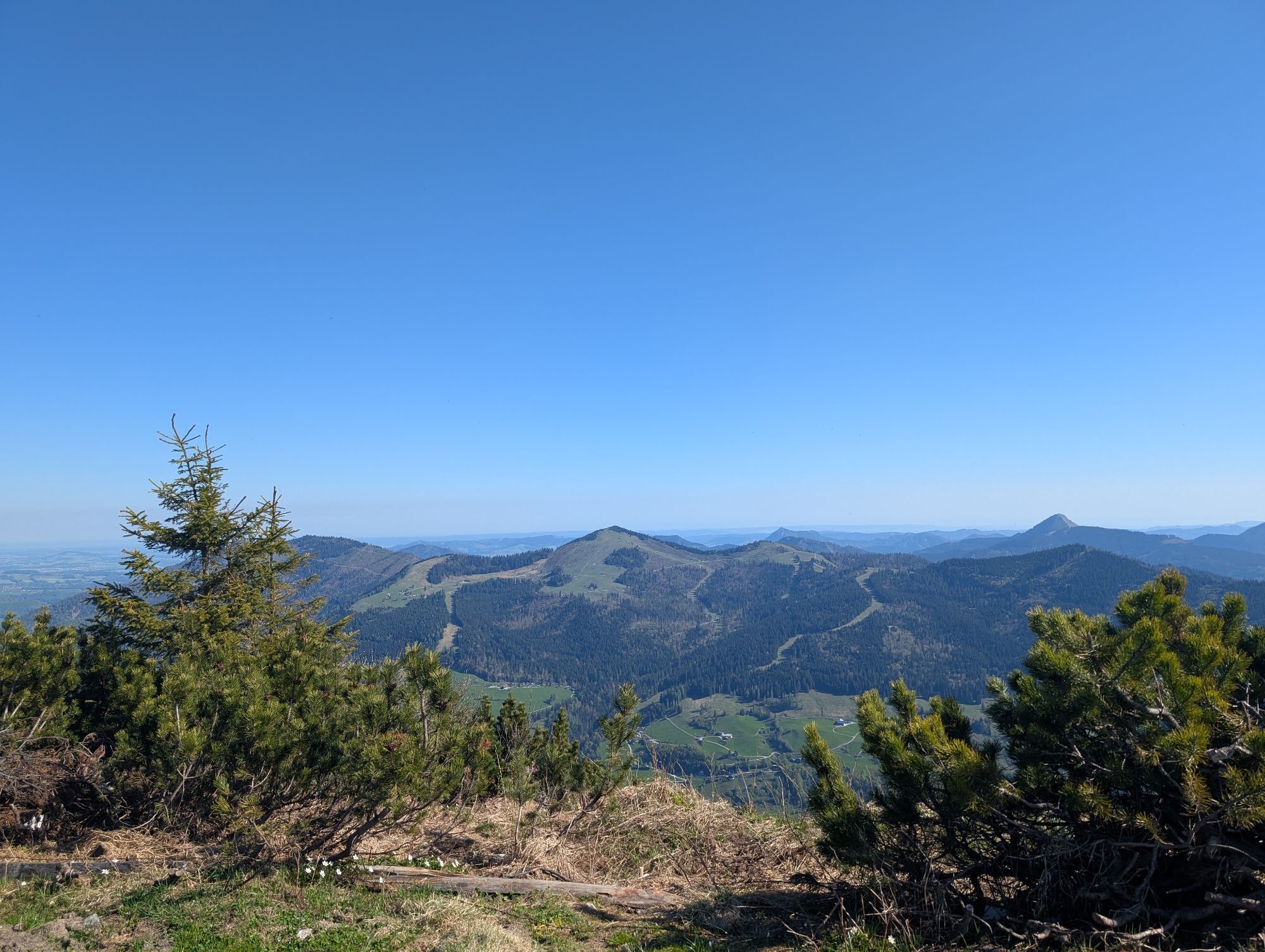

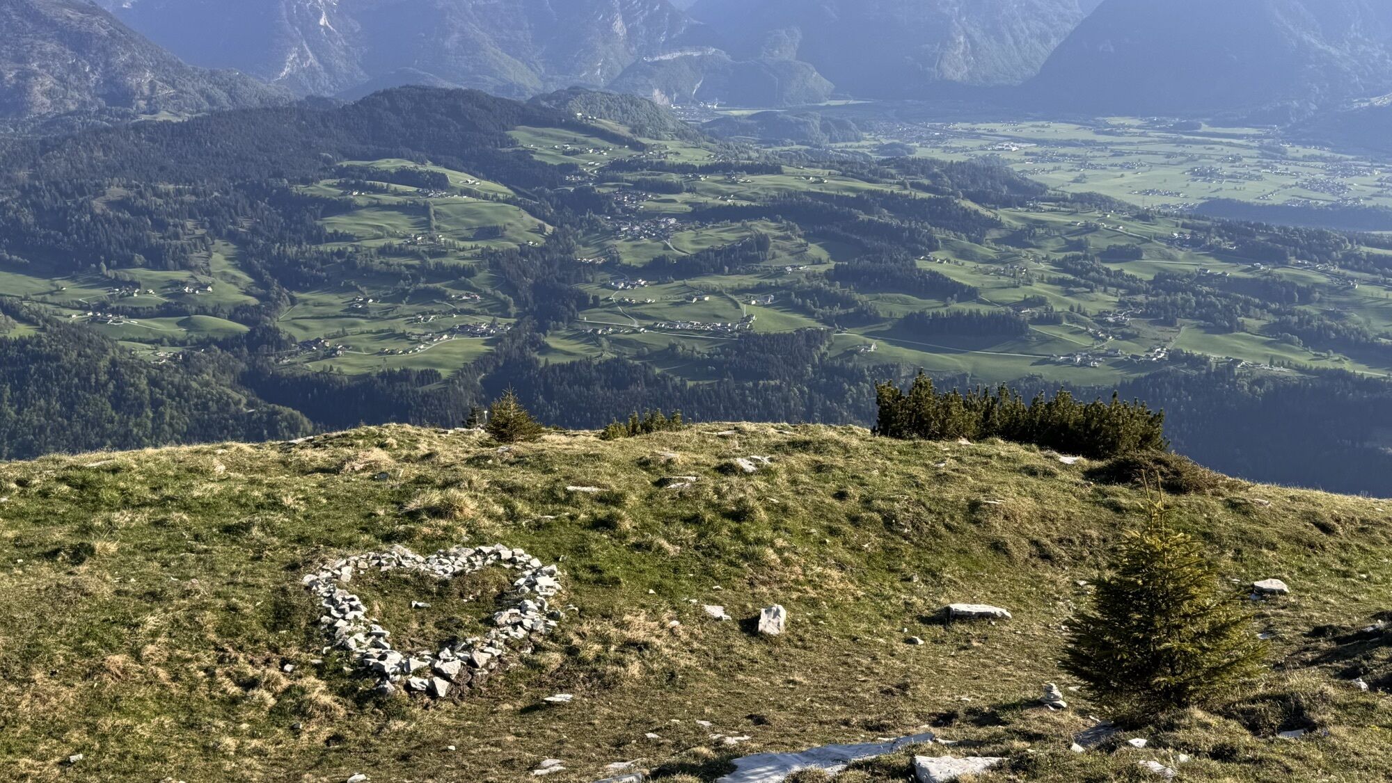
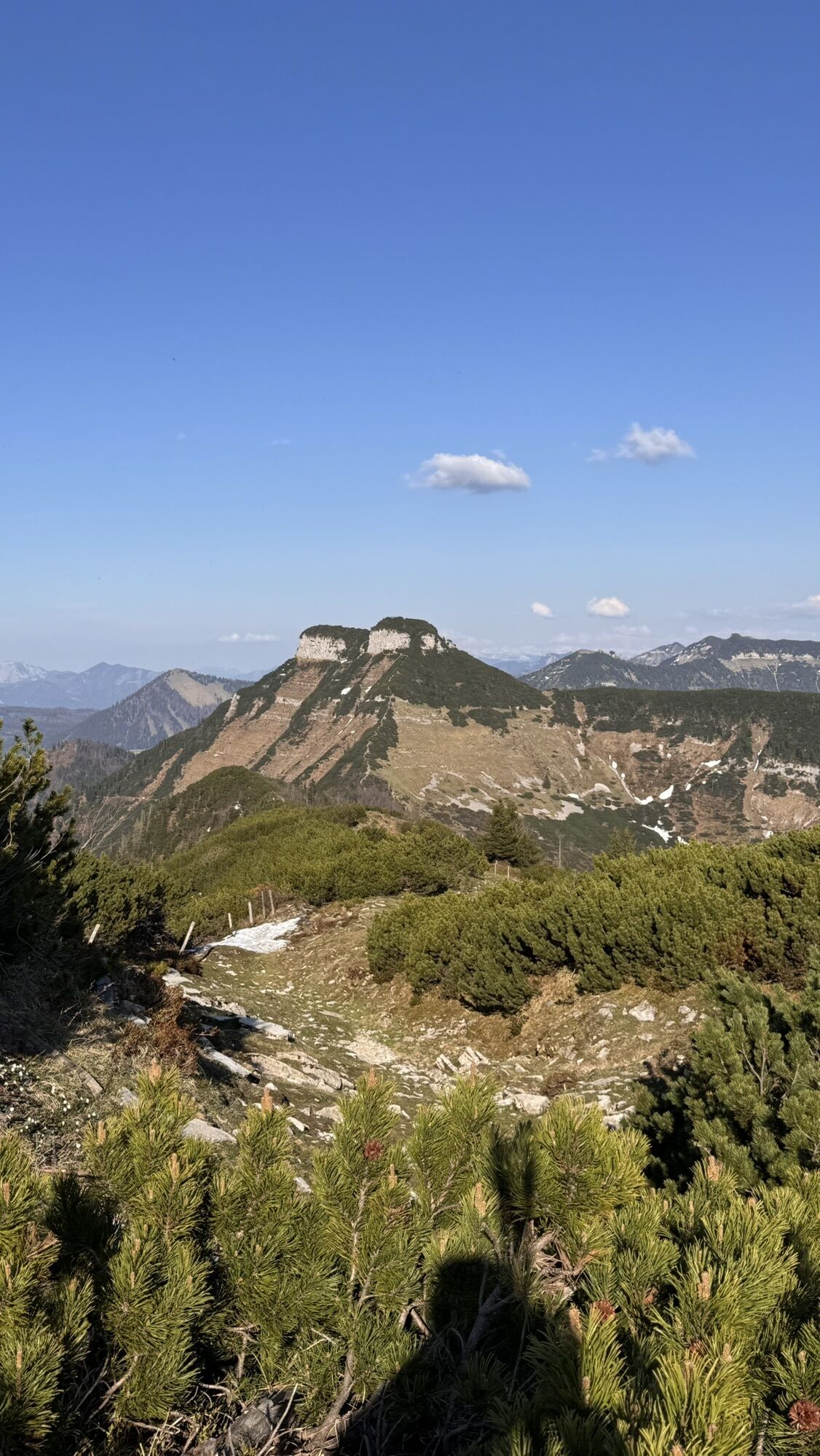

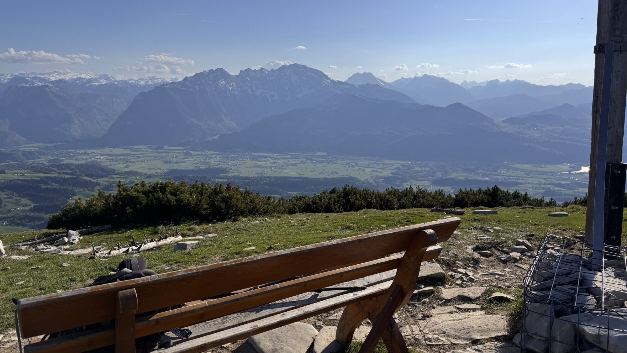


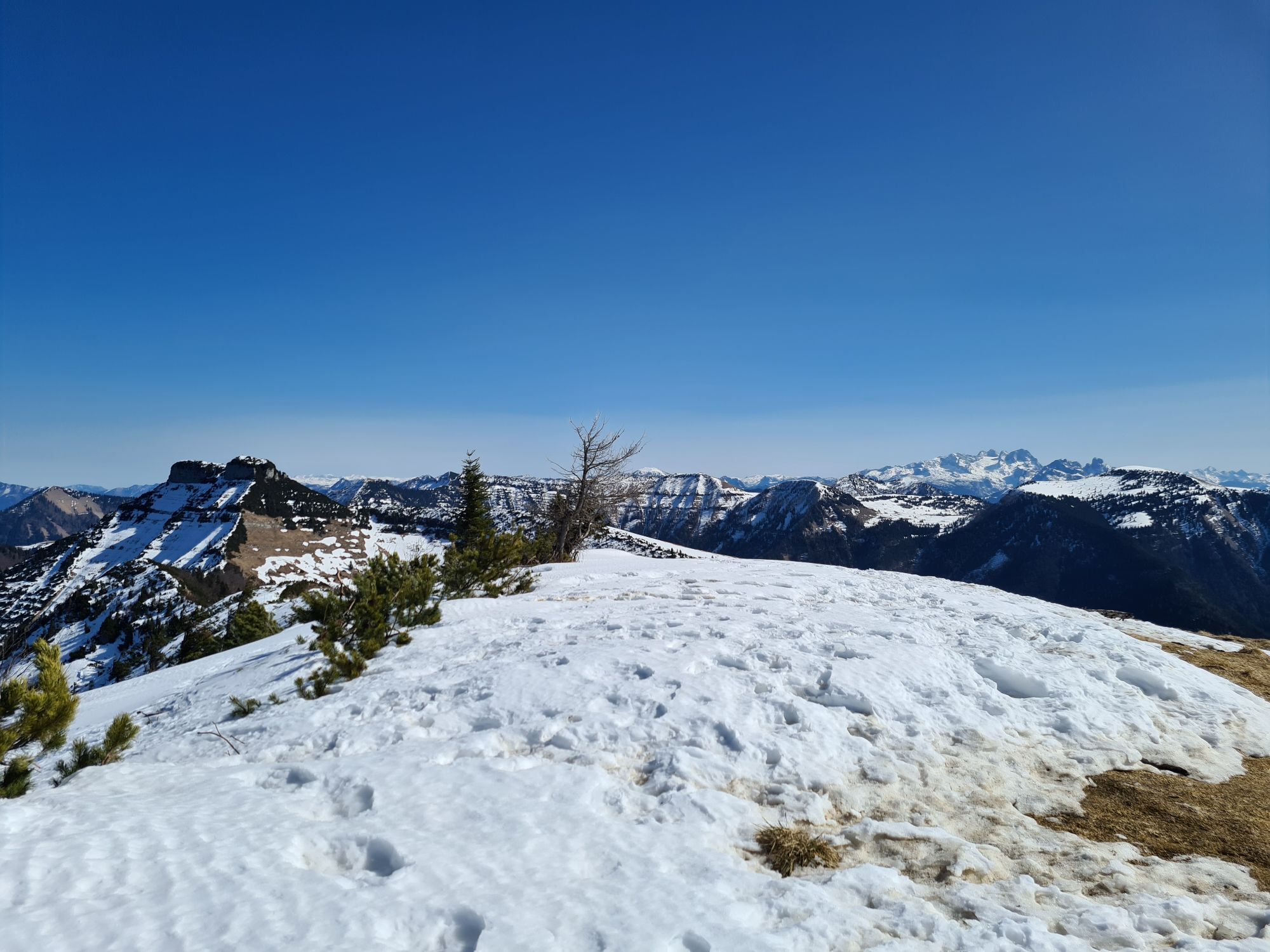
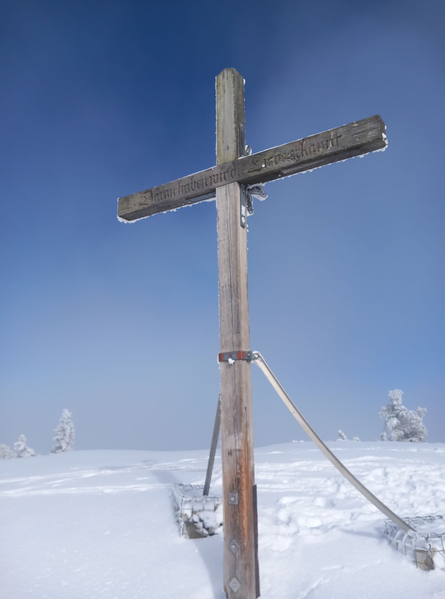
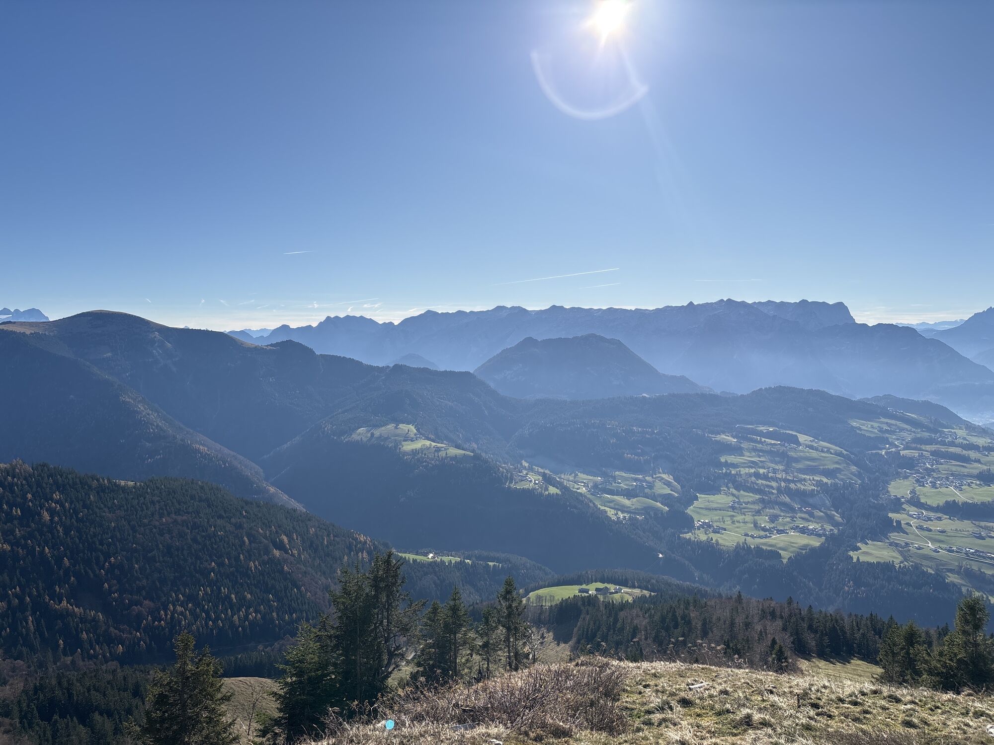
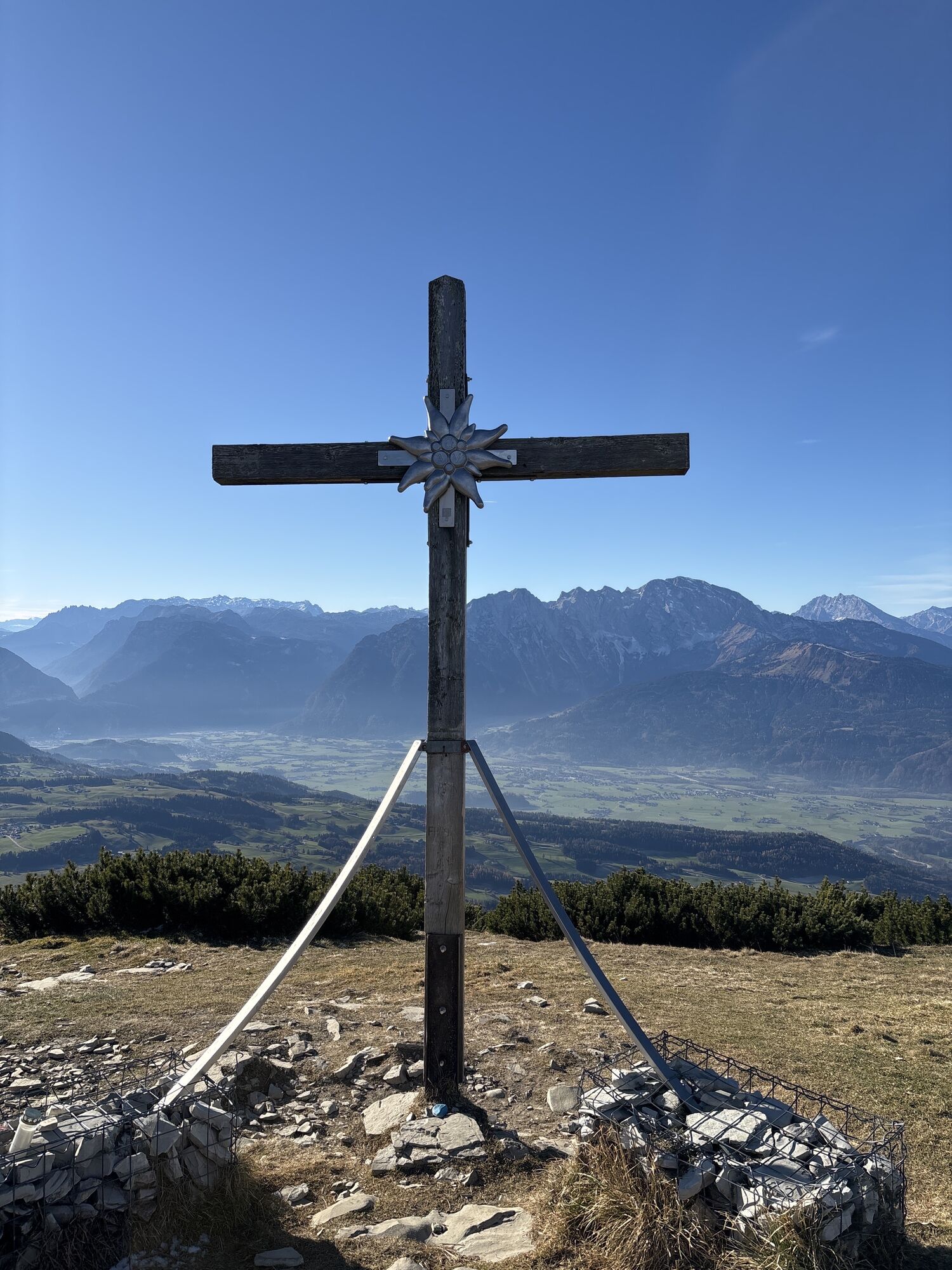
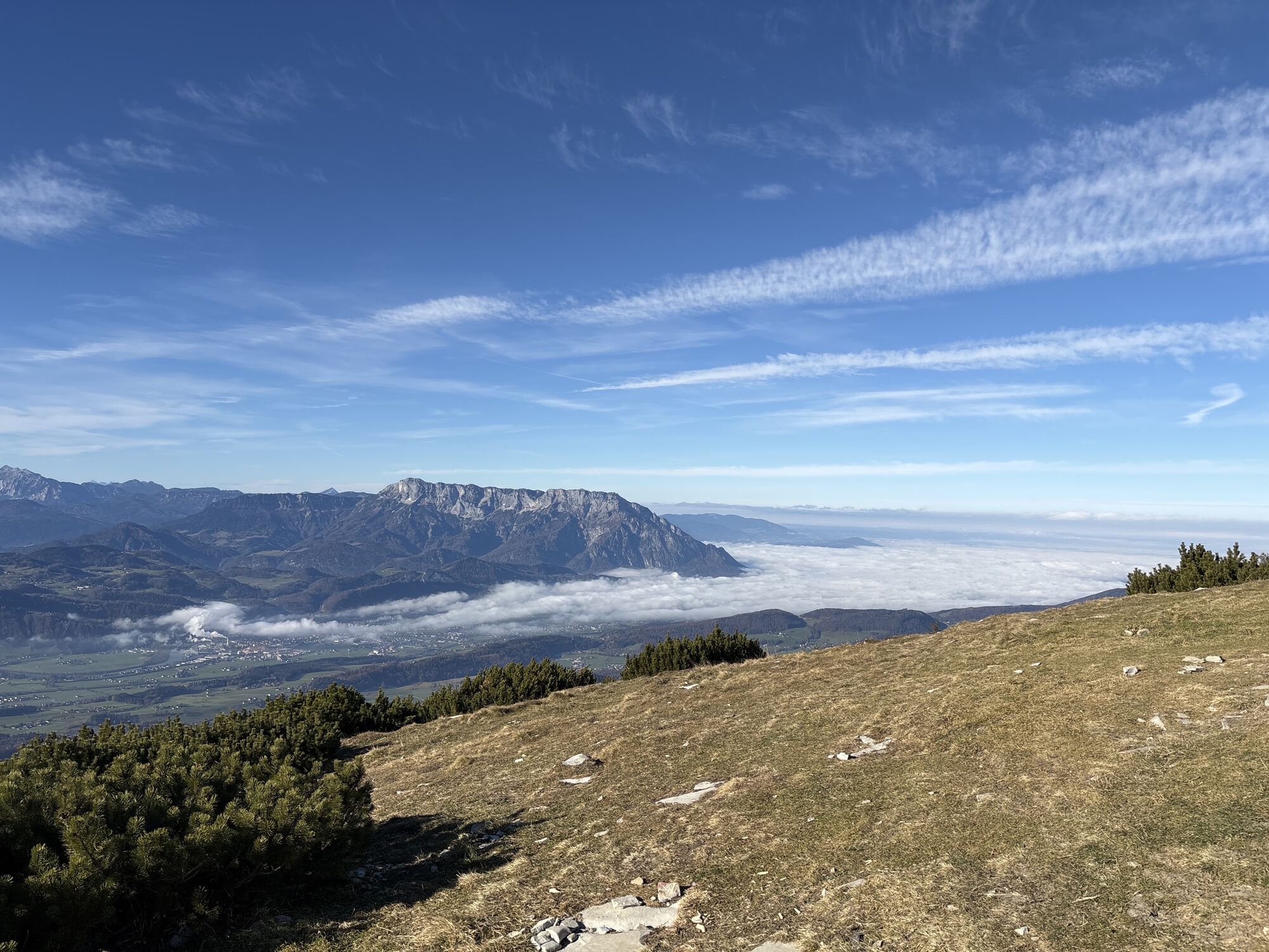
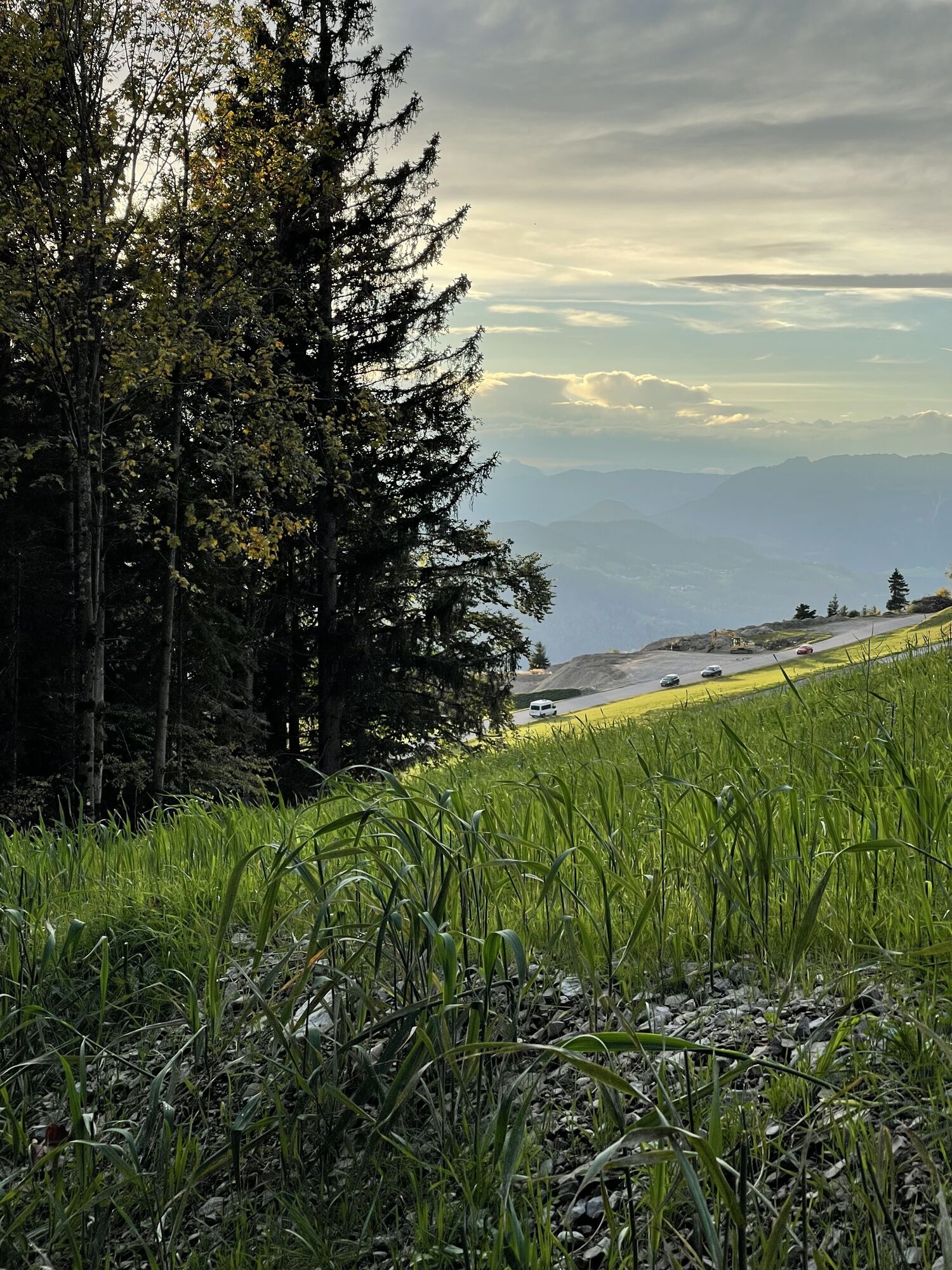


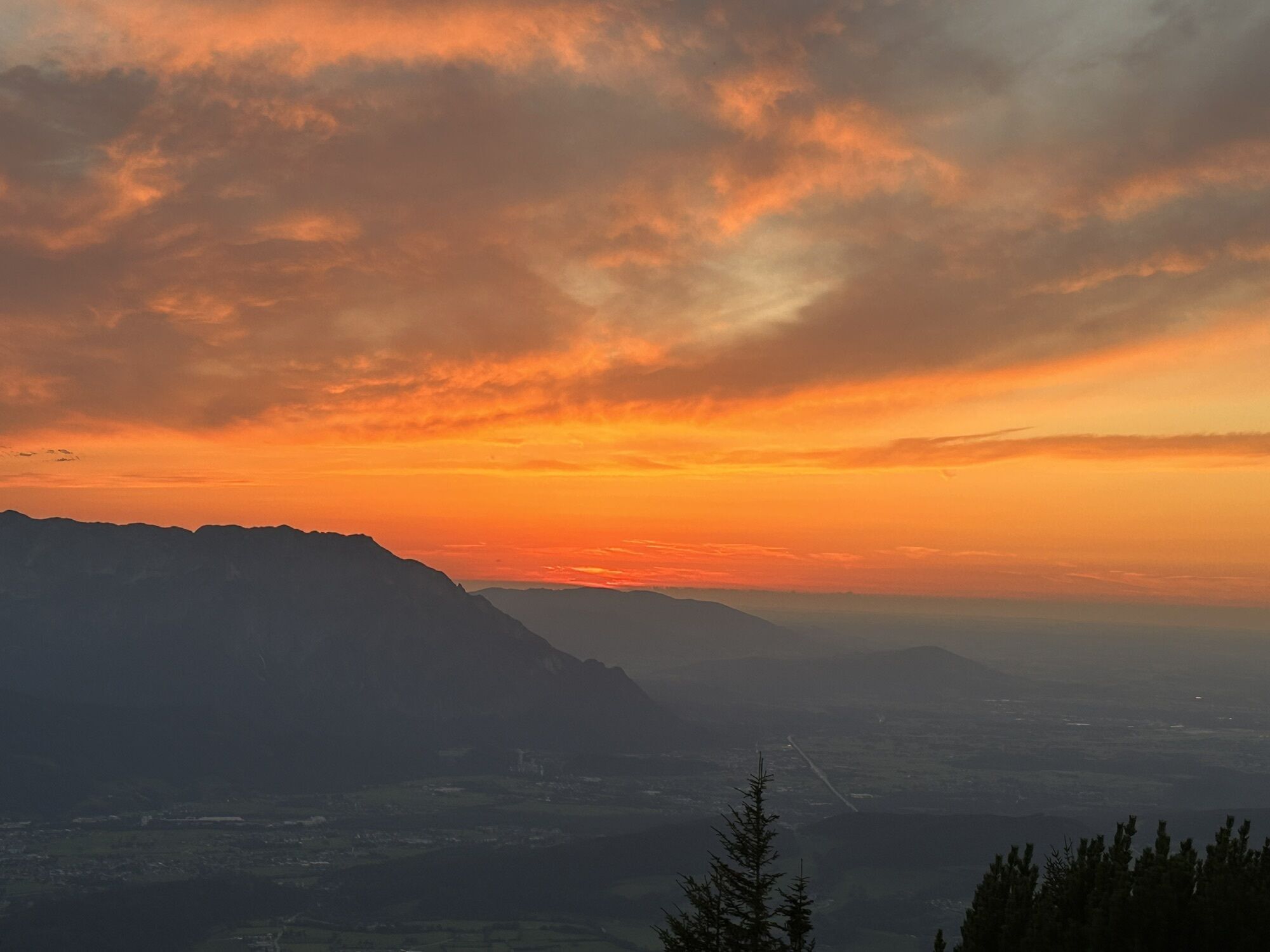
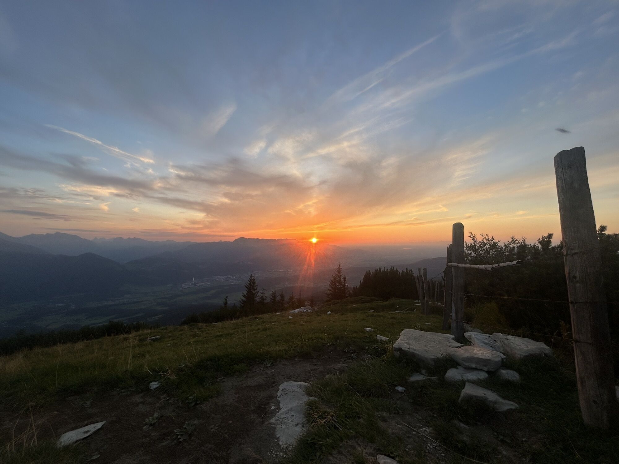
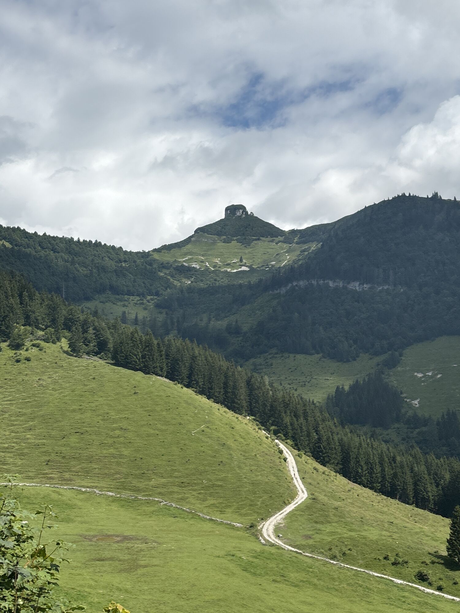
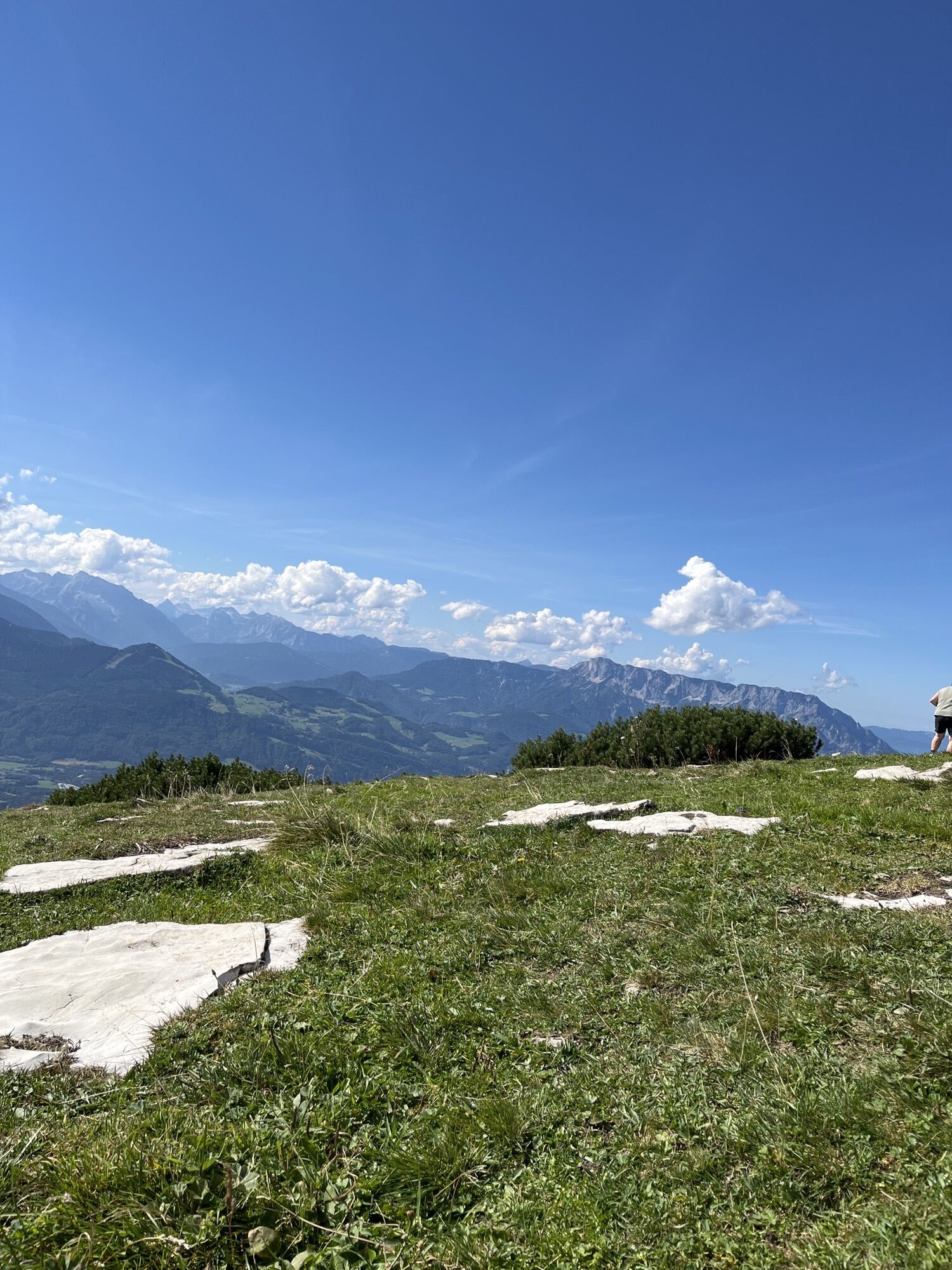
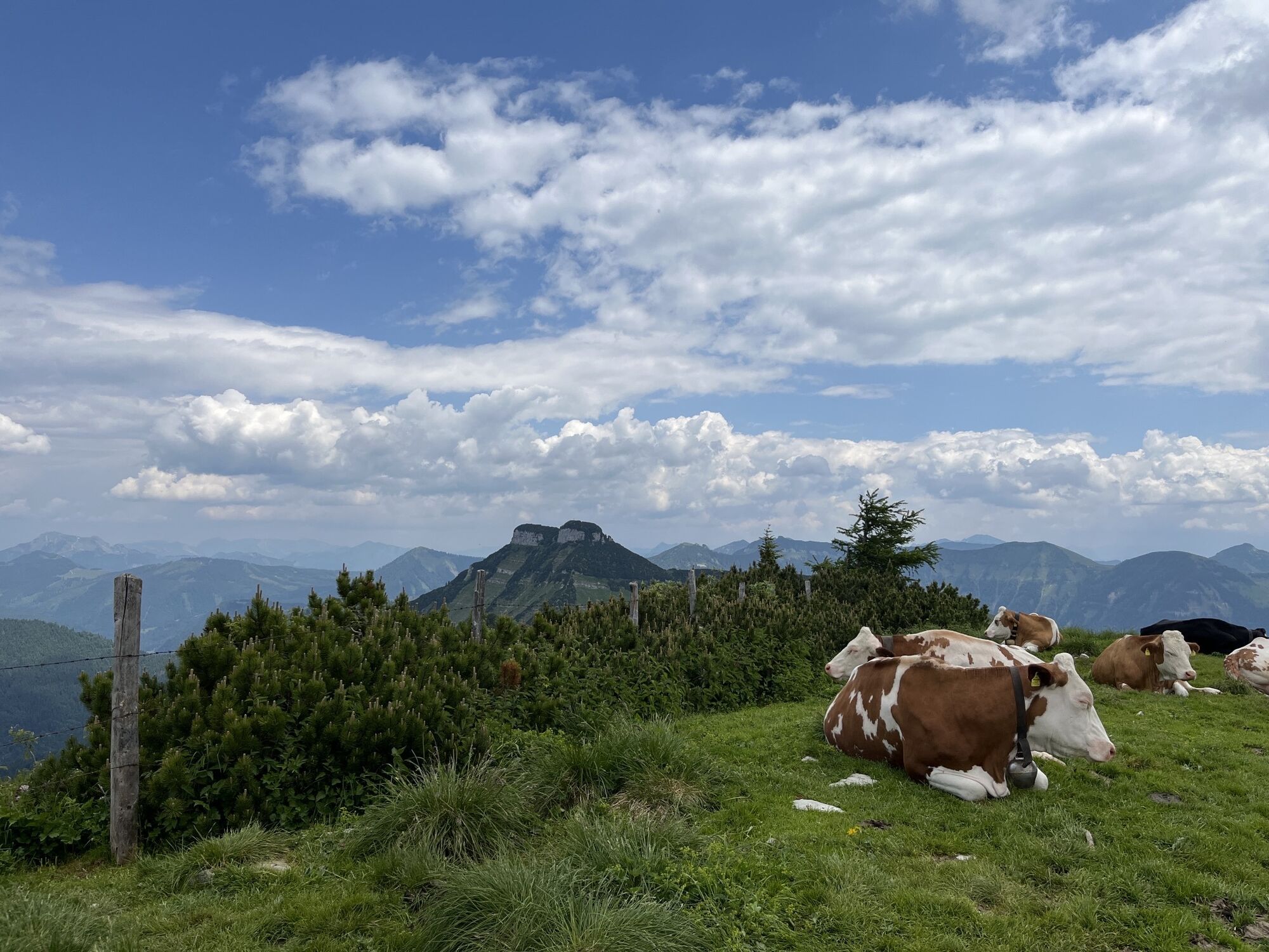
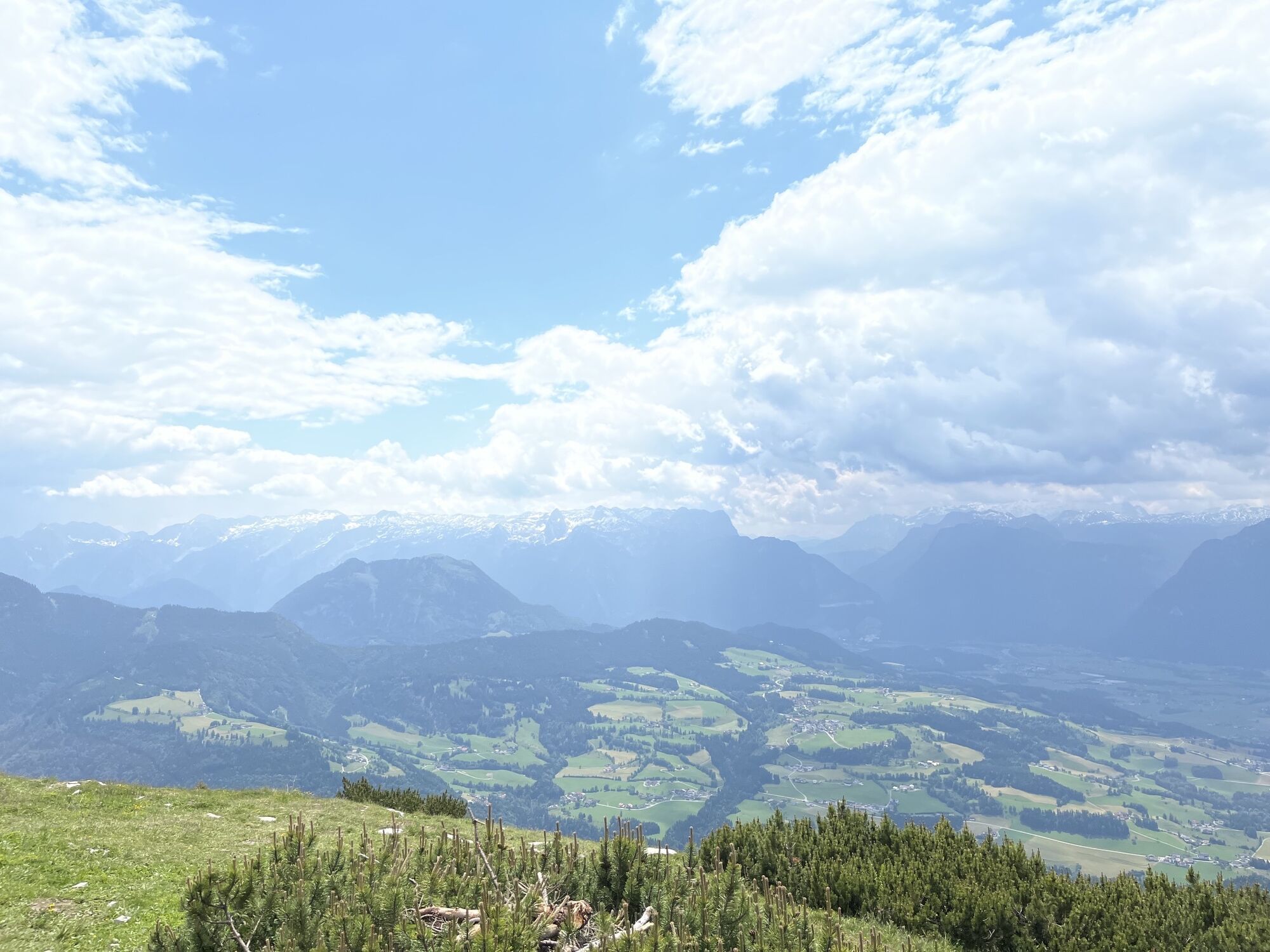
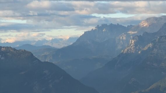
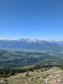
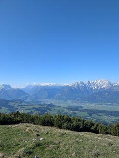
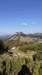
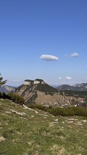
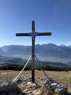
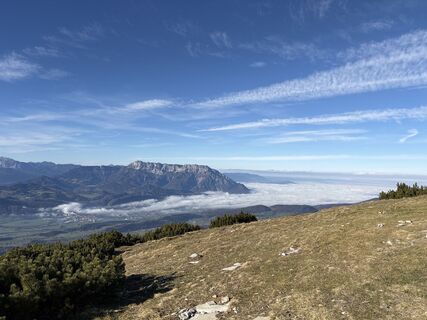
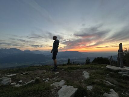
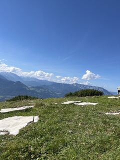
The Schlenken is very popular in summer as an alm and hiking area. In winter, ski tourers get their money's worth.

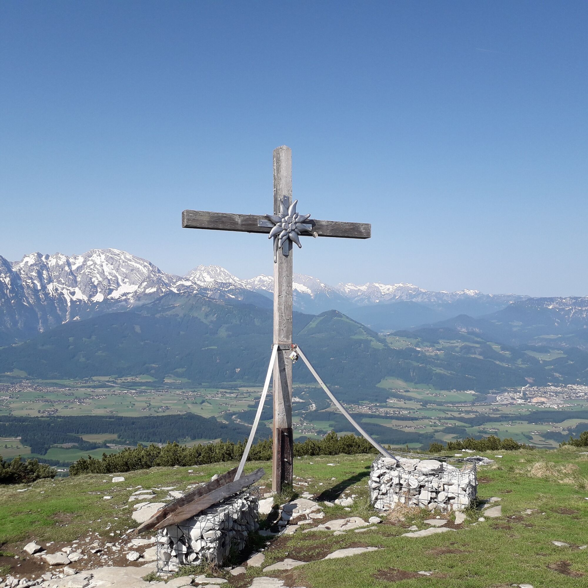
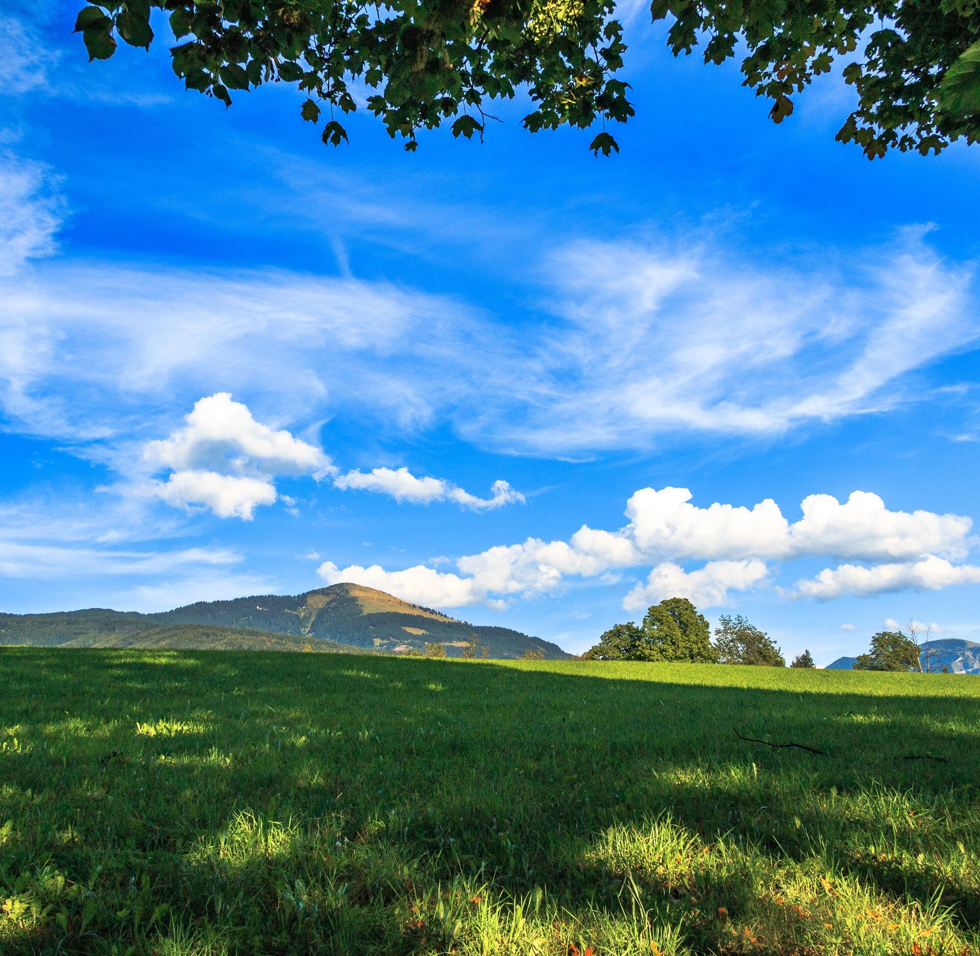
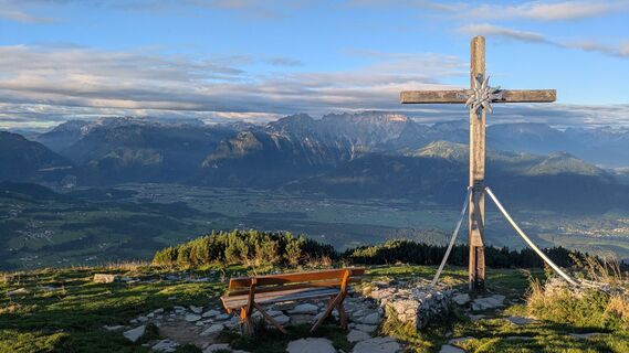
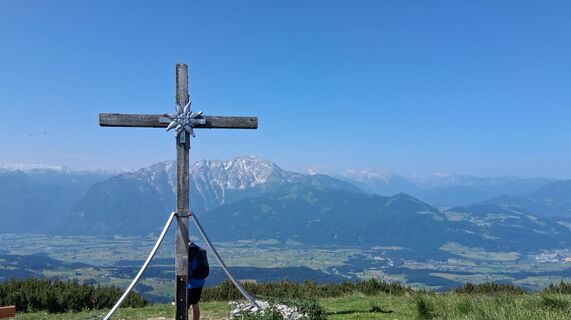
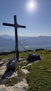
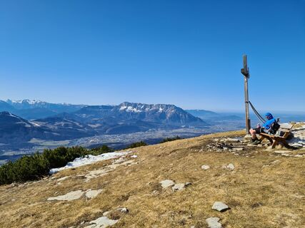
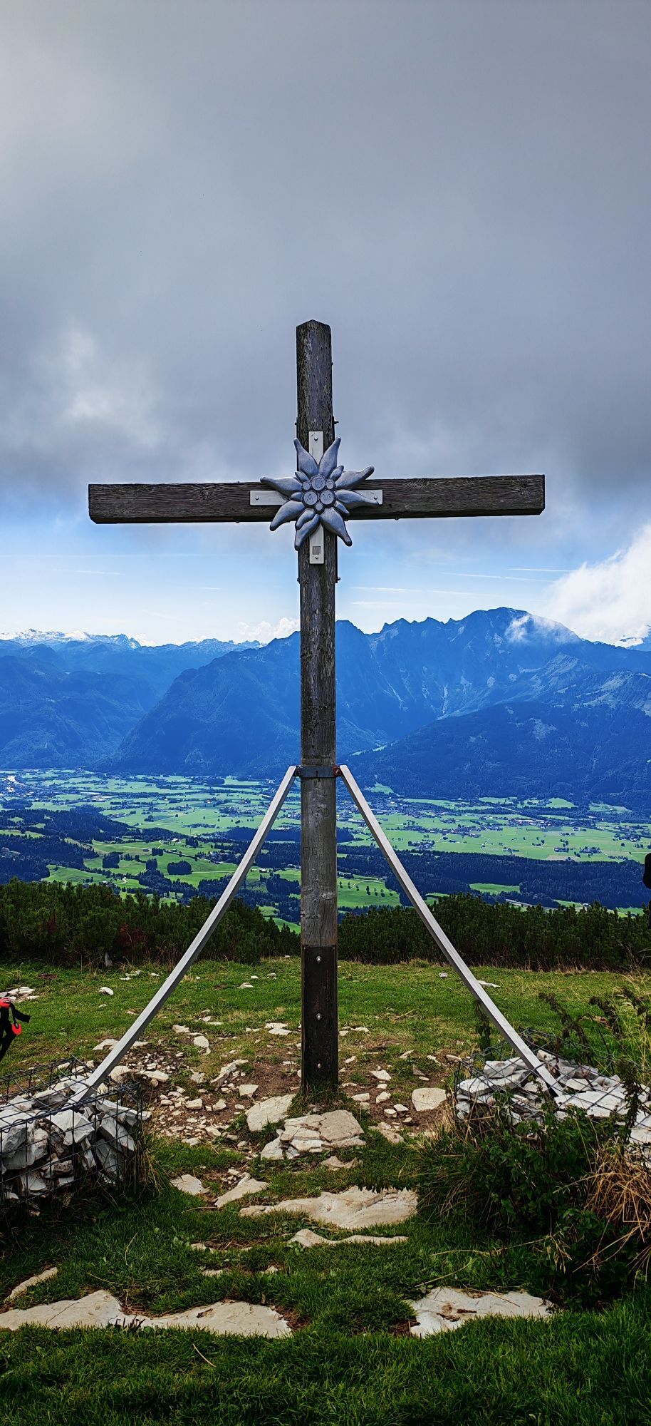
The starting point is the parking lane on the Innere Rengerbergstraße at the Wurzerweg junction. From there, follow the marked path into the Niglkar, continuing past the Gaißegghütte to the Schlenk summit (1648 m).
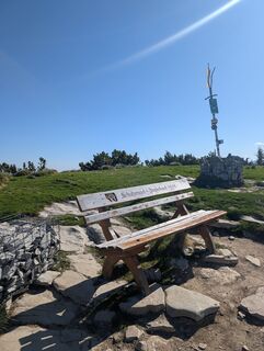
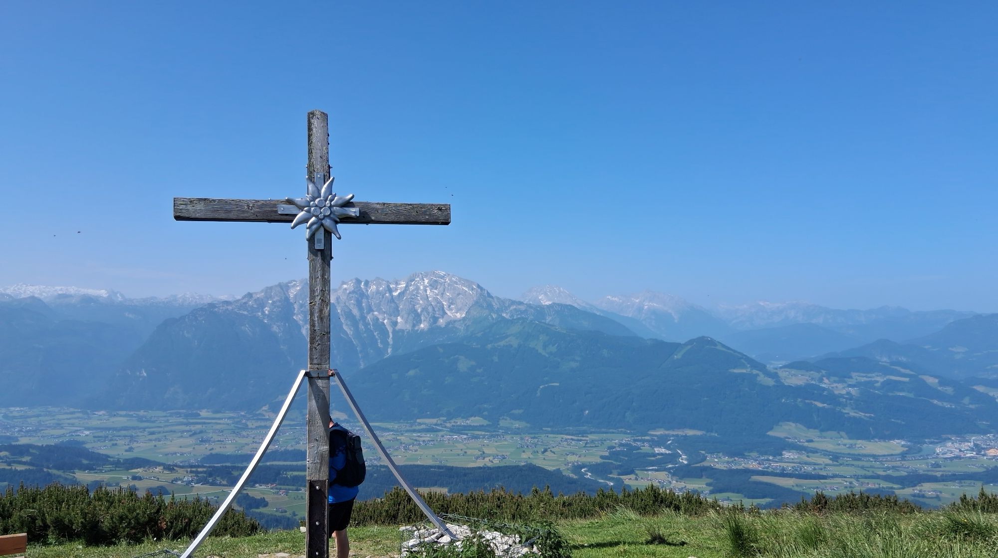
Tennengauer Hiking Pass: Stamp point at the Schlenk summit (10 points)
Ja
Good hiking clothing, sturdy footwear
B 159 coming from Hallein or Golling - towards Bad Vigaun, through the town center and along Langgasse, then turn left into Obere Langgasse. Continue via Rengerbergstraße and after the Broswirt at the fork turn right into Innere Rengerbergstraße. Continue to the parking lane before the junction with Wurzerweg.
Not accessible by public transport.
Public parking along the Innere Rengerbergstraße before the junction with the Wurzerweg
Tennengauer Hiking Pass: Stamp point at the Schlenk summit
You can find places to eat at the Zillalm, Trautenstattalm, and the Tenneralm.
Populære ture i området
-
4.2
Idyllic Hintersee Rund
lysVandring 5.10 km -
4.1
Illinger Alm-Runde
MediumVandring 9.89 km -
4.6
Zwölferhorn
MediumVandring 8.64 km -
4.7
Mühlenweg und Winnerfall Scheffau am Tennengebirge
MediumVandring 4.79 km -
4.2
Hike to the Kleiner Barmstein via the Thürndl ruin
MediumVandring 4.20 km -
3.7
Durch die Almbachklamm nach Ettenberg
Vandring 7.54 km -
4.1
TG18 Osterhorn-round
MediumMountainbike 57.0 km -
4.2
Breitenberg Wolfgangsee Sankt Gilgen, Österreich
lysVandring 12.4 km -
4.8
Schlenken and Schmittenstein hike
tungVandring 10.9 km -
4.7
Von St. Gilgen aufs Zwölferhorn
MediumVandring 10.4 km

Vandring og sporing


Gå ikke glip af tilbud og inspiration til din næste ferie
Din e-mailadresse er blevet tilføjet til mailinglisten.