


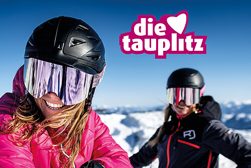


Billeder af vores brugere
From the village of Dienten in the direction of Lend, the Grünegg toboggan run starts after approx. 50 m on the right-hand side. Here we walk across the left side up the slope until we reach the toboggan...
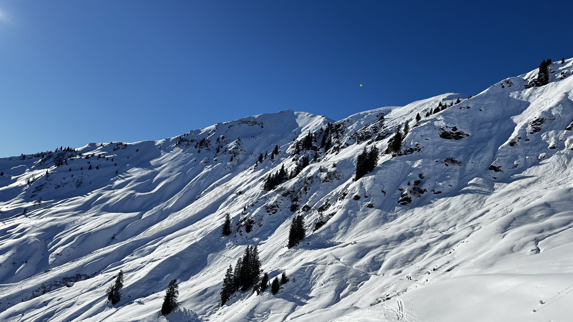
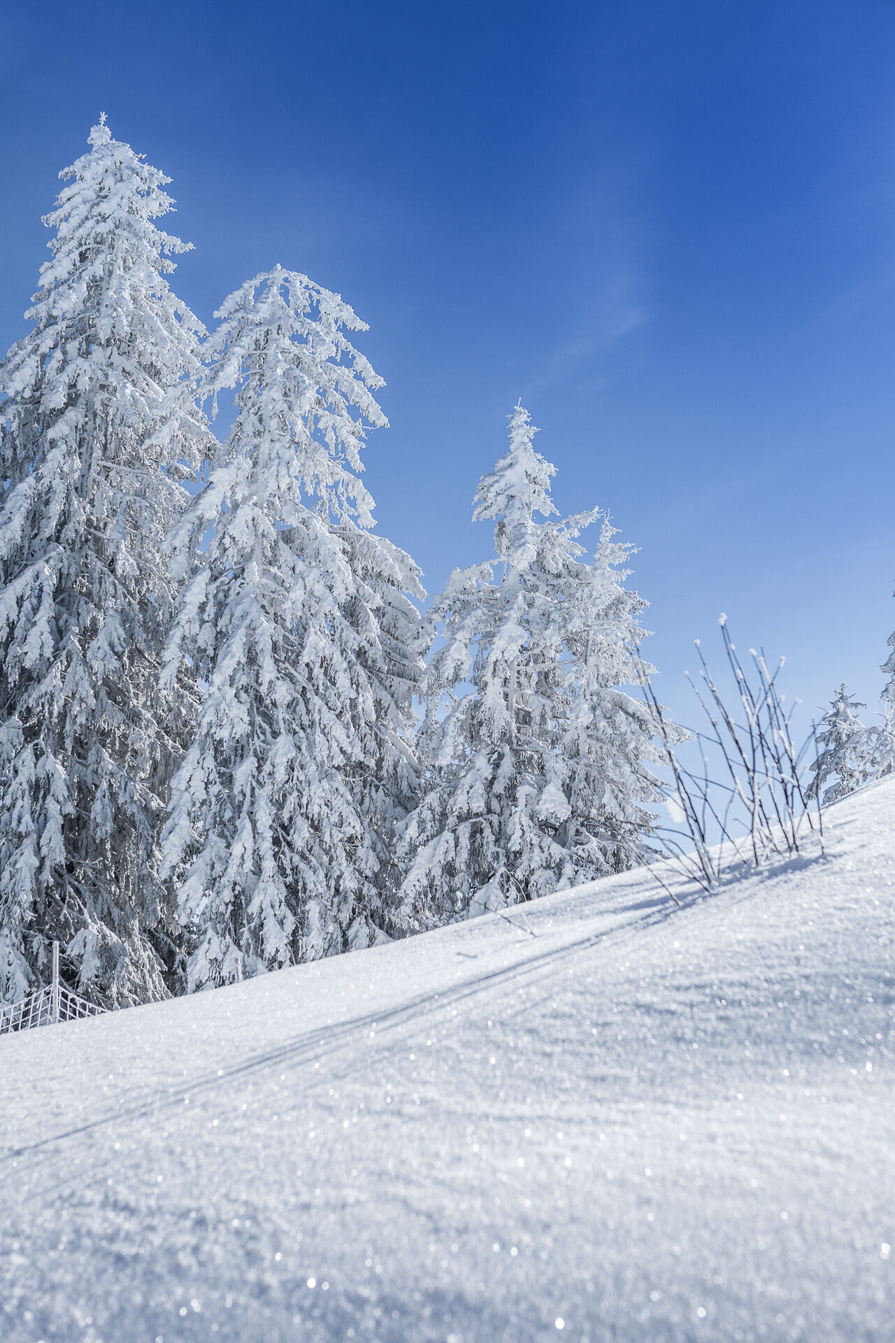
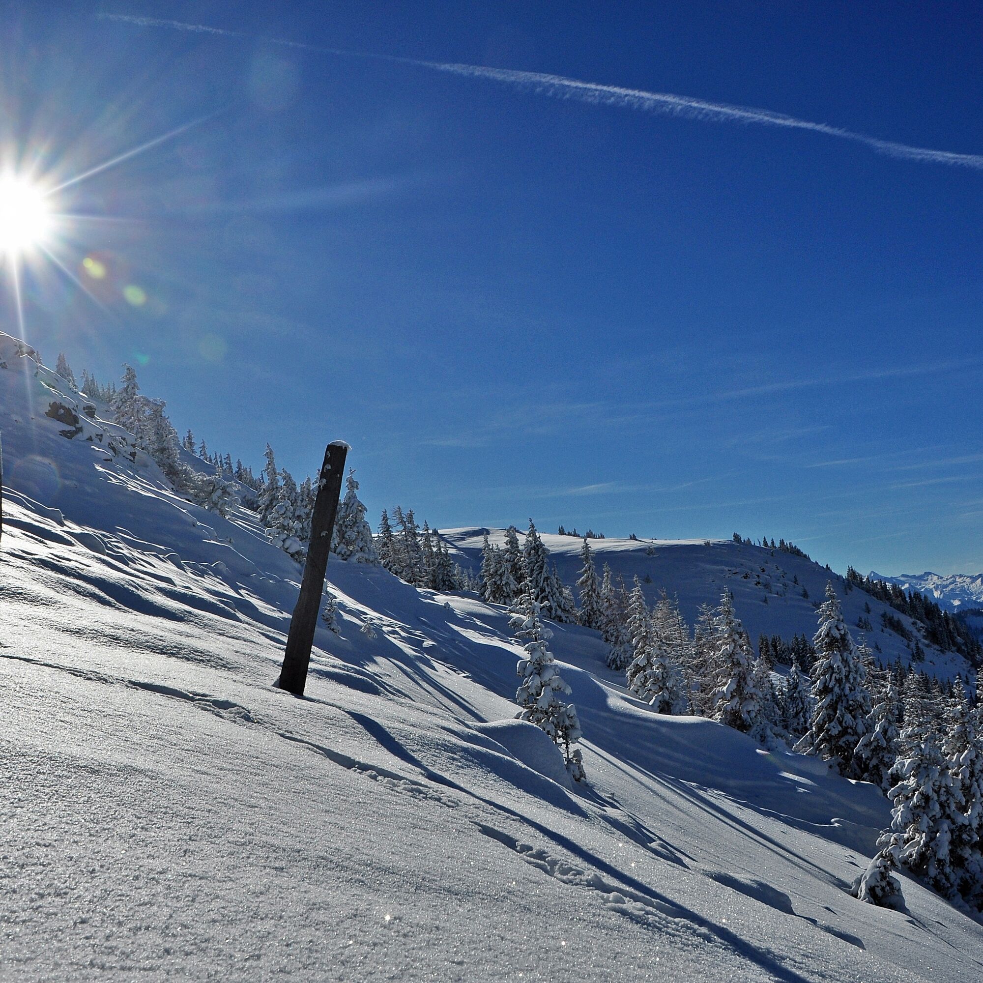
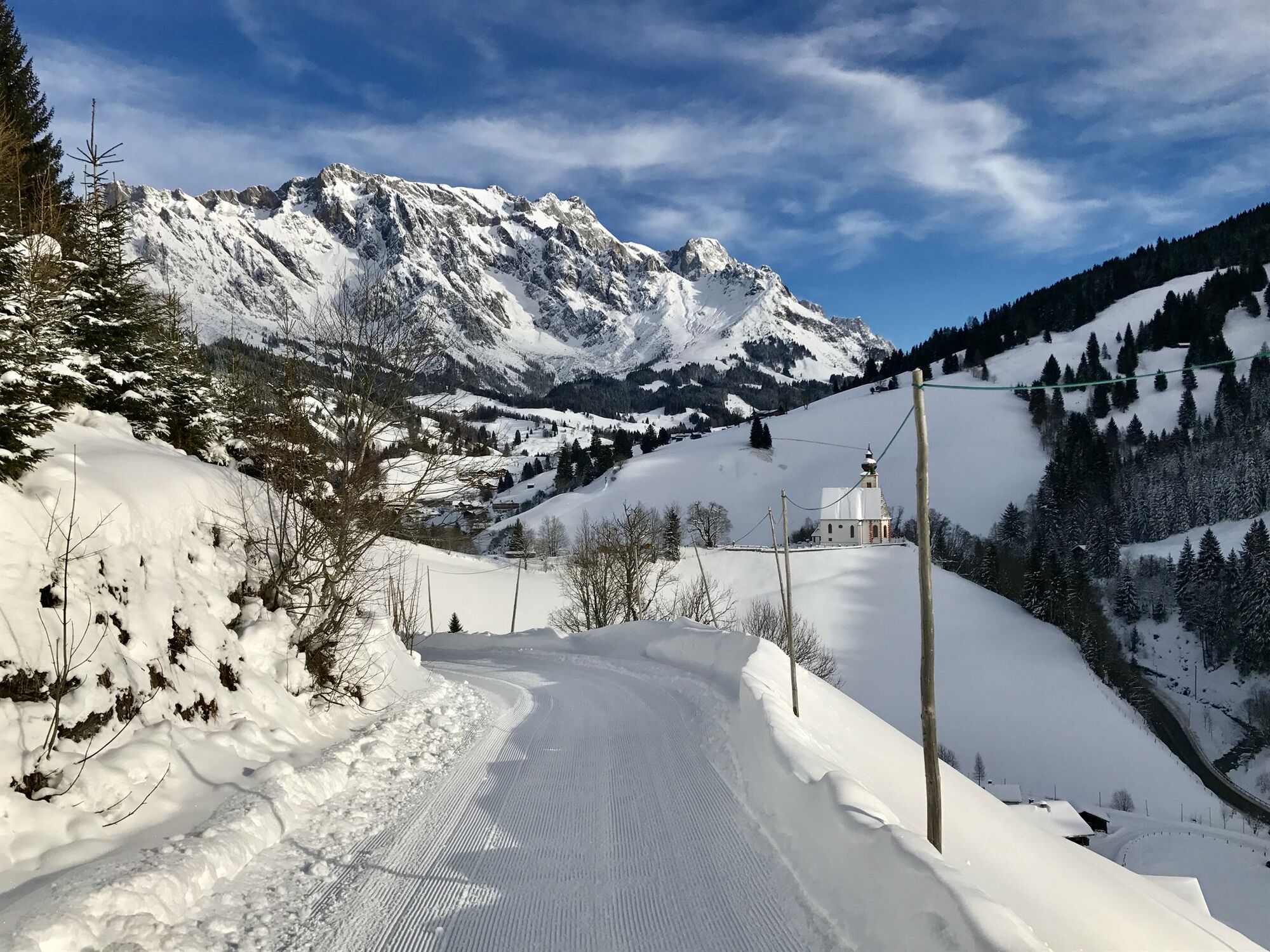
From the village of Dienten in the direction of Lend, the Grünegg toboggan run starts after approx. 50 m on the right-hand side. Here we walk across the left side up the slope until we reach the toboggan run again. Follow the path until you reach the Grünegg Alm snack station. From there we continue to the left on a trail that is signposted in summer in the direction of Klingspitz or Reicheralm. This trail is also a mountain bike trail in summer. Follow the path through the forest until you reach the Reicheralm. The hut is not managed in winter and is therefore a perfect place to rest. From here we turn right towards the Lettenalm. On this trail we have a breathtaking view of the Hochkönig massif. We pass the Lettenalm and from there we now head downhill towards the Grünegg Alm. When we arrive at the Grünegg Alm, the cosy inn invites you to take a short break.


From the village of Dienten in the direction of Lend, the Grünegg toboggan run starts after approx. 50 m on the right-hand side. Here we walk across the left side up the slope until we reach the toboggan run again. Follow the path until you reach the Grünegg Alm snack station. From there we continue to the left on a trail that is signposted in summer in the direction of Klingspitz or Reicheralm. This trail is also a mountain bike trail in summer. Follow the path through the forest until you reach the Reicheralm. The hut is not managed in winter and is therefore a perfect place to rest. From here we turn right towards the Lettenalm. On this trail we have a breathtaking view of the Hochkönig massif. We pass the Lettenalm and from there we now head downhill towards the Grünegg Alm. When we arrive at the Grünegg Alm, the cosy inn invites you to take a short break.
Ja
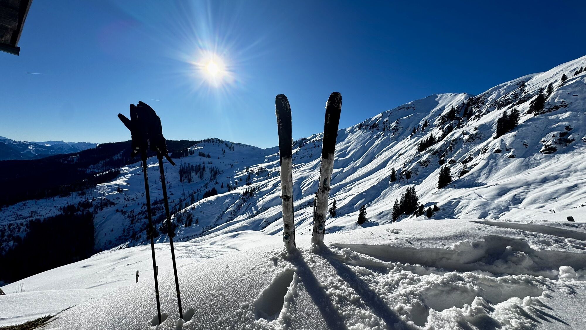
Ski touring equipment
Crampons
Backpack with hot drink and light snack
Necessary medication
First aid kit
Healthy in the mountains Ski and snowshoe tours are endurance sports. The valuable stress stimuli for heart and circulation require health and good self-assessment. Avoid time pressure and choose the pace so that no one in your group gets out of breath. Make sure you have energy reserves for the descent.
Careful planning Maps, guide books, internet and experts provide information on length, altitude difference, difficulty and current conditions.
Pay particular attention to the weather forecast, as strong winds and poor visibility greatly increase the risk of accidents.
Study the avalanche situation report Before setting out on the tour, inform yourself in detail about the current danger level (European danger scale for avalanches in 5 levels). Pay particular attention to the information on danger points (Where is it dangerous today?) and sources of danger (What is the main danger today?).
Complete equipment Adapt your equipment to the winter conditions and make sure your backpack is light. For avalanche emergencies, an avalanche transceiver, shovel and probe are standard, as are a first aid kit, bivouac sack and mobile phone. An airbag system increases the chances of survival.
Regular hydration breaks Fluids, energy and breaks are necessary to maintain performance and concentration. Hot, isotonic drinks are ideal thirst quenchers and warmers. Easy-to-digest foods such as muesli bars, dried fruit and biscuits satisfy small hunger pangs on the way.
Weigh up the avalanche risk When it comes to recognising the avalanche danger, humans have narrow limits. Therefore, base your decisions on strategic methods of risk assessment (reduction methods) and learn to recognise danger signs in the terrain.
Maintain distances Relief distances of 10 m when ascending steep slopes (≥ 30°) reduce the load on the snowpack and increase comfort when making hairpin turns. Always keep distances of at least 30 m when skiing downhill and ski very steep slopes (≥ 35 °) individually.
Avoid falls Falls on the descent are the most frequent cause of accidents on ski tours. They also place a great deal of additional stress on the snowpack. Good skiing technique and a speed adapted to your ability reduce the risk. A ski helmet can protect against head injuries.
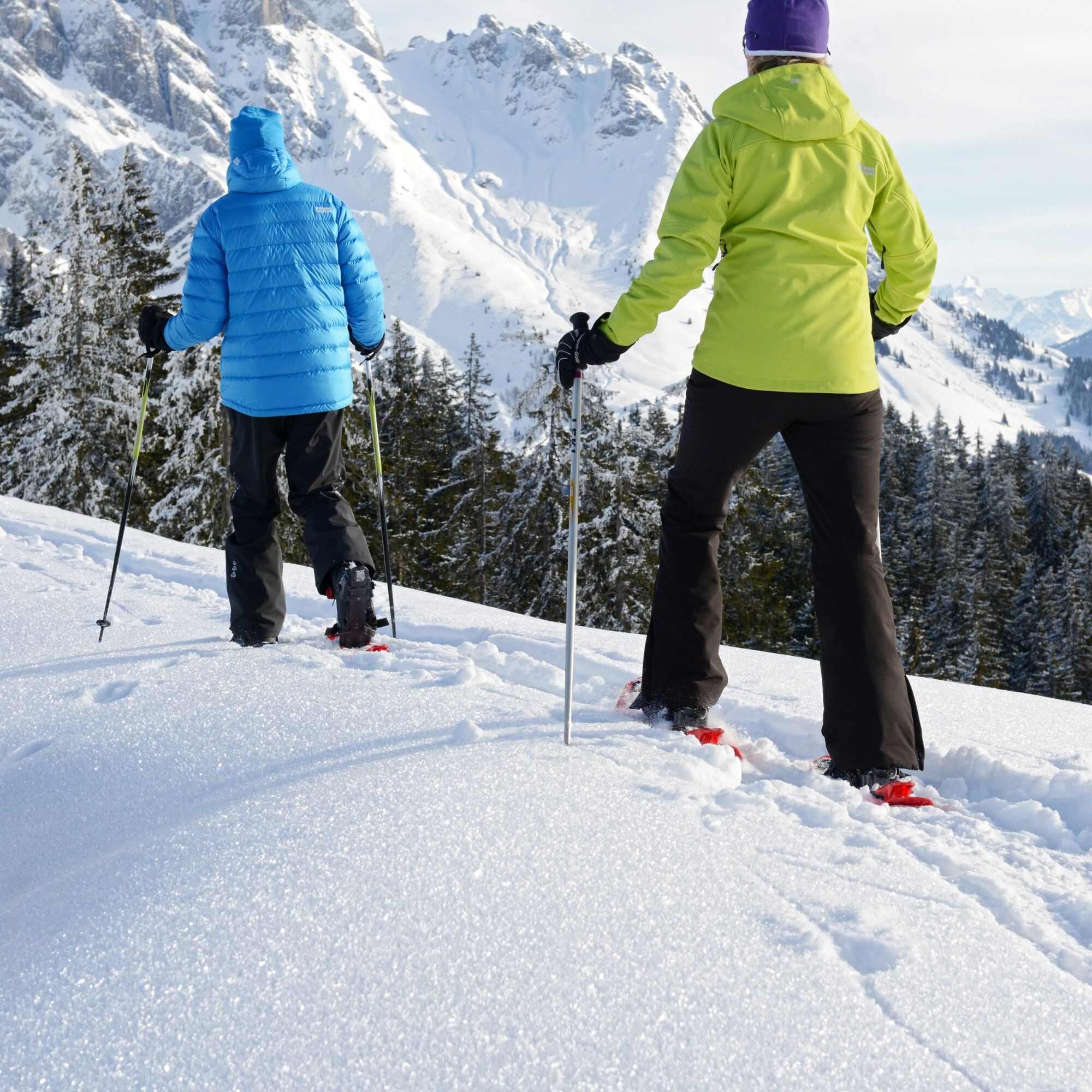
Small groups Small groups enable mutual help and reduce the risk of triggering an avalanche. Stay together in the group. Attention lone skiers: Even small incidents can lead to serious emergencies. Therefore always inform familiar people about destination, route and return.
Respect for nature To protect nature: Do not leave waste behind, avoid noise, do not enter reforested areas, respect protected and restricted areas. Show special consideration for wild animals in winter! To get there, carpool or use public transport.
Emergency numbers: Alpine emergency call: 140, International emergency call: 112
Coming from Salzburg: Take the A10 freeway to the Bischofshofen exit, then take the B311 in the direction of Bischofshofen. Follow the Hochkönig Bundesstraße/B164 to Mühlbach and further to Dienten.
Coming from Innsbruck/ Kufstein: On the Loferer Straße/B178 in the direction of St. Johann i.T., then on the Hochkönig Bundesstraße/B164 via Saalfelden and Maria Alm to Dienten or to the Filzensattel.
A valid vignette is required to use the Austrian motorway and motorway network. It is also compulsory to carry a first-aid kit, warning triangle and high-visibility waistcoat. Further information can be found under Asfinag.
ÖBB-Scotty: Timetable information
Bus line 620: Timetable information
Bus line 631: Timetable information
Ski bus: Timetable information
Free parking at the Dienten Ski Centre and at the Grünegg Alm car park
An overview map is available at the tourist office.
www.hochkoenig.at
region@hochkoenig.at
+43 (0)6584 20388
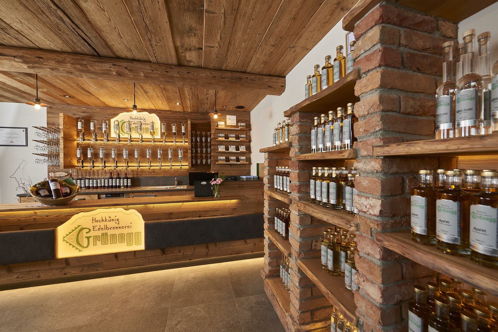
At the Grünegg Alm you can get a good schnapps
Populære ture i området
-
4.8
Summit storming route Taghaube
tungVandring 6.25 km -
4.9
Hochkönig - Gipfel der Gefühle - Matrashaus
tungVandring 20.9 km -
3.8
Hochkönig summit route - main ascent
tungVandring 18.1 km -
4.7
Panorama hike to the Hochkeil
MediumVandring 6.07 km -
4.8
Summit stormer route Lauskopf
tungVandring 8.16 km -
4.7
About the "Four Huts circular route" to Windraucheggalm
MediumVandring 10.1 km -
4.4
Riemannhaus
tungVandring 3.69 km -
3.9
Mühlbacher Höhenweg
MediumVandring 11.2 km -
4.3
Peter-Wiechenthaler Hut
MediumVandring 4.32 km -
3.0
Alpine hike to Erichhütte
lysVandring 4.02 km
Vandring og sporing


Gå ikke glip af tilbud og inspiration til din næste ferie
Din e-mailadresse er blevet tilføjet til mailinglisten.