


Sværhedsgrad: 4


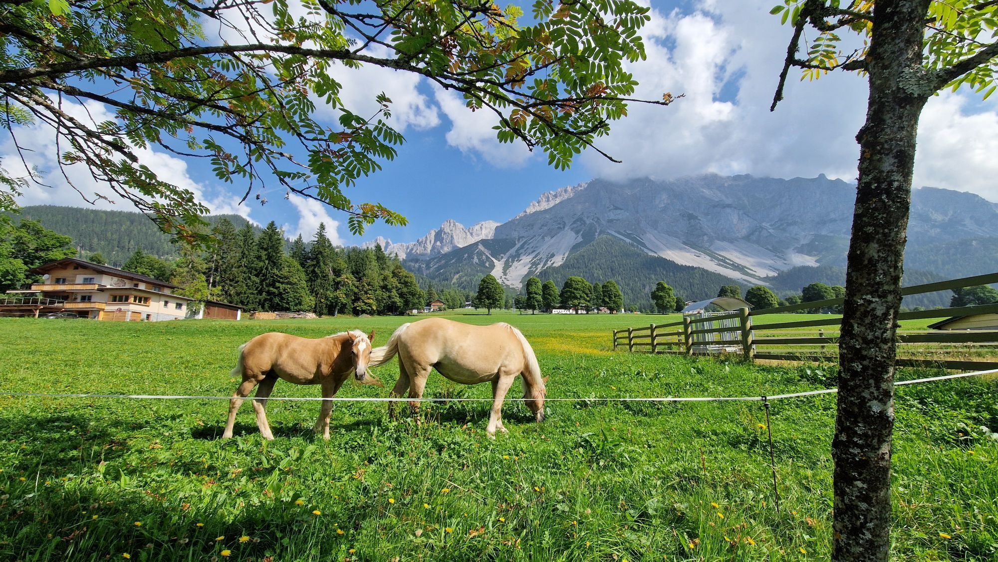
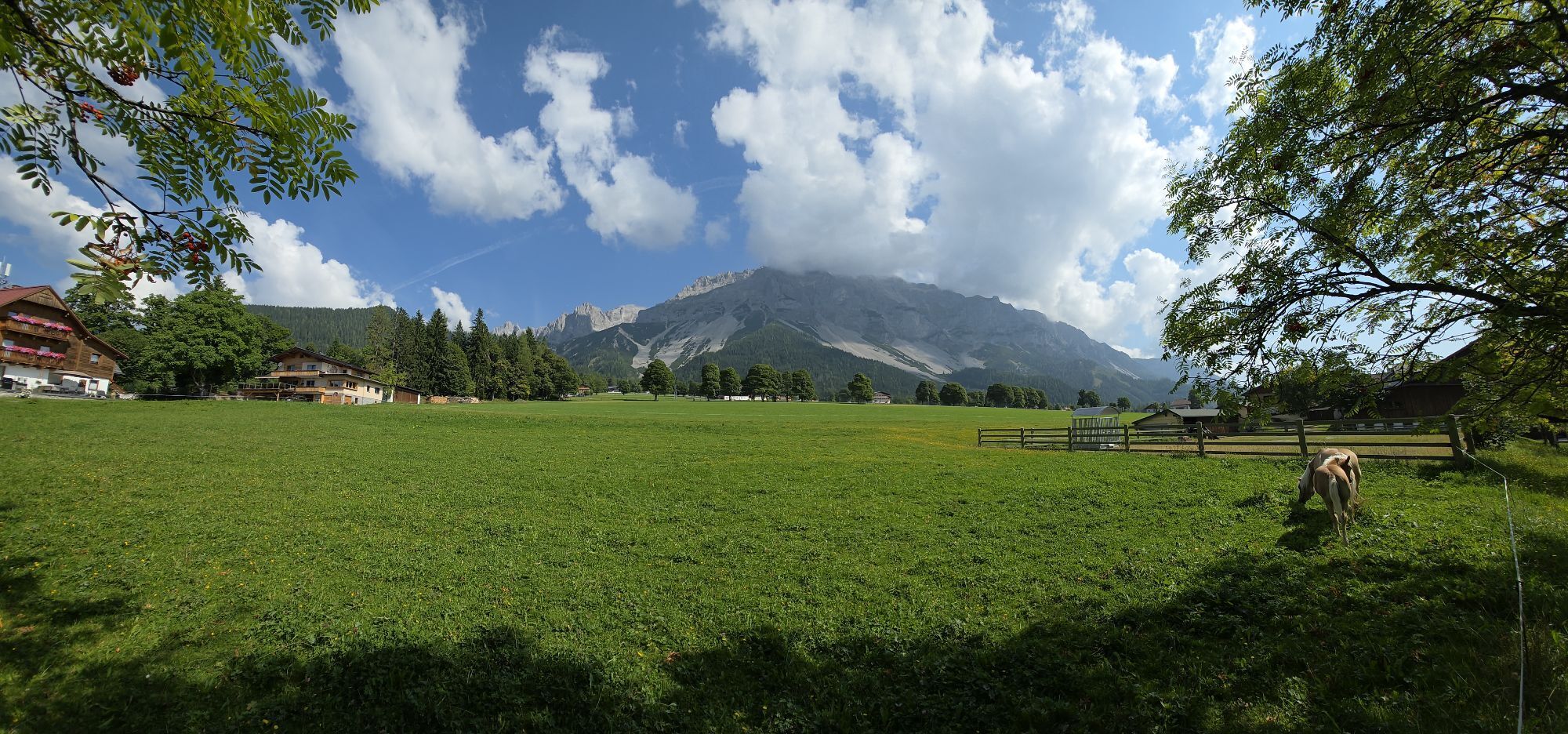
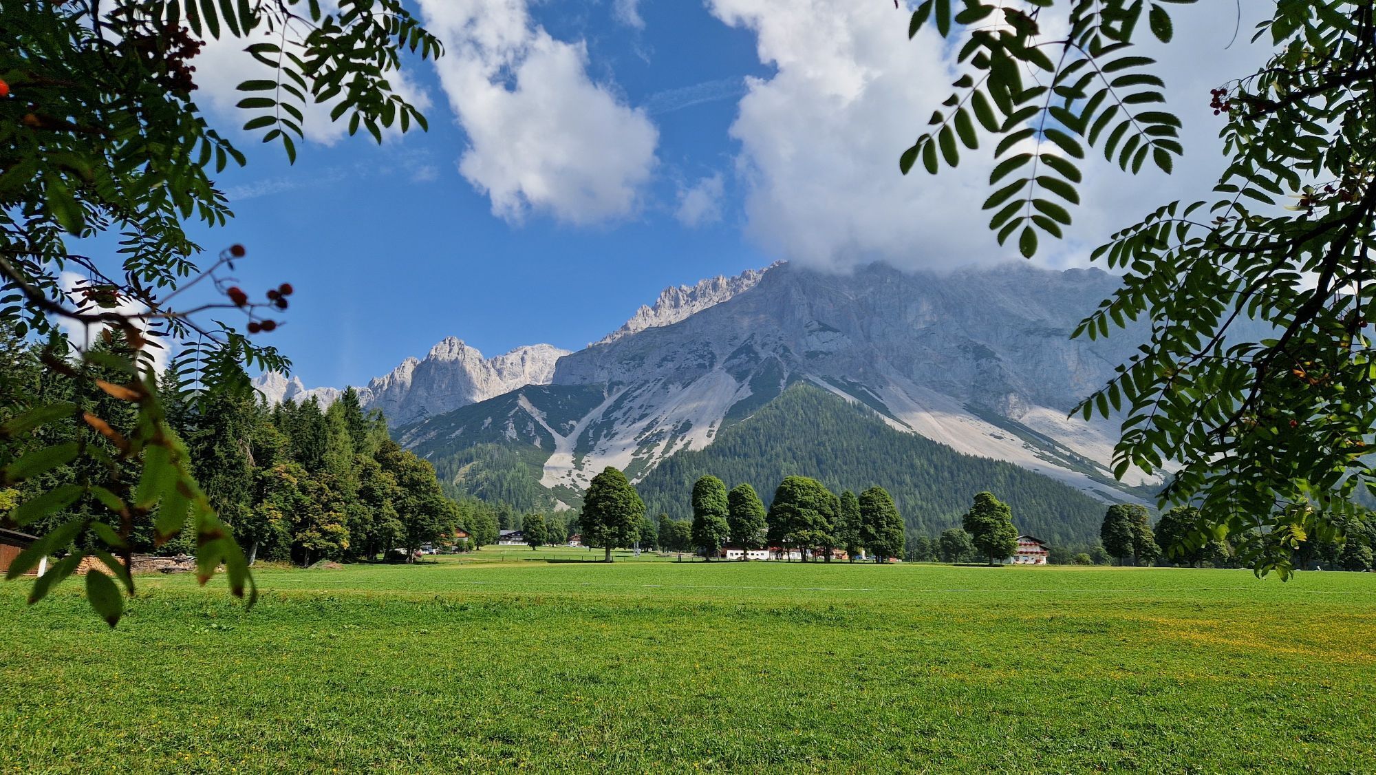
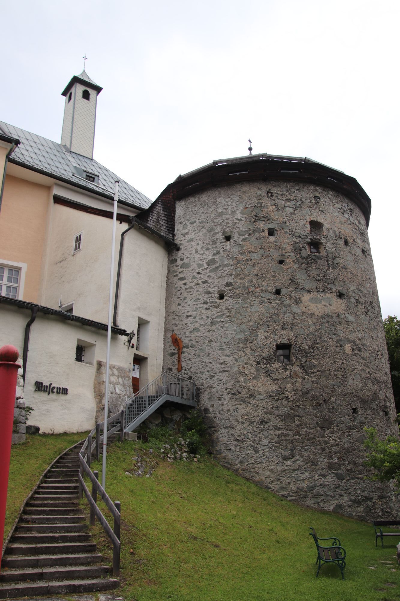
Billeder af vores brugere
-
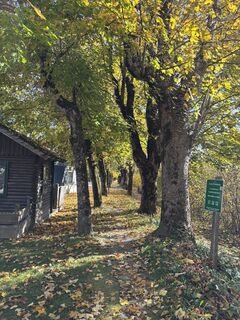
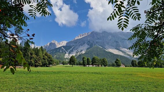
 © Karin WalterOprettet den 14.10.2025
 -
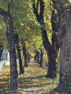
 © Karin WalterOprettet den 14.10.2025
 -
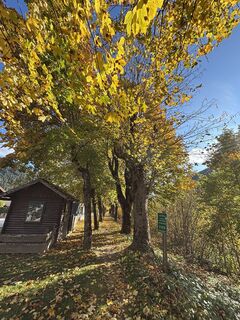
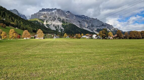
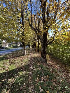
 © J ROprettet den 11.10.2025
 -
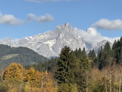
 © J ROprettet den 11.10.2025
 -
 © J ROprettet den 11.10.2025
 -
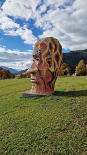
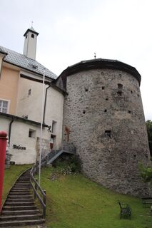
 © Franz hofnerOprettet den 11.10.2025
 -
 © TimarovaandreaOprettet den 12.08.2025
 -
 © Peter MandlOprettet den 11.08.2025
 -
 © Fritz SchernthanerOprettet den 24.06.2025
 -
 © Fritz SchernthanerOprettet den 24.06.2025
 -
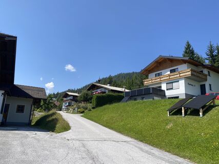
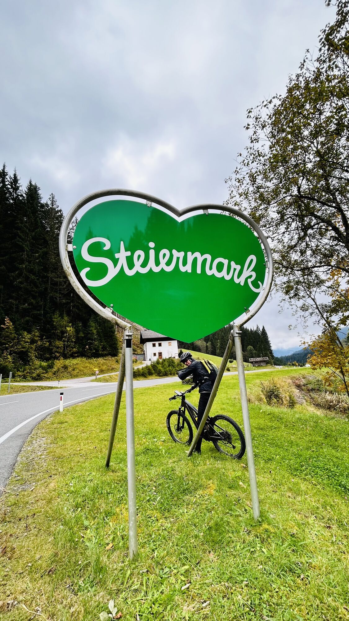
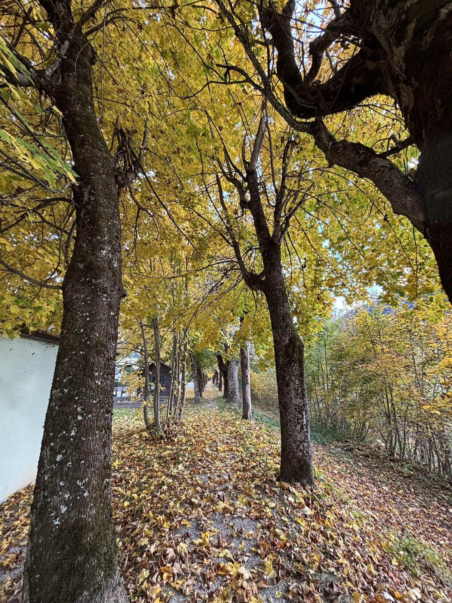
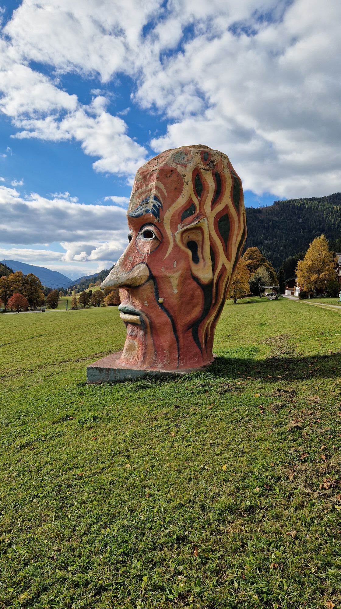
 © Markus VoglOprettet den 18.10.2025
 -
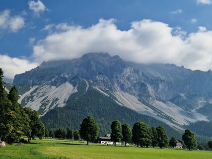
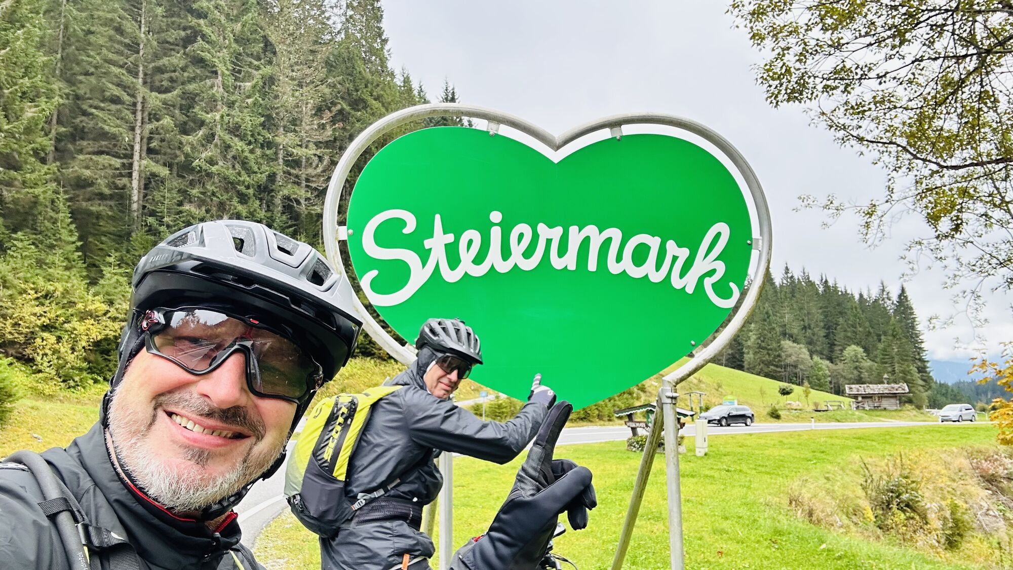
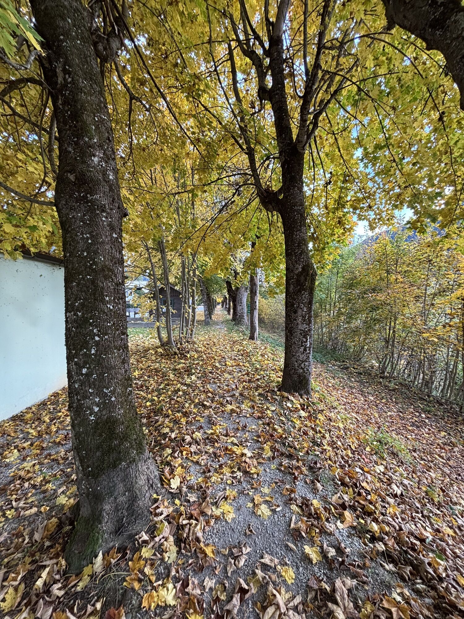
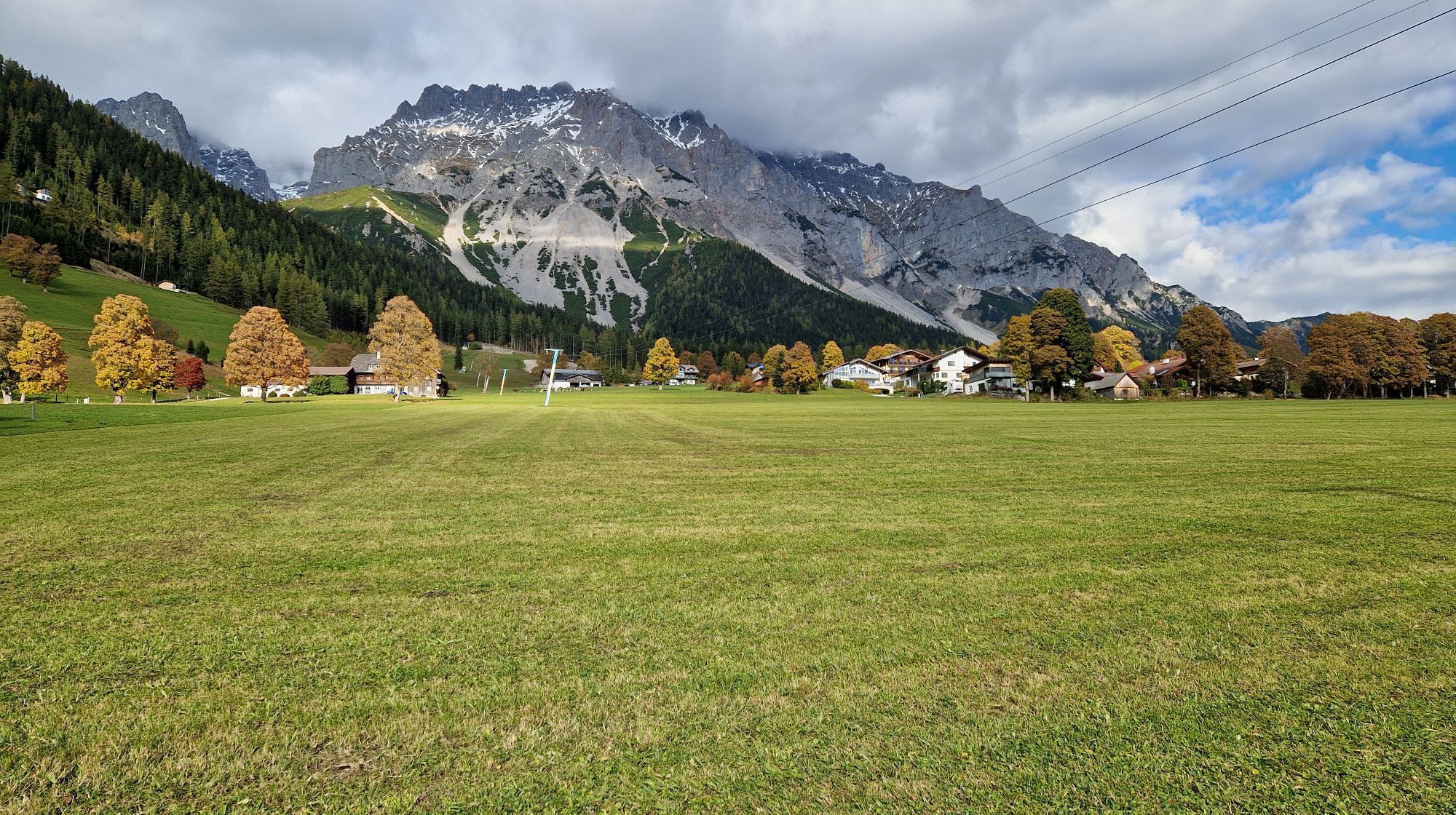
 © Markus VoglOprettet den 18.10.2025
 -
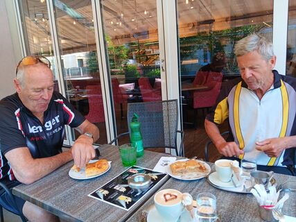
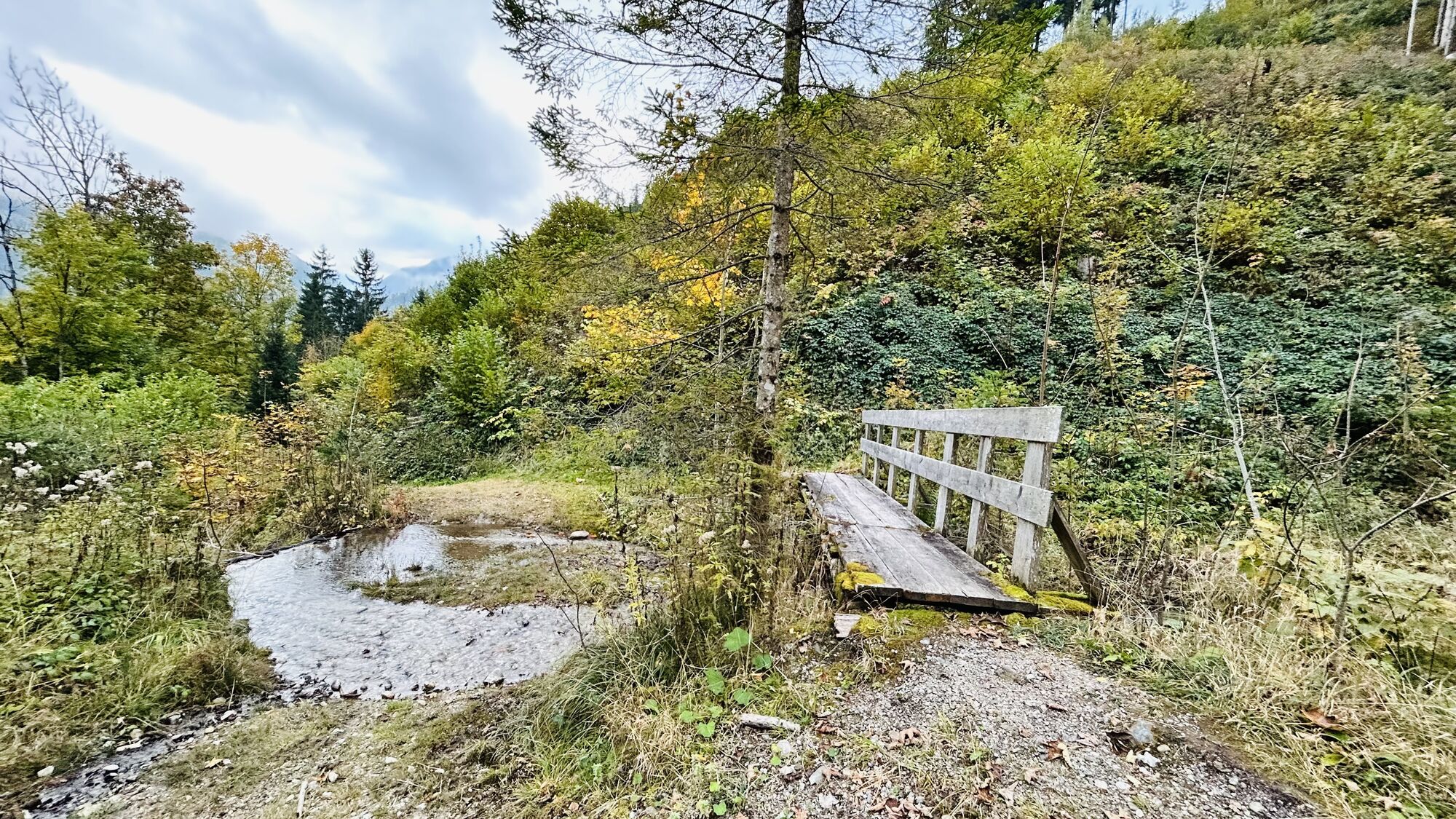
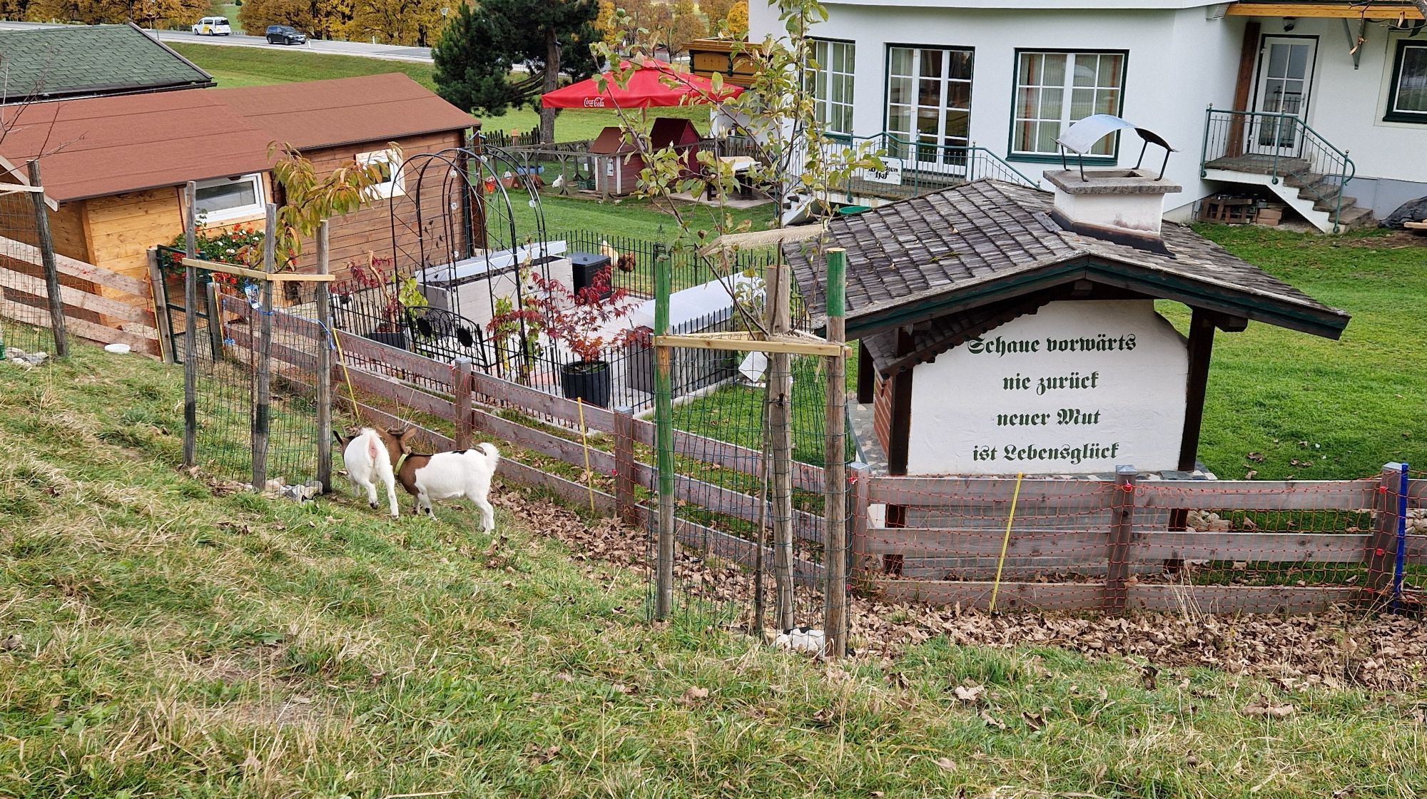
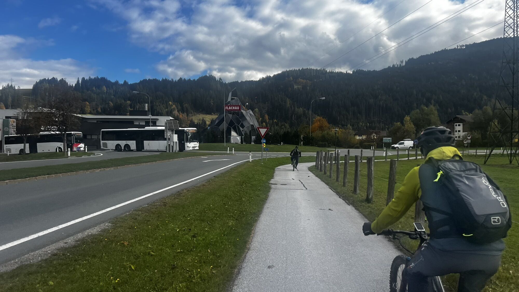
 © Markus VoglOprettet den 18.10.2025
 -
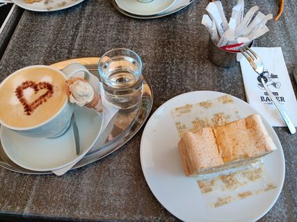
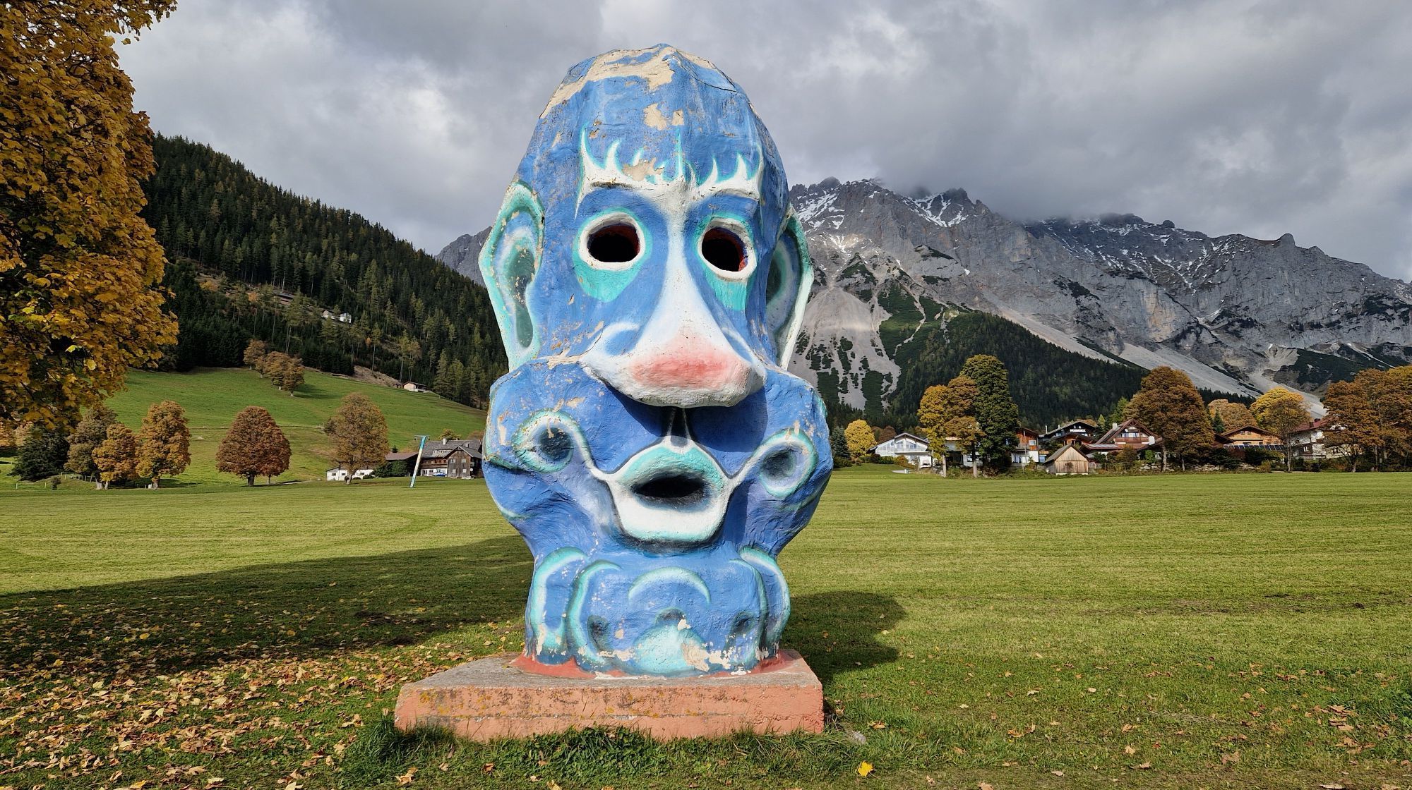
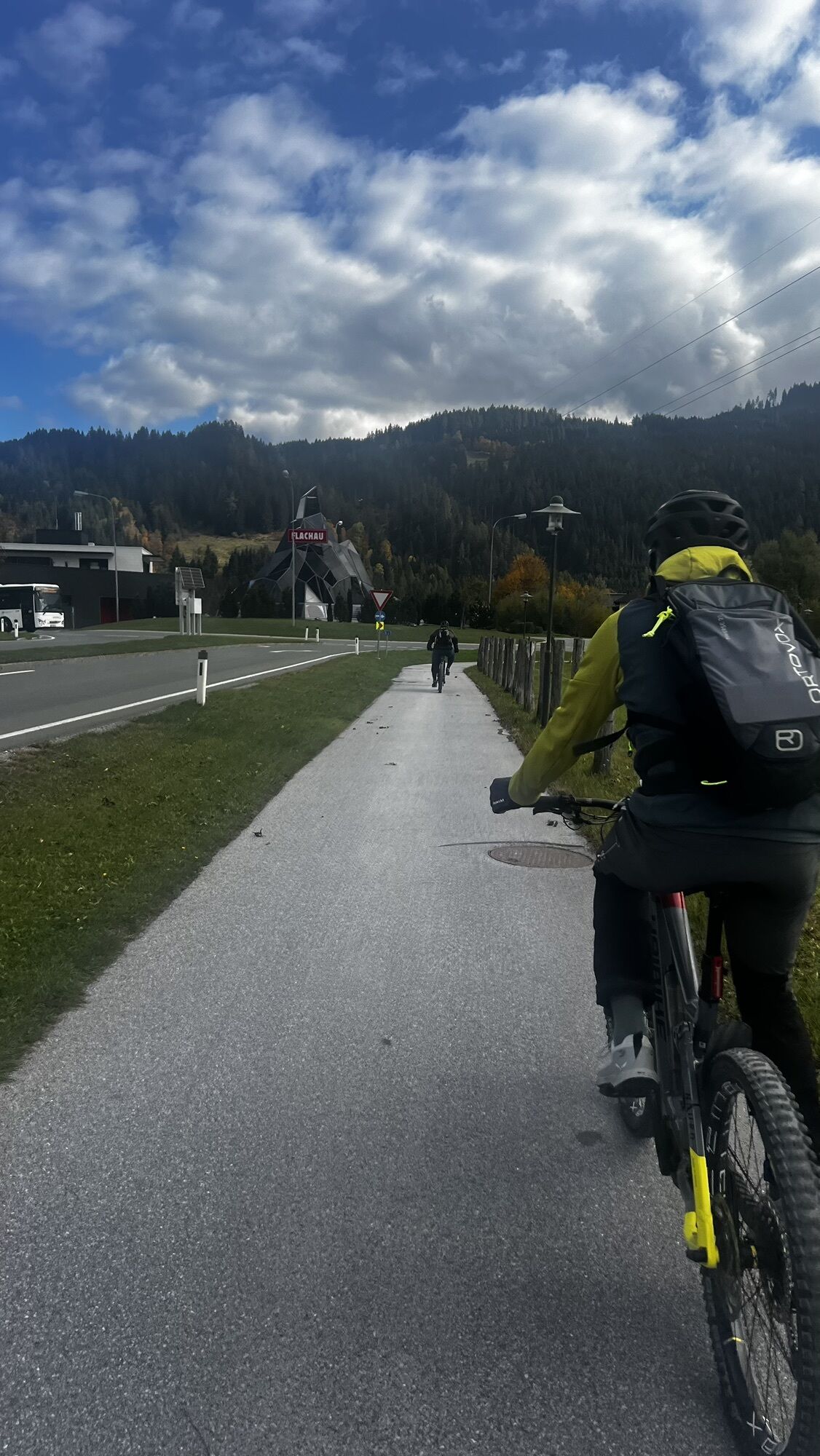
 © Markus VoglOprettet den 18.10.2025
 -
 © Markus VoglOprettet den 18.10.2025
 -
 © Markus VoglOprettet den 17.10.2025
 -
 © Markus VoglOprettet den 17.10.2025
 -
 © Markus VoglOprettet den 17.10.2025
 -
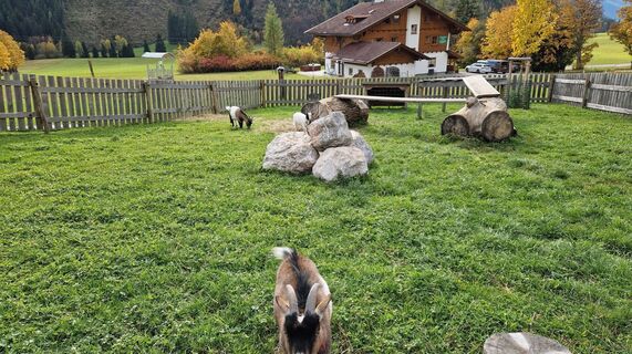
 © Michaela MaurerOprettet den 16.10.2025
 -
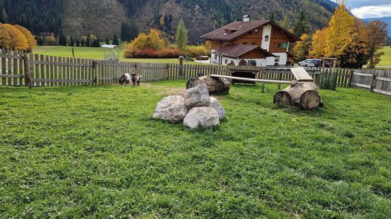
 © Michaela MaurerOprettet den 16.10.2025
 -
 © Michaela MaurerOprettet den 16.10.2025
 -
 © Michaela MaurerOprettet den 16.10.2025
 -
 © Michaela MaurerOprettet den 16.10.2025
 -
 © Michaela MaurerOprettet den 16.10.2025
 -
 © Michaela MaurerOprettet den 16.10.2025
 -
 © SehcupOprettet den 16.10.2025
 -
 © SehcupOprettet den 16.10.2025
 -
 © SehcupOprettet den 16.10.2025
 -
 © SehcupOprettet den 16.10.2025
 -
 © SehcupOprettet den 16.10.2025
 -
 © SehcupOprettet den 16.10.2025
 -
 © Markus VoglOprettet den 12.10.2025
 -
 © Markus VoglOprettet den 11.10.2025
 -
 © Markus VoglOprettet den 11.10.2025
 -
 © Herwig DanekOprettet den 15.08.2025
 -

 © Wolfgang StickelbergerOprettet den 15.08.2025
 -
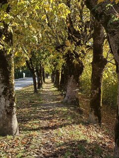
 © Herwig DanekOprettet den 15.08.2025
 -
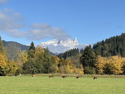
 © Günter KleutschOprettet den 21.07.2025
 -
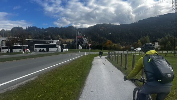
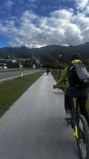
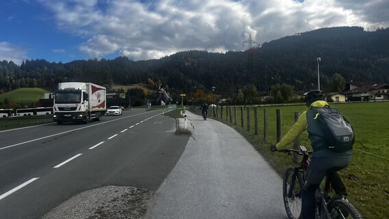
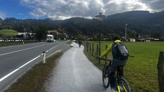
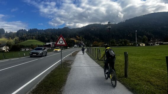
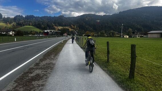
 © Günter KleutschOprettet den 21.07.2025


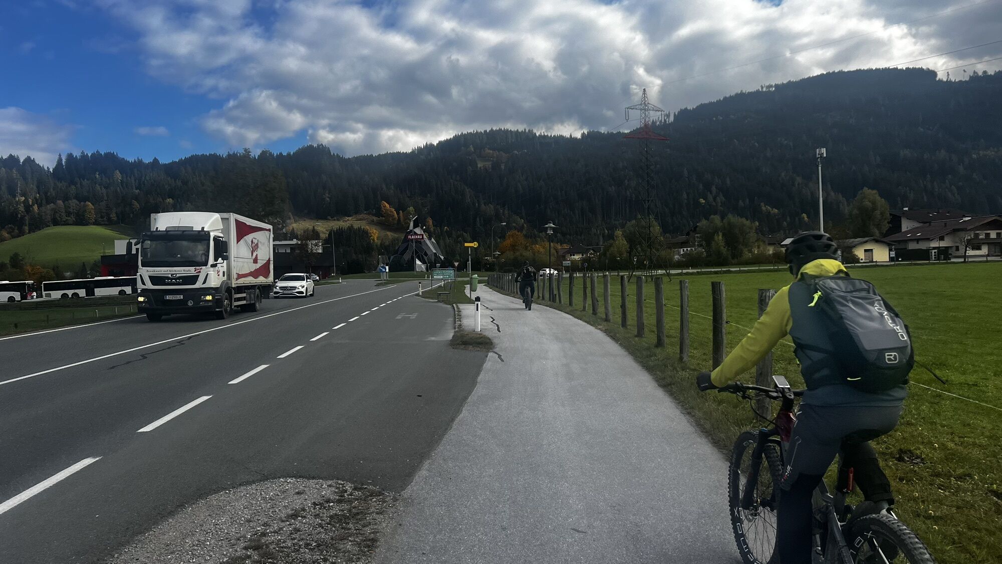


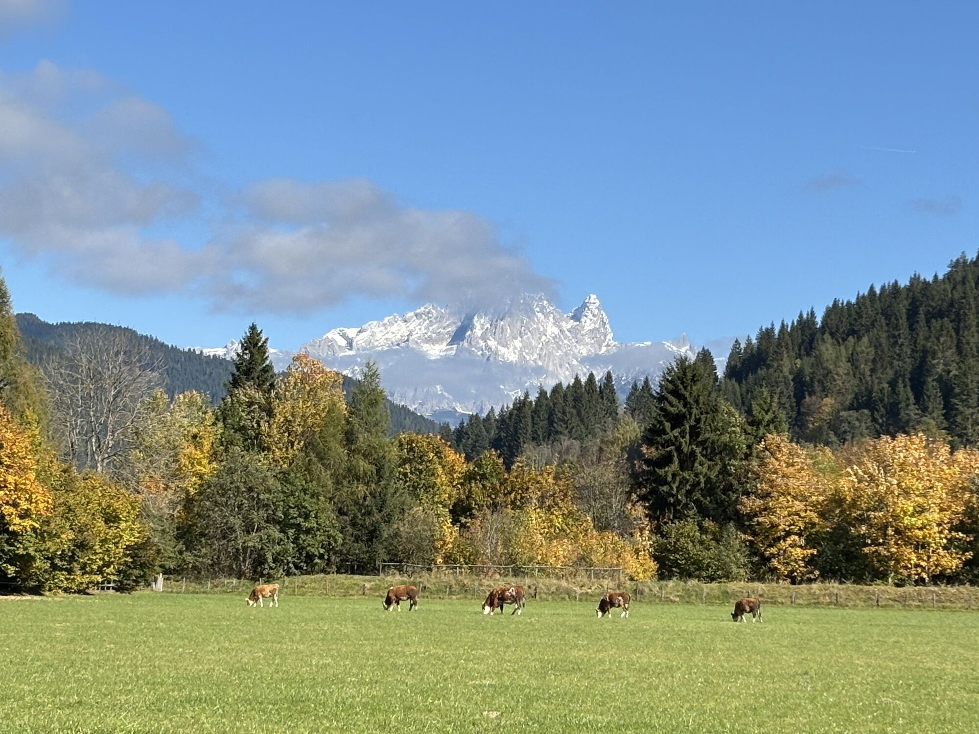
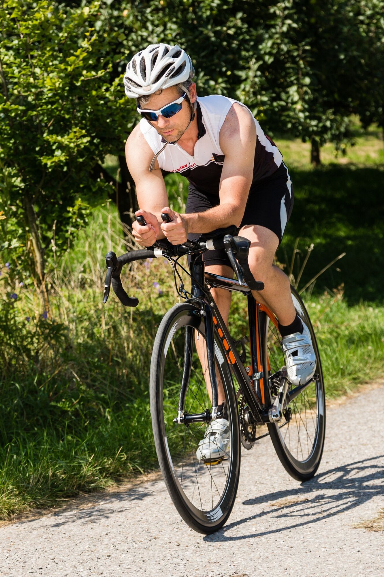
Spectacular route with breathtaking panoramas through the eight municipalities of the Salzburg Sport World. The legendary Amadé Cycling Marathon, held annually in May, is widely known. Of course, this...
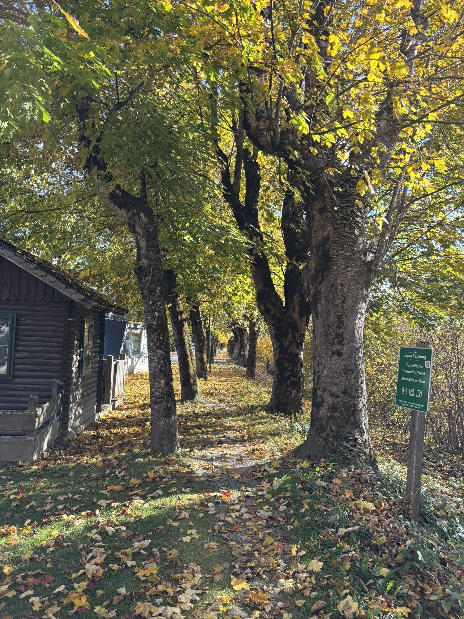
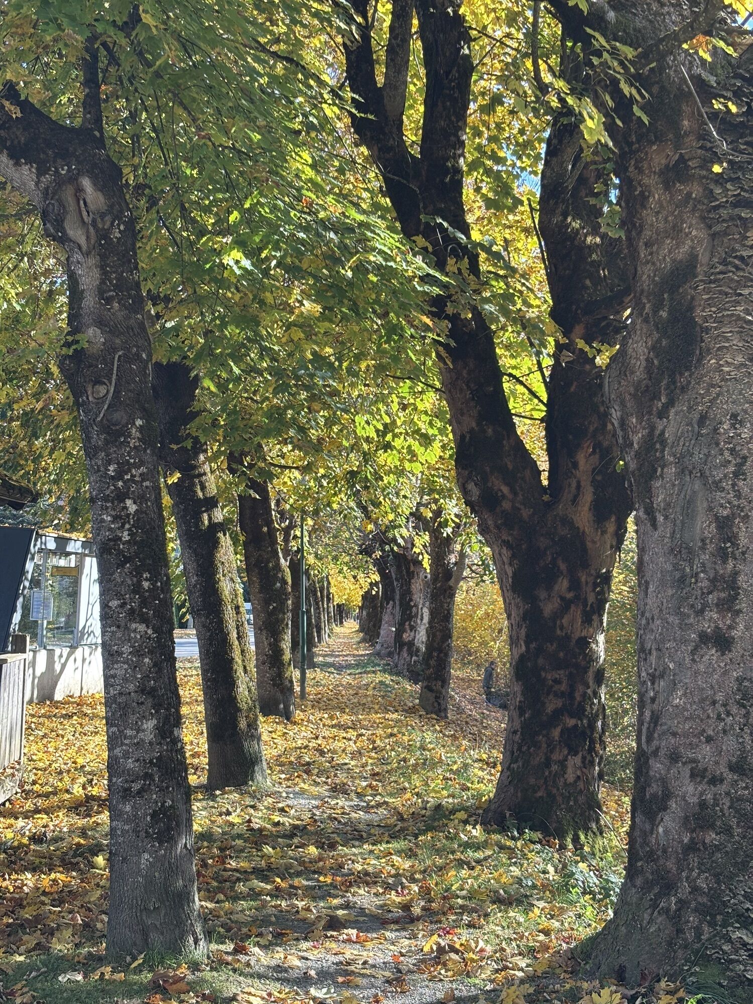
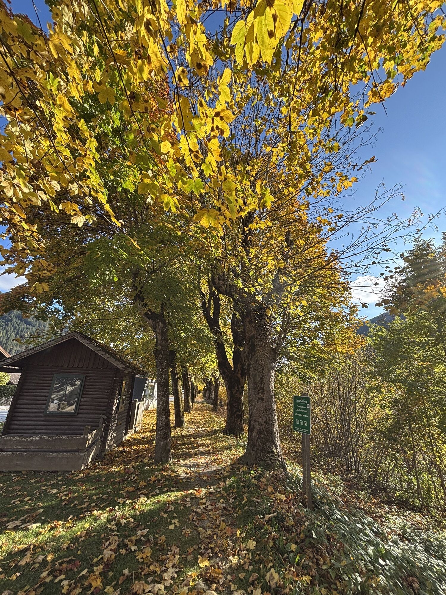
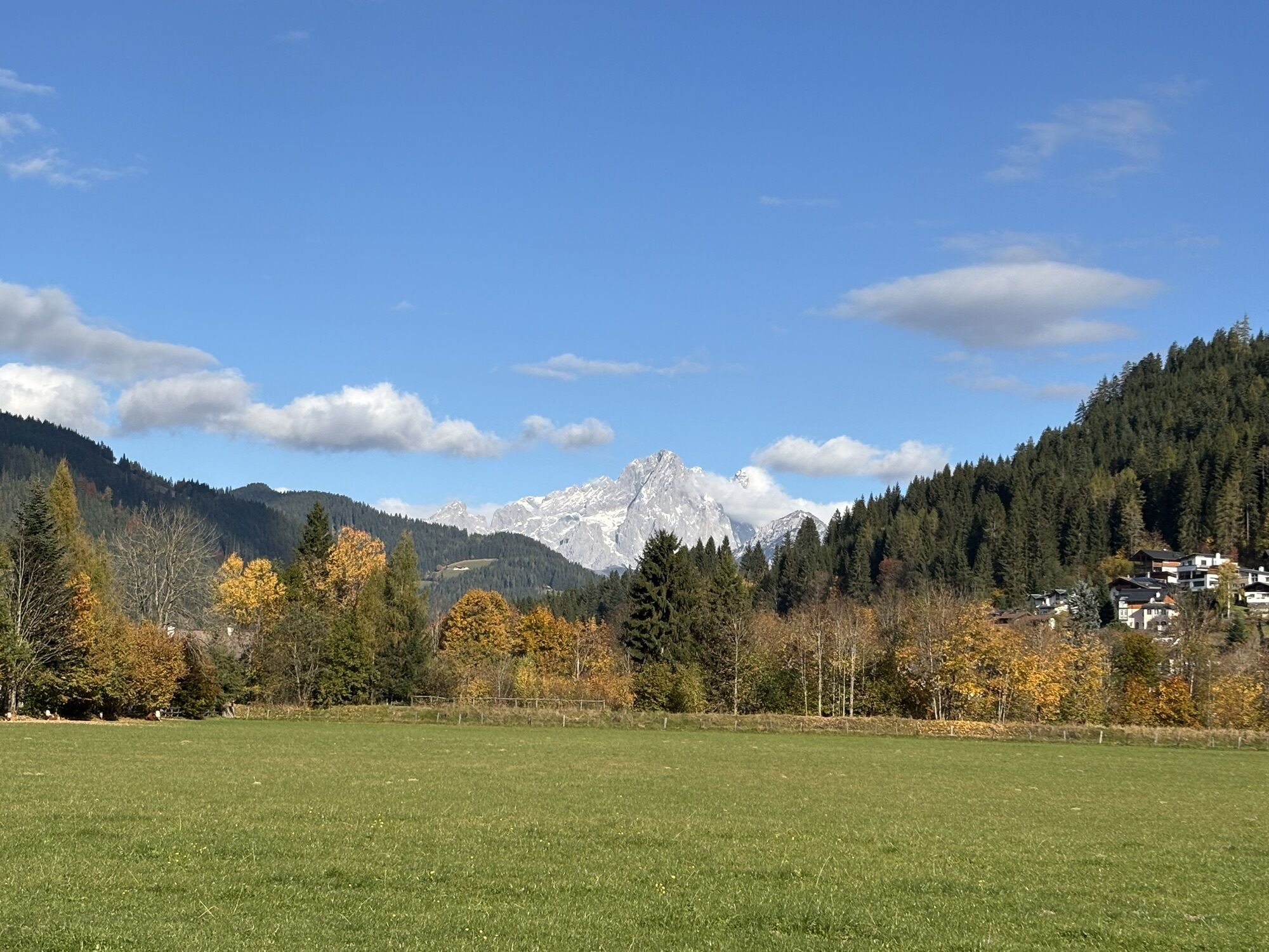
Spectacular route with breathtaking panoramas through the eight municipalities of the Salzburg Sport World. The legendary Amadé Cycling Marathon, held annually in May, is widely known. Of course, this loop is also a highlight on the list of racing bike tours on any other day. Challenging climbs to Ramsau, rapid descents to Filzmoos and to Bischofshofen, as well as the beautiful landscape along this route are unbeatable.
Start Tourist Office Altenmarkt-Zauchensee. From Sportplatzstrasse turn right onto Markstrasse, pass through Altenmarkt and after the level crossing turn right onto the old main road in the direction of Radstadt. Drive through the center of Radstadt and turn right in the direction of Obertauern. About 1 km after Radstadt, turn left at the roundabout in the direction of Forstau (third exit). 4 km uphill to Mooshöhe, followed by an approx. 8 km descent via Forstau to Gleiming. At Gleiming turn right in the direction of Schladming and after approx. 2 km at the Hotel Pichlmayrgut turn left in the direction of Vorberg (note: turn left at the Hotel Pichlmayrgut). This is followed by a nearly 7-kilometer climb over the foothills in the direction of Ramsau, 3 km before the center of Ramsau am Dachstein turn left in the direction of Filzmoos / Eben. Continue via Hachau and Filzmoos all the way down to Eben. At the crossroads just before entering Eben, turn right in the direction of Bischofshofen/Hüttau and continue through the Fritz Valley via Niedernfritz and Hüttau to Bischofshofen (note: turn left at the crossroads 2 km before the center of Bischofshofen). Through Bischofshofen it goes to St. Johann im Pongau. At St. Johann im Pongau turn left towards Wagrain, steady climb to Wagrain. In the center of Wagrain, head in the direction of Flachau and on to Reitdorf. At the roundabout, take the third exit in the direction of Altenmarkt, through the center of Reitdorf and back to Altenmarkt-Zauchensee.
Altenmarkt Centre/Tourist office Altenmarkt-Zauchensee
Opposite the Altenmarkt-Zauchensee tourist office at the public car park.
4
Tourist office Altenmarkt-Zauchensee
Sportplatzstraße 6'
A-5541 Altenmarkt-Zauchensee
Tel: +43(0)6452/5511
E-Mail: info@altenmarkt-zauchensee.at
www.altenmarkt-zauchensee.at
www.facebook.com/altenmarkt-zauchensee
www.instagram.com/visitaltenmarktzauchensee
Webkameraer på turen
-
Bergstation achterjet
-
Rossbrand
-
Gernkogel - Alpendorf St. Johann
-
Grafenberg
-
Bischling
-
Radstadt - Simonyhof
-
Hochwurzen Talstation
-
Altenmarkt - Sinnhubbauer
-
Altenmarkt - Schartner
-
Aparthotel Jagdhof Filzmoos
-
Aparthotel Jagdhof Filzmoos
-
St. Johann-Alpendorf
-
Ramsau - Aparthotel Ramsau
-
Ramsau - Aparthotel Ramsau
-
Kemahdhöhe
-
Rittisberg
-
Pfarrwerfen Feratel
-
Talstation 8 EUB
-
Bergstation Preunegg Jet
-
Ramsau / Lindenhof - Ramsbergerhof
-
Reitlehenalm
-
Kemahdhöhe
-
Kemahdhöhe
-
Kemahdhöhe
-
Kemahdhöhe
-
Bischofshofen-Kreuzberg
-
Pfarrwerfen
-
Pfarrwerfen Feratel
-
Pfarrwerfen Feratel
-
Pfarrwerfen Feratel
-
Pfarrwerfen Feratel
-
Pfarrwerfen Feratel
-
Pfarrwerfen Feratel
-
Pfarrwerfen Feratel
-
Dachstein
-
Bischling
-
Bischling
-
Bischling
-
Bischling
-
Bischling
Populære ture i området
-
4.7
Tour around the Gosaukamm
MediumVandring 20.9 km -
4.3
Filzmoos: Rötelstein (Rettenstein)
Vandring 9.50 km -
4.1
Reiteralm Höhen-Rundweg
MediumVandring 5.50 km -
4.8
Reiteralmrunde
lysVandring 5.71 km -
4.7
Ski route Lackenkogel
MediumSkitour 7.82 km -
5.0
Forstau - Rippetegg / Reiteralm
MediumVandring 13.9 km -
4.5
Wengerau - Tauernkogel - Eiskogel - Napf - Wengerau
MediumHøj tur 15.5 km -
3.6
Salzburger Gipfelspiel: To the Gerzkopf and the Schwarzen Lacke
MediumVandring 8.39 km -
2.9
Von der Reiteralm zum berühmten Spiegelsee
lysVandring 3.98 km -
3.8
Rittisberg Rundweg
lysVandring 11.8 km
Vandring og sporing


Gå ikke glip af tilbud og inspiration til din næste ferie
Din e-mailadresse er blevet tilføjet til mailinglisten.