


Sværhedsgrad: 2


Easy half-day route with fantastic panoramic views far into France, French charm of Sarreguemines, return ride along the Saar, and a cozy finish at the St. Johanner Market in Saarbrücken.
Route: Saarbrücken-Güdingen...
Easy half-day route with fantastic panoramic views far into France, French charm of Sarreguemines, return ride along the Saar, and a cozy finish at the St. Johanner Market in Saarbrücken.
Route: Saarbrücken-Güdingen Lock - Güdingen town center Fechingen - Fechingen swimming pool - Eschringen outskirts - Dragonerweg on the ridge between the Saar and Blies valleys - Auersmacher - Moulin de la Blies - Sarreguemines - Welferding - Grosbliederstroff - Güdingen Lock-Saarbrücken
The entire route is continuously marked with directional signs and the Velo visavis route logo.


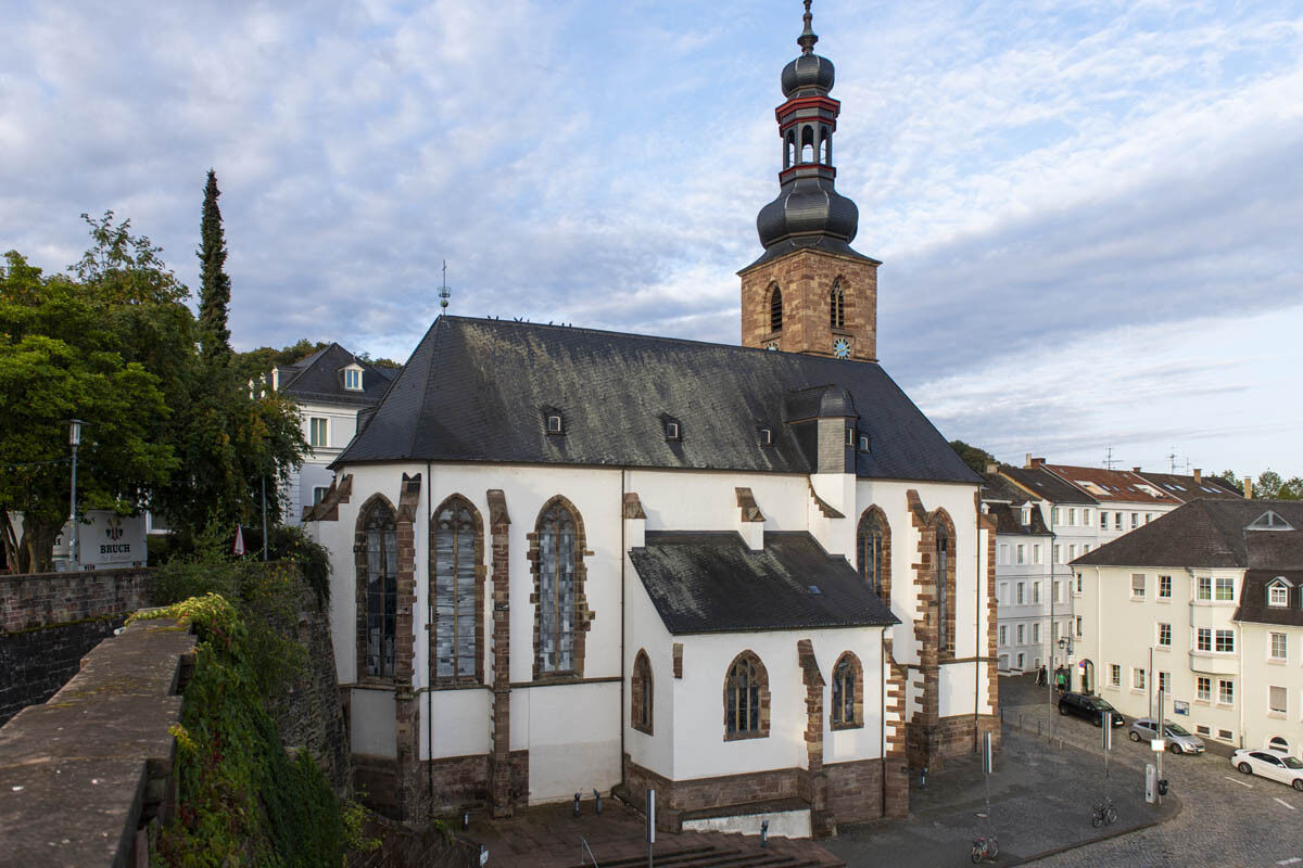
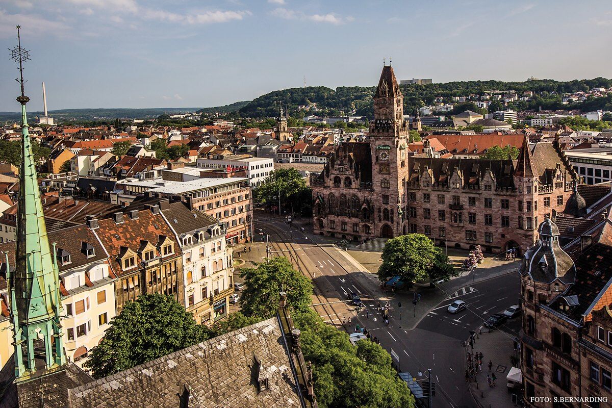
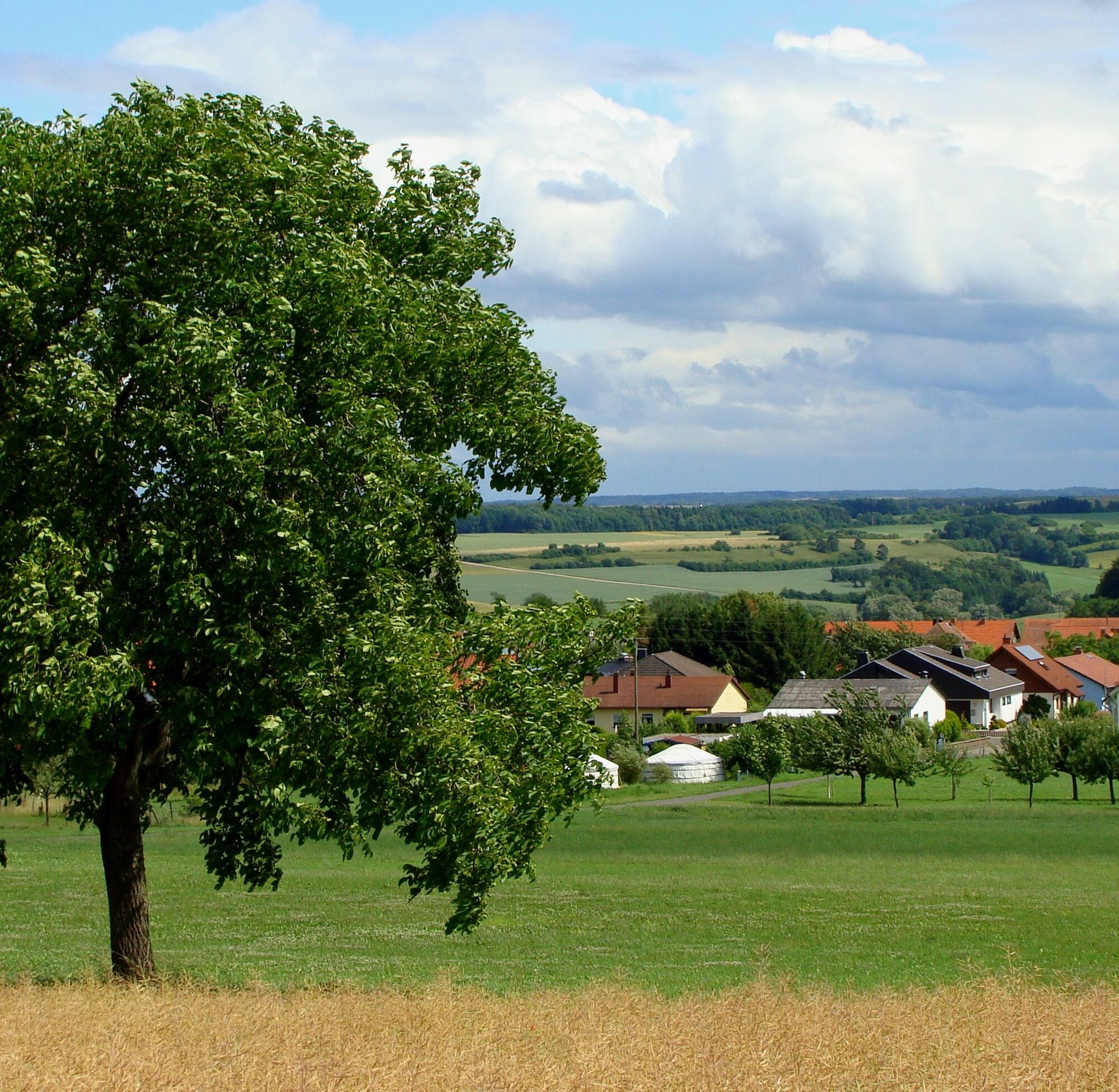
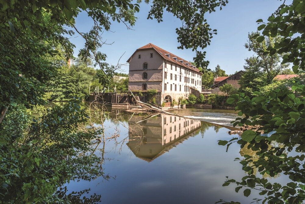
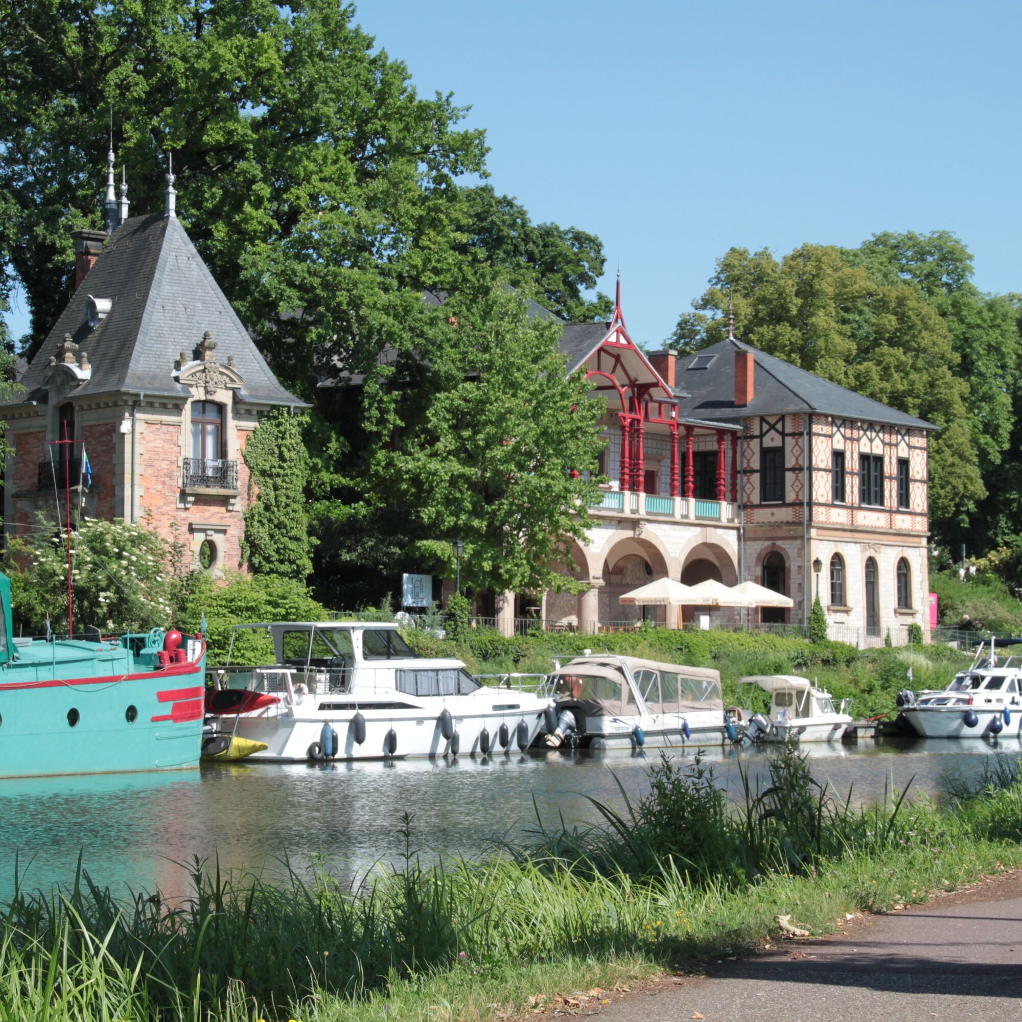
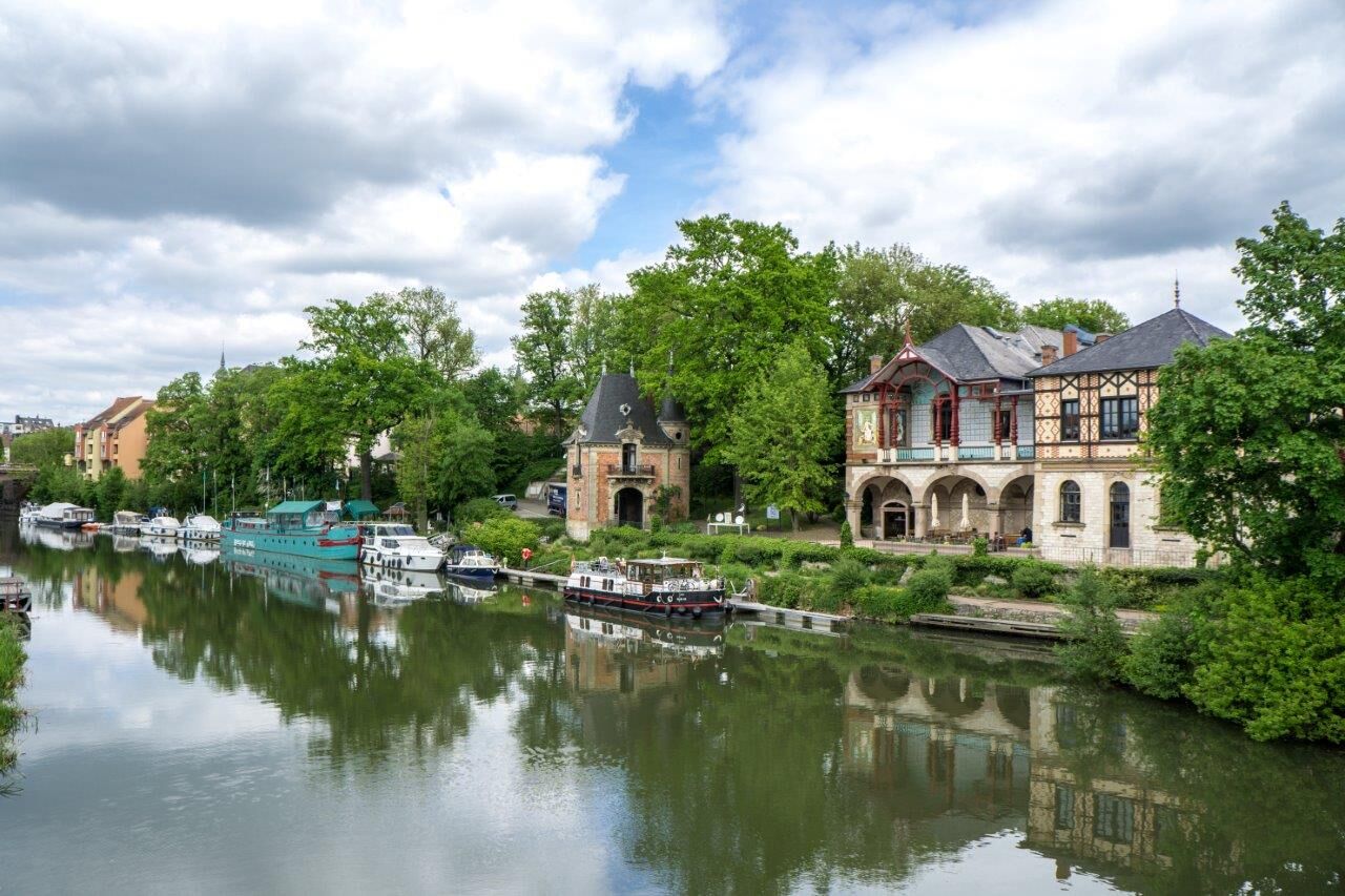
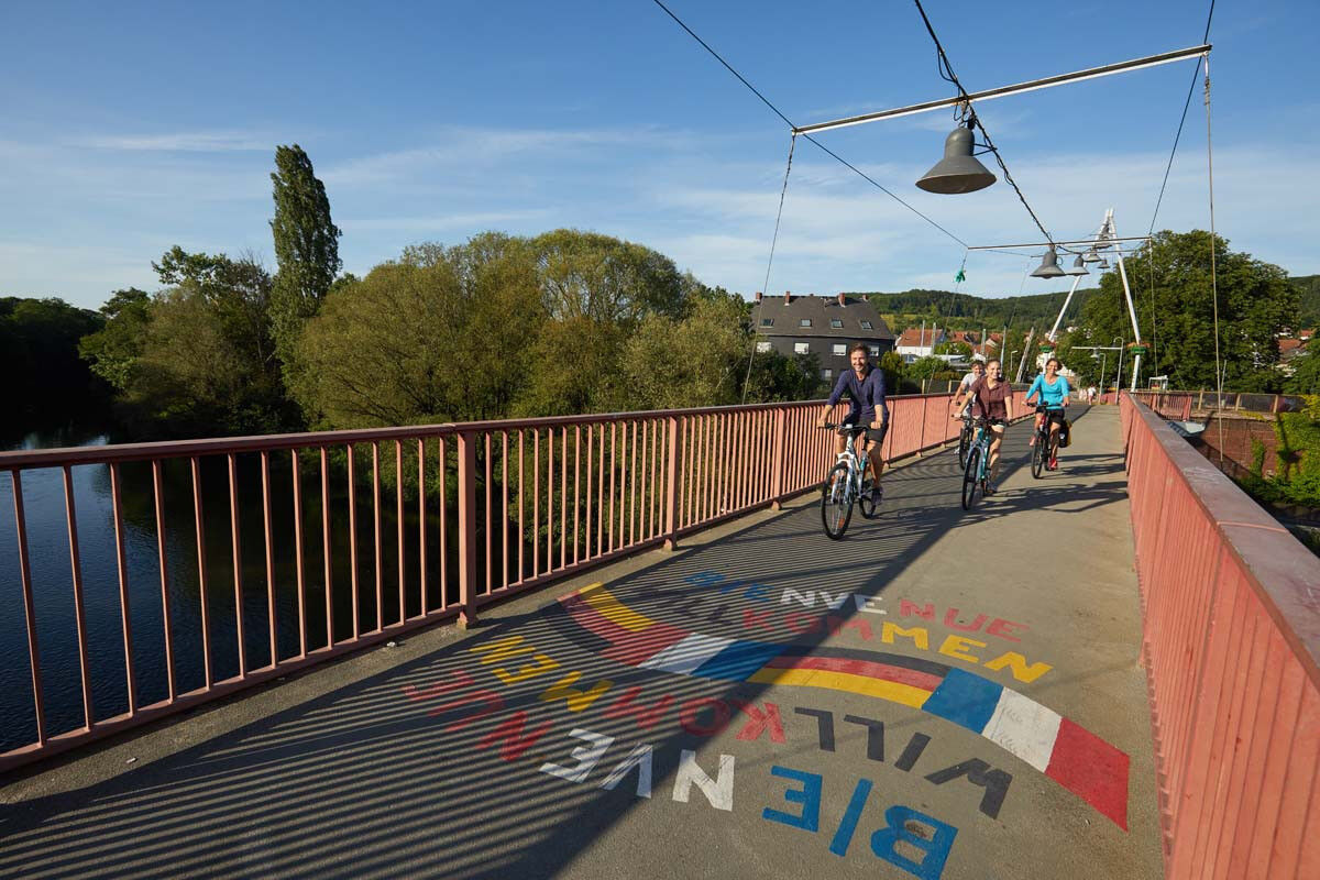
The route starts at the Güdingen Lock. You first cross the Saar on the L 109. Then you continue through the old town center of Güdingen. Use restaurants and shops as supply points before a longer, scenic section. After passing through Güdingen, you reach Fechingen. There, the outdoor pool at the town exit is a good spot to cool off on hot days. You continue cycling through fields and meadows in the Eschringen valley. Then you face a short but steep climb from the sports field to the edge of the forest. After crossing the small forest, you ride over a high plateau via the Dragonerweg and Wehholzer Weg to Auersmacher. The effort of the climb is rewarded with fantastic panoramic views of the Bliesgau and Lorraine up to the Vosges. You cycle along the Saarland section of the Pilgrim's Way. Then you descend through the Mühlenwald near Sitterswald to the German-French border and along the Blies. At the Bliesmühle, the interesting museum for stoneware technology, you cross the border river. The cycle path leads you through Sarreguemines to the Saar. Now you cycle 17 km along the Saar on the historic towpath back towards Saarbrücken.
2
Saarpfalz Tourism
Tel. 06841 - 104 71 74
www.saarpfalz-touristik.de/
Saarland Tourism Center
Tel. 0681 - 9 27 20 - 0
www.urlaub.saarland
If you notice a defect on the route, please report it using our defect reporter: https://bit.ly/MaengelmelderBliesgau.
Thank you for your help.
Populære ture i området
-
4.0
Primeval Forest Route
MediumVandring 8.22 km -
5.0
Blies Border Path
tungVandring 14.9 km -
4.5
Ensheim Wells Path
MediumVandring 10.4 km -
On foreign paths/Karl May hiking route Sulzbach loop
tungTemaspor 13.5 km -
Wild Netzbach Trail
MediumVandring 9.23 km -
Rund um Dalem
tungTemaspor 12.5 km -
Seven-Pond Route
MediumCykling 28.6 km -
The Pur - Around St. Ingbert
tungMountainbike 53.7 km -
Great Bliesgau Biosphere Circuit
tungCykling 70.3 km -
Bliesgau cycle path
MediumCykling 36.2 km

Vandring og sporing


Gå ikke glip af tilbud og inspiration til din næste ferie
Din e-mailadresse er blevet tilføjet til mailinglisten.