


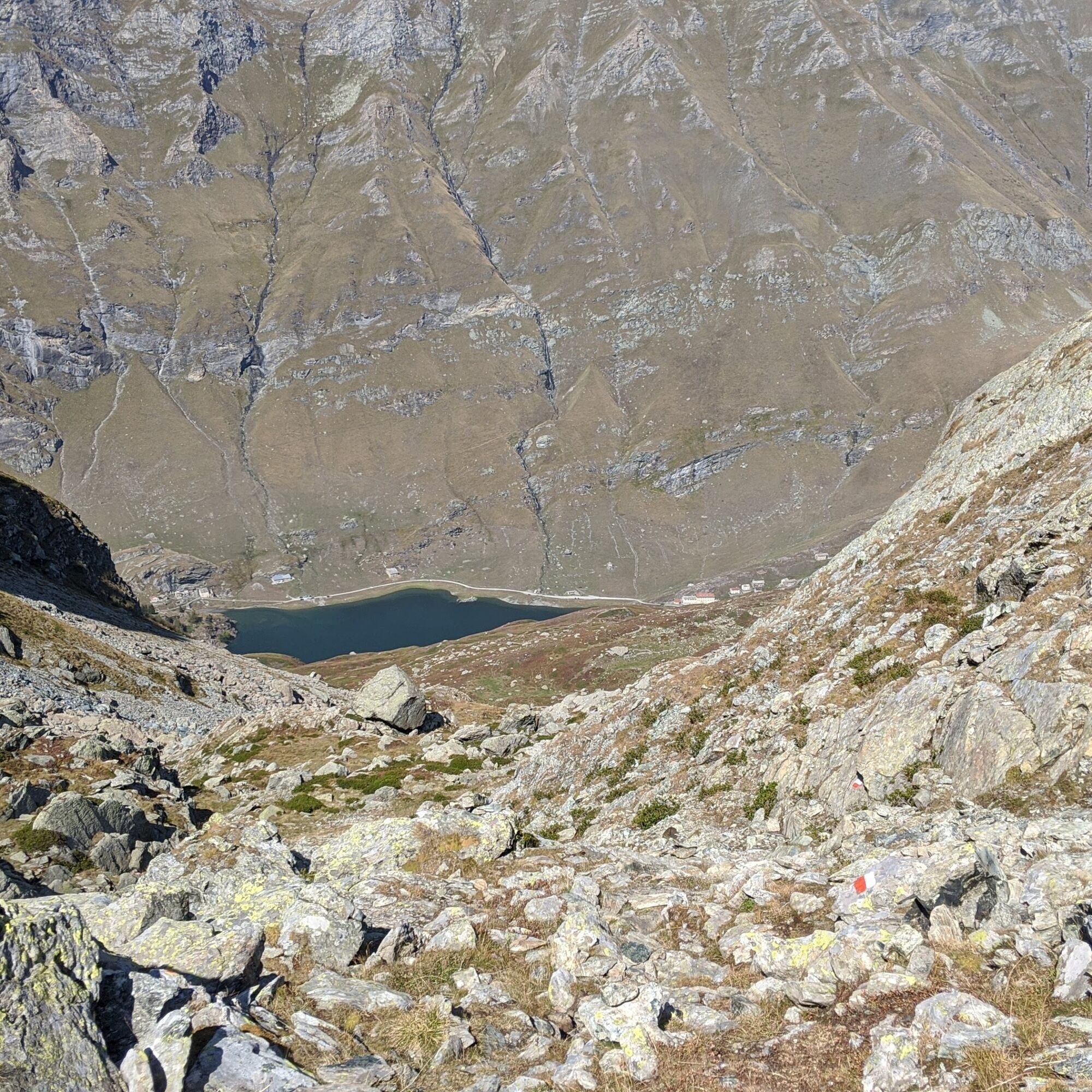
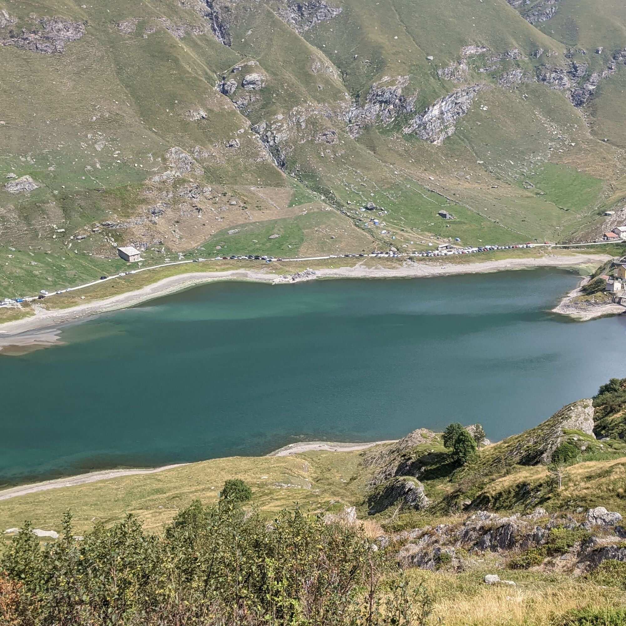
Hike starting from scenic Malciaussia Lake with the picturesque hamlet of Pietramorta. As you ascend, the panorama opens up more and more, first to Malciaussia Lake and then to Black Lake, with Mount Lera...
Hike starting from scenic Malciaussia Lake with the picturesque hamlet of Pietramorta. As you ascend, the panorama opens up more and more, first to Malciaussia Lake and then to Black Lake, with Mount Lera always clearly visible on the other side of the valley.
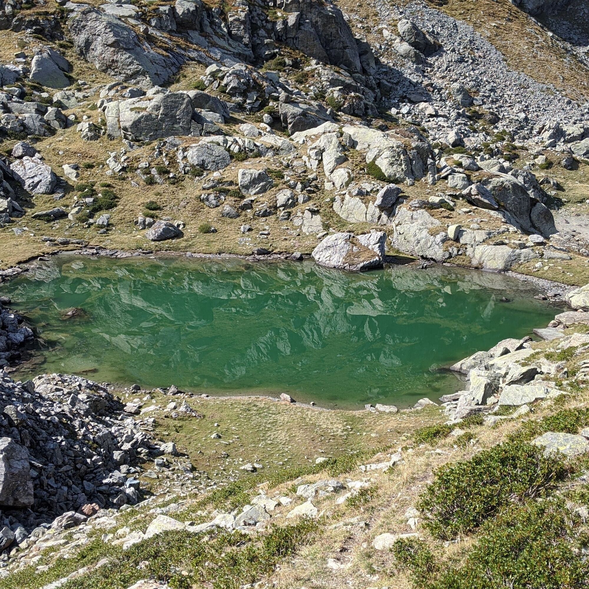
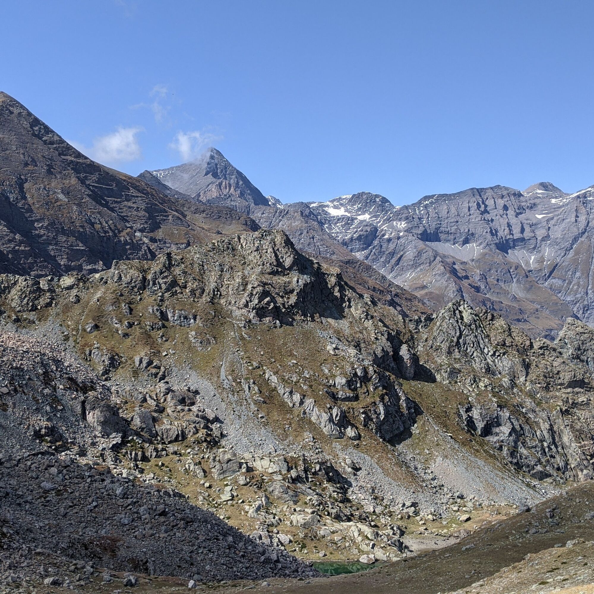
The small Turlo lakes (2370 m) are small basins of icy water filling basins surrounded by scree; the path to them was restored a few years ago and is quite wild.
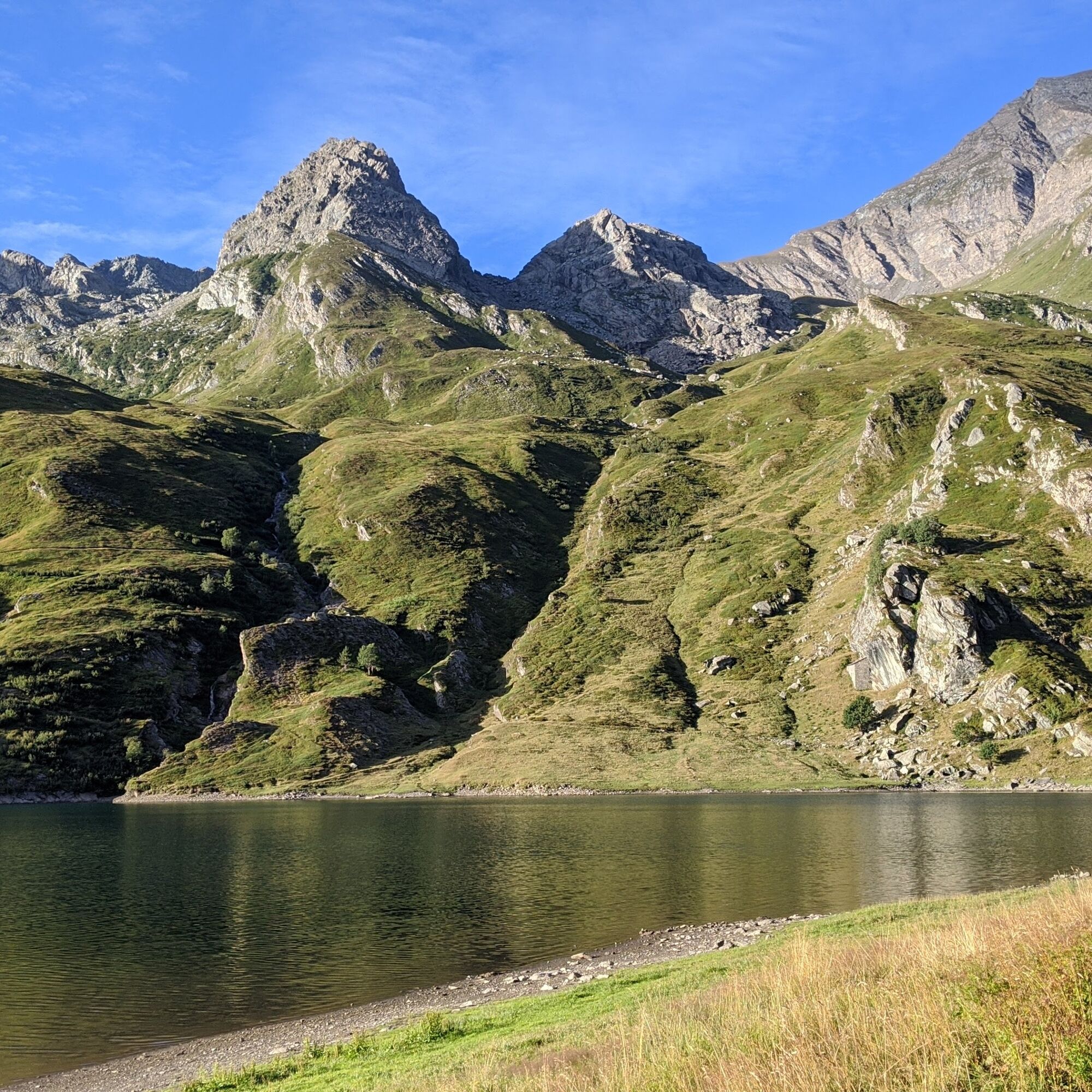
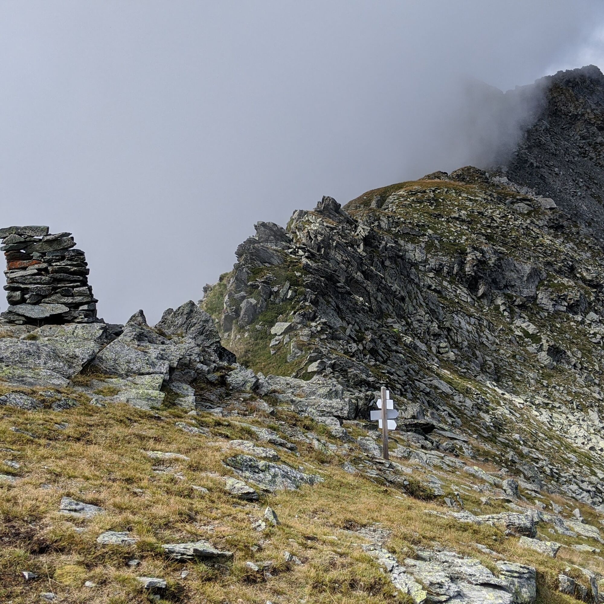
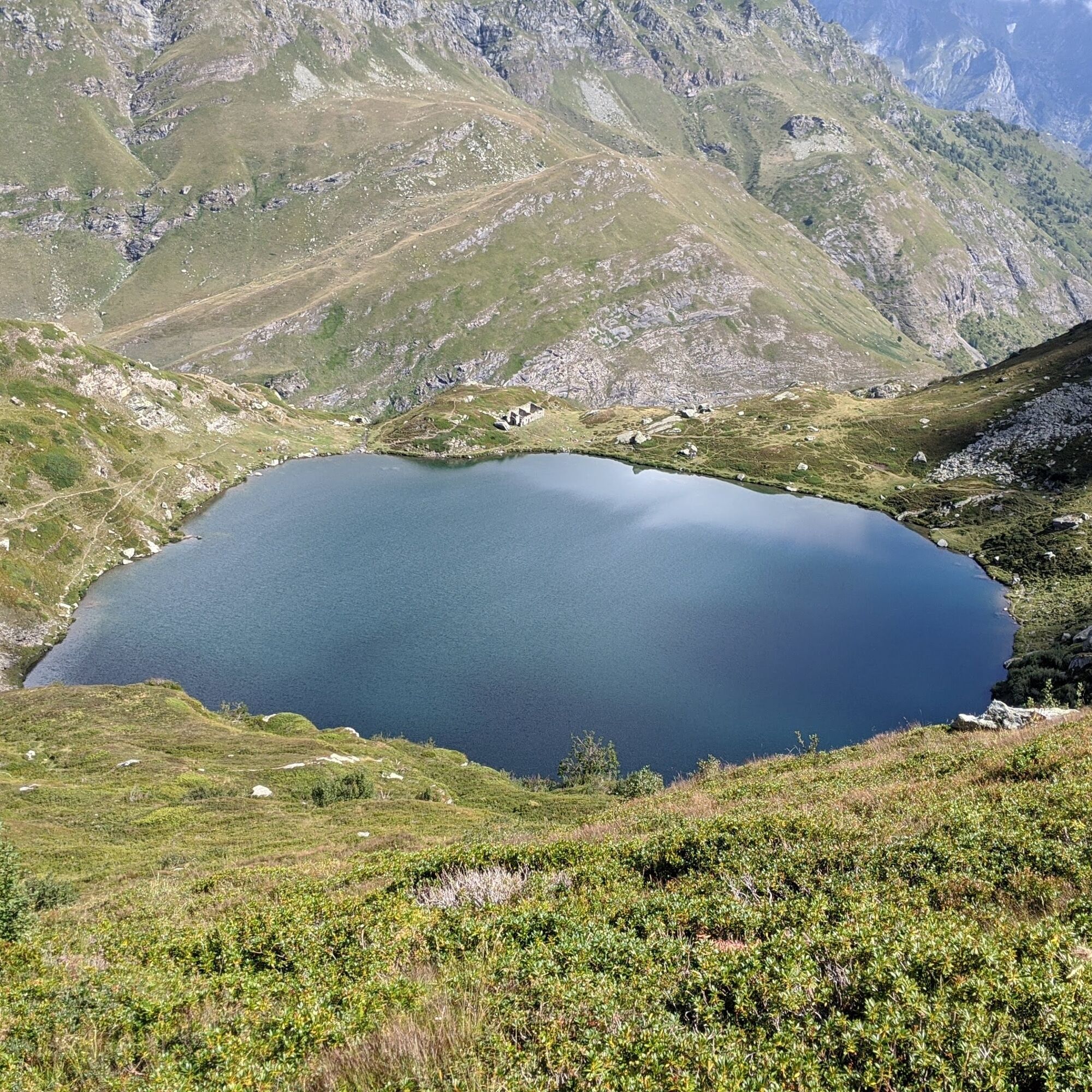
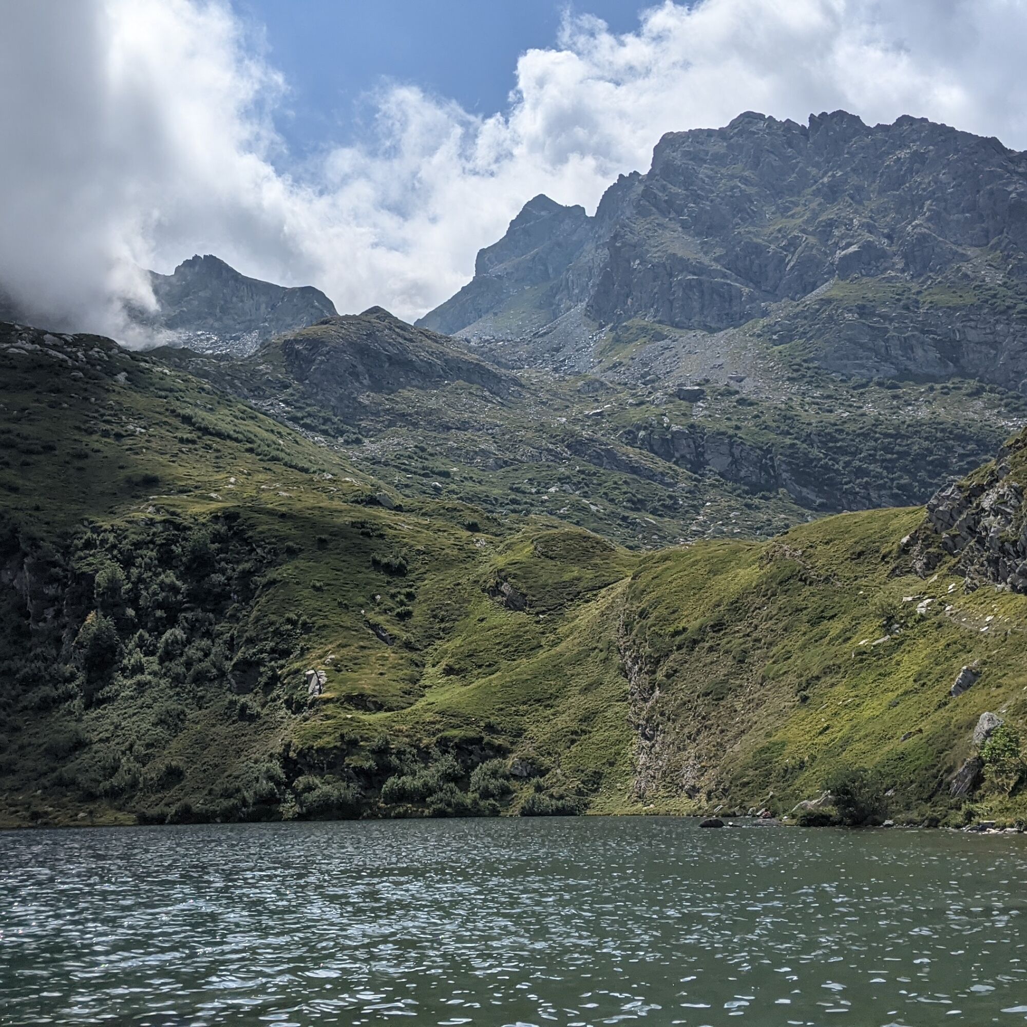
Continuing to climb, you reach the Costa Fenera pass, on the watershed with the Susa valley: the panorama then becomes richer with a different view of the valley floor and the valsusine peaks. We return to the Viù valley from the Coupe pass to arrive on the shores of Lake Nero (2020 m)
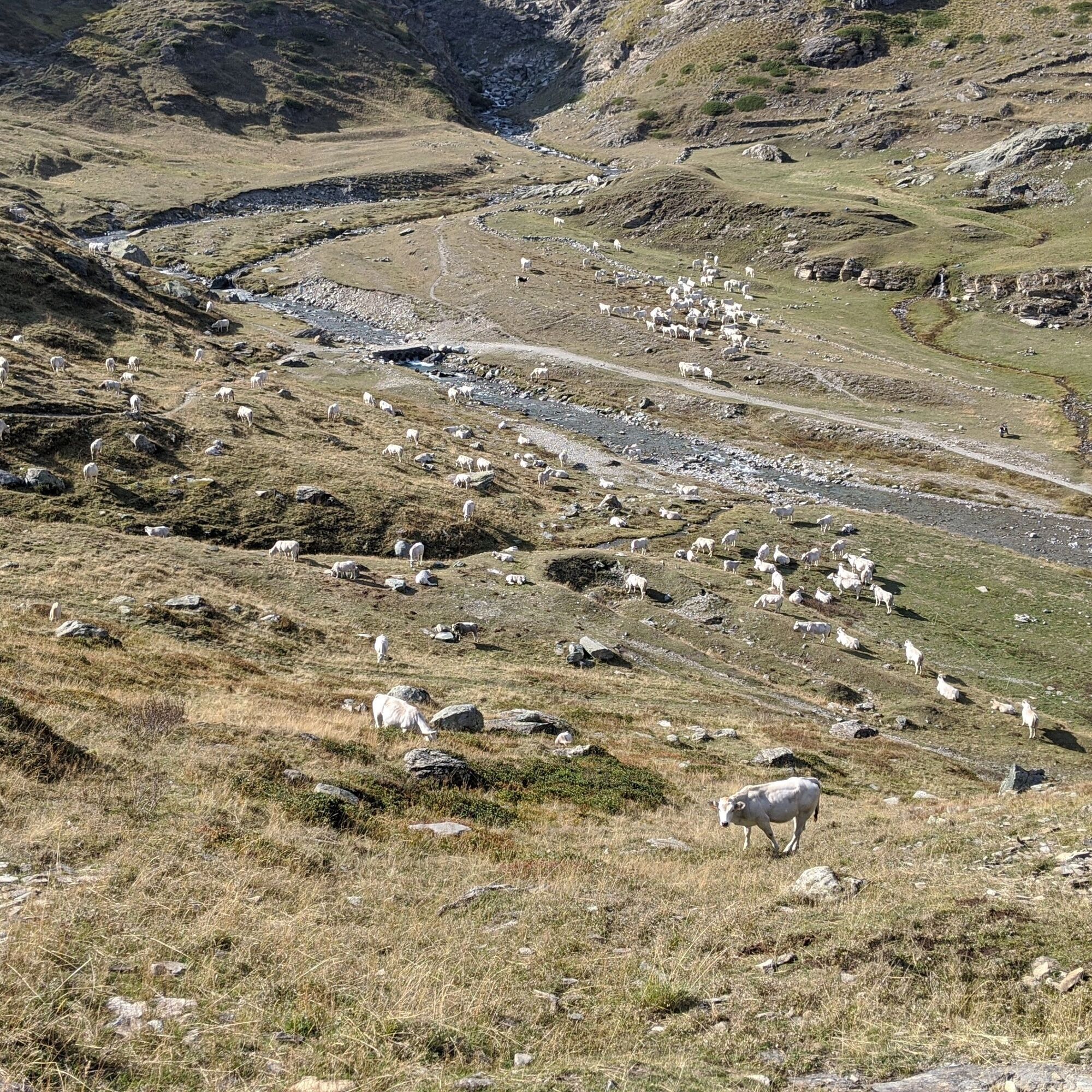
From Malciaussia Lake, passing through the hamlet of Pietramorta, walk on the path beside the stream and then cross it a little further on. Then take path 114/GTA/SI. After about a half-hour's walk turn left, following the signs for Lago Nero and Colle delle Coupe (trail 113). After a little while, in an almost flat section, the trail (113A) to the Turlo lakes begins on the right.
The trail climbs among rhododendrons, passes a nice viewpoint over Lake Nero and continues to climb past small scree slopes to the Turlo ponds (2370 m). Another 20 minutes or so of walking takes you to the Costa Fenera pass.
Then turn left remaining on the valsusino side until the cole delle Coupe (2341 m): turn left to return to the val di Viù side and descend to Lake Nero. Continue descending to reach the junction taken on the outward journey: retrace the rest of the trail to Malciaussia.
Footwear with non-slip soles, wind/rain cover, a warm layer, water and food supply, first aid, hat and sunglasses are recommended.
There are no refreshments or water points along the route.
From the plain get to Germagnano, leaving the village turn left towards Viù / Usseglio. Once in Usseglio continue on the provincial road to the lake of Malciaussia
At the lake there are parking spaces (fee in summer)
For tourist information about the valleys: Consorzio Operatori Turistici Valli di Lanzo - www.turismovallidilanzo.it
Access to Malciaussia Lake from Margone is regulated with restriction (ordinance of the Metropolitan City of Turin) to 130 vehicles and paid parking: it is advisable to view the regulations on the Usseglio municipality website to know the days affected and to arrive early in the morning.
On the way back enjoy a good meal at the Vulpot shelter
Populære ture i området
-
TOUR OF THE THREE REFUGEES -Amprimo - Toesca - Val Gravio
tungVandring 17 km -
Ovarda Lakes Ring
tungVandring 15.9 km -
Ring of religiosity - Lemie
MediumVandring 9.26 km -
4.0
Rocciamelone partedjo dalla Riposa. Mompantero, Piemont/Italien
MediumVandring 10.6 km -
Lake Viana from Alpe Bianca
MediumVandring 5.56 km -
Goldtoni - Alpenbogen A118 Lago di Malciaussia-Balme
MediumLangdistance-vandresti 24 km -
Goldtoni - Alpenbogen A117 Susa-Lago di Malciaussia
MediumLangdistance-vandresti 24.7 km -
Goldtoni - Alpenbogen A116 Lago di Laux-Susa
lysLangdistance-vandresti 23.9 km -
5.0
Laghi Verdi e lago Paschiet
MediumVandring 7.51 km -
5.0
Arnas - Pian della Mussa Ring
tungVandring 13.6 km

Vandring og sporing


Gå ikke glip af tilbud og inspiration til din næste ferie
Din e-mailadresse er blevet tilføjet til mailinglisten.