


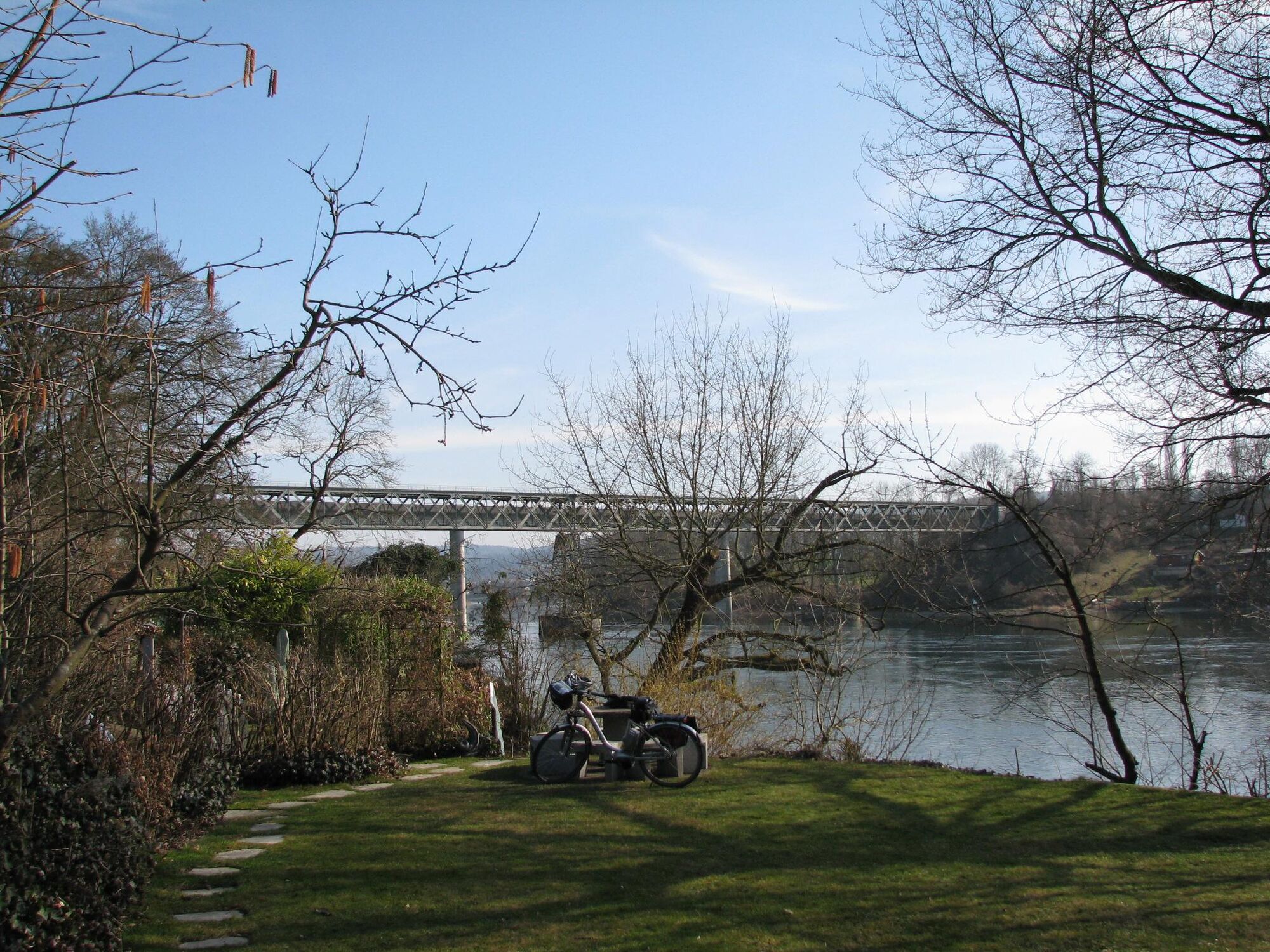
The route leads on the Swiss side along the Rhine Valley bike path to Stein am Rhein and on to Hemishofen. It can be shortened or extended. The Rhine can be crossed in Stein am Rhein, Hemishofen, or Diessenhofen....
The route leads on the Swiss side along the Rhine Valley bike path to Stein am Rhein and on to Hemishofen. It can be shortened or extended. The Rhine can be crossed in Stein am Rhein, Hemishofen, or Diessenhofen. The return route is on the northern side of the Rhine via Stein am Rhein on the Lake Constance bike path back to Gaienhofen.

From the starting point Gaienhofen, Steckborn can be reached by ship, timetable see www.urh.ch, from May to September also with the Höri ferry, timetable see www.schifffahrtlang.de. In Steckborn, proceed first on Seestraße toward Mammern. At the Feldbach area turn onto Weiherstrasse, cross the railway line and follow the very well signposted bike path to the desired destination Stein am Rhein, Hemishofen, or Diessenhofen. Regardless of which route you choose, Stein am Rhein should definitely be visited. The return route to Gaienhofen runs almost exclusively on the also well signposted Lake Constance bike path.
Via Höristraße L192 to Gaienhofen
The Höribus 7368 stops in Gaienhofen but does not carry bicycles!
With the shipping company Untersee and Rhine or the Höri ferry to Steckborn
Parking lots at the Gaienhofen ship landing, Schloßstraße Gaienhofen
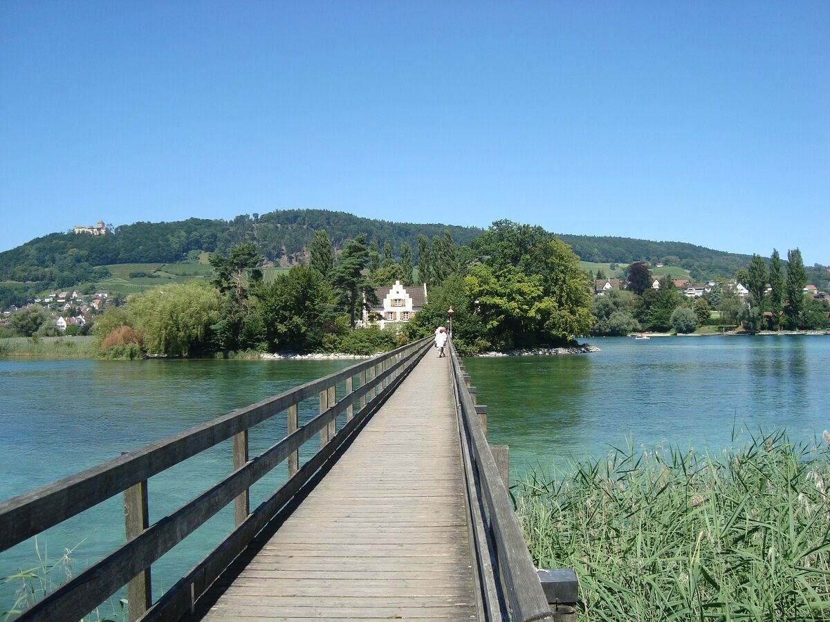
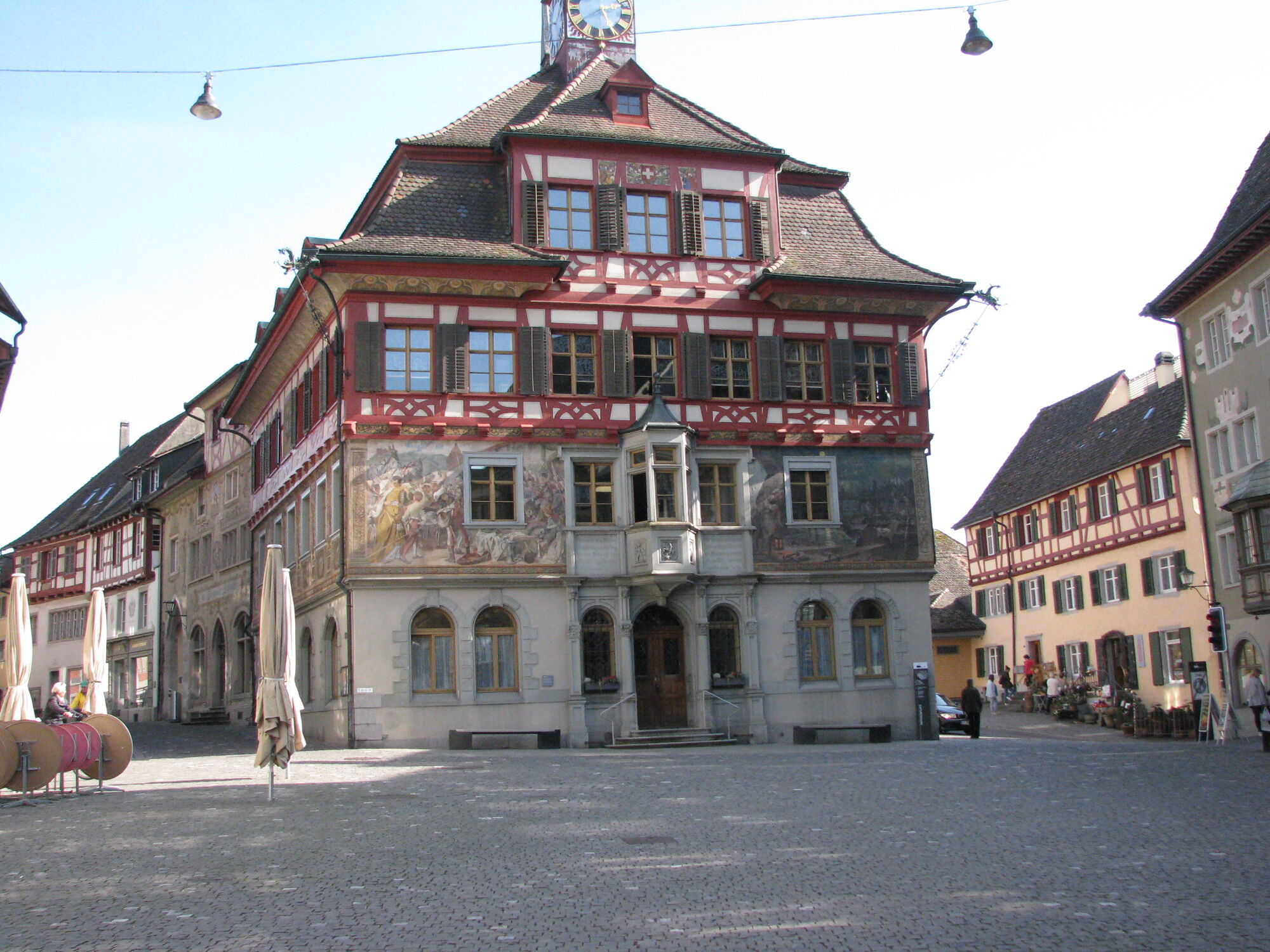
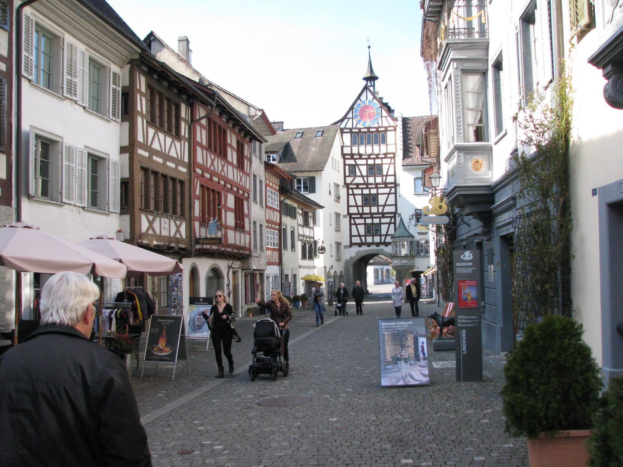
Detour to Werd Island, on foot through the old town of Stein am Rhein, Fischerhaus Museum and Stone Age House in Wangen
Populære ture i området
-
3.7
Mindelsee-Runde
lysVandring 7.83 km -
4.0
Around the island of Reichenau
lysVandring 10.9 km -
3.7
Firstweg Langenmos
MediumVandring 5.76 km -
Hike on the panorama route of the Höri Peninsula
MediumVandring 8.11 km -
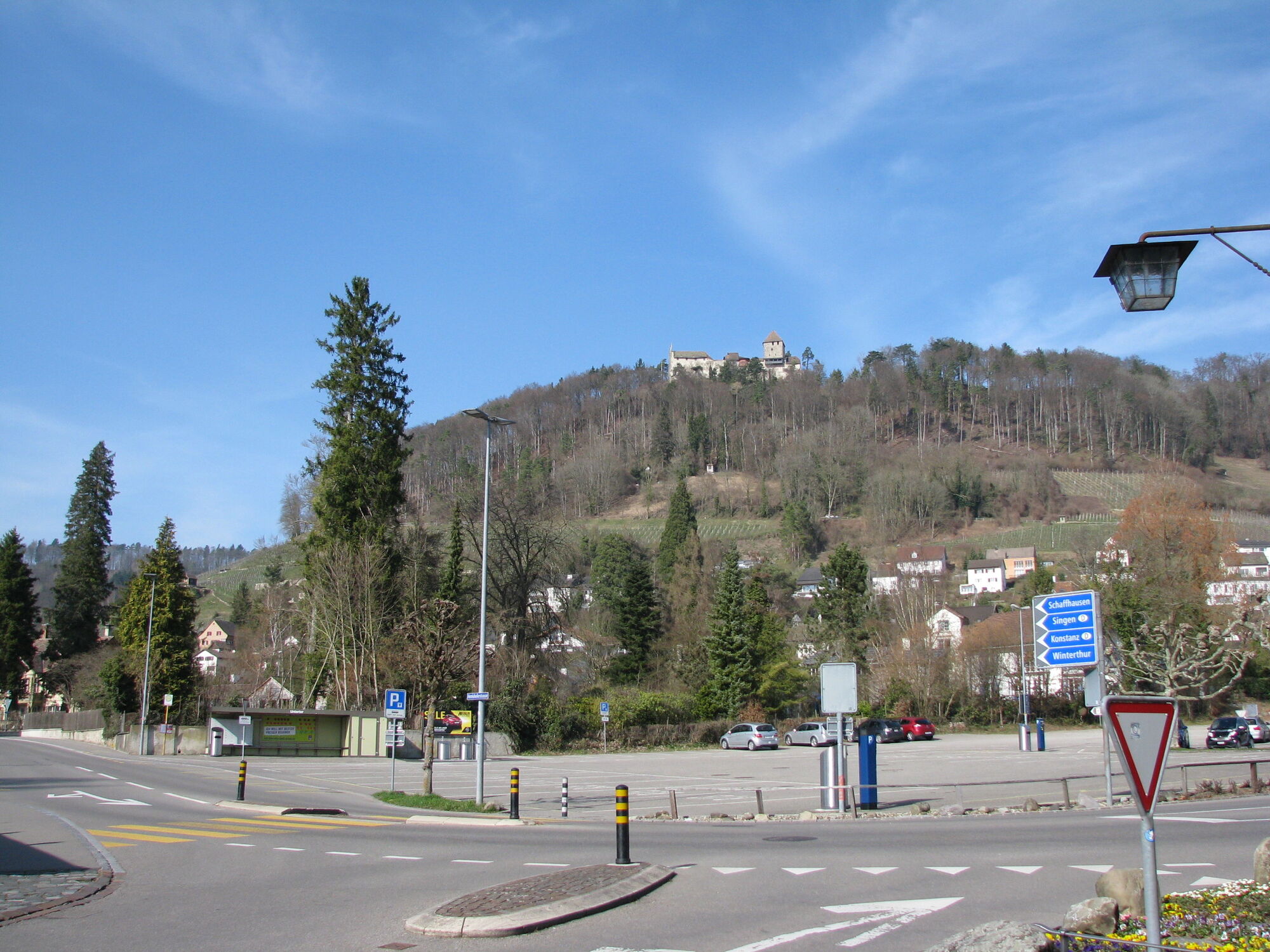
Stein am Rhein - Hohenklingen Castle - Stein am Rhein
tungVandring 7.79 km -
Wangener Bänkleweg 2 West
MediumVandring 7.54 km -
5.0
"Hegauer Kegelspiel" Hohentwieler
MediumVandring 7.21 km -
5.0
Höri Experience Path Wangen - Hemmenhofen (return by boat)
MediumVandring 9.53 km -
Cross-border adventure trail Öhningen - Stein am Rhein
MediumVandring 7.49 km -
5.0
Rundwanderung Reichenau
lysVandring 11.2 km
Vandring og sporing


Gå ikke glip af tilbud og inspiration til din næste ferie
Din e-mailadresse er blevet tilføjet til mailinglisten.