


Starting from the Kreuzberg parking lot, go under the railway underpass and turn right to the entrance to Kreuzberg. Always follow the arrow "Kreuzberg circular trail E20" to reach Einsiedlerboden, the...
Starting from the Kreuzberg parking lot, go under the railway underpass and turn right to the entrance to Kreuzberg. Always follow the arrow "Kreuzberg circular trail E20" to reach Einsiedlerboden, the Adi Seifert bench, the shelter, and the Three Crosses. Passing the Rosa-Bründl, go to Gesäuse viewpoint, down the switchbacks to Einsiedlerboden, and from there back to the starting point.
Trail variants in the Kreuzberg nature reserve
Market-Commune trail to Gesäuse viewpoint (6.3 km): Kreuzberg parking lot – Gesäuse viewpoint – Mühleck – railway promenade – parking lot
Wittberg trail (4 km): Kreuzberg parking lot – Schmeidl memorial – Einsiedlerboden – Wittberg – Baronberg – railway promenade – parking lot
Mitter trail (4 km): Parking lot – Schmeidl memorial – Kreuzberg Boden – shelter – parking lot
Kreuzberg knights trail (3 km): Walcherberger bridge – Thürbauer – Einsiedlerboden – Schmeidl memorial – parking lot
Schmeidl trail (1.5 km): Parking lot – Schmeidl memorial – Thürbauer chapel – railway promenade – parking lot
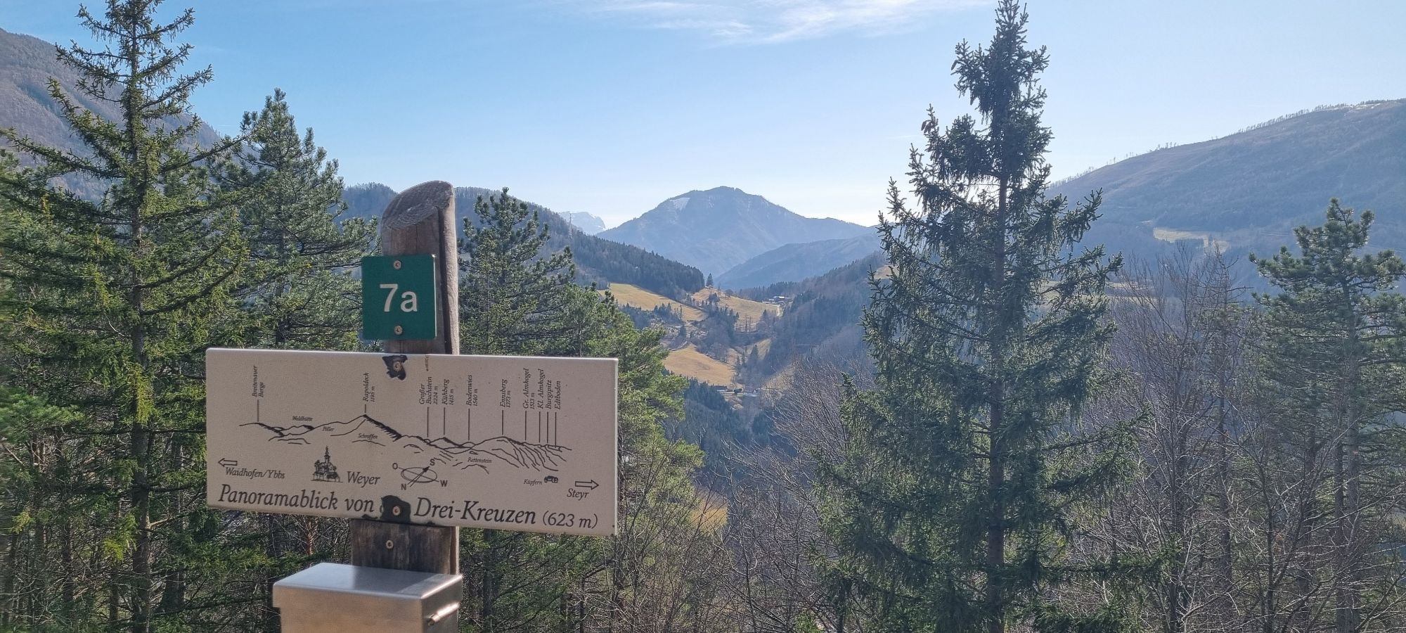
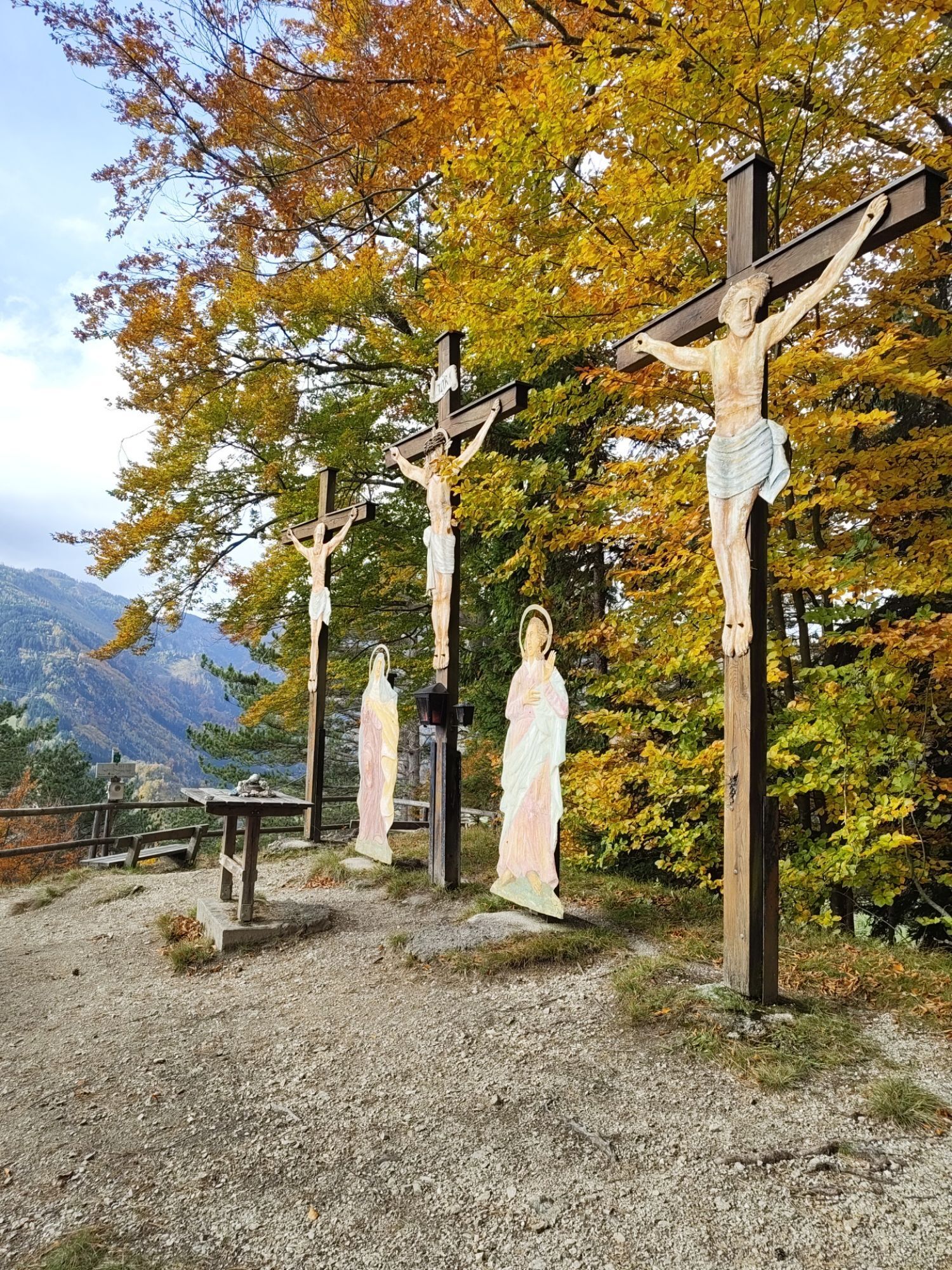
Three Crosses trail (2.6 km): Parking lot – Schmeidl memorial – shelter – nature reserve monument “Three Crosses”


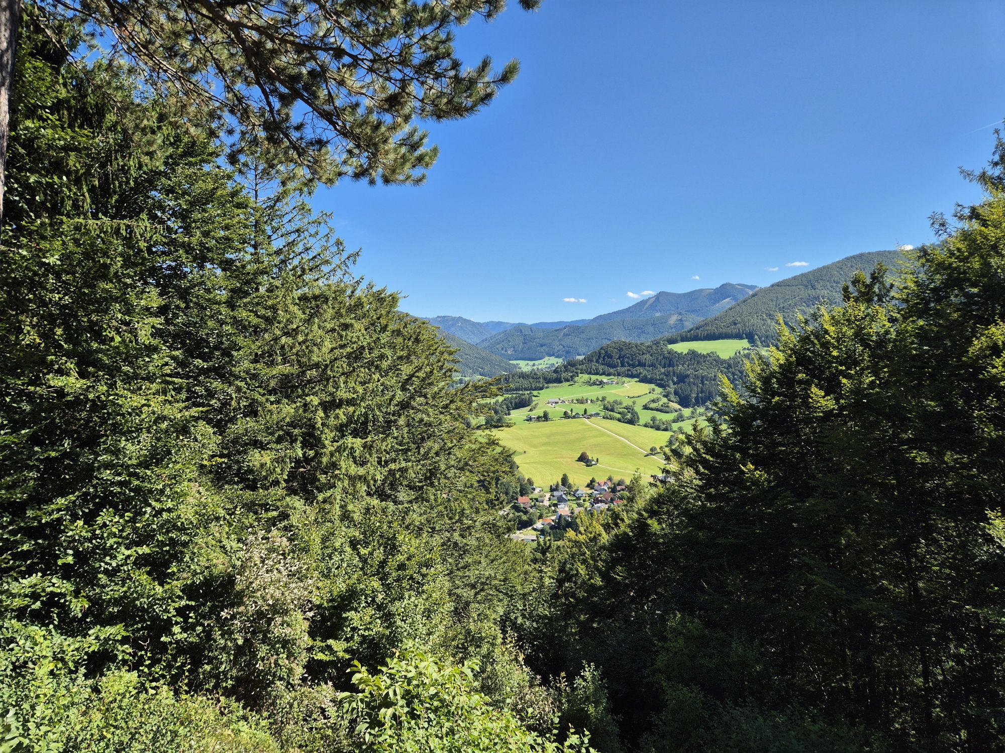
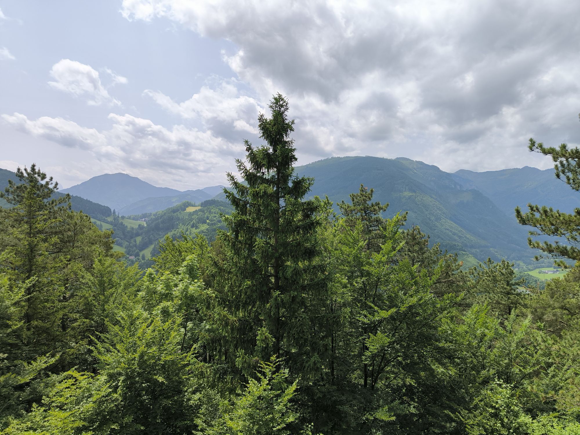
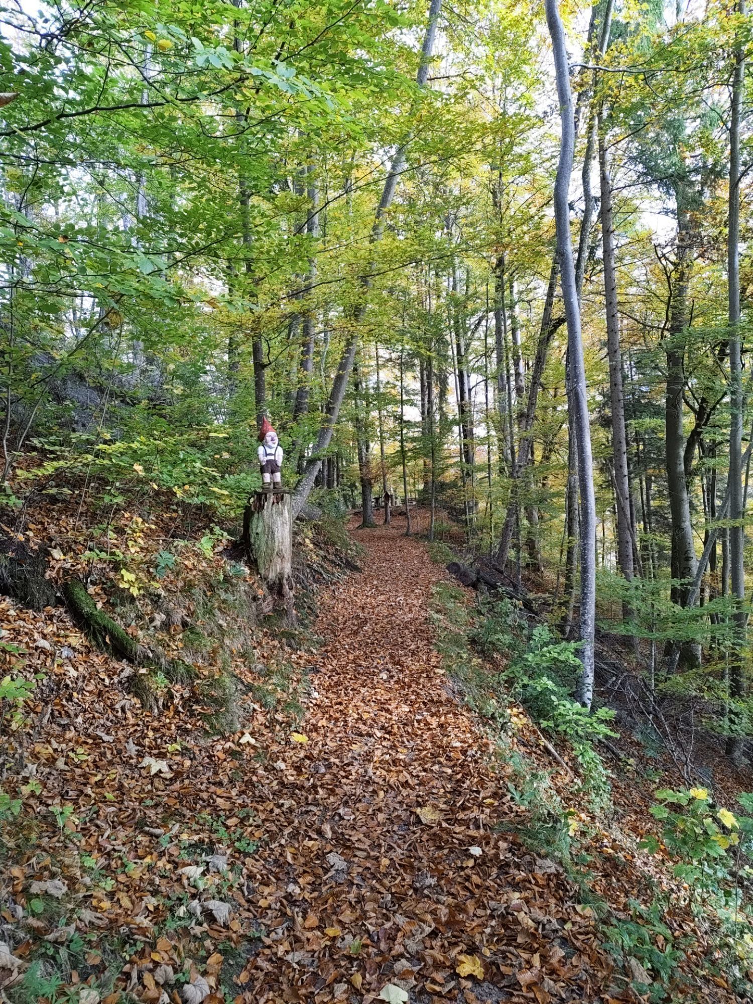
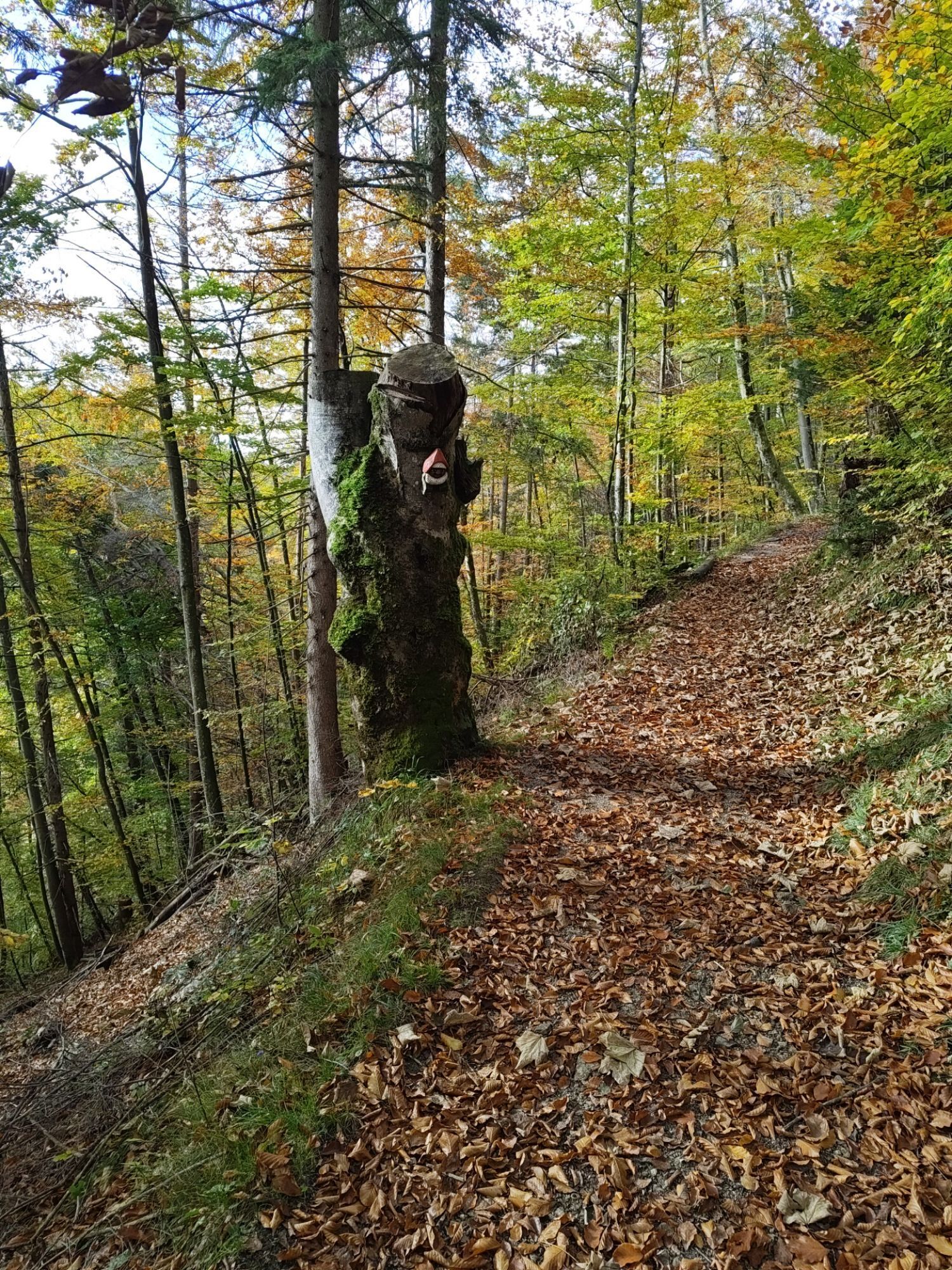
A few meters after the railway underpass, turn right to the entrance (large dwarf). A short ascent to the memorial stone of notary Dr. Friedrich Schmeidl, who actively promoted the creation of the hiking trails on Kreuzberg. The path continues with a gentle incline. At the first intersection, you will see the arrow "Kreuzberg circular trail E20"; you follow similar signposts throughout the hike. Einsiedlerboden offers a rest area; following the "Kreuzberg circular trail E20" sign, you reach the "Adi Seifert bench." From here, the Heiligenstein pilgrimage church is visible. Next comes the shelter, offering a view towards Heiligenstein and the Gaflenz valley towards Waidhofen an der Ybbs. On the way up, there are always wonderful views of Weyer. When you exit the forest, follow a short section of the forest road, pass the nature reserve monument – from here it's about 500 meters to the "Three Crosses" – to Kreuzboden (wood storage area). Attention! Turn sharply right – the signpost is visible. Continue past Rosa-Bründl to the "Gesäuse viewpoint," which invites a short break. From here you can see the Große and Kleine Buchstein and behind them the Hochtor. The hike continues with the forest giving views of Weyer, including Rapoldeck. Via the "H. u. P. Neubauer Way," descend in switchbacks. Upon reaching the forest road, turn left until the signpost "Kreuzberg circular trail E20" or Wittberg trail, and hike through the young forest to Einsiedlerboden and back to the starting point. Variety of trail options in the Kreuzberg nature reserve Market-Commune trail to Gesäuse viewpoint (6.3 km): Kreuzberg parking lot – Gesäuse viewpoint – Mühleck – railway promenade – parking lot Wittberg trail (4 km): Kreuzberg parking lot – Schmeidl memorial – Einsiedlerboden – Wittberg – Baronberg – railway promenade – parking lot Mitter trail (4 km): Parking lot – Schmeidl memorial – Kreuzberg Boden – shelter – parking lot Kreuzberg knights trail (3 km): Walcherberger bridge – Thürbauer – Einsiedlerboden – Schmeidl memorial – parking lot Schmeidl trail (1.5 km): Parking lot – Schmeidl memorial – Thürbauer chapel – railway promenade – parking lot Three Crosses trail (2.6 km): Parking lot – Schmeidl memorial – shelter – nature reserve monument “Three Crosses”
Ja
From Salzburg/Linz: A1 motorway exit Enns-Steyr > B115 into the Enns Valley
From Vienna: A1 motorway exit Haag > B42 > B122 > B115 into the Enns Valley
From Passau: A8 Passau > Wels > A1 motorway exit Enns-Steyr > B115 into the Enns Valley
From Graz: A9 Pyhrnautobahn > motorway exit Klaus > Grünburg > into the Ennstal Valley
The Ennstalbahn runs between Linz and Weißenbach-St. Gallen.
Details at www.ooevv.at
Railway Stations are located in Steyr, Garsten, Lahrndorf, Dürnbach, Ternberg, Trattenbach, Losenstein, Reichraming, Großraming, Gaflenz, Weyer, Küpfern, Kastenreith, Kleinreifling and Weißenbach-St. Gallen.
Weyer/Kreuzberg parking lot near the marketplace
Climate-friendly to the National Park region – Weyer train station: By train, you can reach the starting point for this hike in about 2 hours from Linz and about 2.5 hours from Vienna.
Populære ture i området
-
4.7
Steinerner Jäger (1185m) und Schieferstein (1206m) ab Parkplatz Hochhabichler
MediumVandring 4.46 km -
4.8
Ennser Hut - Almkogel (from Bamacher car park)
MediumVandring 3.53 km -
4.7
GROSSRAMING Bamacher, Burgspitz, Almkogel, Ennshütte 20240730
MediumVandring 10 km -
4.3
Hollenstein Stupfmauer Voralpe Tanzboden retour 20.08.2016
MediumVandring 15.6 km -
4.0
Schieferstein und Steinerner Jäger von Reichraming, Oberösterreich
MediumVandring 3.82 km -
3.8
wanderung auf den alpl
MediumVandring 8.18 km -
4.6
Opponitz Gorge Hiking Trail
MediumVandring 4.42 km -
4.0
Ennser Hütte, Stallburgalm, Burgspitz, Almkogel
MediumVandring 11.6 km -
3.8
Lindaumauer (1103 m)
Vandring 3.40 km -
3.0
Ennser Hut - Almkogel (from Großraming train station)
MediumVandring 9.33 km

Vandring og sporing


Gå ikke glip af tilbud og inspiration til din næste ferie
Din e-mailadresse er blevet tilføjet til mailinglisten.