


The majority of the route leads over the Bestwiger Panoramaweg.
Nuttlar - bike path to Dümel - Dümel level crossing - small level crossing - Ruhr bridge - old sports field - Nassholzlager - Christmas tree...
The majority of the route leads over the Bestwiger Panoramaweg.
Nuttlar - bike path to Dümel - Dümel level crossing - small level crossing - Ruhr bridge - old sports field - Nassholzlager - Christmas tree plantation areas - Kreuzfelsen - Steinbergruine - return journey - detour to the Mariengrotte

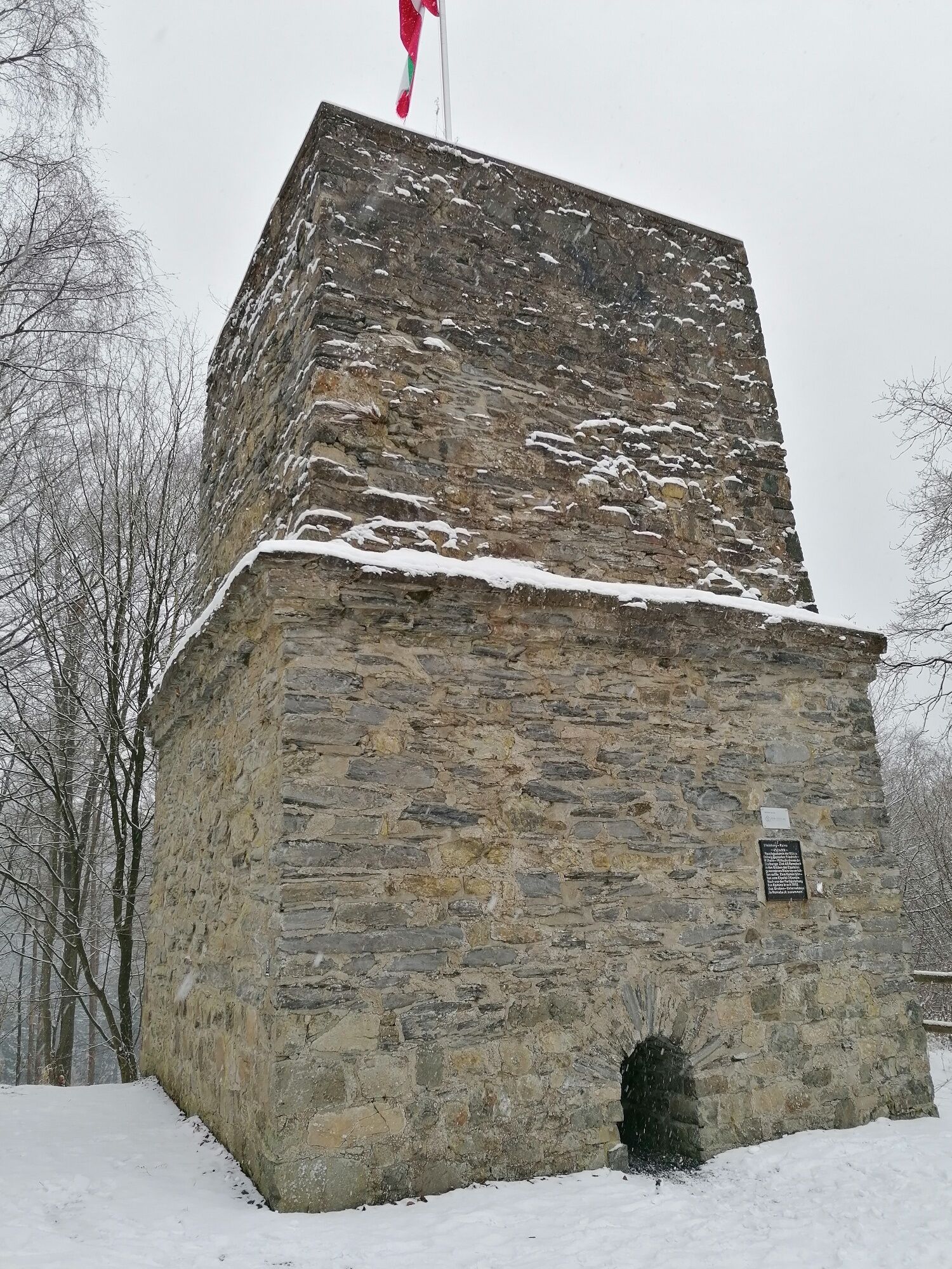
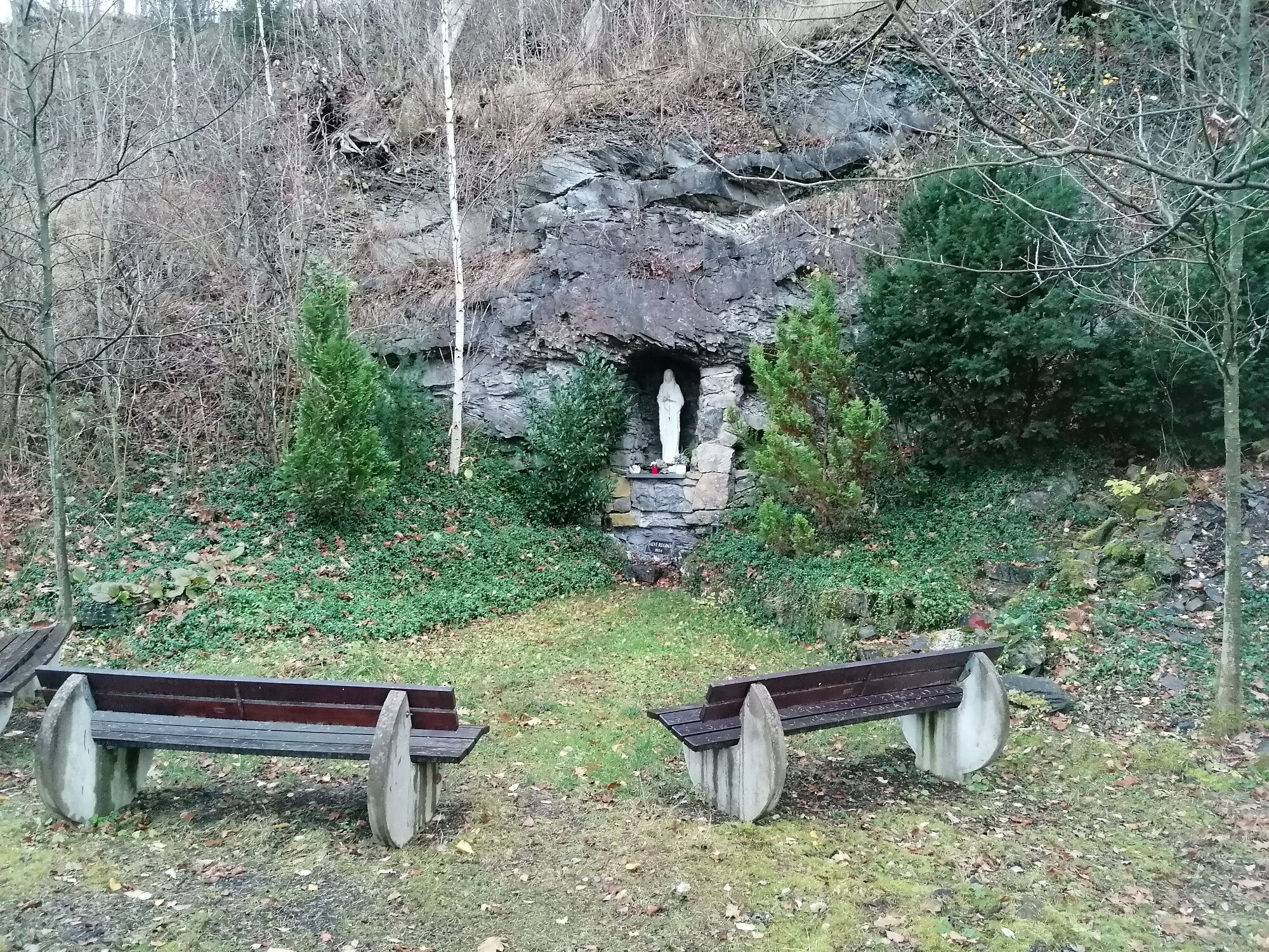
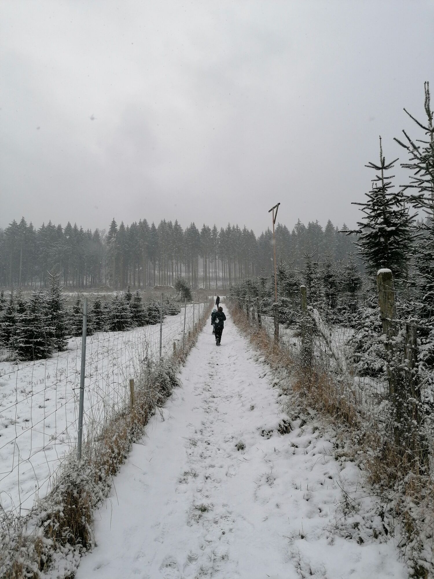
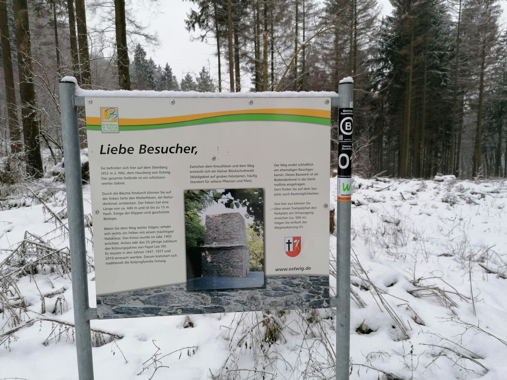
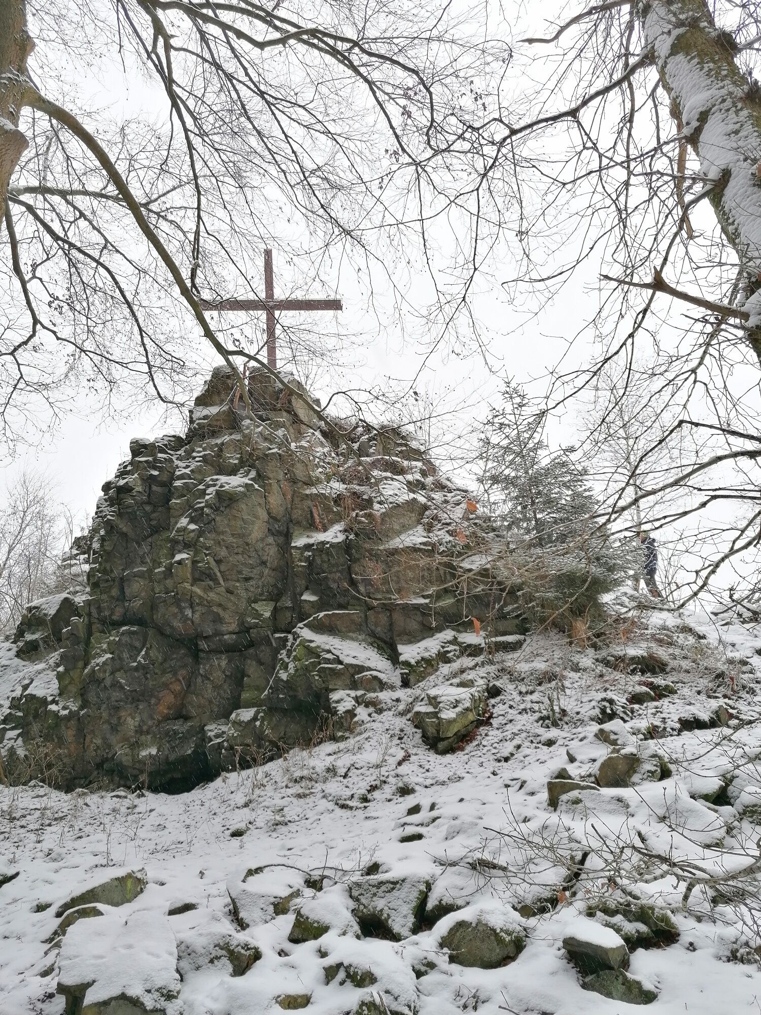
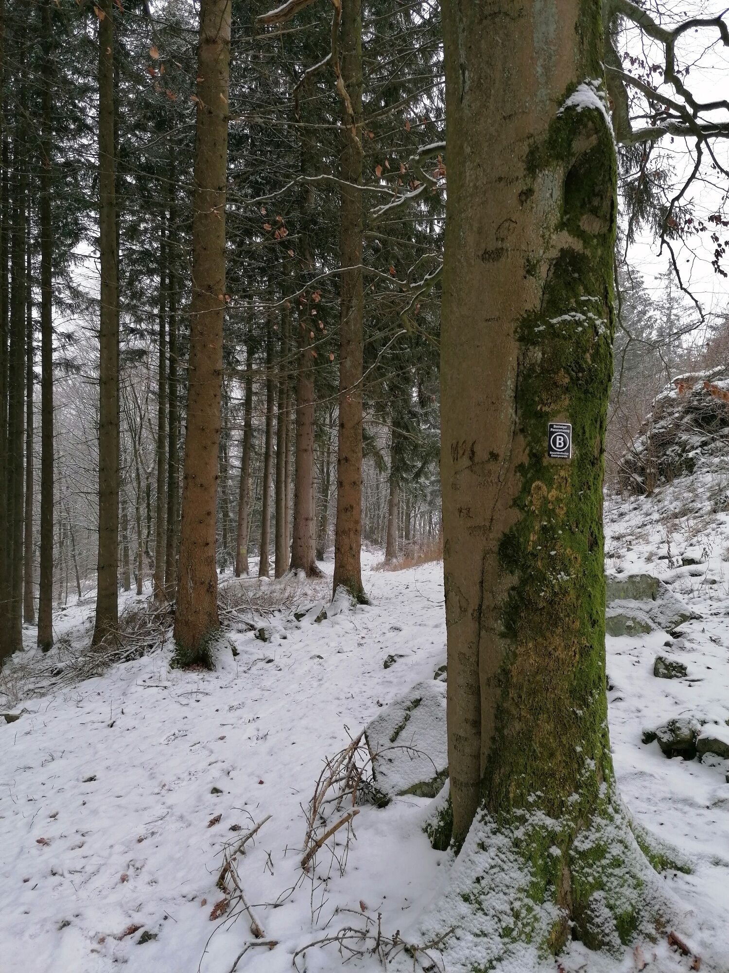
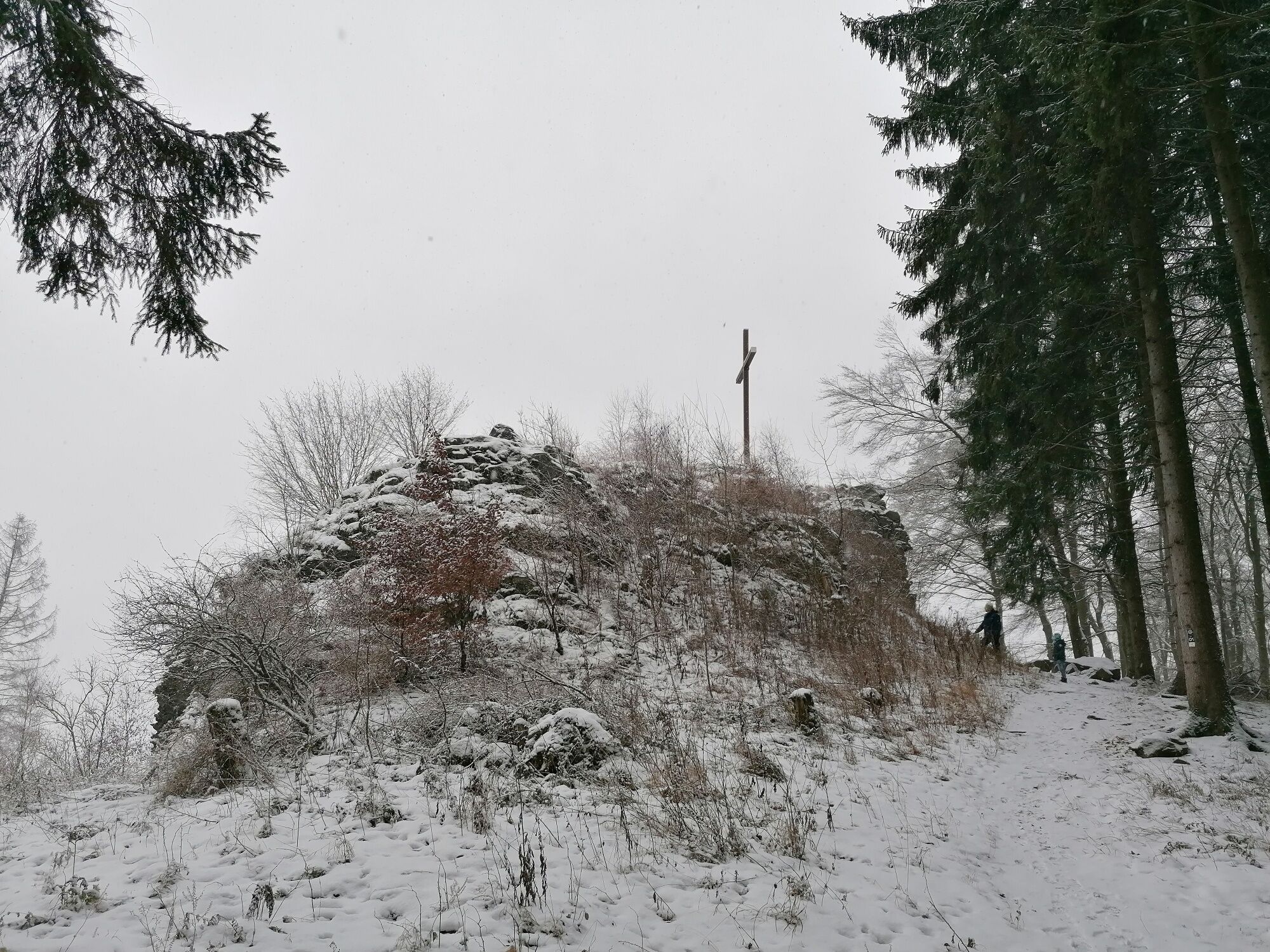
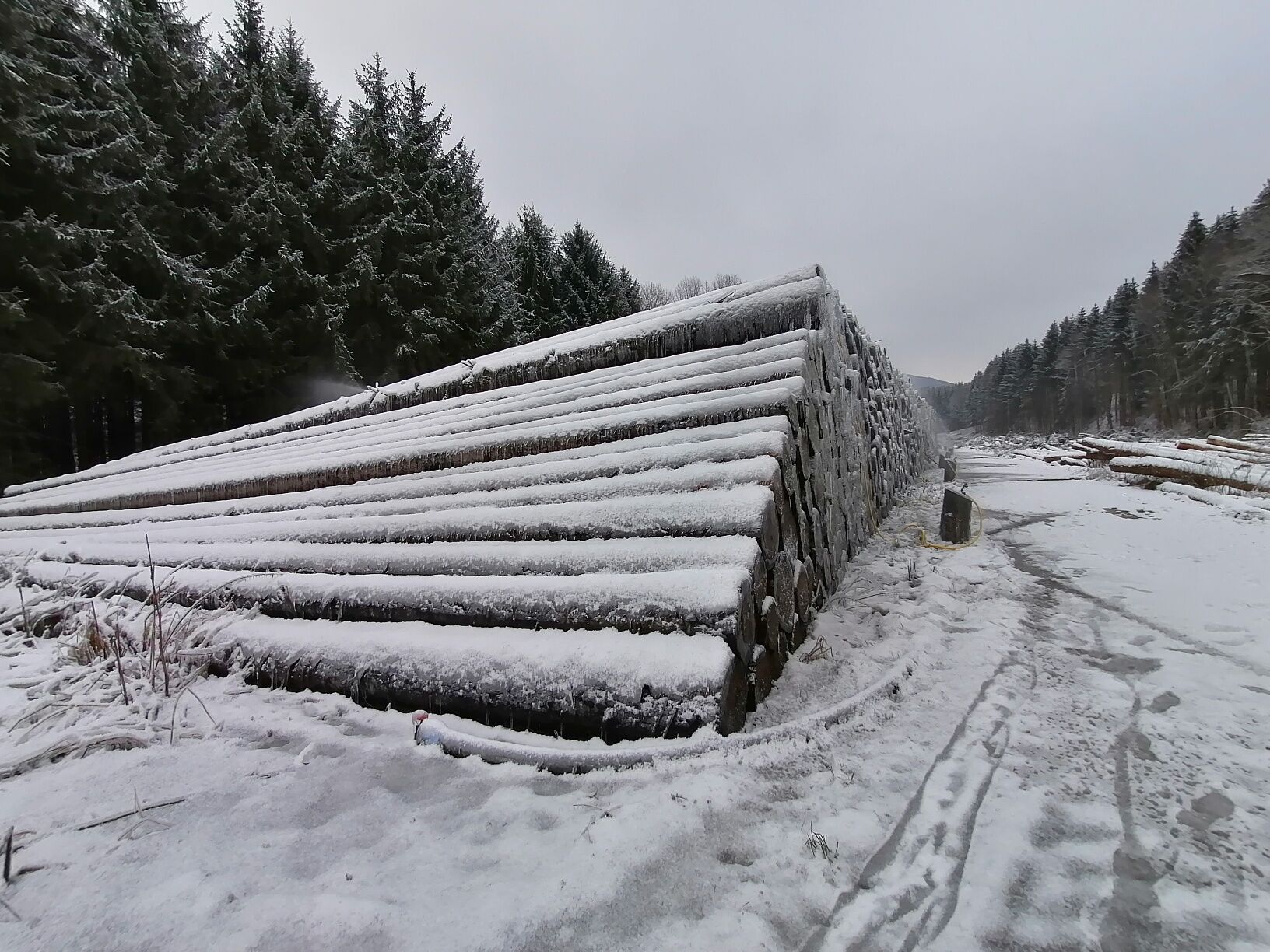
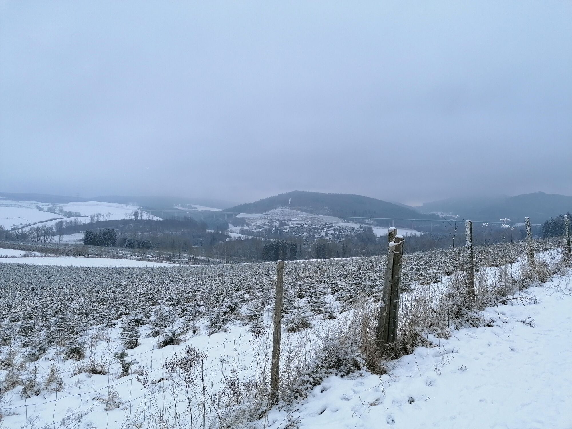
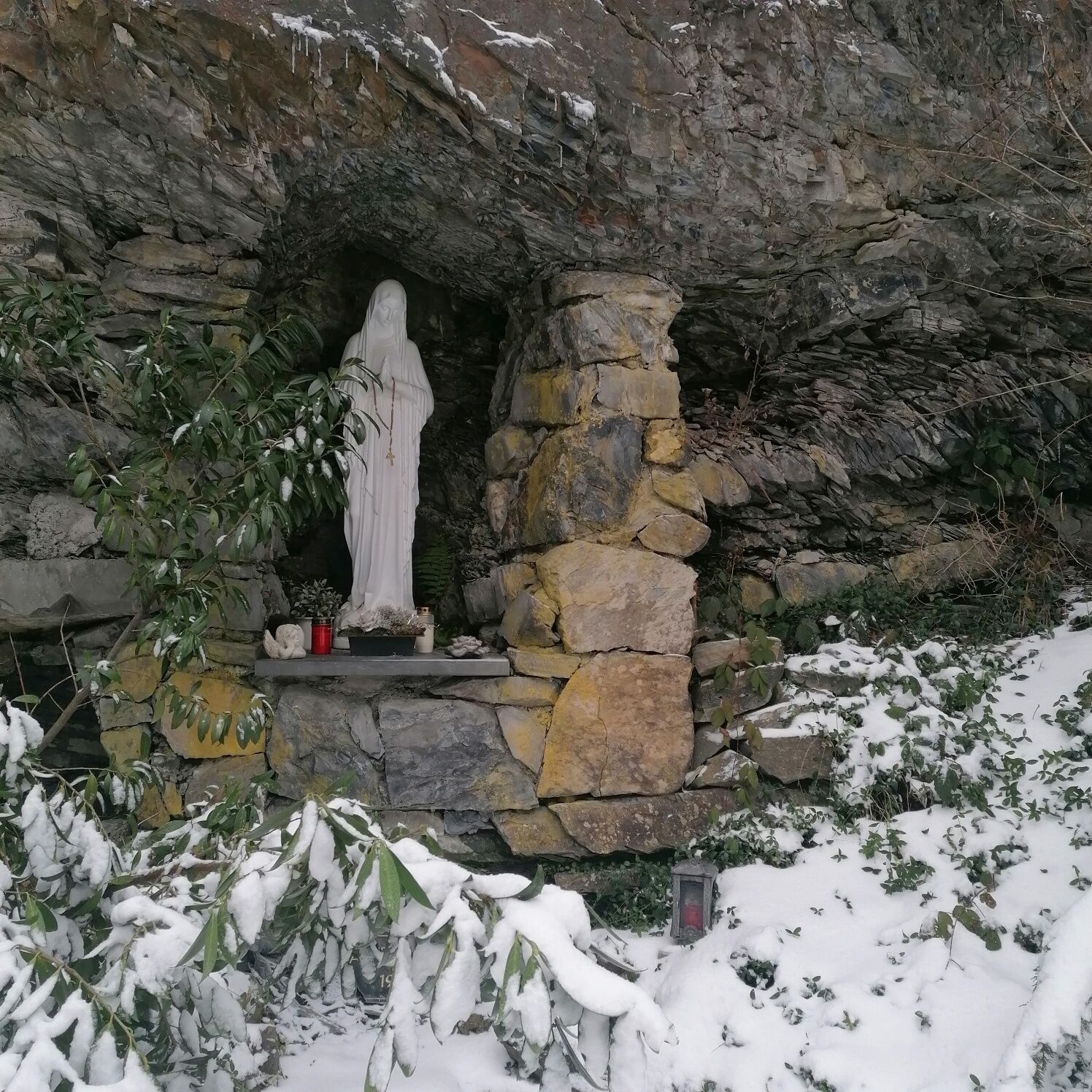
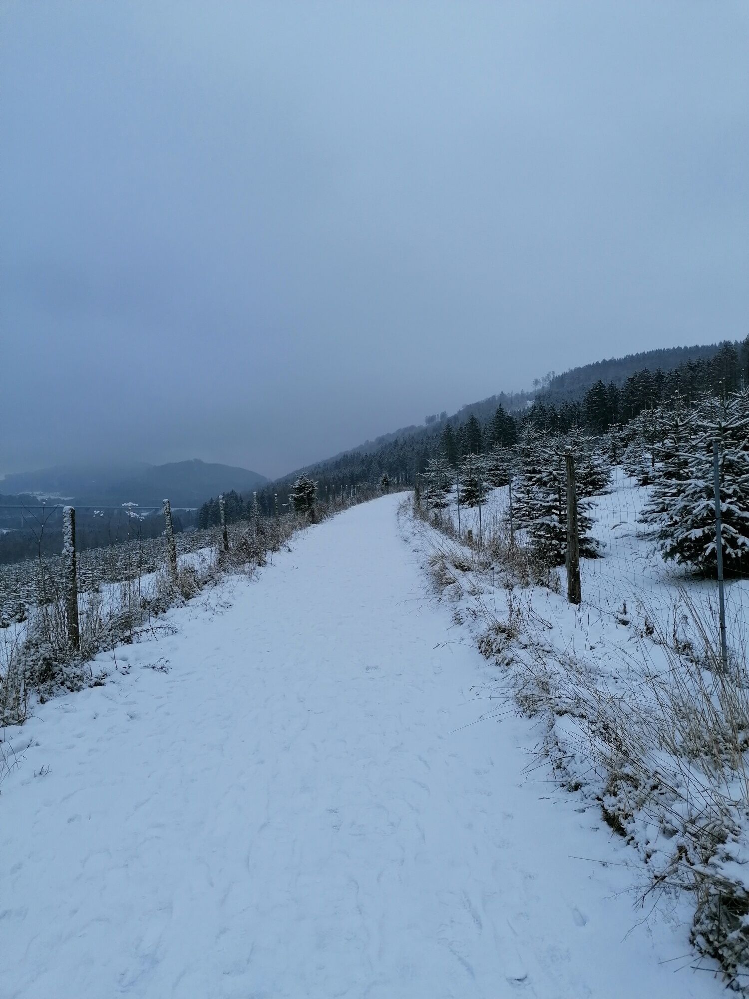
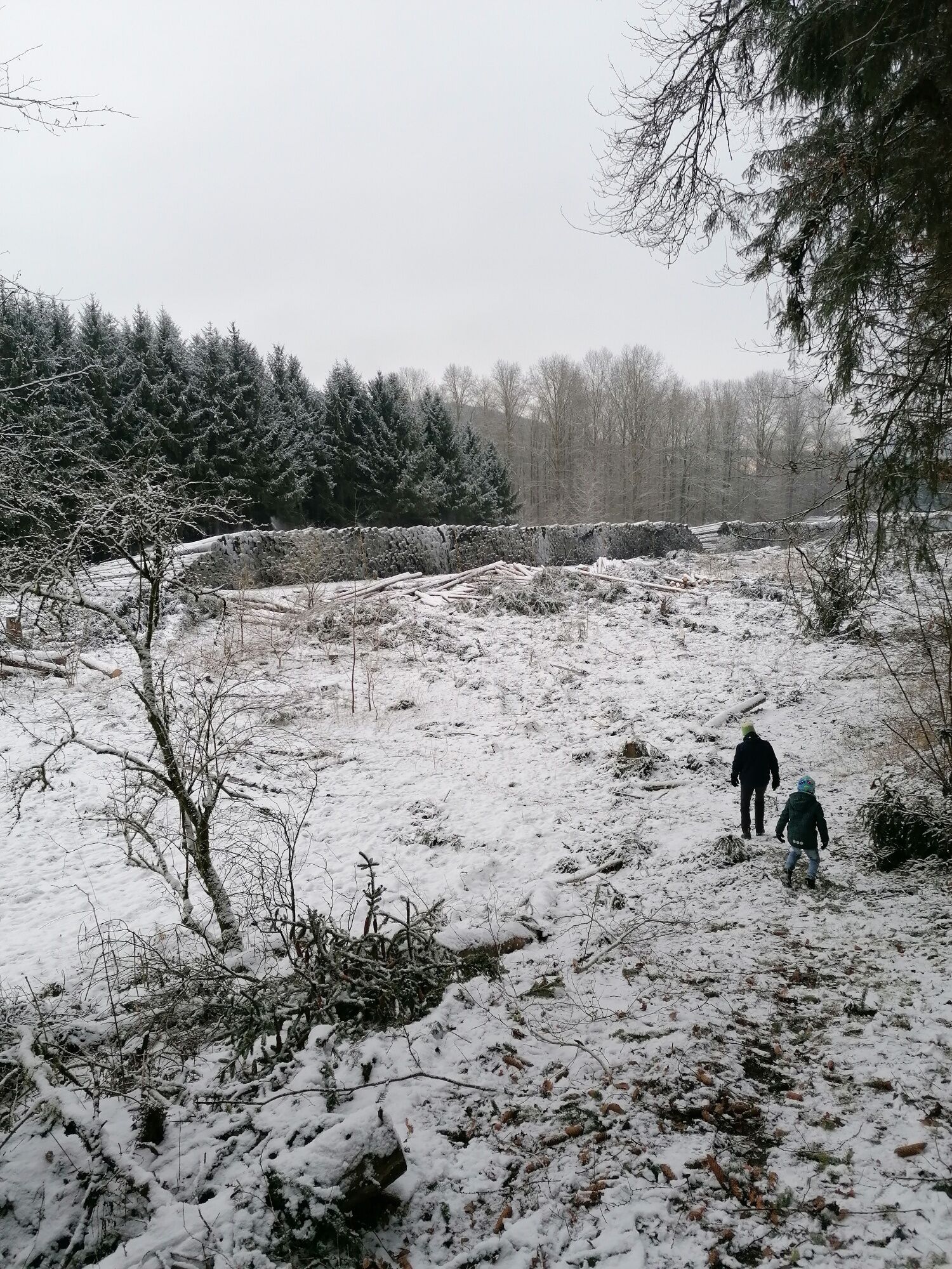
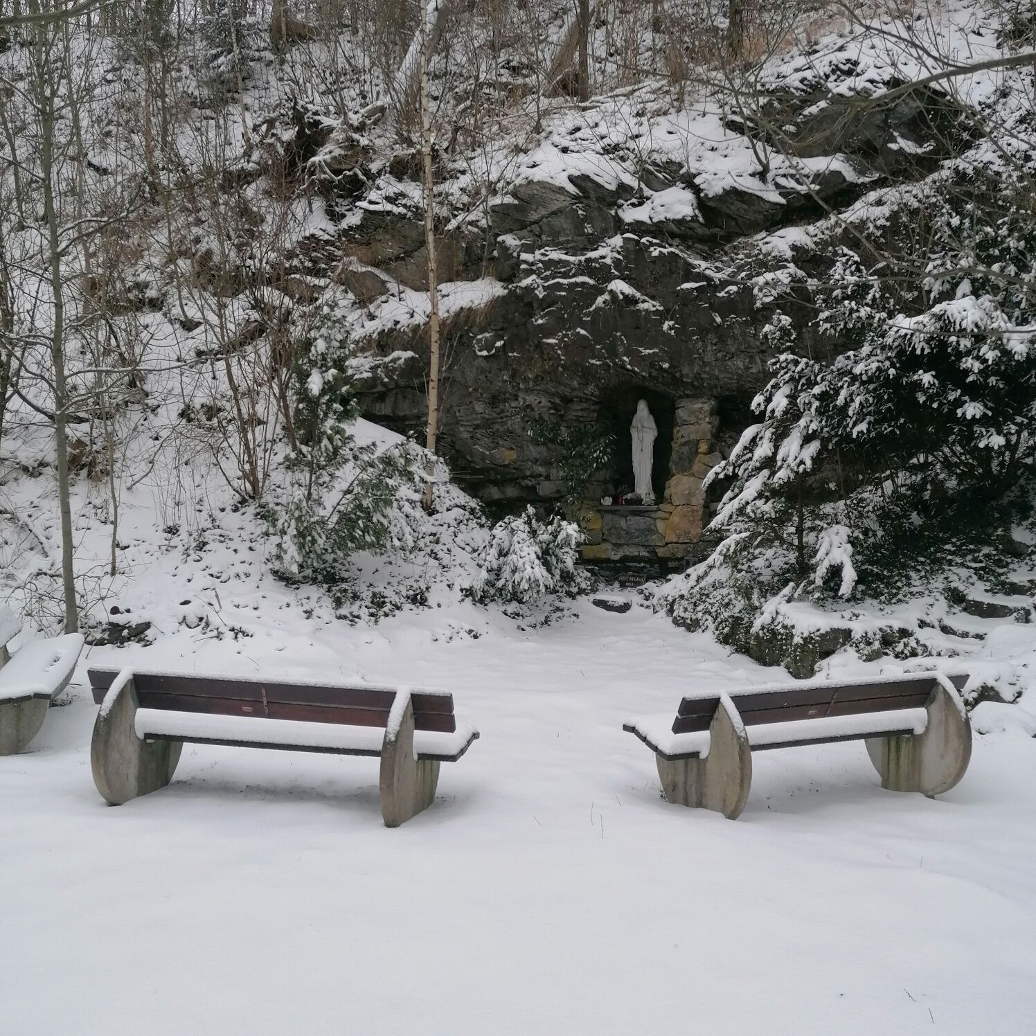
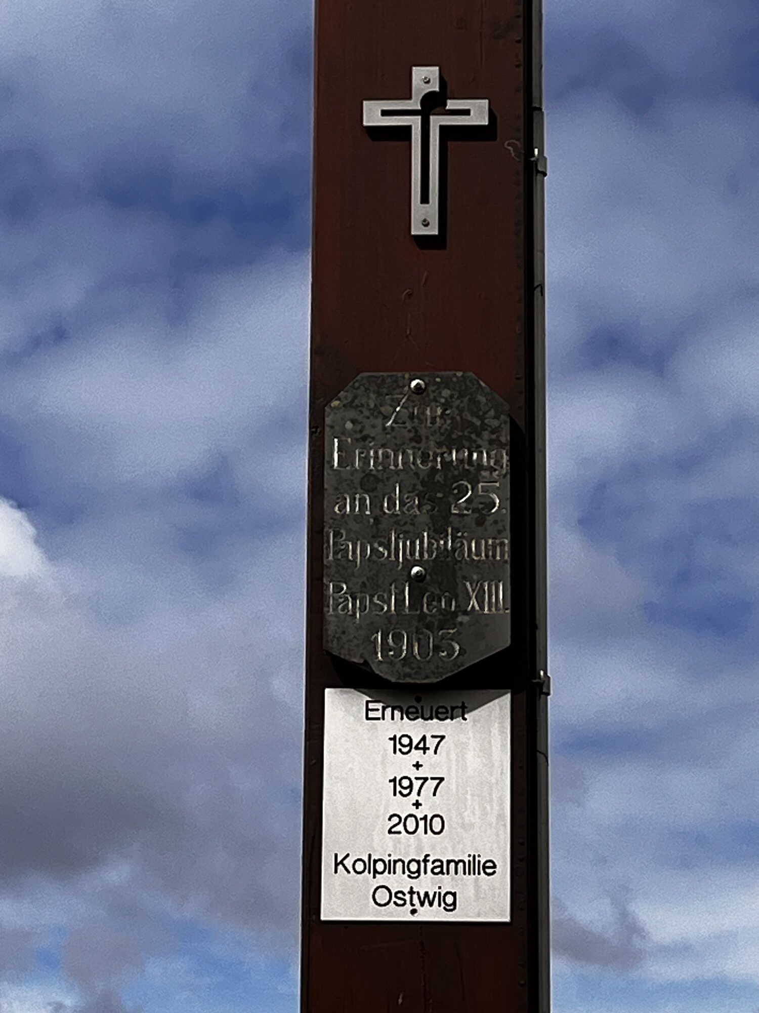
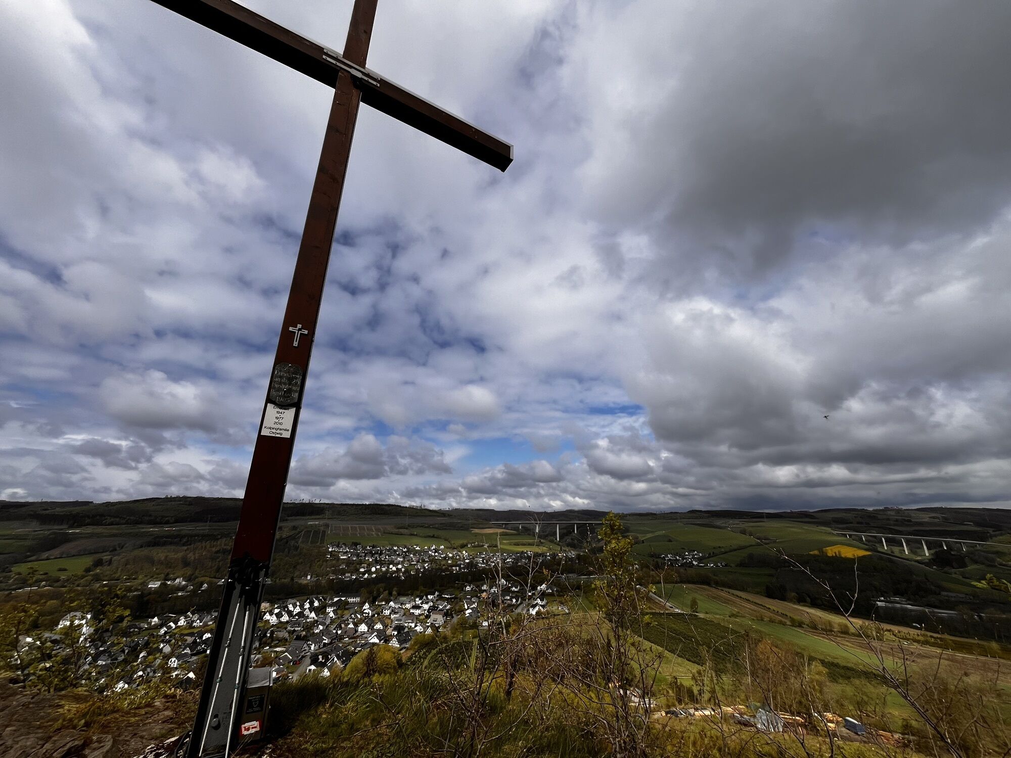
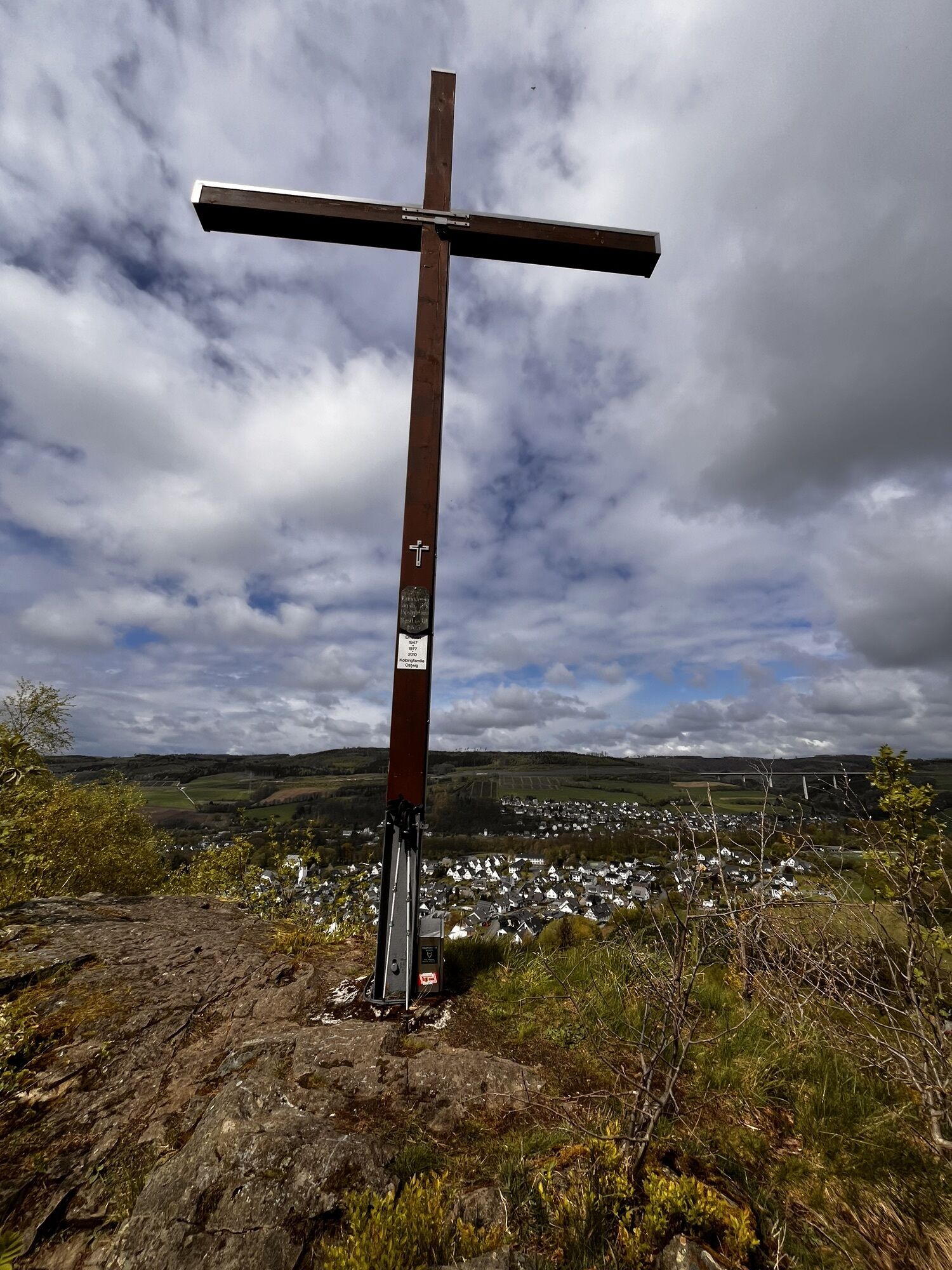
From the center of Nuttlar, head a short distance along the bike and footpath along the railway towards the settlement "Dümel." At the level crossing "Am Dümel," we meet the Bestwiger Panoramaweg marked with (B). Following this, we cross tracks and the B7 road and follow the footpath on the other side of the street slightly downhill. Again, we cross a railway line at a pedestrian crossing. Then it continues over the Ruhr river and across the old football pitch. Past the Nassholzlager, the path runs uphill through a small wooded area. (Beginning of 2021: Beware of forestry work). Afterwards, go right on the farm road towards Ostwig. The path later goes uphill to the left through Christmas tree plantation areas and then right again on a forest path toward Ostwig. At the next crossroads, the Bestwiger Panoramaweg turns sharply left and is now accompanied by the O6. We leave the O6 at the next intersection and turn right with the O1. After a few meters, we pass an information board about the Steinbergruine. From here, it goes right – through the forest following a small path to the cross on the Kreuzberg. Finally, we continue along the path to the destination – the Steinbergruine. You can climb the ruins and enjoy the view over the Ruhr valley. A seating area in front of the Steinbergruine invites you to rest. Afterwards, we take the same path back. From the level crossing at Dümel, however, we do not follow the bike path back to the village but the (B) Bestwiger Panoramaweg on the Dümelskopf. Here you can find the somewhat hidden Mariengrotte, which invites a short prayer. Then continue initially still following the (B) and then down the Königstraße to the left back to the starting point.
Ja
Hiking boots with good grip, weatherproof clothing, possibly provisions for a rest.
We did the hike in winter, but the paths are not cleared. Be careful on ice and snow; it could be slippery.
The hike starts directly at the parking lot in the center of Nuttlar.
Bus stop: Nuttlar, Kirche or Nuttlar, Dümel
Both stops are located very close to the route.
Parking lot in the center of Nuttlar (opposite Metzgerei Fischer), alternatively: parking lot at the parish church St. Anna
At the Steinbergruine, there are tables and benches for a cozy picnic halfway through the hike.
Populære ture i området
-
4.0
Langenberg trail (quality route)
tungVandring 14.6 km -
4.5
Hike to the waterfall
MediumVandring 15.8 km -
Olsberg summit cross tour (Quality route Germany's hiking network) 4th stage Kneipp hiking trail
tungVandring 5.47 km -
Schmalahtal circular route (quality route Walkable Germany)
MediumVandring 8.49 km -
4.0
Willingen (W8)
MediumVandring 12.9 km -
4.7
Bruchhauser Steine B1
MediumVandring 11.8 km -
4.3
Short round around Hennesee
MediumCykling 14.3 km -
4.0
Mining trail in Ramsbeck
MediumTemaspor 9.94 km -
5.0
Rothaarsteig from Brilon to Willingen
tungVandring 25.8 km -
Bestwiger Panoramaweg (B)
MediumLangdistance-vandresti 56.2 km
Vandring og sporing


Gå ikke glip af tilbud og inspiration til din næste ferie
Din e-mailadresse er blevet tilføjet til mailinglisten.