


Billeder af vores brugere
The Pass Chapel circuit is a wonderful, extensive hike in the Wechselland. The start of the route is Kirchberg am Wechsel, where you either start directly in the town center or at the Molzbachhof hotel...
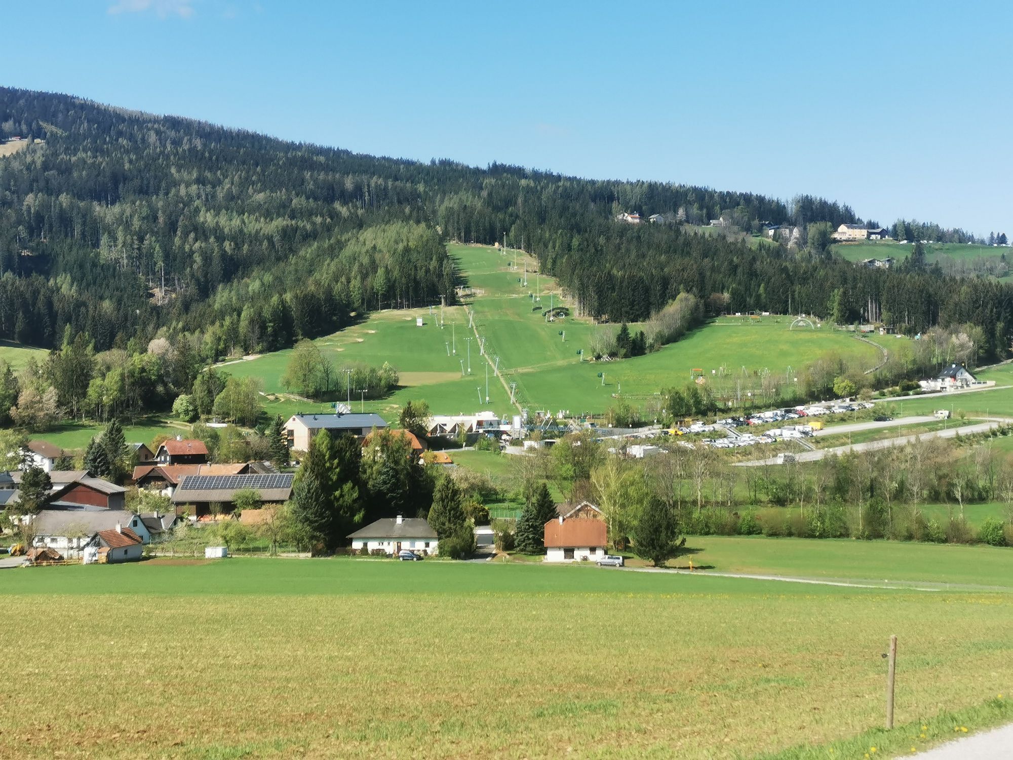
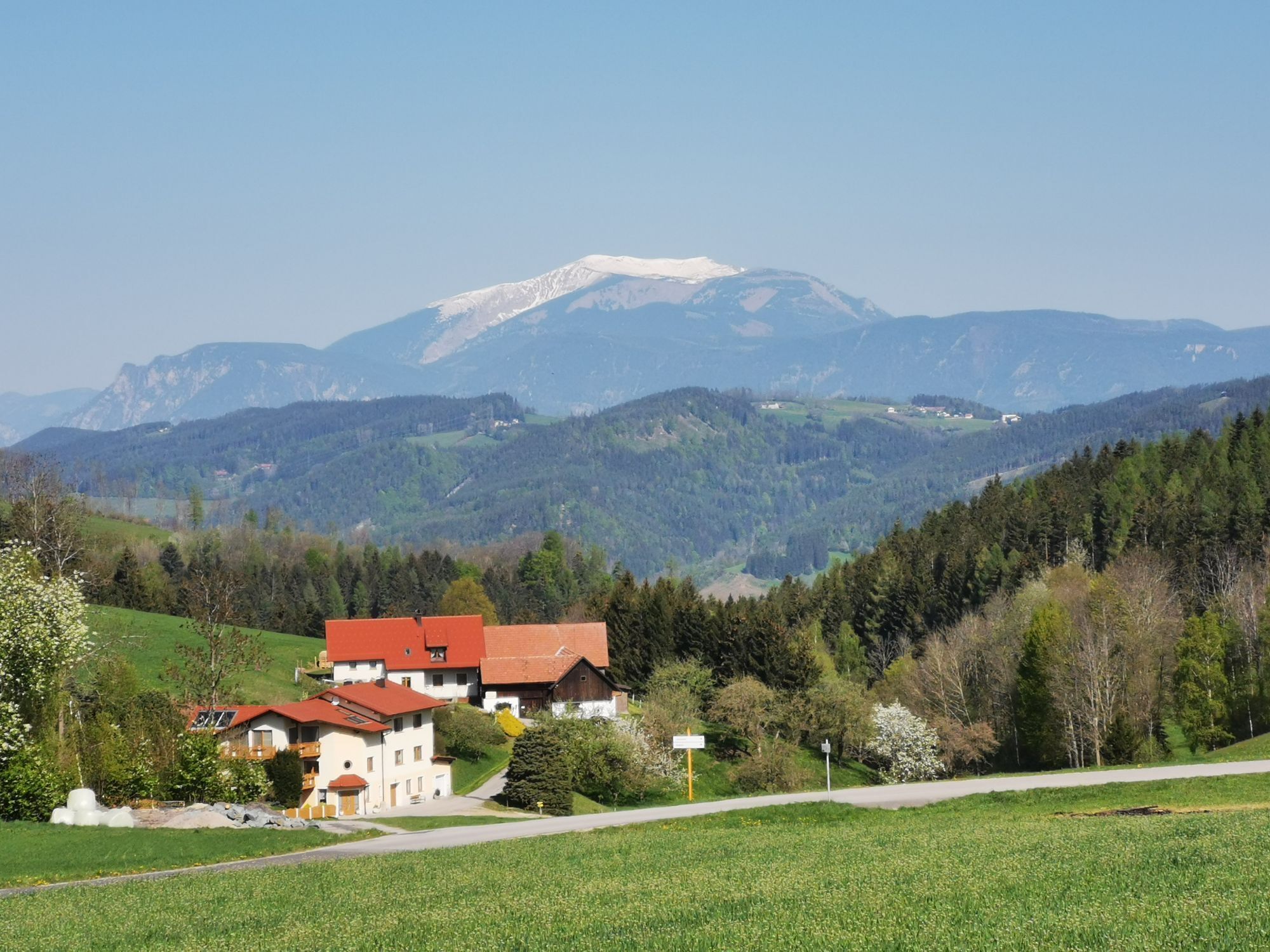
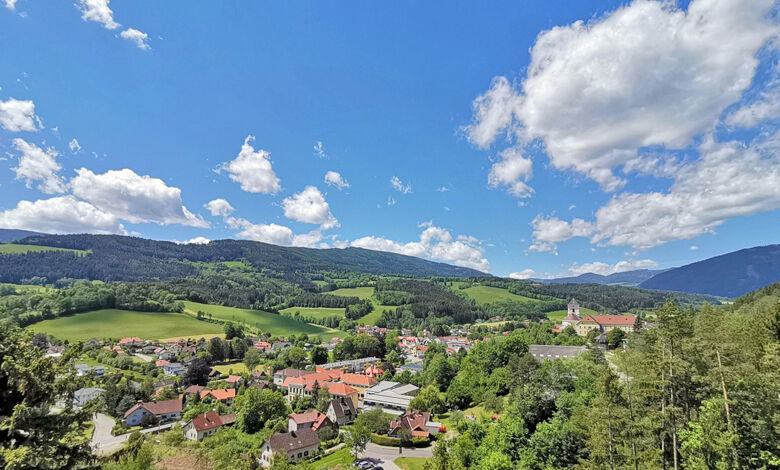
The Pass Chapel circuit is a wonderful, extensive hike in the Wechselland. The start of the route is Kirchberg am Wechsel, where you either start directly in the town center or at the Molzbachhof hotel in the Tratten district. A visit to Kirchberg itself is already worthwhile. There are numerous excursion destinations such as Hermann's Cave, churches, and a monastery, or the Ramswirt with the heaviest breeding bull, as well as inns like Gasthof Grüner Baum, Gasthaus St. Wolfgang, or the Molzbachhof. The Molzbachhof as a hotel offers a special wellness area, a beautiful outdoor area with a paradise garden, and its own mill. The hike to the Pass Chapel leads us over hiking trails and roads into the quiet surroundings of Kirchberg. You hike through small districts like Sachsenbrunn and Wieden up to Unternberg by St. Coronna to the Pass Chapel. After the gentle ascent, it goes downhill again through Allahof and Sellhof to Trattenbach or Kirchberg am Wechsel.

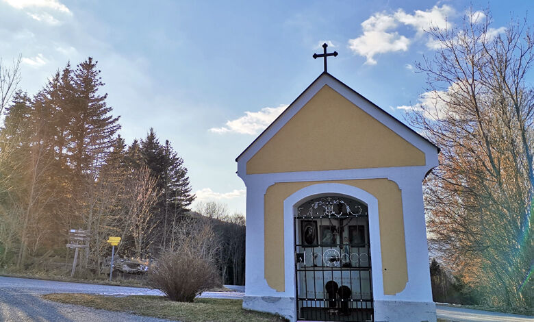
We choose the start of this route either in the town center of Kirchberg or directly at the Molzbachhof in Tratten. We start uphill towards Sachsenbrunn, then turn right onto a path that leads us to Wieden. From there, a detour is currently in place due to forest works. Follow the signs to the right towards St. Corona, then past the church to the right along the main road and immediately left again following the signs to Unternberg. There we meet the path to the Pass Chapel again. (The "Aussen" street leads us straight onto a hiking trail, which we follow straight at the fork along the middle path.) We continue along the path until the paved road and turn left before the village of Unterberg to reach Feistritz am Wechsel street. We follow this, past a farmstead to the Pass Chapel. Here we turn left onto the path and continue until Allahof. There we again get onto a hiking trail which we follow straight without turning. In Geieregg we reach the paved "Aussen" street again, which we follow through Sellhof, Hammerhof, and Am Stein until Kirchberg am Wechsel. To return directly to the Molzbachhof in Tratten, turn left after Am Stein.
Ja
Always bring suitable maps. Wear sturdy shoes adapted to the route, and take sun and rain protection as well as water and a snack. Take your mobile phone and save the mountain rescue emergency number: 140
Your hikes in the Vienna Alps should be a thoroughly pleasant and safe experience. Please therefore observe the following:
Preparation
Make sure when choosing the route that it matches your experience and fitness. Check the weather forecast in advance. The weather in the mountains can change surprisingly quickly. Always set off accordingly equipped (e.g., rain protection).
Check whether the huts and snack stations you want to visit on the way are open. Inform someone about your chosen route and planned return before you start.
Coming from Vienna, take the A2 to the Edlitz exit. Follow the B54 and turn right onto the L134, then continue to Kirchberg am Wechsel.
Take the train via Wr. Neustadt to Gloggnitz station. From there, take bus line 367 to Kirchberg am Wechsel center.
Or via Aspang station by bus to Tratten (bus line 369). In this case, it is recommended to start the route at Unternberg (bus to Unternberg).
More information is available at Route planner VOR AnachB
There are parking spaces available at the Kirchberg municipal office and at the Molzbachhof.
Kirchberg am Wechsel, www.kirchberg-am-wechsel.at
Vienna Alps in Lower Austria, www.wieneralpen.at, +43 / 2622 / 78960
Combine your hike with a stay in Kirchberg am Wechsel. Offers at Molzbachhof or Gasthof Grüner Baum are bookable online!
Webkameraer på turen
Populære ture i området
-
4.3
Schaukelweg
lysTemaspor 3.53 km -
4.6
Mariensee - Wildwasserweg - Marienseer Schwaig
lysVandring 8 km -
4.2
Kummerbauerstadl-Erzkogel-Sonnwendstein-Maria Schutz-Kummerbauerstadl
lysVandring 12.2 km -
4.8
Wild Water Path Mariensee
MediumTemaspor 6.69 km -
5.0
Sonnwendstein Quicky: Gebirgsjägersteig bis Sonnwendstein und Almsteig runter
MediumVandring 8.99 km -
4.3
Türkensturz Rundwanderung
MediumVandring 2.56 km -
4.5
Schanzkapelle - Kleiner Otter - Mitterotter - Großer Otter - Kummerbauerstadl - von Göstritz Göstritz, Niederösterreich
MediumVandring 11.6 km -
3.7
Grosser Otter Runde
lysVandring 11.3 km -
4.3
Sonnwendstein
MediumVandring 9.40 km -
4.6
Milestone path, Seebenstein castle - Türkensturz
tungTemaspor 7.92 km
Vandring og sporing


Gå ikke glip af tilbud og inspiration til din næste ferie
Din e-mailadresse er blevet tilføjet til mailinglisten.