


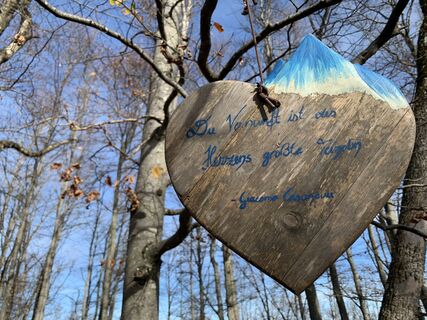
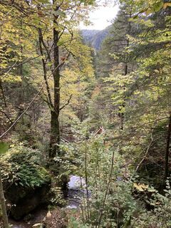
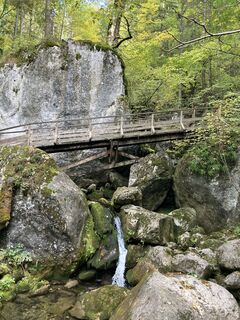
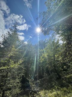
Billeder af vores brugere
-

 © SterOprettet den 07.01.2023
 -

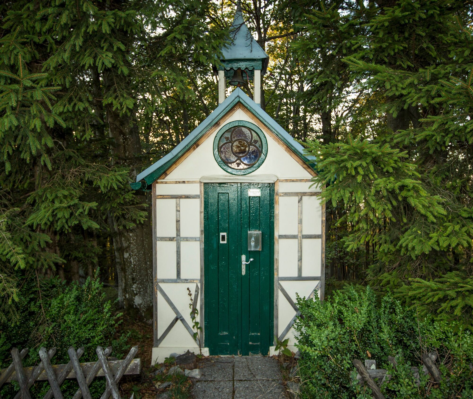
 © Petra RieglerOprettet den 23.10.2022
 -
 © Petra RieglerOprettet den 23.10.2022
 -
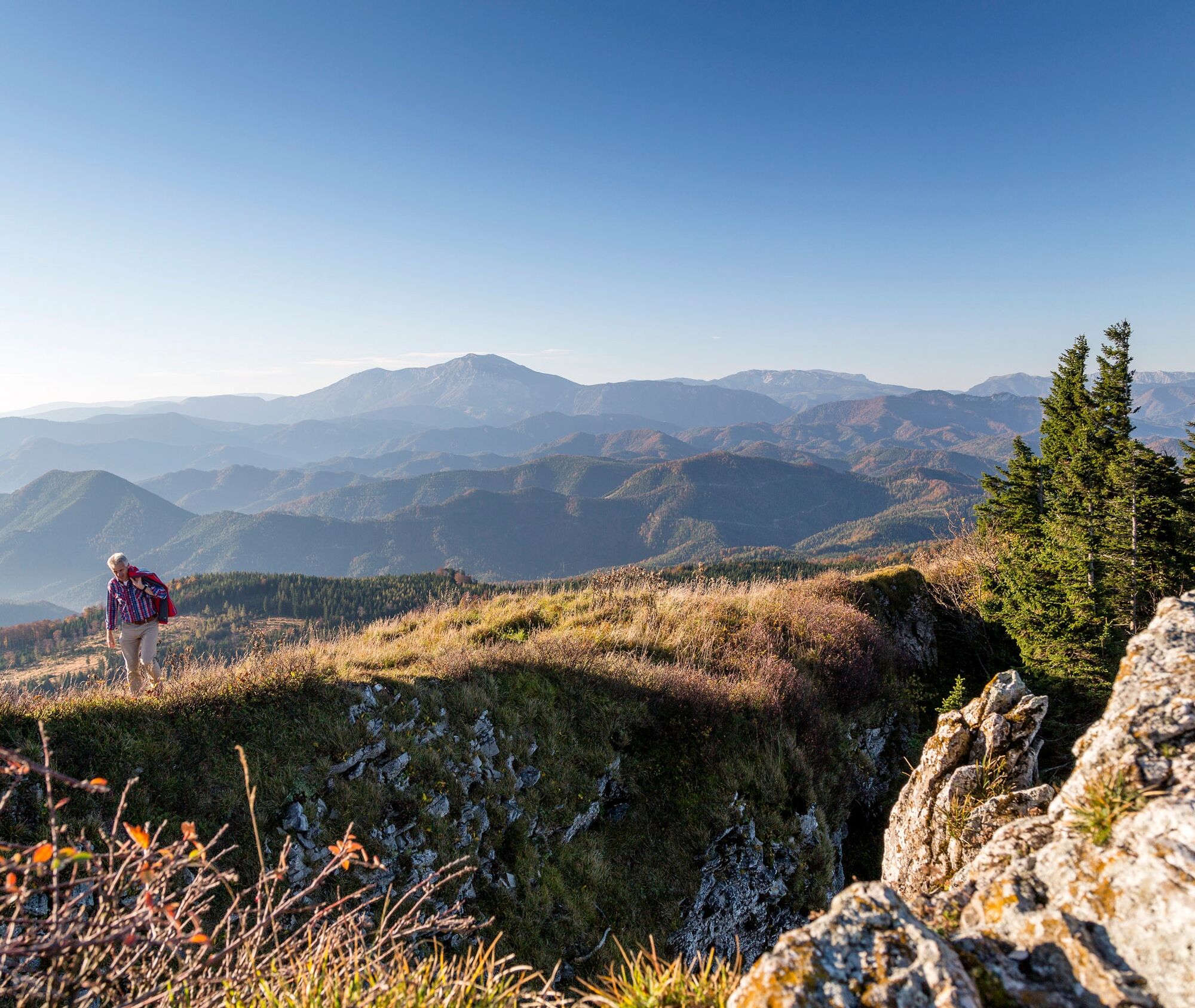
 © Stefan FrabergerOprettet den 03.10.2022
 -
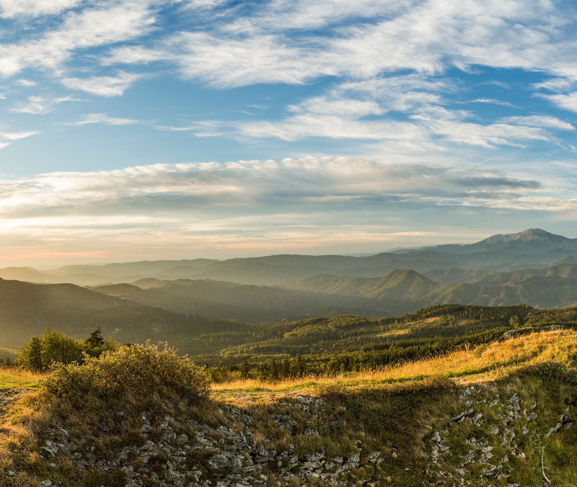
 © Stefan FrabergerOprettet den 03.10.2022
 -
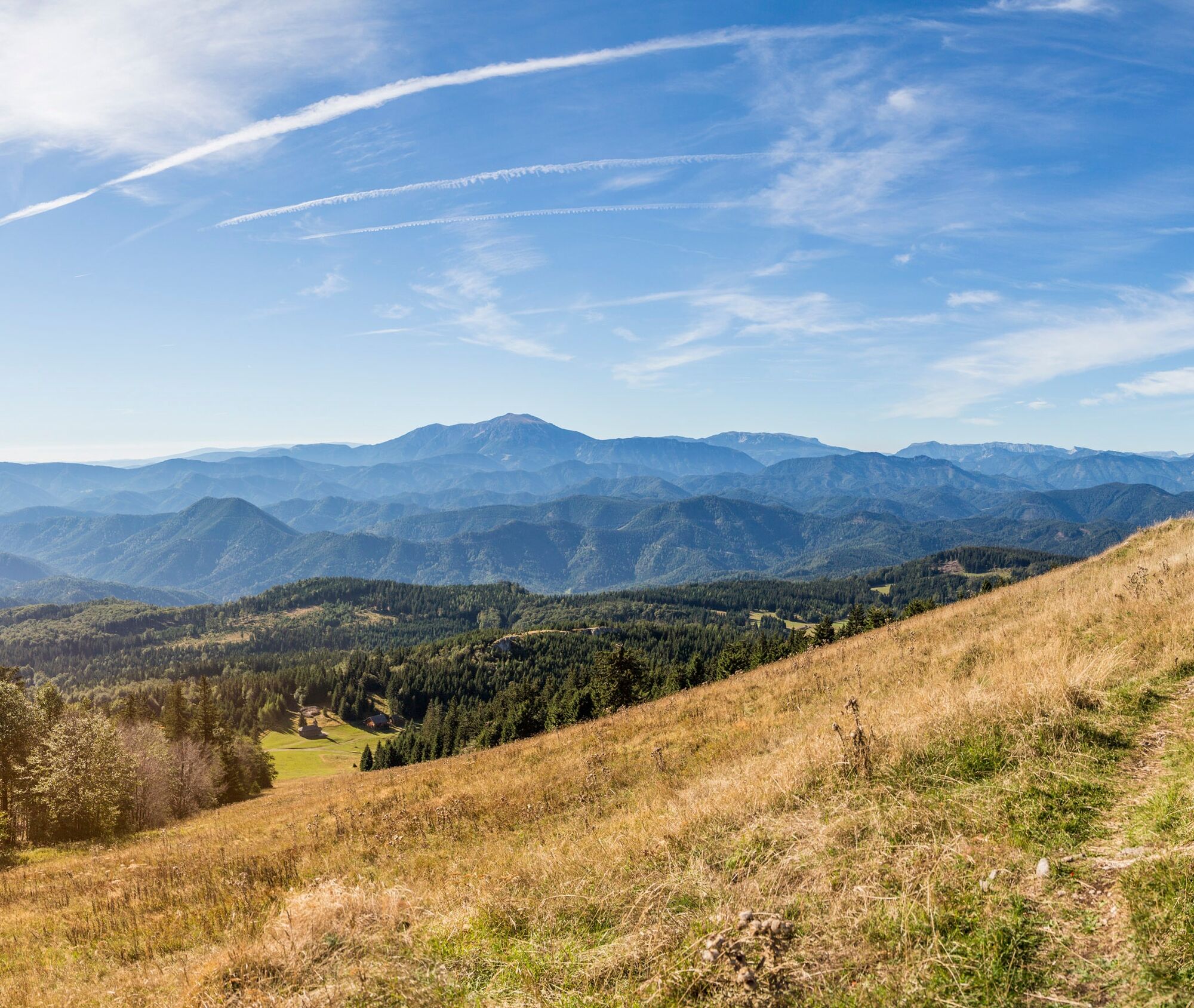
 © Stefan FrabergerOprettet den 03.10.2022
 -
 © Andreas GramselOprettet den 25.09.2022
 -
 © Andreas GramselOprettet den 25.09.2022
 -
 © Andreas GramselOprettet den 25.09.2022


This route starts with a tourist highlight of the region - the Myra Falls - and later leads ever deeper into the remote areas of the Gutenstein Alps. You hike as if through a wonderful sea of scenic forested...
This route starts with a tourist highlight of the region - the Myra Falls - and later leads ever deeper into the remote areas of the Gutenstein Alps. You hike as if through a wonderful sea of scenic forested mountains, interspersed with landscape features and legendary views, e.g., from Kieneck or the fabled Unterberg. At the core of this route is the solitude of the mountainous forest landscape and the pioneering achievement of its development. A completely unforeseen facet of the Vienna Alps.
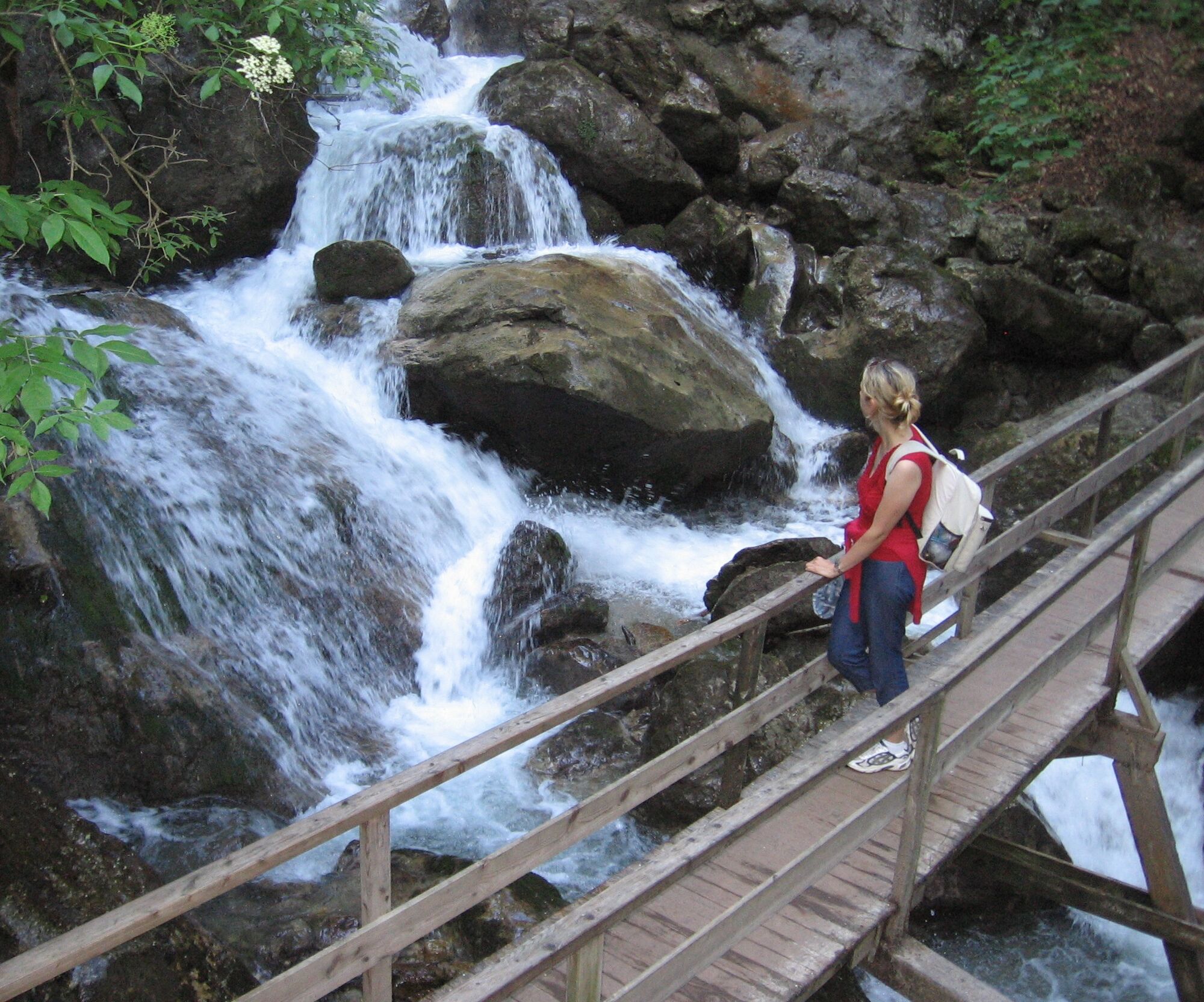
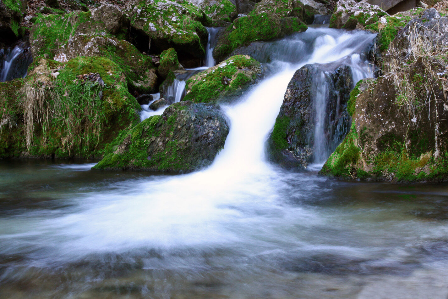
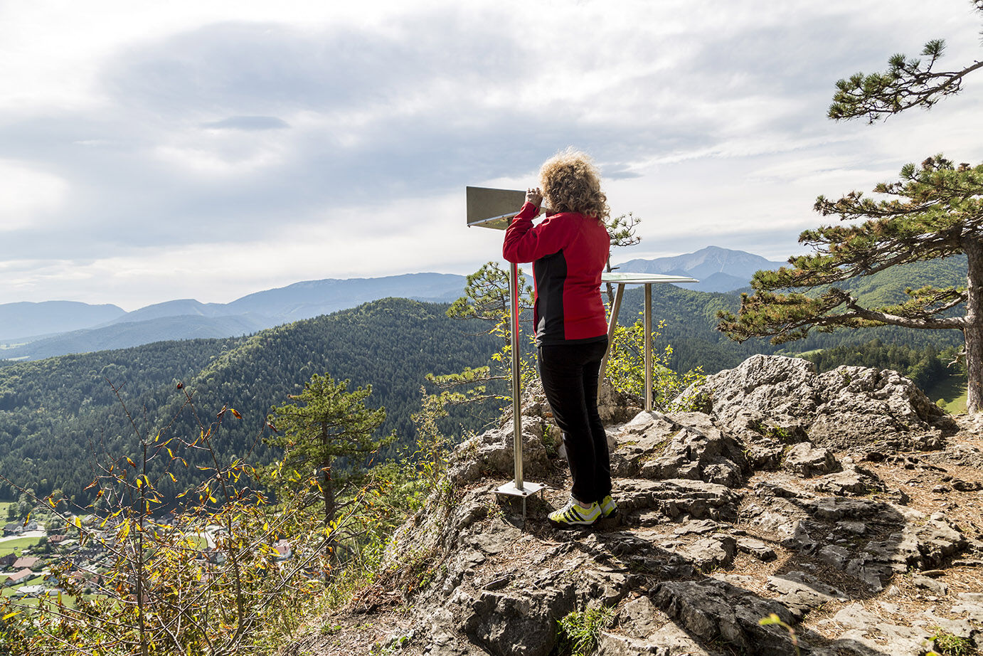
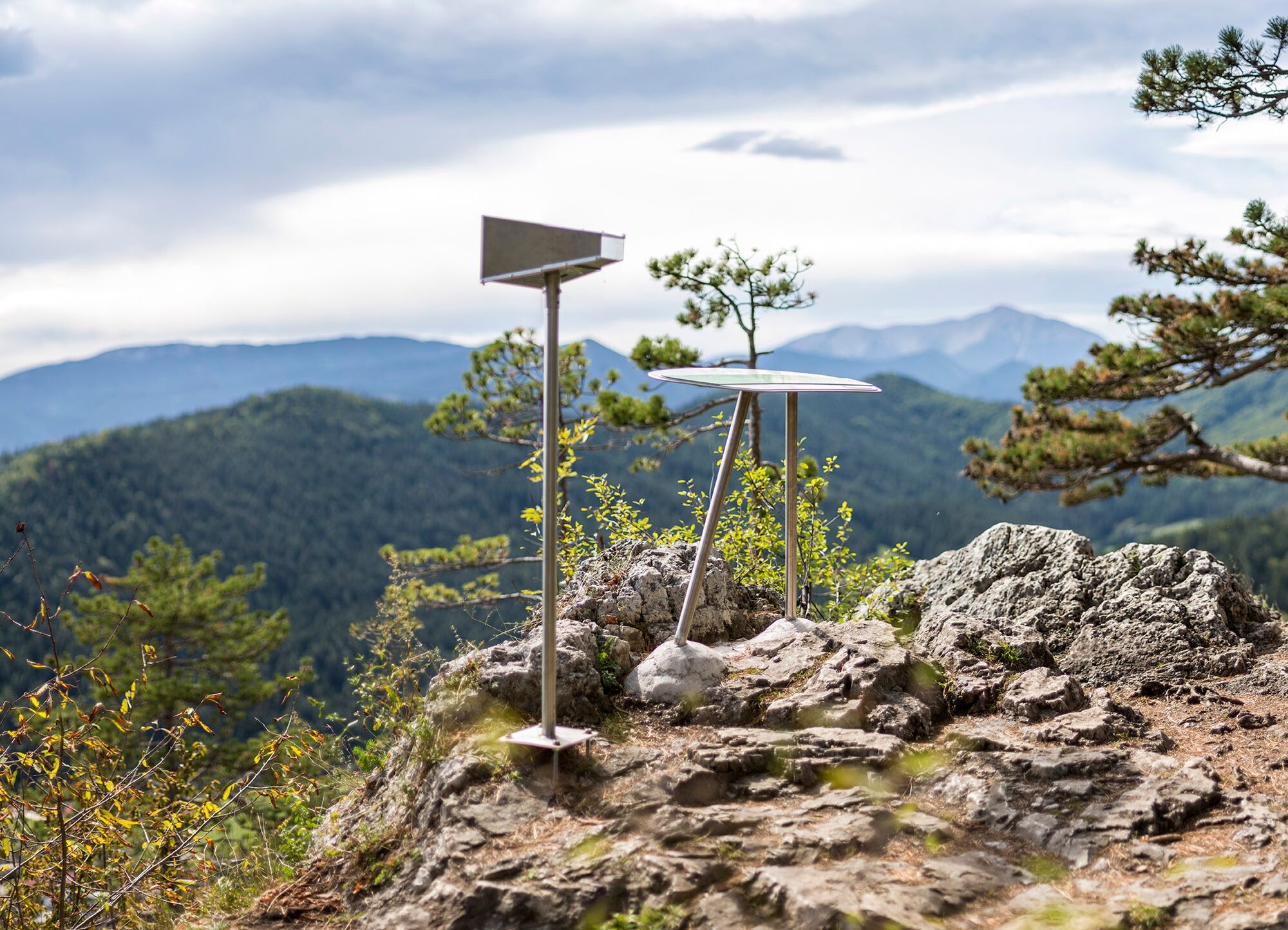
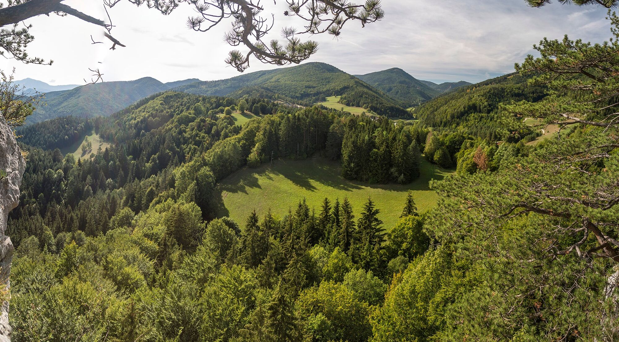
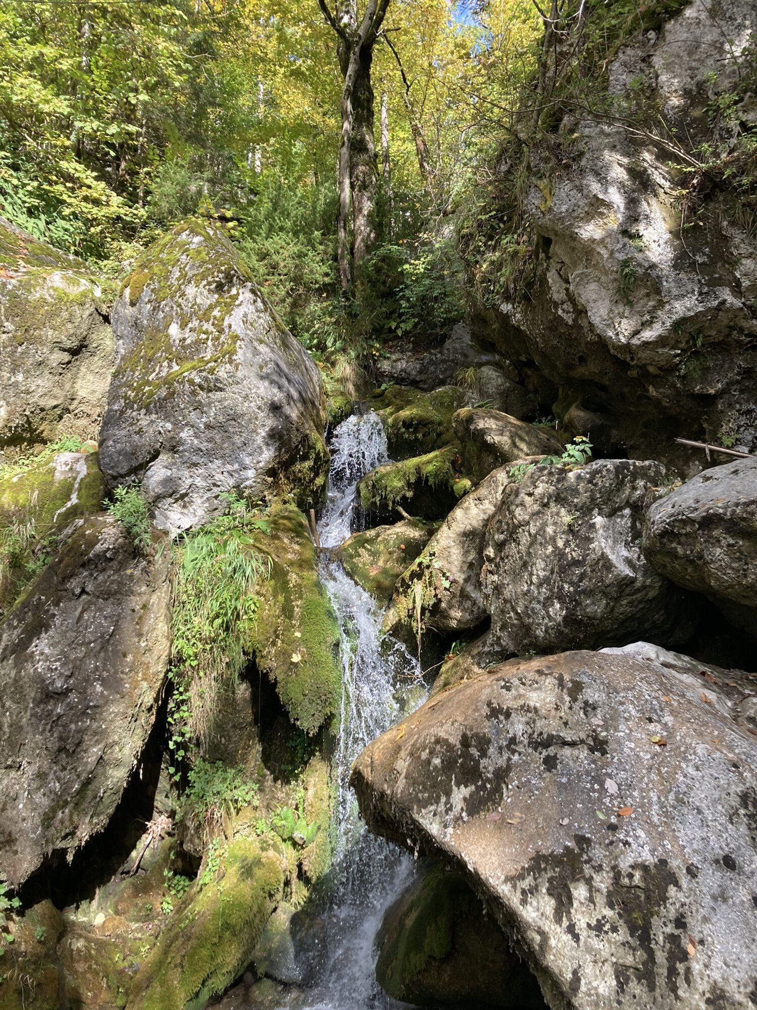
We start the hiking route on the Regional Route T at the Myra Falls in Muggendorf. The conservation fee as an entrance charge is €5 for adults and €1.50 for children. We follow the cascades of the Myra Falls over footbridges and stairs and enjoy the natural monument in its full splendor. At the upper end of the wild waterfalls, signposts lead us away from the water to the Vienna Alpine Arc, and we ascend left to the Hausstein meadow. A detour to the Hausstein viewpoint lets our gaze wander as far as the Schneeberg.
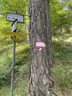
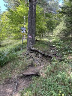
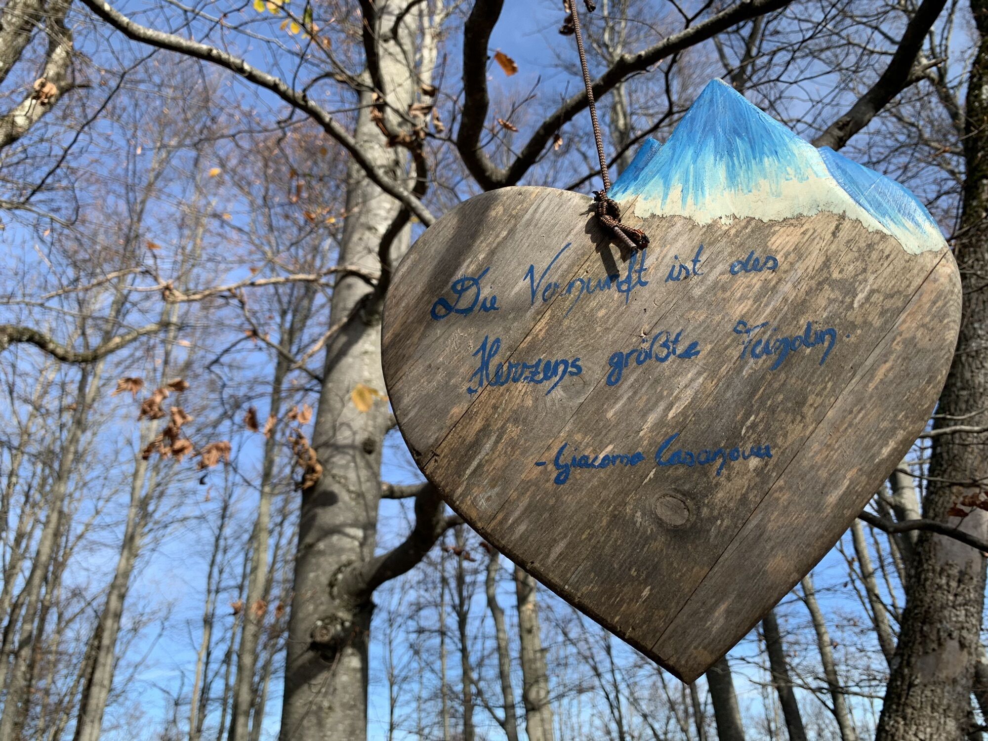
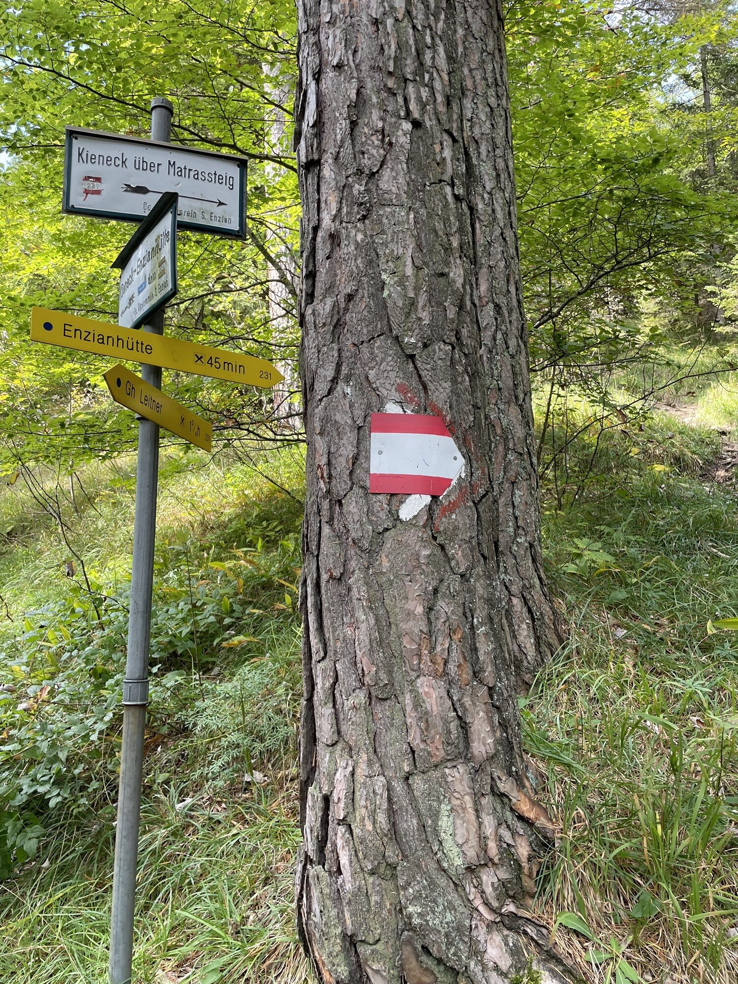
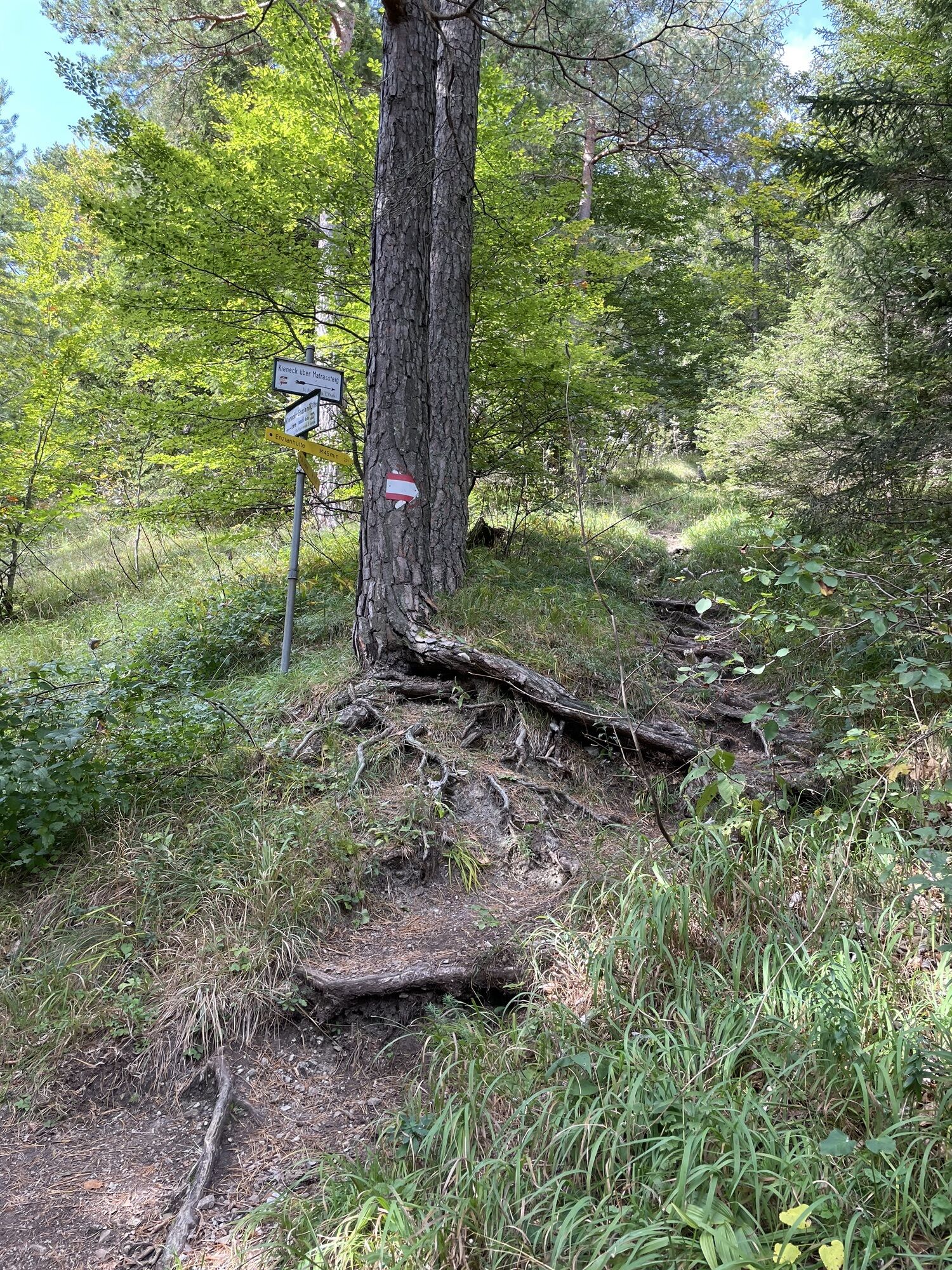
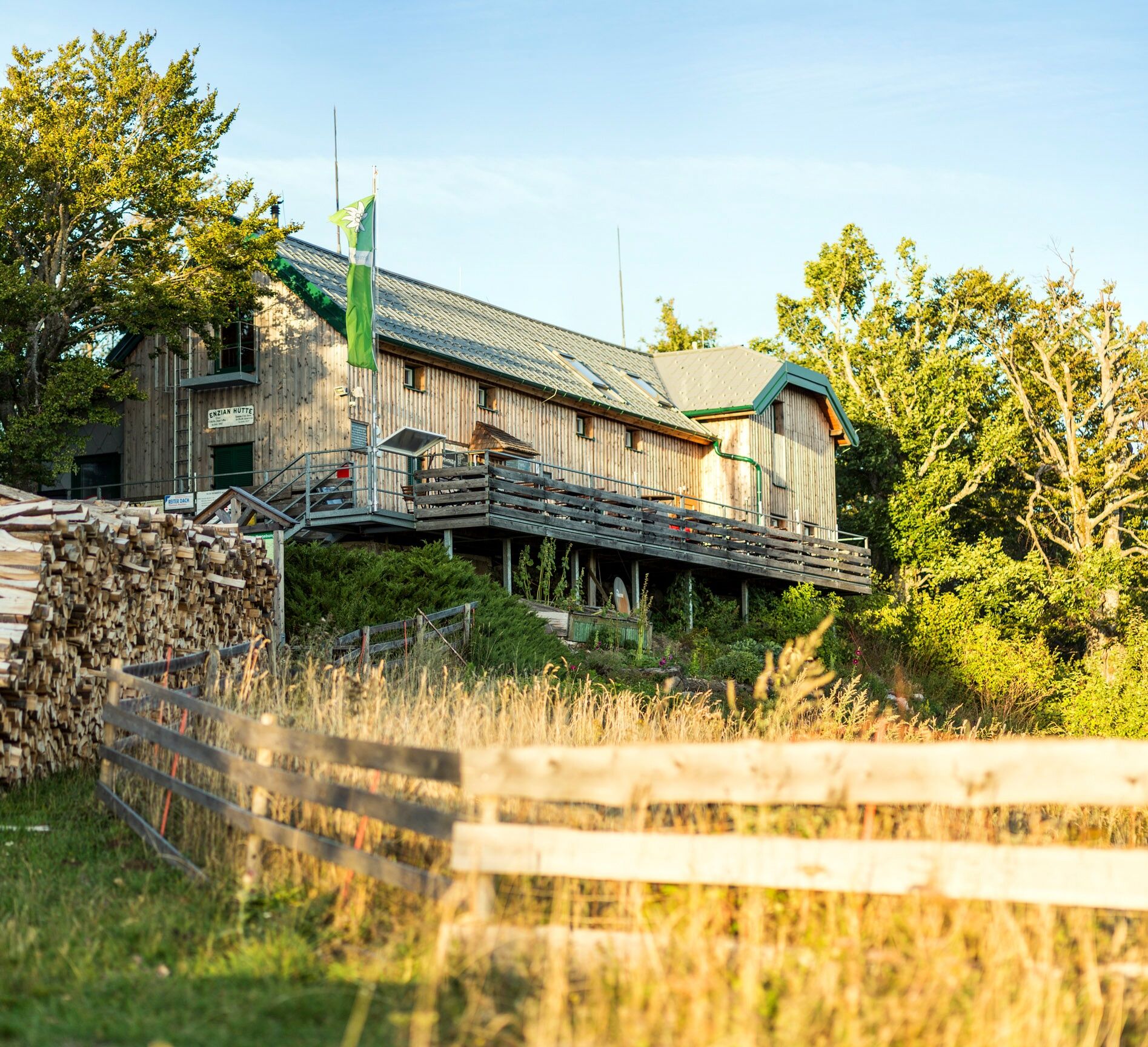
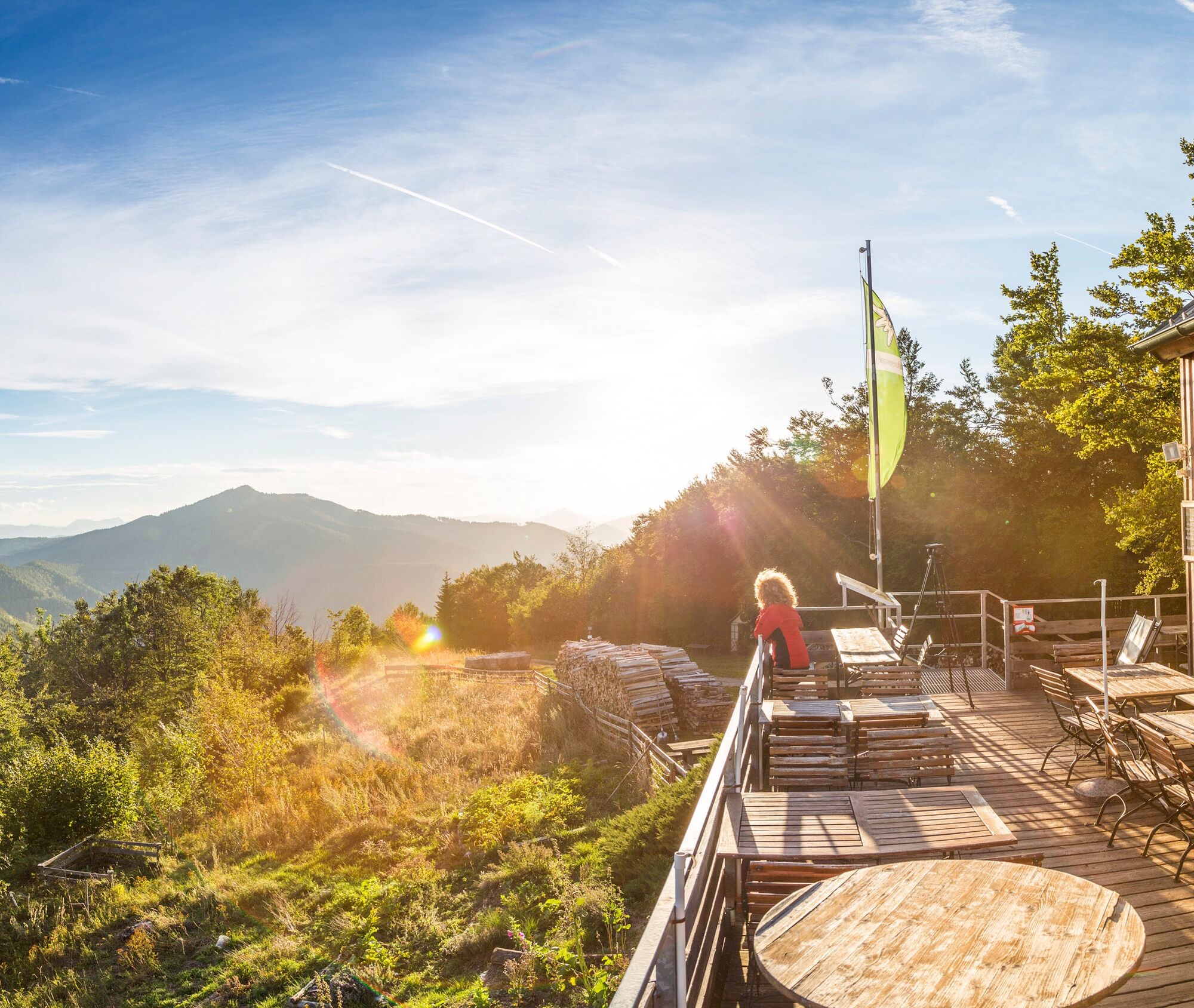
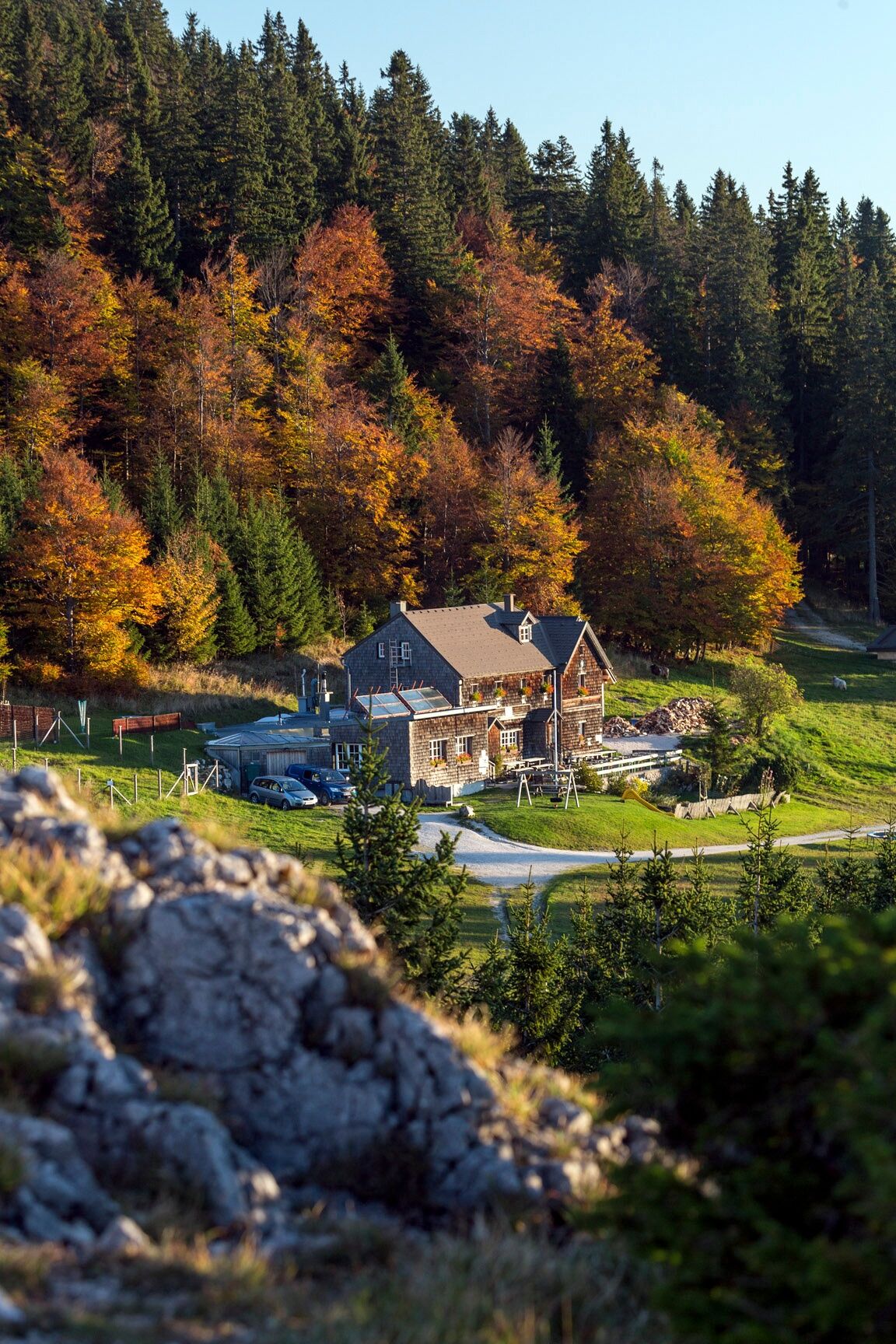
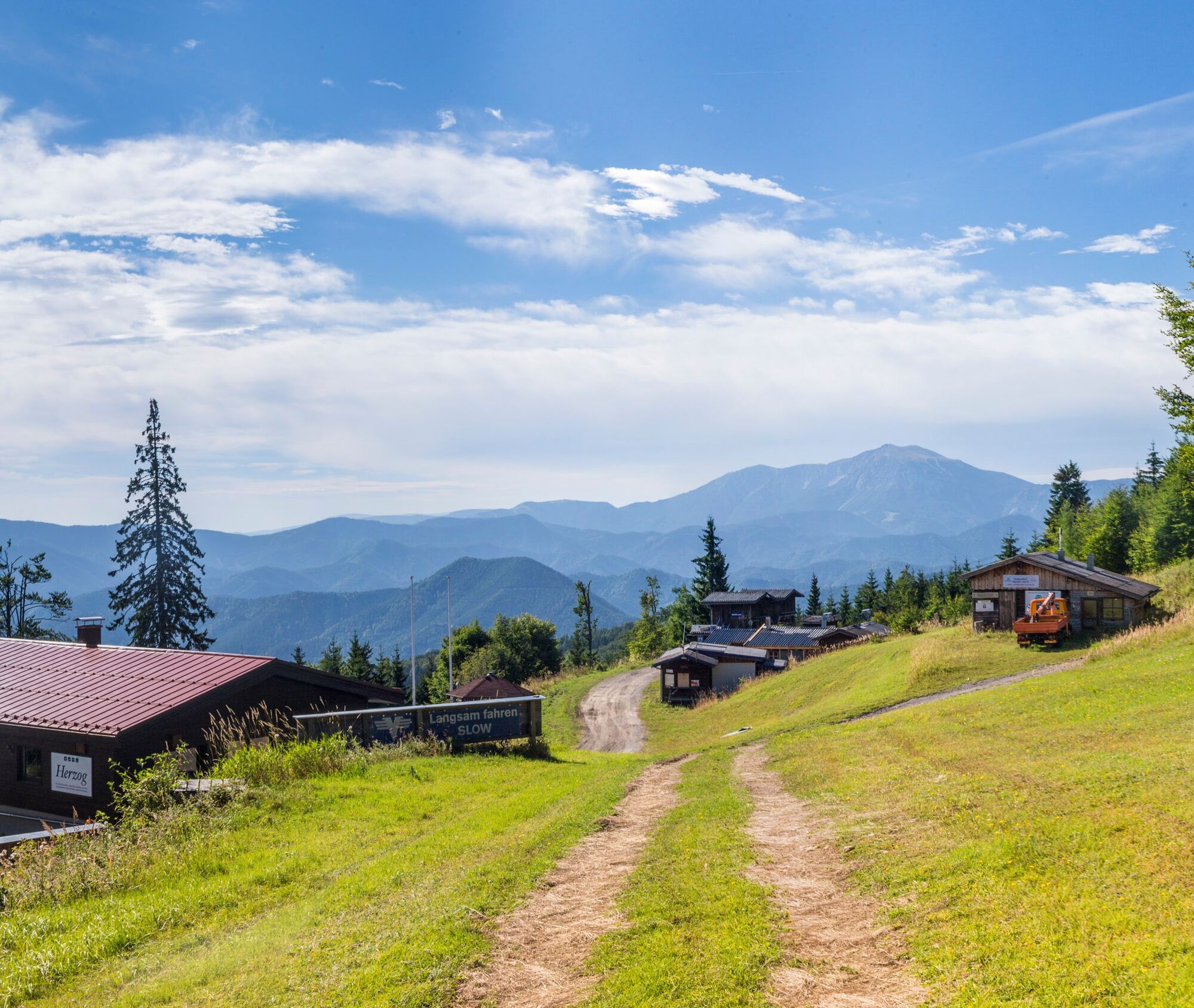
We cross the Hausstein meadow at the northern edge and follow the hiking trail downhill to the Karnerwirt guesthouse. Directly opposite, we follow the narrow path next to the Myra stream (also Pilgrim's Way), thus saving ourselves a stretch of road. However, we encounter the road again after a few minutes, then continue walking along the roadside to Thal and turn right near the fire station onto Atzer Street (also marked in red and trail no. 231). At a small parking lot, we turn left into the Viehgraben toward Kieneck. Now we hike steadily slightly uphill along the Viehgraben until, after just under 40 minutes of walking, we take the branch to the Matras trail. After some switchbacks and steeper sections, we reach the summit structure at Kieneck. On the right, you can take a wonderful rest on the sunny terrace at the Enzianhütte.
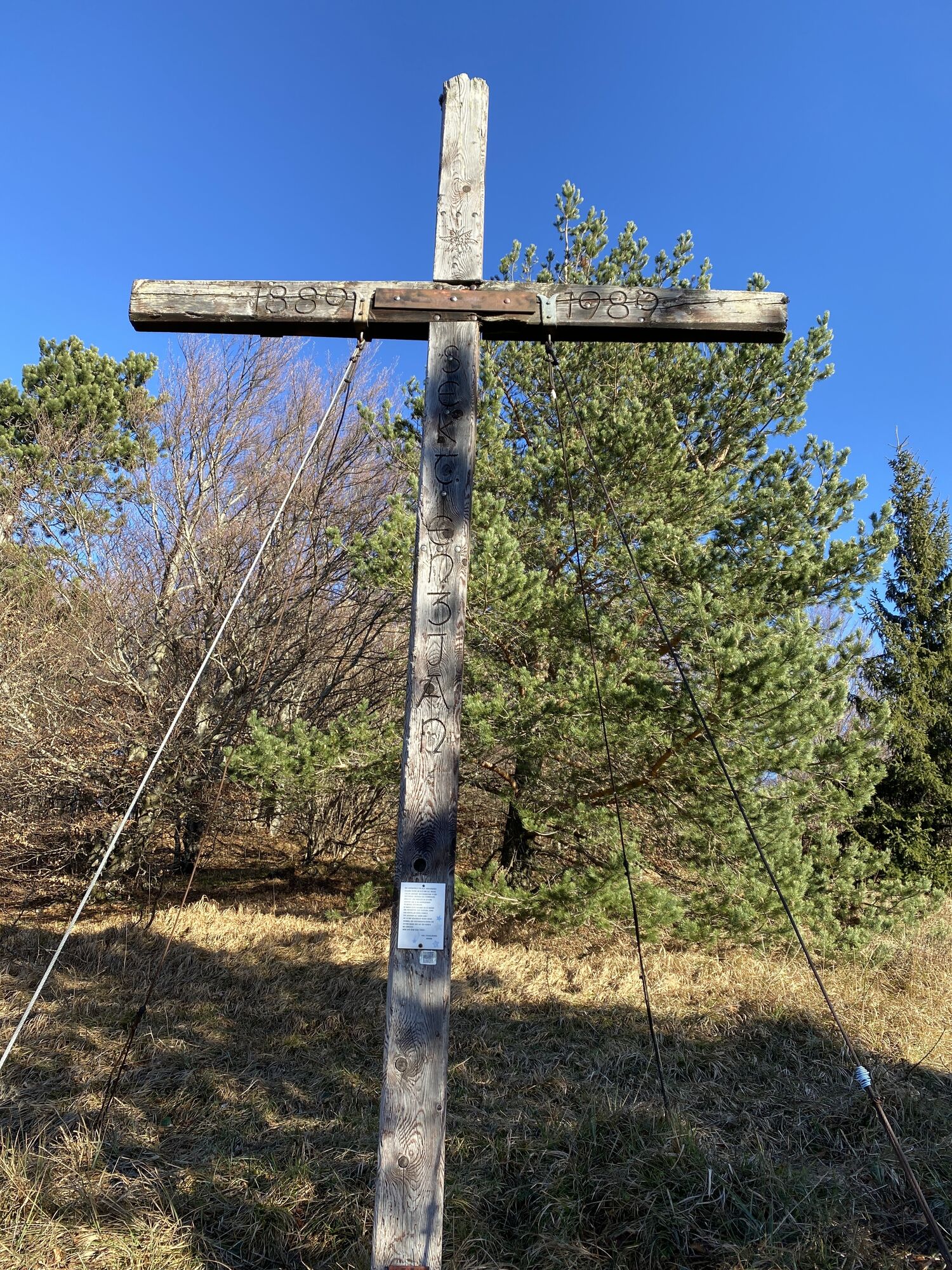
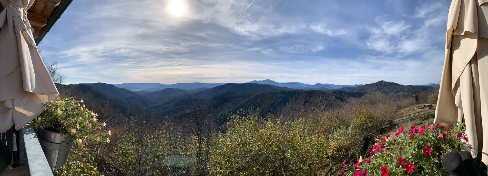
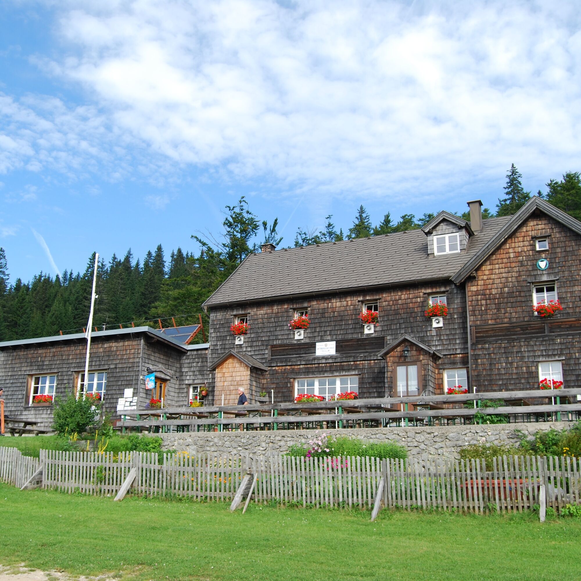
We continue hiking on the Regional Route T and reach our next destination, the Unterberg shelter, via several long-distance hiking trails. From the Enzianhütte, we walk downhill with great views to the Bettelmann cross and ascend again beyond it. Passing the Kirchwaldberg, we follow the trail with continuous ups and downs, crossing the first slopes of the Unterberg ski area, and reach the Unterberg shelter, where overnight stays are also possible. The summit of the Unterberg offers a special view.
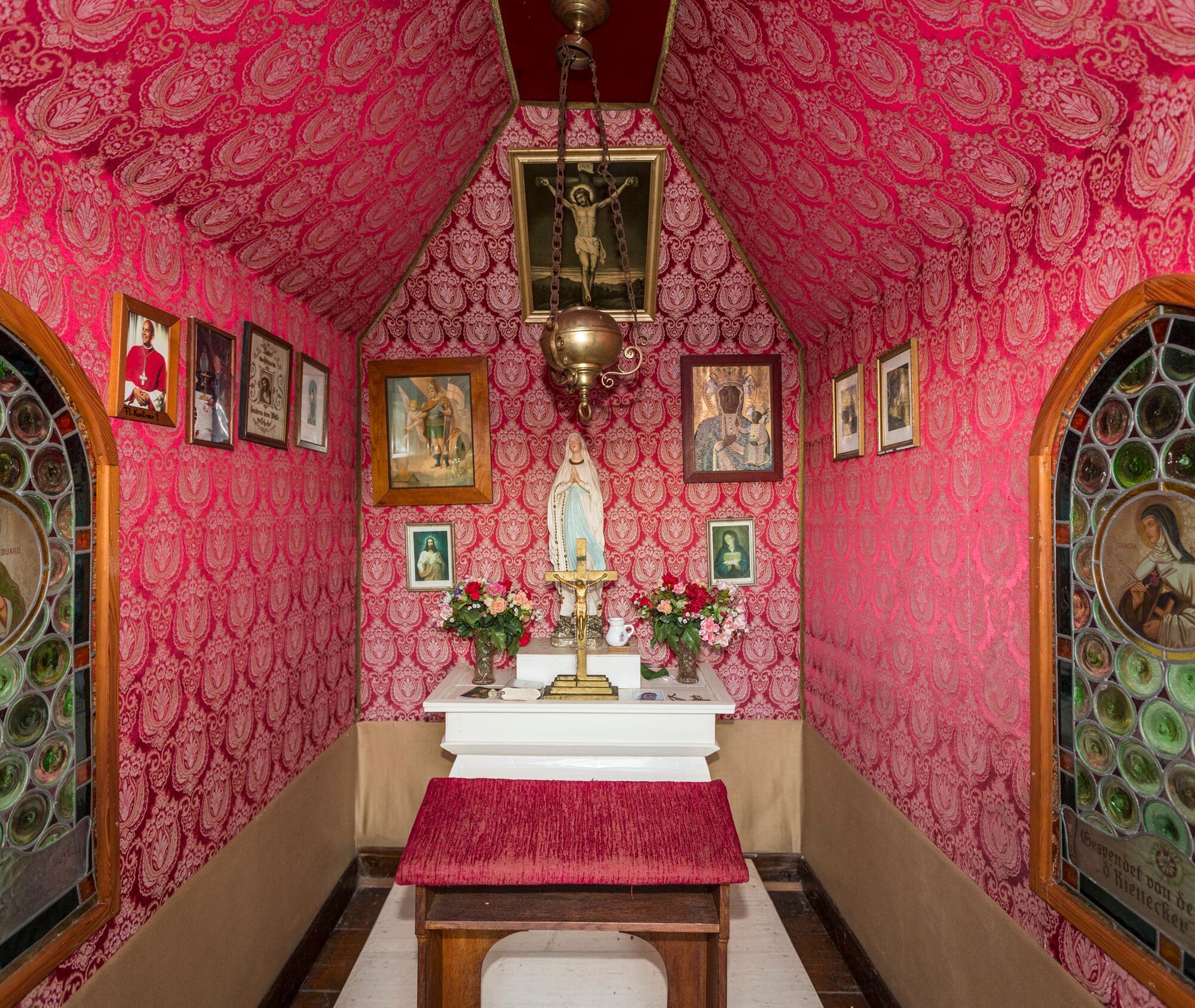
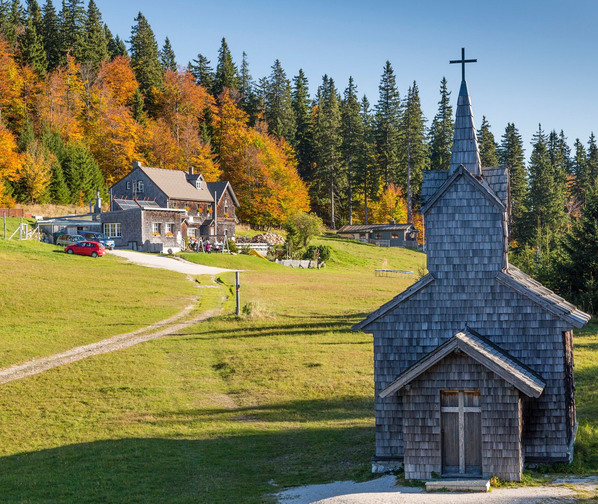
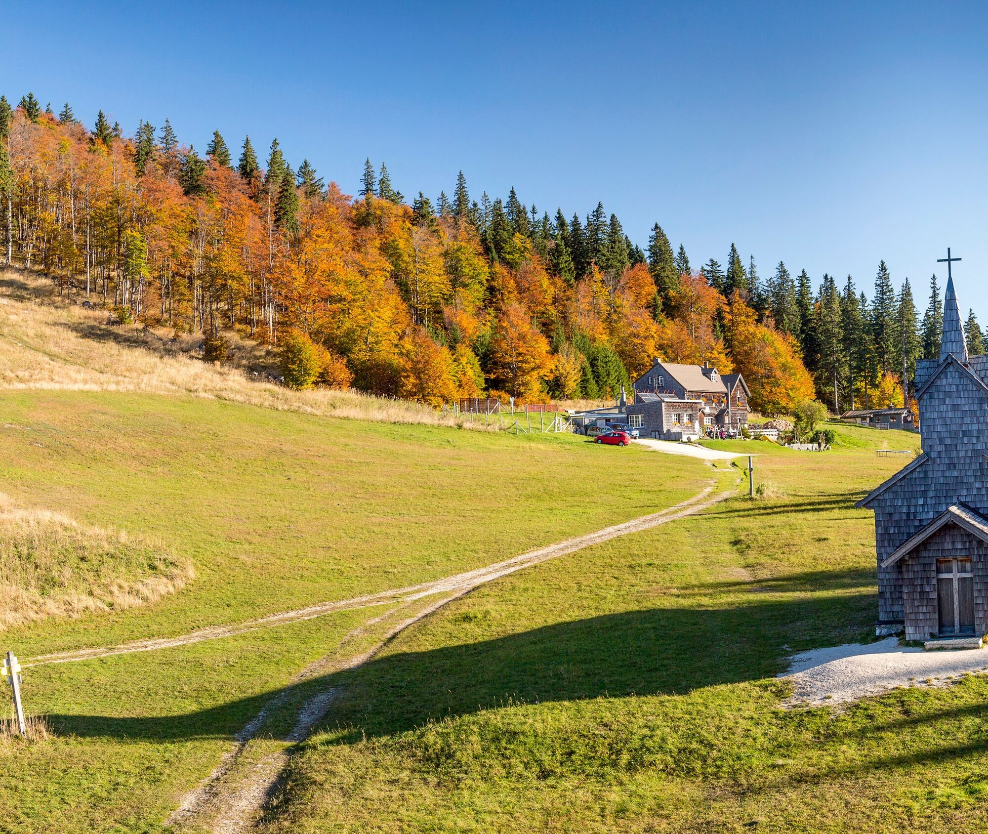
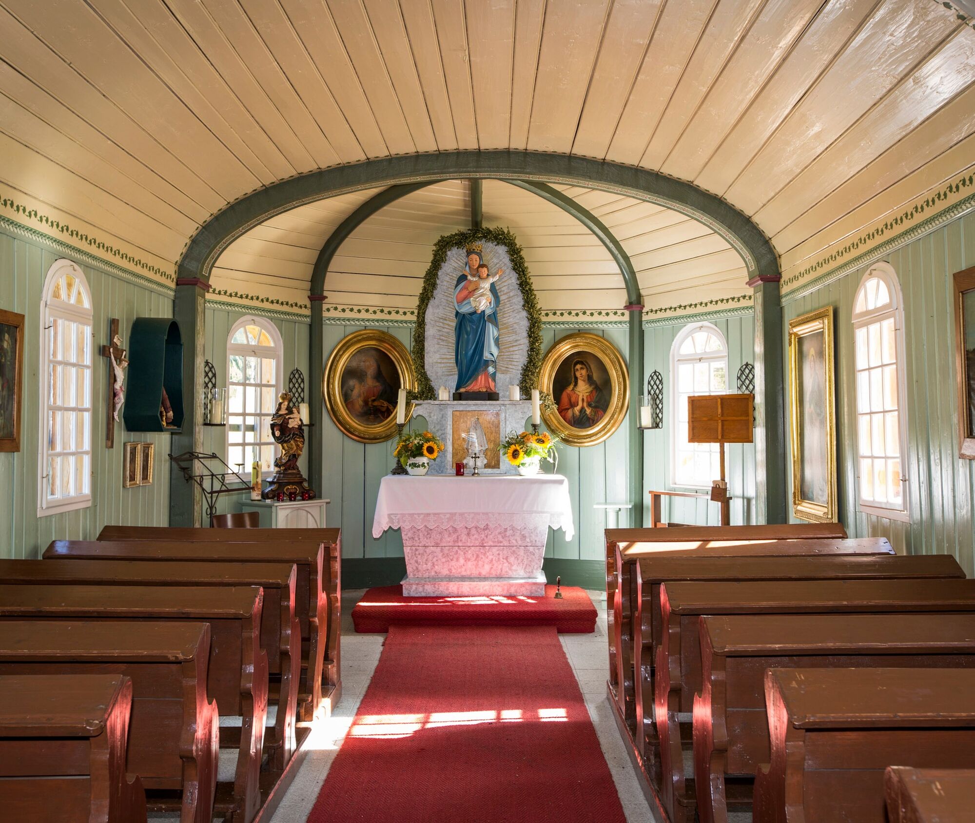
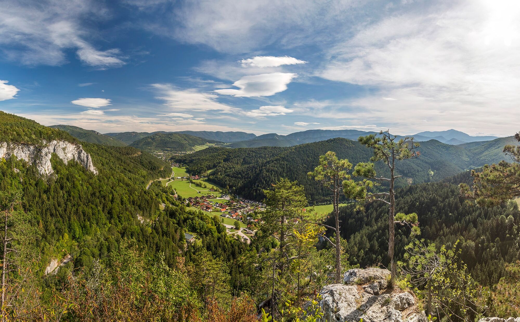
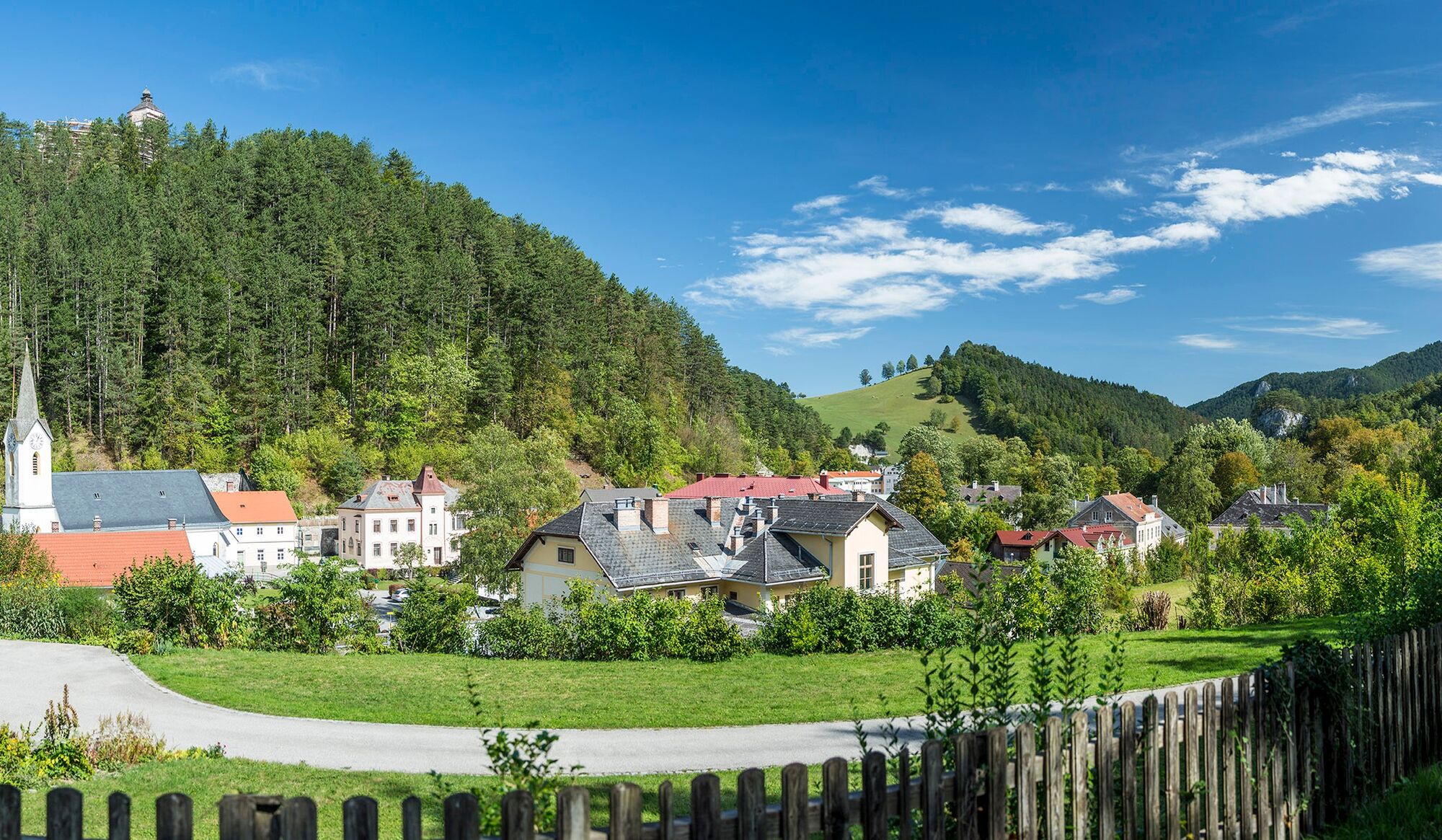
The Regional Route T now passes the small church of Maria Einsiedl and descends through the Mira valley to Grieshof. At the same time, we also move along the Vienna Mariazell Way (marked in red and trail no. 06). From Grieshof, we follow the asphalt road further downhill along the Rainbach. Shortly after the junction at Klauswirt, we turn half-left off the road and take a footpath parallel to the road towards Rohr im Gebirge. After about 20 minutes of walking, we meet the road again and follow it to a bridge where we turn left over the Klausbach and arrive after a few minutes in the center of Rohr im Gebirge. Accommodation is available in Rohr im Gebirge. Buses run from Rohr im Gebirge to the Payerbach-Reichenau train station or to Schwarzau im Gebirge.
Always take suitable maps with you. Wear sturdy shoes appropriate for the route, bring sun and rain protection as well as water and a snack. Take your mobile phone and save the mountain rescue emergency number: 140
Your hikes in the Vienna Alps should be a thoroughly beautiful and safe experience. Please observe the following:
Preparation
Make sure when choosing the route that it corresponds to your mountain experience and fitness. Get information beforehand about the weather report. Weather can change surprisingly quickly in the mountains. So always start well equipped accordingly (e.g., rain protection).
Check whether the huts and snack stations you want to visit on the way are open. Inform someone about your chosen route and your planned return before you set off.
Coming from Vienna or Graz on the A2, change to the B21 towards Gutenstein at the Wöllersdorf exit. In Pernitz, turn right onto Muggendorfer Straße, and at Muggendorf turn left to the Myra Falls.
Take the train from Wiener Neustadt to Pernitz. The starting point at the Myra Falls can be reached on foot after 45 minutes. Buses do run from Pernitz to Muggendorf, but relatively rarely and mostly only on school days.
For more information, visit www.oebb.at and www.vor.at
Parking available at the Myra Falls.
Also explore the connecting routes:
WAB - Regional Route S Part 2: Würflach - Hohe Wand - Grünbacher Saddle
Vienna Alps in Lower Austria, www.wieneralpen.at, +43 / 2622 / 78960
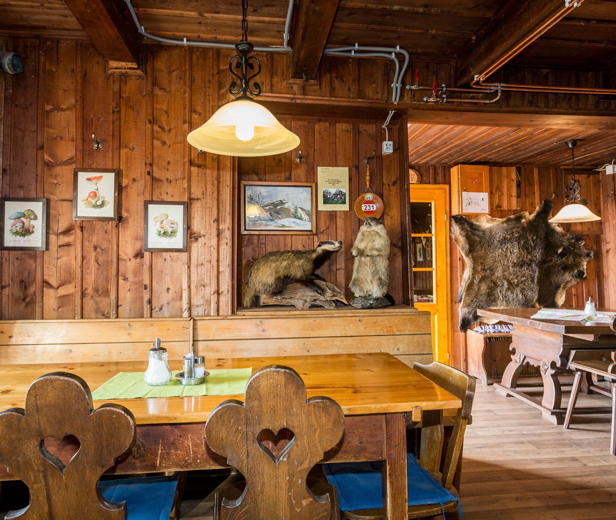
Would you like to combine your hike with an overnight stay? The following offer this possibility: the Enzianhütte on Kieneck, the Unterberg shelter, the Garhof farm, and the Hotel Kaiser Franz Josef in Rohr im Gebirge.
Webkameraer på turen
Populære ture i området
-
4.5
Kieneck über den Enziansteig
lysVandring 12.6 km -
4.8
Schöner Rundkurs über die Dürre Wand: Öhlerschutzhaus über Hanslsteig und Gratwanderung zur Gauermannhütte
lysVandring 14.2 km -
4.5
Hainfelder Hütte: Schöner Rundkurs abseits der Massen
lysVandring 10.1 km -
5.0
Schober- Öhler
MediumVandring 12.2 km -
3.9
Gutensteiner Alpen: Myrafälle und Hausstein
lysVandring 2.92 km -
4.3
Unterberg vom Adamstal
MediumVandring 14.6 km -
5.0
KLEINZELL Ebenwald Hochstaff Reisalpe ret. 20190922
MediumVandring 10.1 km -
4.4
Kieneck über Enziansteig & Mareschsteig
lysVandring 13.8 km -
4.4
Myrafälle und Pfad auf den Hausstein
MediumVandring 3 km -
4.0
Von Waidmannsfeld auf die Gauermannhütte - Angelos Touren
MediumVandring 13.7 km
Vandring og sporing


Gå ikke glip af tilbud og inspiration til din næste ferie
Din e-mailadresse er blevet tilføjet til mailinglisten.