


Billeder af vores brugere
-
 © Michael SonnleitnerOprettet den 09.10.2022
 -
 © Michael SonnleitnerOprettet den 09.10.2022
 -
 © Michael SonnleitnerOprettet den 09.10.2022
 -
 © Michael SonnleitnerOprettet den 09.10.2022
 -
 © Michael SonnleitnerOprettet den 09.10.2022
 -
 © Michael SonnleitnerOprettet den 09.10.2022
 -
 © Michael SonnleitnerOprettet den 09.10.2022


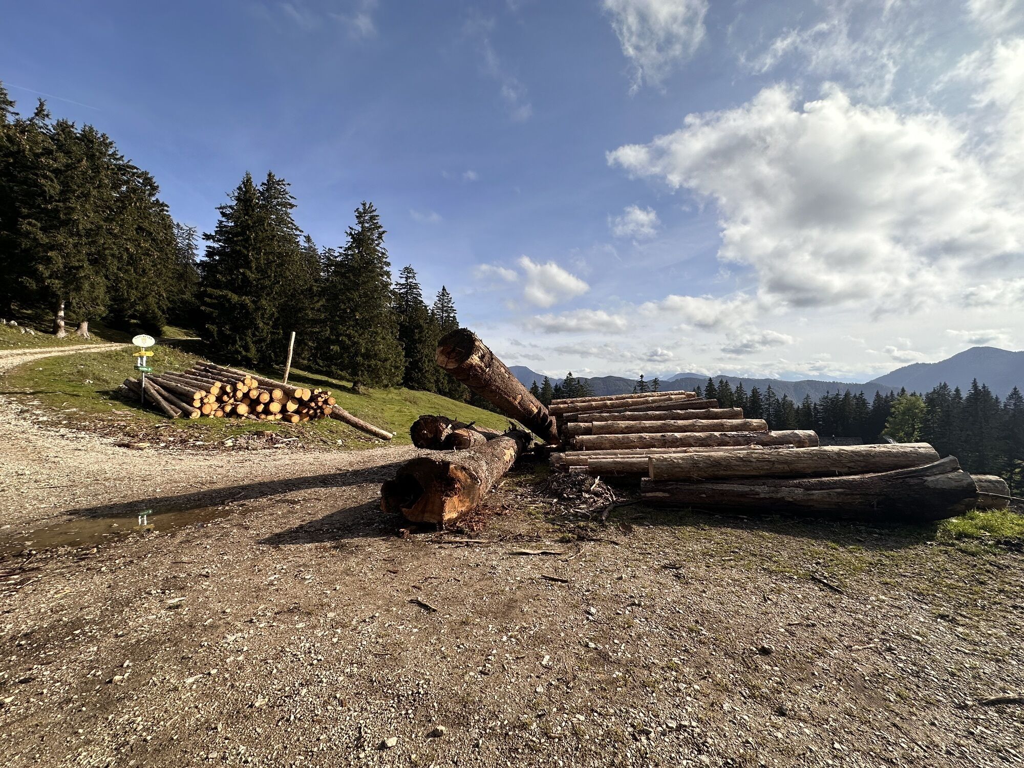
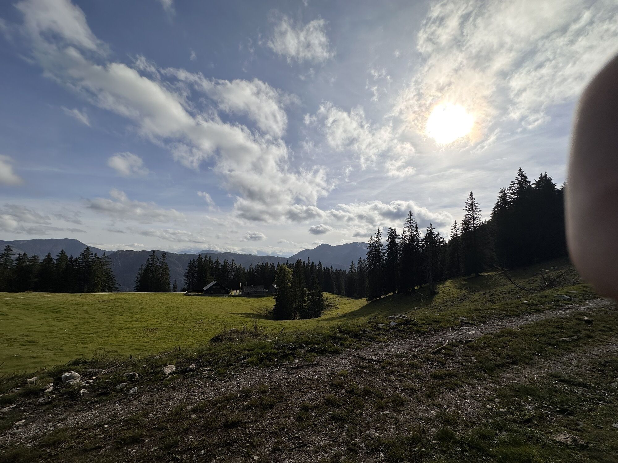
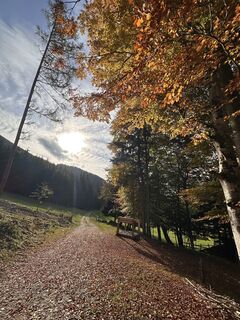
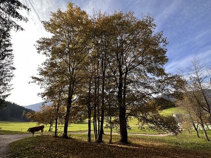
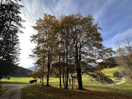
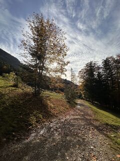
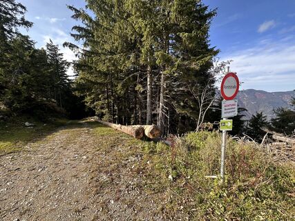
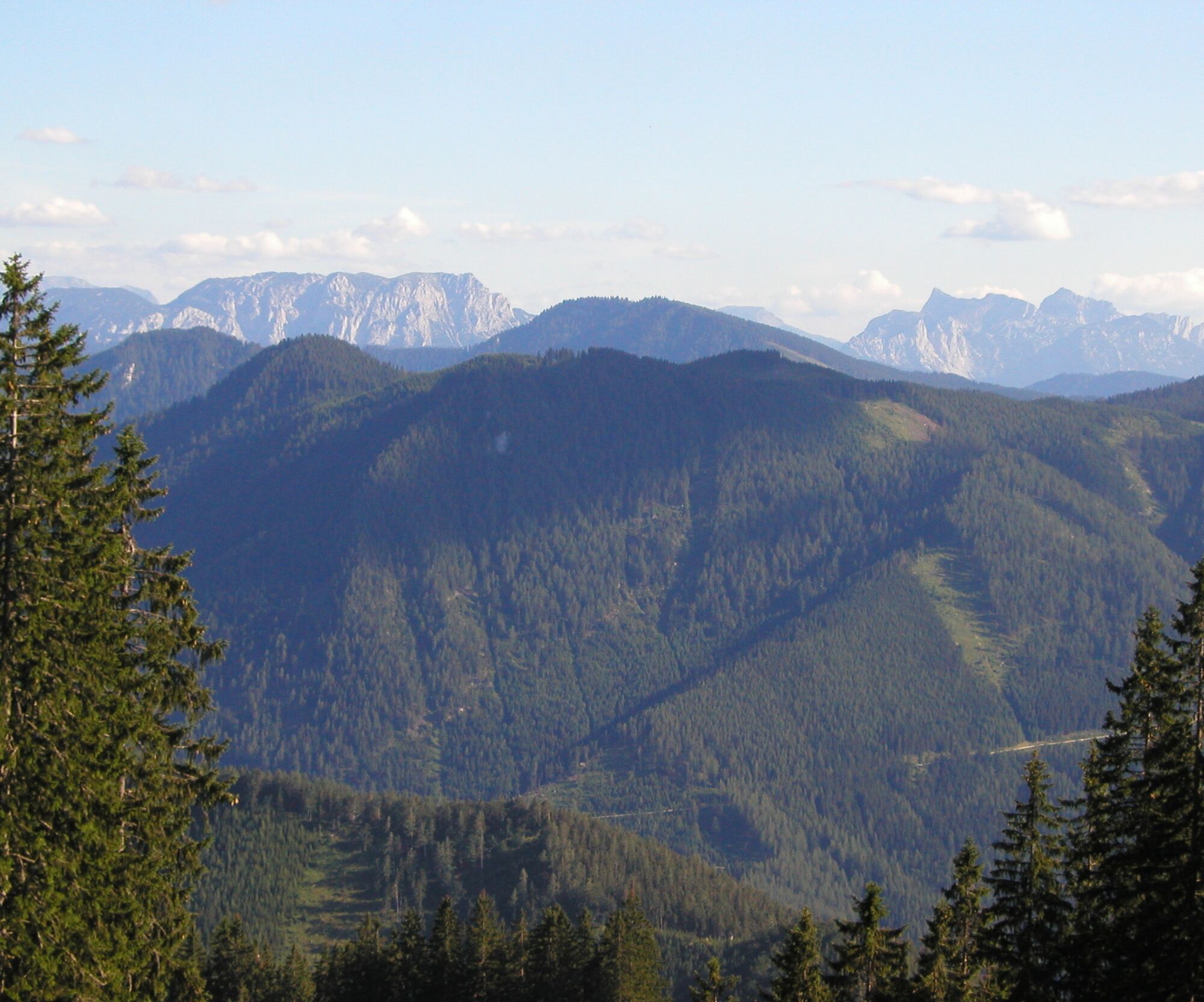
From the Bauernhaus Hochschlag on the partly steep alpine path to the Kitzhütte (operated from May to October), past this the path leads down the forestry road to the Eisgrabensattel. Here a forestry road...
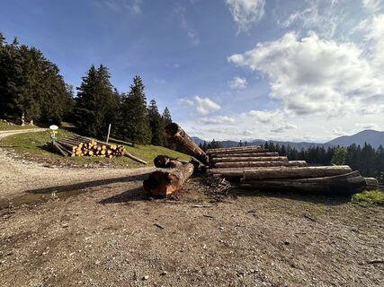
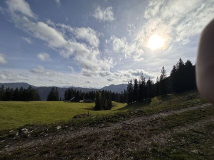
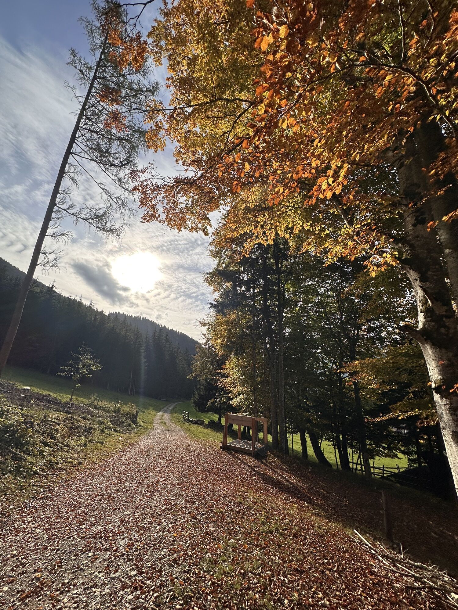
From the Bauernhaus Hochschlag on the partly steep alpine path to the Kitzhütte (operated from May to October), past this the path leads down the forestry road to the Eisgrabensattel. Here a forestry road branches off to the right, running high above the Sandgraben valley downhill. After about 2 km, a hunting trail begins on which surefootedness is partially required, leading out to the beautifully located mountain pasture of Hochau. Following the marking, past the former Hochscheuch farm, the path rejoins the Königsbergstraße at Sattelreith, and from there it goes about 400 m uphill back to the starting point.
Intermediate level of difficulty
Surefootedness partially required
Coming from Vienna, take the A1 to the Amstetten West exit, continue via B121 to Waidhofen an der Ybbs, from there continue on B31 to Hollenstein an der Ybbs, then take Königsbergstraße to the Bauernhaus Hochschlag.
Coming from the west, take the A1 to the Oed exit, via Aschbach Markt on B121, continue on B121 to Waidhofen an der Ybbs, from there continue on B31 to Hollenstein an der Ybbs, then take Königsbergstraße to the Bauernhaus Hochschlag
VOR bus line to Hollenstein town center
Hollenstein: Hochschlag
Tourism Office Ybbstal Alps
Göstling 46/2, 3345 Göstling/Ybbs
43-5-93049
Rent a bike and try out the trails in the Königsberg bike park
Populære ture i området
-
4.9
Kurzeck- Siebenhütten- Turnhöhe- Kitzhütte Göstling an der Ybbs, Österreich
lysVandring 12.8 km -
5.0
Wasserlochklamm-Palfau
MediumVandring 3.48 km -
4.6
Opponitzer Schluchtenwanderweg
lysVandring 4.42 km -
3.8
wanderung auf den alpl
MediumVandring 8.18 km -
4.0
Hochkarrunde Lassing, Niederösterreich
lysVandring 9.33 km -
5.0
Route through the Erlebniswelt Mendlingtal
lysTemaspor 3.27 km -
4.2
Stumpfmauer - Voralpe
MediumVandring 10.5 km -
4.0
Hochkar und Mendlingklamm-Teil 1
MediumVandring 4 km -
4.4
Gamsstein, Hollenstein/Ybbs
MediumVandring 14.1 km -
4.7
GeoPfad mit Nothklammsteg und Steinkugelmühle in Gams
lysTemaspor 4.99 km
Vandring og sporing


Gå ikke glip af tilbud og inspiration til din næste ferie
Din e-mailadresse er blevet tilføjet til mailinglisten.