


Billeder af vores brugere
Ein Spaziergang am WEINWEG Langenlois lässt Besucher tief in den Alltag und in die Gedanken der Winzer eintauchen und erkennen, was die Arbeit, die Freuden und Sorgen eines Winzerlebens ausmacht. Besucher...
Ein Spaziergang am WEINWEG Langenlois lässt Besucher tief in den Alltag und in die Gedanken der Winzer eintauchen und erkennen, was die Arbeit, die Freuden und Sorgen eines Winzerlebens ausmacht. Besucher lernen das Weinbaugebiet Kamptal, die Langenloiser Winzer und Weine kennen und erfahren allerlei Wissenswertes über die Kultivierung der Reben.
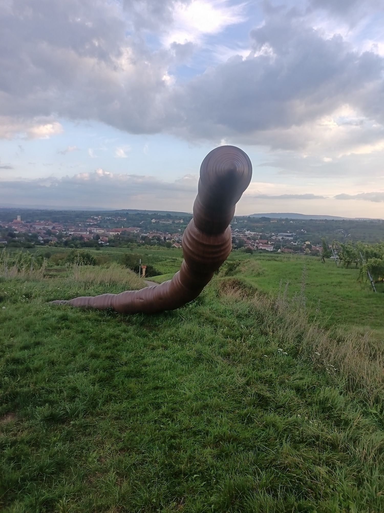
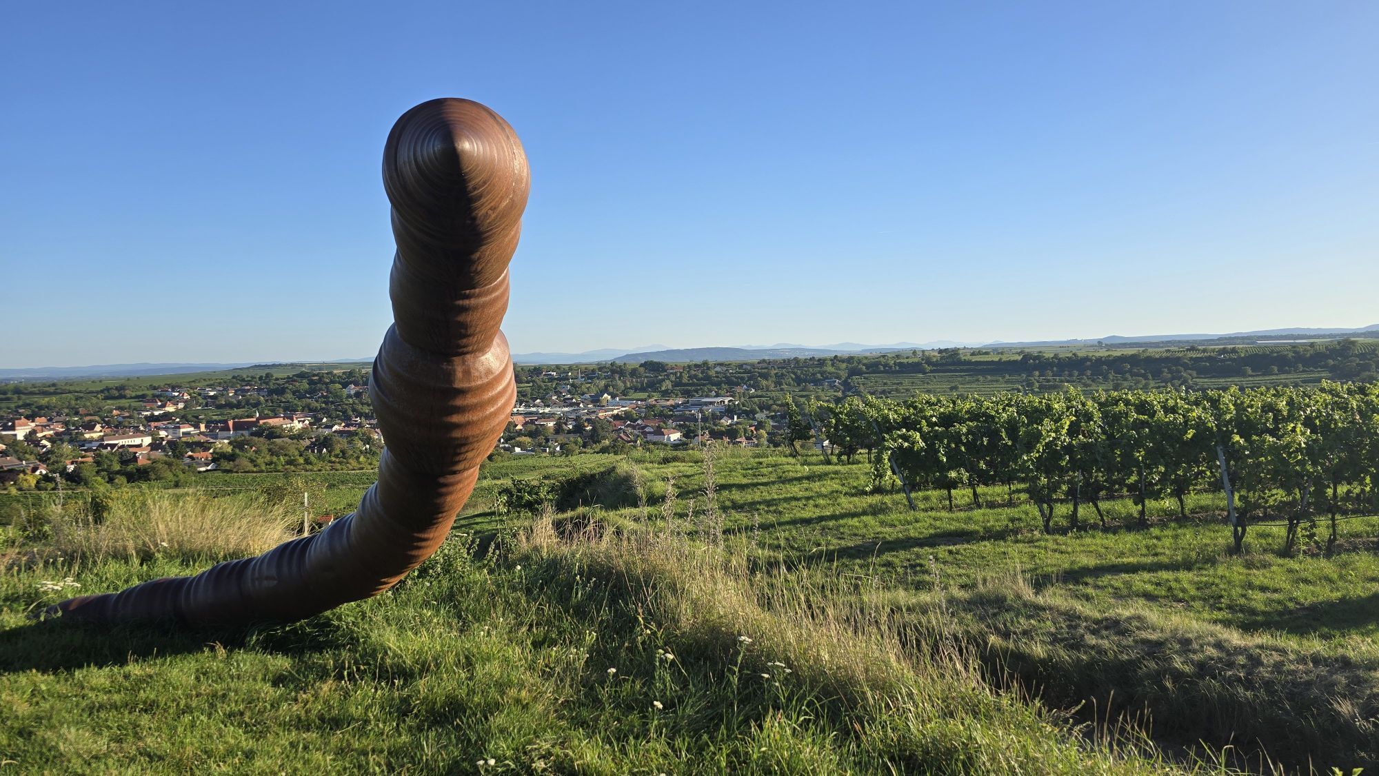
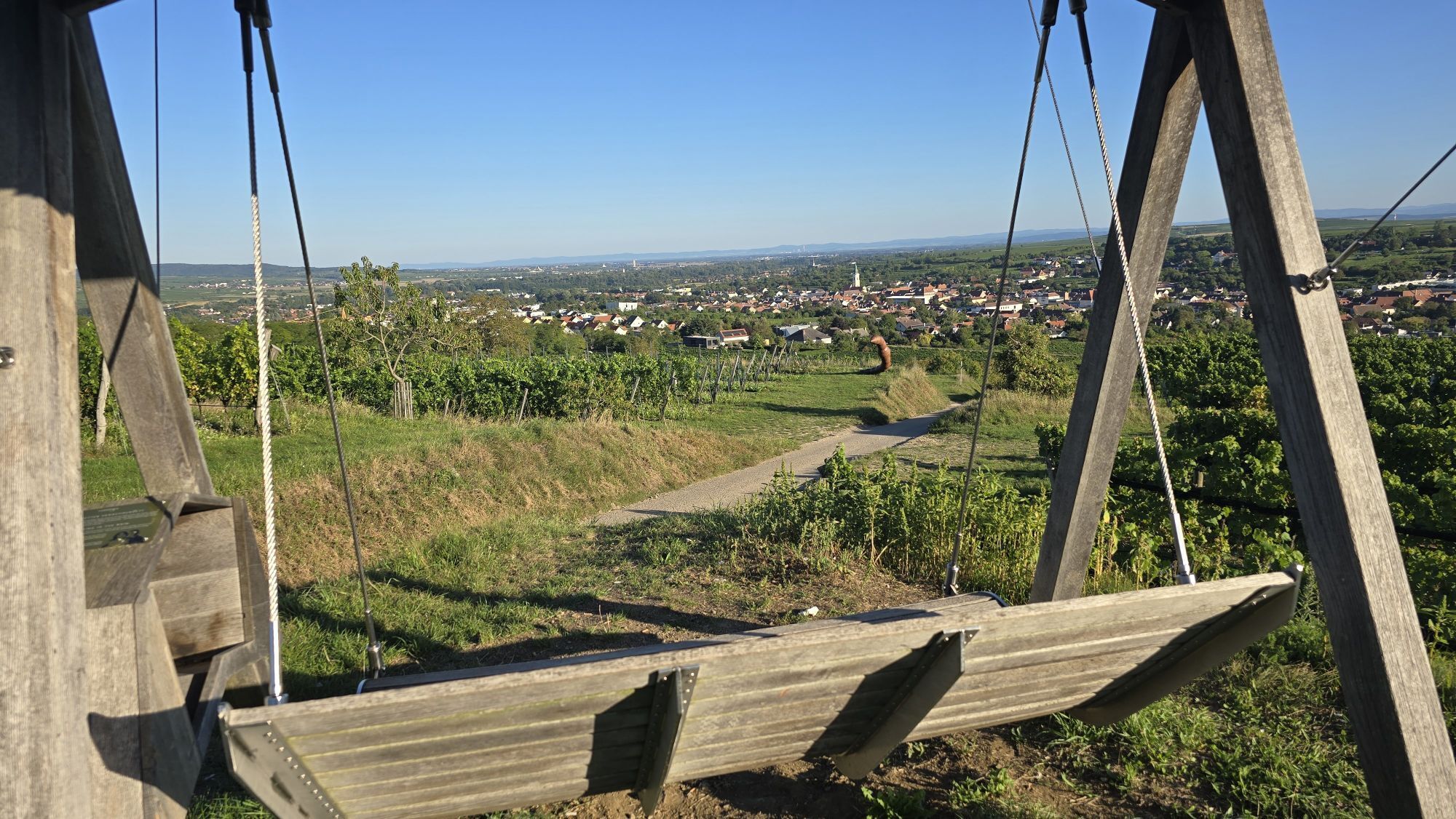
Unterstützt werden die Weinbauthemen durch teils spektakuläre Objekte und Skulpturen: so bohrt sich ein meterlanger Regenwurm durch den Weingarten und begleitet das Thema Bodenbearbeitung, aus einem Riesen-Sektrüttelpult wird eine Aussichtsplattform, eine Schaukel lädt zur Wetterbeobachtung ein u. v. m.


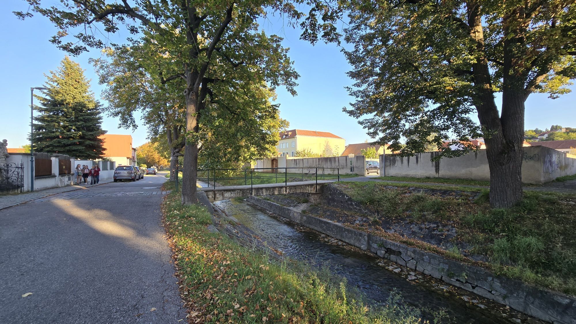
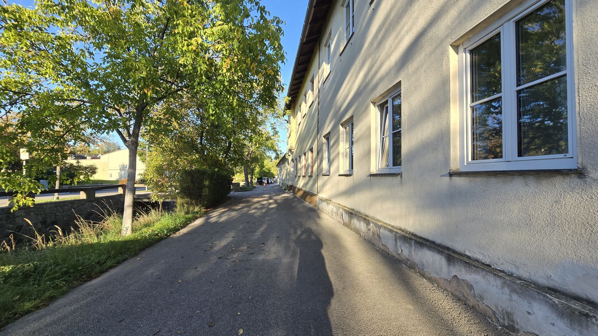
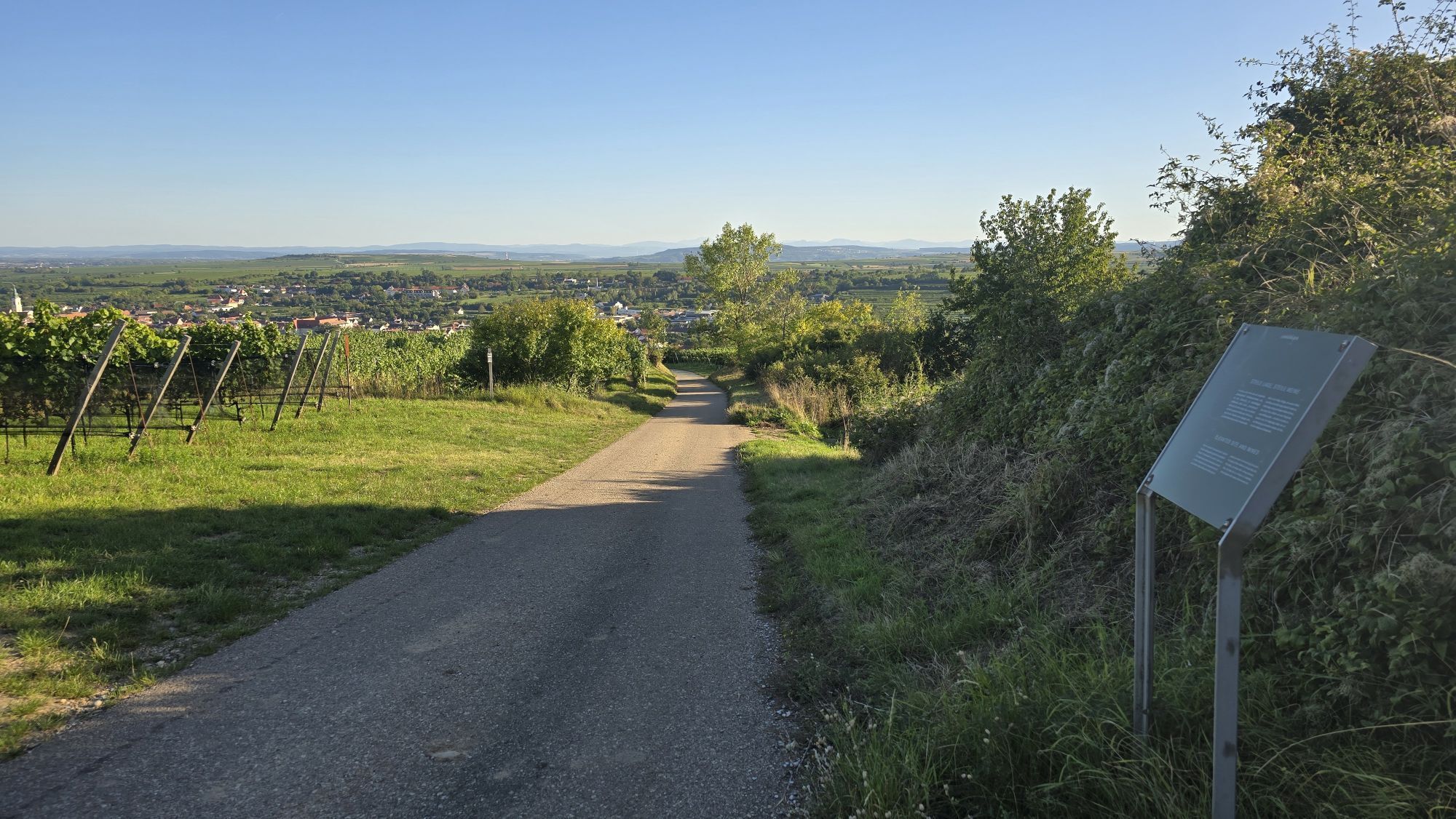
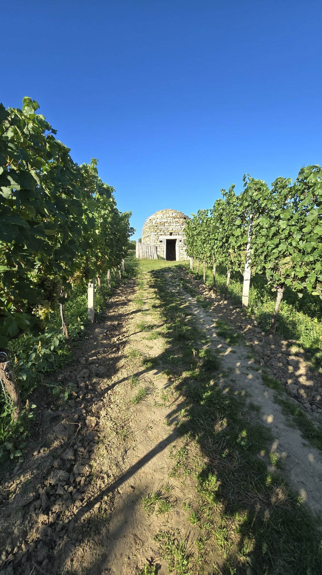
From Ursin Haus in the centre of Langenlois, follow the signs from Kornplatz into Walterstraße. Turn right at Heurigenhof Bründlmayer and follow the footpath to LOISIUM WeinWelt. From there it continues along Loisium Allee, at the end of which you enter the vineyard through the "Weintor". Now you walk directly through the rows of vines. At the end of the vineyard, turn left and walk along the asphalted road until you reach the junction with the Taglergraben. From here it goes uphill past "Riesenrebschere" and "Kreuzungslabor" to the "Riedenportrait", an oversized picture frame that offers unusual views of the top locations opposite, such as the famous Heiligenstein. From here, follow the asphalted road for another 200m and then turn right onto the dirt road. The path now leads twice to the left up to the highest point of the hike at Käferberg. At the sculpture "untitled 2005" by Heimo Zobernig, an imposing seven-meter-high iron ball object reminiscent of a grape, the path goes to the right. Follow the path along the stone wall to the asphalted Schilterner Straße. There turn left and immediately right again. Now you go past the "Riesensektrüttelpult" up to the first vineyard hut with Weinsafe. Below the hut the path now leads again directly through the vineyard to the second hut. After a short steep section downhill to the right. Turn right at the end of the dirt road. Go down "Schenkenbichl" - past "Wetterschaukel", "Riesenregenwurm" and a vineyard hut made of stone -, enjoy the view on a platform once more and finally turn left into Zwettler Straße. Along the Loisbach you reach the Kornplatz, which is only a few minutes away from the starting point.
Ja
Ja
Solid shoes recommended.
From Vienna: Donauuferautobahn A22 direction Stockerau, continue on the S5 direction Krems until exit Fels am Wagram and on the B34 until Langenlois. From the west: Westautobahn A1 direction Vienna to St. Pölten, continue on the S33 and B37 to Krems and on the B218 to Langenlois.
Starting points: Ursin Haus; 3550 Langenlois, Kamptalstraße 3 LOISIUM WeinErlebnisWelt; 3550 Langenlois, Loisium Allee 1
Regular regional train connections between Langenlois and Hadersdorf (connection Vienna), Krems and Kamptal (fahrplan.oebb.at).
At the starting points.
Ursin Haus Vinothek & Tourismusservice GmbH
3550 Langenlois, Kamptalstraße 3
(T) 02734 2000-0
info@ursinhaus.at
www.langenlois.at/weinweg
A special extra for the wine hikers are the so-called "wine safes". Three vineyard huts along the route offer well chilled wines for tasting. The rental key to open the "wine safes" and tasting sets - practical shoulder bags with a Riedel glass and the WEINWEG book - are available from the starting points (for a fee, groups only by appointment).
Populære ture i området
-
4.9
Vogelbergsteig -Kanzel- Fesselhütte - Ruine Dürnstein zum Heurigen in Furth
MediumVandring 7.59 km -
4.8
"Dürnstein Trail" - Die landschaftlich und architektonische Schönheit der Wachau erleben.
lysVandring 6.95 km -
4.4
Wachau: Zur Ruine Dürnstein über den Vogelbergsteig
MediumVandring 5.80 km -
4.8
Burgruine Dürnstein - Fesslhütte - Vogelbergsteig
MediumVandring 5 km -
4.4
Vogelbergsteig Dürnstein
MediumVandring 3.92 km -
4.3
Wachauer Marillenerlebnisweg, Krems-Angern
lysVandring 6.04 km -
4.7
Welterbesteig Wachau 01: Krems-Dürnstein
lysLangdistance-vandresti 12.3 km -
3.4
Über den Göttweiger Walderlebnisweg zu den Mammutbäumen
lysVandring 3.77 km -
4.3
DÜRNSTEIN Unterloiben Henglwand Vogelbergsteig ret. 13.04.2018
MediumVandring 13.3 km -
5.0
"Dürnstein Alt und Neu Runde" Ruine - Vogelberg - Fesslhütte - Kanzl
lysVandring 5.31 km

Vandring og sporing


Gå ikke glip af tilbud og inspiration til din næste ferie
Din e-mailadresse er blevet tilføjet til mailinglisten.