


Billeder af vores brugere
-

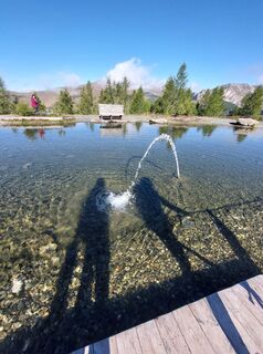
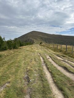
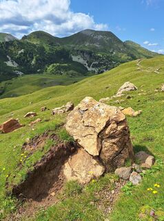
 © Günther DullnigOprettet den 08.10.2022
 -
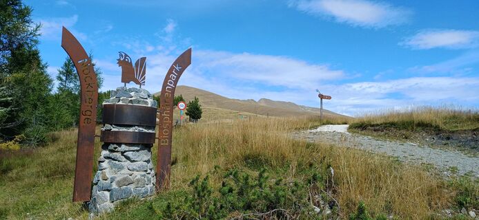
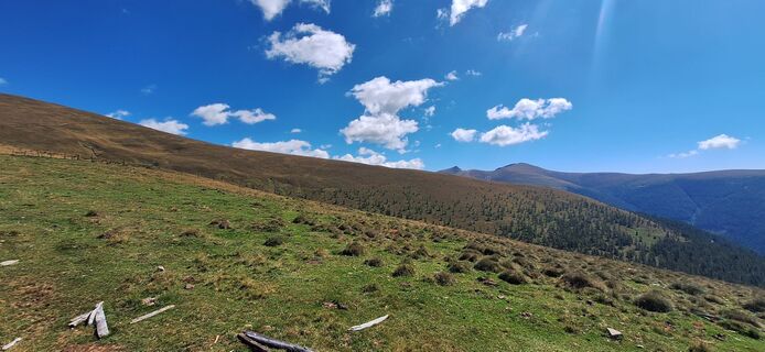
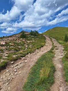
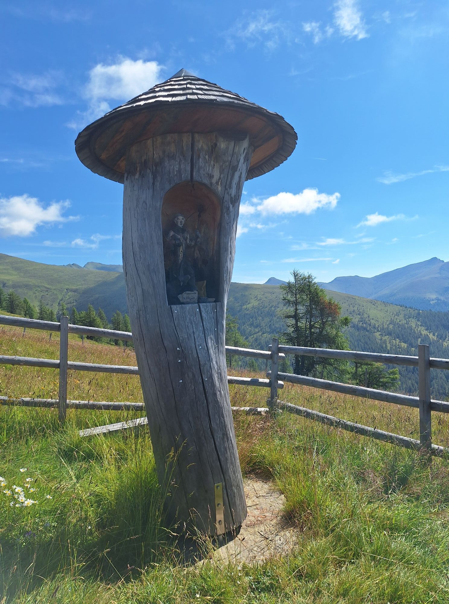
 © Conny DeutschOprettet den 15.09.2025
 -
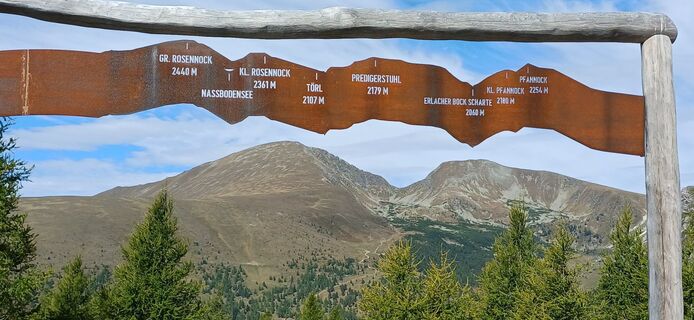
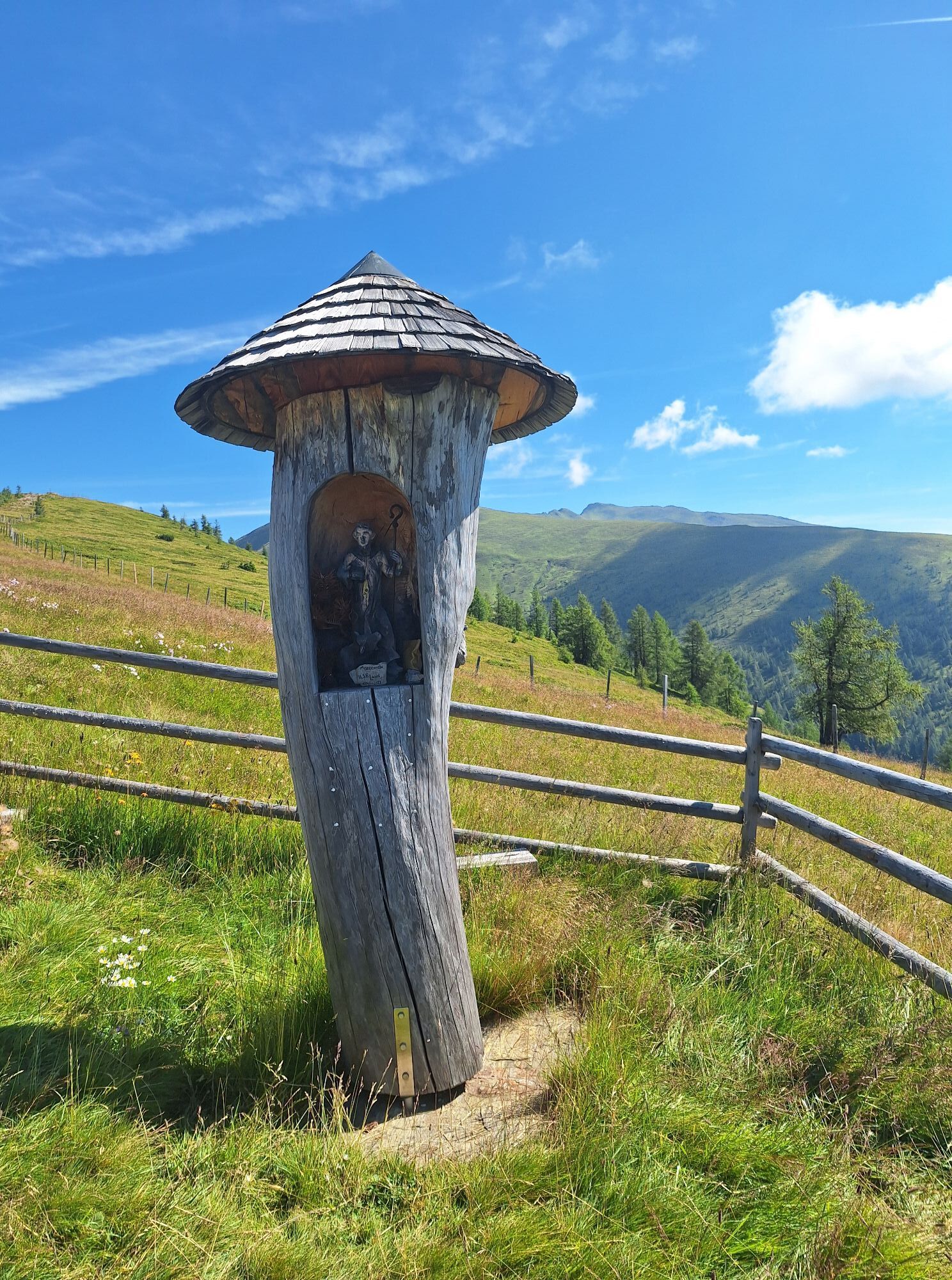
 © Conny DeutschOprettet den 15.09.2025
 -
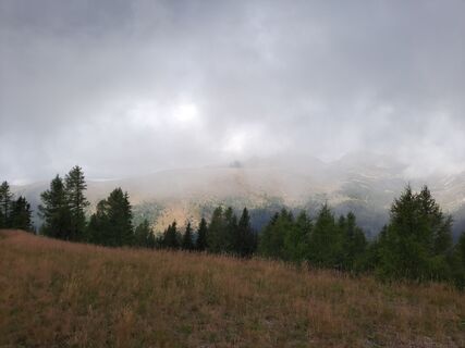
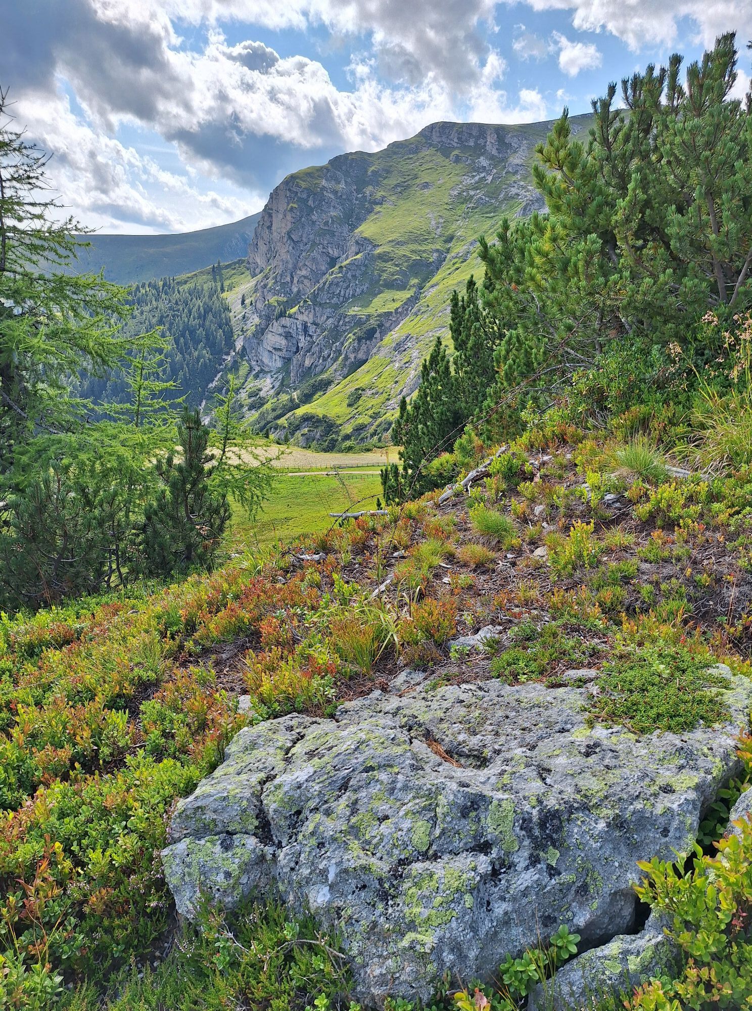
 © Conny DeutschOprettet den 15.09.2025
 -
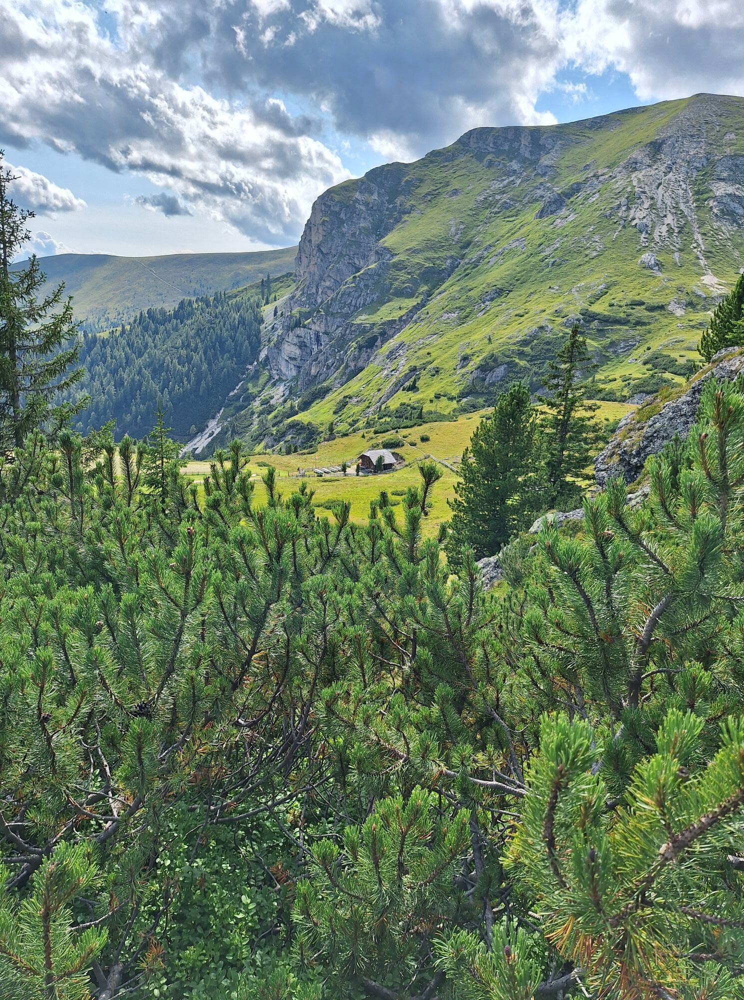
 © Conny DeutschOprettet den 15.09.2025
 -
 © Conny DeutschOprettet den 15.09.2025
 -
 © Conny DeutschOprettet den 15.09.2025
 -
 © Conny DeutschOprettet den 15.09.2025
 -
 © Conny DeutschOprettet den 15.09.2025
 -
 © Conny DeutschOprettet den 15.09.2025
 -
 © Roland RubenthalerOprettet den 08.09.2025
 -
 © Roland RubenthalerOprettet den 08.09.2025
 -
 © Jörg StephanOprettet den 05.09.2025
 -
 © Hannes GelterOprettet den 27.08.2025
 -
 © Rene KroissenbrunnerOprettet den 26.08.2025
 -
 © Rene KroissenbrunnerOprettet den 26.08.2025
 -
 © Rene KroissenbrunnerOprettet den 26.08.2025
 -
 © Katl23Oprettet den 11.08.2025
 -
 © Katl23Oprettet den 11.08.2025
 -
 © Andreas KoglerOprettet den 12.07.2025
 -
 © Andreas KoglerOprettet den 12.07.2025
 -
 © Andreas KoglerOprettet den 12.07.2025
 -
 © Andreas KoglerOprettet den 12.07.2025
 -
 © Andreas KoglerOprettet den 12.07.2025
 -
 © Dagmar HoferOprettet den 04.06.2025
 -
 © Dagmar HoferOprettet den 04.06.2025
 -
 © Dagmar HoferOprettet den 04.08.2024
 -
 © Dagmar HoferOprettet den 04.08.2024
 -
 © Dagmar HoferOprettet den 26.07.2024
 -
 © Dagmar HoferOprettet den 26.07.2024
 -
 © Dagmar HoferOprettet den 25.07.2024
 -
 © Dagmar HoferOprettet den 25.07.2024
 -
 © Dagmar HoferOprettet den 25.07.2024
 -
 © Dagmar HoferOprettet den 25.07.2024
 -
 © Dagmar HoferOprettet den 25.07.2024
 -
 © Dagmar HoferOprettet den 25.07.2024
 -
 © Dagmar HoferOprettet den 25.07.2024
 -
 © Dagmar HoferOprettet den 25.07.2024
 -
 © Dagmar HoferOprettet den 25.07.2024
 -
 © Dagmar HoferOprettet den 25.07.2024
 -
 © Dagmar HoferOprettet den 25.07.2024
 -
 © Dagmar HoferOprettet den 25.07.2024
 -
 © Dagmar HoferOprettet den 25.07.2024
 -
 © Dagmar HoferOprettet den 25.07.2024
 -
 © Dagmar HoferOprettet den 25.07.2024
 -
 © Dagmar HoferOprettet den 25.07.2024
 -
 © Dagmar HoferOprettet den 18.07.2024
 -
 © Dagmar HoferOprettet den 18.07.2024


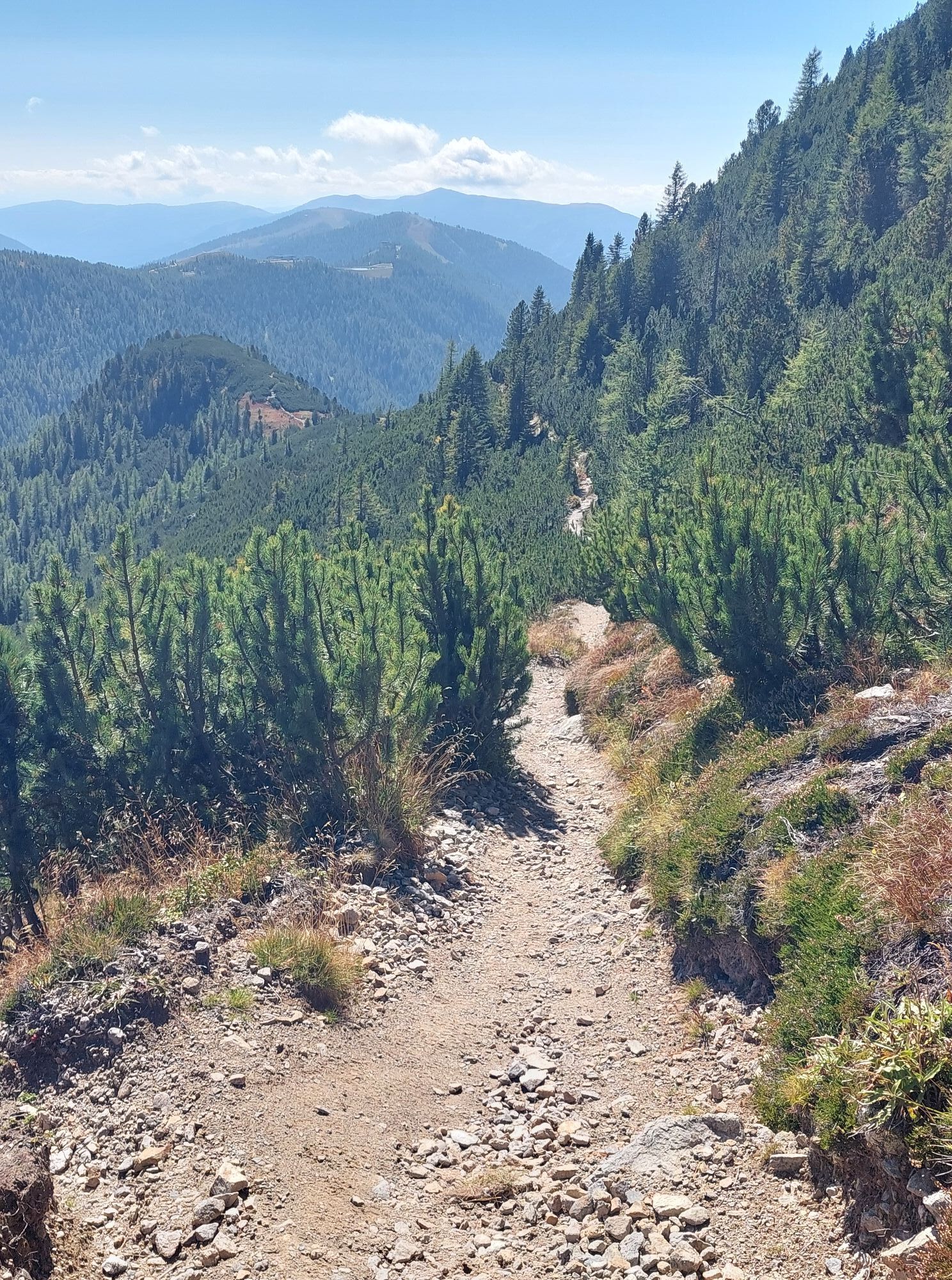
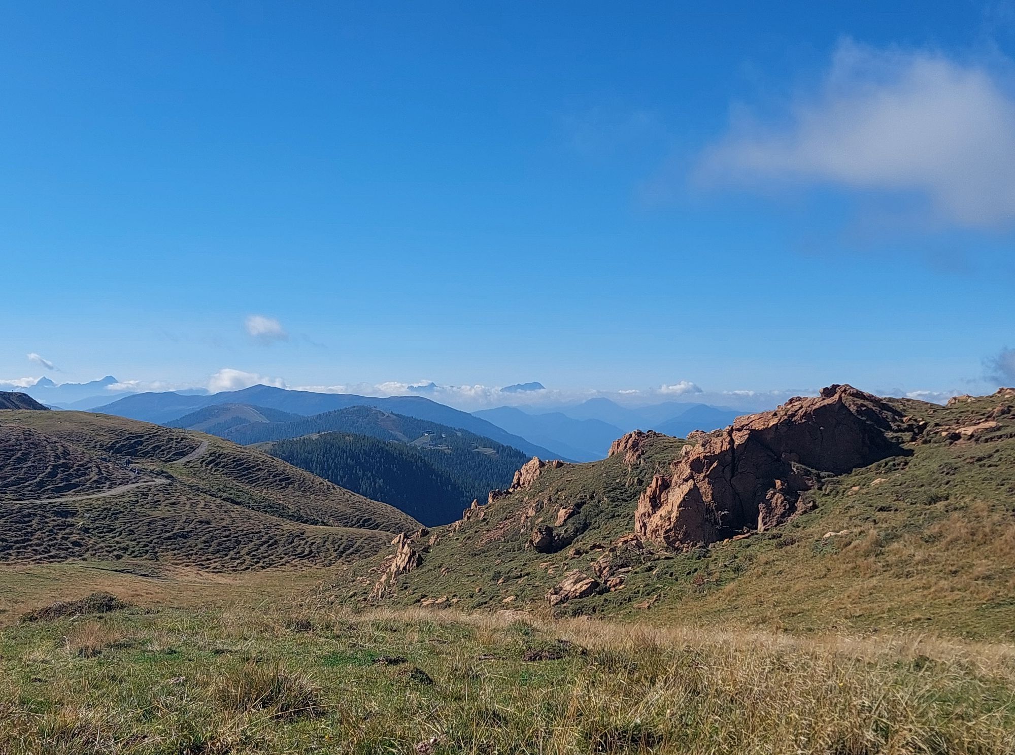
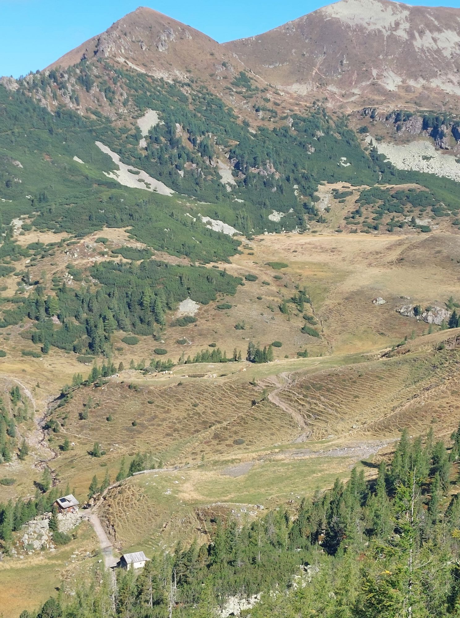

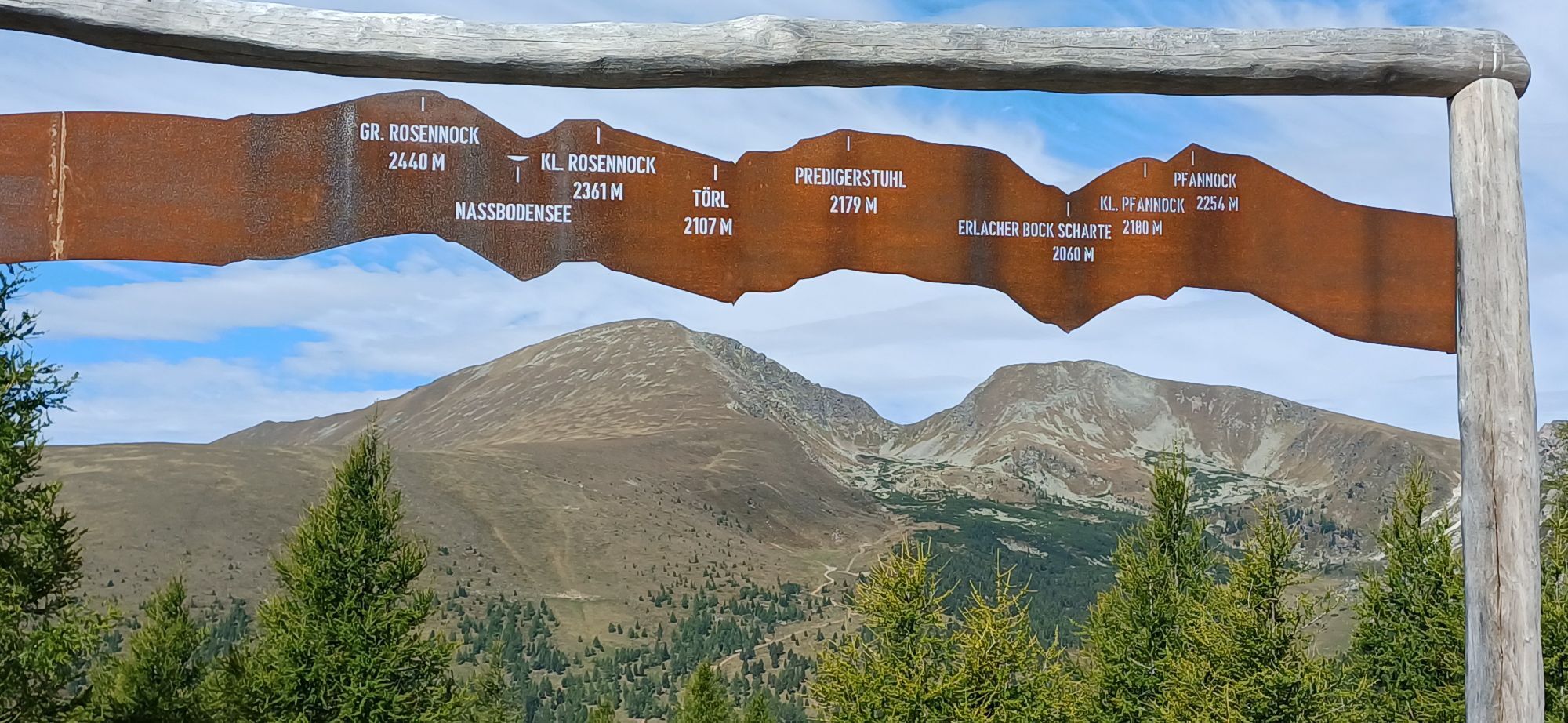


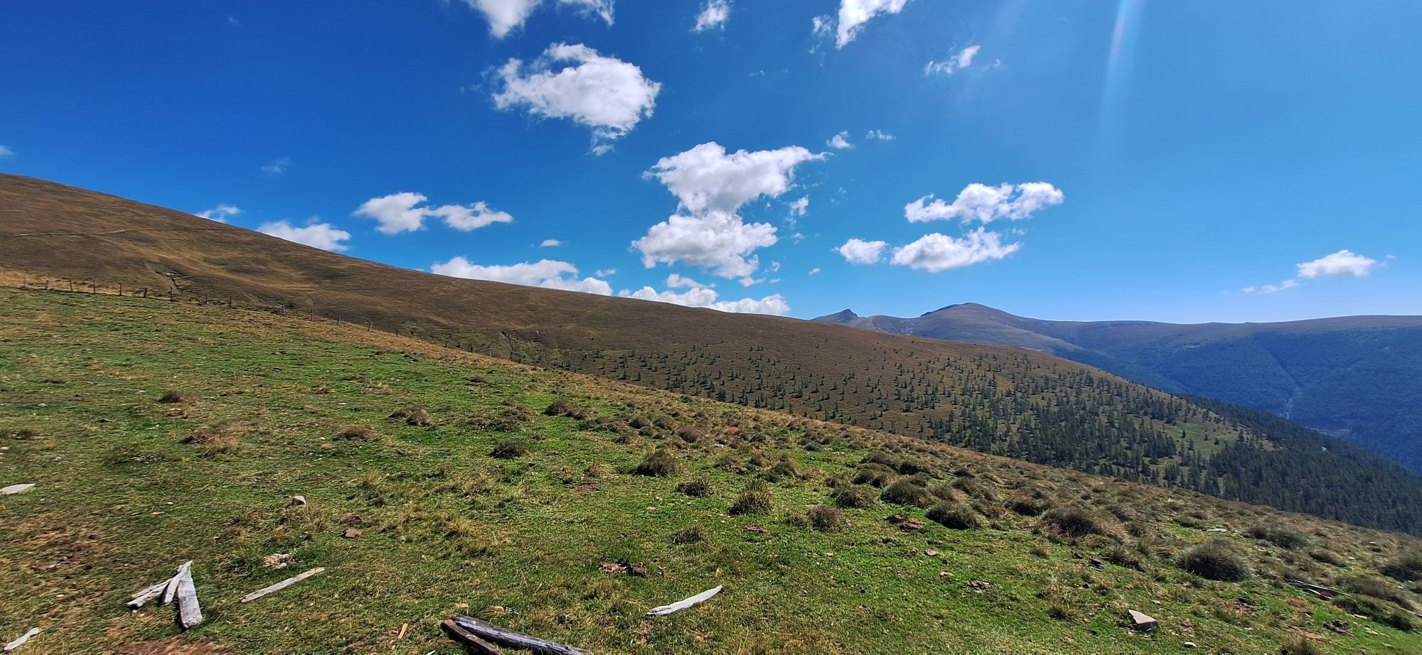


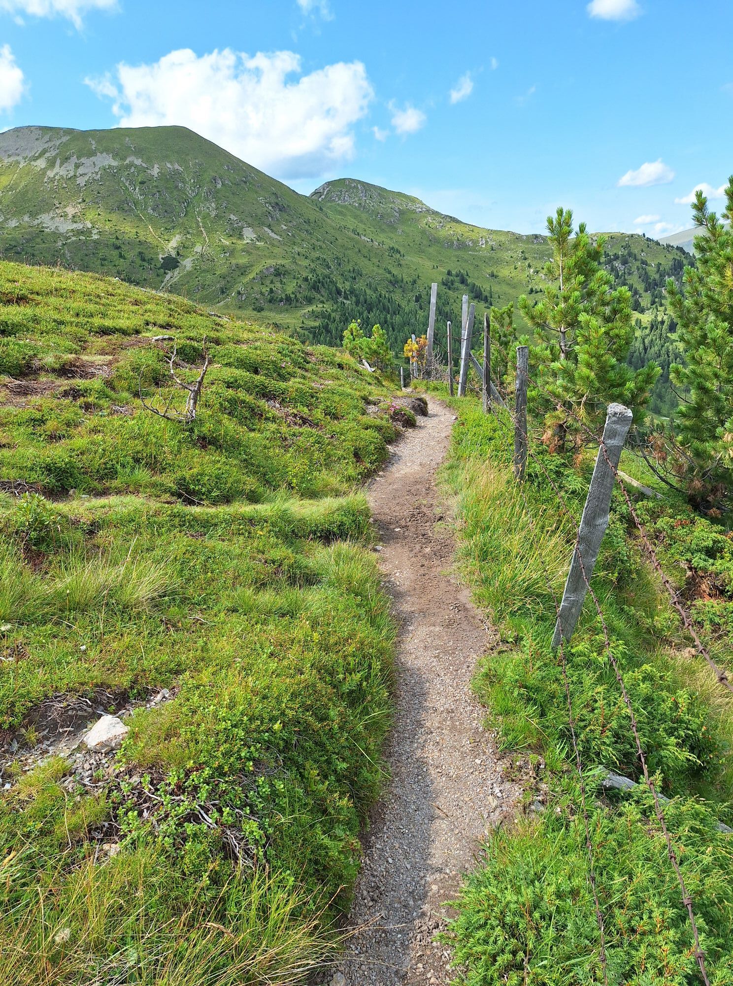
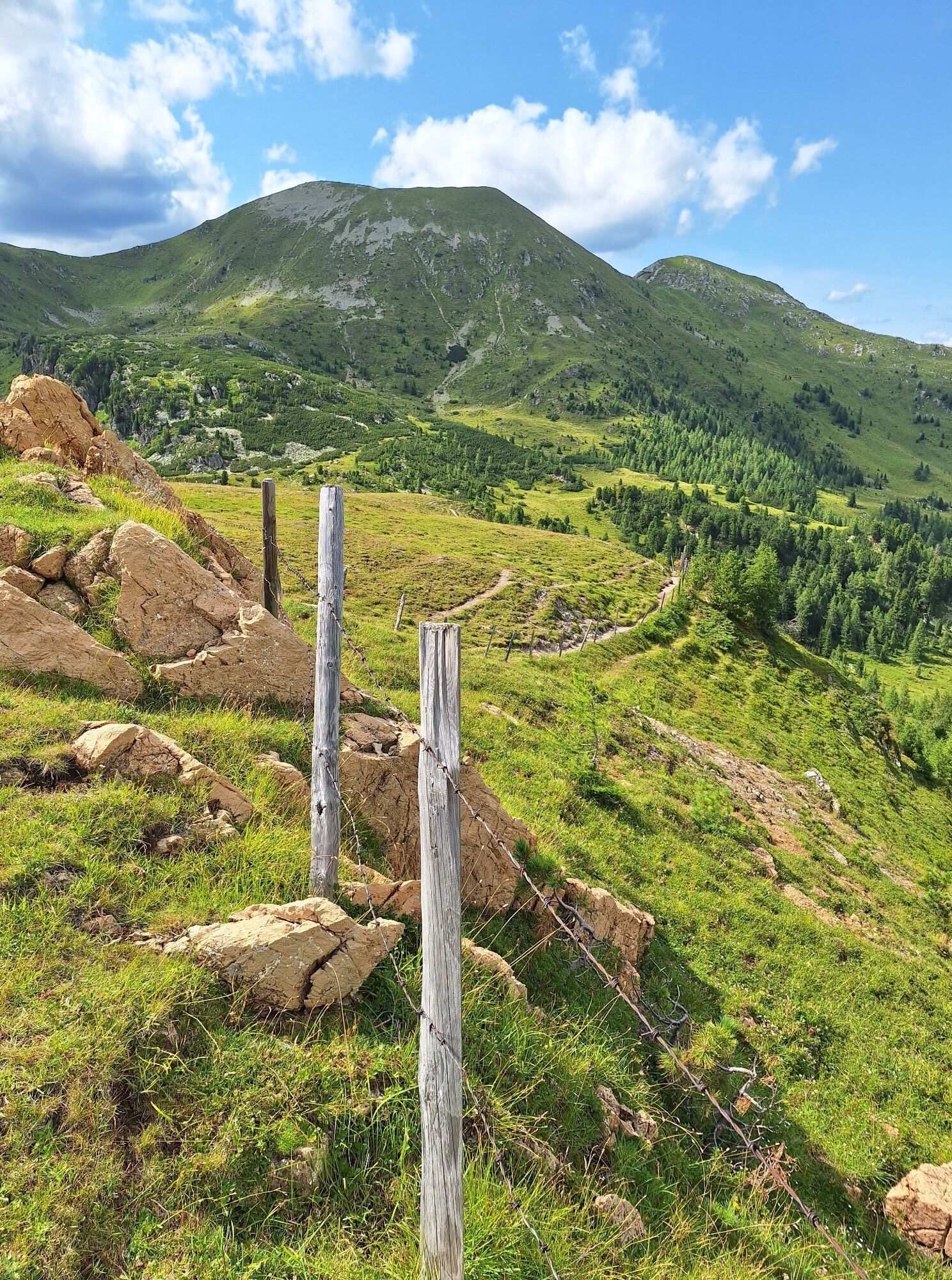

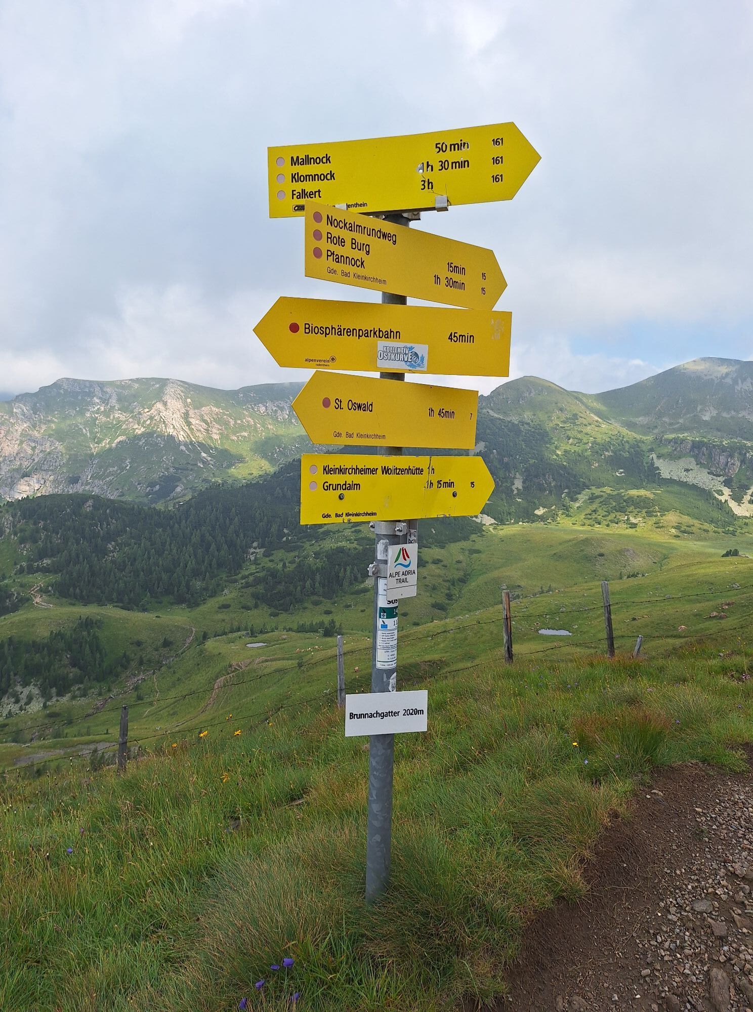
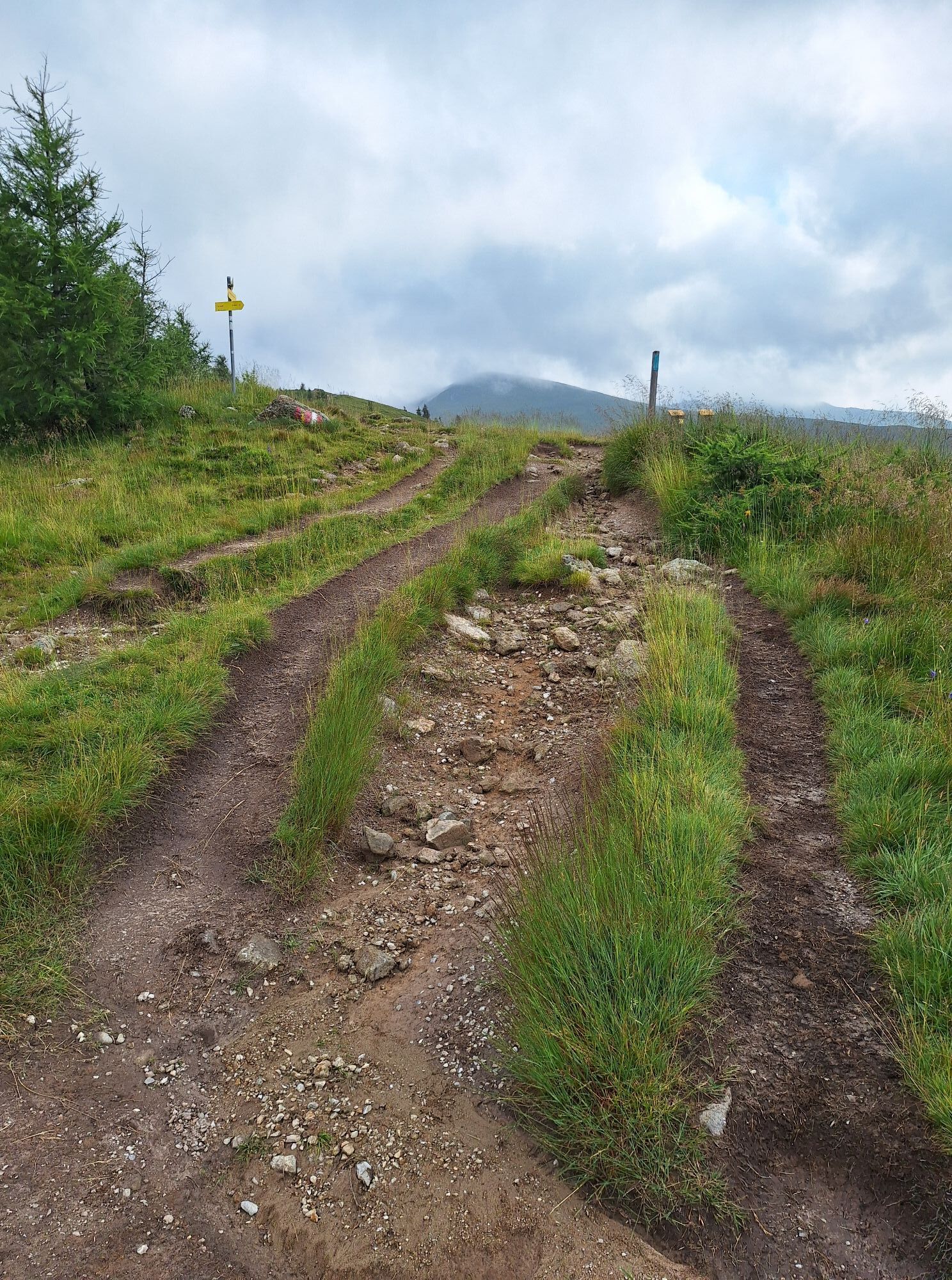

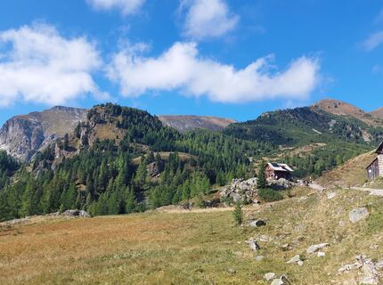
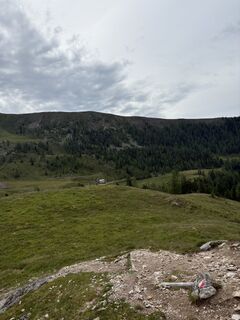
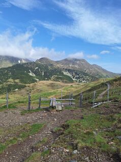
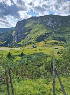
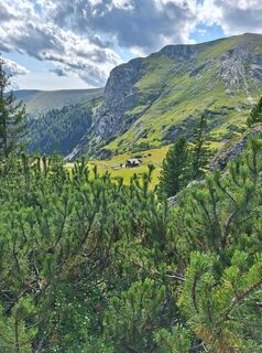
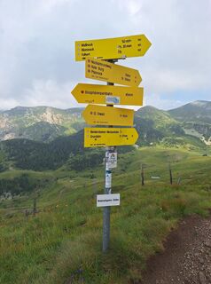
The beautiful hike begins with an ascent on the Biosphärenparkbahn Brunnach cable car. We march towards the Mallnock. On this path, we can get a beautiful view of the Mallnock, Klomnock, Steinnock, Falkert, Moschelitzen, and Totelitzen. The view towards Bad Kleinkirchheim lets us recognize the Kaiserburg, Wöllanernock, Strohsack, Kolmnock, and Mirnock.
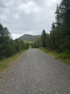
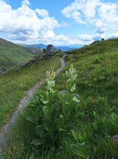
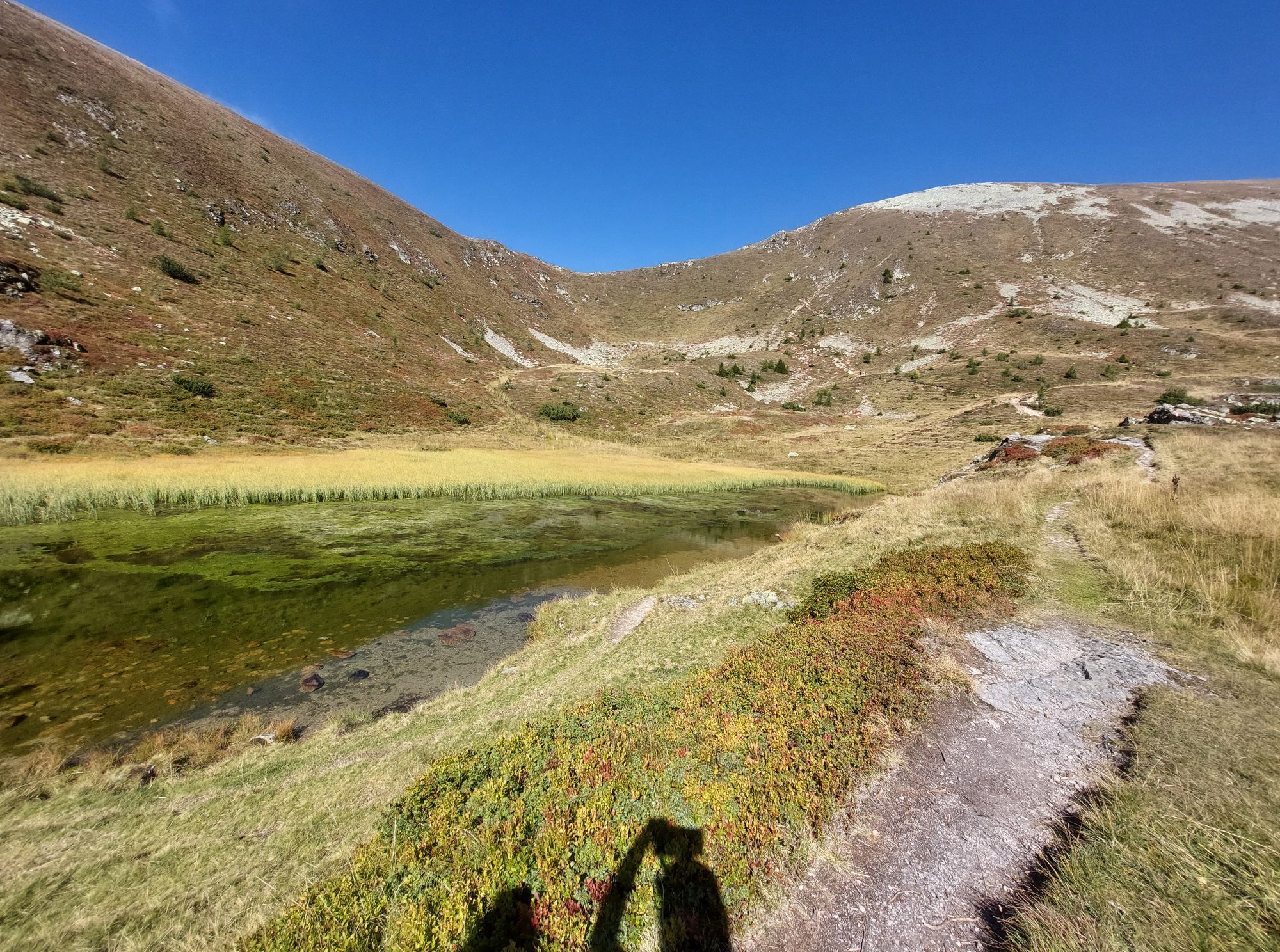
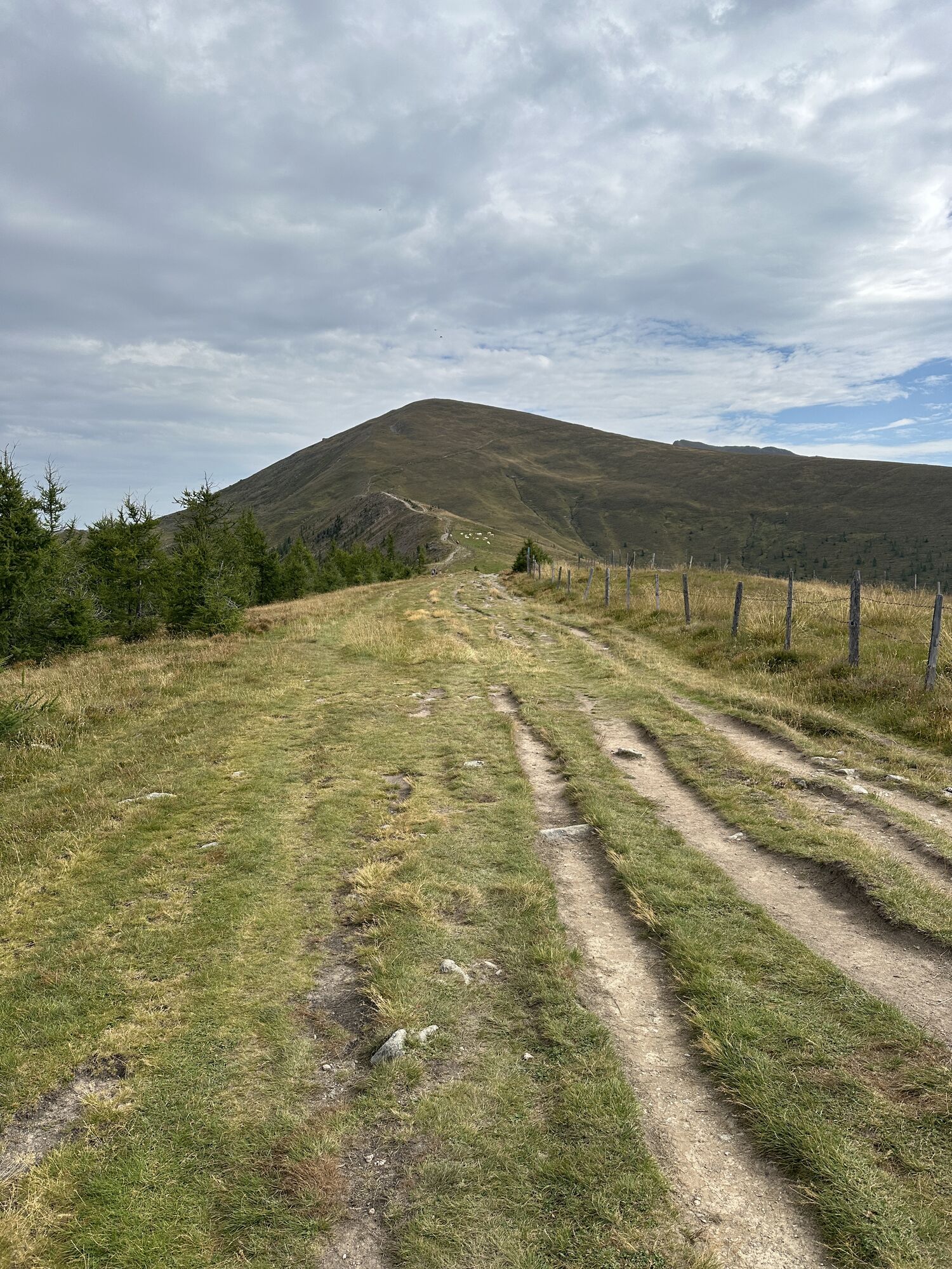
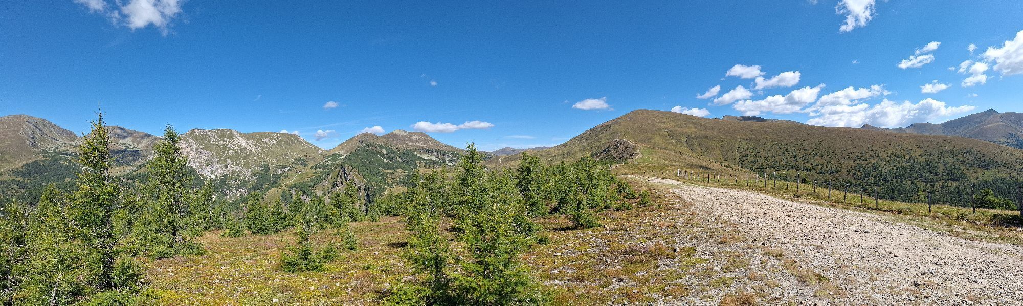
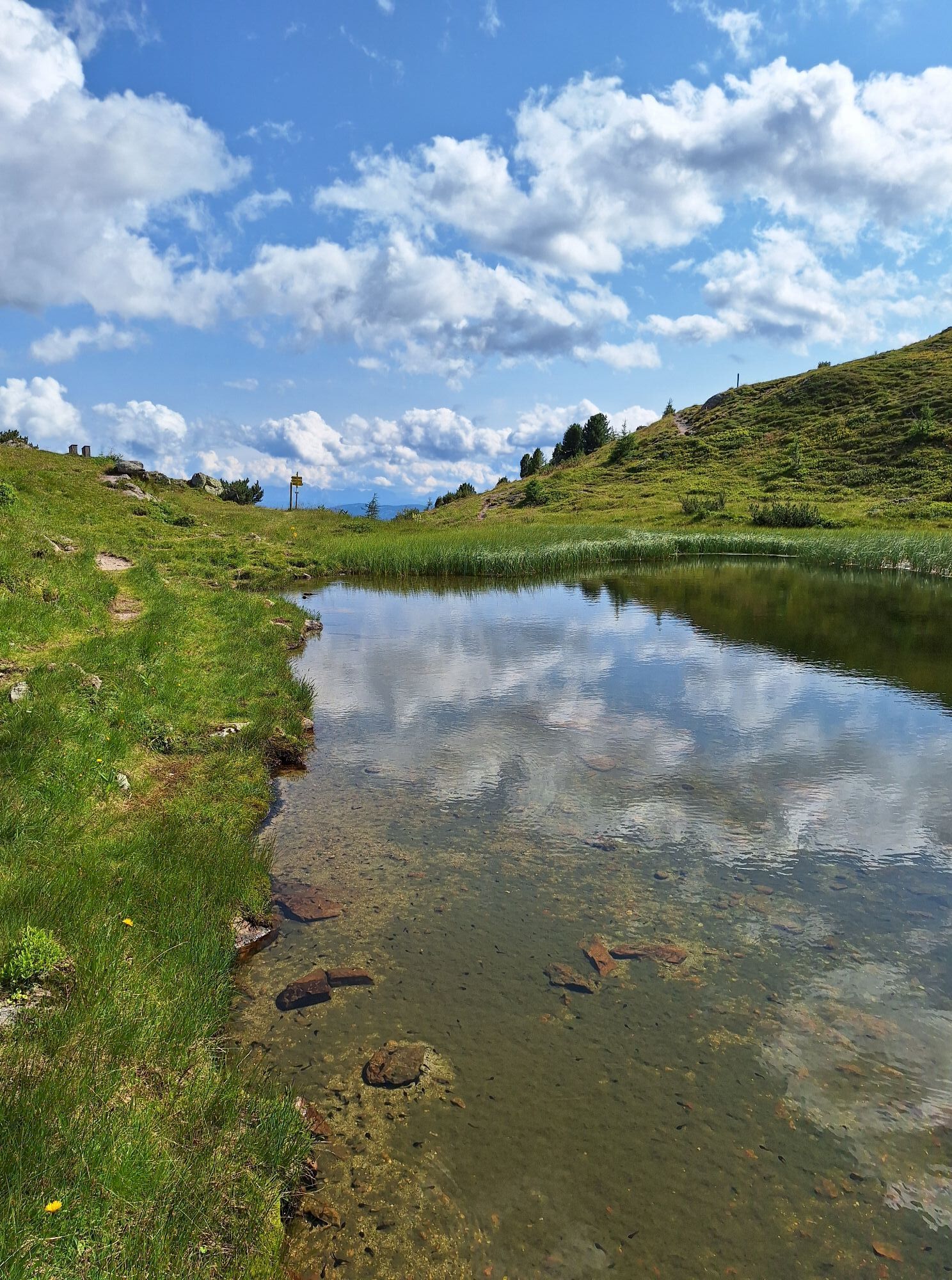
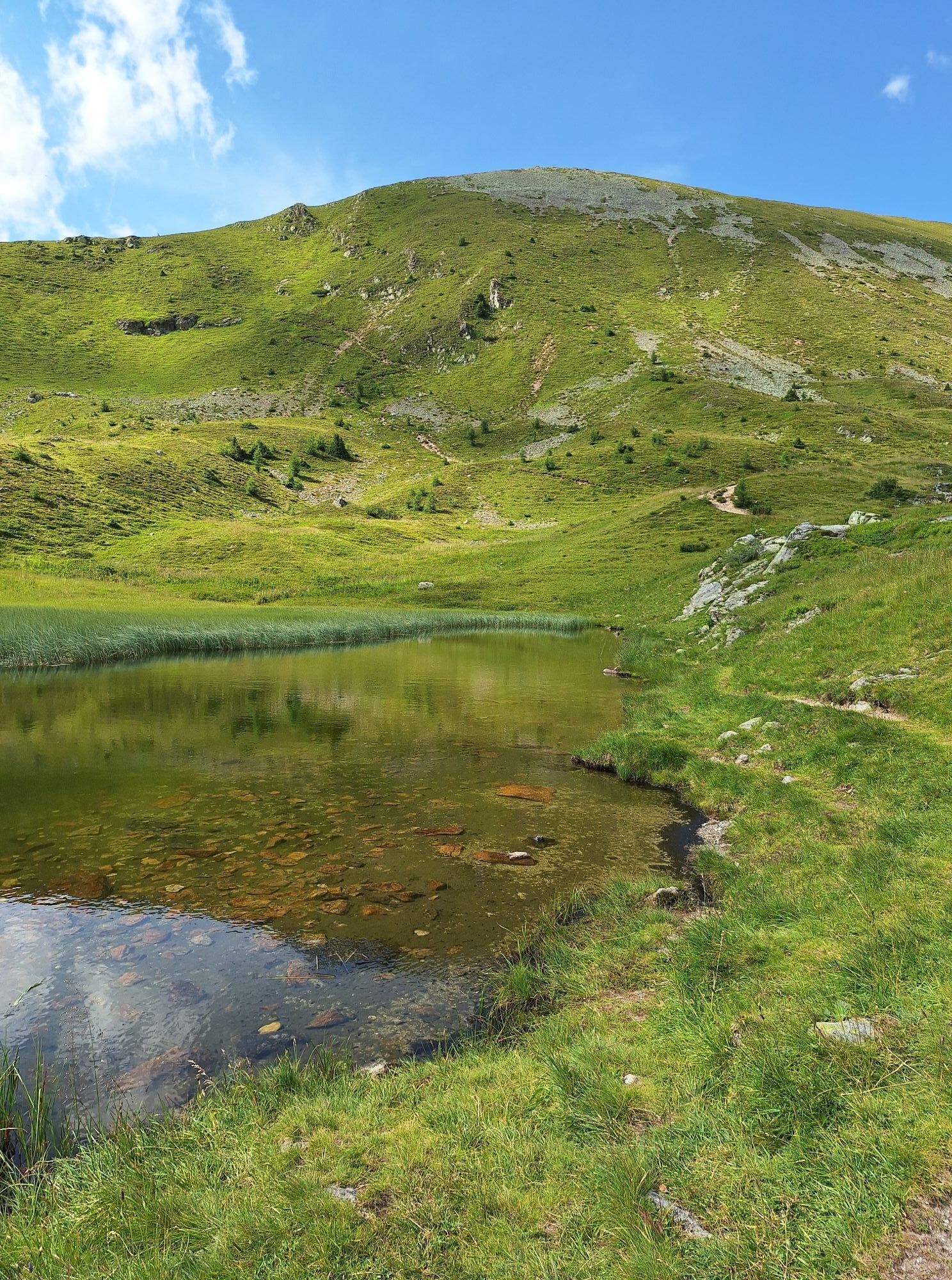
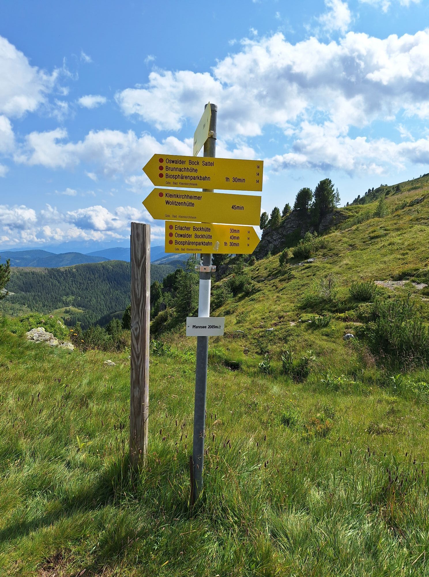
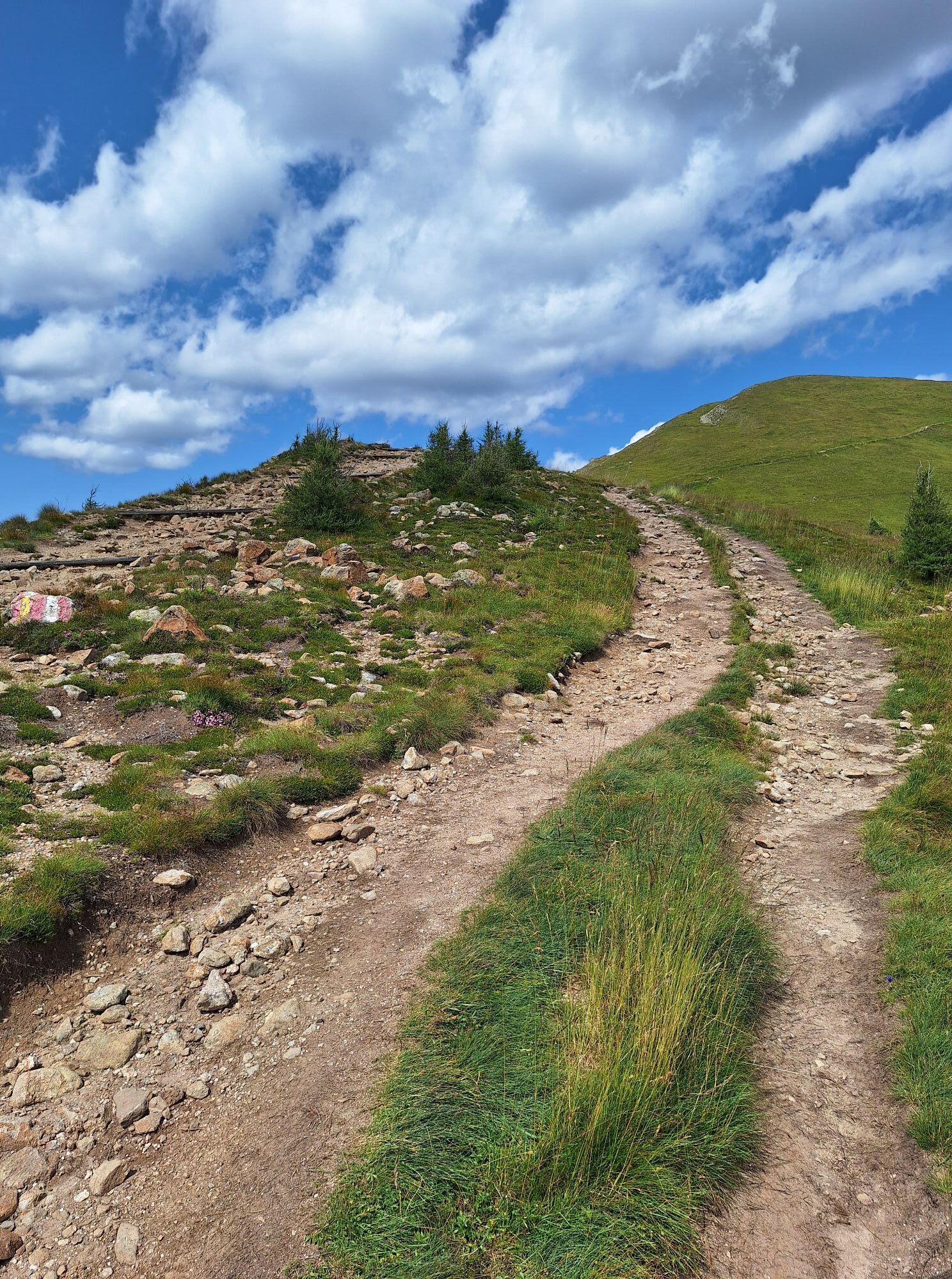
At the start of the ascent to the Mallnock, we turn left towards the "Rote Burg" (Red Castle). From there, we can also see the "Schwarze Burg" (Black Castle) very well (iron was mined here in the past). After the "Rote Burg," there is the Nockalmstraße road and the small Wolitzenhütte hut. We march towards the Pfannnock and reach the Pfannsee over a beautiful hiking trail. Tip: Energetic hikers can also climb the Pfannnock from the Pfannsee, which takes 1 hour round trip.
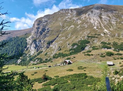
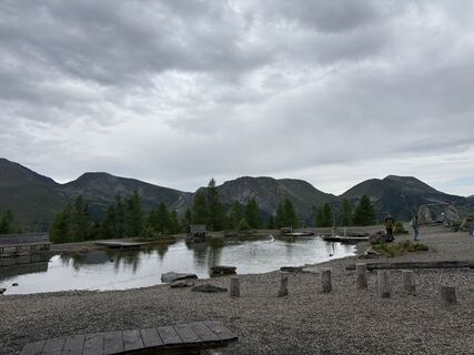
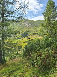
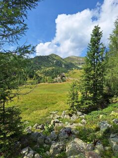
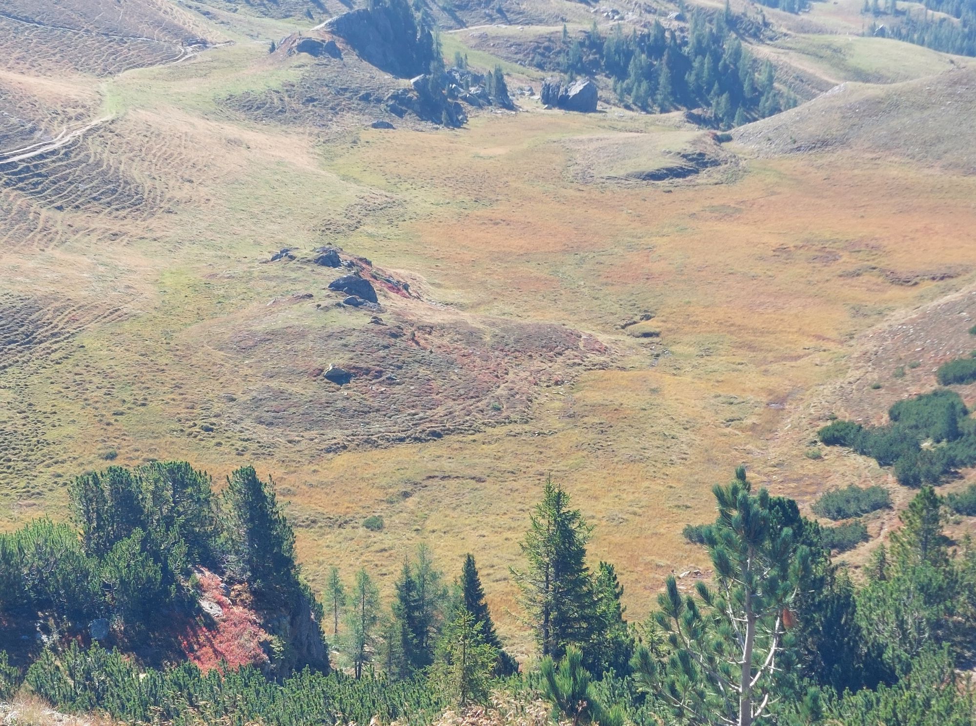
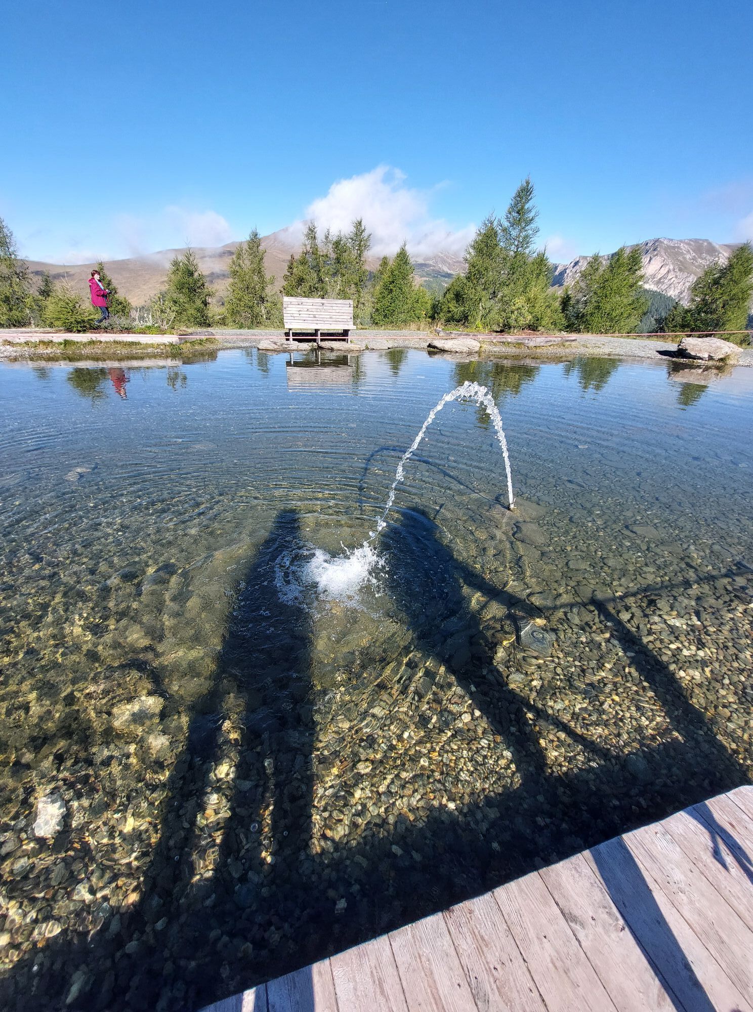
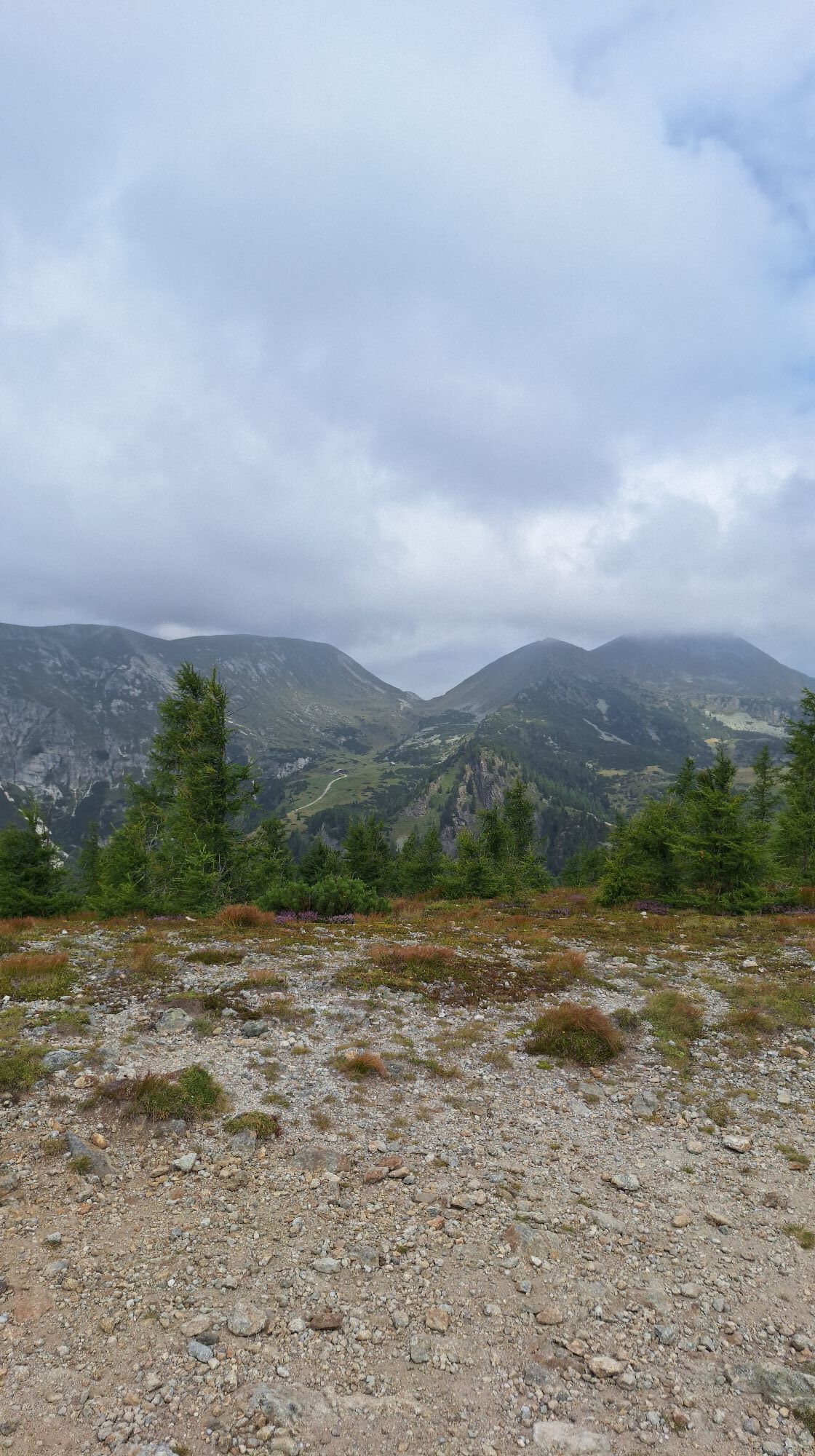
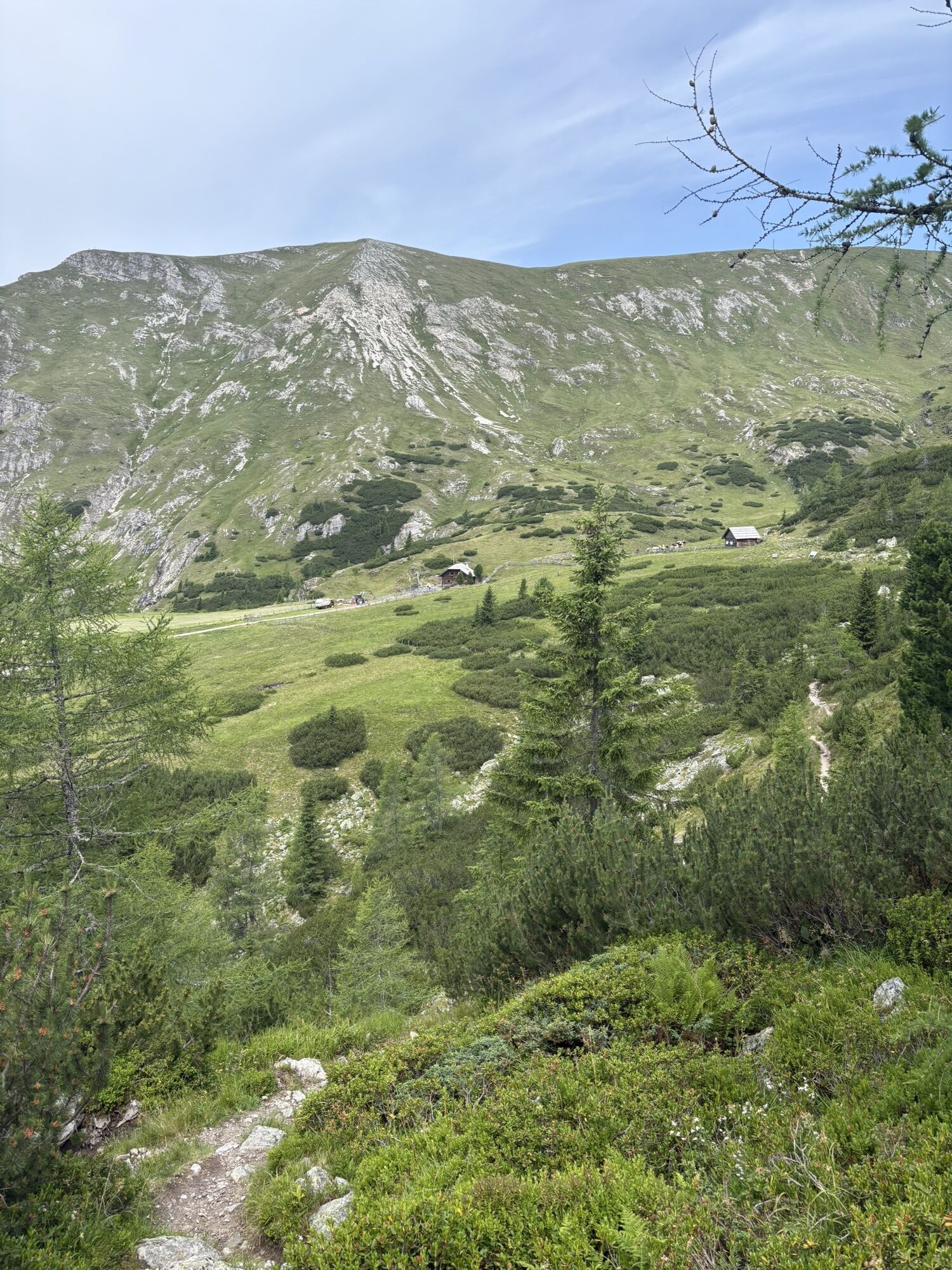
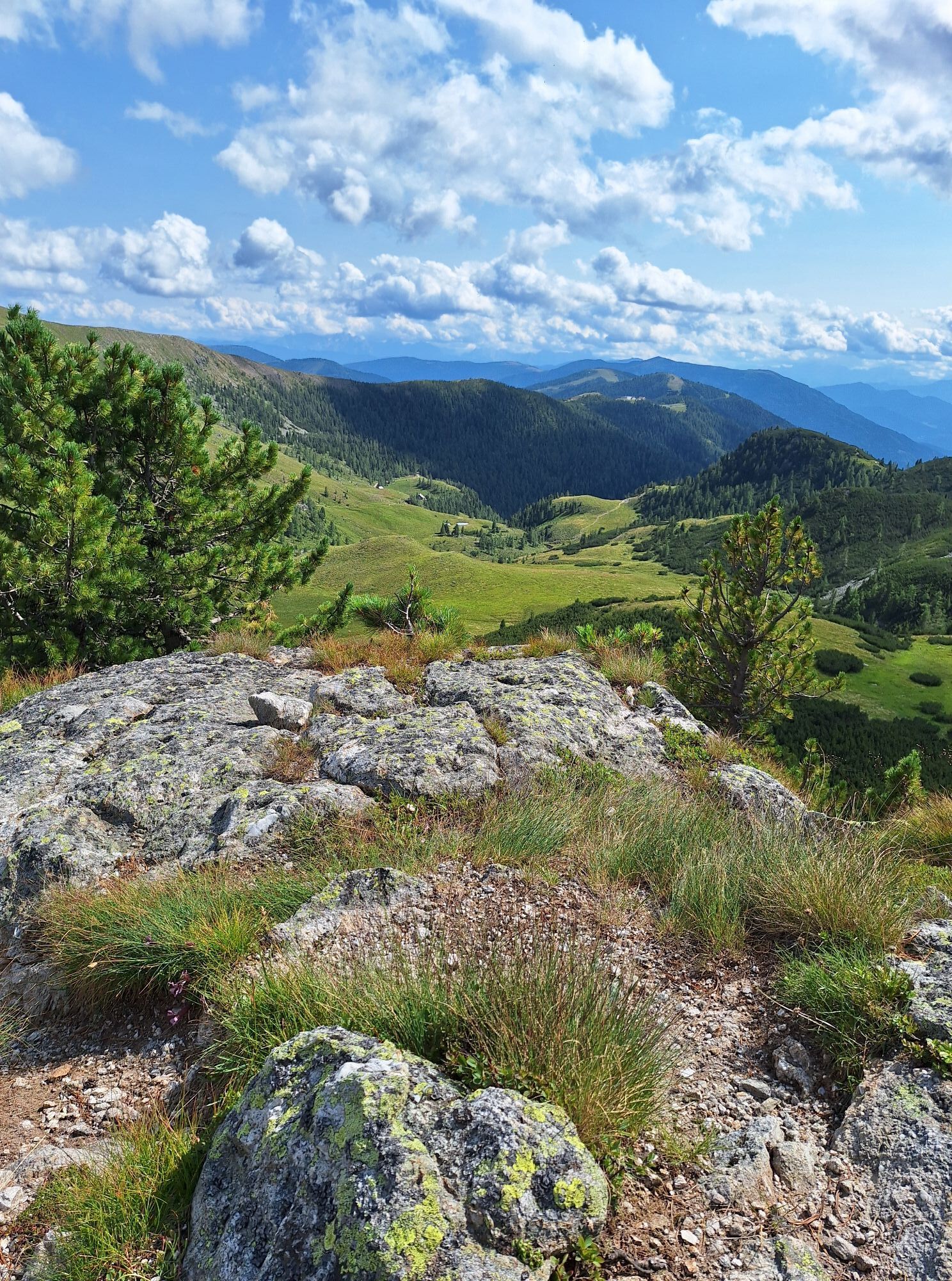
From the Pfannsee, we go towards Arkersattel, from where we also see the Kaninger Wolitzenhütte. We continue along the hiking trail to the St. Oswalder Bockhütte. There, we stop for refreshment and enjoy a delicious Kaiserschmarrn with "Grantn". If we want, we can also kneipp there and then massage ourselves with wonderfully aromatic speik oil.
The feeling is simply wonderful, and we feel like floating on clouds. From the St. Oswalder Bockhütte, we reach the Biosphärenparkbahn Brunnach in half an hour. There, we enjoy the beautiful view into the valley and return strengthened and in a good mood back to the Kirchheimer Tal, telling everyone about how beautiful it is here.
Ja
Ja
Important are good footwear, a weatherproof backpack, sun protection, warm and windproof clothing, sufficient drinks and snacks, a small first-aid kit, a hiking map, and a mobile phone.
www.sichere-almen.at
The 12 most important rules for behavior in the mountains
1. Every route should be carefully planned! What is the route like? Where are huts? How far are the distances?
2. Inform yourself about the weather forecast!
3. The equipment must be suitable: important are good footwear, a weatherproof backpack, sun protection, warm and windproof clothing, sufficient drinks and snacks, a small first-aid kit, a hiking map, and a mobile phone.
4. Inform the landlord or acquaintances where you are going and also when approximately you want to be back. In an emergency, it can also be helpful to register in the hut or summit books.
5. Adapt every mountain or mountain bike route you embark on to your personal condition. If children are involved, definitely adapt to their condition.
6. Avoid walking too fast! The pace should be adjusted to the weakest member of the group. Always take smaller breaks.
7. Do not leave the marked trails.
8. Caution is advised. Do not dislodge stones that could endanger other hikers. In rocky areas, animals like chamois can also often trigger rockfalls.
9. If a thunderstorm threatens, turn back in time. If you still get caught in a thunderstorm, stay away from solitary trees, do not stay on the summit or ridge, and move to depressions or valleys. Protection during a mountain thunderstorm is only offered by a secure shelter.
10. If an emergency occurs, stay calm. Get help by mobile phone, by shouting, or by attracting attention by waving larger pieces of clothing. Do not leave injured persons alone and try to move them out of the danger zone.
11. Dogs must always be kept on a leash!
12. Please keep the mountains clean and take your trash with you!
From Badkleinkirchheim along the L 13 St. Oswalder Straße to the parking lot at the Nationalparkbahn Brunnach.
Hoferriegel St. Oswald car/bus
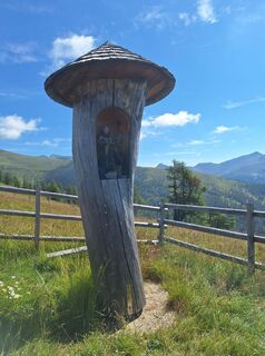
Image and text provided by Siegrun Pulverer / Thermenwelt Pulverer*****
Condition: Easy ridge hike suitable for all ages
Infrastructure: Cable car for the ascent from St. Oswald to Brunnachhöhe, cozy alpine hut for refreshments
Refreshment opportunities: St. Oswalder Bockhütte
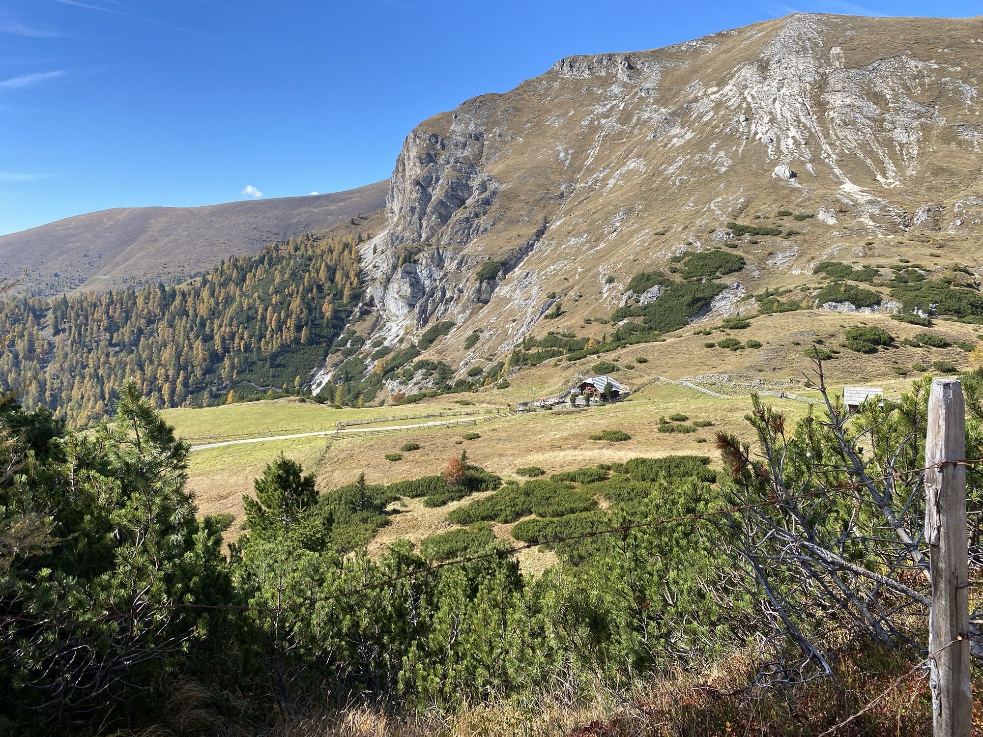
Experience points: Observe marmots up close, idyllic mountain lake, healthy altitude at 2,000 meters above sea level
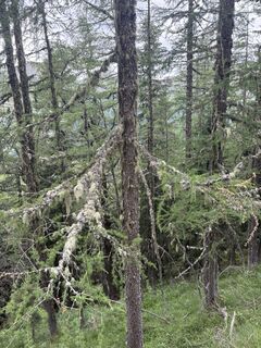
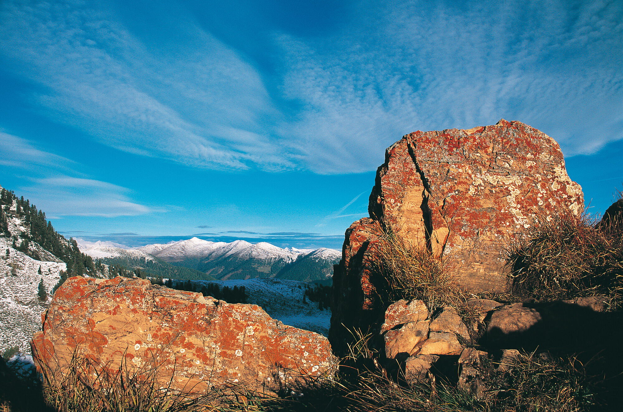
Impressive are the clear mountain streams with drinking water quality, the healthy mountain air, the friendly people you meet, and the great catering at the St. Oswalder Bockhütte. You feel the freedom and peace in the Nock Mountains. Currently (June-September) the scent of speik, which has a very calming effect (valerian plant), can be smelled everywhere. Marmots can also be heard whistling until the end of September, after which they go back into their well-deserved hibernation!
Populære ture i området
-
4.5
Rundweg über den Falkert
MediumVandring 6.26 km -
4.7
Lammersdorfer Hütte, Granattor Runde
lysVandring 9.85 km -
4.3
Sonnwiesen loop trail
MediumVandring 4.67 km -
4.3
Rundwanderung Millstätter Alpe
MediumVandring 15.8 km -
4.9
Nockbergrundwanderweg
MediumVandring 6.62 km -
4.7
Brunnachalm Biosphärenrunde
lysVandring 8.39 km -
4.1
Mirnock
lysVandring 4.54 km -
4.8
Enzian-Granatsteig & Almbrunn Steig
lysVandring 8 km -
4.4
Rödresnock und retour
MediumVandring 5.80 km -
4.6
Falkertsee - Sonntagstal - Falkert
MediumVandring 4.84 km

Vandring og sporing


Gå ikke glip af tilbud og inspiration til din næste ferie
Din e-mailadresse er blevet tilføjet til mailinglisten.