


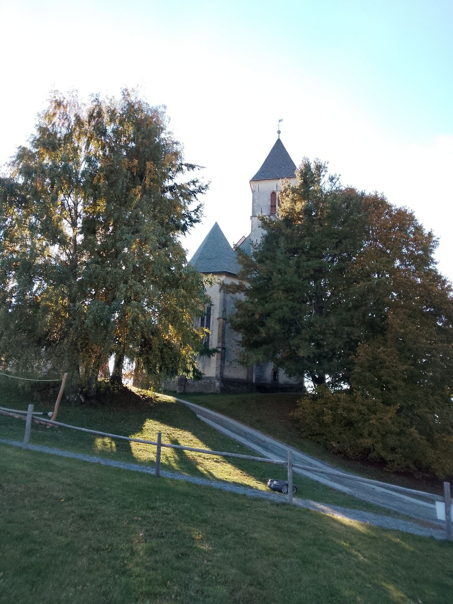
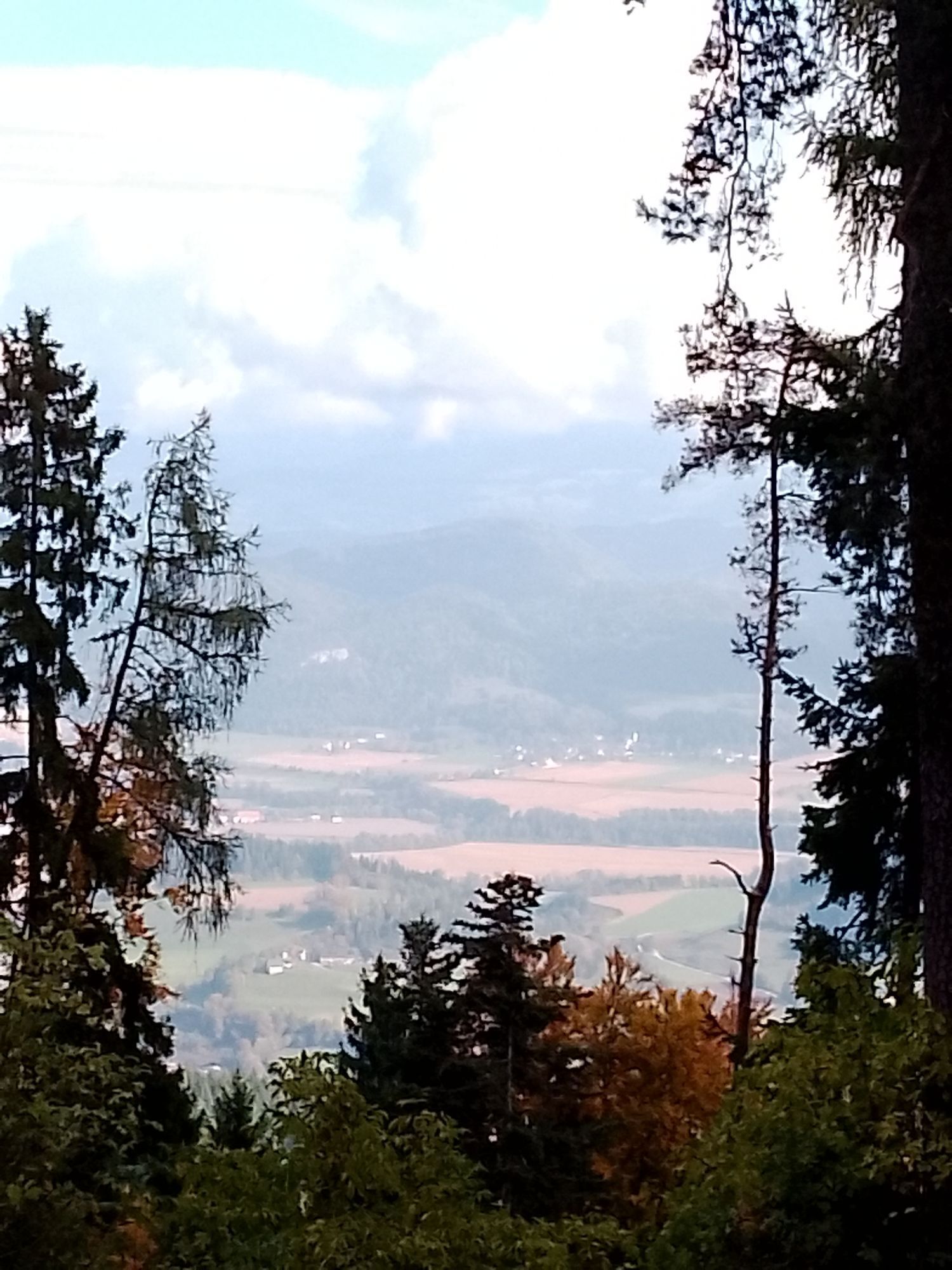

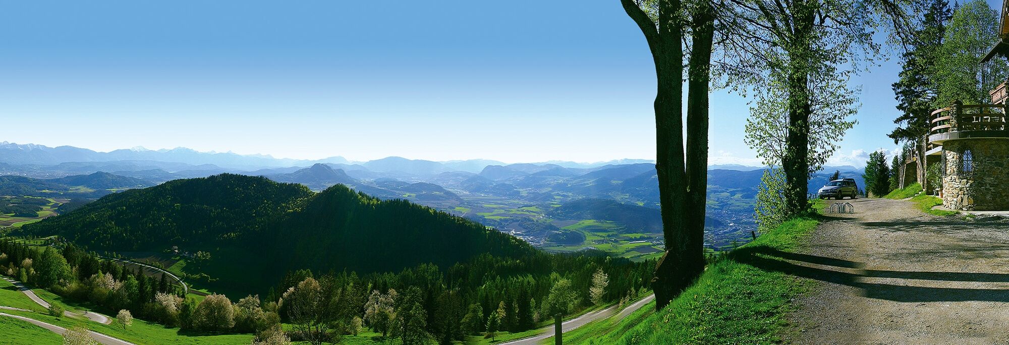
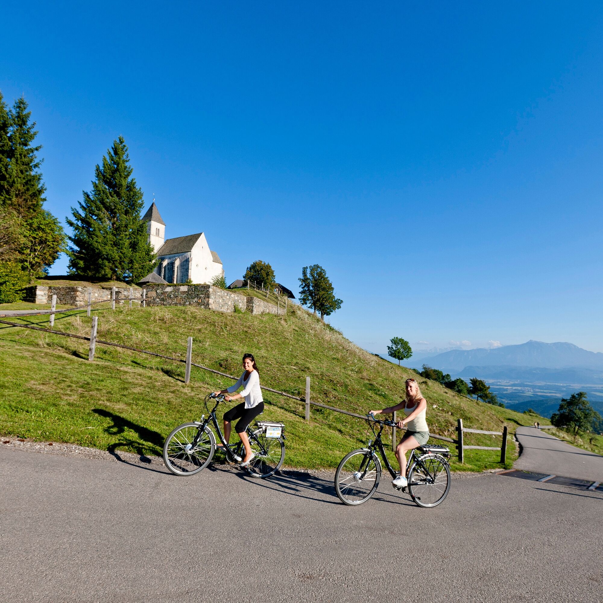
At the start of the 2nd stage of the trail, you can see the three other mountains of the entire route, Ulrichsberg, Veitsberg and Lorenziberg, before beginning the descent from Magdalensberg. Passing the...
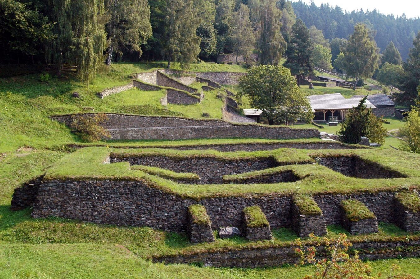
At the start of the 2nd stage of the trail, you can see the three other mountains of the entire route, Ulrichsberg, Veitsberg and Lorenziberg, before beginning the descent from Magdalensberg. Passing the Celtic-Roman excavations, the "Ancient city on Magdalensberg," you cross through the village of Ottmanach, where the world-famous musician Udo Jürgens grew up. Upon reaching the valley floor of Zollfeld, you encounter significant historical landmarks such as the Prunnerkreuz, the Herzogstuhl, or the Maria Saal Cathedral.
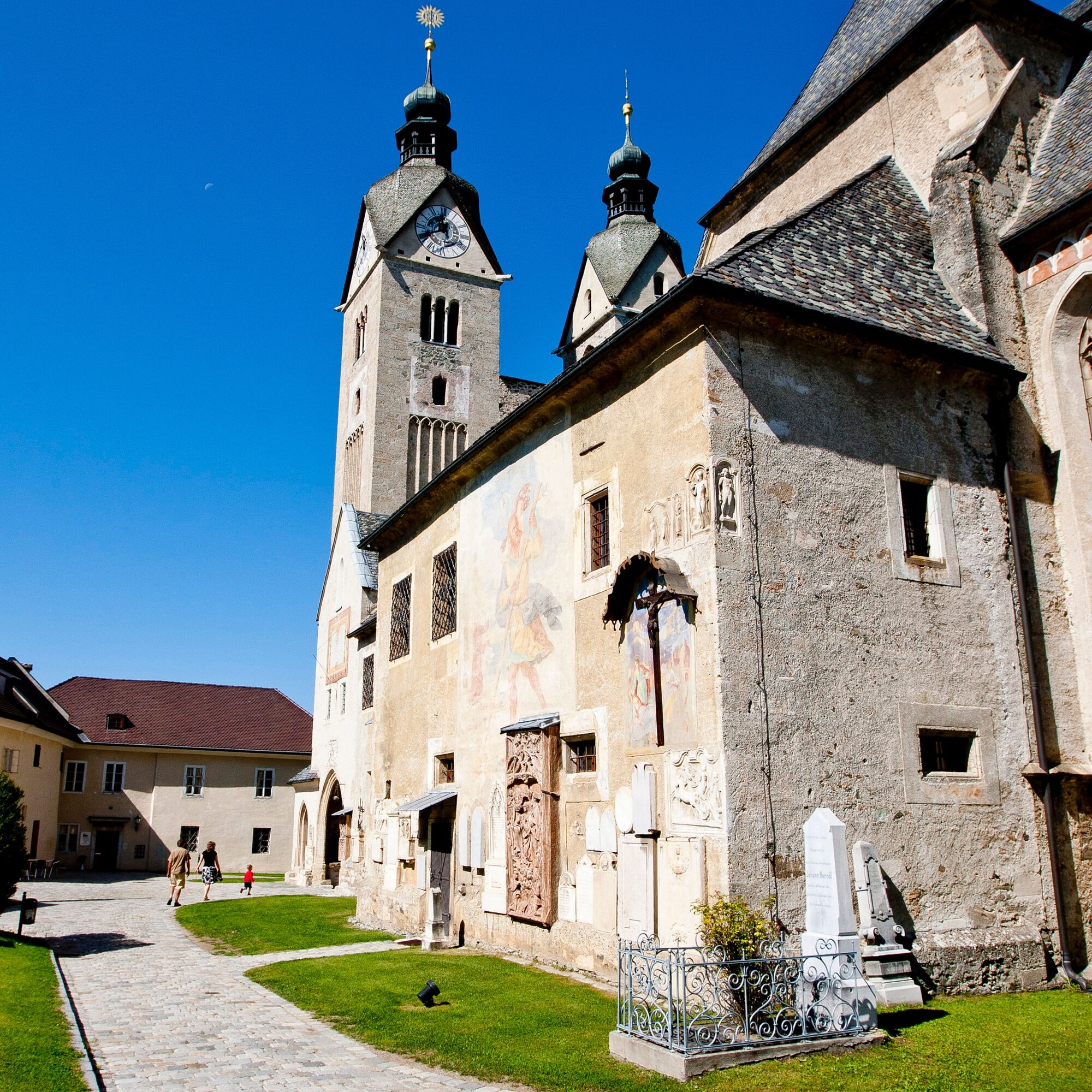
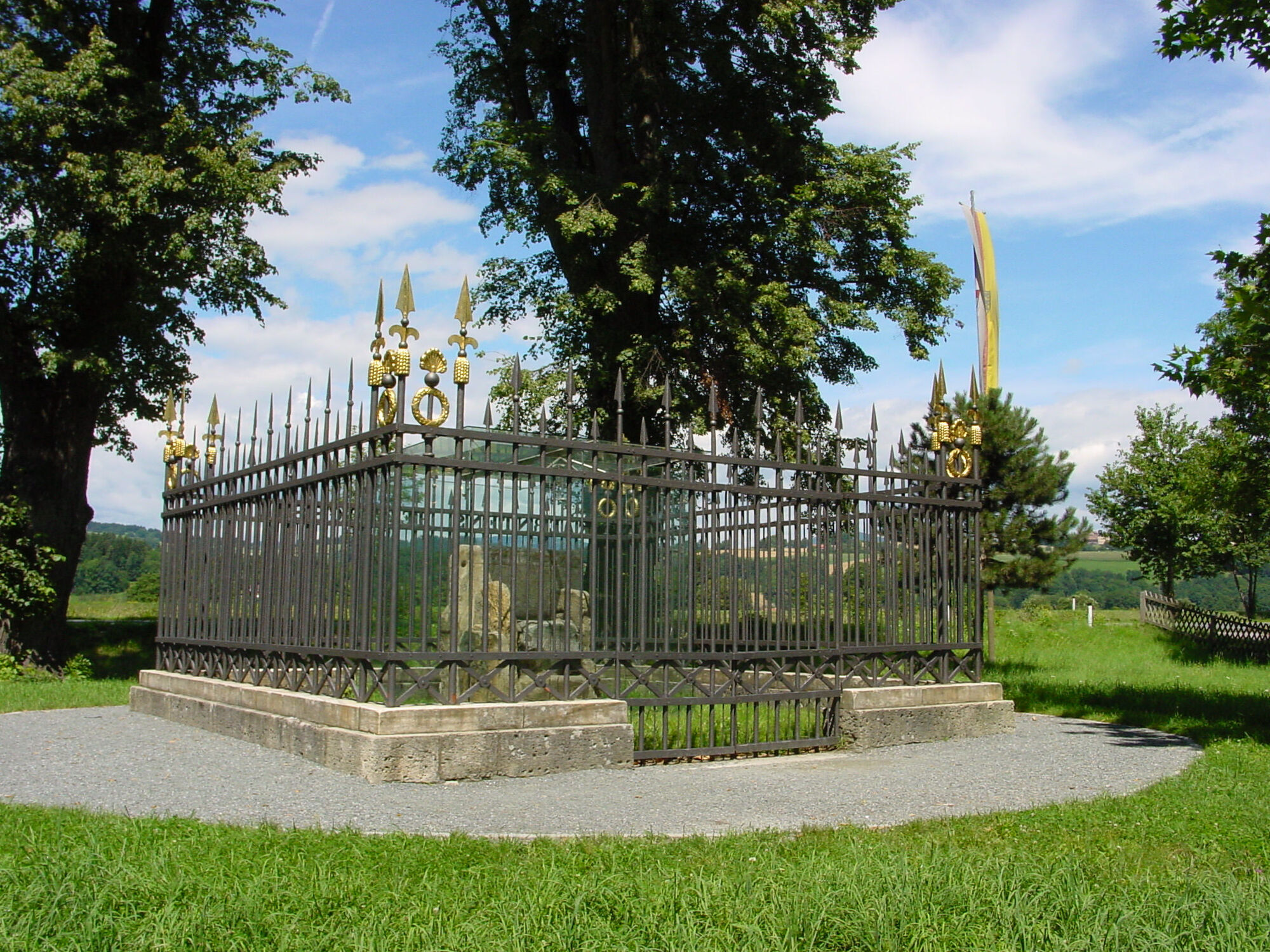
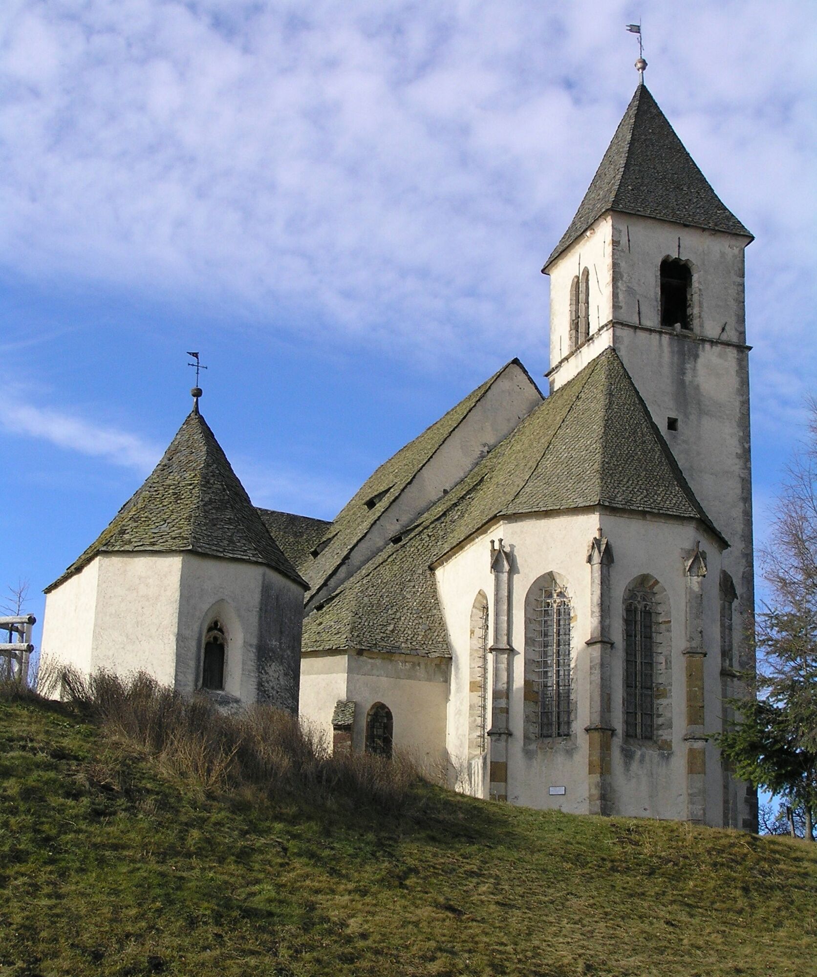

Follow the marked path from the summit of Magdalensberg to the village of Ottmanach (similar to the Marienpilgerweg), then turn north and overcome a short, steep climb until you reach Magdalensbergstraße. After a short stretch on the state road, the hiking trail turns into the forest, passing Schloss Meiselberg, and after another stretch in the forest, you reach the valley floor of Zollfeld. The Punnerkreuz, a niche chapel with built-in Celtic and Roman relief stones, guides the way further south until you reach the village of Arndorf. Here a detour to the Maria Saal Cathedral is recommended, or you can continue hiking to Herzogstuhl, where the 2nd stage ends.
The Maria Saal train station is also located nearby.
Ja
Good footwear and seasonally appropriate clothing are recommended.
Let someone know where you are going and when you will be back
By car via the S 37 St. Veit expressway or via the B 92 Görtschitztal road to Magdalensberg.
see oebb route planner
Parking available at the Magdalensberg summit house.
can be found at the responsible information office
Archaeological park at Magdalensberg
Populære ture i området
-
3.4
Kunstwanderweg rund um den Längsee (1)
lysVandring 5.43 km -
4.8
Vierbergelauf
MediumPilgrimsrute 47.6 km -
4.2
Ulrichsberg
lysVandring 5.60 km -
4.7
Abenteuer-Wasser-Weg
MediumVandring 9.13 km -
3.8
Schloss Frauenstein - Kraiger lake circular route
lysVandring 6.96 km -
4.7
Zillhöhe
MediumLøb 7.94 km -
3.7
MAGDALENSBERG RUNDWANDERUNG
MediumVandring 11.7 km -
4.3
Ulrichsberg
lysVandring 4.77 km -
4.6
4 Berge Lauf
MediumVandring i bjerge 46.7 km -
View Taggenbrunn (9)
lysVandring 7.18 km
Vandring og sporing


Gå ikke glip af tilbud og inspiration til din næste ferie
Din e-mailadresse er blevet tilføjet til mailinglisten.