


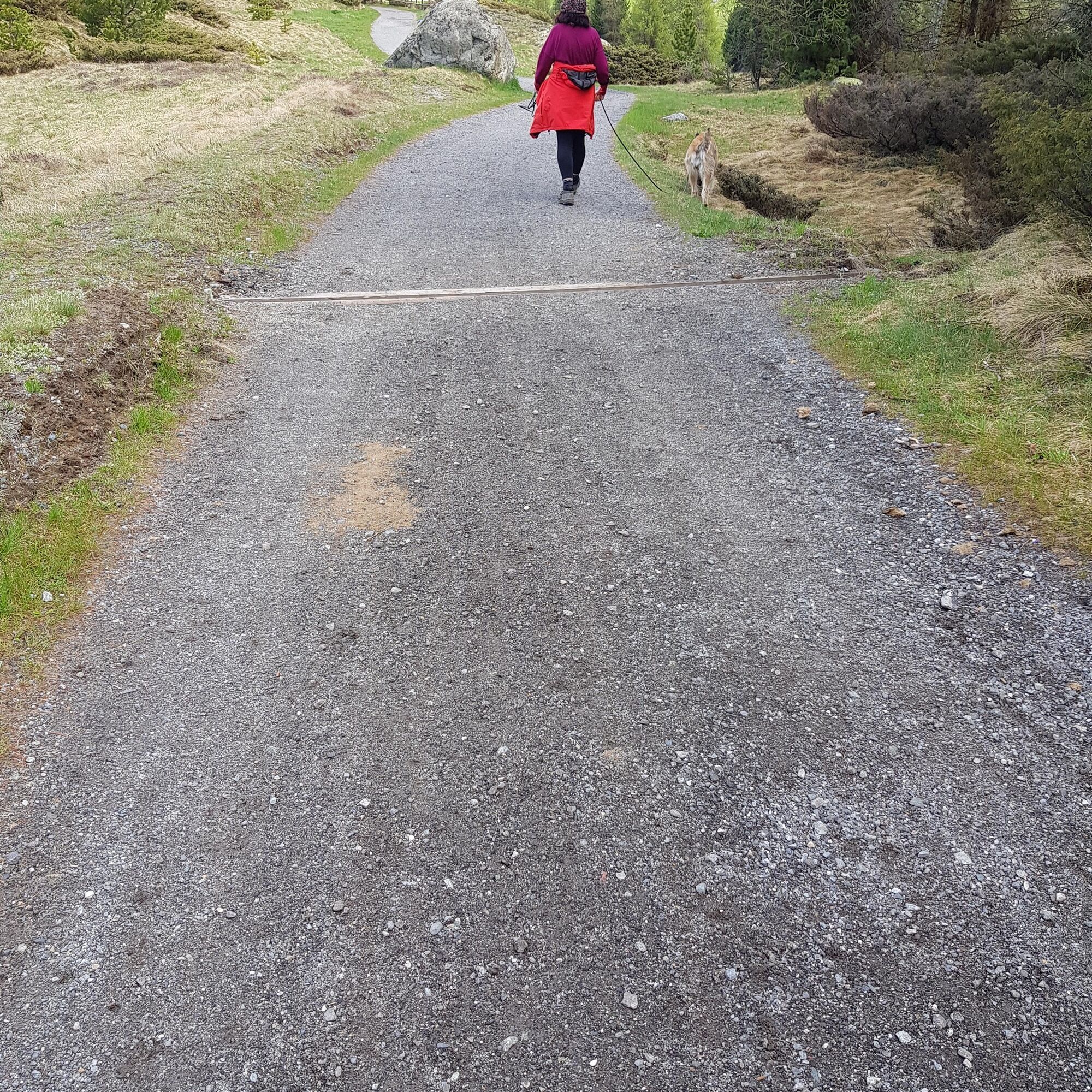
From Pontresina to Bever, this easy and wheelchair-accessible hike initially follows a section of the cantonal road from Pontresina railway station. After about one kilometre, however, the beautiful Flaz...
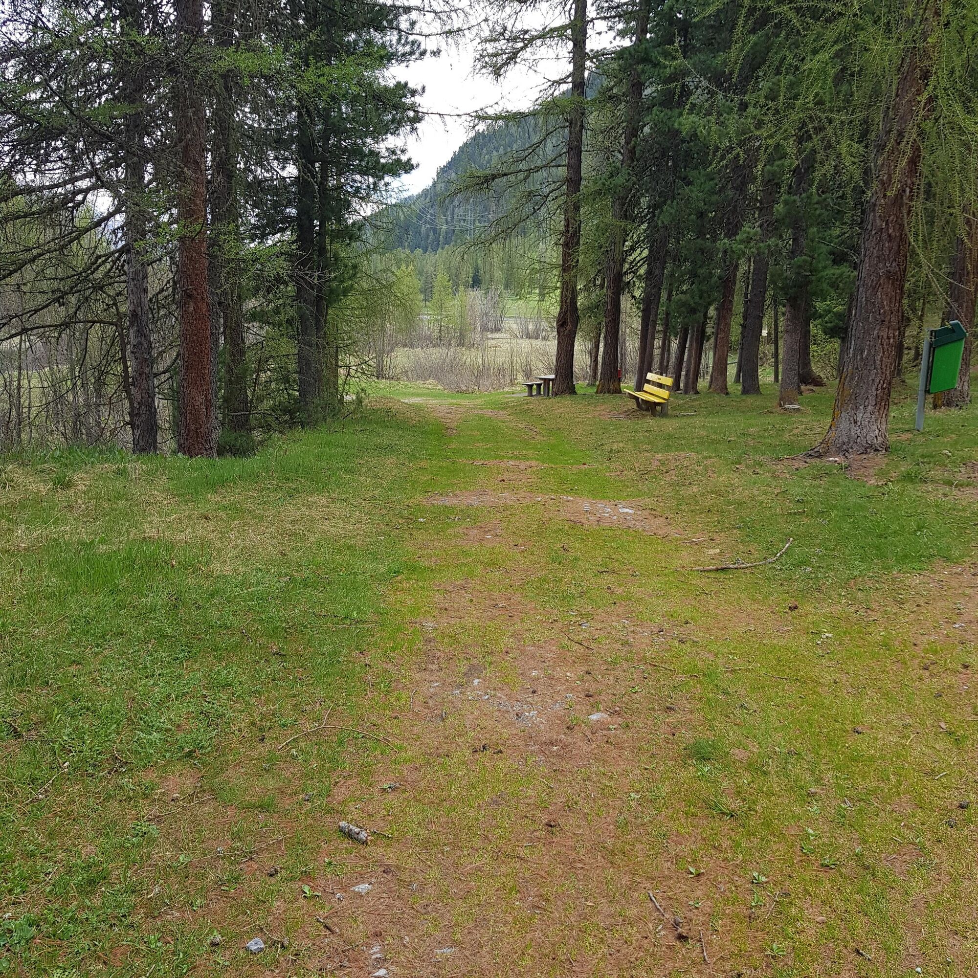
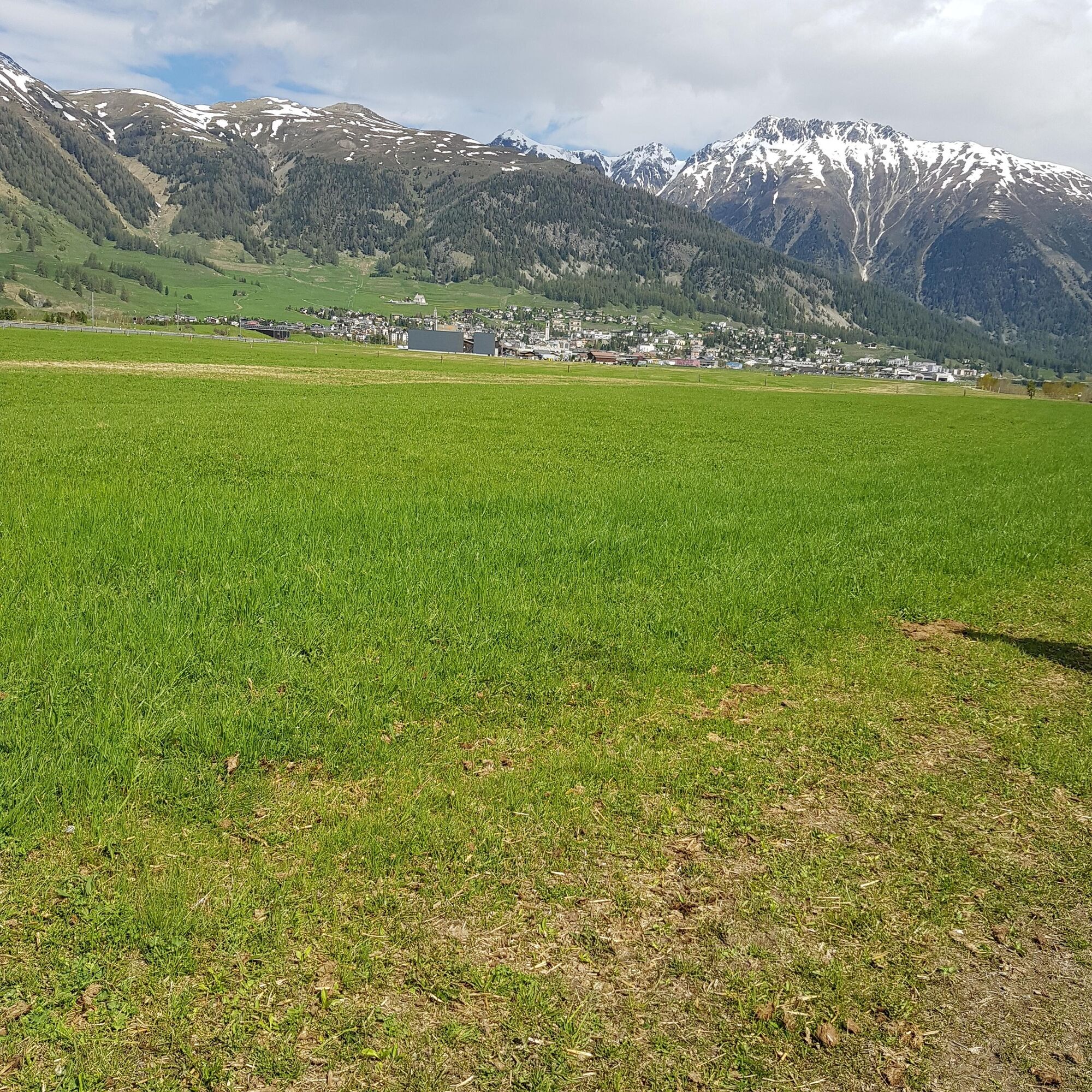
From Pontresina to Bever, this easy and wheelchair-accessible hike initially follows a section of the cantonal road from Pontresina railway station. After about one kilometre, however, the beautiful Flaz riverside path branches off, where benches invite you to linger and observe the riverside meadows. Between Samedan and Bever, the path leads through a renaturalized river floodplain area, which is home to a rich flora and fauna.
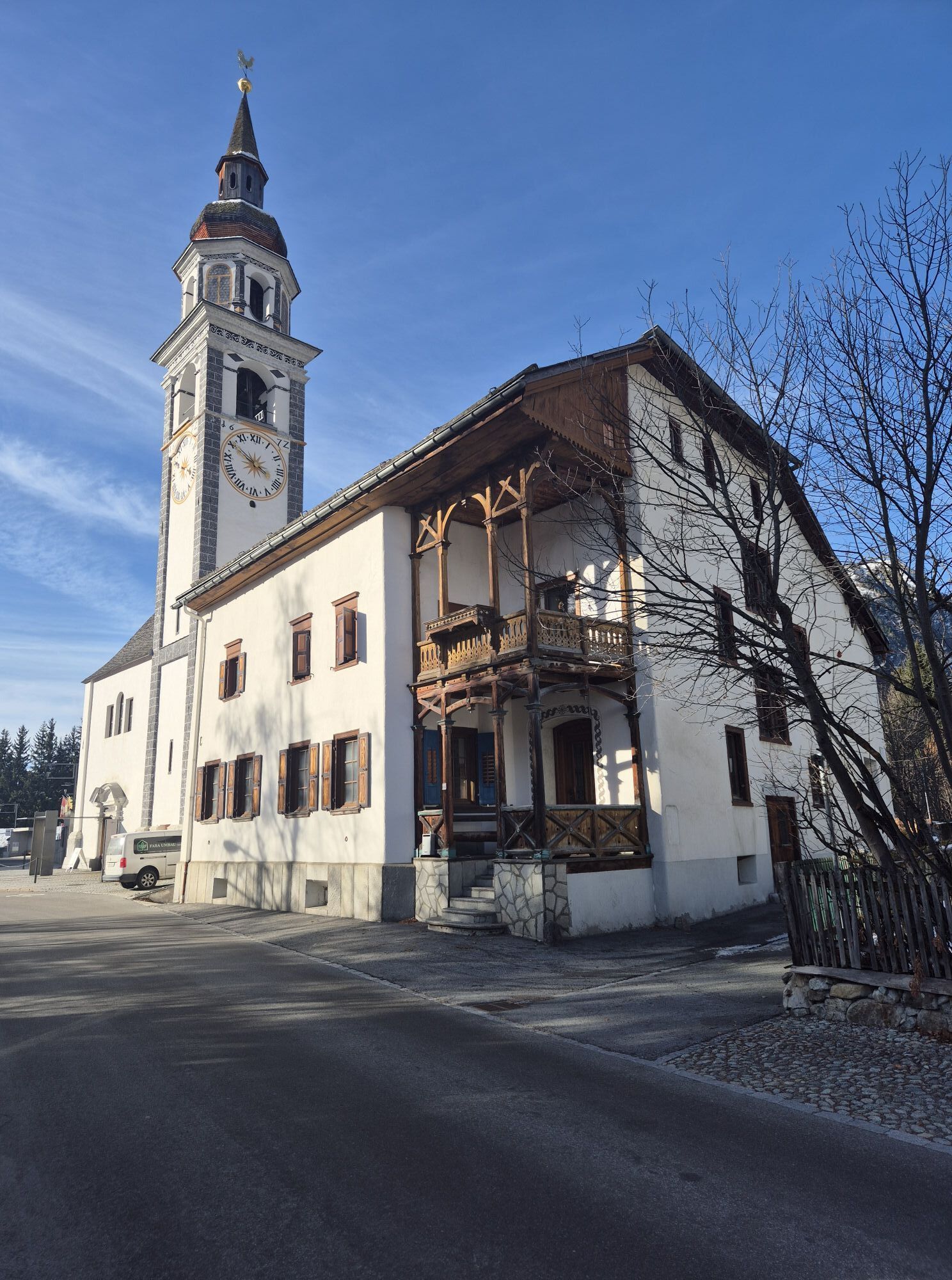
Several fire pits invite you to enjoy a cheerful picnic with friends and family amid this impressive nature (a wheelchair-accessible fire pit is available). This is certainly the most beautiful section of this leisurely hike. The last short stretch to Bever is a lightly trafficked paved road without a sidewalk, but the picturesque village itself is a wonderful hiking destination: impressive Engadin houses with deep-set windows and ornate sgraffito line the historic lanes. Here, you can treat yourself to an aromatic coffee or a tasty afternoon snack at the end of the rewarding hike through the magnificent Engadin landscape.
Further information
Engadin Tourism AG
Via Maistra 1
CH-7500 St. Moritz
Phone: +41 81 830 00 01
E-mail: allegra@engadin.ch
Internet: www.engadin.ch


Pontresina railway station - Punt Muragl - Gravatscha Lake - Bever
Ja
Ja
Ja
By car either via the Julier Pass and St. Moritz to Pontresina or through the Prättigau and the Vereina car shuttle to Sagliains, then up the main road into the Engadin.
By the Rhaetian Railway to Pontresina
By the Engadin Bus to Pontresina, railway station
Cuntschett car park
A dream for aviation fans, as the path leads past the runway.
Webkameraer på turen
-
Corviglia
-
St. Moritz / Samedan - Muottas Muragl
-
Camping Morteratsch
-
Samedo - Engadin Golf
-
St. Moritz / Samedan - Muottas Muragl
-
St. Moritz / Samedan - Muottas Muragl
-
St. Moritz / Samedan - Muottas Muragl
-
St. Moritz / Samedan - Muottas Muragl
-
Corviglia
-
Corviglia
-
Corviglia
-
Corviglia
-
Corviglia
-
Corviglia
-
Corviglia
-
Celerina - Skiwiese Provuler
-
La Punt - Wasserreservoir
-
La Punt - Wasserreservoir
-
La Punt - Wasserreservoir
-
La Punt - Wasserreservoir
-
Samedan - Engadin Airport
-
Sporthotel Pontresina
Populære ture i området
-
4.8
Circular hike Val Trupchun in the Swiss National Park
MediumVandring 13.8 km -
5.0
Muottas Muragl - Segantini hut - Pontresina
MediumVandring 6.46 km -
5.0
Morteratsch railway station - Boval Hut
MediumVandring 10.5 km -
4.7
Diavolezza - Munt Pers
lysVandring 3.82 km -
4.7
SAC Tschierva
lysVandring 24.7 km -
5.0
Alp Languard - Paradis hut - Pontresina
lysVandring 7.05 km -
4.5
Pontresina - Val Roseg - Pontresina
lysVandring 13.8 km -
Kesch Trek Tour (4 stages)
MediumLangdistance-vandresti 47.6 km -
4.8
Paradis route
lysVandring 4.81 km -
Muottas Muragl - Segantini Hütte - Pontresina
MediumVandring 17.5 km
Vandring og sporing


Gå ikke glip af tilbud og inspiration til din næste ferie
Din e-mailadresse er blevet tilføjet til mailinglisten.