


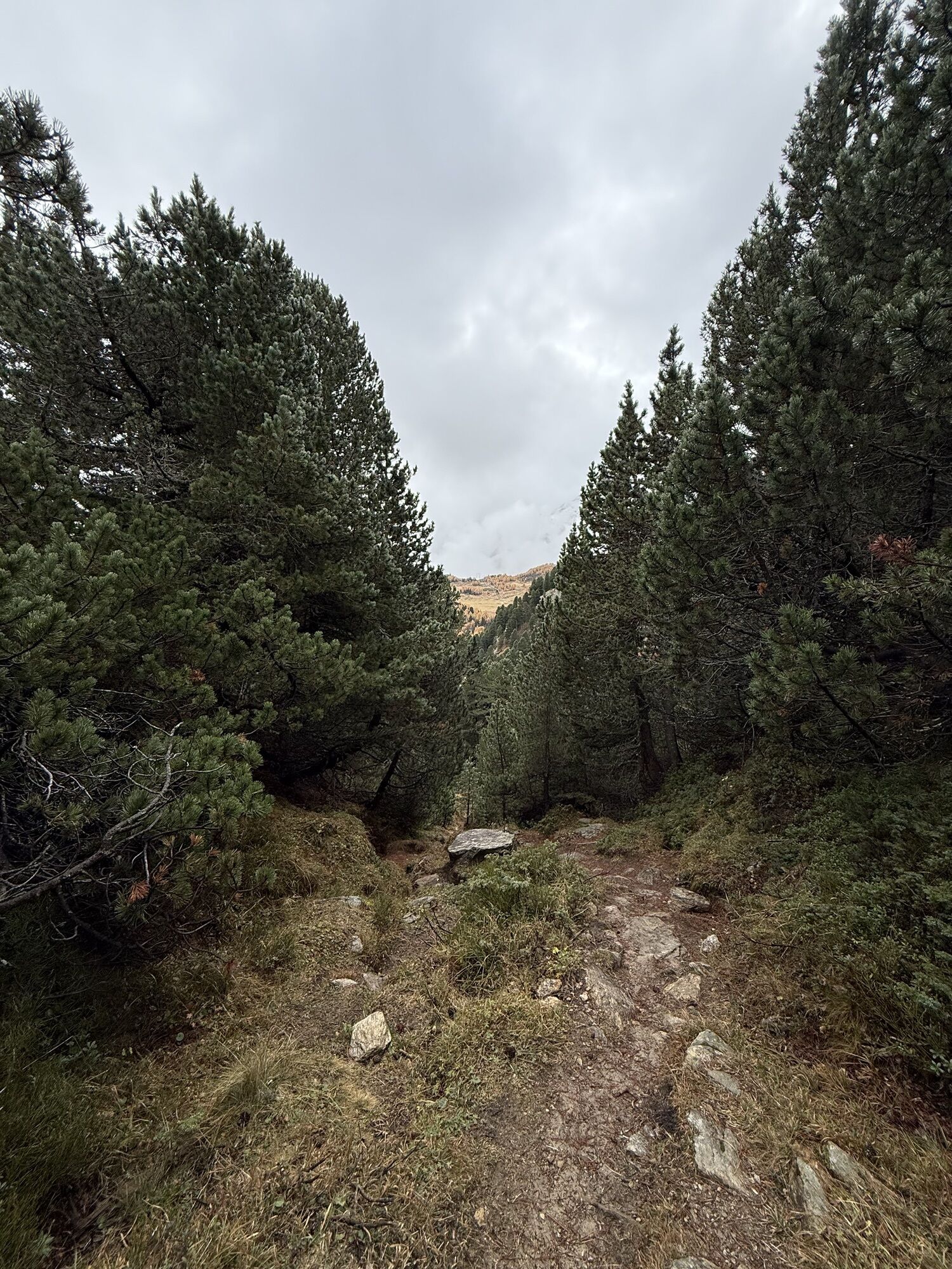
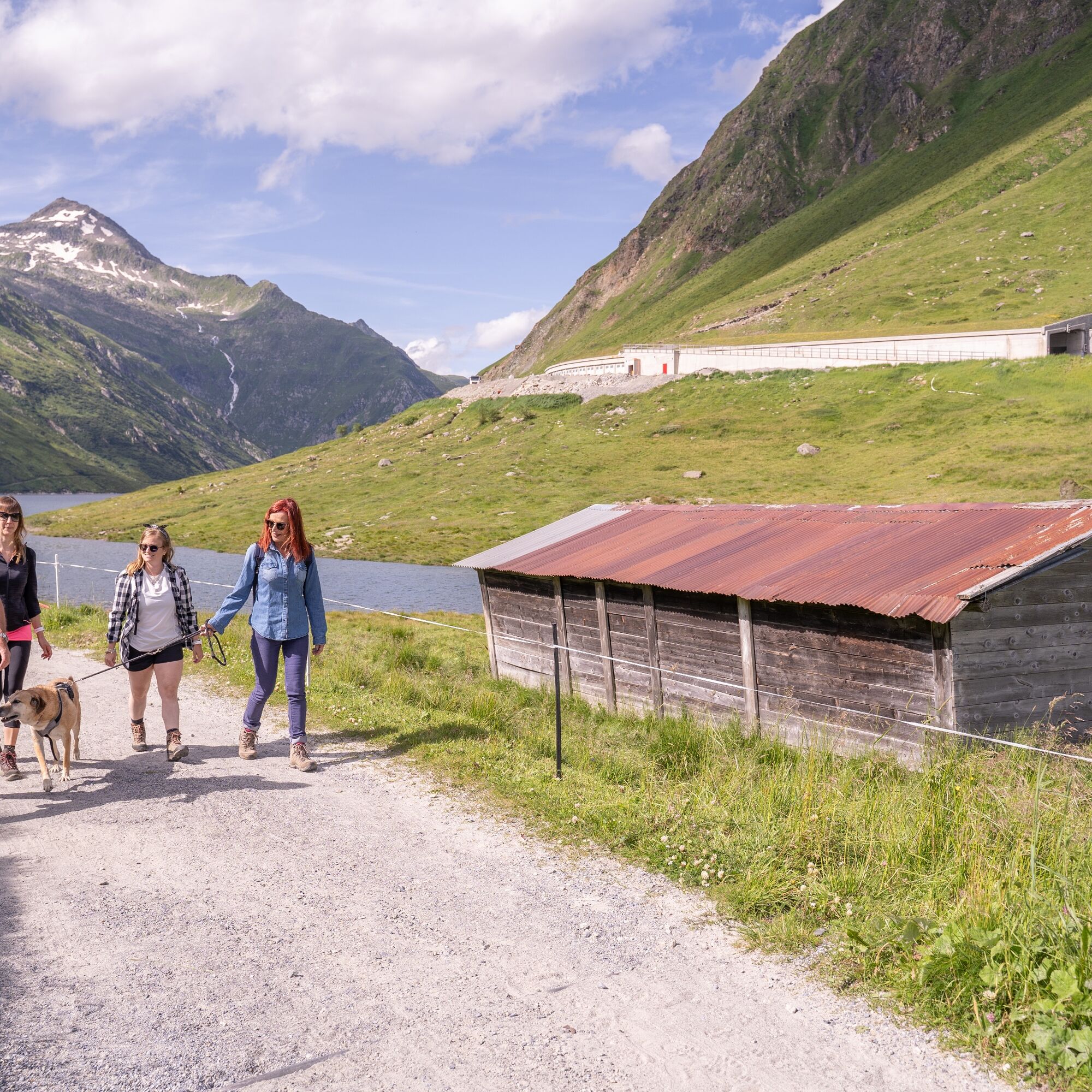
The trail starts at the Lukmanier Pass and heads along a flat dirt road to Alpe Croce. The trail winds its way on the right-hand side of the valley through flat pastures and reaches Foppa di Pertusio before...
The trail starts at the Lukmanier Pass and heads along a flat dirt road to Alpe Croce. The trail winds its way on the right-hand side of the valley through flat pastures and reaches Foppa di Pertusio before descending to Alpe Casaccia, crossing the Brenno River.
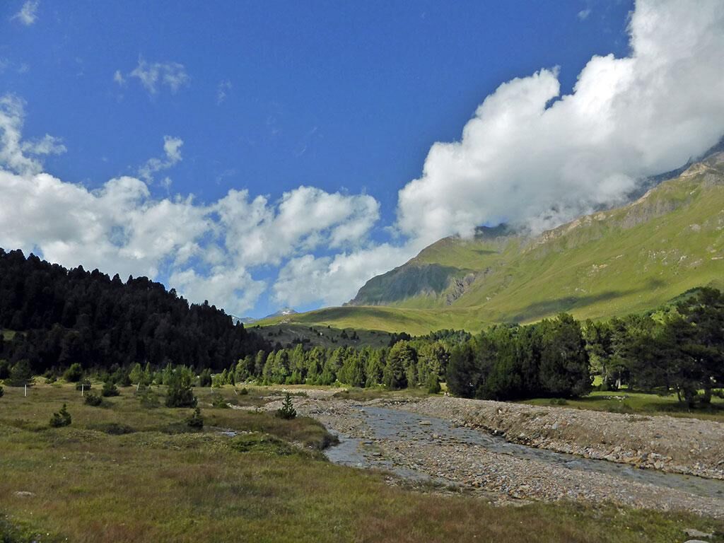
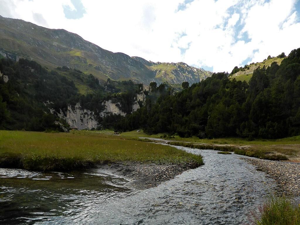
Climb back up the left-hand side and continue in the direction of Alpe Pertusio on a flat trail along the river, which on sunny days is coloured in wonderful pale blue hues with white sandy coves.
It is a very picturesque stretch of river: the river with its sinuous bends, one after the other, creates a unique riverbed, which generates a unique ecosystem after each flood.
In addition to the trout in the water, there are hundreds of species of insects such as mayflies, stoneflies and caddisflies. What is more, life does not stop at the visible parts: even in the sediment under the gravel several metres deep, it is possible to encounter tiny aquatic organisms.
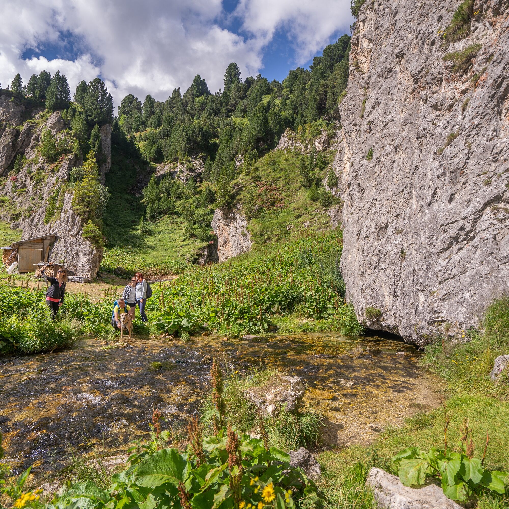
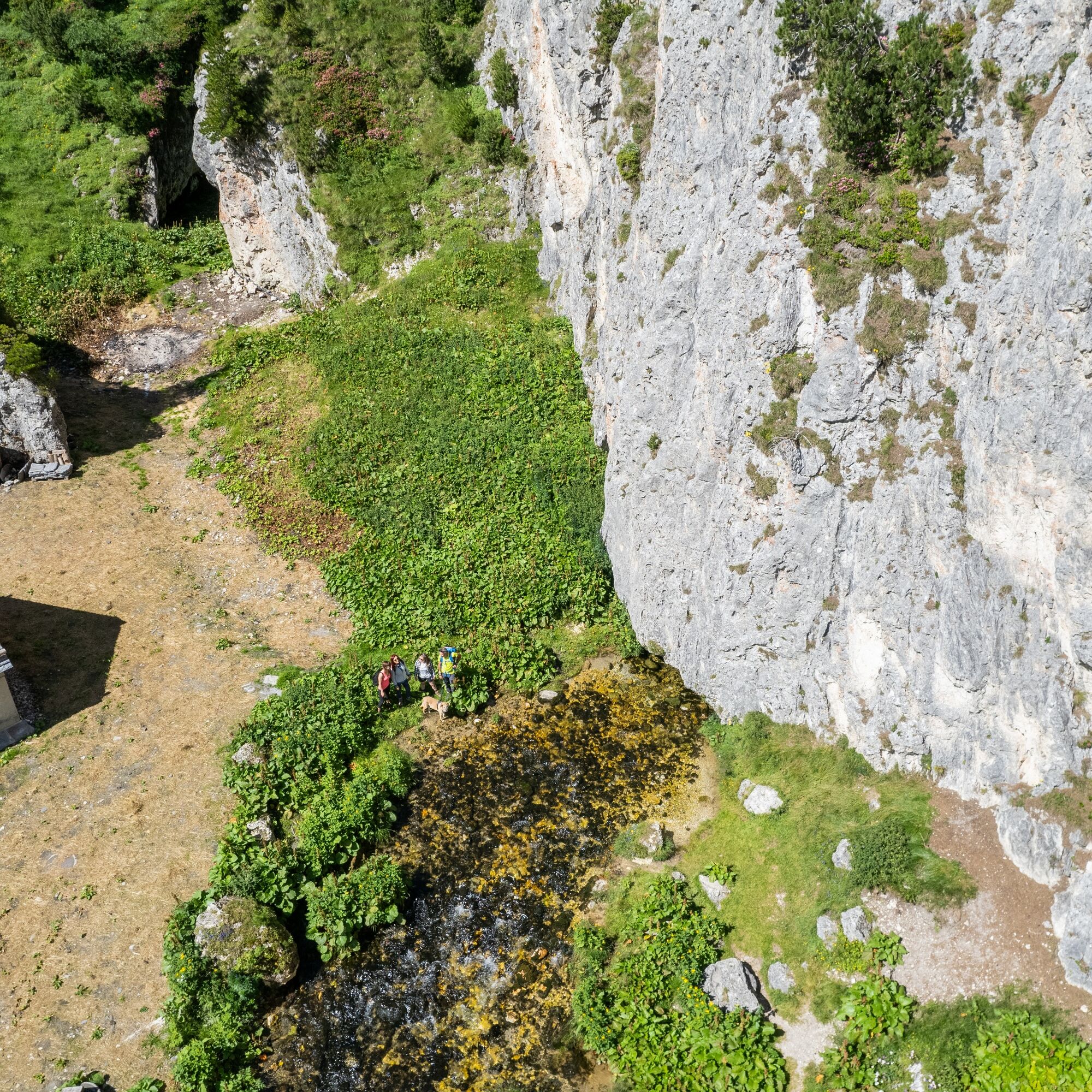
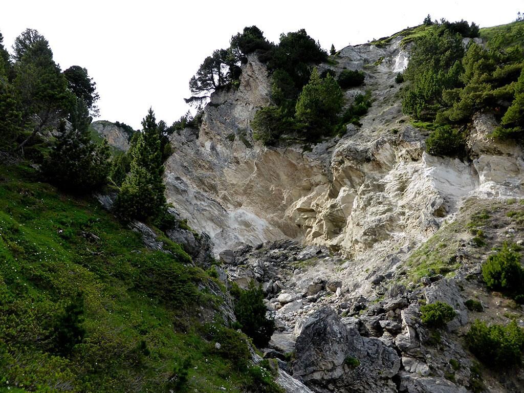
Note immediately the signpost indicating the source of the Brenno River, which can be reached in a matter of minutes.
The spring is a truly marvellous spectacle: the water gushes out clear and pure directly from a crevice at the foot of the mountain. With a maximum flow rate of 1300 l/s, it is one of the largest in the canton: two divers managed to explore 300 metres of it, reaching a depth of 45 metres!
The trail then immediately ascends in a northerly direction, through a fairly steep, short passage to return to the starting point along the wide meadows of the Lucomagno Pass.
Ja
Waterproof clothing, light and warm
Hiking boots
First aid kit with penknife
Sunglasses, sun cream, water-bottle
Hiking map/topographic map
Compass
Camera
Food
Montagnepulite: This project was born to promote an effective management and sustainable use of mountain huts in Ticino, and in particular the litter management. The responsible management of litter in the mountains is a matter of common sense. We can all contribute: www.montagnepulite.ch
Populære ture i området
-
Rheinquelle - Lai da Tuma
MediumVandring 5.67 km -
Val Piora lakes route
MediumVandring 15.8 km -
Giro della Greina
Vandring 50.6 km -
The Greina plateau and its arch
MediumVandring 18.0 km -
Lai Blau
Vandring 8 km -
Arco della Greina (Greina Naturbogen)
Vandring 7.09 km -
5.0
Lukmanier Pass - Cadlimo Hut
MediumVandring 9.80 km -
Lukmanier Alps
MediumVandring 13.2 km -
5.0
lago retico
lysVandring 9.81 km -
3-Tagestour Greina-Lucomagno: Capanna Bovarina - Lukmanierpass (Etappe 3)
MediumVandring 7.97 km

Vandring og sporing


Gå ikke glip af tilbud og inspiration til din næste ferie
Din e-mailadresse er blevet tilføjet til mailinglisten.