


Billeder af vores brugere
The start and end point of this circular route is the Rothorn summit, which can be comfortably reached by Rothorn cable car or on foot. The path leads from the Rothorn mountain station first to the Rothorn...
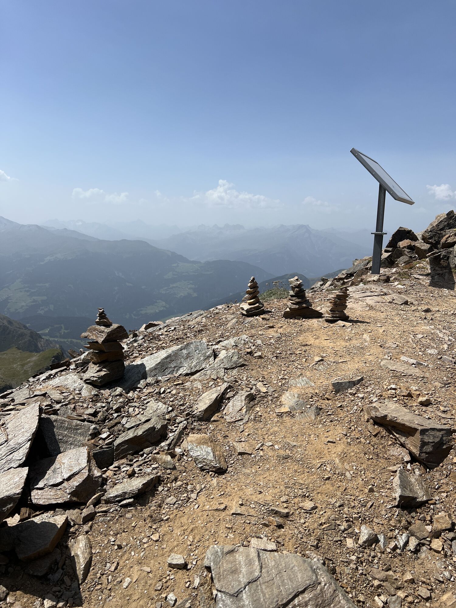
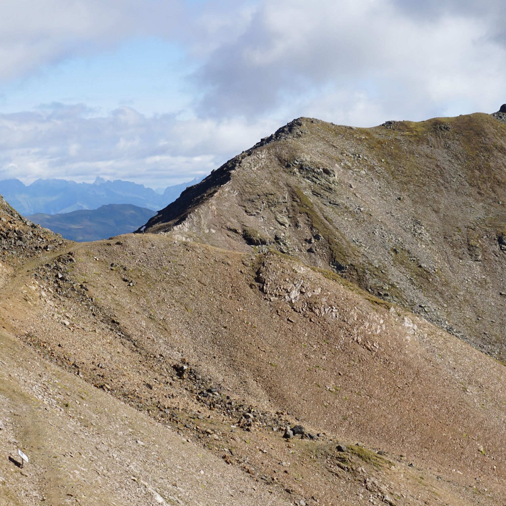
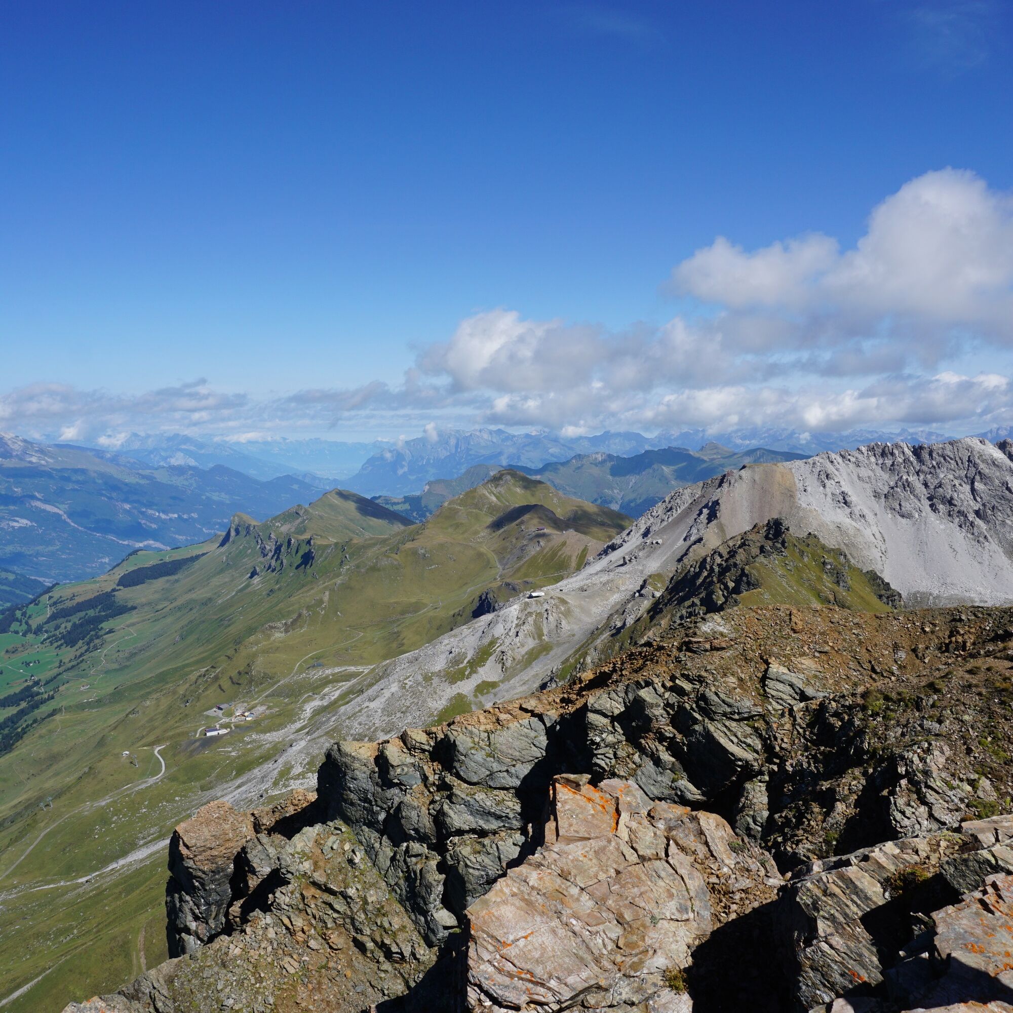
The start and end point of this circular route is the Rothorn summit, which can be comfortably reached by Rothorn cable car or on foot. The path leads from the Rothorn mountain station first to the Rothorn east summit from where you have a magnificent view of the surrounding peaks and valleys.
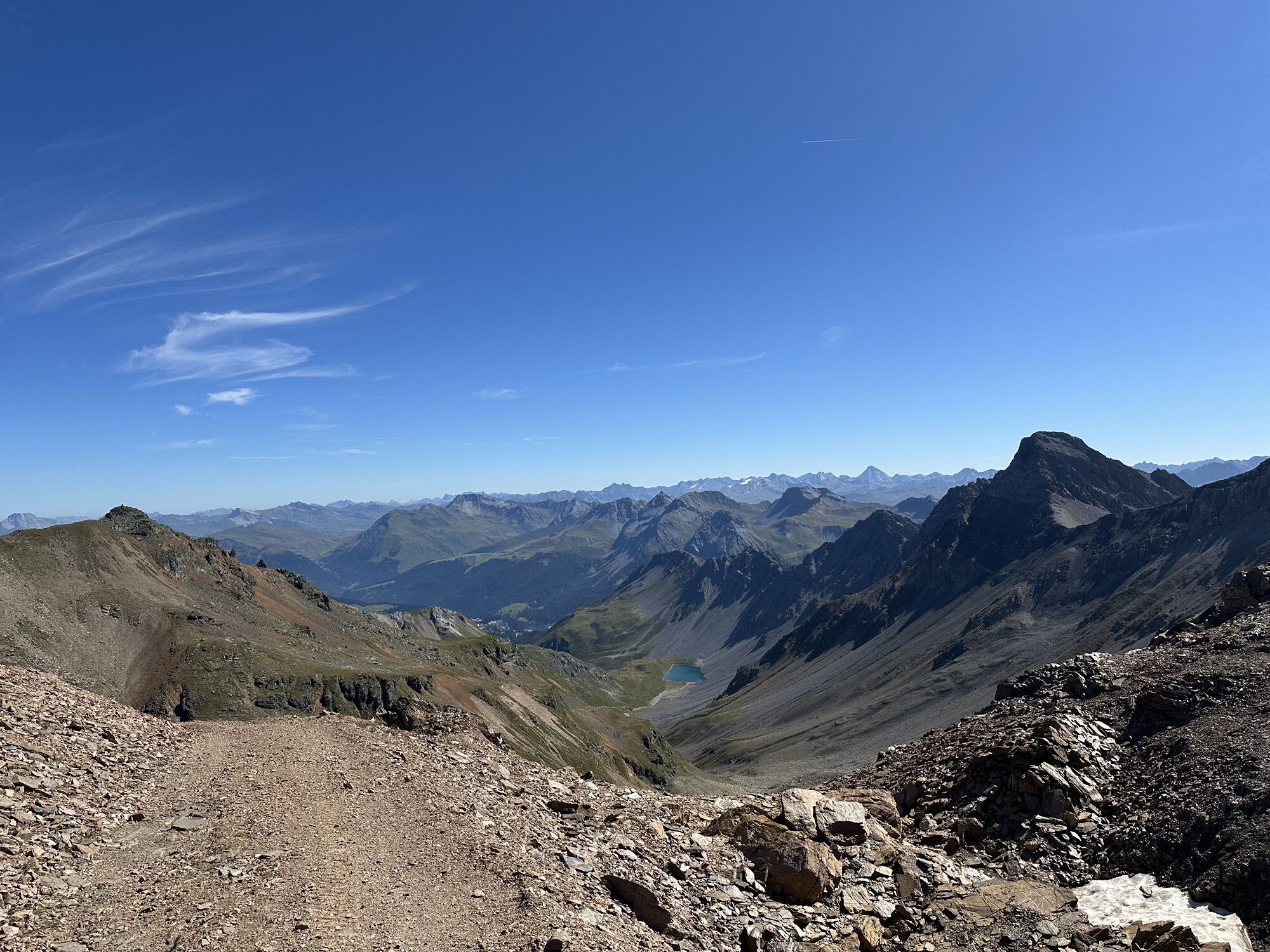
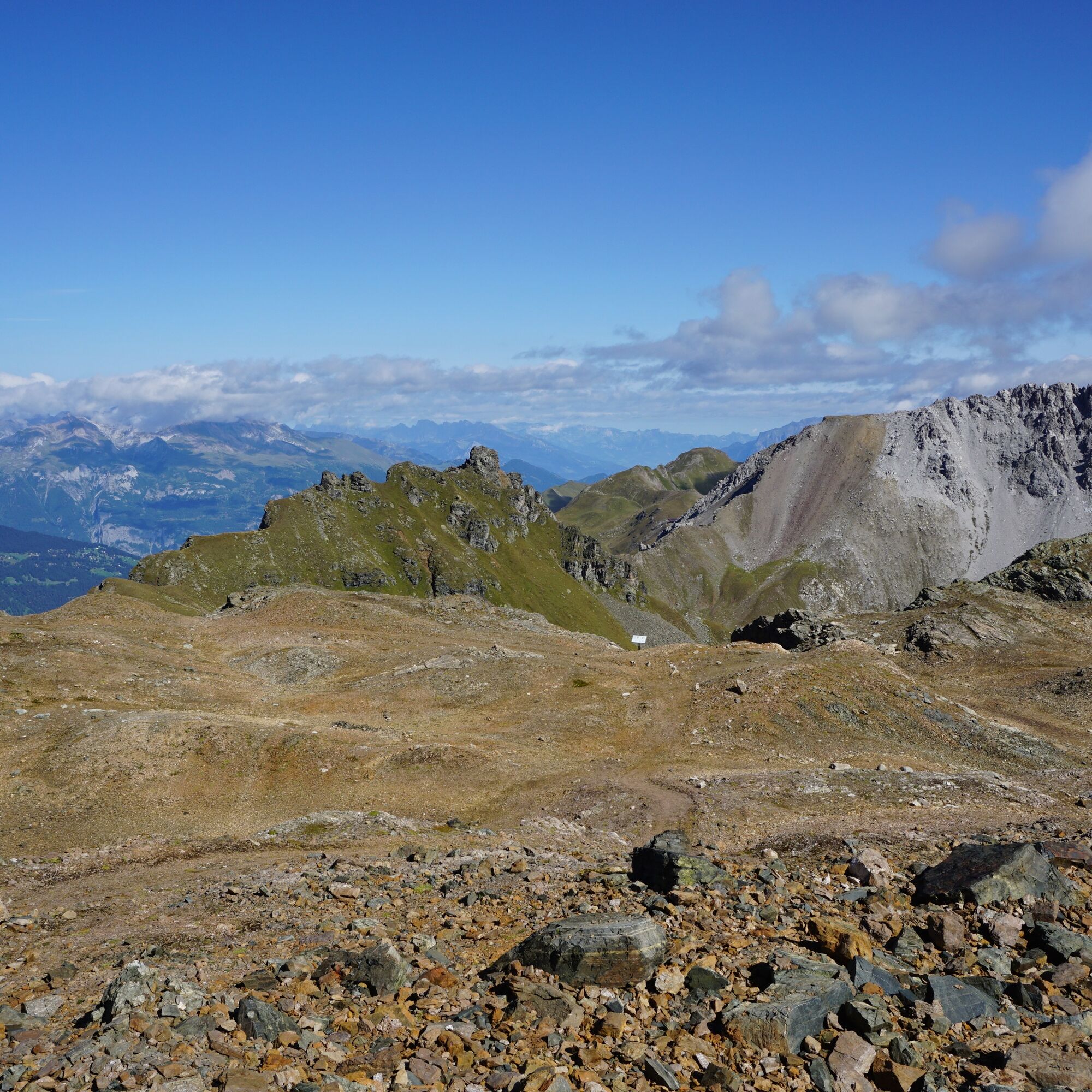
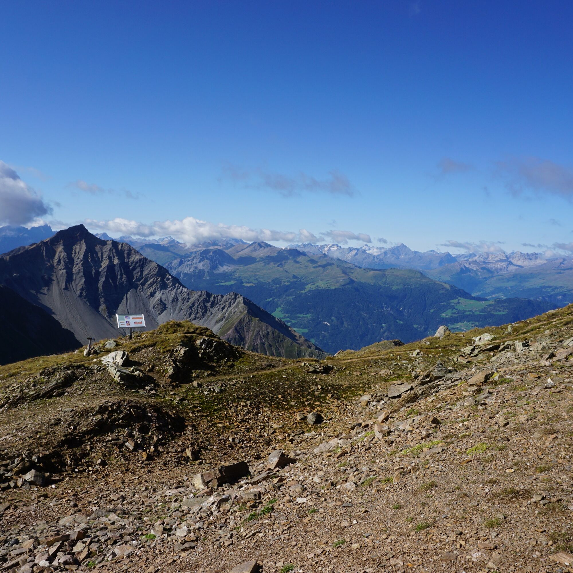
Then the path follows below the ridge towards Älplihorn, before you reach the Totälpli after crossing the ridge. Hard to believe, snow hares and chamois live in this barren, inhospitable landscape at nearly 3000 m above sea level.
After crossing the Totälpli, follow the path back to the Rothorn mountain station.

Ja
sturdy footwear
This circular route is located above 2800 m above sea level.
By car from Chur towards Lenzerheide or from Tiefencastel towards Valbella.
By Postauto (bus) from Chur towards Lenzerheide or from Tiefencastel towards Chur, stop Rothornbahn
paid, parking lot of the Lenzerheide cable cars
Enjoy the panorama during a break at the Rothorn summit restaurant.
Populære ture i området
-
Alp Sanaspans - Rothorn
tungVandring 13.6 km -
5.0
Arosa-Hörnli-Urdenfürrgli-Alp Scharmoin-Lenzerheide
MediumVandring 15.3 km -
5.0
202 High-level path Tgantieni
tungVandring om vinteren 12.3 km -
5.0
Piz Scalottas - Brambrüesch
MediumVandring 16.6 km -
3.0
207 Mittelberg Parpan
MediumVandring om vinteren 7.07 km -
Rundtour Lenzerheide
MediumVandring 14.9 km -
201 Heidsee route
lysVandring om vinteren 5.49 km -
521 Era Vedra
MediumSnesko 2.82 km -
Churwalden - Windegga - Fuulberg - Stätzerhorn
MediumTrailrunning 13.2 km -
Alp Sanaspans - Lenzerhorn
tungVandring 6.28 km
Vandring og sporing


Gå ikke glip af tilbud og inspiration til din næste ferie
Din e-mailadresse er blevet tilføjet til mailinglisten.