


Sværhedsgrad: S1


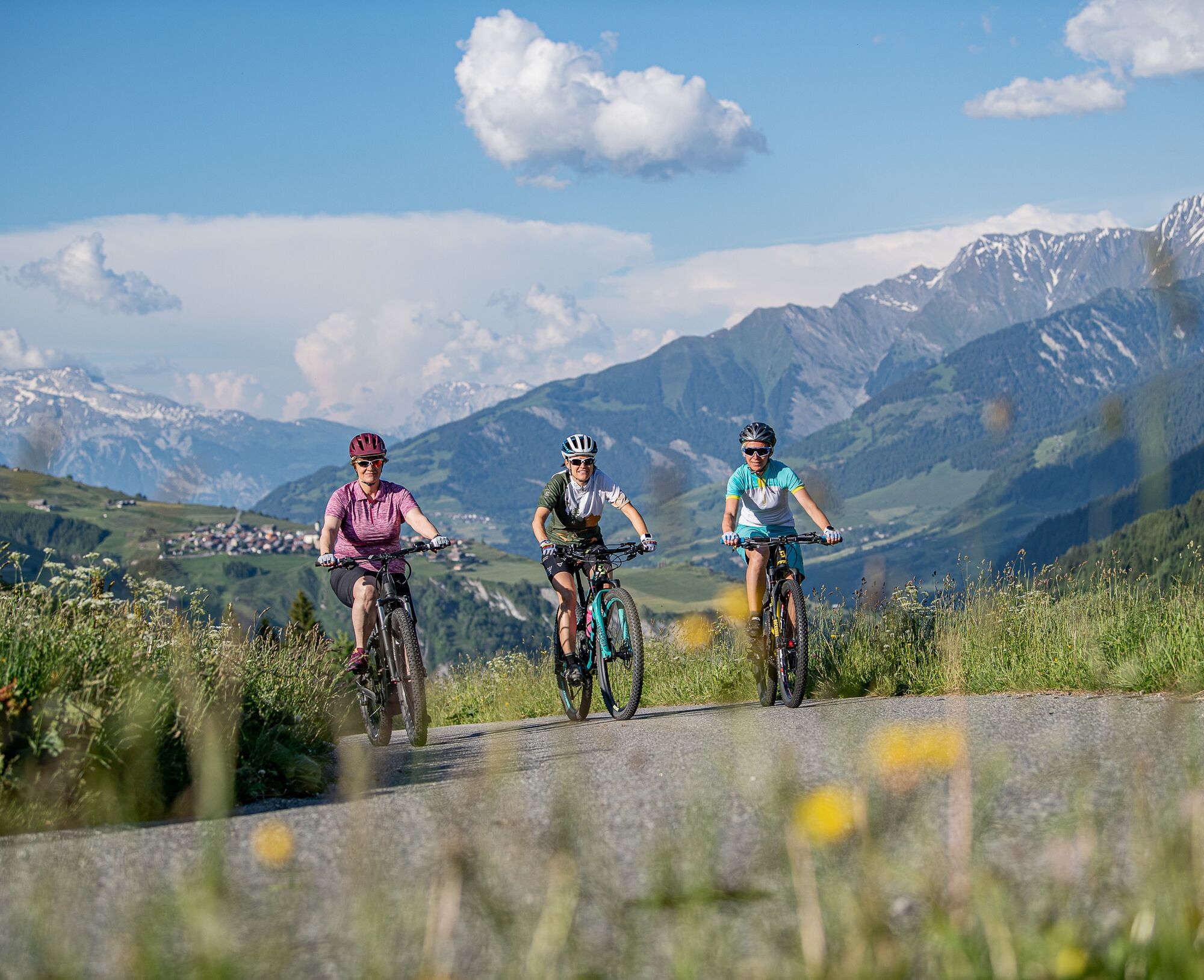
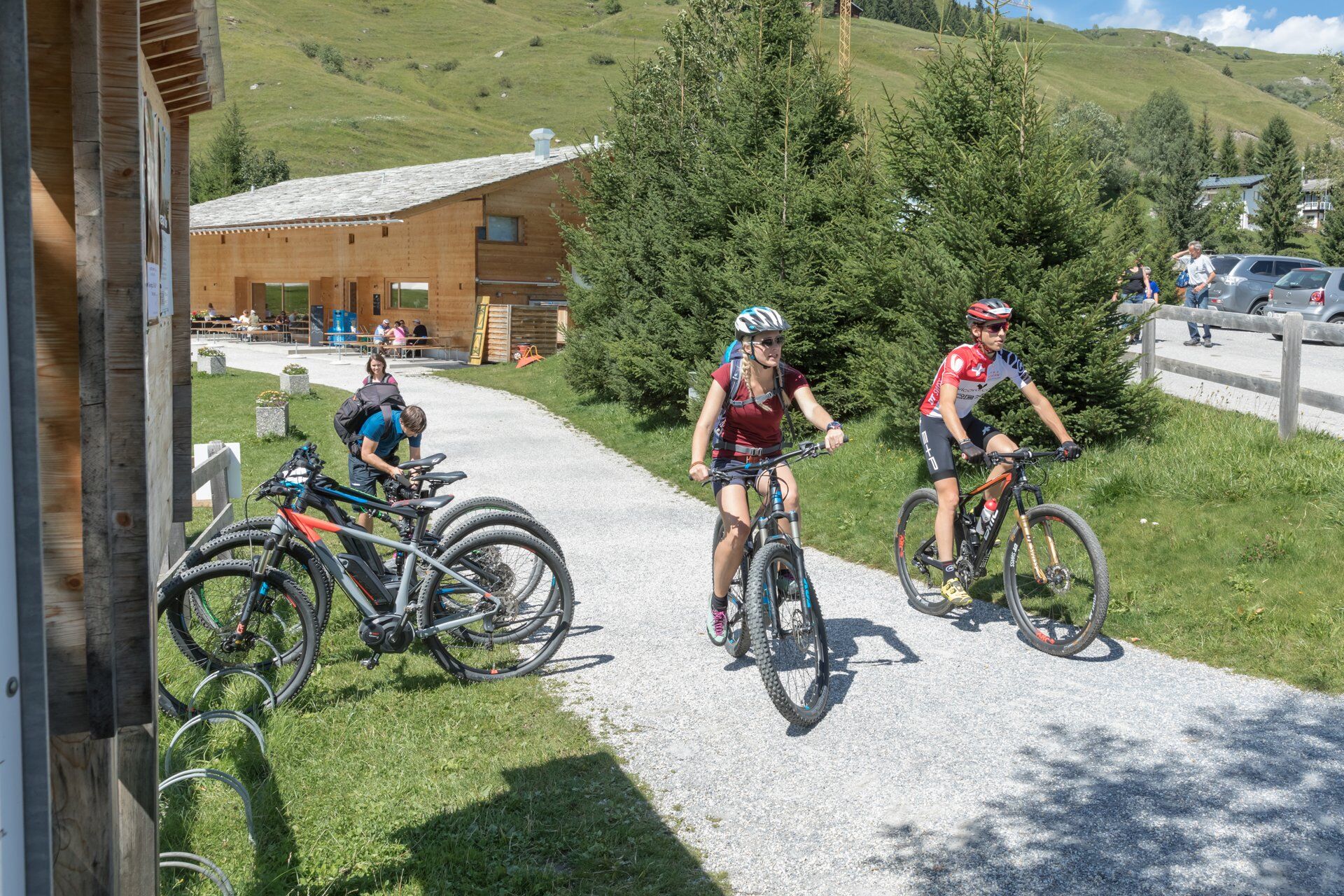
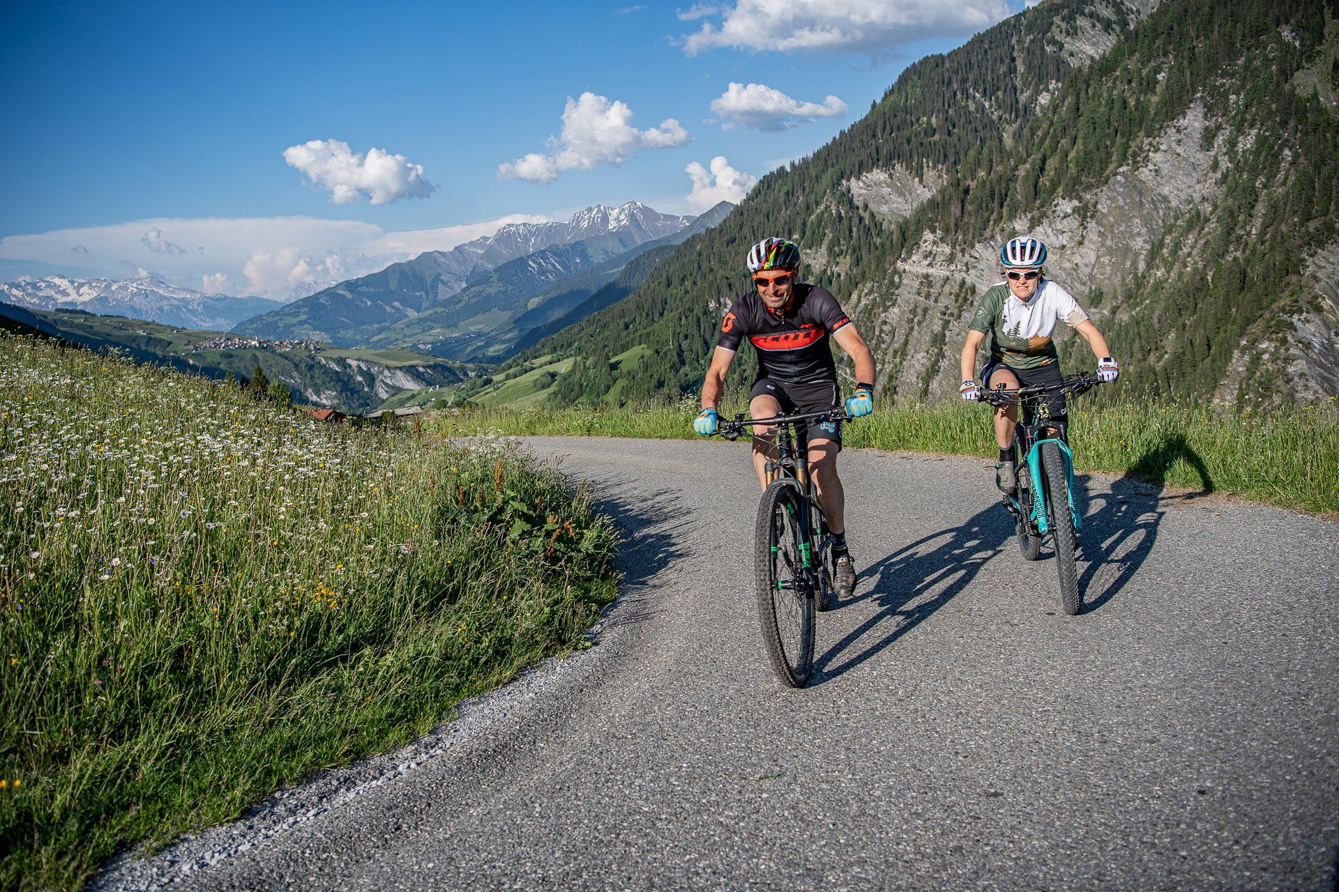
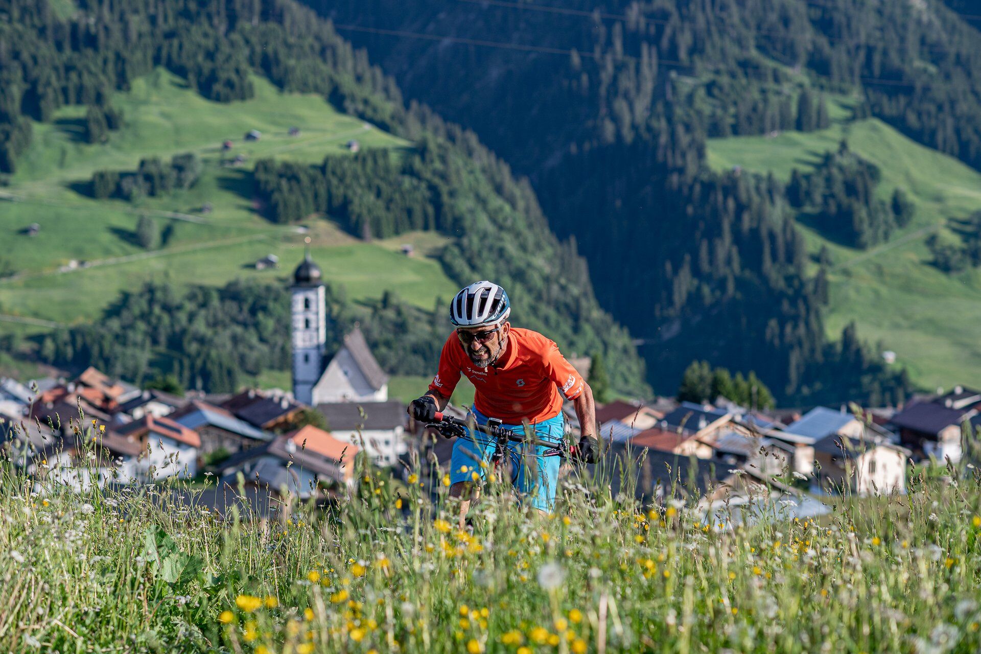
The technically simple bike route to Vanescha can be started at various places in Val Lumnezia. Our route starts in Vella and first leads us along the promenade past the Davos Munts bathing lake and further...
The technically simple bike route to Vanescha can be started at various places in Val Lumnezia. Our route starts in Vella and first leads us along the promenade past the Davos Munts bathing lake and further to Davos Munts Dadens. It then continues through Val Tiarm up above Vignogn where you follow the hiking trail signposts towards Lumbrein. At Uaul da Curschaias we take the forest road straight ahead and from there follow the trail markers of the Senda Lumneziana to Vrin. Shortly after Vrin, the road turns left at the sawmill. After a short descent, there is then a long climb up to the picturesque alpine pasture village Vanescha. After an extensive picnic, we pack up again and take the same route back to Vella.
Vella post bus stop - Davos Munts - Pastais - Planezzas - Fanaus - Curtinatsch - Mons Sut - Vrin - Plaun Tgiern - Vanescha - Return on the same route
(E)-MTB, helmet, gloves, bike shoes, glasses, rain and sun protection, drink, repair kit, first aid kit.
In case of uncertain weather conditions, the route should not be started. Weather changes in the mountains are frequent. If a rain front or similar sets in during the route, you should turn back in time.
In Vrin, Lumbrein or Davos Munts you can charge your e-mountain bike for free at the charging station. If the battery needs to be charged in Vella, the Vella charging station is located by the playground in the center.
On the A13 to Reichenau, then on main road 19 via Flims to Ilanz and finally to Vella.
From the canton capital of Chur, take the Rhaetian Railway in just 36 minutes through the spectacular Rhine Gorge to Ilanz station. Then take the postal bus line 90.441 Ilanz - Vrin to the stop Vella, Posta.
There are parking facilities at the valley station of the cable cars in Vella.
S1
Surselva Tourism AG
Info Lumnezia
Palius 32D
CH-7144 Vella
Tel.: 0041 81 931 18 58
Email: vallumnezia@surselva.info
Internet: www.surselva.info
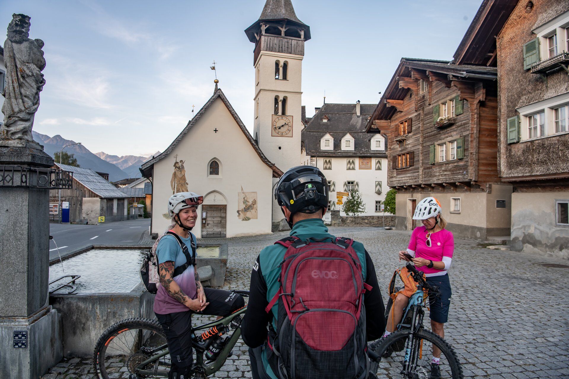
On the way, you can stock up on cheese at the Cascharia (cheese dairy) in Lumbrein and on dried meat at the Mazlaria (butcher) in Vrin for the picnic.
Populære ture i området
-
5.0
High valley Val Frisal
MediumVandring 11.3 km -
5.0
Hiking route Suspension Bridge Val da Tersnaus
MediumVandring 3.24 km -
3.3
3-lake hike
MediumVandring 12.8 km -
5.0
2-Tages-Wanderung Greina Hochebene
MediumVandring 14.9 km -
Panoramic hike between Piz Mundaun and Péz Sezner
MediumVandring 6.75 km -
Piz Terri, 3.149 m
MediumHøj tur 6.92 km -
5.0
Breil/Brigels - Val Frisal Rundwanderung
MediumVandring 20.8 km -
4.5
Die Puntegliashütte am Fusse des Tödimassivs
tungVandring 13.5 km -
5.0
Kronenwanderung: Vrin - Terrihütte (Etappe 8)
MediumVandring 10.8 km -
Furggelti 2712m
tungVandring 18.7 km
Vandring og sporing


Gå ikke glip af tilbud og inspiration til din næste ferie
Din e-mailadresse er blevet tilføjet til mailinglisten.