


Sværhedsgrad: S2


Billeder af vores brugere
-
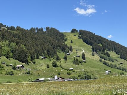
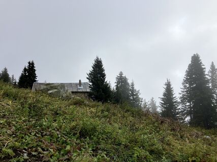
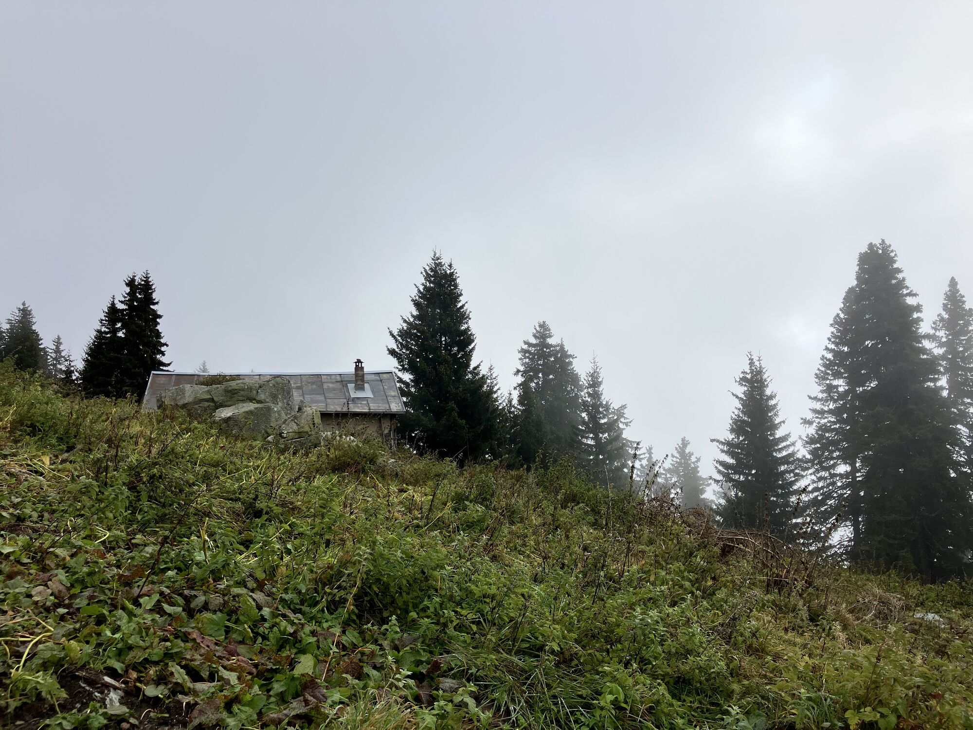
 © Marco AllemannOprettet den 31.05.2025
 -
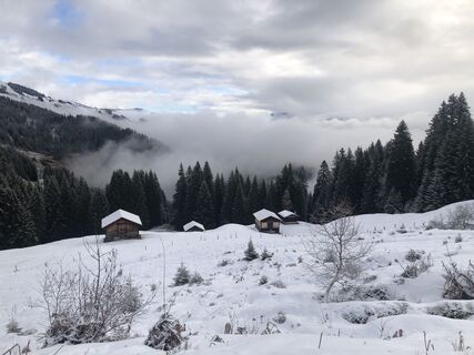
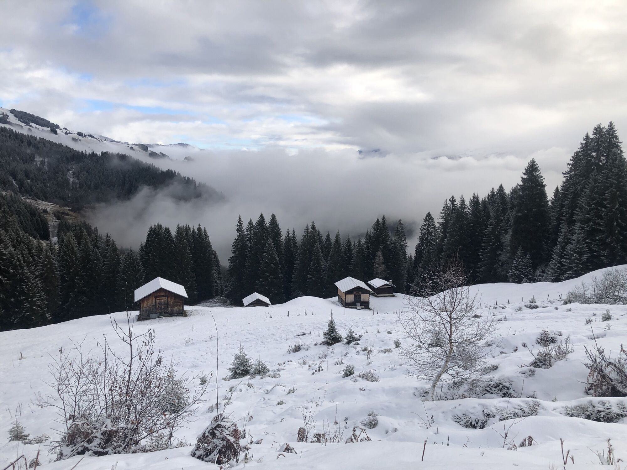
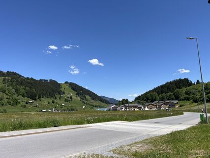 © Marco AllemannOprettet den 31.05.2025
 -
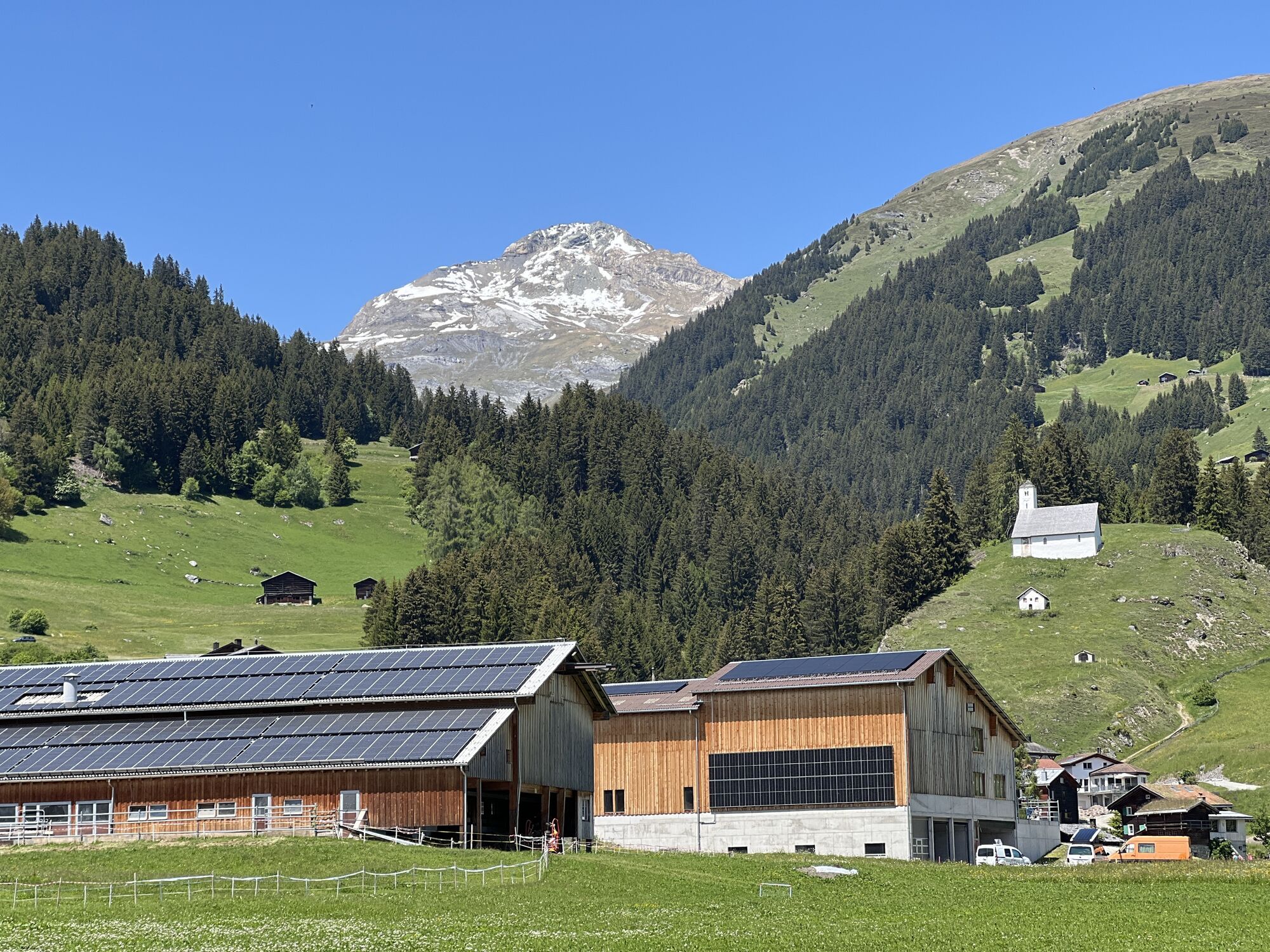
 © Marco AllemannOprettet den 31.05.2025
 -
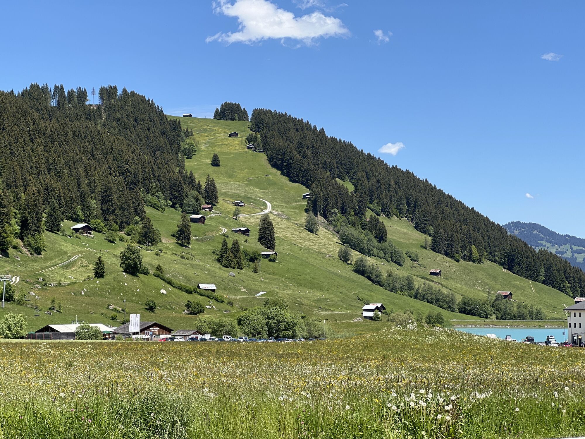
 © Marco AllemannOprettet den 31.05.2025
 -
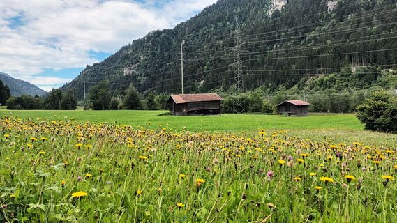
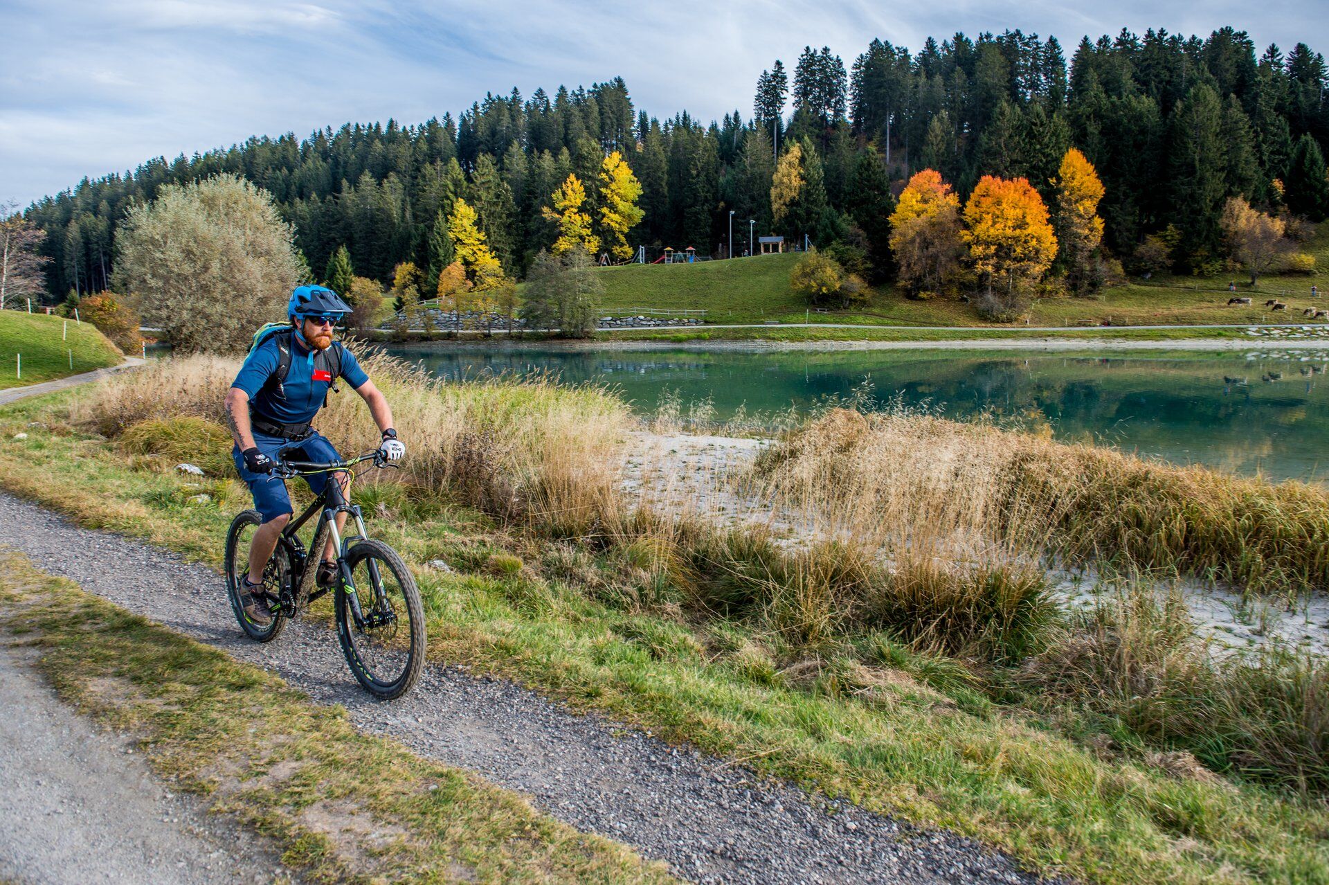
 © Antonella TorelliOprettet den 05.08.2025
 -
 © Antonella TorelliOprettet den 05.08.2025
 -
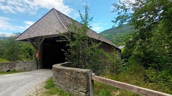
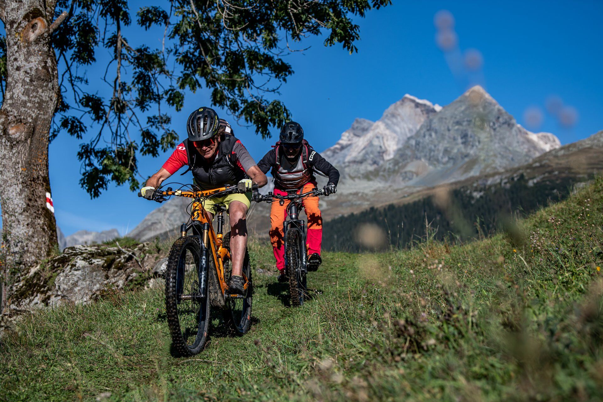
 © Martin WürschOprettet den 29.09.2024
 -
 © Martin WürschOprettet den 27.12.2022


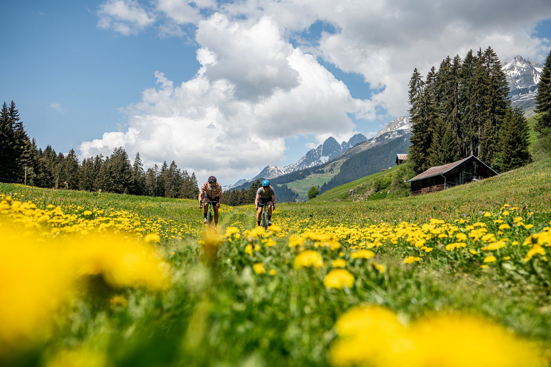
If you start the route from Brigels—alternatively also from Tavanasa or Rueun—you first have to conquer 500 meters of altitude. Mostly on single trails. Shortly before Tavanasa, we take you over a short...
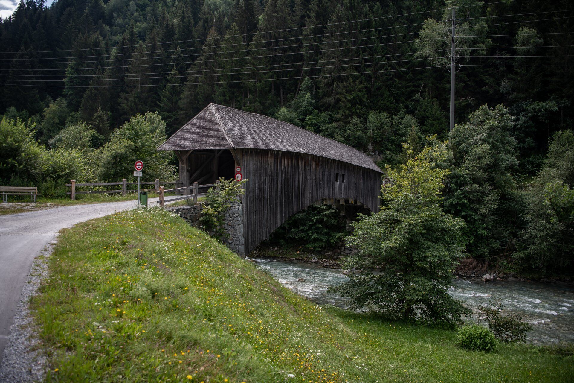
If you start the route from Brigels—alternatively also from Tavanasa or Rueun—you first have to conquer 500 meters of altitude. Mostly on single trails. Shortly before Tavanasa, we take you over a short trail usually only ridden by locals. Then the route continues along the Polenweg, gently downhill on a comfortable gravel road. At Rueun, you cross the covered wooden bridge built in 1839 and must, or may, steadily regain the altitude. Above the village, a quiet forest road branches off. Ideally, you meet other bikers here, but more likely a deer and higher up grazing cows. Finally, you roll over the beautiful Miglié high plateau to Lag da Breil and back to Brigels.

Brigels - Mulin - Tavanasa - Polenweg - wooden bridge - Rueun - Uaul da Munt - Waltensburg - Miglié - Brigels
MTB, helmet, gloves and possibly knee pads, bike shoes, glasses, rain and sun protection, drinks, repair kit, first aid kit
The route should not be started in uncertain weather conditions. Weather changes in the mountains are frequent. If a rain front or similar approaches during the route, you should turn back in good time.
Take the A13 to Reichenau, then the main road 19 via Flims to Tavanasa and then up to Brigels.
From the canton capital Chur, take the Rhaetian Railway through the spectacular Rhine Gorge to Ilanz and on to Tavanasa. Then take the post bus line 90.461 Tavanasa - Brigels to the Breil/Brigels, casa communala stop.
Parking is available at the valley station parking lots of the Brigels cable cars.
S2
Enjoy the pre-finish of the route on the sunny terrace of the Hotel/Restaurant Ucliva.
This route can often be done early in spring. Snow probably lasts longest in the forest between Rueun and Waltensburg. Icy spots on the shaded Polenweg should be noted.
Webkameraer på turen
Populære ture i området
-
5.0
High valley Val Frisal
MediumVandring 11.3 km -
4.8
Rheinschlucht: From Ilanz to Versam into the heart of the Rheinschlucht
MediumVandring 11.4 km -
4.3
Round trip hike Falera - Curnius - Alp Dadens - Falera
MediumVandring 11.4 km -
5.0
Hiking route Suspension Bridge Val da Tersnaus
MediumVandring 3.24 km -
5.0
Kalktrittli - Nüschentäli - Muttsee - Obersee - Muttenchopf - Mörtel - Limmerensee - Kalktrittli (durch Stollen)
MediumVandring 14.8 km -
Panoramic hike between Piz Mundaun and Péz Sezner
MediumVandring 6.75 km -
Crap Sogn Gion - Fuorcla - Alp Nagens
MediumVandring 9.44 km -
4.7
Dutjer Alp - Magnificent View
MediumVandring 8.23 km -
5.0
Breil/Brigels - Val Frisal Rundwanderung
MediumVandring 20.8 km -
4.5
Die Puntegliashütte am Fusse des Tödimassivs
tungVandring 13.5 km
Vandring og sporing


Gå ikke glip af tilbud og inspiration til din næste ferie
Din e-mailadresse er blevet tilføjet til mailinglisten.