


Billeder af vores brugere
-

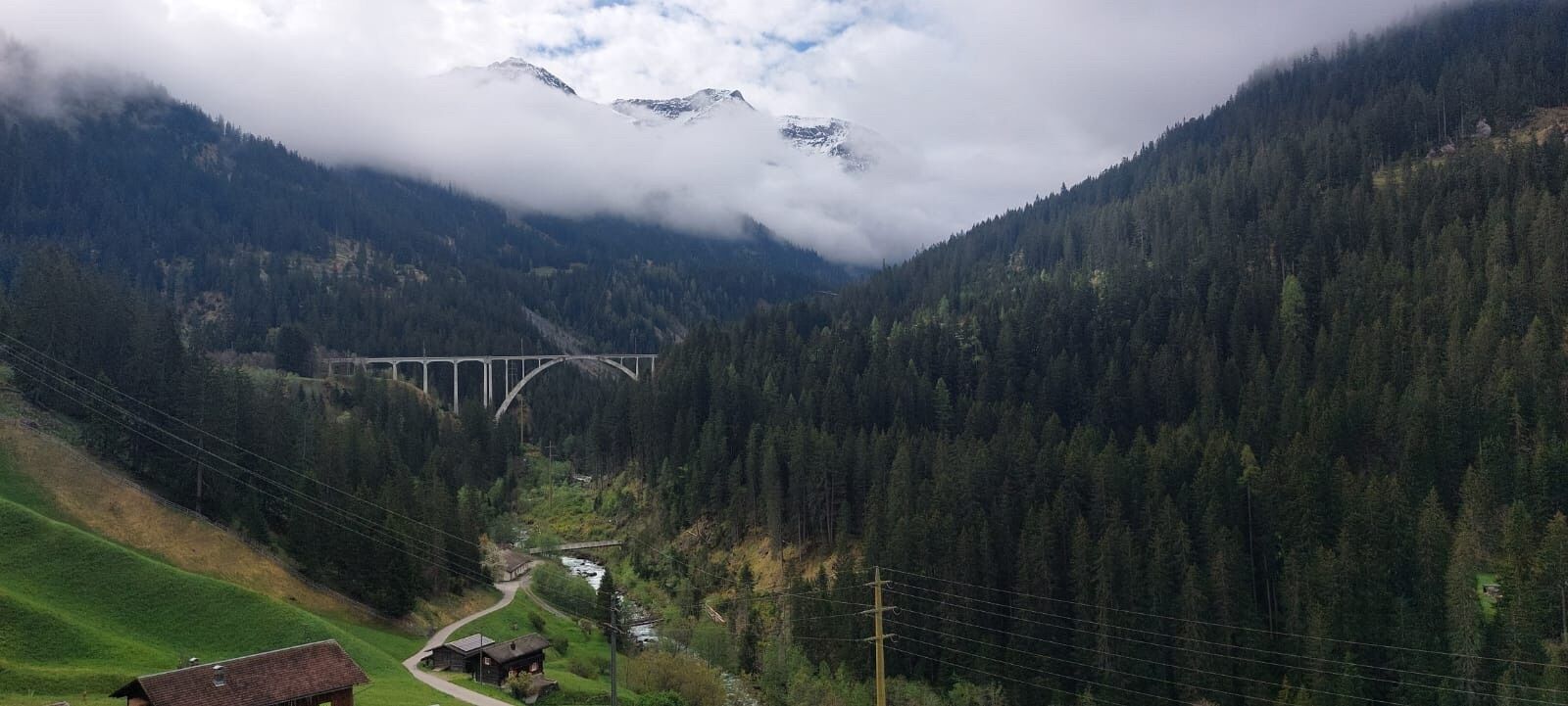
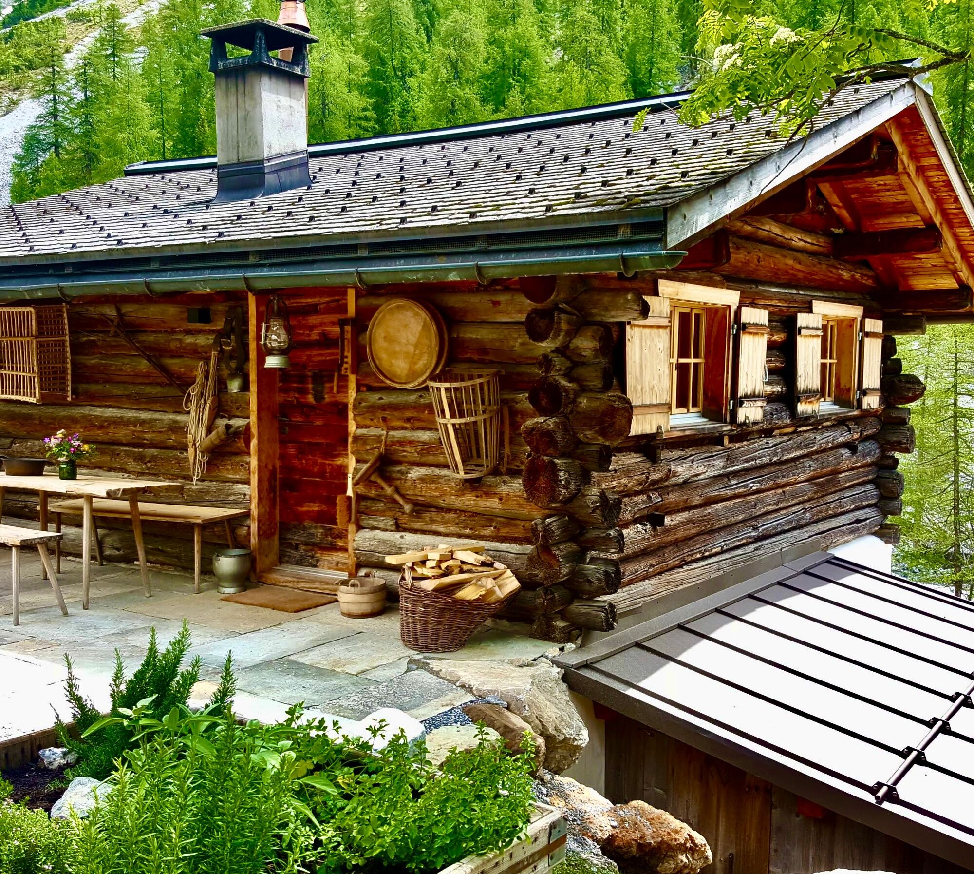
 © Marco AllemannOprettet den 06.08.2024
 -
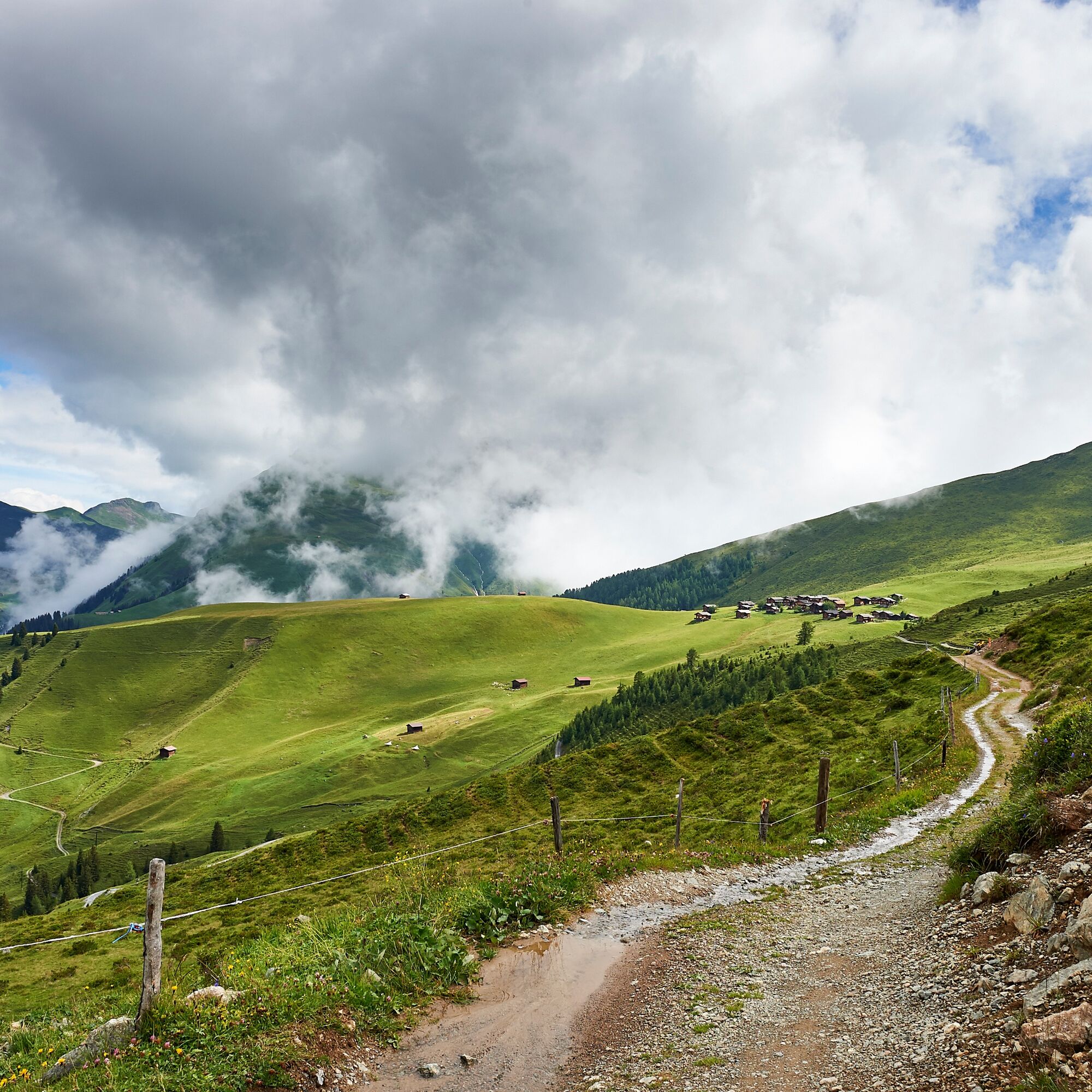
 © Marco AllemannOprettet den 06.08.2024
 -
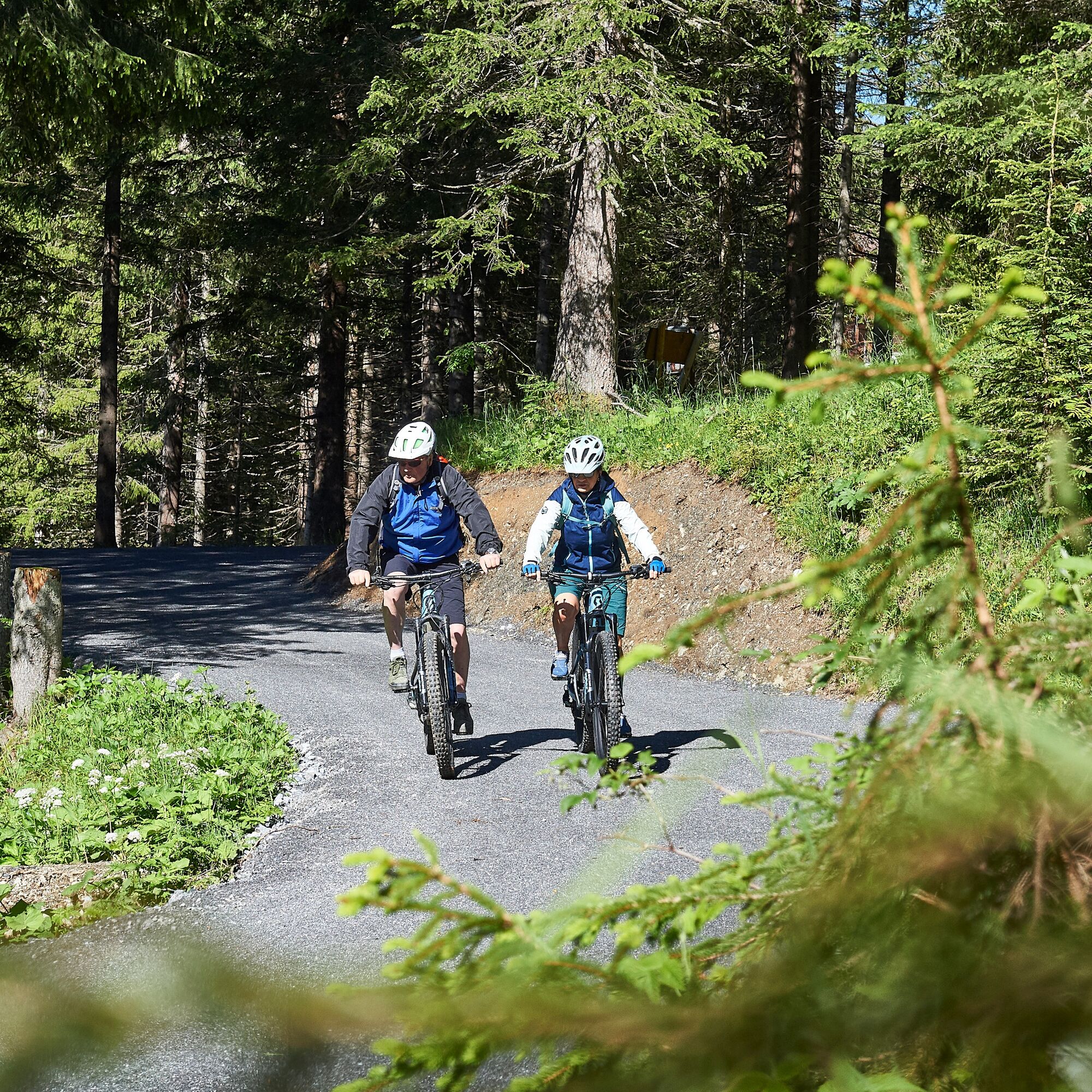
 © Marco AllemannOprettet den 06.08.2024
 -
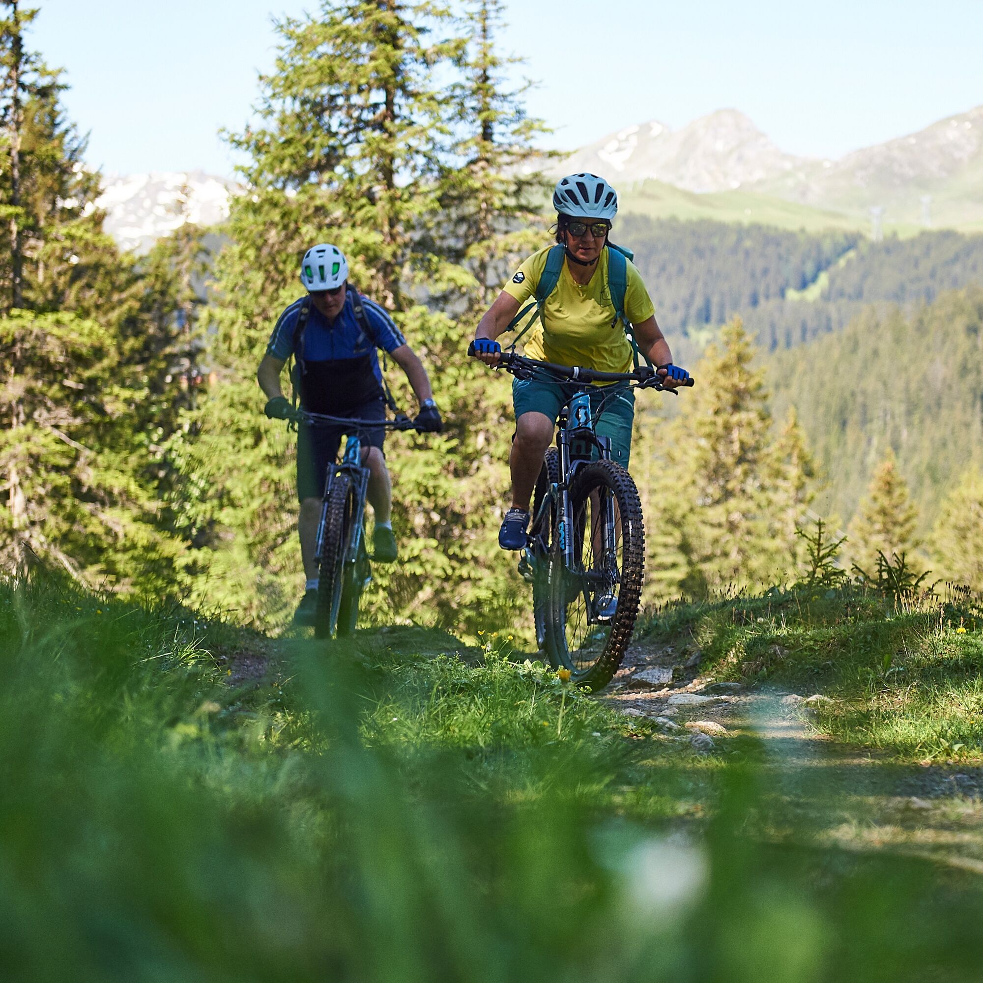
 © Marco AllemannOprettet den 06.08.2024
 -
 © Marco AllemannOprettet den 06.08.2024
 -
 © Marco AllemannOprettet den 06.08.2024
 -
 © Marco AllemannOprettet den 06.08.2024
 -

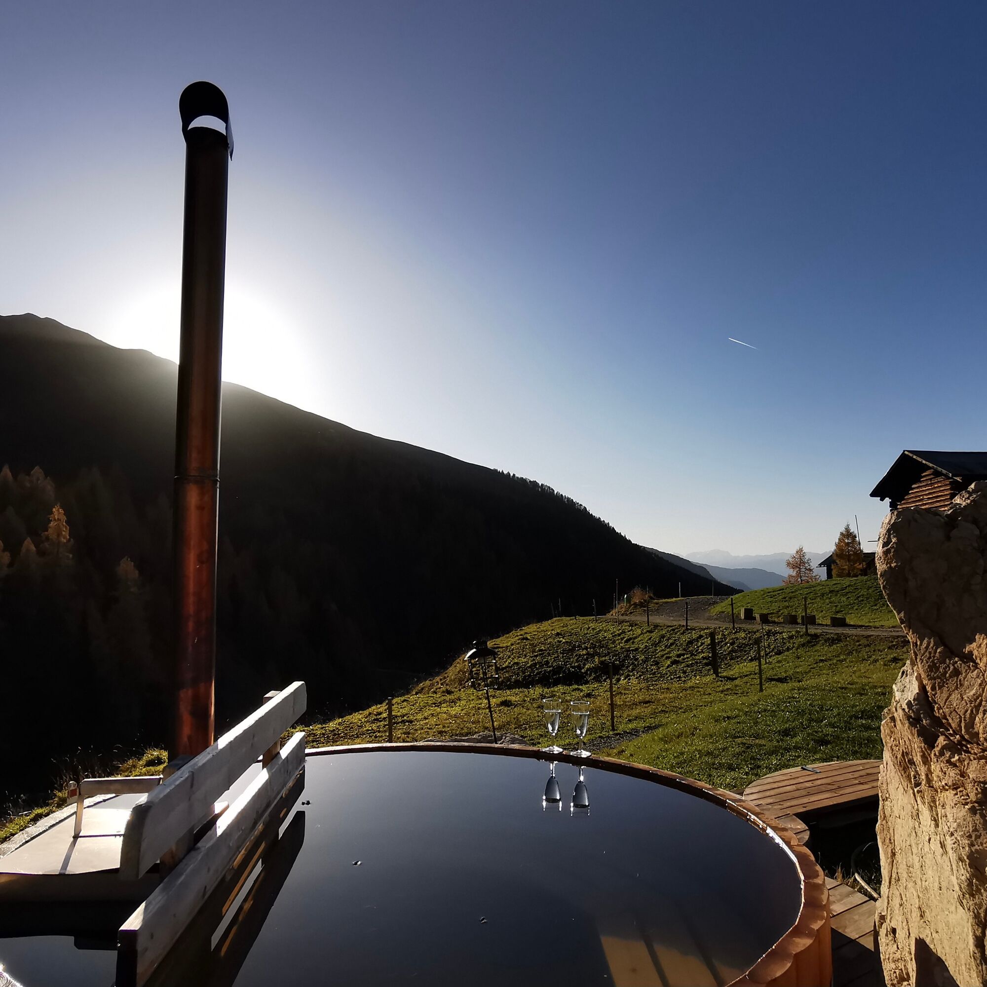
 © Pascal Ch.Oprettet den 10.08.2025
 -
 © Richard BronoldOprettet den 07.05.2025
 -
 © Richard BronoldOprettet den 07.05.2025

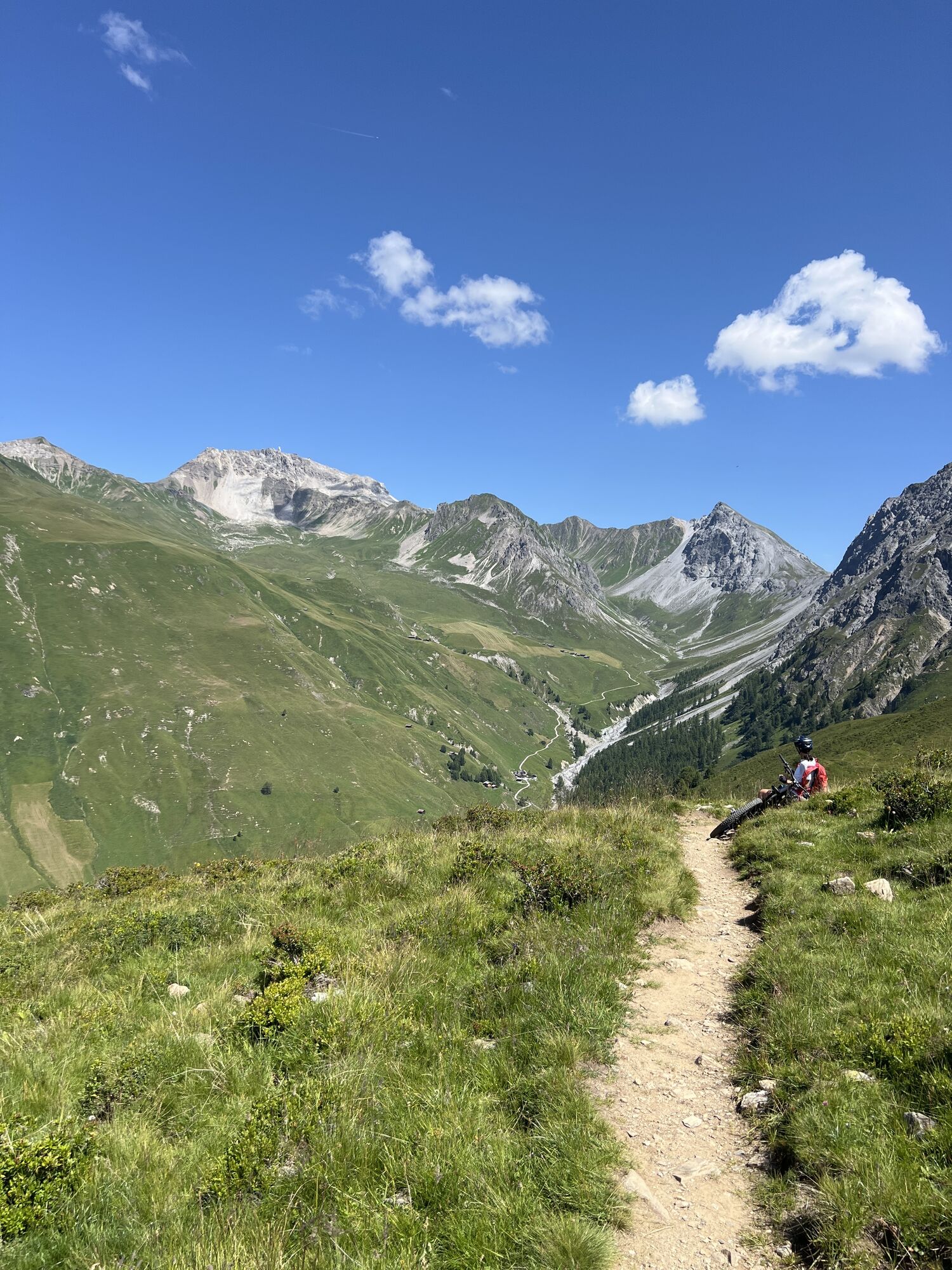
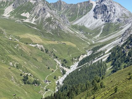
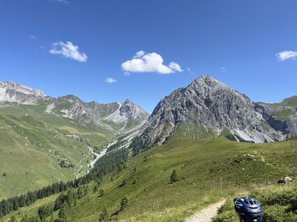
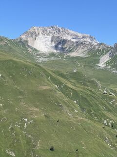
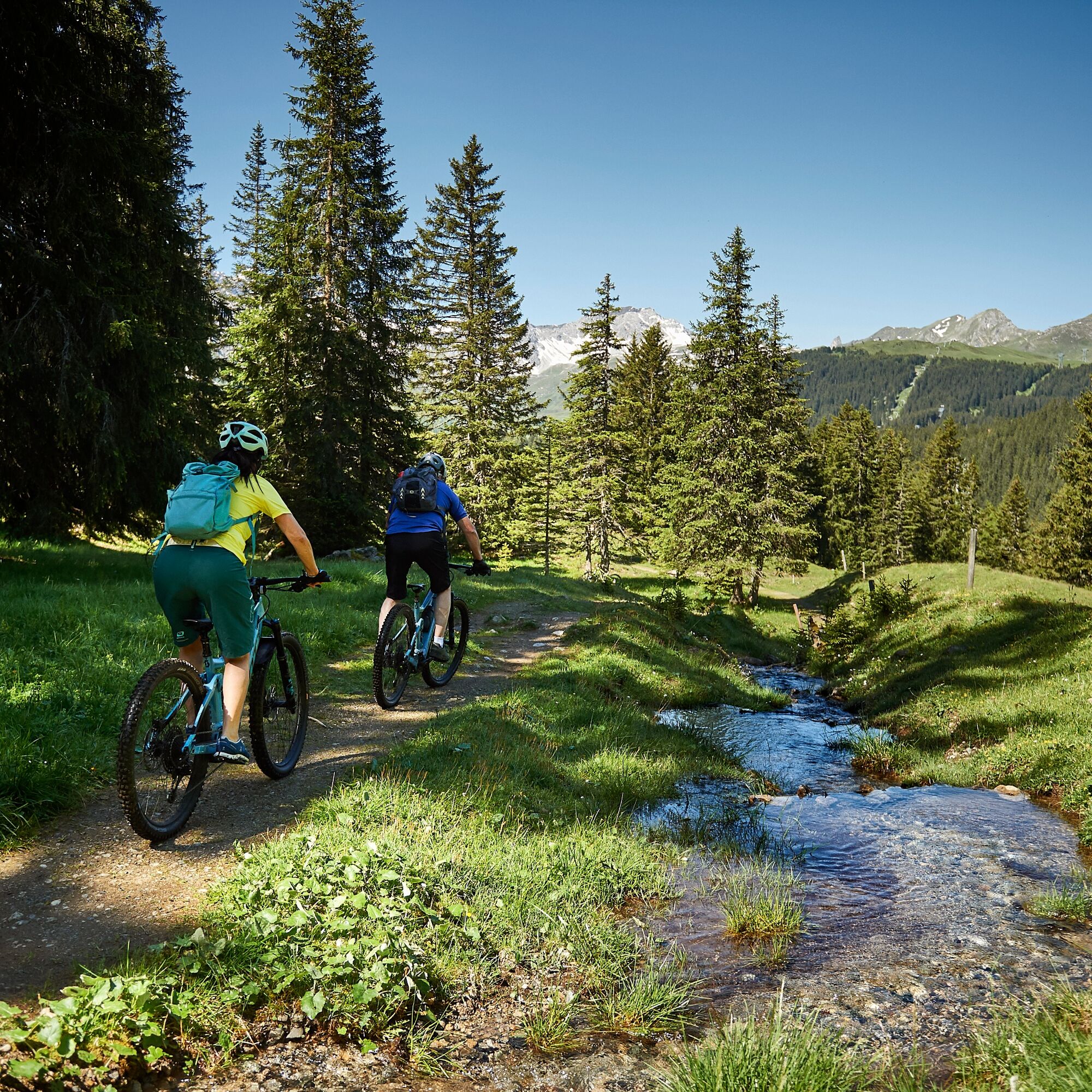
The circular route offers not only scenic highlights but also cultural aspects, passing by intact Walser settlements and allowing you to reflect on life in earlier times. From Arosa, it goes via the reservoir...
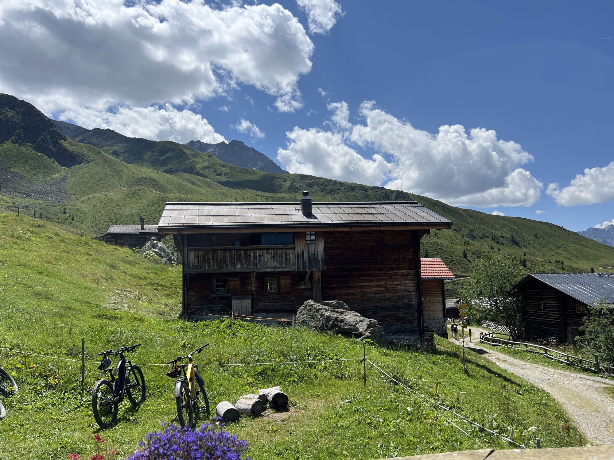
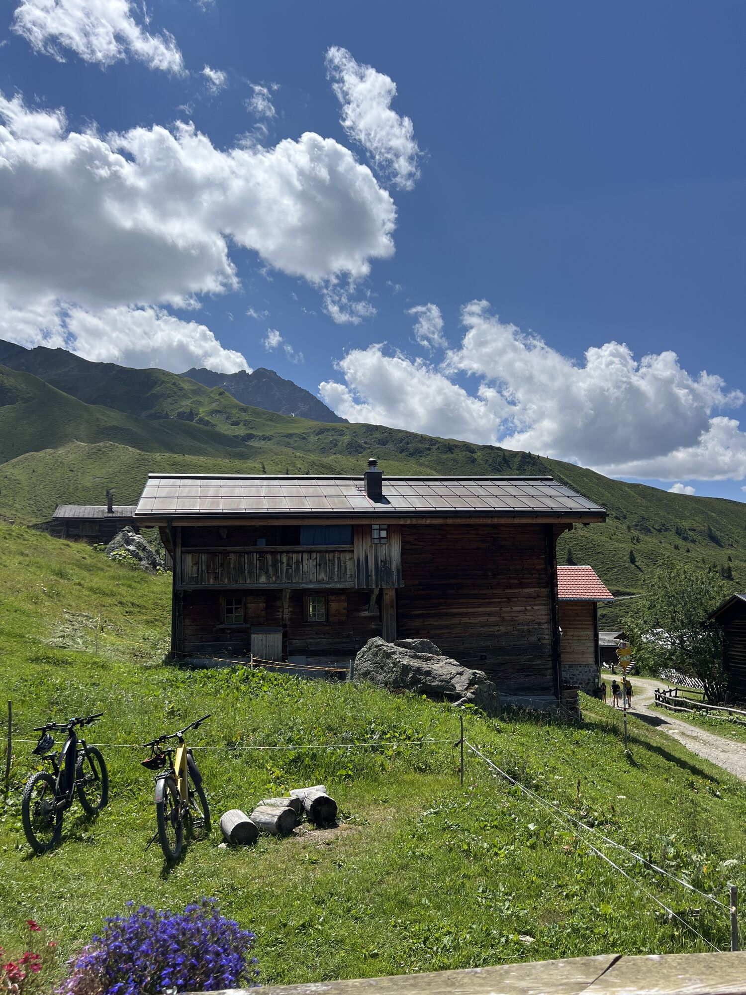
The circular route offers not only scenic highlights but also cultural aspects, passing by intact Walser settlements and allowing you to reflect on life in earlier times. From Arosa, it goes via the reservoir to Litzirüti. From there, it is advisable to take the first altitude meters easy, as the path to Medergen is long and steep. But already from afar, the sun-browned houses greet you, and no disruptive building spoils the idyllic image of this Walser settlement. The ideal place for a short break in the cozy inn "Alpenrose".
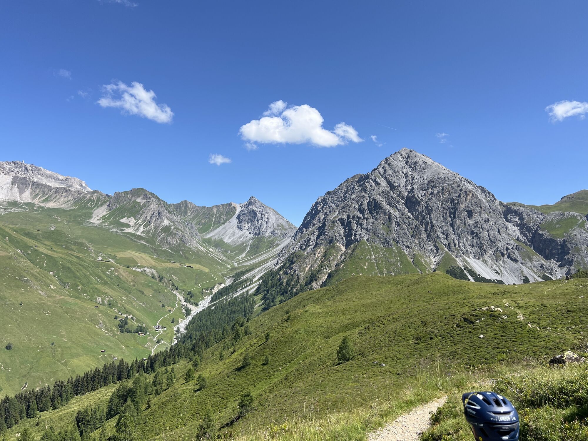
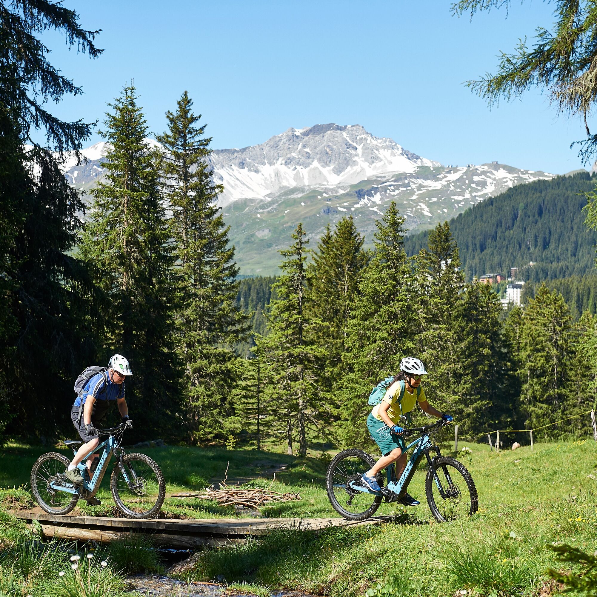
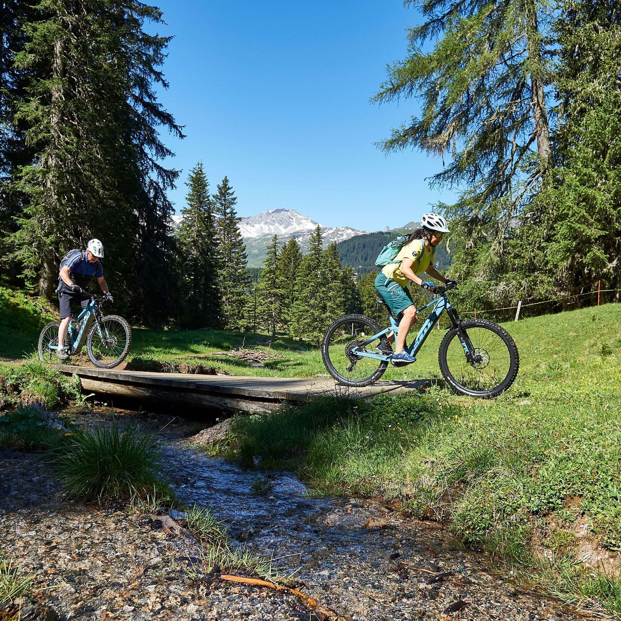
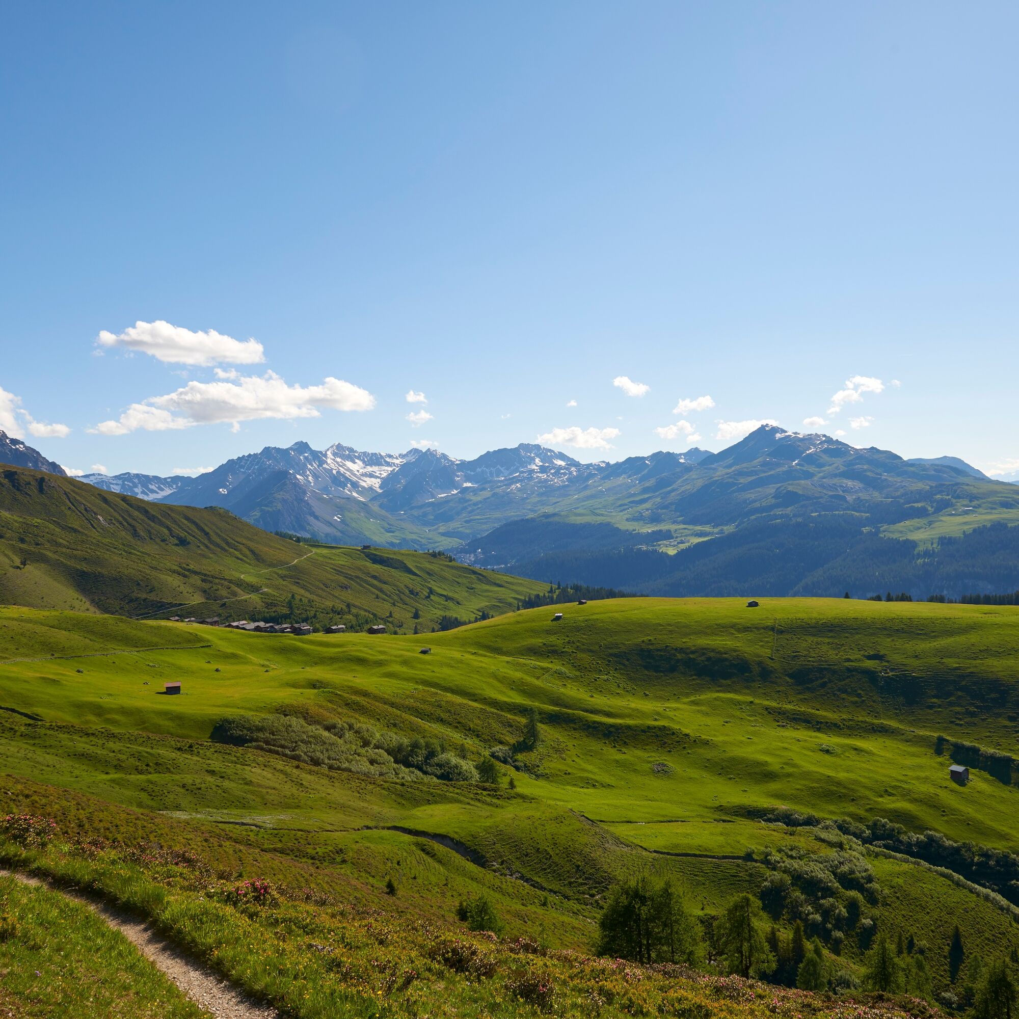
Freshly strengthened, it is easier to ride to Seebjiboden and you can enjoy spectacular views into the Sapüner valley and on the massive Chüpfeflue. On the demanding singletrail to Heimeli, very good biking technique is required. The trail leads over narrow, sometimes steep sections that make the heart of passionate bikers beat faster. Upon arrival in Chüfen, a longer descent to Langwies awaits. On forest roads, you can comfortably cruise 500 meters down and enjoy the view into the Schanfigg valley.
After crossing the Plessur, the final climb awaits. In the first kilometers uphill in the quiet forest, you reach Litzirüti, where you join the known route toward reservoir – Arosa.

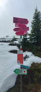
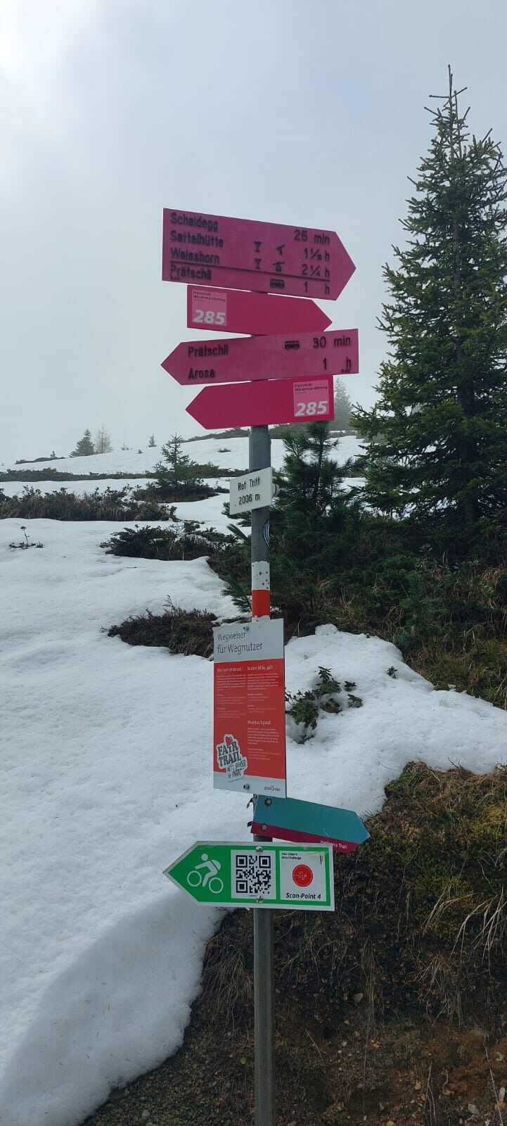
This route is marked in only one direction: Arosa–Medergen–Langwies–Arosa
Ja
Ja
Season
Note: Snowfields may be present on high-altitude sections until the summer months.
Via the A13 onto the B3 to Chur, then on a winding mountain road to Arosa.
By train to Arosa.
Parking available at the Arosa cable car.
Webkameraer på turen
-
Weissfluhjoch
-
Davos / Schweizerische Alpine Mittelschule
-
Arosa - Hörnli
-
Hotel Schatzalp Davos
-
Bergstation Schatzalp-Bahn
-
Schatzalp - Sommerrodelbahn
-
Strela Berg
-
Strela Pass - Davos
-
Strela Pass - Davos
-
Davos Platz
-
Davos / Schweizerische Alpine Mittelschule
-
Davos / Schweizerische Alpine Mittelschule
-
Davos / Schweizerische Alpine Mittelschule
-
Davos / Schweizerische Alpine Mittelschule
-
Davos / Schweizerische Alpine Mittelschule
-
Arosa - Tschuggen
-
Weissfluhjoch
-
Weissfluhjoch
-
Weissfluhjoch
-
Weissfluhjoch
-
Weissfluhjoch
-
Restaurant Schatzalp
-
Arosa - Bärenland
-
Arosa - Weisshorn
-
Arosa - Dorf
-
Arosa - Alp Maran
-
Alp Maran - Golfhaus Arosa
-
Hotel Schatzalp Davos
-
Berghotel Schatzalp Vorplatz
Populære ture i området
-
Alp Sanaspans - Rothorn
tungVandring 13.6 km -
Parsenn
MediumSkiløb 39.7 km -
5.0
Arosa-Hörnli-Urdenfürrgli-Alp Scharmoin-Lenzerheide
MediumVandring 15.3 km -
3.0
207 Mittelberg Parpan
MediumVandring om vinteren 7.07 km -
201 Heidsee route
lysVandring om vinteren 5.49 km -
4.5
Davos Jackobshorn - Jatzihorn - Sertig Dörfli, Schweiz
MediumVandring 8.29 km -
521 Era Vedra
MediumSnesko 2.82 km -
Alp Sanaspans - Lenzerhorn
tungVandring 6.28 km -
Schanfigg high route
tungLangdistance-vandresti 79.9 km -
5.0
4-Viaduct hike
MediumVandring 13.6 km
Vandring og sporing


Gå ikke glip af tilbud og inspiration til din næste ferie
Din e-mailadresse er blevet tilføjet til mailinglisten.