


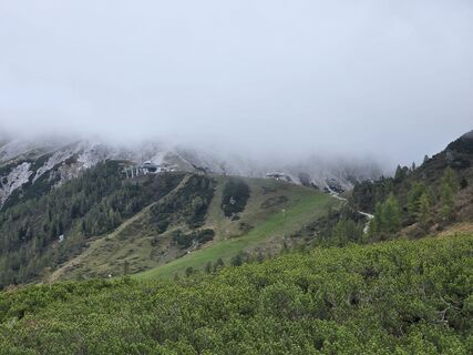
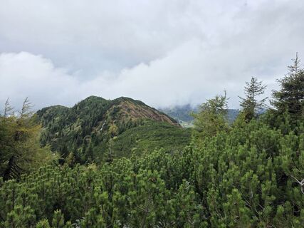
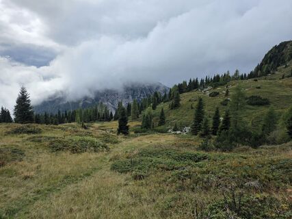
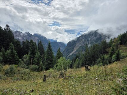
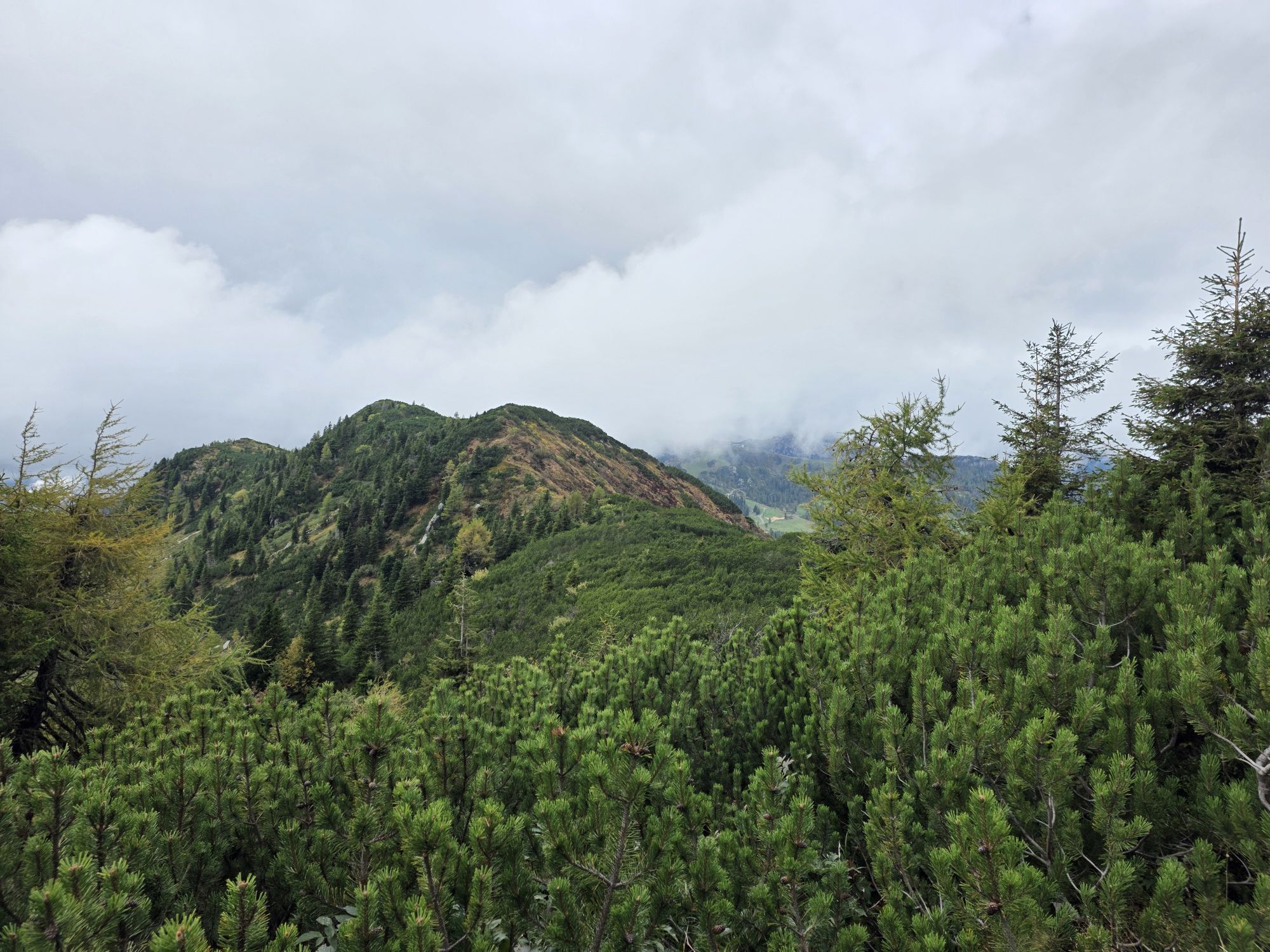
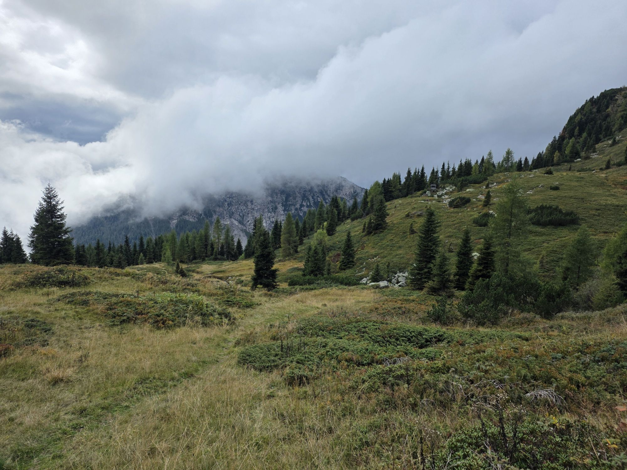
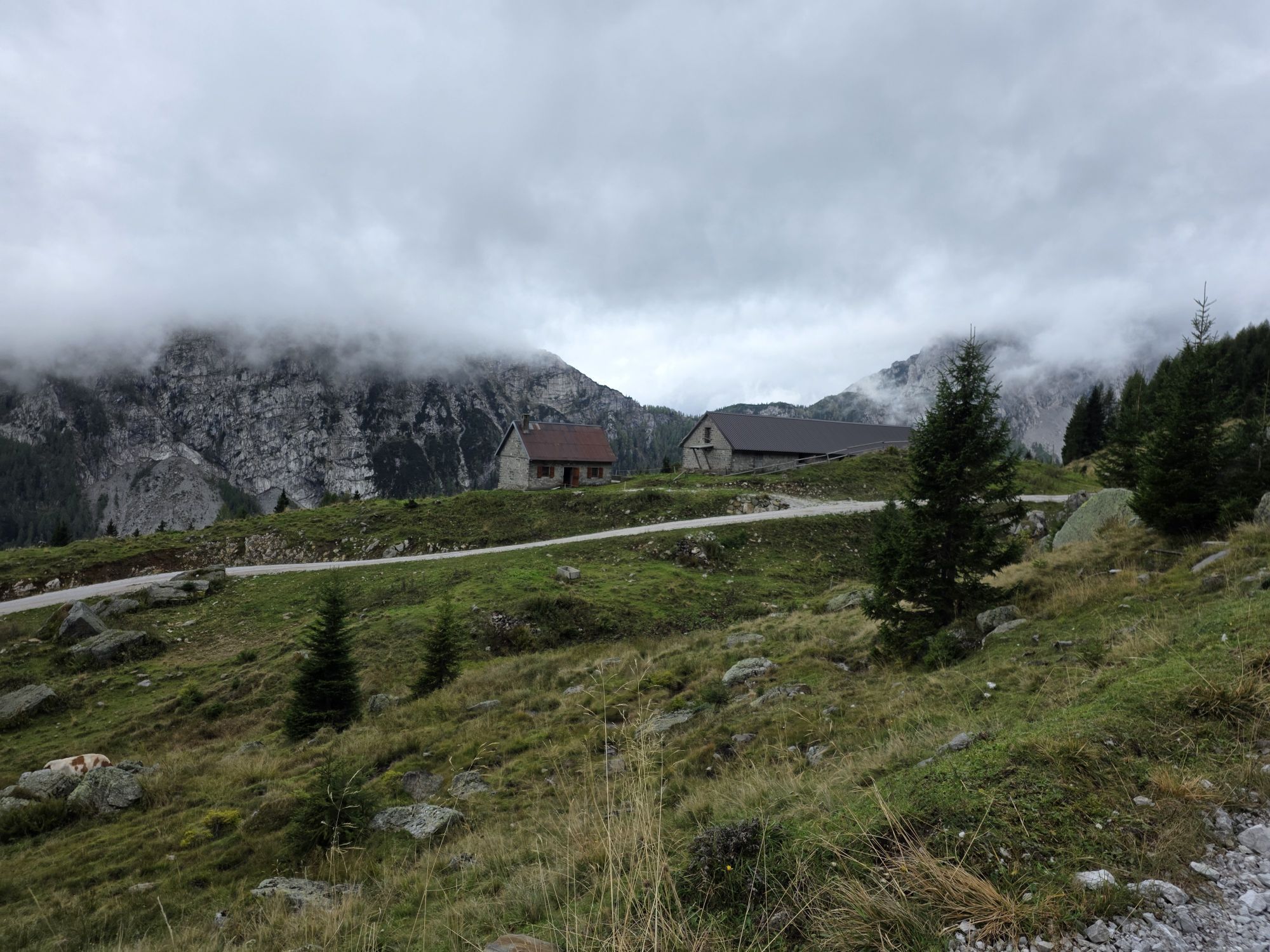
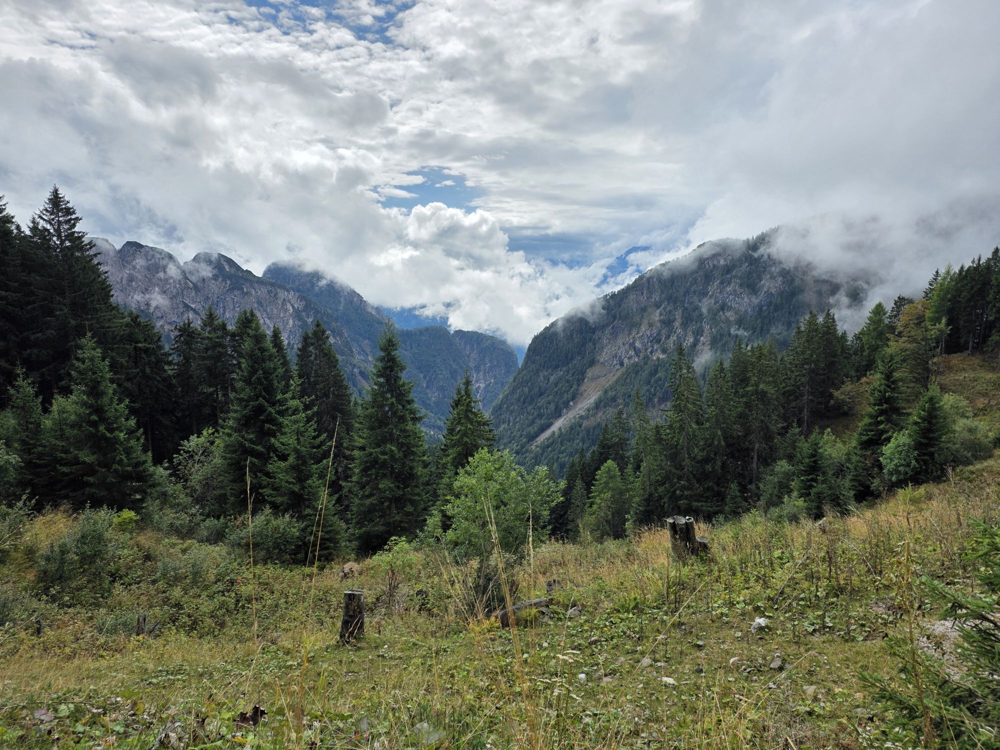
Billeder af vores brugere
-

 © Joachim Schnabel 1Oprettet den 28.10.2025
 -
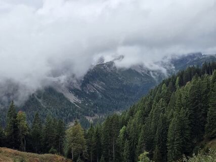
 © Florian DürneggerOprettet den 26.09.2025
 -
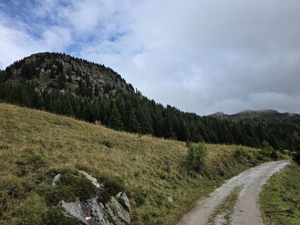
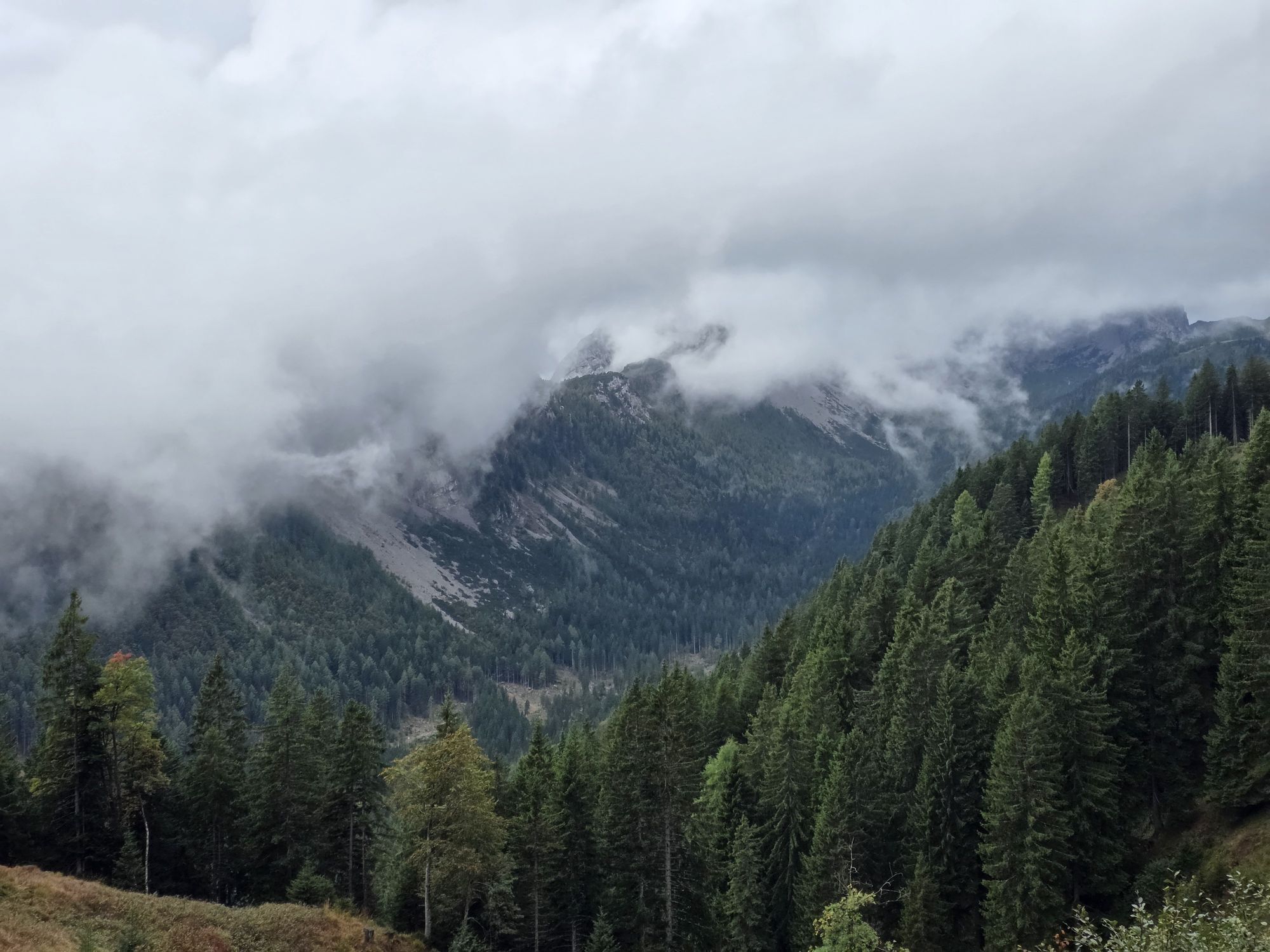
 © Florian DürneggerOprettet den 26.09.2025
 -
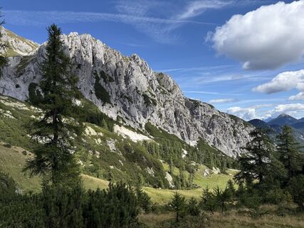
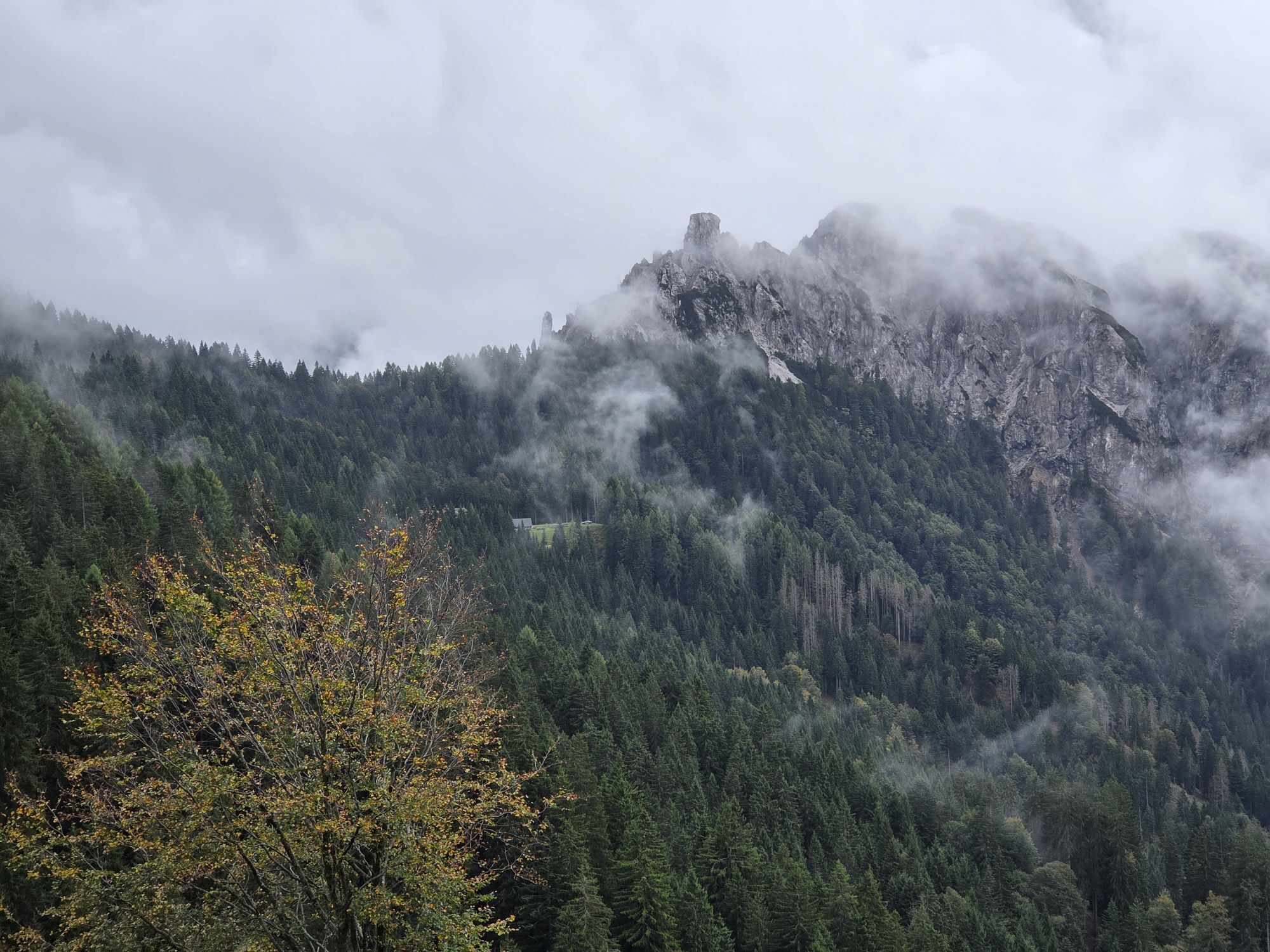
 © Florian DürneggerOprettet den 26.09.2025
 -
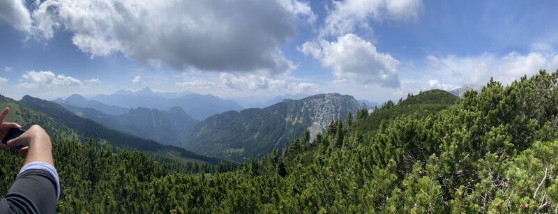
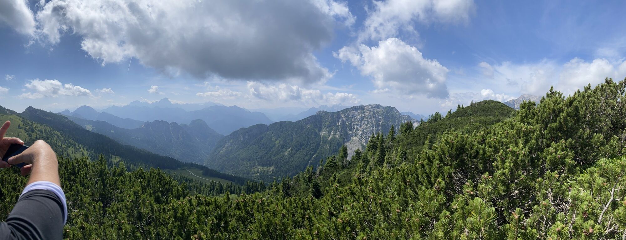
 © Florian DürneggerOprettet den 26.09.2025
 -
 © Florian DürneggerOprettet den 26.09.2025
 -
 © Florian DürneggerOprettet den 26.09.2025
 -
 © Florian DürneggerOprettet den 26.09.2025
 -
 © Florian DürneggerOprettet den 26.09.2025
 -
 © Florian DürneggerOprettet den 26.09.2025
 -
 © Florian DürneggerOprettet den 26.09.2025
 -
 © Florian DürneggerOprettet den 26.09.2025
 -
 © Florian DürneggerOprettet den 26.09.2025
 -
 © Florian DürneggerOprettet den 26.09.2025
 -
 © Michael Heller 3Oprettet den 03.09.2025
 -

 © bigbosziOprettet den 01.07.2022
 -
 © bigbosziOprettet den 01.07.2022


A journey into the forests and shallow seas of the Upper Carboniferous
The Pramollo-Nassfeld Geotrail offers a detailed insight into the world of Nassfeld about 300 million years ago through its sedimentary...
A journey into the forests and shallow seas of the Upper Carboniferous
The Pramollo-Nassfeld Geotrail offers a detailed insight into the world of Nassfeld about 300 million years ago through its sedimentary rocks. This corresponds to the end of the Carboniferous period, the penultimate period of the Paleozoic era. These rocks at Nassfeld on the Italian-Austrian border are internationally renowned for their richness in fossils of both marine and terrestrial life.
The rocks also prove cyclical changes in the ecosystem of that time, as shallow seas repeatedly transformed into coasts and further into river deltas. These changes were caused by repeated ice ages and the resulting sea level fluctuations. The growth of glaciers led to a drop in sea level, while melting caused it to rise again.
The fossil remains of plants (e.g., tree-sized ferns) that once formed extensive forests, footprints of large amphibians, as well as evidence of land-living arthropods (e.g., scorpions), are unique worldwide. From these Carboniferous forests narrow coal seams formed over time, which were once mined.
The cross-border Geotrail includes ten stops where the geological history of Nassfeld can be systematically traced. Its famous rock sequence, the so-called Permocarboniferous of Pontebbano, was deposited after the Variscan mountain building between 310 and 275 million years ago.
Mountain building occurred between 310 and 275 million years ago.


Stop 1 - Gravels of a former river delta
Just before Auernigalm, a very special gray conglomerate can be seen. It consists of consolidated calcareous gravels that formed from the erosion of an elongated ridge. This ridge was uplifted from the sea at an active fault zone. Today it roughly corresponds to the area Valbertad - Creta di Rio Secco - Rosskofel - Malurch - M. Bruca. The gray conglomerate, a river deposit, occurs together with gray sandstones. These form only thin layers of a few dozen centimeters and can be observed on a small rock just east of the smaller hut of Casera Alm. They also represent erosion material from the Devonian limestone rocks that build the previously mentioned ridge.
Stop 2 - Rockfall material from algal limestones
Between Auernigalm and the foot of Auernig, many large boulders lie on both sides of the hiking path. These are rockfall materials from the steep slopes of the Auernig. The exact time of the rockfall is unknown but certainly occurred in the younger Quaternary after the last inland glacier melted (18,000–15,000 years ago).
The boulders consist of two very different rock types: quartz conglomerates and light gray algal limestones. The former are consolidated river deposits of a delta, the latter formed in the sea. In the limestones, fragments of calcareous algae (Dasycladaceae) can be seen. They have a tubular shape and reach a length of several centimeters. Both deposits represent the typical rocks of the Nassfeld sequence from the end of the Carboniferous about 300 million years ago.
Stop 3 - Traces of petroleum in black limestone
Here, where the hiking trail crosses a small stream, a rock slope of dark algal limestones is visible. This contrasts with the numerous light gray limestones of the Nassfeld rock sequence. When breaking the dark limestones, the typical smell of bitumen (tar) is released. The smell and black color indicate an oxygen-free lagoon floor in whose mud algal fragments were deposited. Due to the lack of oxygen, organic particles did not decay but were converted over time under high pressure and temperature into crude oil or bitumen. This bitumen is found today in traces in the rock.
Stop 4 - The oldest terrestrial vertebrate in Italy
On this hiking trail, a rock block with a roughly 300-million-year-old footprint of an amphibian from the Upper Carboniferous was found. It is the oldest footprint of a land-living vertebrate in Italy.
Towards the mountain, the deep incision of a stream shows a sequence of finely layered rocks that alternate in some places with thicker sediment banks. The latter consist of quartz conglomerate and light gray algal limestone. The thin layers consist of sands and muds that solidified over time into sandstone and claystone. They originate from ancient rivers that flowed from northwest to southeast and deposited their load near the river delta into a shallow sea.
Stop 5 - Fossilized wave ripples
At this point, another stream cuts through the late Carboniferous rocks and exposes them. About 15 meters below the hiking trail, a large horizontal surface of a sandstone layer is visible. Its surface shows a symmetrical and parallel wave structure, called ripples. The one to two centimeters large ripples formed on a shallow sea floor through the relocation of sand. The symmetrical shape indicates that not the current but an oscillating wave motion formed the ripples. All this happened about 300 million years ago. It would be worth the effort to descend to the sandstone slab, but caution is advised.
Stop 6 - Old algal banks
In this section along the border area, you pass through the sandstones of the Corona Formation. They are rich in fossil plants and testify to a former delta plain. Some dozens of meters further north along the steep path is the only limestone bank of this formation visible over a length of 320 meters. It is only 60 centimeters thick and dark inside but yellow due to weathering on the surface. The limestone bank consists of tubes of a calcareous alga (Dasycladaceae) only a few millimeters wide. Some of these algae are still preserved as bundles that resemble the fingers of a hand. The algal limestone formed in the sea when it flooded the delta due to partially melting ice caps, causing the then coast to shift many kilometers inland.
Stop 7 - Storm deposits
The rocks at this stop are fine sandstones with wavy or bulging structures. This structure is typical for storm deposits. They form when the sand of the sea floor is stirred up by storm waves during storms. The many overlapping storm deposits at this location suggest a shallow sea, at most ten meters deep, since every storm, whether strong or weak, left its traces in the sand.
At a short distance, there is another several meters high rock wall. Several strongly twisted sandstone layers are clearly visible on it. This deformation was obviously caused by a strong seismic shock while the sediment was not yet consolidated.
Stop 8 - The Gartnerkofel - Signs of a fault
Looking north, the majestic Gartnerkofel (2,195 m) rises in the distance. It is the 240-million-year-old remains of a reef from the Middle Triassic, whose limestone was converted to dolomite rock. The foot of the south face consists of the Nassfeld sequence, which was deposited about 70 million years before the reef rocks in the Carboniferous. The two differently aged rock sequences come into contact at a vertical fault (dislocation). The fault formed many millions of years ago. Along it, the area of the Gartnerkofel subsided by several hundred meters compared to Nassfeld. Recently, strong horizontal movements also acted. Through these movements, a band of fragile dolomite rocks many dozens of meters wide was broken and displaced. This fault is visible from afar by the characteristic light dolomite scree.
Stop 9 - A gigantic "water leak"
This last section between Gartnerkofel and Garnitzenberg consists of the same Carboniferous rocks as the Kronalpe. Unlike the Kronalpe, however, they are clearly tilted southward here because numerous fault zones separate the massive rock bodies of the Kronalpe and Garnitzenberg.
Shortly down the path from the summit of Garnitzenberg towards Kronalpe, just below 1,900 meters above sea level, a wide sediment structure is reached. It testifies to a gigantic water breakthrough about 300 million years ago. The weight of the sediments exerted such pressure on the deeper deposits that the water contained between the sand grains was pressed upwards. During the ascent, it bent and broke through the upper rock layers. These were already somewhat firm but not yet cemented.
Stop 10 - Conglomerate with fusulinids
The steep path leading to this stop runs through low-growing forest and crosses some benches of quartz conglomerate (terrestrial) and algal limestone (marine). The latter shows something very characteristic: The layer is only 80 centimeters thick but consists of countless fusulinid remains. Fusulinids were single-celled organisms that became extinct at the end of the Permian and had spindle-shaped shells that could grow larger than one centimeter.
Another special feature of the fusulinid bank is that all shells are silicified: That is, quartz has largely replaced the carbonate that originally made up the shell. Regarding the formation of the fusulinid bank, it is suspected that the fusulinids were killed by an extremely violent storm or by a temporary oxygen deficiency in the water. The latter may be linked to an unusually intense algal bloom.
Ja
Hiking clothing
Mountaineering boots or sturdy footwear
Wind and rain protection
Snacks and drinks
Valid ID, in case you cross the border
Drive from Hermagor (AT) or Pontebba (IT) towards Nassfeld Pass (about 20 minutes). The starting point of the Geotrail is on the Italian side behind the hotel "Al Gallo Forcello". From there, follow the path towards Auernigalm ("Casera Auernig").
Arrival in Tröpolach is possible by public transport. Continue with the Alm shuttle (phone registration required).
Parking spaces are available at the starting point.
Populære ture i området
-
4.7
Stage 1 - FVG1 Tarvisio - Venzone (C101)
MediumLangdistance-cykelsti 64.7 km -
5.0
RW_N9 Weißenbachklamm
tungVandring 8.16 km -
4.5
Bergstation Weißensee bis Golz
MediumVandring 14.8 km -
3.0
Hermagor: Gartnerkofel
Vandring 7.70 km -
5.0
Nassfeld Grenze - Gartnerkofel
lysVandring 8.41 km -
4.6
Weißenbachklamm 19a
MediumVandring 5.31 km -
4.1
Malurch Nassfeld
MediumVandring 9.60 km -
4.0
RW_N16 Slow Trail Pressegger See
lysVandring 5.73 km -
4.4
KL_N2 Däumling
MediumVia ferrata 1.72 km -
5.0
RW_N22 Garnitzen Gorge Geotrail
MediumTemaspor 6.73 km

Vandring og sporing


Gå ikke glip af tilbud og inspiration til din næste ferie
Din e-mailadresse er blevet tilføjet til mailinglisten.