


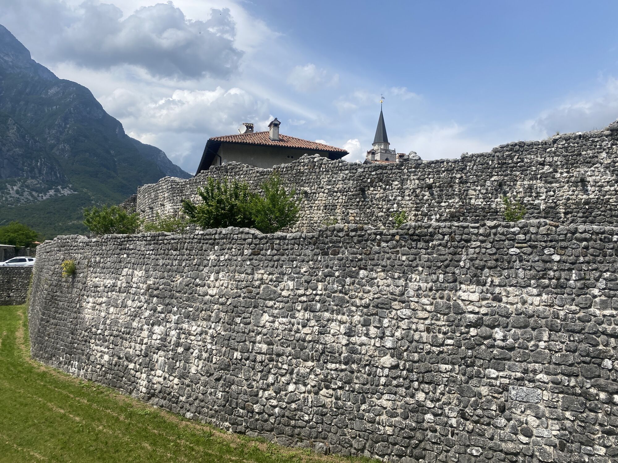
Starting from Venzone, which can also be easily reached with the Bike+Train service, the route continues south to Gemona del Friuli, a town of medieval origin with a castle, palaces, churches and museums....
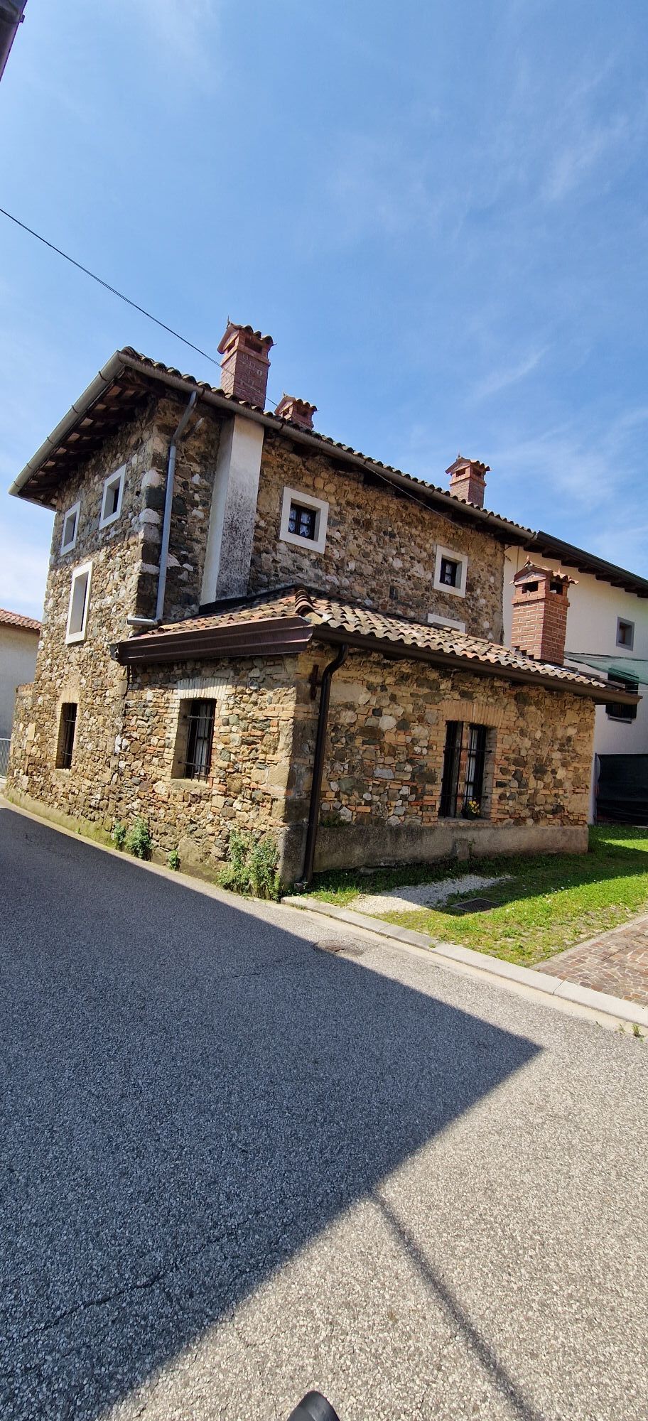
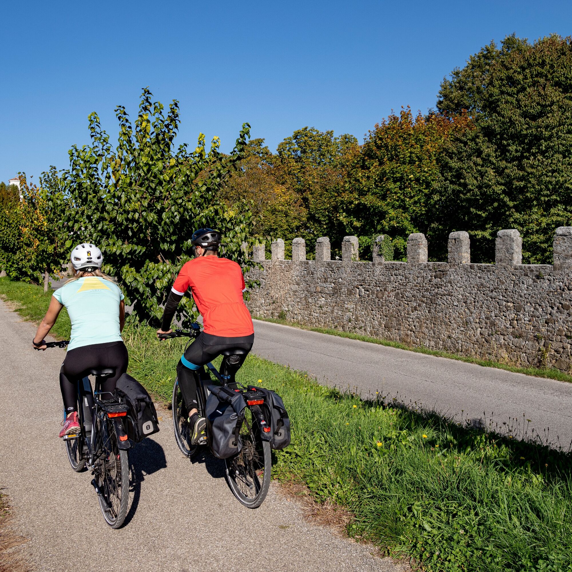
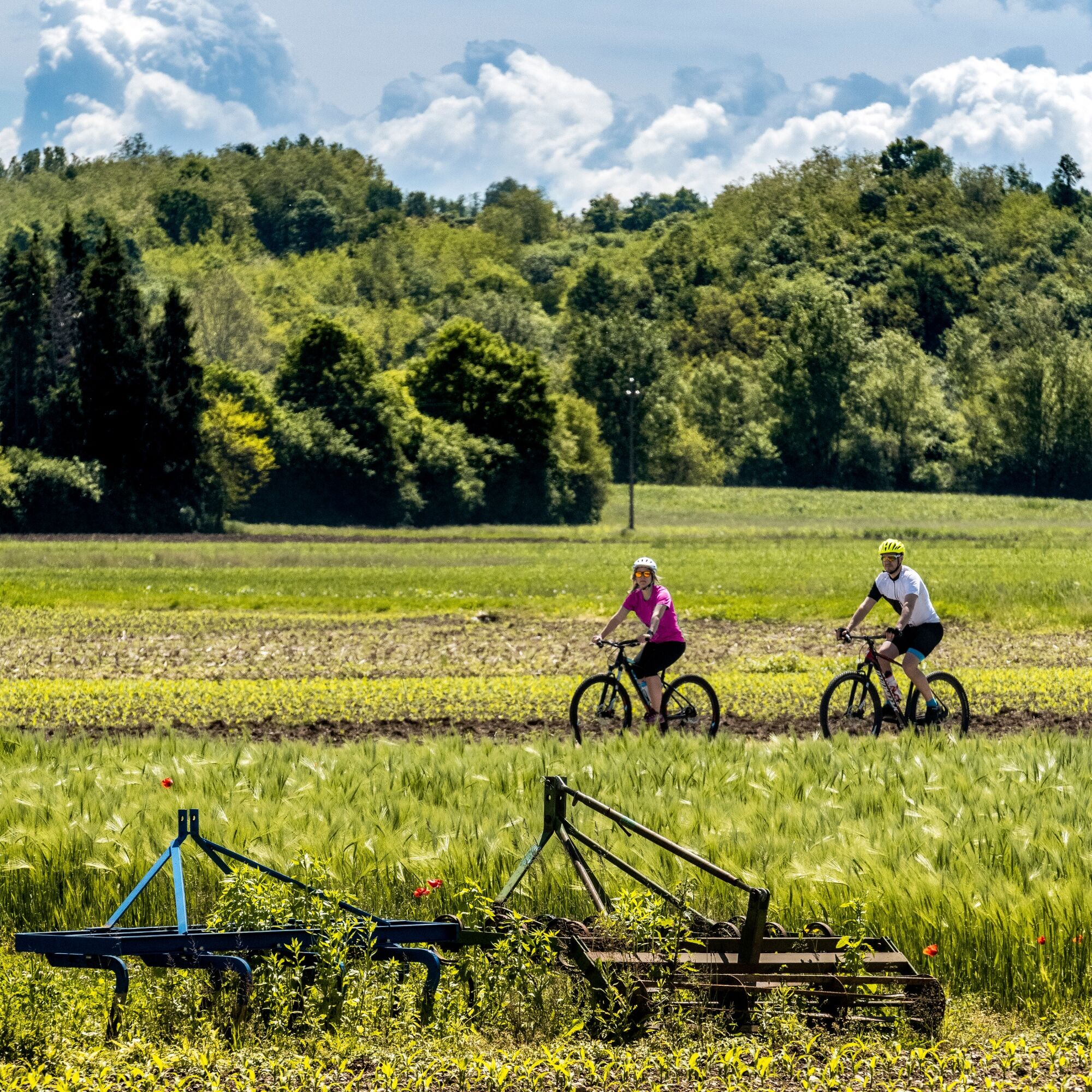
Starting from Venzone, which can also be easily reached with the Bike+Train service, the route continues south to Gemona del Friuli, a town of medieval origin with a castle, palaces, churches and museums. It has now become the crossroads of three cycle itineraries, two of which cross it from north to south (the Alpe Adria and Tagliamento River Cycle Routes), while a third, the Pedemontana Cycle Route, runs from east to west, linking the town to the well-known wine-growing areas of Colli Orientali and Collio to the east and Friuli Grave to the west. At Gemona, you can continue along the Tagliamento river, passing through Osoppo, under the famous fortified hill, or descend to Buia to reach the foothills of the Moraine Hills. These low and pleasant, very fertile hills, dotted with small villages, tidy fields and many medieval castles, are crossed by a route with very few cycling challenges and very gentle slopes.
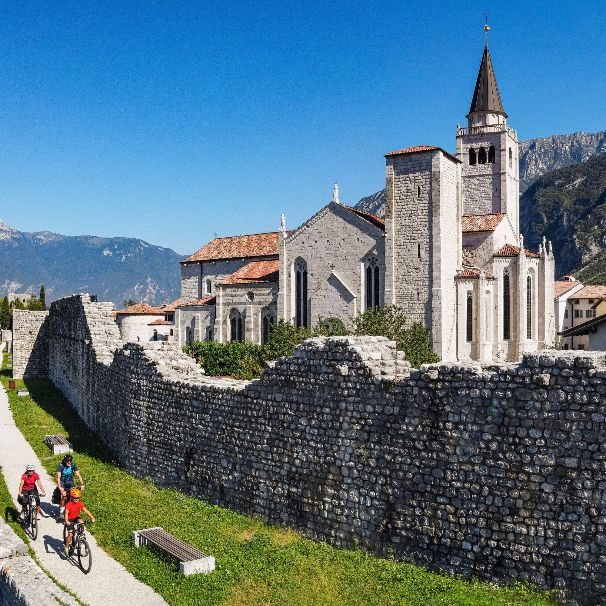
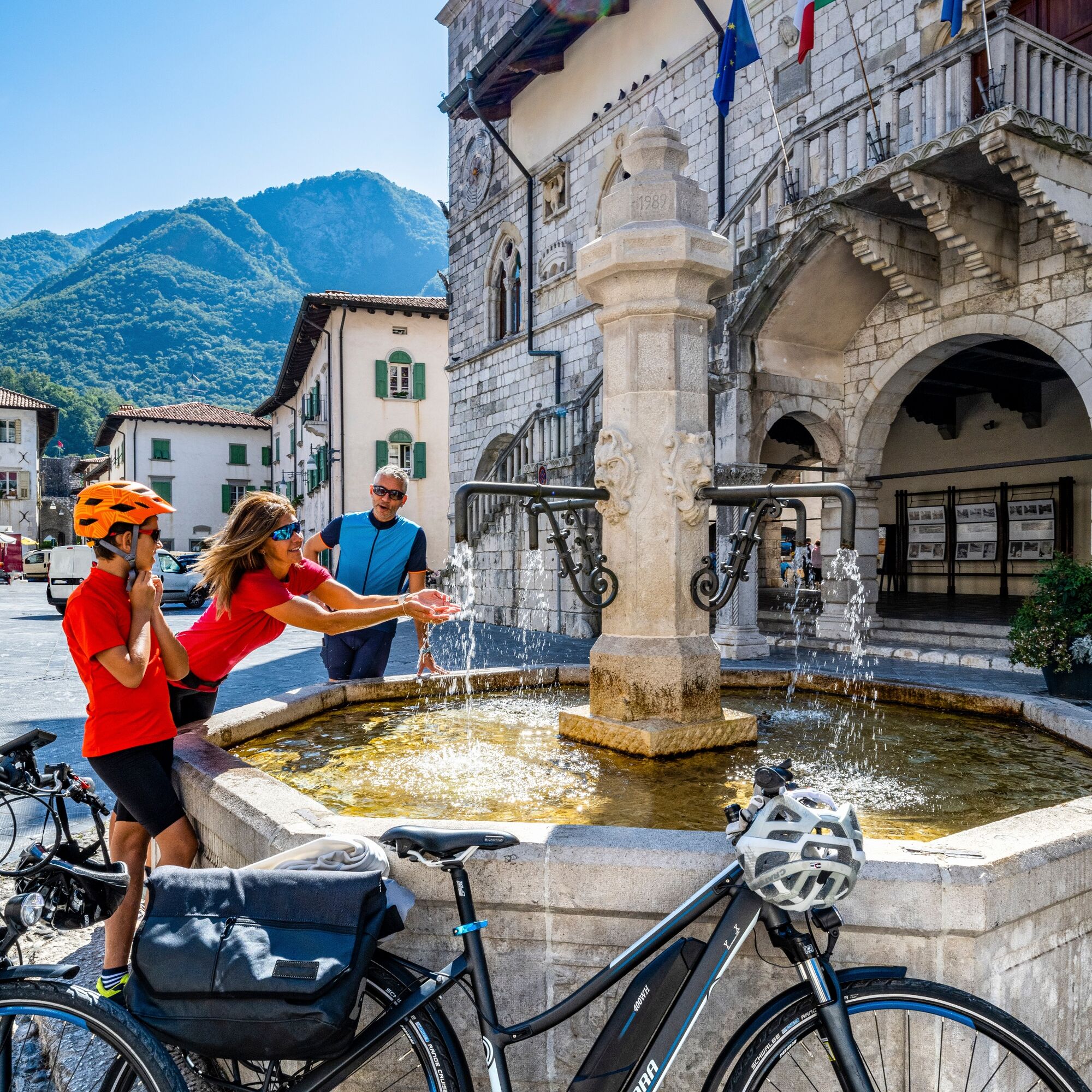
The Upper Friulian Plain is reached at Tavagnacco: the town's cycle tracks lead to the Park of the Cormor Torrent, a sprawling green recreational area on the outskirts of Udine. Along the urban cycle tracks, riders reach the centre of Udine, the capital of Friuli. The city is full of attractions such as palaces, churches, museums, historic gardens with monumental trees and craft shops and is well worth a lengthy stop to admire all these treasures. You will find many hotels and B&Bs, a wide variety of restaurants, tourist info points, intermodal services to all the main towns in Friuli Venezia Giulia and Veneto, and also several bicycle shops, if you have any bicycle repairs that need to be performed.

To ride the Alpe Adria FVG Cycle Route 1 between Venzone and Udine, follow the north-south direction, starting from Venzone and heading toward Gemona del Friuli. Continue following the signs along the Tagliamento River, passing through Osoppo and Buia to explore the moraine hills. Continue south through Tavagnacco until reaching the Cormor Stream Park on the outskirts of Udine. From there, follow urban bike paths to immerse yourself in downtown Udine, where you will appreciate the city's historical and cultural attractions.
The use of helmets is recommended.
Be careful in mixed traffic sections.
To reach the starting point of the bike route Ciclovia Alpe Adria FVG 1 between Venzone and Udine by car, follow the directions on the main road from Venzone to Udine. Use a satellite navigator or online maps by entering the start and finish locations to get the best route based on your exact location.
Venzone is easily accessible with the Train+Bike service that stops right at Venzone Station.
Park in the vicinity of the Venzone Train Station.
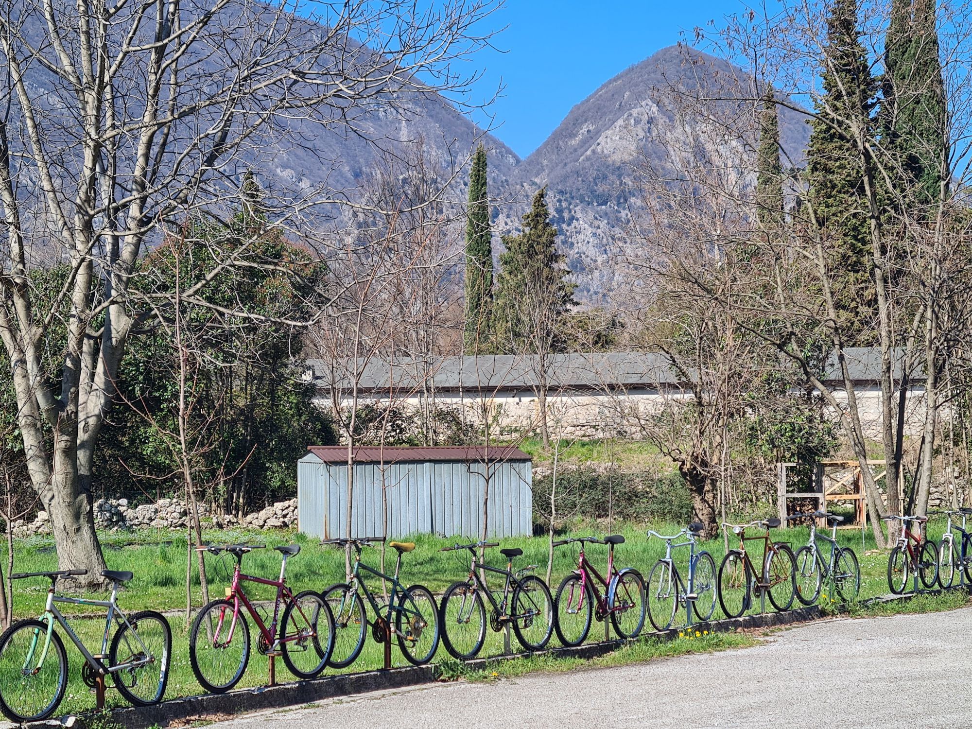
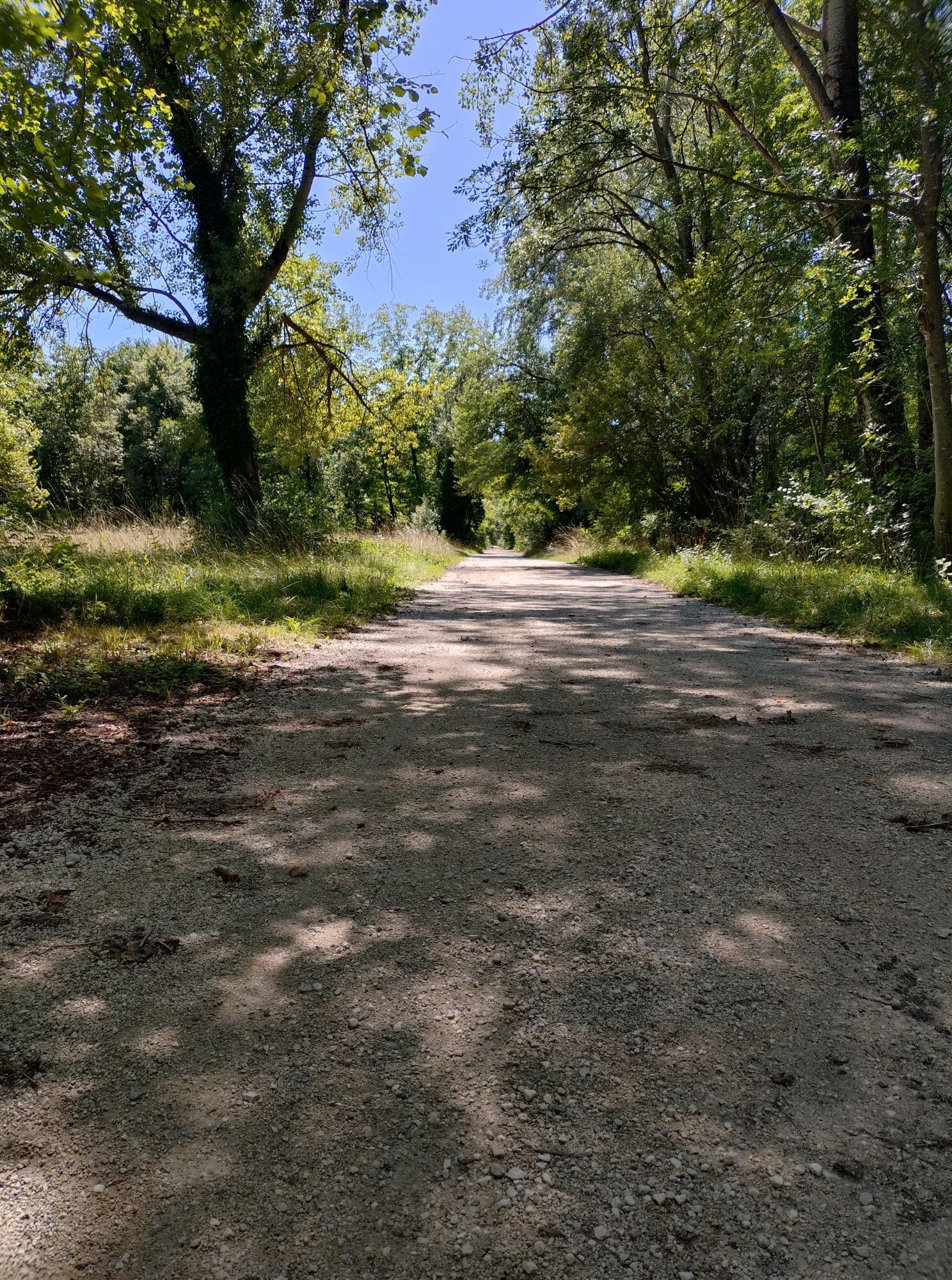
Paved route and almost in its entirety on bike path, with gentle slopes passable even by inexperienced cyclists, families and groups.
If you want to vary itinerary, Gemona is a crossroads of cycle routes, connecting the Alpe Adria and Tagliamento River cycle routes from north to south, and the Pedemontana cycle route from east to west, embracing the renowned wine-growing areas of the Colli Orientali, Collio and Friuli Grave.
Populære ture i området
-
5.0
FVG1 Alpe Adria-cykelruten (C100)
MediumLangdistance-cykelsti 179.3 km -
4.5
Gemona
MediumMountainbike 20.6 km -
5.0
Monte Stella, mellem små landsbyer og vidtstrakte udsigter
lysVandring 9.18 km -
4.0
Mount Cuarnan
lysVandring 4.81 km -
4.7
Monte Cuar loop
MediumVandring 7.26 km -
FVG3 Pedemontana Cycleway (C300)
MediumLangdistance-cykelsti 181.3 km -
Monte di Ragogna by Wilson Holz
lysVandring 12.3 km -
Bernadia, a ridge suspended between history and karst
MediumVandring 16.0 km -
5.0
Waterfall trail in the Orvenco stream valley
MediumVandring 8.90 km -
Anello dei castelli di Attimis
MediumVandring 4.57 km
Vandring og sporing


Gå ikke glip af tilbud og inspiration til din næste ferie
Din e-mailadresse er blevet tilføjet til mailinglisten.