


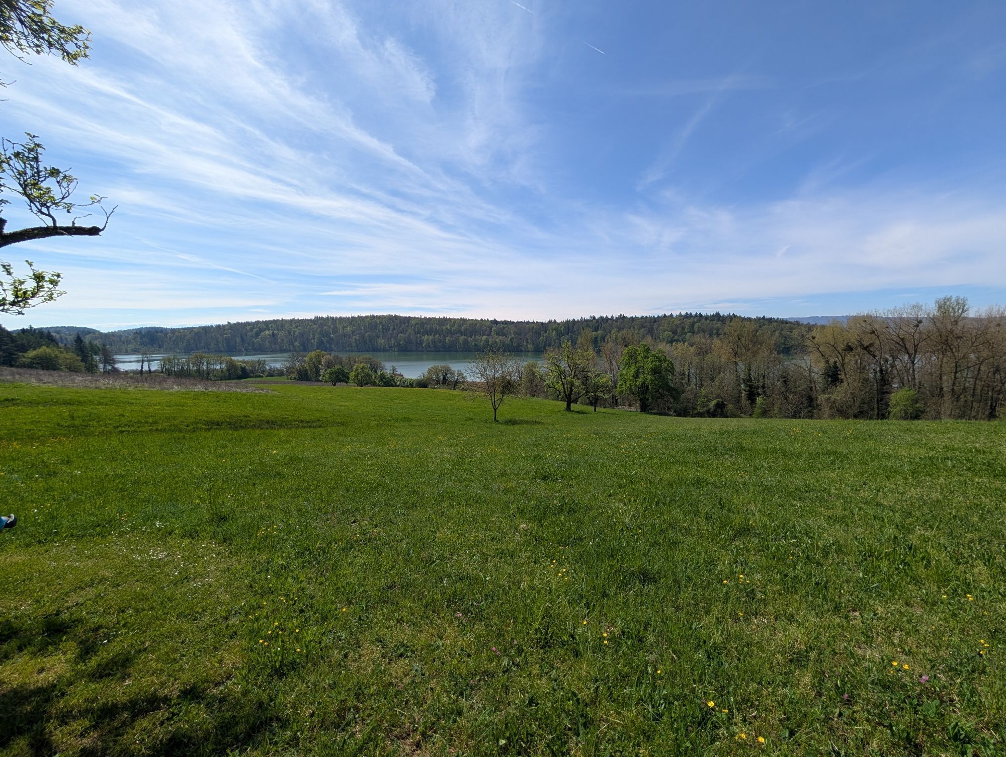
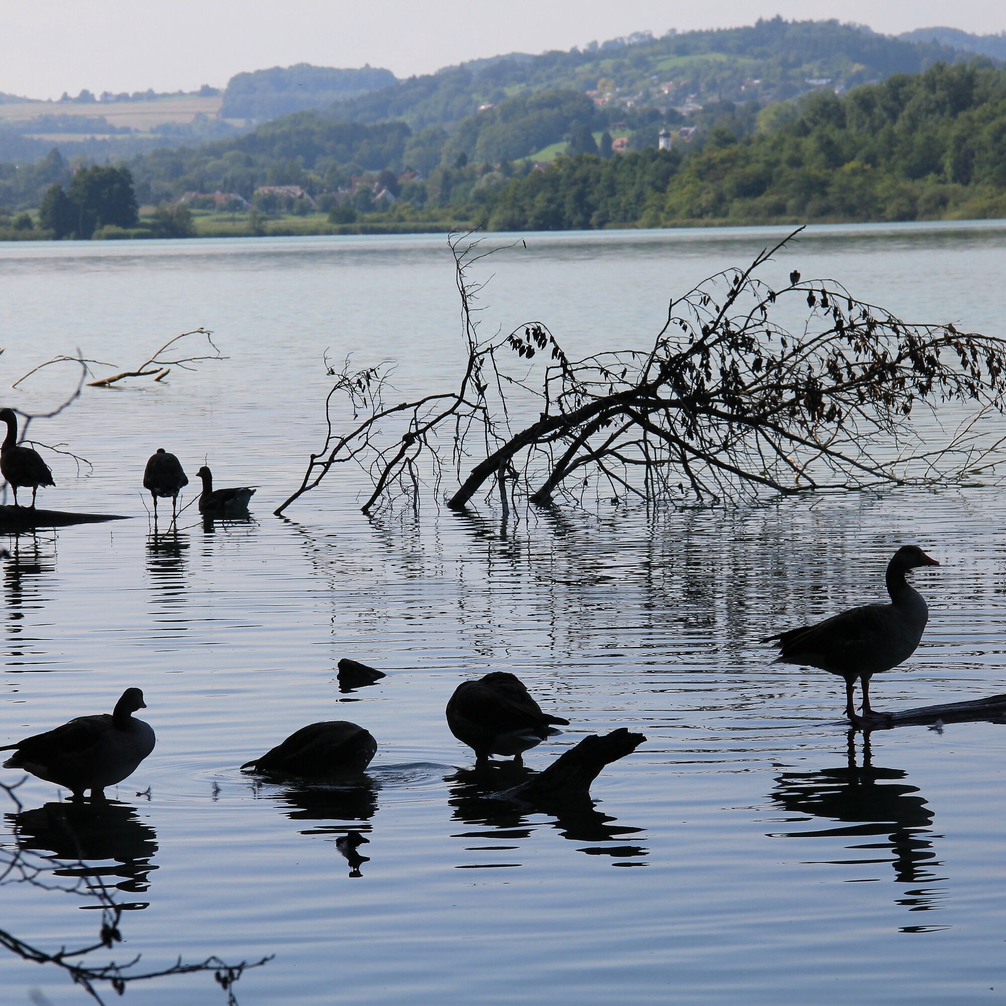
The panoramic hike leads to and around the Mindelsee. The Mindelsee nature reserve is one of the oldest in Germany. The variety of habitats results in a diversity of rare animal and plant species. The...
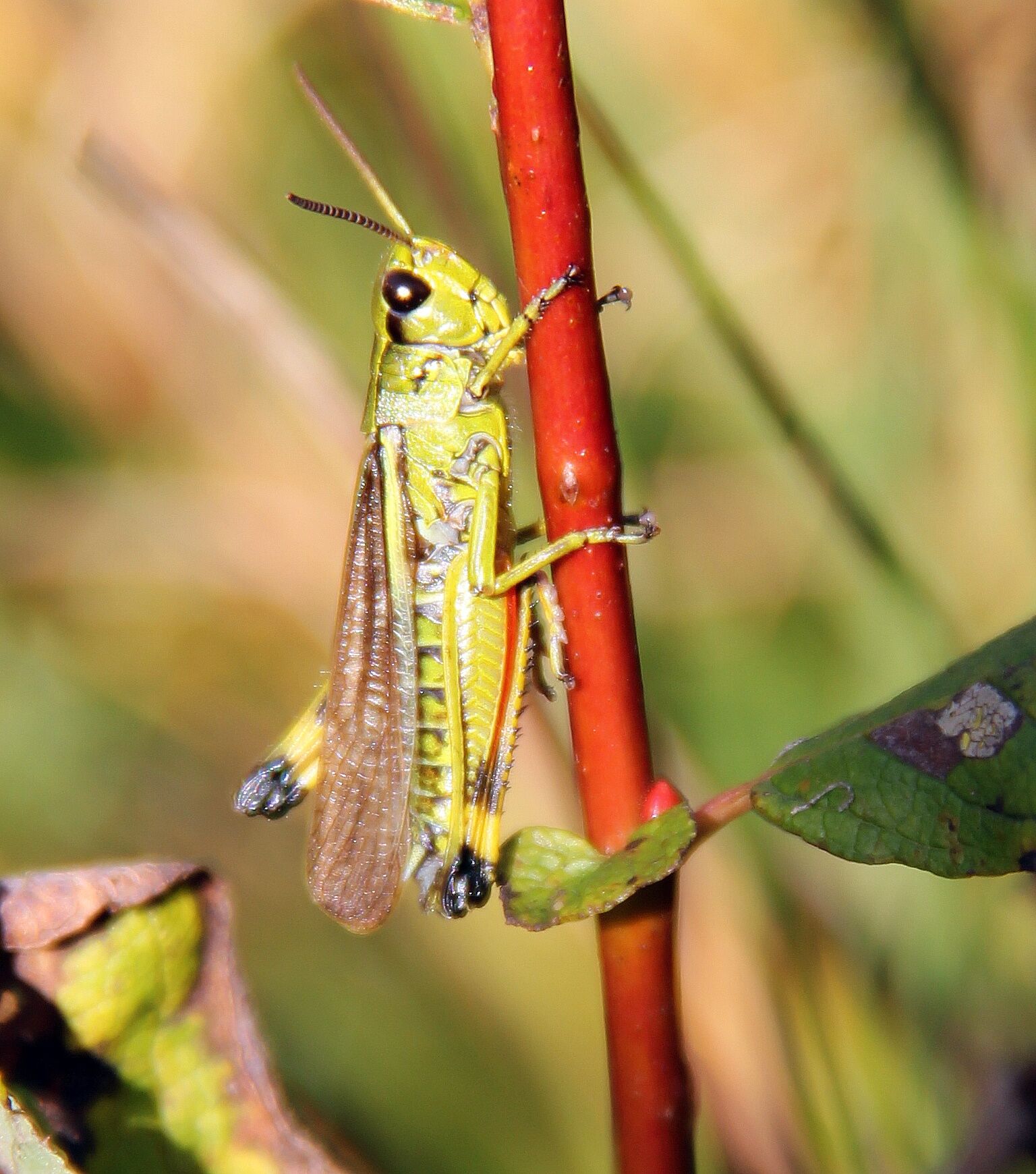
The panoramic hike leads to and around the Mindelsee. The Mindelsee nature reserve is one of the oldest in Germany. The variety of habitats results in a diversity of rare animal and plant species. The area alone is home to more than 20 orchid species and over 2,000 animal species.
The Natura Trail Mindelsee of the Naturfreunde leads through less touristically used areas and thus promises tranquility and relaxation even in the main season, as well as an intense nature experience.

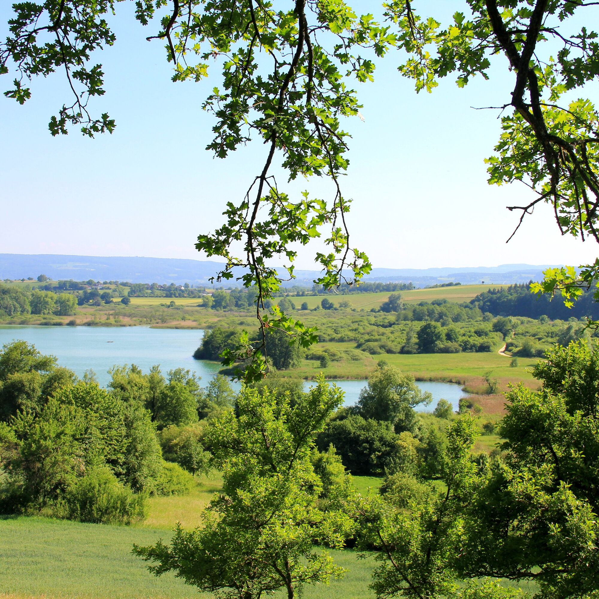
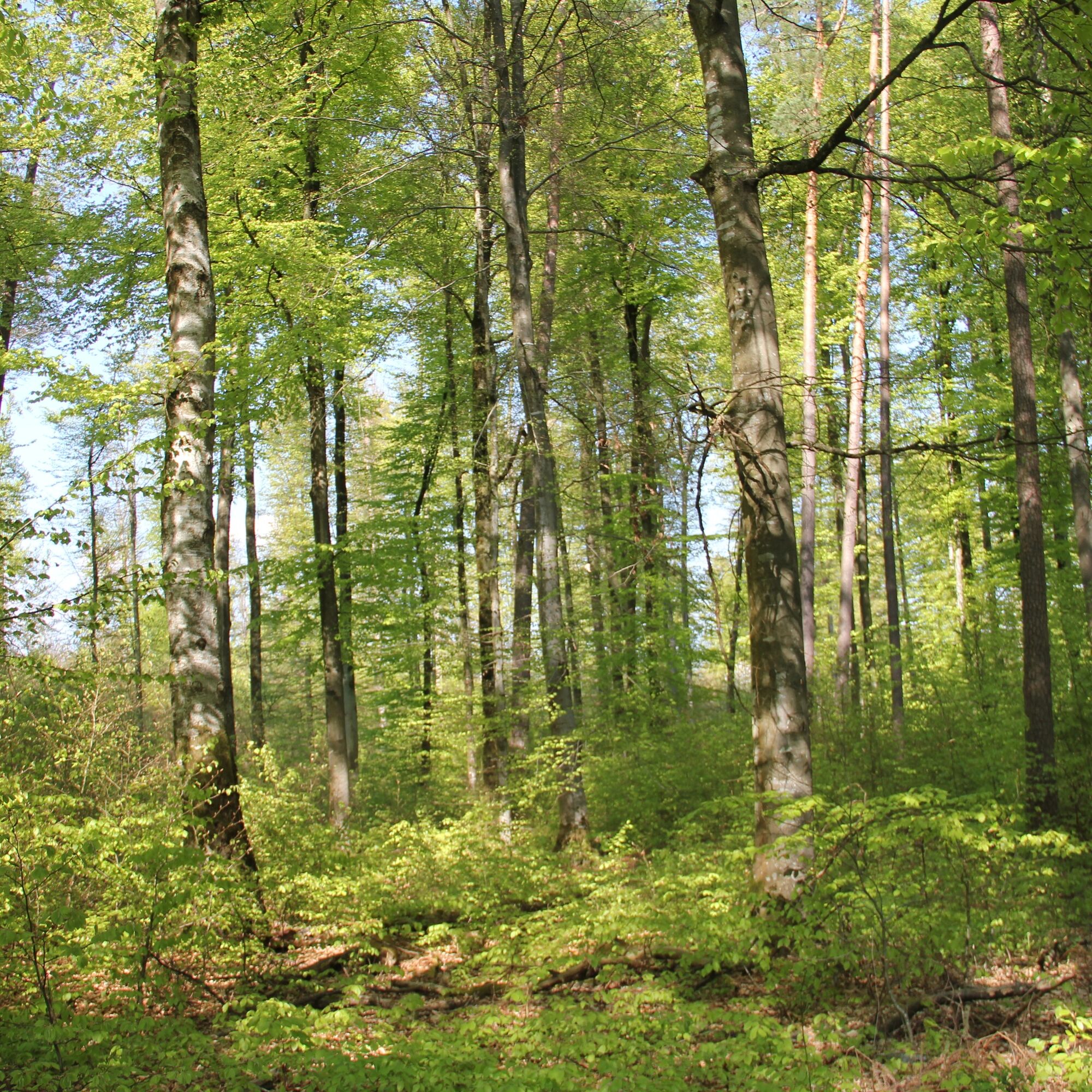
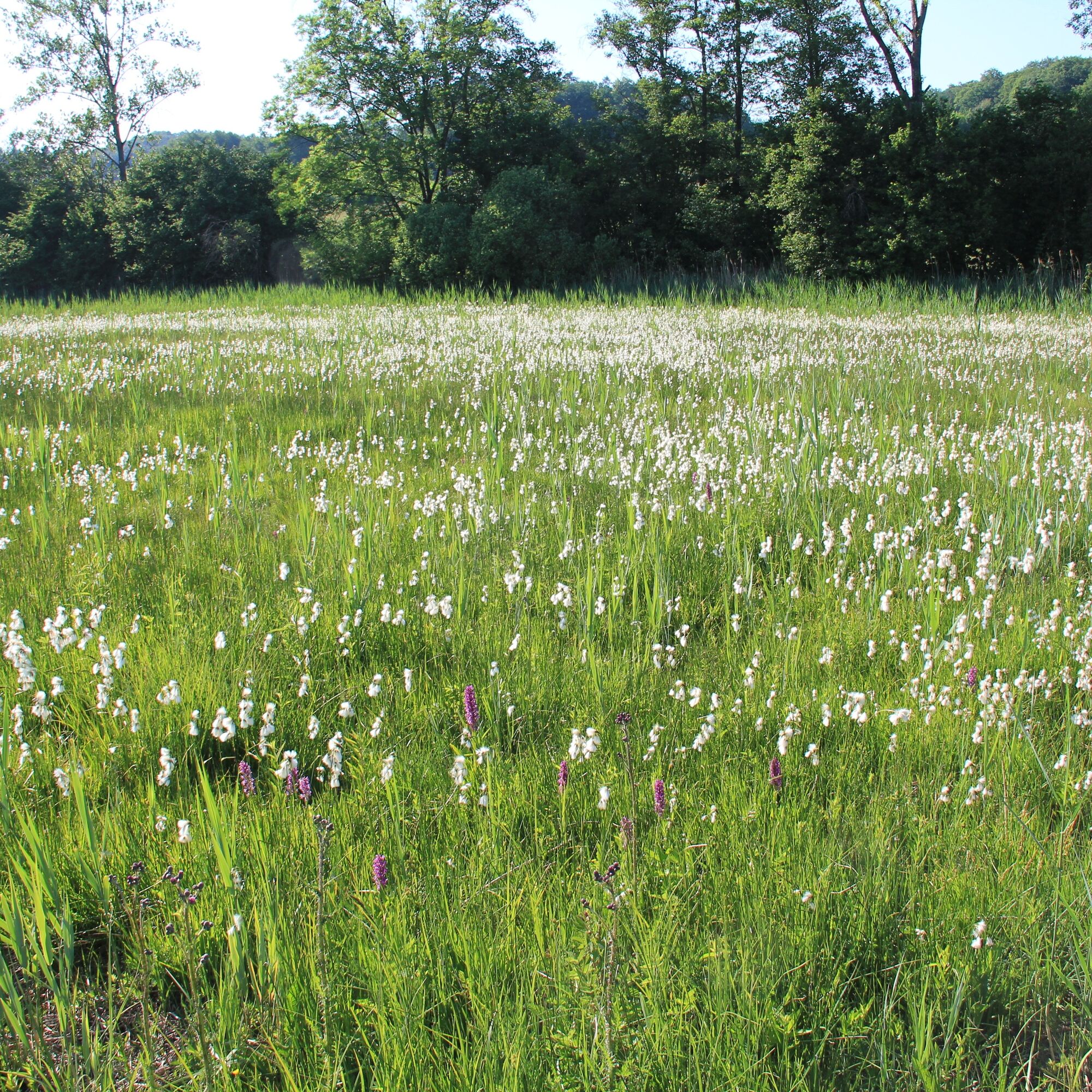
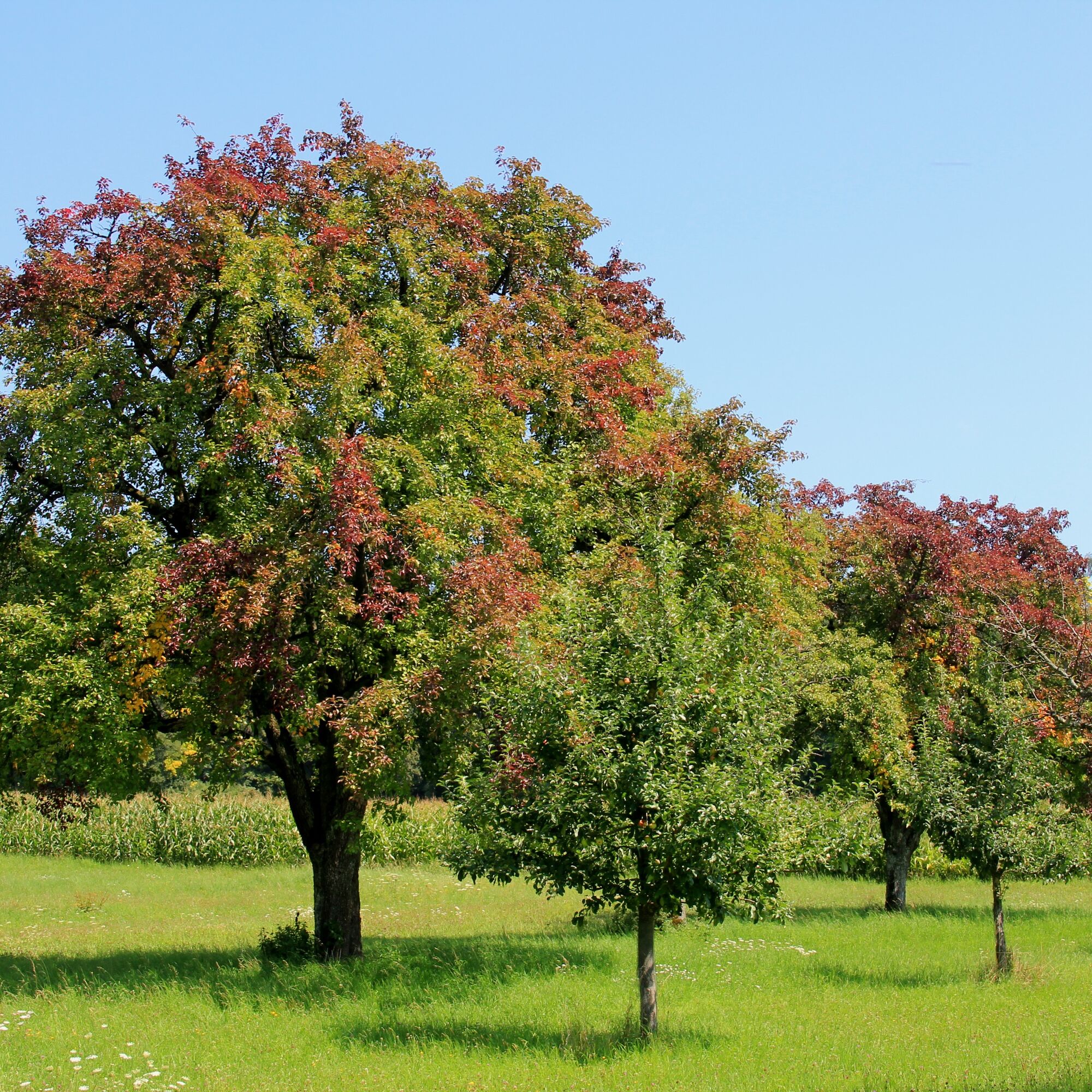
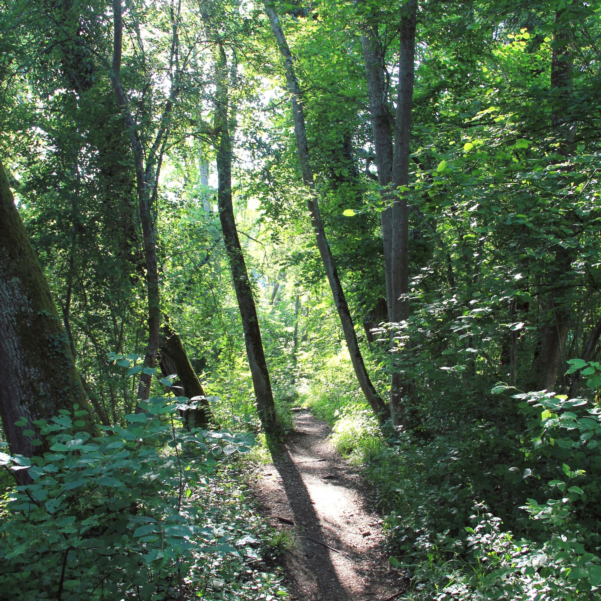

The circular route starts and ends at the Naturfreundehaus Bodensee in Markelfingen. The road above the Naturfreundehaus is crossed, then briefly right on the bike path and further left uphill to the first viewpoint after about 300m. Above the farm, turn left into the field path, the next path to the right and after about 100m again to the left. Following the path in an s-shaped loop, the road is crossed. After about 200m you reach Markelfingen’s water reservoir, from where you can enjoy a magnificent panoramic view over the Untersee, the Hegau, and part of the Mindelsee basin. The path leads into the old district of Markelfingen. At the crossroads, turn left downhill and at the end of the path turn right into Kaltbrunner Straße. Continue straight over the Mühlbach to the chapel. Behind the chapel, turn right into the path (at the information board “The flower meadow”), continue straight crossing the B33. Here the view widens over the Mindelsee. The path descends into the nature reserve. (Variant 2: turn right here and at the end of the path again right, continue at *) The Mindelsee is circled counterclockwise. Back on the original path, take the next right after about 600 m, then follow the sharp left curve (alternatively, at the curve, a shorter path unsuitable for strollers leads right through the riverside, natural floodplain forest). The path meets a small road, turn right here to Dürrenhof and later to Hirtenhof. The ascent is rewarded with beautiful views over the Mindelsee. At the Hirtenhof, at the information board “Mindelsee nature reserve,” turn right downhill, leading through reed areas, meadow orchards, and over the Krebsbach. After the 90° left turn, take the small path right through a birch avenue. Then keep right in the direction of Markelfingen through a magnificent beech forest along the southern shore of the lake. (*) Markelfingen is always crossed straight ahead until reaching the station close to Lake Constance. From there, follow the small path on the lake side of the tracks (“Lifepfad”) to the left back to the Naturfreundehaus.
Ja
Sturdy footwear is recommended. The path through the birch avenue east of the Mindelsee is often muddy, especially after extended rainfalls.
Catering options are only available at the beginning and end of the route. So, remember to bring enough provisions!
Coming from the A81, take the B33 exit Markelfingen. After about 1 km, turn left to Naturfreundehaus Bodensee.
Take the seehas (every 30 minutes) to Markelfingen station. From there, 10-15 minutes to the Naturfreundehaus Bodensee.
Directly at the Naturfreundehaus Bodensee. Free of charge.
You can get the Natura Trail flyer with many exciting infos, especially about nature on the trail, free of charge at Naturfreundehaus Bodensee.
Populære ture i området
-
3.7
Mindelsee-Runde
lysVandring 7.83 km -
4.0
Around the island of Reichenau
lysVandring 10.9 km -
4.0
Bodanrück-Runde
tungVandring 8.36 km -
5.0
Mühlsberg-Runde
MediumVandring 8.67 km -
3.7
Firstweg Langenmos
MediumVandring 5.76 km -
Nature enjoyment on the circular hiking route with a view of Freudental Castle
lysVandring 5.67 km -
Hike on the panorama route of the Höri Peninsula
MediumVandring 8.11 km -
Hegne circular route
lysVandring 4.26 km -
4.0
Homburg-Steig
MediumVandring 5.83 km -
5.0
Natur & Kultur - Rundtour entlang des Überlinger Sees
lysCykling 32.7 km
Vandring og sporing


Gå ikke glip af tilbud og inspiration til din næste ferie
Din e-mailadresse er blevet tilføjet til mailinglisten.