


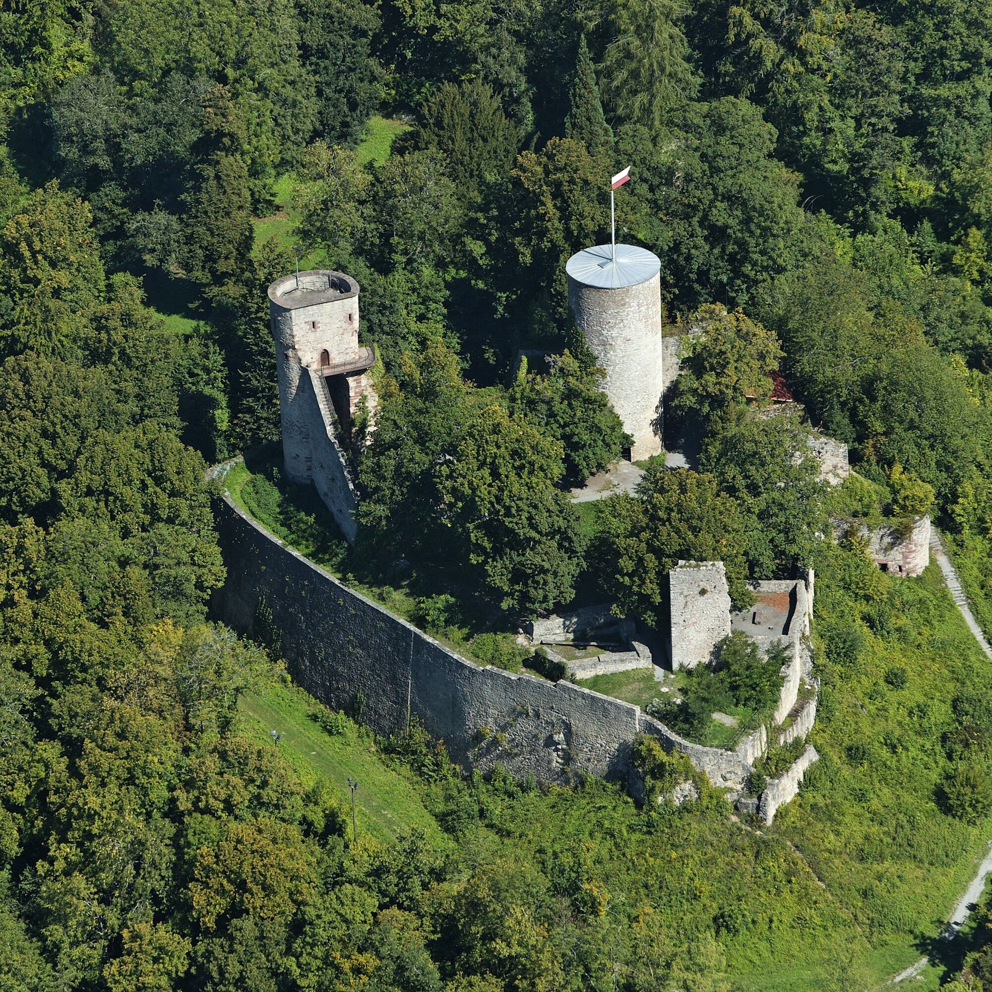
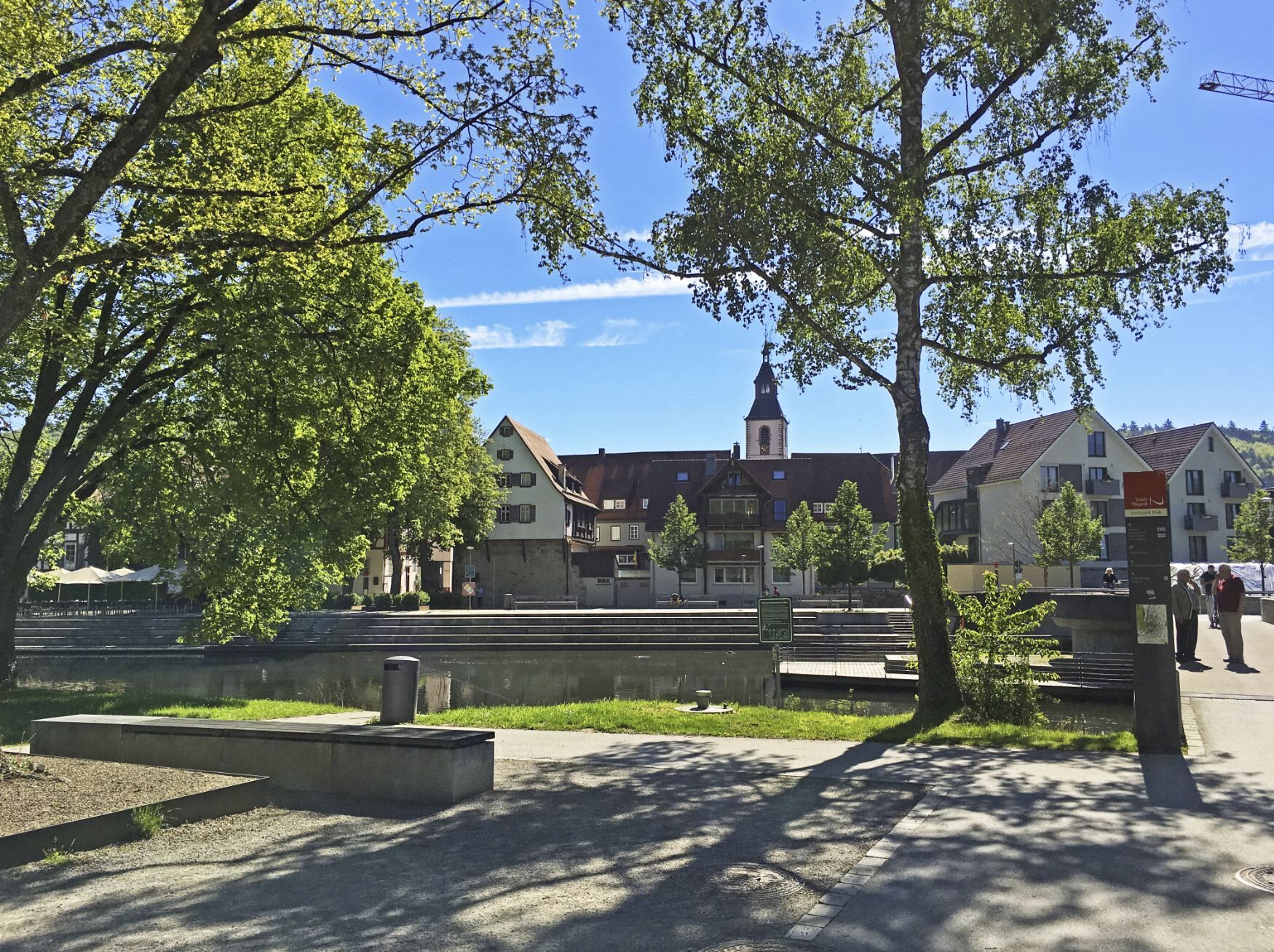
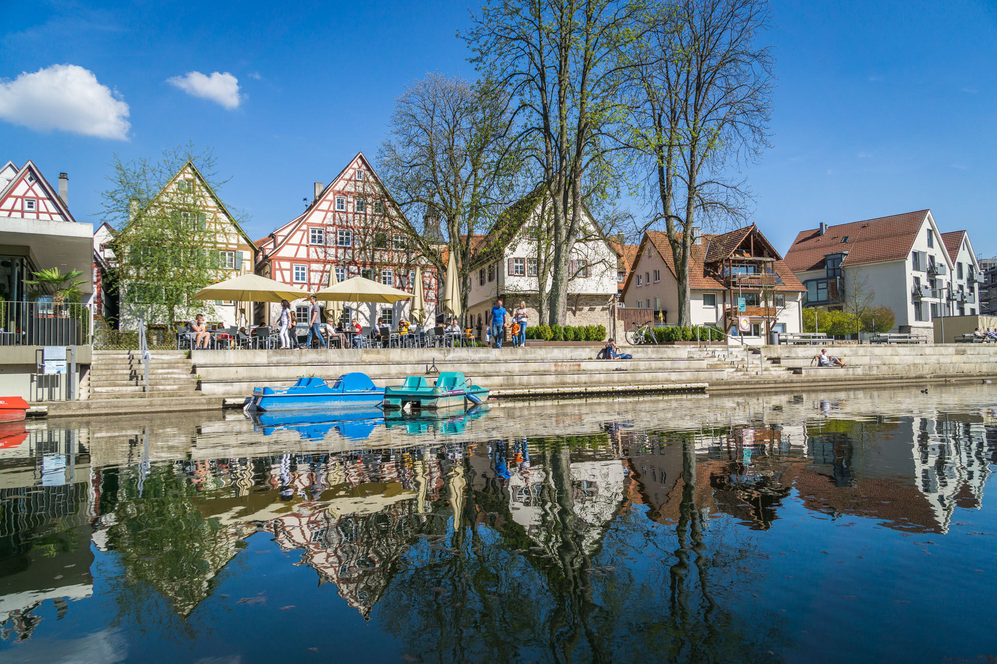
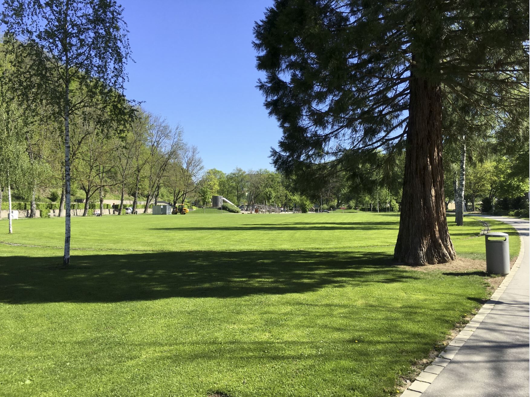
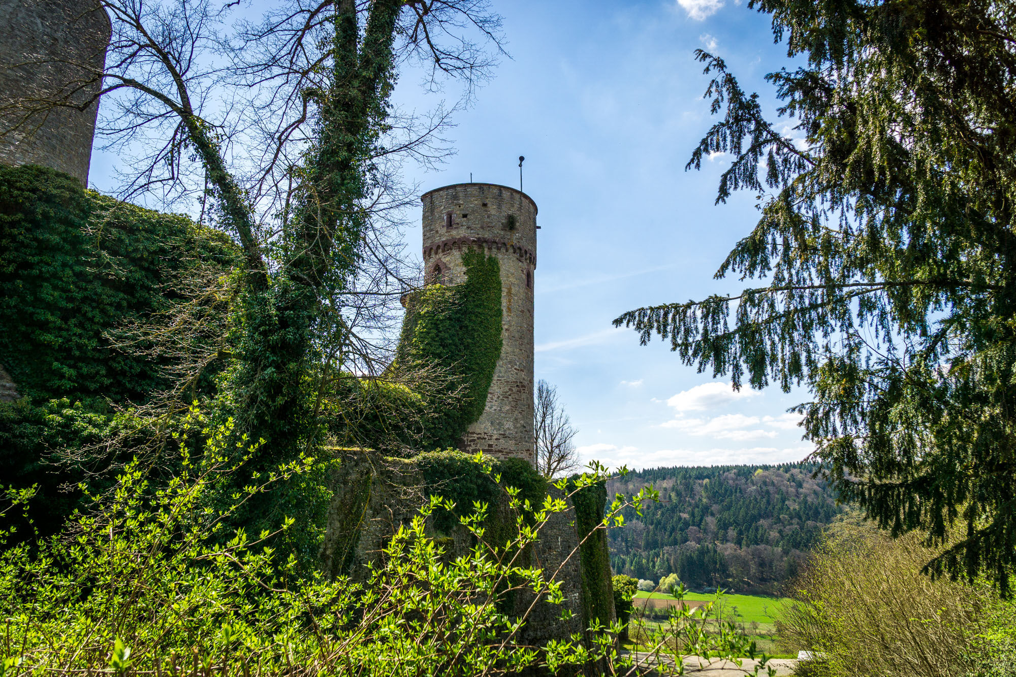
Starting in the urban and vibrant city of Nagold, you go through the Kleb City Park up the castle hill to the Hohennagold castle ruin. From here you have a wonderful view of the city and the Nagold valley....
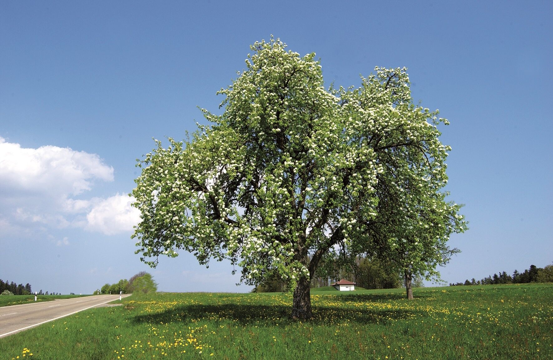
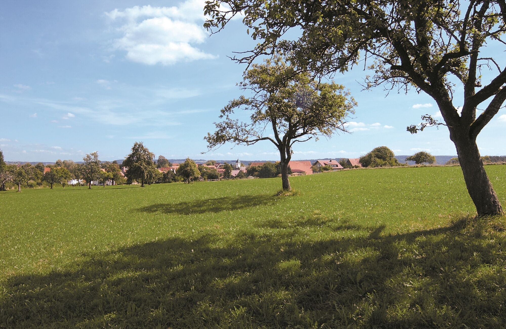
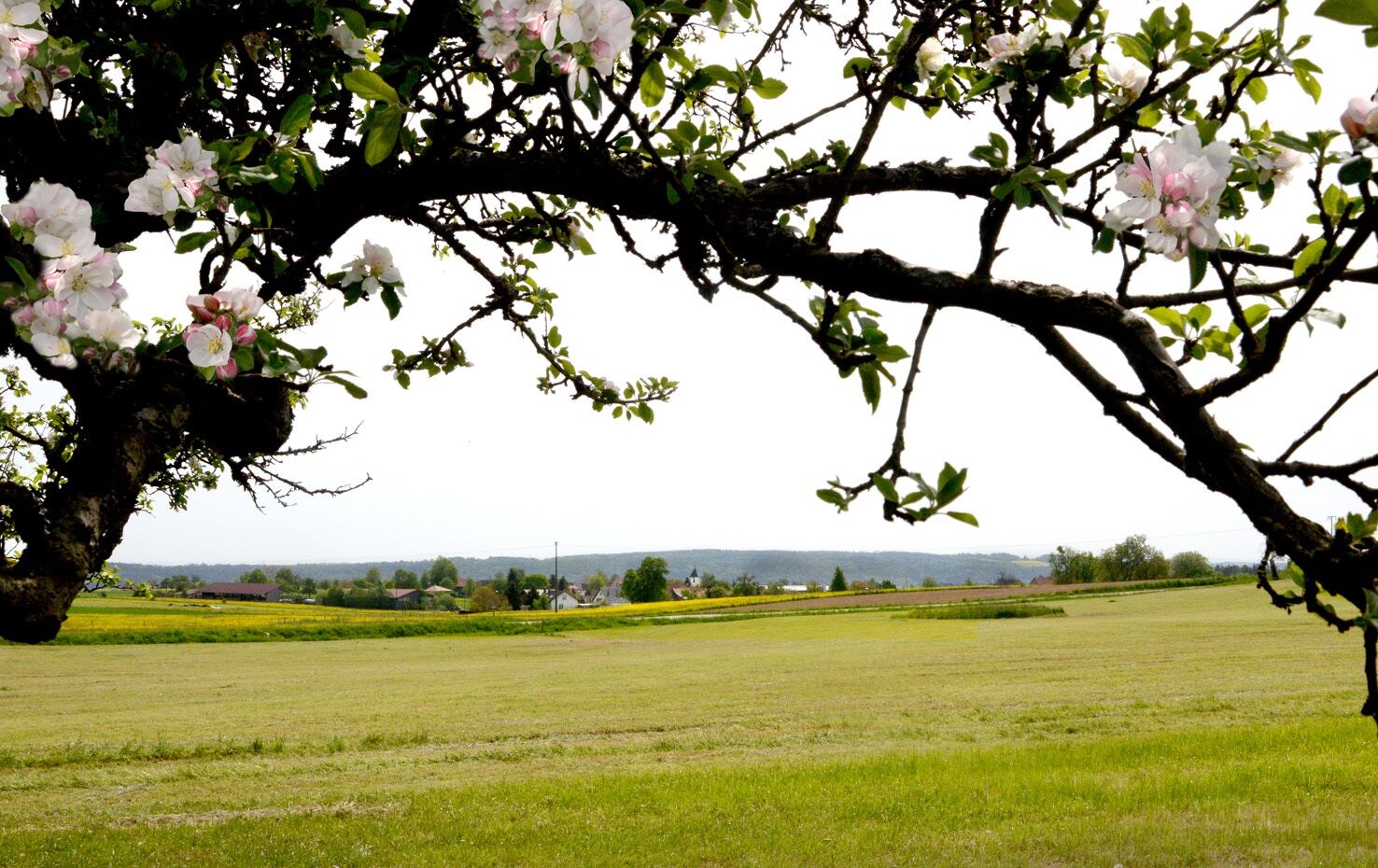
Starting in the urban and vibrant city of Nagold, you go through the Kleb City Park up the castle hill to the Hohennagold castle ruin. From here you have a wonderful view of the city and the Nagold valley. Then it continues with a view into the valley and through the forest to the Nagold district of Mindersbach. Over partly scenic paths and natural trails, the second stage leads across the grounds of the Rotfelden Leisure Park with a place to stop and through the village of Rotfelden along the height. Wide meadows and fields accompany us for most of this hiking stage. Occasionally, scattered orchard trees cross our path to the next stage location.
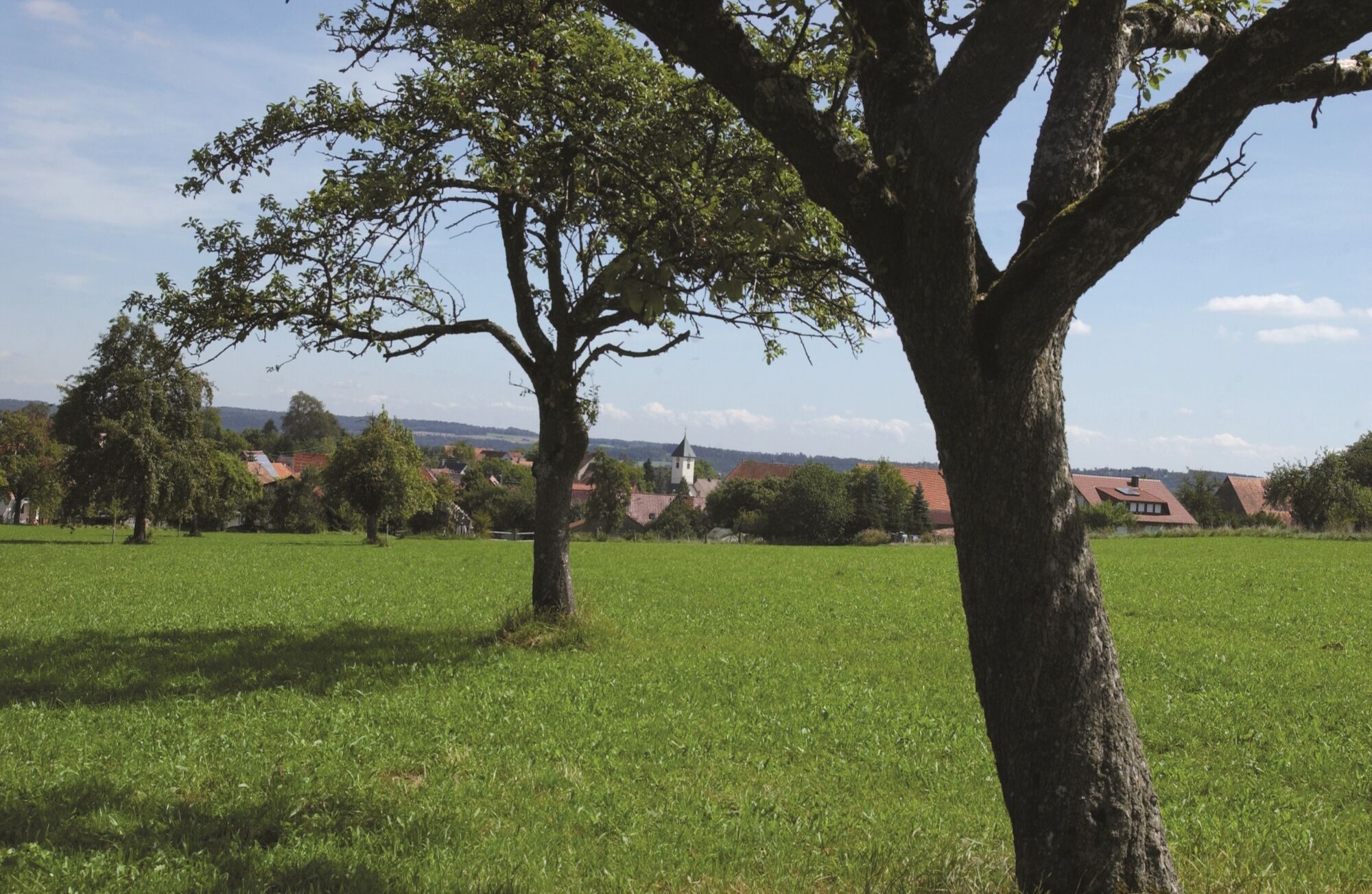
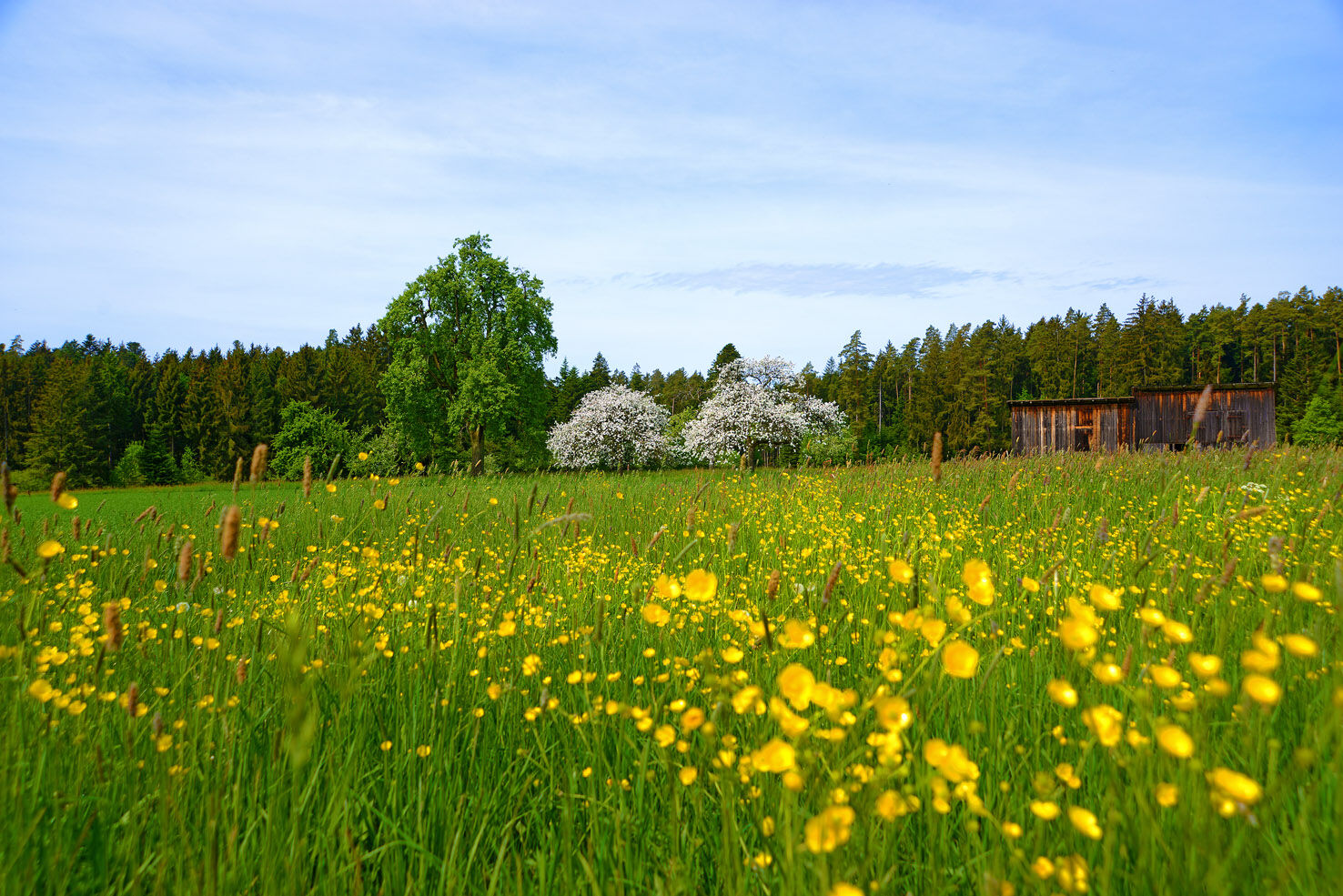
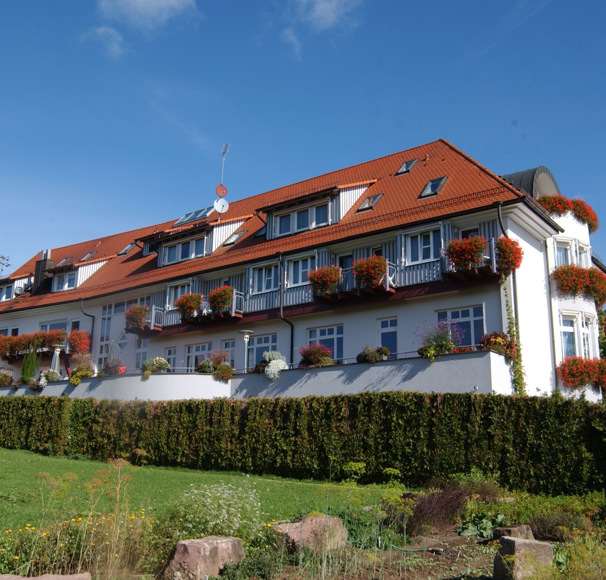
After hiking through Rotfelden, the path leads us through the forest to the idyllic Schwarzenbach. On forest roads and trails, we hike again out of the small valley to the Wildberg district of Schönbronn, to the host for the night. A delicious snack awaits us in the certified hiking hotel.
Since the route runs exclusively on marked paths of the Black Forest Association, we list here the names of the signpost locations marking the route:
WWS Nagold Growing Church
WWS Nagold/Klebsteb
WWS Nature Trail
WWS Castle Hill Saddle
WWS Holy Cross
WWS Mindersbach Wassergässle
WWS Mindersbach/ Town Hall
WWS Mindersbach/At the Church
WWS Mindersbach Valley
WWS Woodpecker Valley
WWS Käpfle
WWS Garden Field
WWS At the Farms
WWS Leisure Park Rotfelden
WWS Ebershardter Way
WWS Rotfelden Burgrain
WWS Rotfelden Church
WWS Schwarzenbach Mill
WWS Hasenmerkle
WWS Brick Meadows
WWS Schönbronn Town Hall
Höhenhof/ Playground
Ja
A backpack, comfortable hiking shoes, possibly telescopic poles, sufficient drinks, and some trail provisions are recommended
You can reach Nagold from Pforzheim and Horb best via the B463.
From Herrenberg, it takes 15 minutes to reach the city center via the federal road.
Bus:
The starting point of the hike is only a few meters from the Nagold central bus station (ZOB). This offers bus connections to all Nagold districts as well as directions to Herrenberg (with a transfer possibility towards Stuttgart), Horb, Altensteig, Wildberg, Bondorf, and Haiterbach.
The destination of the hike is only a few meters from the Schönbronn Church bus stop. From there, buses go towards Wildberg, Neubulach, Herrenberg, Deckenpfronn, and back to Nagold. Some of the buses to Nagold are on-call buses, which must be ordered up to one hour before departure at the following phone number 07051/968855.
Train:
The starting point of the hike is about 500 meters from the Nagold city center station. There the Nagold Valley Railway runs in the directions of Pforzheim (via Calw) and Horb.
Coming from the Nagold city center station, walk along Herrenberger Street towards the city center. Cross Vorstadtplatz straight into Freudenstädter Street. This leads after a few meters to the Nagold central bus station. Coming from the bus station, walk towards the Edeka building and turn right into Uferstraße just before it. You are now on the hiking trail.
Parking garages are available in the city center; otherwise, there are parking spaces on the outskirts and at the city park, below the castle hill.
Tourism GmbH Northern Black Forest
Sonnenweg 5
75378 Bad Liebenzell
Tel: 07052-8169770
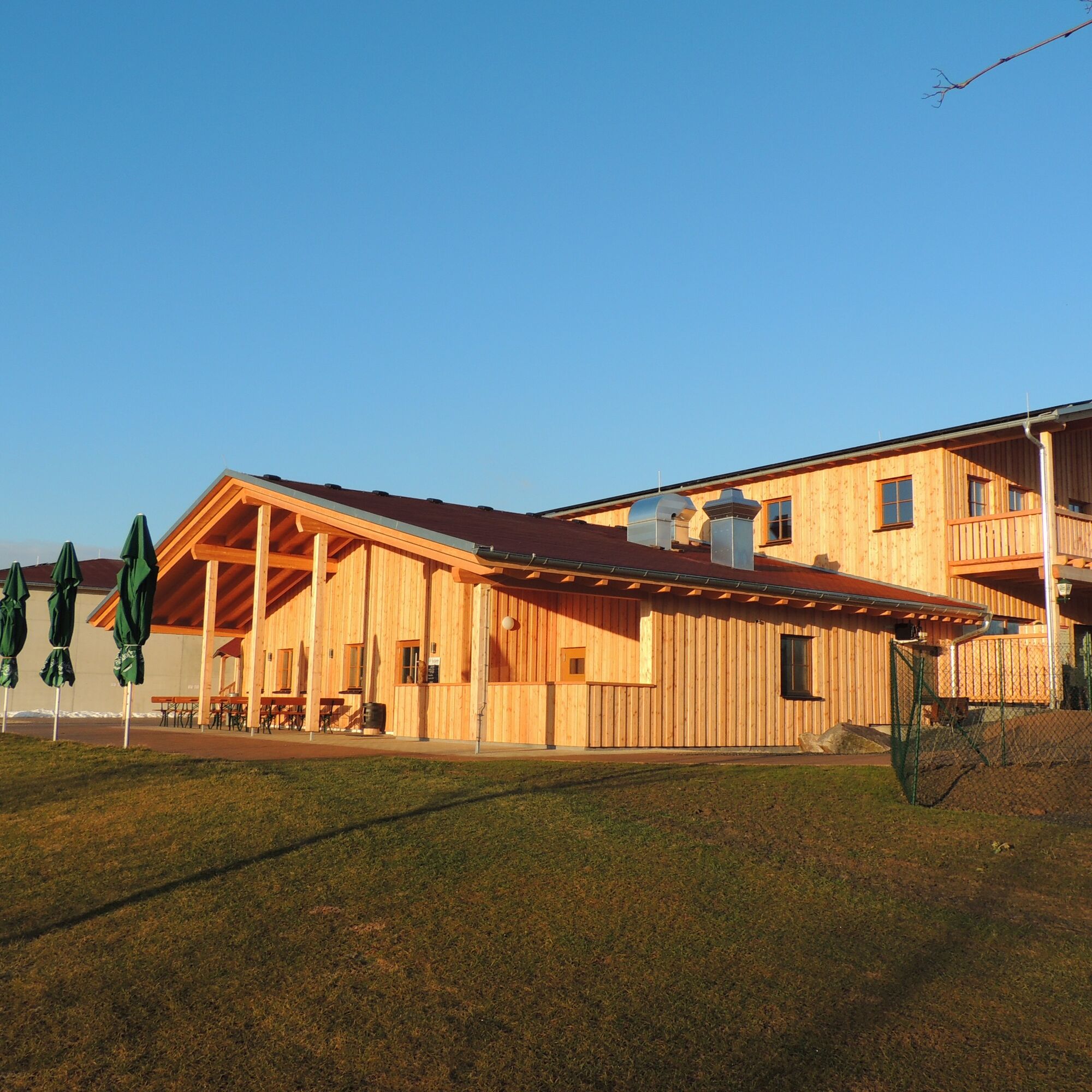
A stop for a culinary break is offered at the Leisure Park Rotfelden. Those who want can add a game of football golf afterwards.
Populære ture i området
-
5.0
Water, Woods and Meadowtrail / Zavelstein > Calw (Premium trail & Genussweg)
tungVandring 14.4 km -
5.0
Nature park hiking round tour Zettelberg in Bad-Teinach
tungVandring 15.5 km -
Exciting circular hike with beautiful views and culture
MediumVandring 9.98 km -
4.0
Naturpark-AugenBlick-Runde Calw-Holzbronn
MediumVandring 13.3 km -
3.0
Ecological nature trail around Bad Teinach
MediumVandring 7.04 km -
Reizvolles Zinsbachtal
MediumVandring 17.8 km -
5.0
Altensteig Nature Adventure Trail
MediumVandring 11.6 km -
5.0
Above the clouds towards Wildberg
MediumVandring 8.15 km -
Discover rock formations
MediumVandring 10.5 km -
5.0
From Altburg over scenic heights to Zavelstein
MediumVandring 10.6 km
Vandring og sporing


Gå ikke glip af tilbud og inspiration til din næste ferie
Din e-mailadresse er blevet tilføjet til mailinglisten.