


The route starts from the town hall via Haller Straße heading east. At the next junction, turn onto K 3323. At the Rosenberg festival square, turn right towards Glassägmühle. With many great landscape...
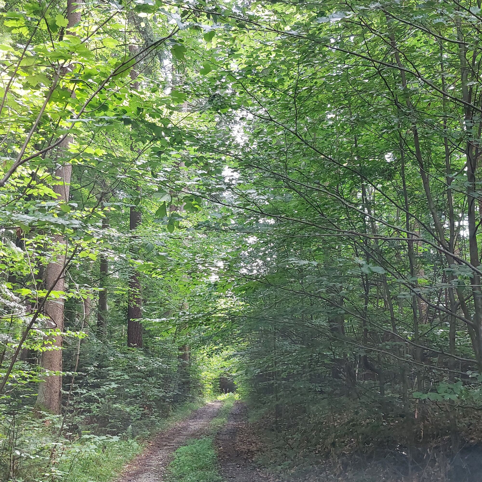
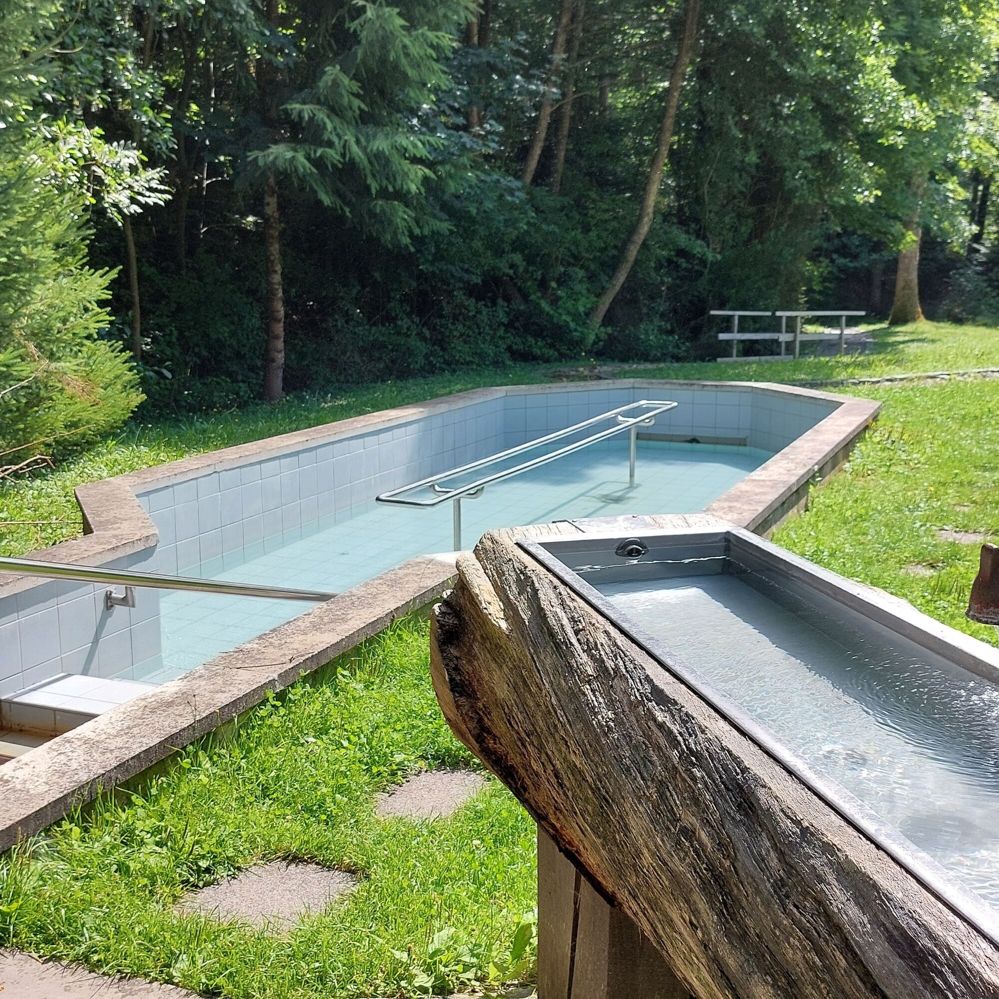
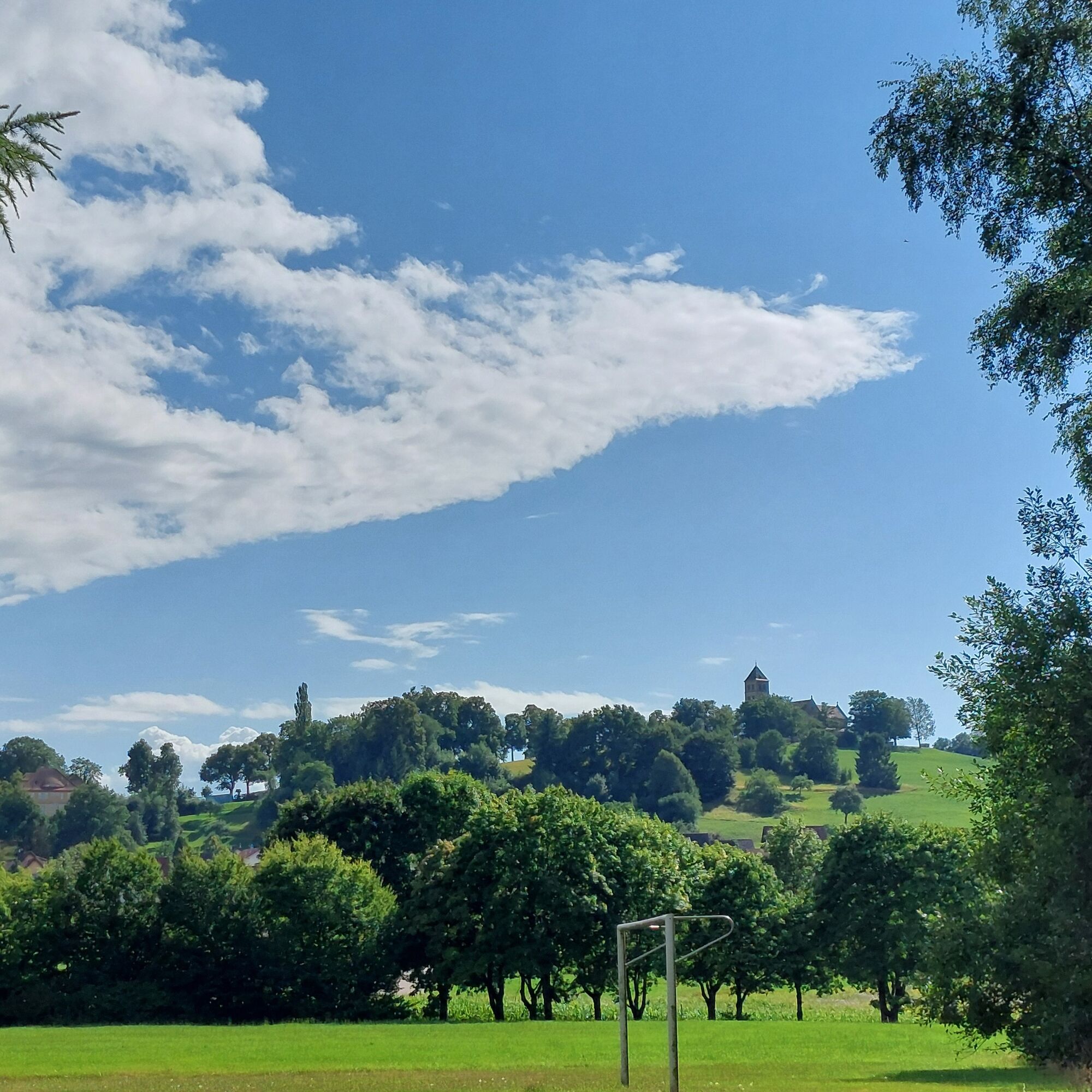
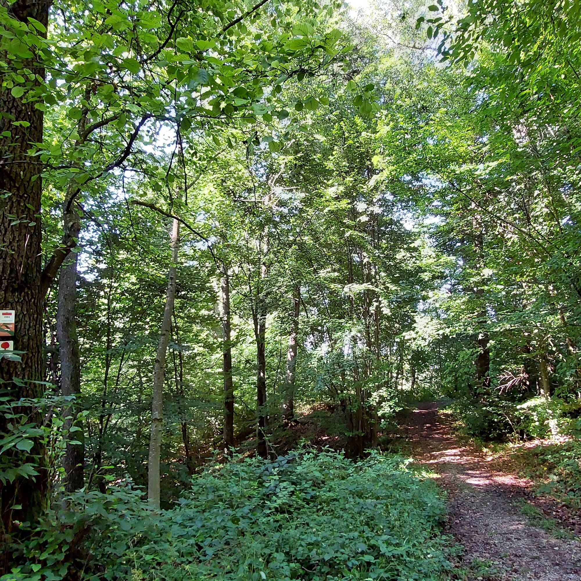
The route starts from the town hall via Haller Straße heading east. At the next junction, turn onto K 3323. At the Rosenberg festival square, turn right towards Glassägmühle. With many great landscape views in the middle of nature, the path leads into the forest. Through various forest landscapes, you reach the Kneipp pool and the barefoot path where you can take a nice break and cool down.
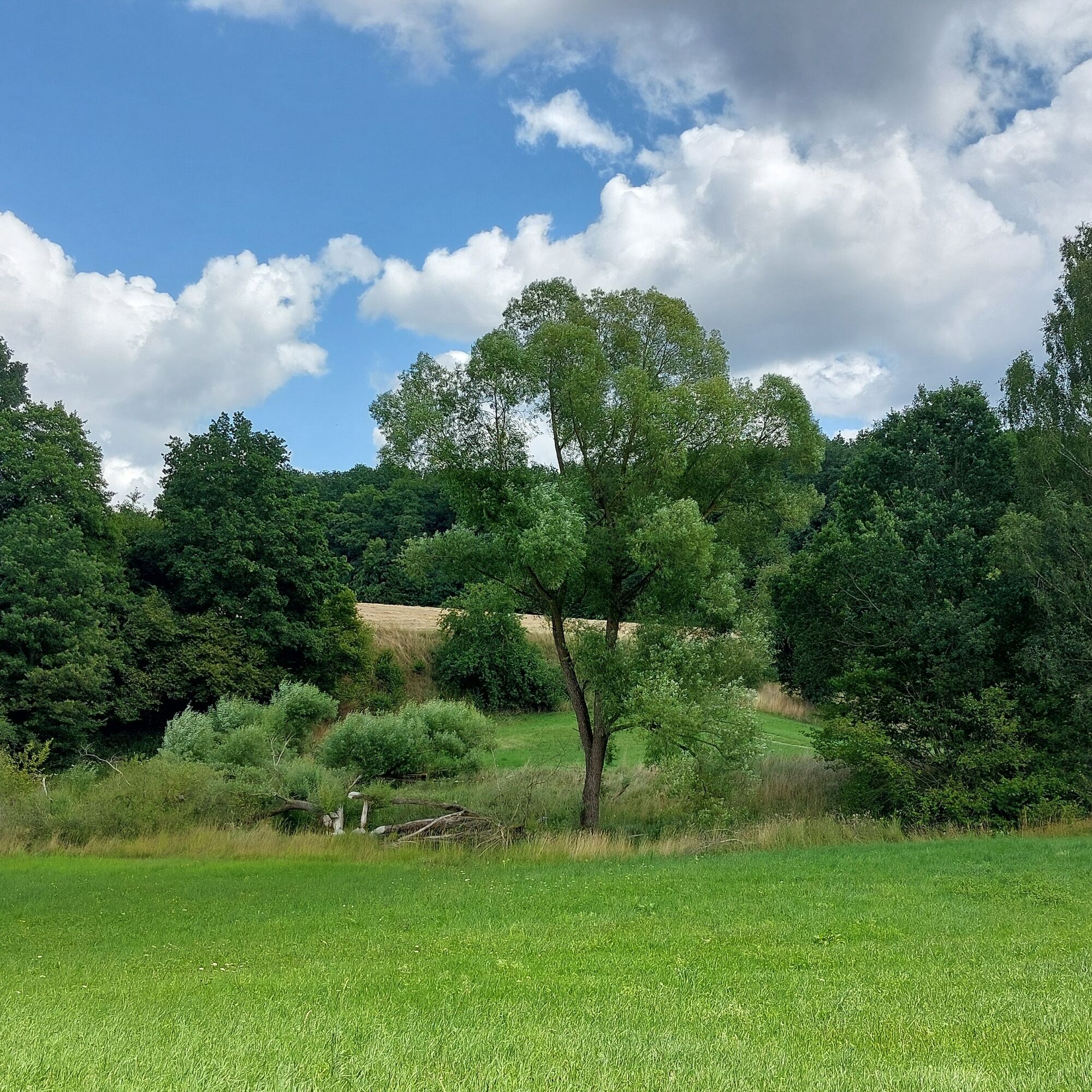
Further on, the hiking trail leads to the idyllic Orrotsee. You now circle the front section of the lake again towards the forest path. This path passes the Holzmühle on the way to Hohenberg.
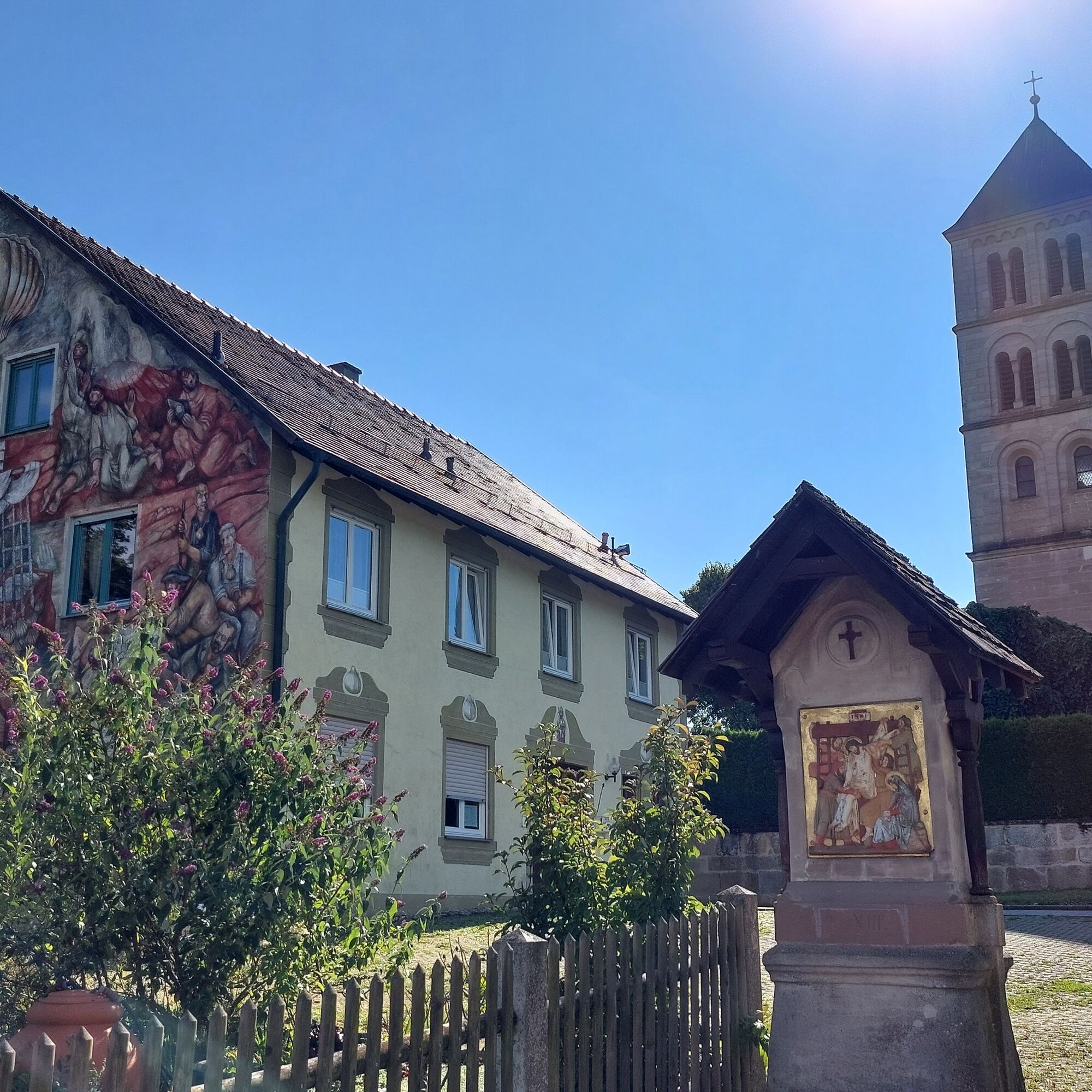
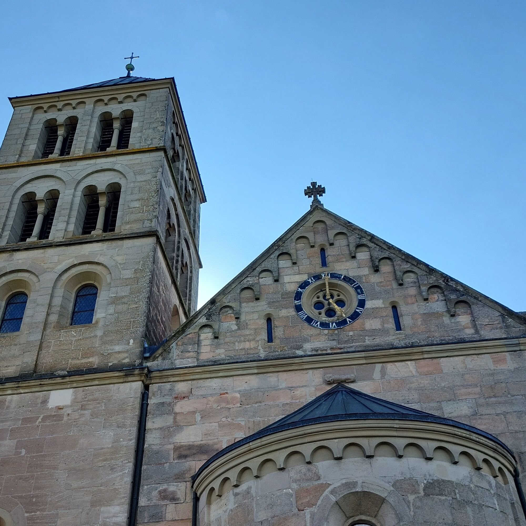
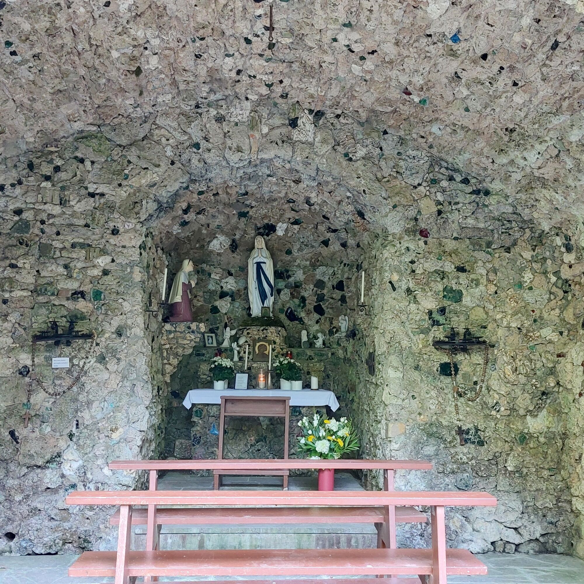
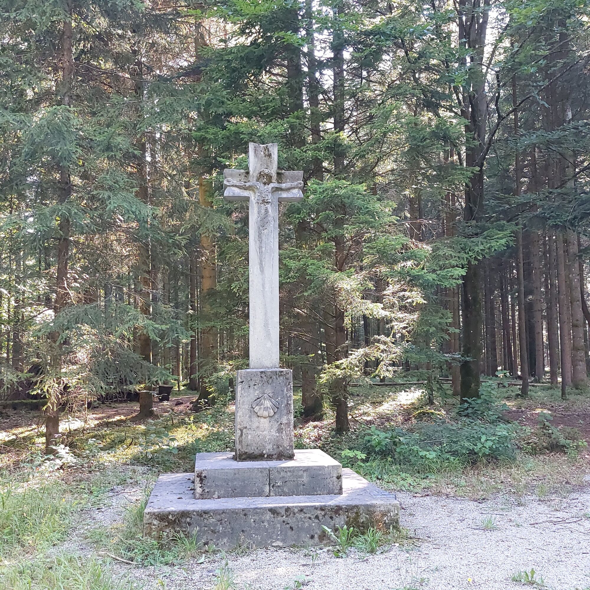
Hohenberg has a lot to offer! The St. Jakobus Church, the rectory, the image pillars, and phenomenal views over Rosenberg and the entire region. Below the church, a narrow forest path leads down to the beautiful Lourdes Grotto. From here, you continue on the long-distance trail HW 4, lined with crosses, back to Rosenberg.


A 7 exit Neunheim. Take L 1060 to Ellwangen. Stay on L 1060 towards Eggenrot to Rosenberg.
Public Transport Company Baden-Württemberg mbH
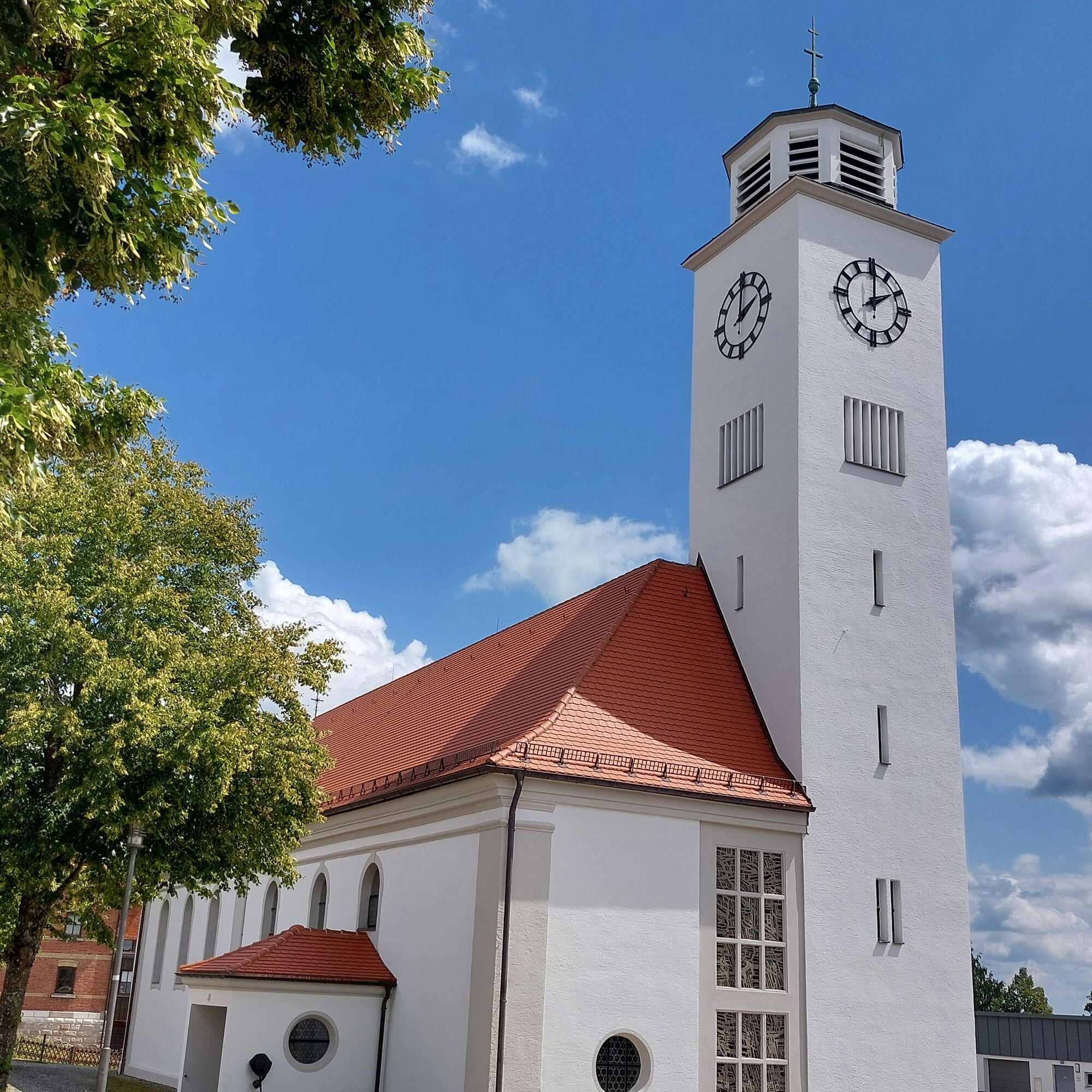
Free parking at the town hall or the Rosenberg church.
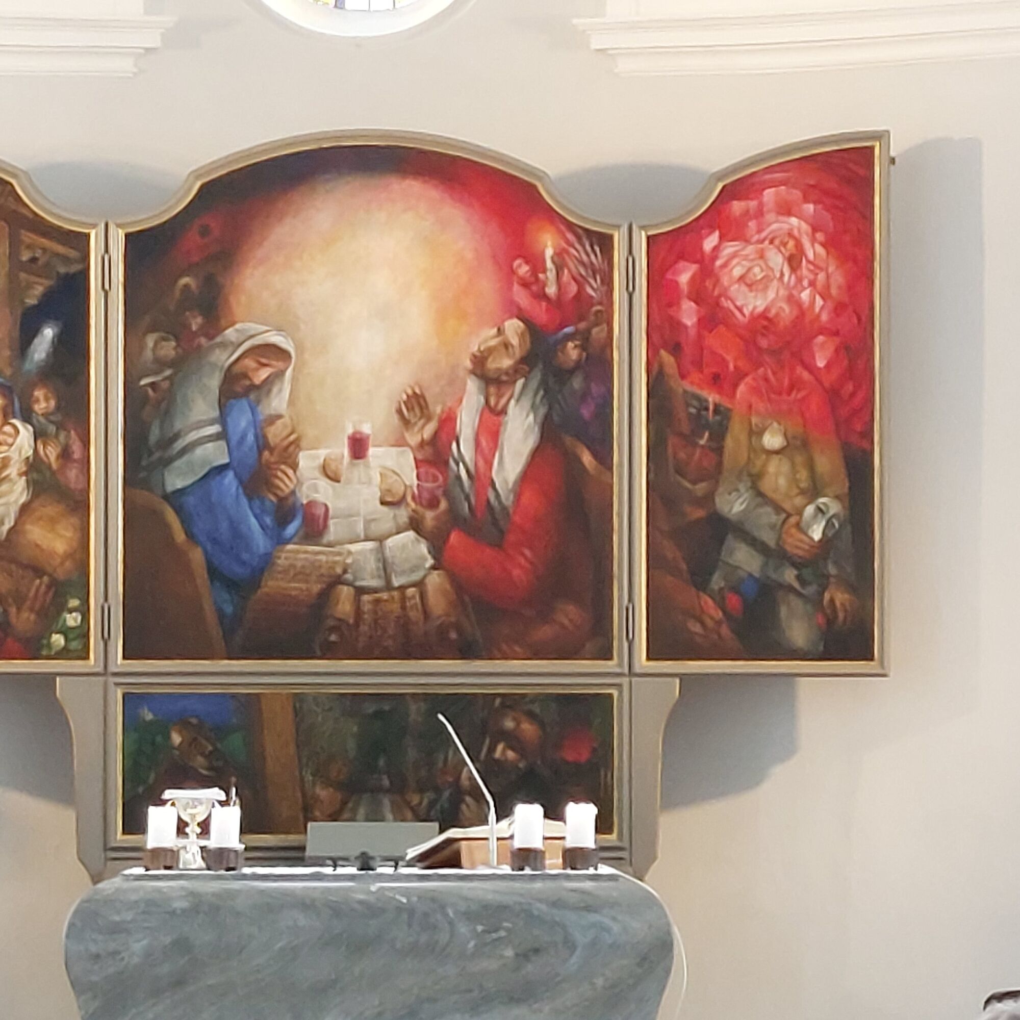
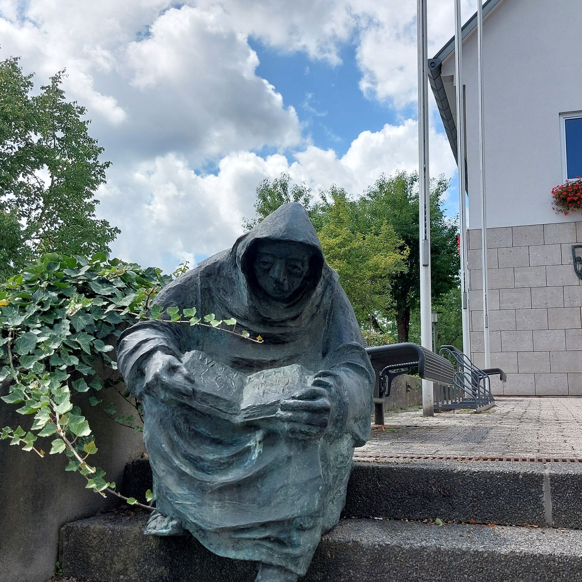
The winged altar by artist-priest Sieger Köder in the Catholic Church Rosenberg is a special piece among his many artworks! Besides the Sieger Köder Center near the town hall, you can also find some of his very distinctive sculptures.
Populære ture i området
-
Motorrad- und Oldtimertour - Tour 4
MediumMotorcykel 239.3 km -
Neuler: Brother Klaus route
Vandring 5.31 km -
Ellwangen Gebrüder-Thumb-Weg
Vandring 6.66 km -
Etappe 1 - Kocher-Jagst-Radweg: Von Aalen bis Schwäbisch Hall – Durchs obere Kochertal
MediumLangdistance-cykelsti 65.6 km -
Skulpturenrundweg Neuler-Hüttlingen
MediumTemaspor 12.2 km -
Querverbindung Q12 Hüttlingen nach Rainau-Buch/Limespark
lysCykling 5.23 km -
Sonntagstour
MediumMountainbike 37.6 km -
Crailsheim - Goldbach - Rundtour
lysMountainbike 13.1 km -
Zum höchsten Punkt
MediumVandring 19.2 km -
5.0
Rainau
Vandring 3.54 km
Vandring og sporing


Gå ikke glip af tilbud og inspiration til din næste ferie
Din e-mailadresse er blevet tilføjet til mailinglisten.