© Tourismusagentur Ostbelgien

© StädteRegion Aachen - Dominik Ketz

© StädteRegion Aachen - Dominik Ketz

© StädteRegion Aachen - Dominik Ketz

© StädteRegion Aachen - Dominik Ketz

© StädteRegion Aachen - Dominik Ketz

© StädteRegion Aachen - Dominik Ketz

© Community - Johannes Tönne

© Community - Johannes Tönne

© Tourismusagentur Ostbelgien

- Kort beskrivelse
-
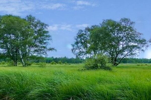
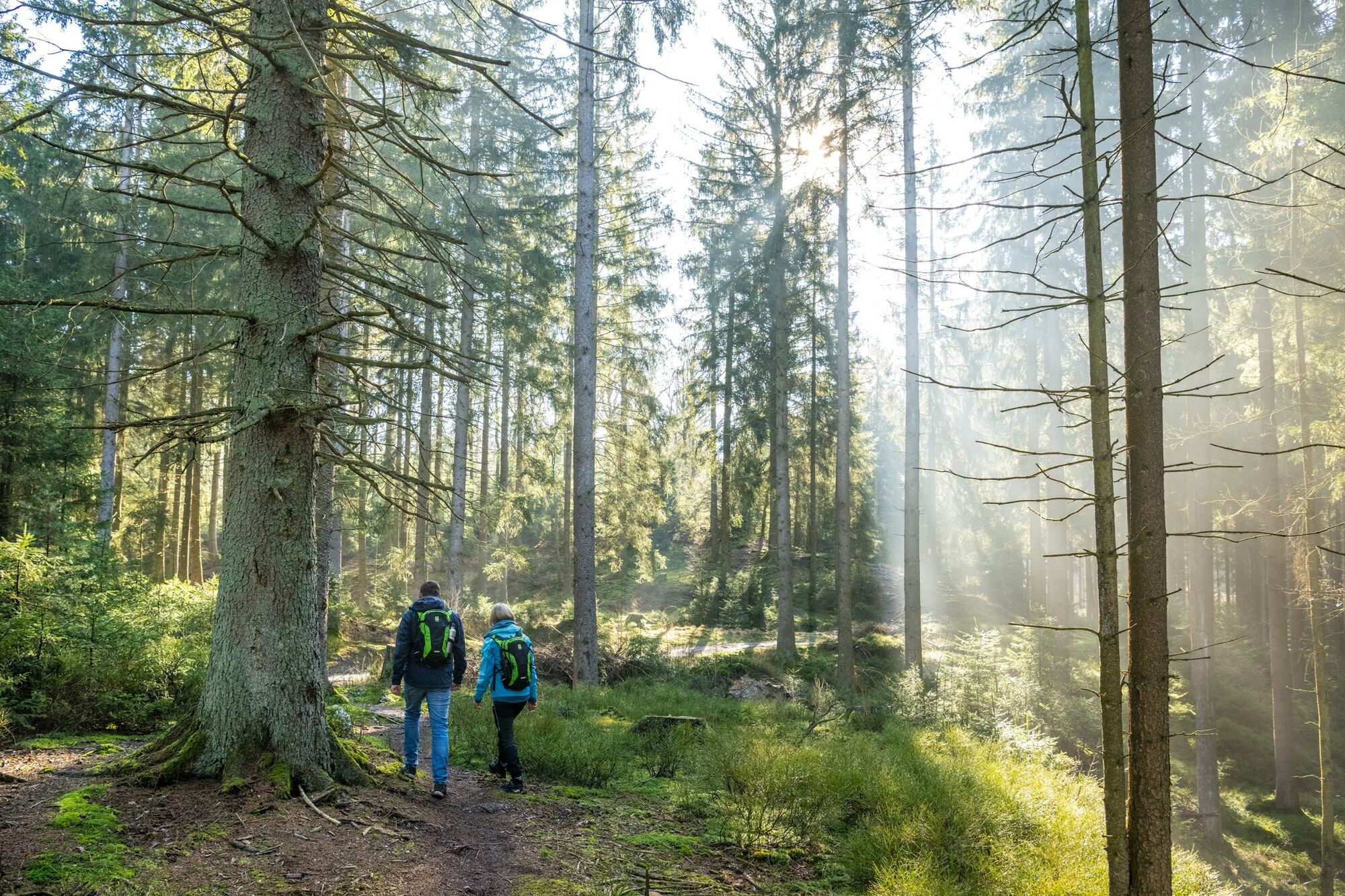
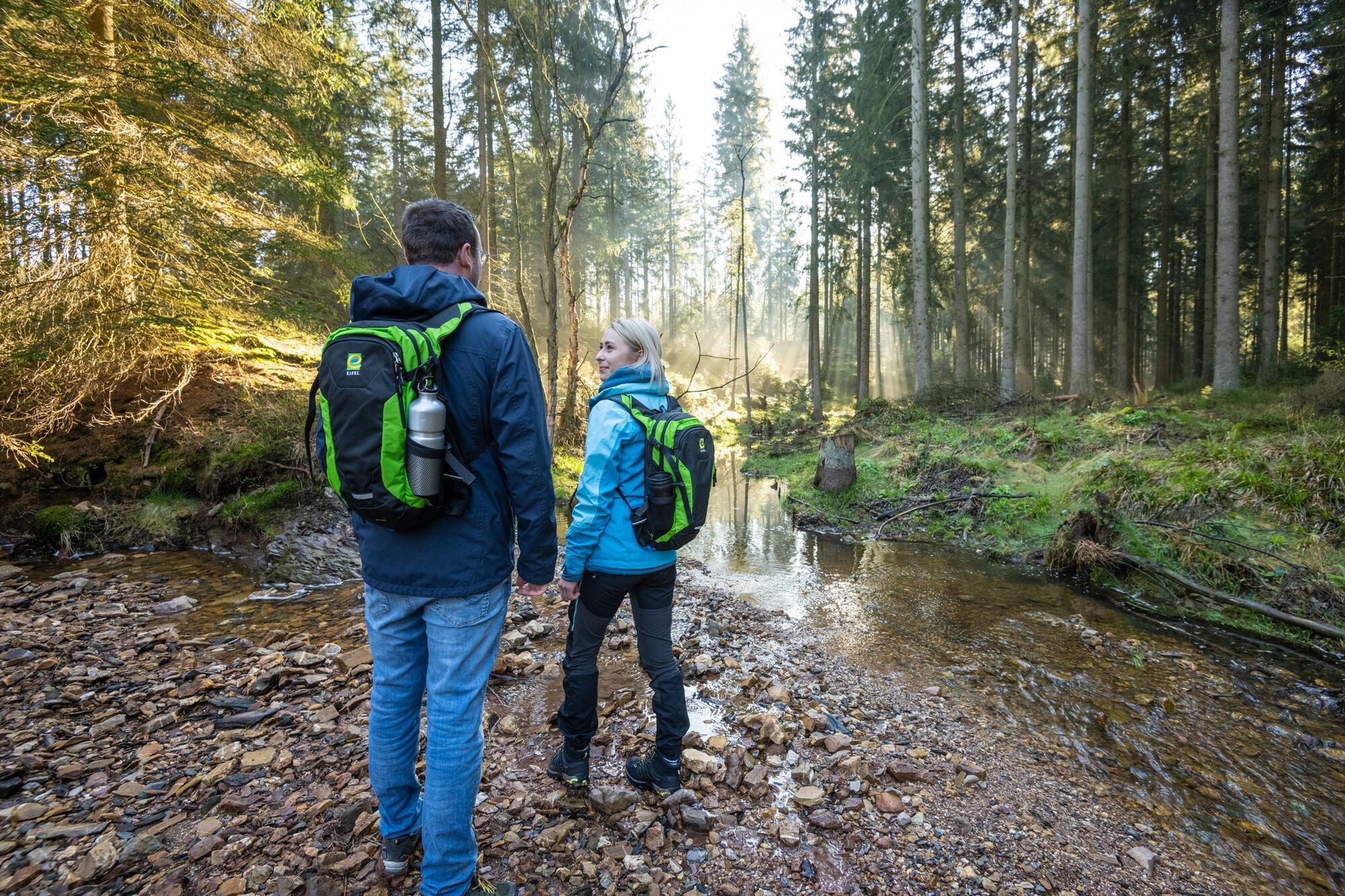
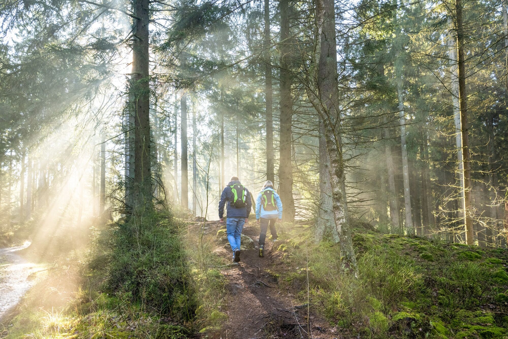
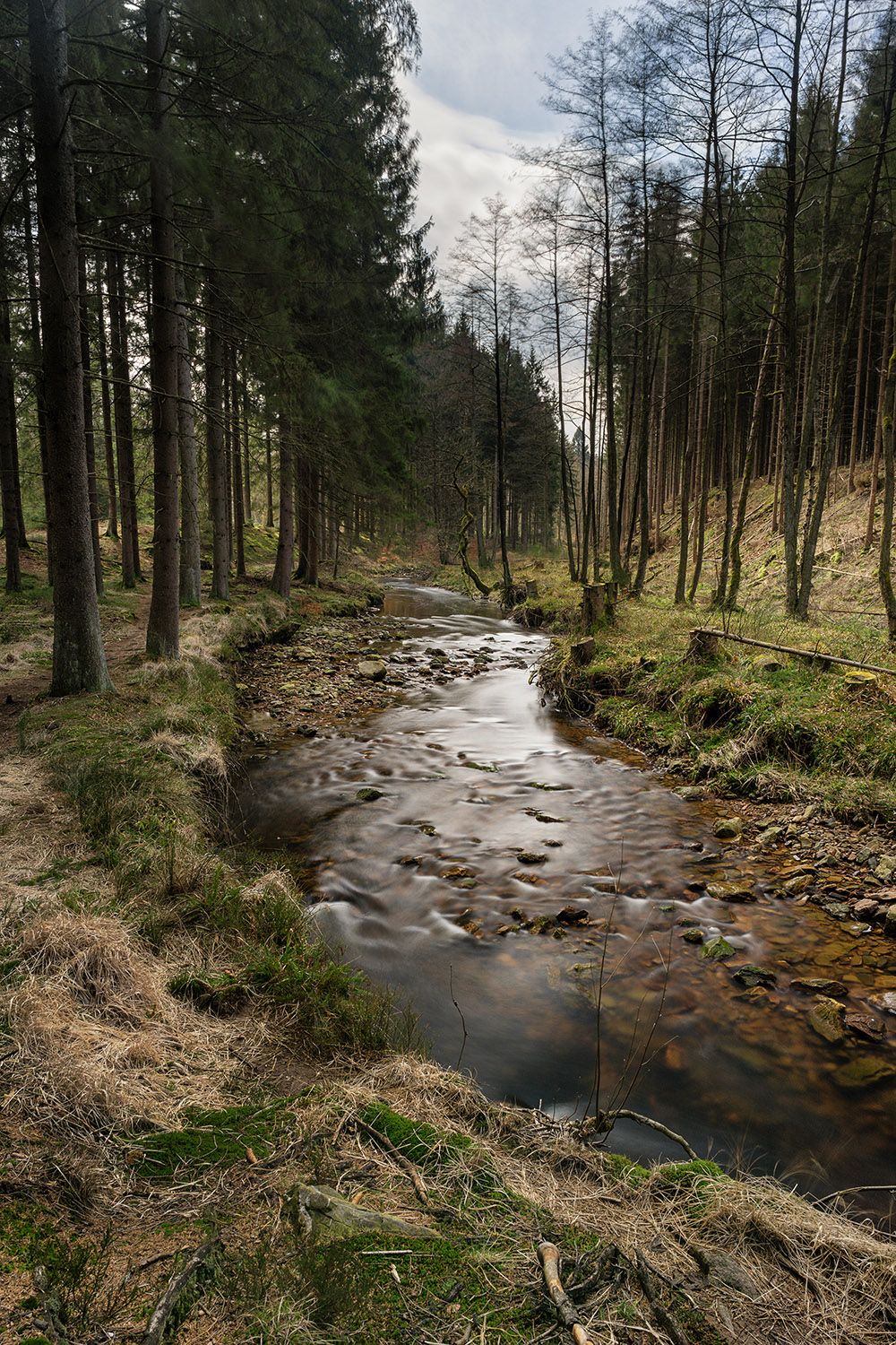
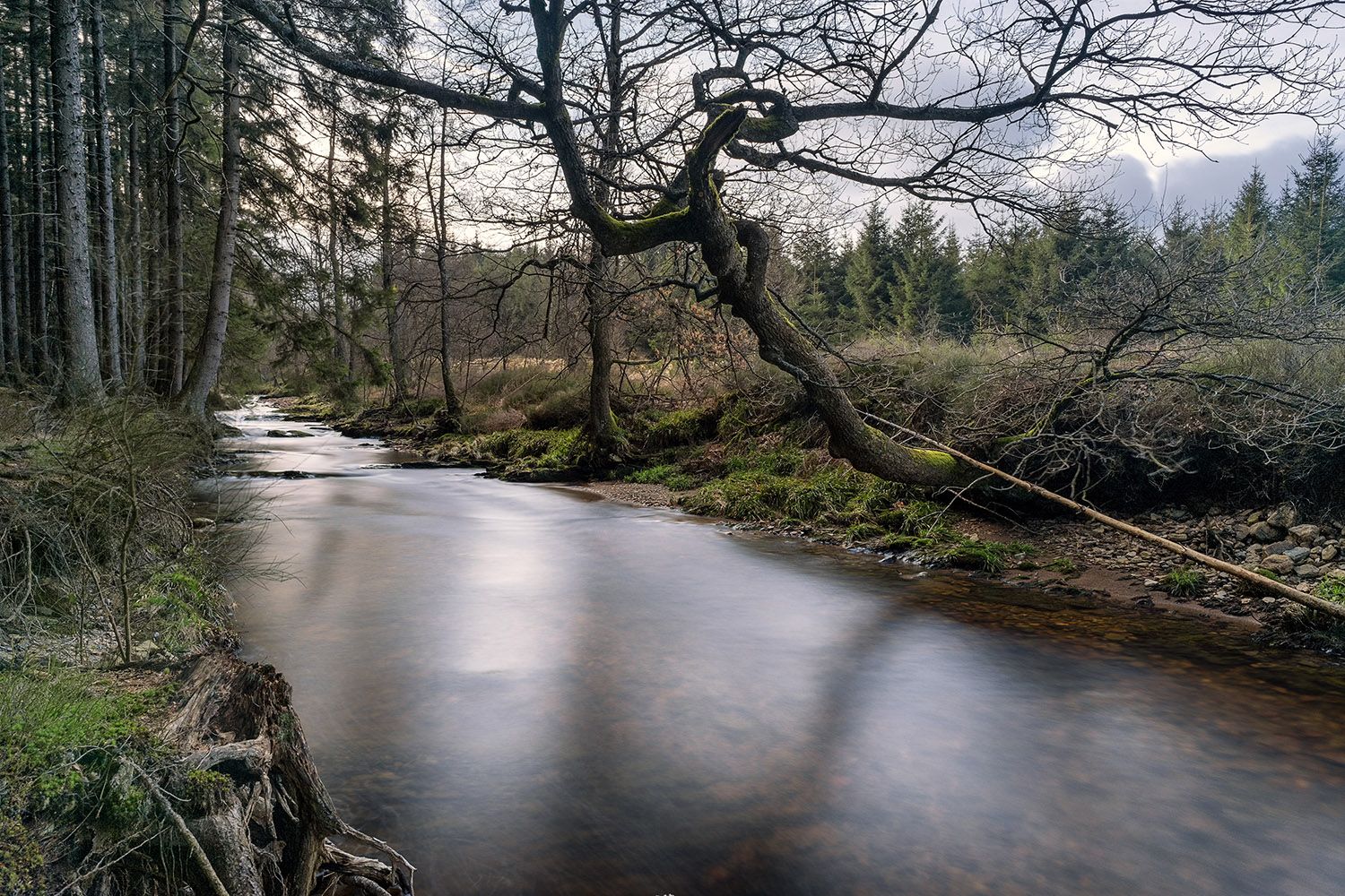
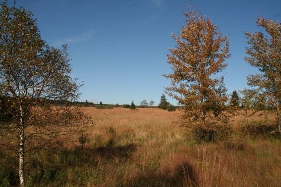
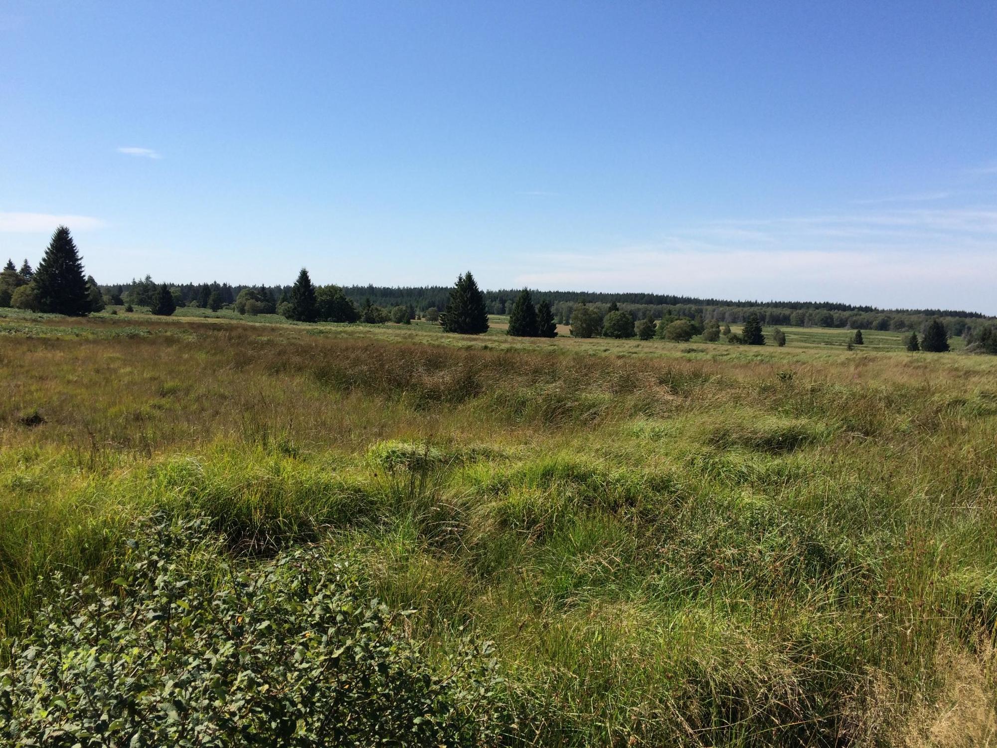
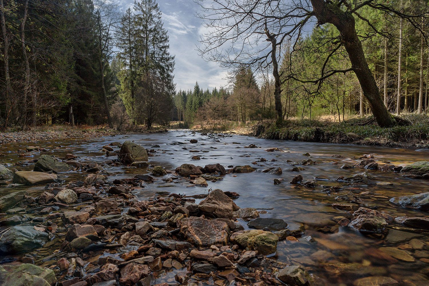
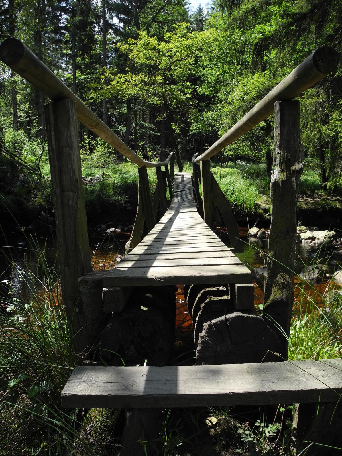
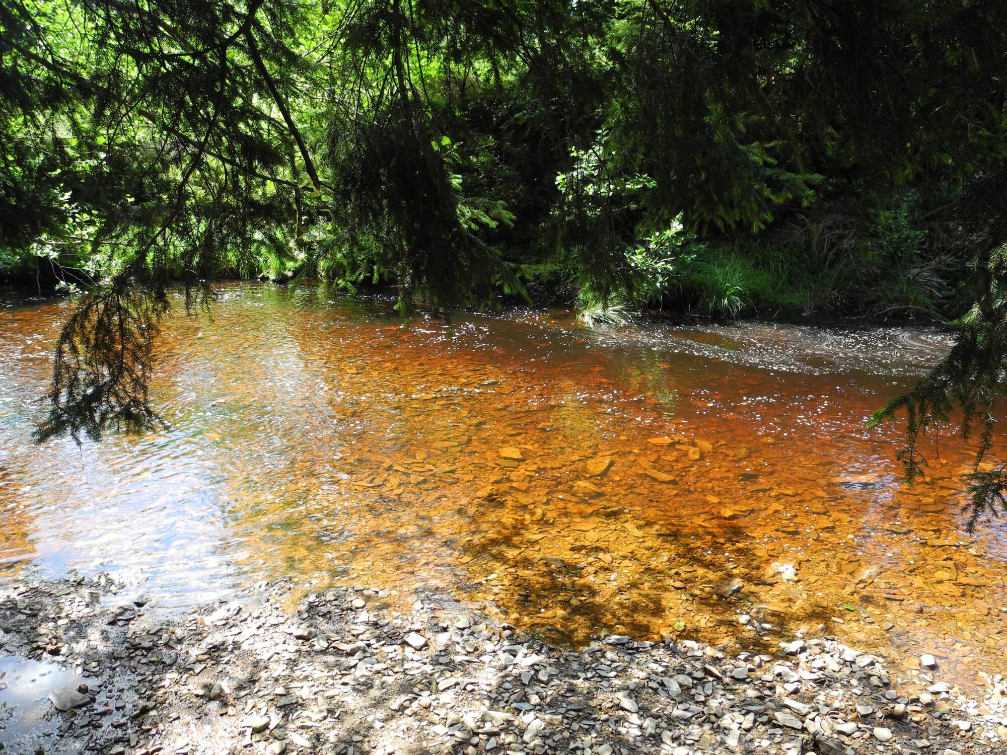
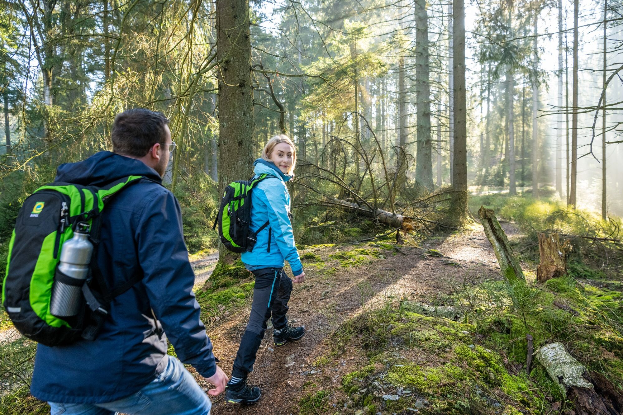
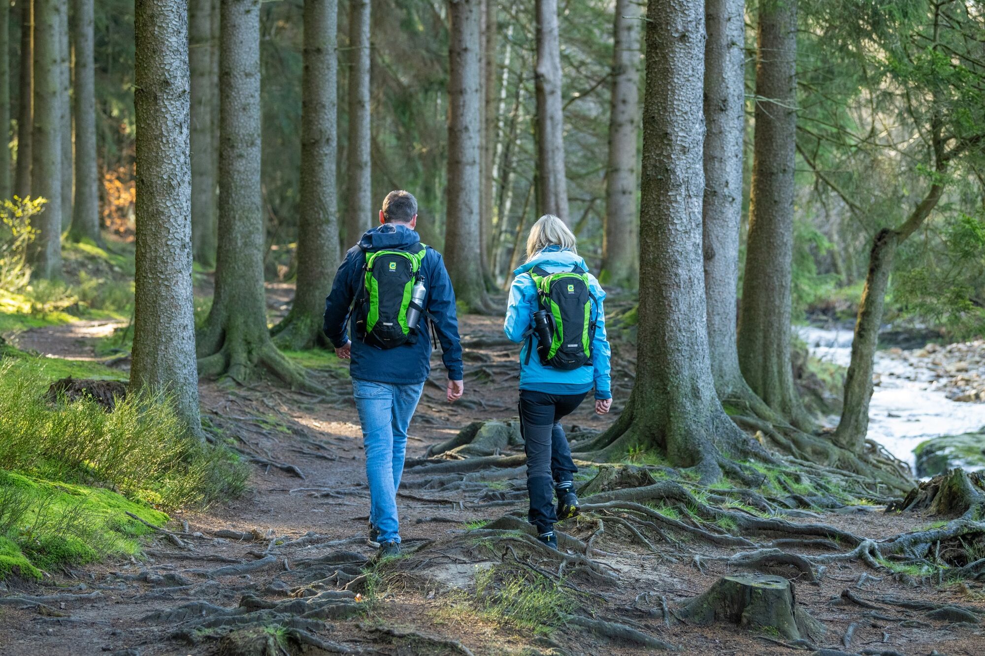
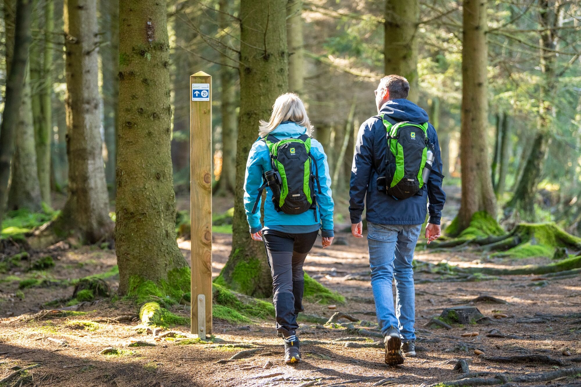
A hike to fall in love with! This idyllic tour leads through dense woodland along wild streams and rivers that originate in the plateau of the Hohes Venn.
- Sværhedsgrad
-
medium
- Evaluering
-
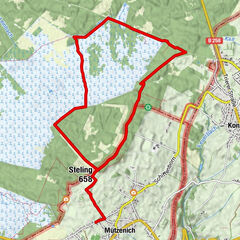
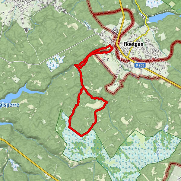
- Rute
-
PetergensfeldKapelle Reinartzhof8,1 kmPetergensfeld14,7 km
- Bedste sæson
-
janfebmaraprmajjunjulaugsepoktnovdec
- Højeste punkt
- 516 m
- Destination
-
Roetgen-Petergensfeld
- Højdeprofil
-
 © outdooractive.com


- Forfatter
-
Rundvisningen The untouched countryside along the Weserbach to the Hohes Venn bruges af outdooractive.com forudsat.
GPS Downloads


Generel information
Insider-tip
Flora
Flere ture i regionerne
-
Eifel & Aachen
1425
-
Hohes Venn
601
-
Roetgen
257